Top 11 Natural Monuments around Ramillies
Best natural monuments around Ramillies are found in the Walloon Brabant region, characterized by its countryside and natural features. While Ramillies itself may not have explicitly designated natural monuments, the surrounding area offers several notable natural attractions. These include ancient geological formations, historical sites with natural elements, and protected natural areas. The landscape provides opportunities for walking and exploring diverse natural settings.
Best natural monuments around Ramillies
- The most popular natural monument is Seron Tumulus I, a historical site…
Last updated: June 28, 2026
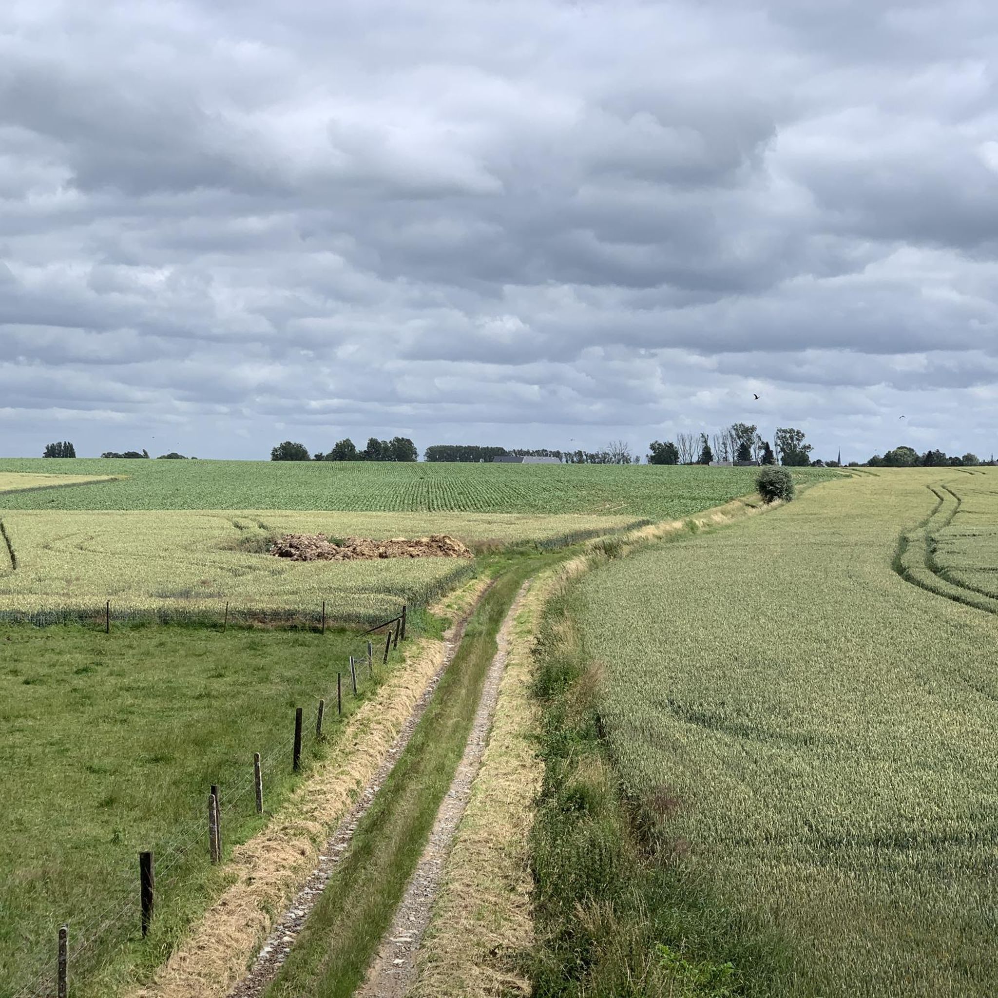
Narrow sunken lane
Highlight • Trail
Translated by Google •
Tip by

Seron Tumulus I
Highlight • Historical Site
Translated by Google •
Tip by

Sign up now to discover places like this
Get recommendations on the best single tracks, peaks, & plenty of other exciting outdoor places.
Sign up for free
Via Longa (Sunken Lane Haspengouw)
Highlight • Trail
Translated by Google •
Tip by

Hill path
Highlight • Trail
Translated by Google •
Tip by
The Sept Fontaines Nature Reserve
Highlight • Natural Monument
Today there is a water pumping station and watercress beds are still in use.
Translated by Google •
Tip by
Sign up for free to discover even more natural monuments around Ramillies.
Sign up for free
Already have an account?
Start today with a free account
Your next adventure awaits.
Login or Signup

Tips from the Community

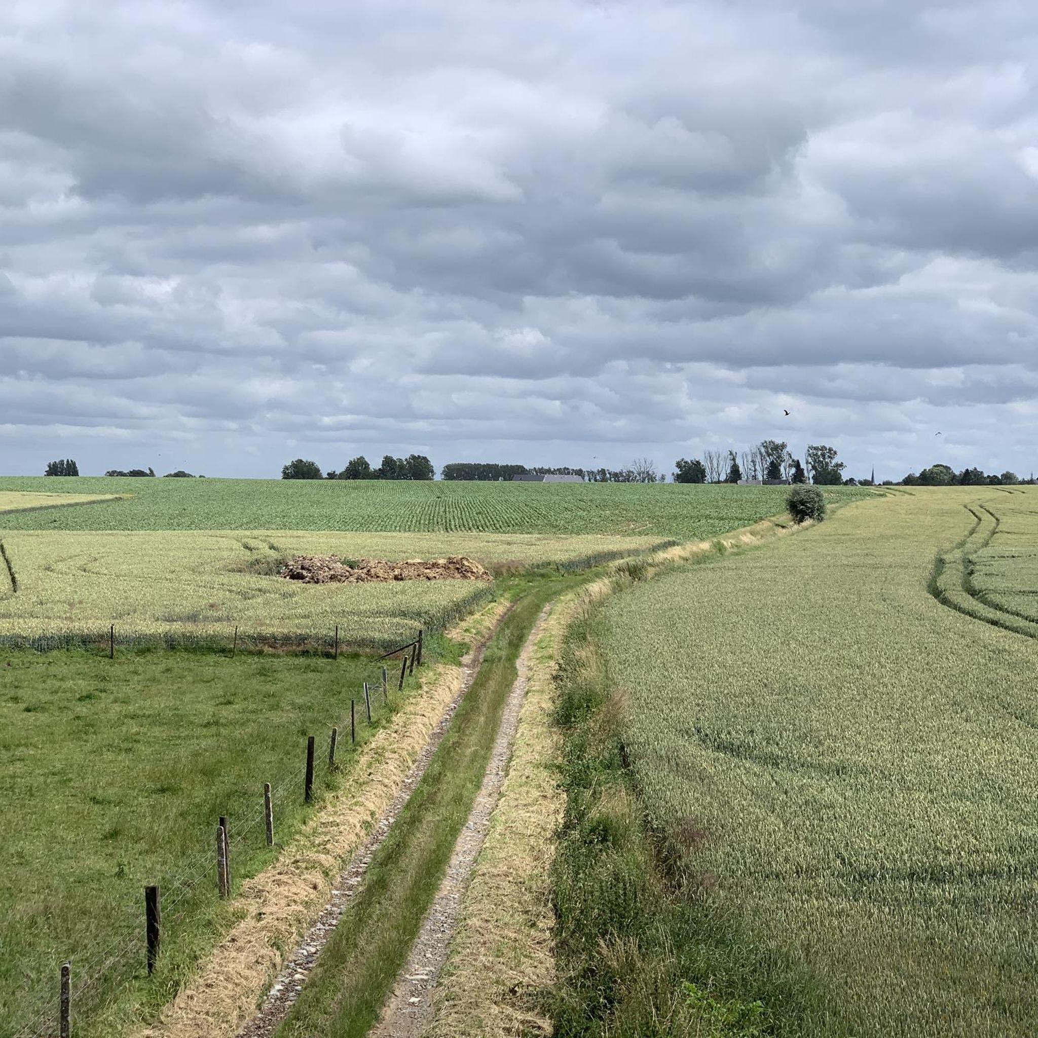
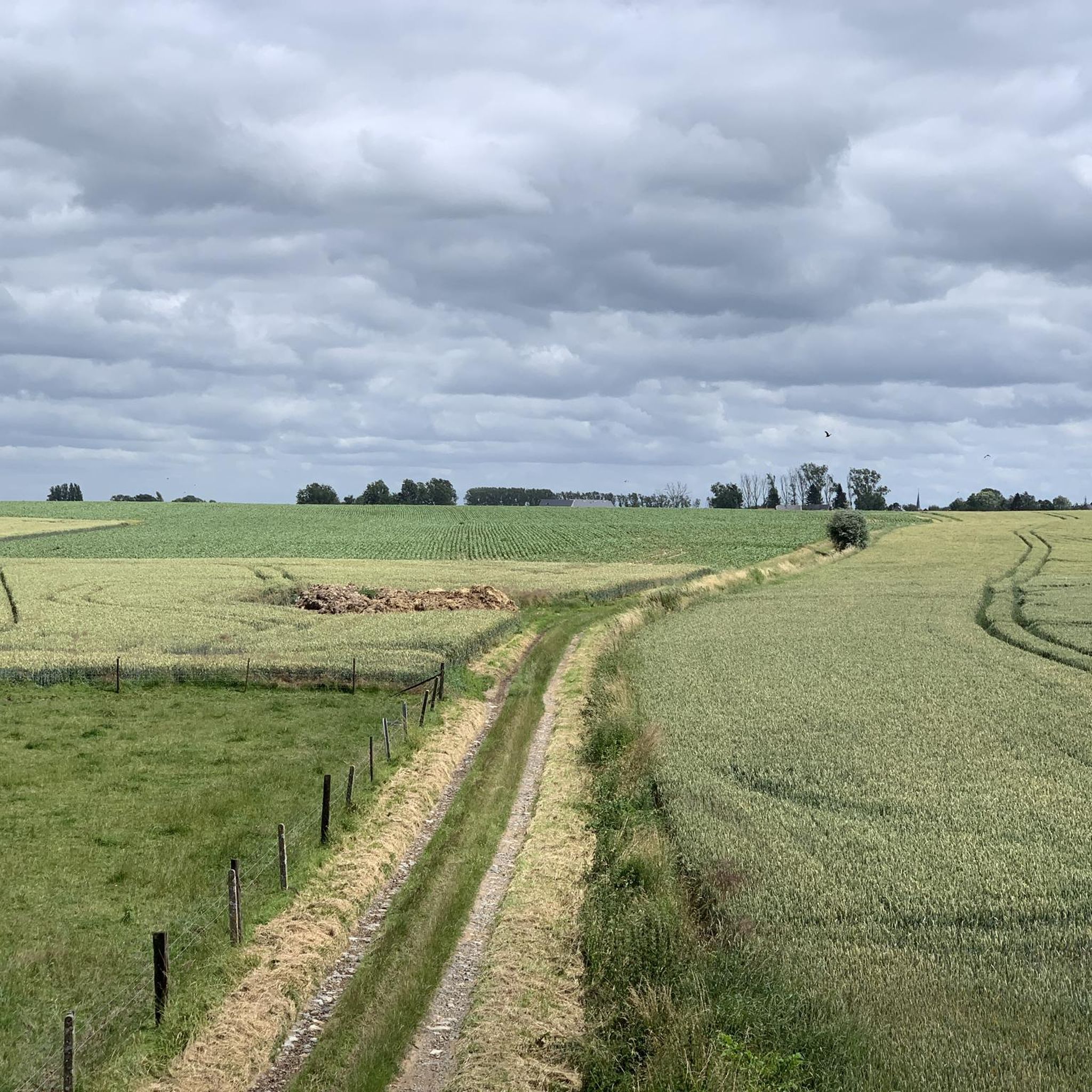
A narrow hollow way, for sure. But above all a hollow way with a particularly rich life, not least of all the mammals typically found in hollow ways, which like to linger here, as evidenced by all the many tracks and entrances to all sorts of burrows. A delight. And typically Rosdel.
6
0
The many sunken roads in Hoegaarden (and its sub-municipalities like here) form valuable lines in the landscape. The preservation of these linear landscape elements was heavily debated in the first land consolidation plans. Through targeted actions, Natuurpunt was able to preserve a series of unpaved country roads. These green corridors are the habitat of the yellowhammer and woodlark. And you enjoy them. Source: https://www.natuurpunt.be/natuurgebieden/rosdel
6
0
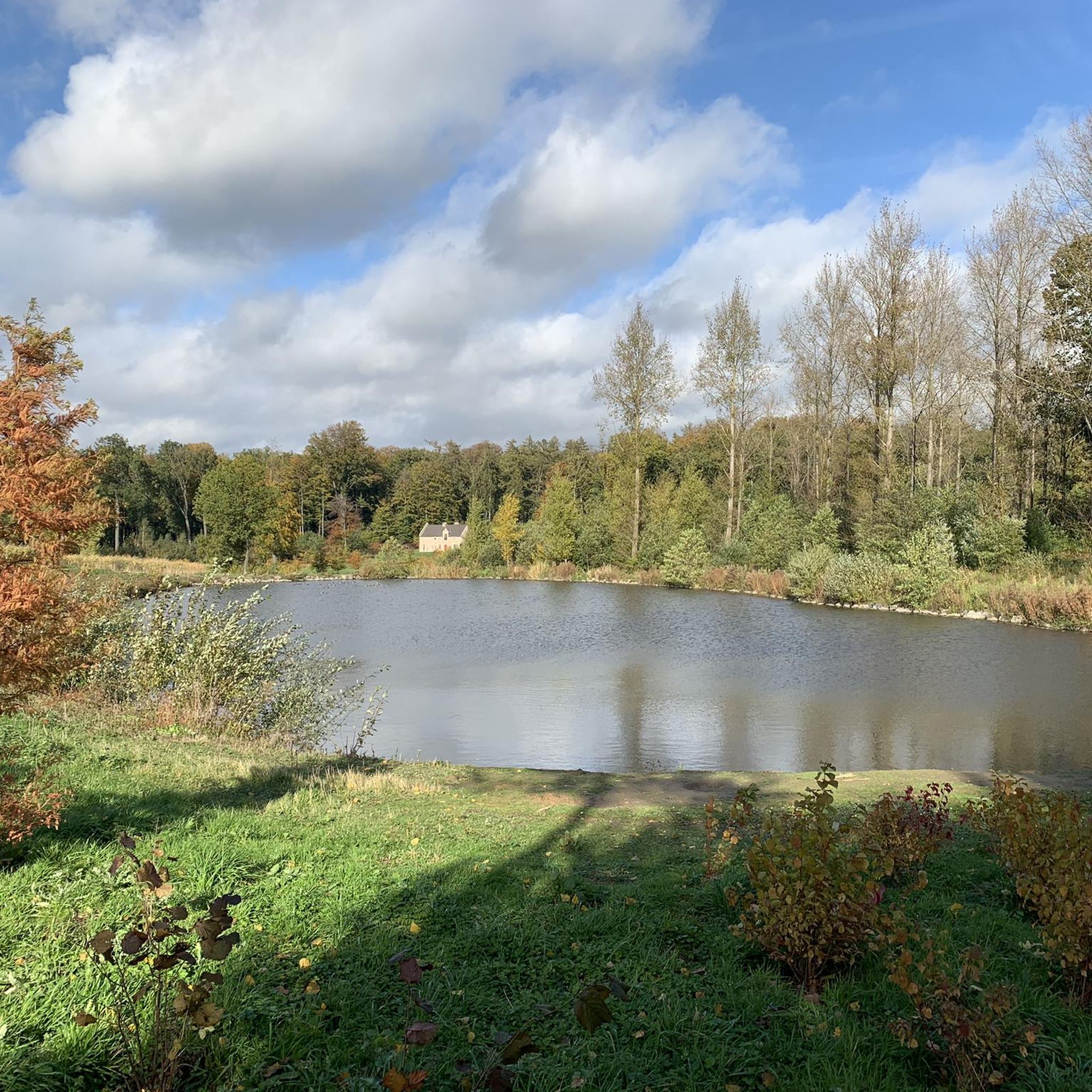
The Henri Fontaine stream rises between Cras-Avernas and Bertrée, then irrigates several villages in the commune of Hannut before crossing the reserve at Grand-Hallet. Its source has long been linked to watercress cultivation, which requires good quality water.
6
0
This marshy area of 21 hectares was already inhabited in prehistoric times and buildings were built in Roman times. Today there is a water pumping station and watercress beds are still in use. The area includes part of the valley of the Henri-Fontaine stream with flora that can no longer be found in the rest of the area. Damp meadows, dense reed land and tall perennial herbaceous plants of 1.5 to 2 meters high, located in alluvial zones on non-acidic and fairly moist soil with pieces of forest with trees that do well on wet soils, such as alders: these are remnants of the typical wet valleys that you often saw before agriculture became increasingly intensive. You cannot enter the nature reserve itself but you can see it quite well and at a certain point (if you follow the path next to it) you come to a beautiful piece of alluvial forest with the stream. Be sure to also walk to the Moulin Dardenne, which is located on the edge of the area on another road and location with the nature reserve behind it and streams that come out of the nature reserve. This is also the start of the path along the nature reserve. On the other side you will also find a start of the path - with information board - at a junction with the Rue du Condroz in Grand-Hallet. You will find it just before the bend behind which the Dardenne watermill is located. Turn left, it rises a little and then you are on the path. More on https://www.hannut.be/wp-content/uploads/2021/06/brochure-7-fontaines-nl.pdf where you will find a full description of a 'seven-sources walk' that of course runs along the nature reserve and many sights around it.
6
0
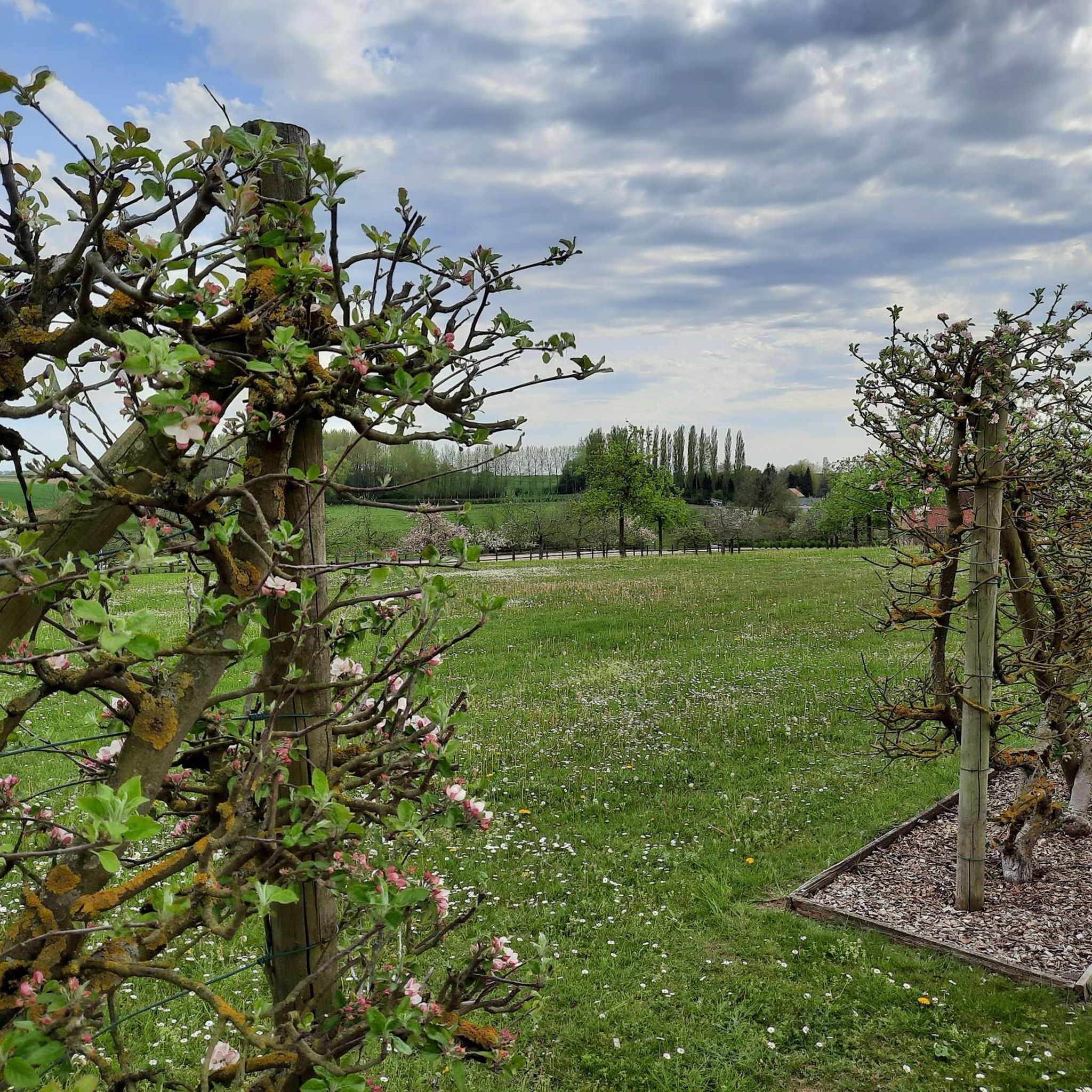
This path, which you reach after a short, steep climb from the stream, leads you along an inaccessible nature reserve, where you literally walk above an old quarry and caves for a part. At a certain point you literally walk above the entrance to that underground quarry that you can also see below. Part of the path runs between the edge of the valley and fields and on another part you have the nature reserve instead of the fields that was given the name 'Réserve naturelle Natagora des Caves Paheau'. Natagora is the counterpart of Natuurpunt and the quarry and caves are therefore called the 'caves Paheau'.
5
0

Beautiful long sunken road👏👏
1
0


A sunken road is a road that is so deeply worn that it lies between two slopes. It is the result of centuries of use and erosion. The most beautiful sunken roads can be found especially in hilly areas with a subsoil that easily forms steep walls, such as in Haspengouw and Hageland.
3
0
Frequently Asked Questions
What types of natural monuments can I explore near Ramillies?
The area around Ramillies, particularly in the Walloon Brabant region, offers a diverse range of natural monuments. You can discover ancient geological formations like deeply worn sunken lanes, historical sites with natural elements such as Gallo-Roman tumuli, and protected natural areas. These sites provide opportunities for walking and exploring varied natural settings.
Are there any historical natural monuments to visit near Ramillies?
Yes, several natural monuments in the region also hold historical significance. For instance, Seron Tumulus I consists of three remarkably visible Gallo-Roman tombs that offer distant views of the Hesbaye Namur landscapes. Another historical natural monument is Via Longa (Sunken Lane Haspengouw), an ancient Roman road known for its steep flanks and rich biodiversity.
What is the Hélécine Estate and what does it offer?
The Hélécine Estate, located approximately 40 km from Brussels in eastern Walloon Brabant, is a significant natural attraction near Ramillies. It features a 28-hectare park surrounding Hélécine Castle, including a nature reserve, an educational pond, and three fishing ponds. Visitors can also find a giant sundial and a 19th-century icehouse within its grounds. It's ideal for relaxation, walking, fishing, mini-golf, and pétanque.
Are there family-friendly natural monuments around Ramillies?
Yes, the region offers options suitable for families. Seron Tumulus I is categorized as family-friendly, offering an interesting historical and natural experience. Additionally, the nearby Hélécine Estate is highly recommended for families, providing ample space for walking, nature exploration, and activities like mini-golf.
What kind of views can I expect from the natural monuments?
Many natural monuments offer scenic viewpoints. From Seron Tumulus I, you can enjoy distant views of the Hesbaye Namur landscapes. The Hill path also provides nice views, leading you along an inaccessible nature reserve and above an old quarry and caves.
What are sunken lanes and where can I find them?
Sunken lanes are deeply worn roads that lie between two slopes, formed by centuries of use and erosion. They are geologically fascinating and often rich in flora and fauna. You can experience this unique natural feature at Narrow sunken lane, which leads to the Roddel nature reserve, and at Via Longa (Sunken Lane Haspengouw).
What outdoor activities can I do near these natural monuments?
The area around Ramillies offers various outdoor activities. You can find numerous hiking trails, including moderate routes like the Hamoir Farm – Orp-Jauche Castle loop. For cycling enthusiasts, there are gravel biking and mountain biking routes available. You can explore more options on the Hiking around Ramillies, Gravel biking around Ramillies, and MTB Trails around Ramillies guide pages.
Is there a nature reserve focused on water features near Ramillies?
Yes, The Sept Fontaines Nature Reserve is a marshy area of 21 hectares, historically inhabited and known for its water pumping station and watercress beds. It includes part of the Henri-Fontaine stream valley with unique flora, damp meadows, dense reed land, and alluvial forests. While you cannot enter the reserve itself, you can follow paths alongside it to observe its natural beauty.
What do visitors enjoy most about the natural monuments around Ramillies?
Visitors particularly appreciate the unique geological formations like the sunken roads, which are described as 'geologically fascinating' and 'fun to walk through.' The historical aspect of sites like the Seron Tumuli and Via Longa also draws interest. The diverse flora and fauna found in these areas, especially along the steep flanks of the sunken lanes and within nature reserves, are also highly valued.
Are there any natural monuments that involve caves or quarries?
Yes, the Hill path leads you along an inaccessible nature reserve where you literally walk above an old quarry and caves. At one point, you can even see the entrance to the underground quarry below. This area is known as the 'Réserve naturelle Natagora des Caves Paheau'.
What is the best way to explore the natural monuments around Ramillies?
The best way to explore these natural monuments is often on foot. Many of them are trails or historical sites integrated into walking paths. For example, the sunken lanes are specifically highlighted as enjoyable to walk through. The Hélécine Estate also offers a large walking park. You can find detailed routes and information on komoot's guide pages for Hiking around Ramillies.
Most popular routes around Ramillies
Most popular attractions around Ramillies

Get inspired with the komoot mobile app


Explore more
Extend your search for the best caves by checking out these guides of the top ones around Ramillies:
