Top 13 Mountain Passes around Lom
Best mountain passes around Lom, a national park village in Norway, serve as access points to the country's high mountain regions. The area features dramatic high-altitude landscapes, glaciers, and towering peaks. Lom is situated as a gateway to Jotunheimen National Park and Breheimen National Park. The region offers a blend of natural beauty and historical routes.
Best mountain passes around Lom
- The most popular mountain pass is Fantesteinen Pass Summit, a mountain pass that marks the highest point of…
Last updated: June 28, 2026
Fantesteinen Pass Summit
Highlight • Mountain Pass
Translated by Google •
Tip by

Sognefjellet Pass Summit (1428 m)
Highlight • Mountain Pass
Translated by Google •
Tip by

Sign up now to discover places like this
Get recommendations on the best single tracks, peaks, & plenty of other exciting outdoor places.
Sign up for free
Sognefjellsvegen Scenic Road
Highlight • Mountain Pass
Make sure to check the weather forecast as it can be quite different at the top than in by the fjord.
Tip by

Valdresflye Pass Road
Highlight (Segment) • Mountain Pass
Translated by Google •
Tip by

Iconic Stretch of Sognefjellsvegen
Highlight (Segment) • Mountain Pass
Tip by

Sign up for free to discover even more mountain passes around Lom.
Sign up for free
Already have an account?
Start today with a free account
Your next adventure awaits.
Login or Signup
Popular around Lom
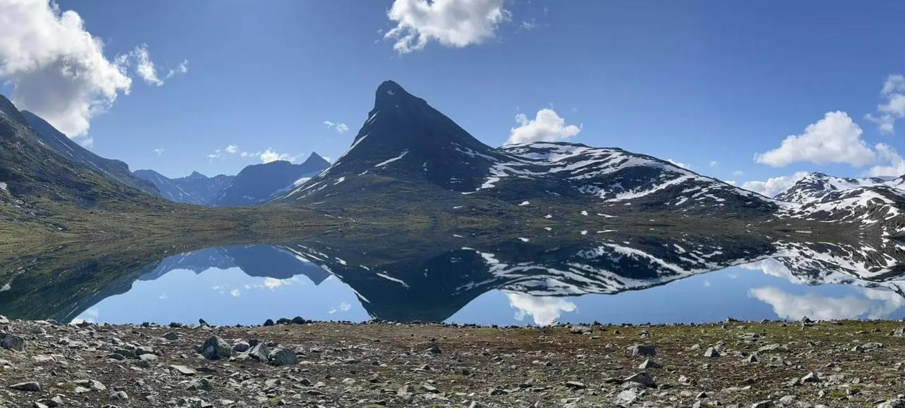
SignaTUR Omveien – Vast wilds, epic peaks and deep valleys

MASSIV-Ruta – Steep mountains and deep valleys, a Norwegian adventure
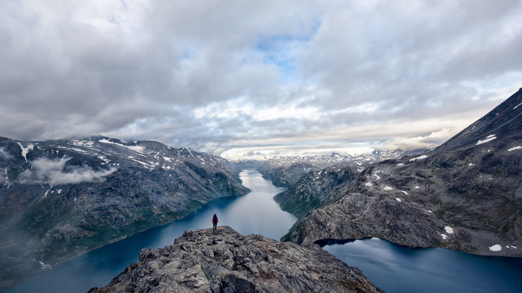
A 5-day-hike around Norway's Jotunheimen
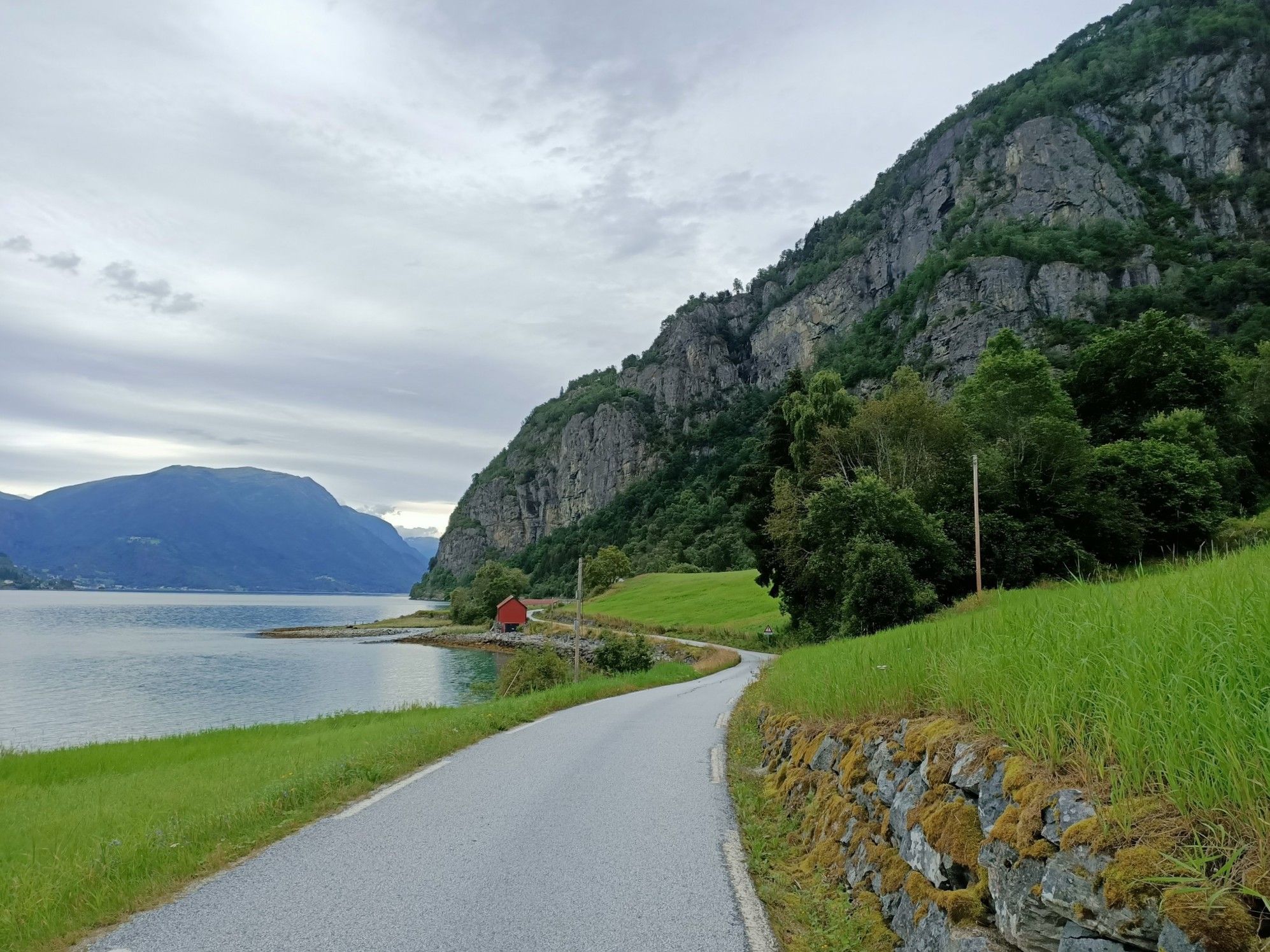
Beyond the peaks – Sognefjellsveien
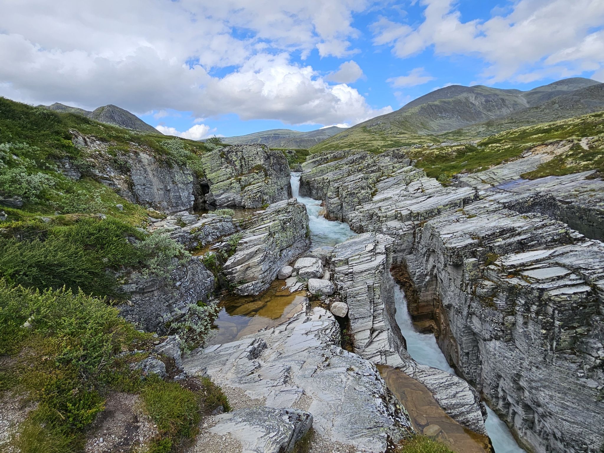
Discover nature and culture – day Tours in the south of Norway
The secret gardens of Jotunheimen – among Norway's giants
Hiking around Lom
Running Trails around Lom
Road Cycling Routes around Lom
Cycling around Lom
Other adventures around Lom


Tips from the Community

A breathtaking scenery with snow in midsummer. The highest point is the Fantesteinen. In midsummer (late June), you can even still see cross-country skiers – so it's still very cool to cold.
0
0

At the top of the pass there are fantastic waffles in the café, clean toilets and a magnificent view. This is a great place to replenish lost calories. The pass road itself is easy to drive, but beware of tourists driving unsteadily.
1
0

Here, at around 1400 m altitude, is the highest road point in Scandinavia, just above the large mountain hut Sognefjellhytta
4
0

You should not miss this stretch of road. A straight piece of asphalt is draped here over five large hills. An asphalt 'sine wave' stretches out amid the majestic mountain landscape of Jotunheimen, with a mighty glacier in the background.
1
0

Highest pass road in Northern Europe with a wonderful view of glaciers and glacial lakes
3
0
Highest pass road in Northern Europe with a wonderful view of glaciers and glacial lakes
2
0

From the south the passage starts eg in Beitostølen. There is a Spar where you can get provisions again. The passage leads over the 51 and is therefore well paved but also quite busy. There are many tourists here. On the north side, the passage ends at about the rapids of the Sjoa. The first ascent leads up to the Bitihorn. It is not particularly steep and therefore easy to drive. Shortly before the Bitihorn there is a vantage point with a rest area. from here you have a fantastic view of the southern valley and the distant mountains. The pass leads through a gorge east of the Bitihorn. From here it goes down to Bygdin, where there is also a ferry terminal. The actual ascent to the Valdresflye begins in Bygdin. This is a bit steeper at the beginning. But there are always rest areas that offer a great view of the valleys, lakes and mountains. There then follows a longer straight section up to the pass, which is not particularly steep and is easy to ride. From here you can see the mighty foothills of Jotunheimen. The descent to the rapids allows for wonderful new views of the mountains to the west of Jotunheimen.
2
0

Information sign about the current altitude.
2
0
Frequently Asked Questions
What are some prominent mountain passes near Lom, beyond Sognefjellsvegen?
Besides the well-known Sognefjellvegen, two other significant mountain passes accessible from Lom are Gamle Strynefjellsvegen and Valdresflye. Gamle Strynefjellsvegen offers a historic, unpaved journey, while Valdresflye provides expansive views towards Jotunheimen National Park.
What makes Gamle Strynefjellsvegen a unique mountain pass to visit?
Gamle Strynefjellsvegen, or the 'Old Stryn Mountain Road,' is a historic 27-kilometer scenic drive, largely unpaved, that dates back to the late 19th century. It's considered a museum experience in itself, showcasing impressive old stone masonry and guard stones. Visitors can enjoy stunning views, including those along Langvatnet and Heillstuguvatnet lakes, and easily access waterfalls like Videfossen and Øvstefossen. It's excellent for cycling and hiking, offering a journey back in time. You can find more information about this historic route on Visit Norway.
What are the main attractions and features of Valdresflye?
Valdresflye is a 49-kilometer National Scenic Route crossing a mountain plateau, offering endless vistas towards Jotunheimen National Park. Its highest point is at 1,389 meters. It serves as a gateway to excellent outdoor experiences, including hikes to the famous Besseggen ridge and views of the distinctive mountain Bitihorn. The pass also features the unique artwork 'Rock on Top of Another Rock' and the Flye 1389 cafe at its summit. The Valdresflye Pass Road is well-paved and offers fantastic waffles at the café at the top.
Are there good hiking opportunities near the mountain passes around Lom?
Yes, the mountain passes around Lom offer extensive hiking opportunities. Sognefjellvegen provides easy access to trails within Jotunheimen and Breheimen National Parks. Valdresflye is a starting point for hikes like the famous Besseggen ridge. For more detailed routes, explore the Mountain Hikes around Lom guide, which includes challenging routes like the Spiterstulen Lodge to Glittertind.
Can I cycle on the mountain passes near Lom?
Absolutely! Cycling is a popular activity on the mountain passes around Lom. The Sognefjellsvegen Scenic Road is known as a challenging cycle way and climb, ascending to 1,400 meters. Valdresflye also offers great cycling, though it includes challenging climbs. For more cycling routes, check out the Cycling around Lom guide, which features routes like the 100km journey from Lom Stave Church to Sognefjellshytta.
What natural features and viewpoints can I expect along the mountain passes?
The mountain passes around Lom are renowned for their dramatic natural beauty. You can expect spectacular views of glaciers like Smørstabbreen, towering peaks, and verdant valleys. Highlights include the Sognefjellet Pass Summit (1428 m), offering views of glaciers and glacial lakes, and the Fantesteinen Pass Summit, the highest point of the RV 55. Valdresflye offers endless vistas towards Jotunheimen National Park. You'll also find waterfalls along Gamle Strynefjellsvegen.
What is the best time to visit the mountain passes around Lom?
The mountain passes around Lom are typically open during the warmer months. Sognefjellvegen is usually open from late May to early November. Gamle Strynefjellsvegen is generally accessible from June until late autumn, and Valdresflye from late April to early November. These opening times are dependent on snow conditions, so it's always best to check local conditions before planning your trip.
Are there mountain biking trails near Lom's mountain passes?
Yes, there are mountain biking opportunities in the region. While the passes themselves are often road cycling routes, the area around Lom offers dedicated MTB trails. You can explore routes like the 'Gravel Road Along Lake Tesse' or 'Rocky Gorge with Rapids' from the MTB Trails around Lom guide.
What are some notable viewpoints along the Sognefjellvegen?
Along the Sognefjellvegen, you'll find several breathtaking viewpoints. The Fantesteinen Pass Summit marks the highest point of the RV 55 and offers stunning nature views. The Sognefjellet Pass Summit (1428 m) provides a wonderful view of glaciers and glacial lakes. Don't miss the Iconic Stretch of Sognefjellsvegen, an asphalt 'sine wave' amidst the majestic Jotunheimen landscape with a mighty glacier in the background.
Are there facilities like cafes or parking available on the mountain passes?
Yes, some mountain passes offer facilities. For instance, the Valdresflye Pass Road has a cafe at its summit, Flye 1389, which is known for fantastic waffles and clean toilets, along with parking. The Sognefjellshytta mountain lodge is located at the highest point of Sognefjellvegen, offering a place to stop and take in the scenery.
What do visitors enjoy most about the mountain passes around Lom?
Visitors frequently praise the dramatic high-altitude landscapes, the stunning views of glaciers and towering peaks, and the rich history of routes like Gamle Strynefjellsvegen. The access to national parks like Jotunheimen and Breheimen for hiking and cycling is also a major draw. Many appreciate the well-maintained roads and the unique experience of Northern Europe's highest mountain roads.
Most popular attractions around Lom

Get inspired with the komoot mobile app


Explore more
See even more epic mountain passes by checking out these guides around Lom:
