The 7 Most Amazing Peaks around Giebenach
Best mountain peaks around Giebenach are found in the broader Basel-Landschaft region, as Giebenach itself is situated in the Violental valley at a relatively low elevation. While Giebenach's immediate surroundings feature elevated points more akin to hills, the canton offers various accessible locations that provide scenic views and outdoor experiences. These elevated points serve as popular destinations for those seeking panoramic vistas and hiking opportunities.
Best mountain peaks around Giebenach
- The most popular mountain peaks is Eigenturm Observation Tower,…
Last updated: July 7, 2026
Schartenflue
Highlight • Viewpoint
Translated by Google •
Tip by

Eigenturm Observation Tower
Highlight • Viewpoint
Translated by Google •
Tip by

Sign up now to discover places like this
Get recommendations on the best single tracks, peaks, & plenty of other exciting outdoor places.
Sign up for free
Schleifenberg Tower
Highlight • Viewpoint
Translated by Google •
Tip by

Tinguely Museum
Highlight • Monument
Translated by Google •
Tip by

Rheinfelden Railway Station
Highlight • Rest Area
Translated by Google •
Tip by

Sign up for free to discover even more peaks around Giebenach.
Sign up for free
Already have an account?
Start today with a free account
Your next adventure awaits.
Login or Signup
Tips from the Community

The observation tower on Schleifenberg is 30 meters high. Those who manage to climb to the top (after paying the entrance fee) enjoy a magnificent view of the Liestal valley and far beyond. At the foot of the tower lies the Turmwirtschaft (Tower Inn). Its hosts are around ten groups of innkeepers who bring the inn to life every Sunday and public holiday throughout the year. They cook and serve for their guests out of sheer joy in working together.
2
0

easy way to jump on a train looking for fun!
0
0

Rheinfelden train station since 1875 In 1875, Rheinfelden was connected to the Bözberg line, after a train station had already been opened on the Baden side of the Rhine on the Basel-Säckingen line in 1856. The discovery of salt deposits was economically significant. From 1844, the Rheinfelden saltworks, which was closed in 1942, and the Riburg saltworks, which has been in operation since 1848, extracted brine for further processing. Brine has been used for medicinal purposes since 1846, and Rheinfelden developed into a salt spa resort. In addition, chemical companies that use brine as a raw material settled in Rheinfelden at the end of the 20th century. The Salmen brewery (closed in 2002) was founded in 1799 and the Feldschlösschen brewery in 1876. The latter is now the largest brewery in Switzerland and an important employer in the region. In 1873, the concession was granted for the Rheinfelden power plant, which was completed in 1898 as the largest river power plant and the first low-water power plant in the world. The plant has been completely renovated since 2003. The Wuhrmann cigar factory, founded in 1876, still produces hand-rolled cigars today. In the second half of the 20th century, Rheinfelden developed into an agglomeration municipality in the Basel region, whose residents also worked in the surrounding commercial and industrial zones. New residential areas were built around the city, including the Augarten settlement (from 1973), which is accessible via the A3 and has been connected to the Basel S-Bahn network with its own train station since 2008. Text / Source: Historical Dictionary of Switzerland (HLS) https://hls-dhs-dss.ch/de/articles/001803/2012-01-04/
14
0

Unfortunately, there is not much going on at the station itself apart from the snack bar and Avec.
0
0

Just below the museum is an entry point for Rhine swimmers
4
1

The Museum Tinguely in Basel is an art museum
5
0
The Schleifenberg Tower is an observation tower in the municipality of Liestal in the canton of Basel-Landschaft. The current steel framework tower was built in 1900 by the Liestal Transport and Beautification Association to replace the previous wooden tower (built in 1891). Renovation work was carried out on the tower in 1932, 1985 and 2007. Maintenance is ensured by the Liestal Tourism Association, which is also responsible for the tower restaurant. When a team of hosts opens the tower restaurant, this is traditionally signaled by the flag hoisted on the top of the tower; otherwise no flag is visible. Access is via a turnstile with cash payment by inserting coins. With an entrance fee of CHF 0.50, you can climb 150 steps to the observation platform at a height of 28.5 meters. https://de.m.wikipedia.org/wiki/Schleifenbergturm
7
1

Very beautiful good art directly in the Tinguely Museum on the Rhine
1
0
Frequently Asked Questions
What are some prominent elevated points or "peaks" to visit near Giebenach?
While Giebenach itself is in a valley, the broader Basel-Landschaft region offers several notable elevated points. These include local hills like Lyssbüchel, and higher summits such as Lauchflue and Hinteri Egg, which is the highest point in the canton. For panoramic views, you can visit observation towers like the Eigenturm Observation Tower and the Schleifenberg Tower.
What kind of views can I expect from the mountain peaks in the Basel-Landschaft region?
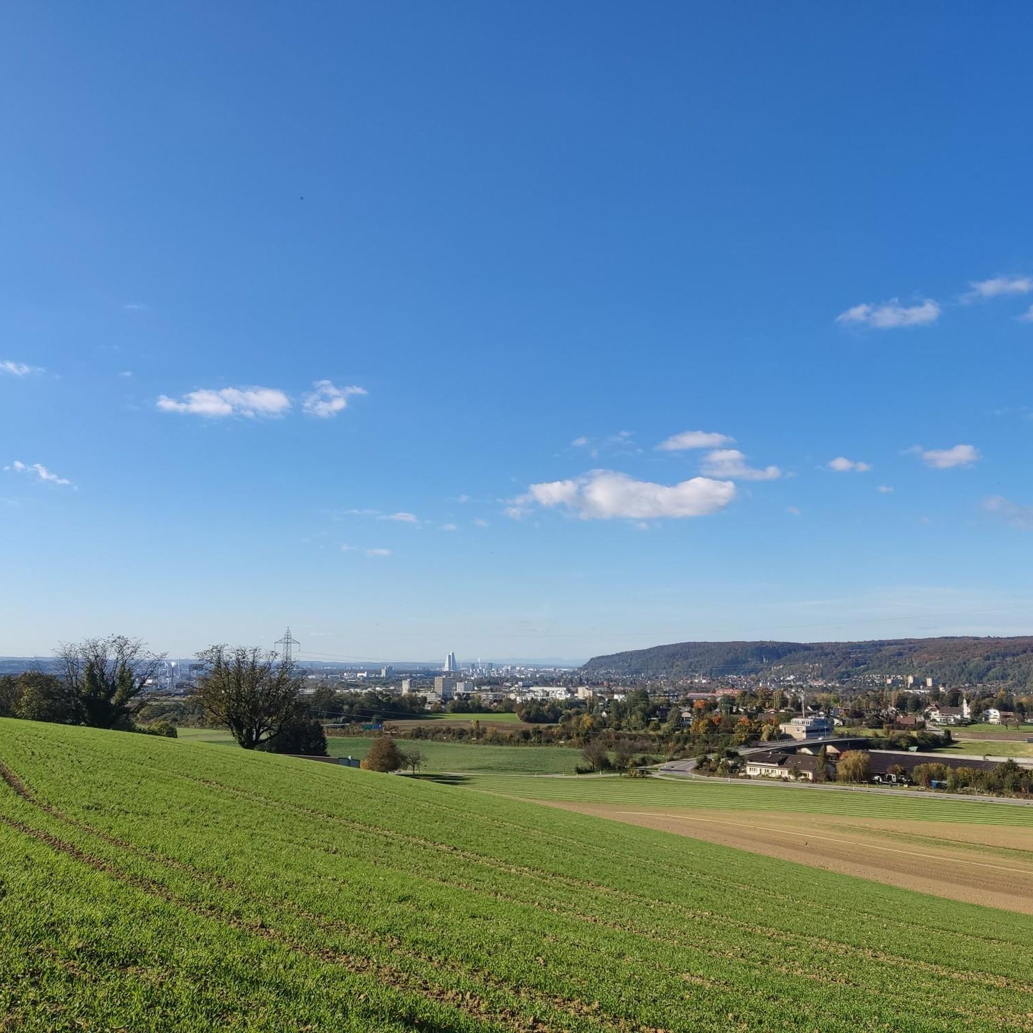
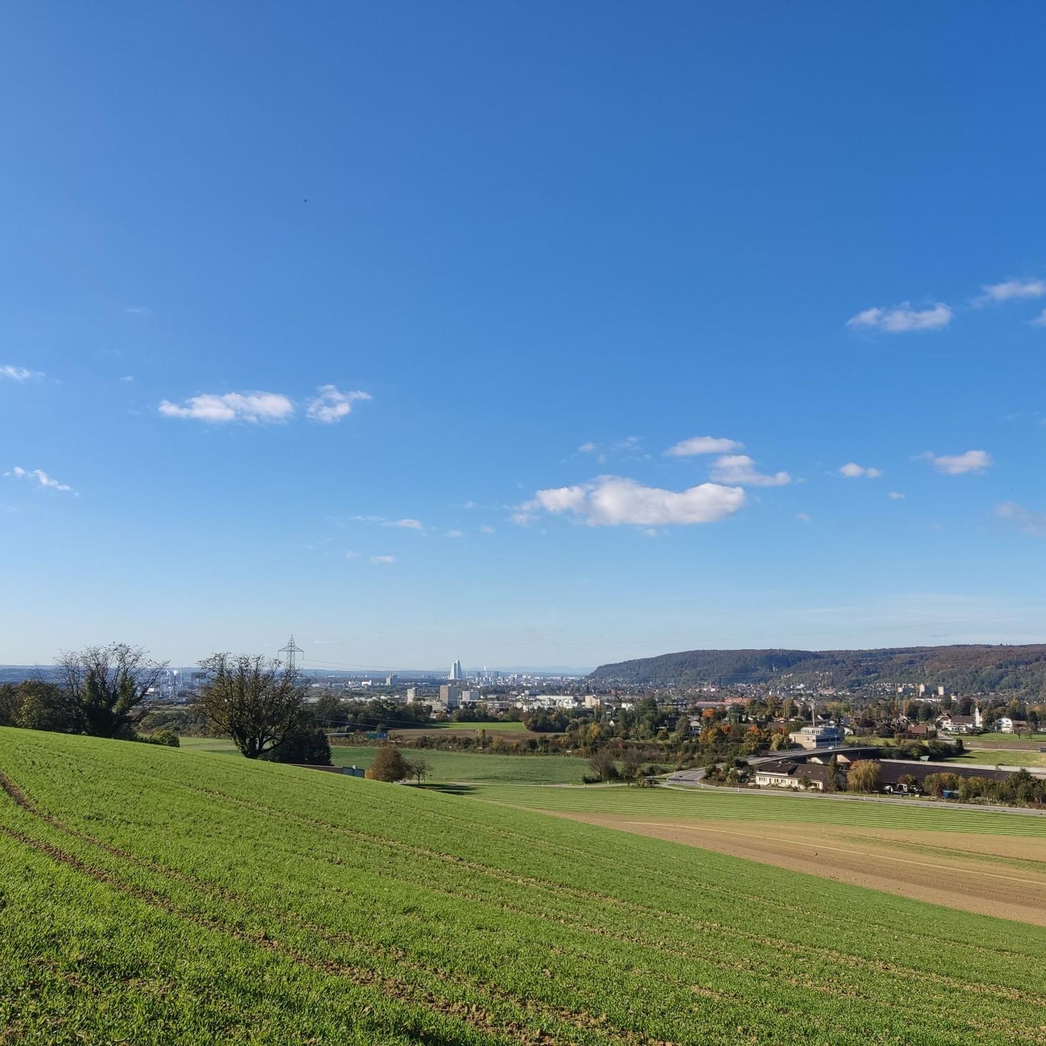
The elevated points around Giebenach offer diverse and magnificent views. From the Eigenturm Observation Tower, you can enjoy a great view towards Switzerland and the Rhine plain, extending to the Swiss Jura on clear days. The Schleifenberg Tower provides magnificent views of the Liestal valley and beyond. From the View from Gempenfluh, you'll find wonderful vistas from its limestone cliffs.
Are there any observation towers offering panoramic views near Giebenach?
Yes, there are two prominent observation towers. The Eigenturm Observation Tower offers views towards Switzerland and the Rhine plain, and in clear weather, even to the Swiss Jura. The Schleifenberg Tower, a 30-meter high structure, provides magnificent views of the Liestal valley. Note that the Schleifenberg Tower has a small entrance fee of CHF 0.50.
What outdoor activities are available near the elevated points around Giebenach?
The region around Giebenach offers a variety of outdoor activities. You can explore numerous routes for gravel biking, mountain biking, and running. For gravel biking, consider routes like the "Oberer Rheinweg Promenade – Rhine riverbank in Basel loop" or the "Old Rhine Bridge, Rheinfelden – Old Saltworks at Möhlin loop." Mountain biking enthusiasts can try the "Endless Trail Sissach" or routes around the "Alpaca and Peacock Ranch." For running, there are trails like the "Roman Theater – Augusta Raurica Roman Theatre loop." You can find more details on these activities in the Gravel biking around Giebenach, MTB Trails around Giebenach, and Running Trails around Giebenach guides.
What kind of hiking terrain can I expect in the Basel-Landschaft area around Giebenach?
The terrain varies from gentle ascents on local hills to more challenging paths on higher summits. For example, the ascent to Lyssbüchel from Giebenach involves an average gradient of 9.8% over 0.3 km. Higher peaks like Lauchflue feature an 80-meter high rock face, indicating more rugged terrain, while trails to Hinteri Egg are popular hiking destinations. Many routes will take you through forests and offer natural viewpoints.
Are there family-friendly mountain trails or viewpoints near Giebenach?
Yes, many of the elevated points and trails in the broader Basel-Landschaft region are suitable for families. While specific 'family-friendly' categories aren't always listed, the general appeal of observation towers like the Schleifenberg Tower, with its inn operating on Sundays and public holidays, makes for a pleasant family outing. Many hiking trails are accessible and offer moderate difficulty, allowing families to enjoy the scenic views together.
What historical or cultural landmarks can be found near the elevated points?
The region combines natural beauty with historical elements. Lauchflue, for instance, hosts a military observation facility from World War I, accessible via hiking trails. The Schleifenberg Tower itself has a history, with the current steel framework tower built in 1900 to replace an earlier wooden structure. While not a peak, the nearby Rheinfelden Railway Station is a historical landmark dating back to 1875, reflecting the region's industrial and spa history.
What do visitors enjoy most about the elevated points around Giebenach?
Visitors frequently praise the fantastic panoramic views. The Eigenturm Observation Tower is noted for its great views towards Switzerland and the Rhine plain. The Schleifenberg Tower is loved for its magnificent vistas of the Liestal valley. The View from Gempenfluh is described as a magical place with wonderful views from its limestone cliffs. The overall appeal lies in the accessible outdoor experiences and the rewarding scenery.
Are there any challenging mountain routes for experienced hikers near Giebenach?
For those seeking more challenging experiences, the higher summits in the Basel-Landschaft canton, such as Lauchflue (1041.8 meters) and Hinteri Egg (1169 meters), offer more strenuous hikes. Lauchflue features an 80-meter high rock face, suggesting more demanding terrain. These higher peaks provide significant elevation gain and panoramic rewards for experienced hikers.
How accessible are the mountain peaks and elevated points by public transport from Giebenach?
While Giebenach itself is a small municipality, the broader Basel-Landschaft region is well-connected. Public transport options are generally available to reach trailheads for popular hiking destinations. For example, the Rheinfelden Railway Station, a significant transport hub, connects the area. It's advisable to check local public transport schedules for specific routes to your chosen elevated point.
Can I find places to eat or drink near the mountain peaks and viewpoints?
Yes, some popular elevated points have amenities nearby. At the foot of the Schleifenberg Tower, there is an inn that operates on Sundays and public holidays. The View from Gempenfluh is also known to have a popular restaurant. For other areas, it's recommended to check for restaurants or cafes in nearby towns or villages before your hike.
Is winter hiking possible on the elevated points around Giebenach?
Winter hiking is generally possible in the Basel-Landschaft region, though conditions can vary. Lower elevation trails and well-maintained paths might be accessible, but higher peaks like Hinteri Egg and Lauchflue could present more challenging conditions with snow and ice. Always check local weather forecasts and trail conditions before embarking on a winter hike, and ensure you have appropriate gear.
Most popular routes around Giebenach
Most popular attractions around Giebenach

Get inspired with the komoot mobile app


Explore more
See even more amazing summits around Giebenach with these guides:
