Top 4 Natural Monuments around Ballydonegan
Best natural monuments around Ballydonegan include a variety of natural features, despite the listed highlights being located in the Sperrins region of Northern Ireland. The area offers diverse landscapes, from mountain summits to ancient woodlands and unique bog environments. Visitors can explore significant geological formations and enjoy expansive views across the countryside. These natural landmarks provide opportunities to understand local ecology and historical land use.
Best natural monuments around Ballydonegan
- The most popular natural monuments is Sawel Mountain Summit, a summit that stands at 678m and is the highest peak in the Sperrins range. From the summit, visitors can enjoy uninterrupted views across the countryside of County Londonderry and Tyrone.
- Another must-see spot is Banagher Forest, a large coniferous woodland. This forest features beautiful sitka spruce and peat covered slopes, and is recognized as one of the oldest ancient woodlands in Ireland.
- Visitors also love Blanket Bog and Turf Information Boards Near Crockmore Peak, which provides fascinating facts about blanket bog and its importance as a wildlife habitat. Information is also available on the historical use of blanket bog for fuel.
- Ballydonegan is known for summits, forests, and unique bog landscapes. The area offers a variety of natural monuments to see and explore, from high peaks with panoramic views to ancient woodlands and educational sites about local ecology.
- The natural monuments around Ballydonegan are appreciated by the komoot community, with 6 upvotes and 7 photos shared by visitors.
Last updated: October 3, 2026
Sawel Mountain Summit
Highlight • Natural Monument
Tip by

Blanket Bog and Turf Information Boards Near Crockmore Peak
Highlight • Natural Monument
There is also some information about how historically the Irish have used blanket bog as fuel to heat the home and cooking!
Tip by
Sign up now to discover places like this
Get recommendations on the best single tracks, peaks, & plenty of other exciting outdoor places.
Banagher Forest
Highlight • Natural Monument
Tip by
Mullaghclogha Summit
Highlight • Natural Monument
The hilltop produces views all over the incredible mountain range of the Sperrins including the nearby Mullaghdoo, Sawel & Dart peaks.
Tip by
View of the Sperrins Ridge
Highlight • Climb
Tip by
Start today with a free account
Your next adventure awaits.


Tips from the Community

Wear waterproof shoes/boots because even on the longest day of the year it's still wet underfoot
0
0

Mullaghclogha is a 635m high summit located in the beautiful Sperrins mountains of Northern Ireland. The hilltop produces views all over the incredible mountain range of the Sperrins including the nearby Mullaghdoo, Sawel & Dart peaks.
2
0
Banagher Forest is a large coniferous woodland featuring beautiful sitka spruce and peat covered slopes. It is one of the oldest ancient woodlands in the whole of Ireland and a real hidden gem.
2
0
There is an info board here near the peak of Crockmore that highlights some fascinating facts about blanket bog and the importance of it in terms of wildlife habitat. There is also some information about how historically the Irish have used blanket bog as fuel to heat the home and cooking!
2
0
Sawel Mountain stands at 678m and is the highest peak in the Sperrins range, and the 8th highest in Northern Ireland. The vegetation around the summit consists of montane heathland, featuring a medley of plant life including heather, bilberries and cowberries. From the summit, you can enjoy uninterrupted views across the countryside of County Londonderry and Tyrone. It's all downhill from this point on, so you can enjoy a scenic descent back to the carpark.
1
0
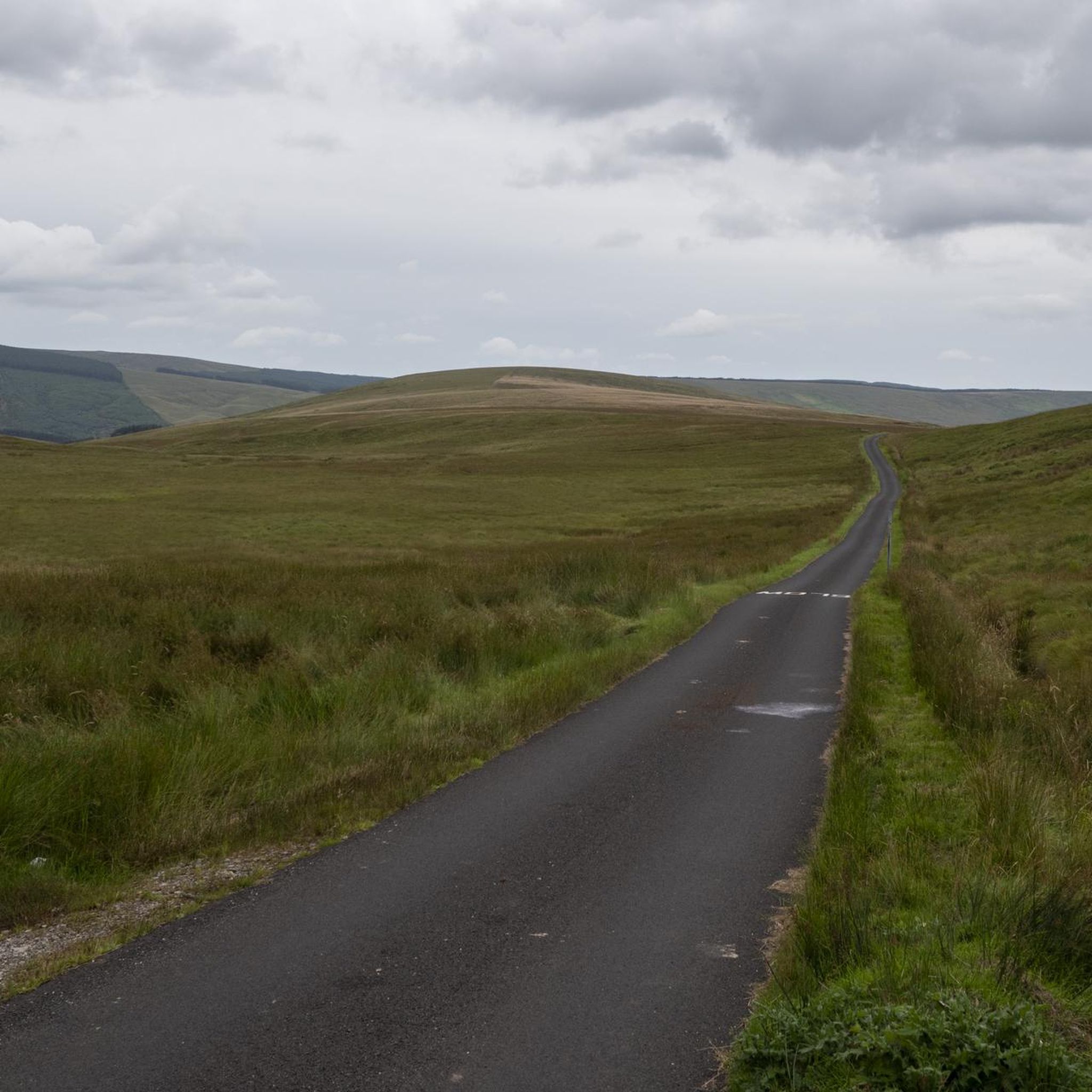
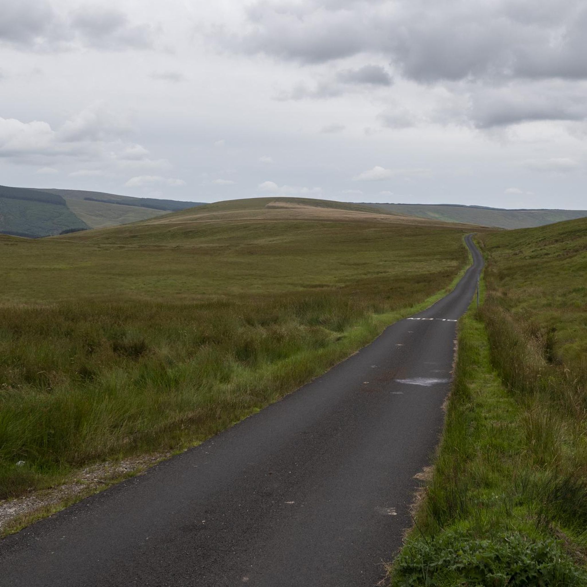
The beautiful winding road of Tamnagh takes you through the heart of Sperrins AONB. You can enjoy views toward the Sperrins ridge including mountains Sawel, Dart, and Mullaghdoo. It's a tough climb up in this section, but the views at the top will make it all worthwhile.
1
0
Sawel Mountain stands at 678m and is the highest peak in the Sperrins range, and the 8th highest in Northern Ireland. The vegetation around the summit consists of montane heathland, featuring a medley of plant life including heather, bilberries and cowberries. From the summit, you can enjoy uninterrupted views across the countryside of County Londonderry and Tyrone.
4
0
Frequently Asked Questions
What unique natural features can I explore around Ballydonegan?
Beyond the stunning Ballydonegan Beach and Bay, which features sand uniquely composed of crushed rock from the Allihies Copper Mines, the area also offers diverse landscapes. You can discover the highest peak in the Sperrins, Sawel Mountain Summit, offering expansive views, or explore the ancient woodlands of Banagher Forest. There are also fascinating blanket bogs, with information boards near Crockmore Peak explaining their ecological and historical significance.
Are there family-friendly natural monuments in the Ballydonegan area?
Yes, Banagher Forest is specifically noted as family-friendly, offering a large coniferous woodland to explore. Ballydonegan Beach itself is also suitable for family activities like walking and sunbathing, with public toilets and parking available.
What kind of views can I expect from the natural monuments?
The natural monuments around Ballydonegan offer breathtaking vistas. From Sawel Mountain Summit, you'll get uninterrupted views across County Londonderry and Tyrone. Similarly, Mullaghclogha Summit provides panoramic views of the Sperrins mountain range, including nearby Mullaghdoo and Dart peaks. Even the View of the Sperrins Ridge along Tamnagh road offers spectacular scenery.
What outdoor activities can I do near these natural monuments?
The region is excellent for various outdoor pursuits. You can enjoy cycling with routes like the 'Park & Barnes Gap loop' or 'Draperstown, Gortin and Plumbridge loop' as part of cycling around Ballydonegan. For hikers, there are easy trails such as the 'Learmount Forest Walk' or 'Eagle Rock loop' detailed in the easy hikes around Ballydonegan guide. Ballydonegan Beach also offers opportunities for fishing, diving, boating, and kayaking.
Are there easy walking trails near the natural monuments?
Yes, for those seeking easier walks, the easy hikes around Ballydonegan guide features trails like the 'Learmount Forest Walk via Learmount Castle' and a 'Hiking loop from Moneyneany', both rated as easy. The Ballydonegan Loop walk also offers a scenic coastal and hillside experience.
What is the best time to visit the natural monuments around Ballydonegan?
The region's natural beauty, particularly along the Wild Atlantic Way and Beara Peninsula, is enjoyable throughout the warmer months for outdoor activities. However, even on the longest day of the year, areas like Sawel Mountain Summit can be wet underfoot, so waterproof footwear is always recommended, regardless of the season.
Are dogs allowed on trails and at Ballydonegan Beach?
While Ballydonegan Beach is a popular spot, specific rules regarding dogs are not detailed. For trails, it's generally advisable to keep dogs on a lead, especially in areas with livestock like the wild mountain sheep found on the Ballydonegan Loop walk, and to check local signage for any restrictions.
What should I wear for hiking in the Ballydonegan natural monuments?
Given the potentially wet conditions, especially in mountainous areas like Sawel Mountain, wearing waterproof shoes or boots is highly recommended. Layered clothing is also advisable to adapt to changing weather conditions in the rugged terrain.
What makes Ballydonegan Beach unique?
Ballydonegan Beach is distinctive due to its sand, which is partly composed of crushed rock from the nearby Allihies Copper Mines, giving it a thicker grain. It's a pristine, sloped beach with clear blue waters, offering a sense of seclusion and tranquility at the southwestern tip of Ireland along the Wild Atlantic Way.
Are there any historical elements intertwined with the natural monuments?
Yes, the Ballydonegan Loop walk not only showcases natural beauty but also passes remnants of disused mines, blending the area's natural grandeur with its industrial past. Additionally, information boards near Crockmore Peak highlight how the Irish historically used blanket bogs as fuel, connecting the natural landscape to cultural history.
Where can I find parking for the natural monuments?
Public parking is available near Ballydonegan Beach. For other natural monuments and trailheads, parking availability can vary. It's best to check specific route details or local signage for designated parking areas, especially when accessing mountain summits or forest trails.
What is a blanket bog and why is it important?
A blanket bog is a type of peatland that covers vast areas, often found in upland, wet climates. Near Crockmore Peak, information boards explain its importance as a crucial wildlife habitat and its historical use by the Irish for fuel. These bogs are significant for biodiversity and carbon storage.
Most popular routes around Ballydonegan
Most popular attractions around Ballydonegan

Get inspired with the komoot mobile app


Explore more
Extend your search for the best caves by checking out these guides of the top ones around Ballydonegan:
