Top 14 Natural Monuments around Charlton Marshall
Best natural monuments around Charlton Marshall are situated within the Stour Valley, an area defined by its chalk hills and the River Stour. This Dorset village provides a landscape rich in natural features and historical elements. The region offers opportunities for outdoor exploration, with diverse terrain including river floodplains and elevated chalk hills. Ancient earthworks and historical sites are integrated into the natural scenery, providing varied points of interest.
Best natural monuments around Charlton Marshall
- The most popular natural monuments…
Last updated: July 1, 2026
Hambledon Hill Iron Age hill fort
Highlight • Viewpoint
Tip by

Badbury Rings Iron Age hillfort
Highlight • Viewpoint
Tip by

Sign up now to discover places like this
Get recommendations on the best single tracks, peaks, & plenty of other exciting outdoor places.
Sign up for free
Woolsbarrow Hillfort
Highlight • Historical Site
Tip by

Hod Hill
Highlight • Viewpoint
Tip by

Hambledon Hill Ramparts
Highlight • Historical Site
Tip by

Sign up for free to discover even more natural monuments around Charlton Marshall.
Sign up for free
Already have an account?
Start today with a free account
Your next adventure awaits.
Login or Signup
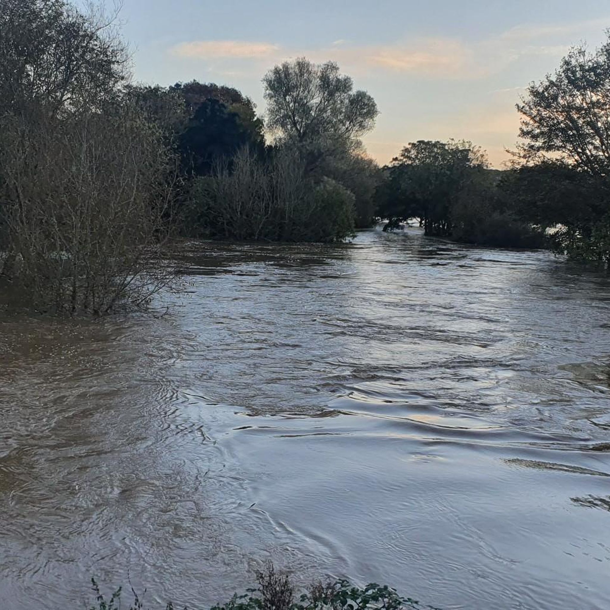

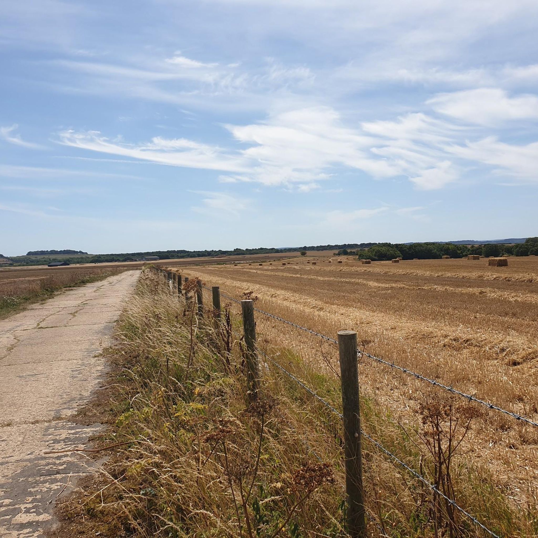
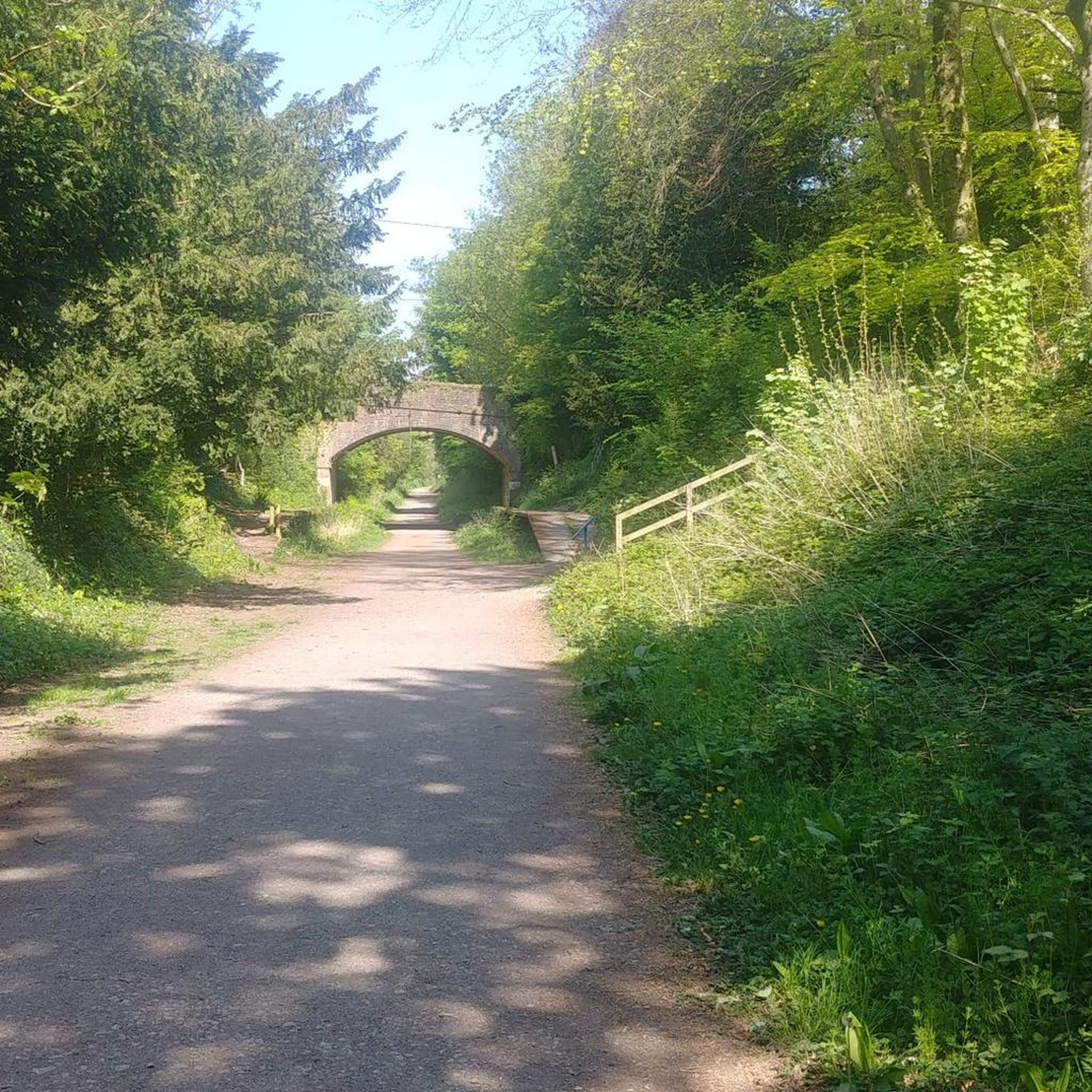

Tips from the Community

Pop into the cricketers pub before or after your hike it’s in the village (shroton)
0
0

Badbury Rings is an Iron Age hill fort and Scheduled Monument in east Dorset, England. In the Roman era a temple was located immediately west of the fort, and there was a Romano-British town known as Vindocladia ( Known today as Shapwick ) a short distance to the south-west. It sits over 300 feet above sea level, and there are two main phases of construction; the first covered 18 acres and was defended by multiple ditches, while the second was more than twice the size, covering 41 acres and defended by a single ditch and rampart. These ramparts make for great walking, but imagine the terror of trying to scale one whilst under attack from the occupants. Once you'd scaled one, there were more waiting for you. No wonder it was the last fort to be sacked by the Romans. Wonder just how many soldiers died trying to take it. Until 1983 Badbury Rings was privately owned as part of the Kingston Lacy estate, and the owners discouraged investigation of the site.[2] The site now belongs to the National Trust.[2] A survey of the hillfort by the RCHME was begun in 1993. The summit area was cleared of undergrowth by the National Trust in 1997 and the conifer plantation was thinned out. A survey in 1998, which recorded 28 potential hut sites within the ramparts, although some depressions are probably caused by uprooted trees. The first excavations, led by Martin Papworth, took place in 2004, when three evaluation trenches were dug. Almost all of the pottery found was dated to the Late Iron Age. The current evidence does not suggest that the hillfort was a principal settlement in the Early Iron Age. It seems likely that the hillfort became depopulated towards the end of the Late Iron Age, perhaps as the Vindocladia settlement near Shapwick developed.
1
0
The hill is now a National Nature Reserve (NNR) with common plants including milkwort, salad burnet, horseshoe vetch, squinancywort, pyramidal orchid and wild thyme. Rarer species include bastard toadflax, meadow saxifrage, early gentian and dwarf sedge. Butterflies include dingy skipper, grizzled skipper, chalkhill blue and Adonis blue. In August 2014, Hambledon Hill fort was acquired by the National Trust for £450,000. The money to buy the hill had come from a Natural England grant and a legacy gift left to benefit Dorset countryside. The hillfort is a Scheduled Monument, as is the adjacent Neolithic causewayed camp.
2
0
Hambledon Hill is a prehistoric hill fort in Dorset, England, in the Blackmore Vale five miles northwest of Blandford Forum. The hill itself is a chalk outcrop, on the southwestern corner of Cranborne Chase, separated from the Dorset Downs by the River Stour. It is owned by the National Trust. Hambledon Hill is the first in a series of Iron Age earthworks,] which continues with Hod Hill, Spetisbury Rings, Buzbury Rings, Badbury Rings and Dudsbury Camp. The Iron Age port at Hengistbury Head forms a final Iron Age monument in this small chain of sites. The ramparts are a lot longer than you think, amazing fun getting around them all though.
1
0

Frequently Asked Questions
What natural features define the landscape around Charlton Marshall?
The area around Charlton Marshall is characterized by the picturesque Stour Valley, featuring expansive chalk hills and the meandering River Stour. This diverse terrain includes river floodplains and elevated chalk hills, offering a rich natural environment for exploration.
Are there historical sites integrated with the natural monuments near Charlton Marshall?
Yes, many natural monuments in the area have significant historical elements. For example, Hambledon Hill Iron Age hill fort and Hod Hill are both ancient hillforts that are now integral parts of the natural landscape. The region also features ancient earthworks and burial mounds scattered across the chalk hills, providing insights into the area's long history.
What are some family-friendly natural monuments to visit around Charlton Marshall?
Several natural monuments are suitable for families. Hod Hill, with its deep ramparts, is a fun place for children to explore. Badbury Rings Iron Age hillfort also offers impressive earthworks that are enjoyable for all ages to walk around.
Can I bring my dog to the natural monuments and trails in the area?
Many of the natural monuments and trails around Charlton Marshall are dog-friendly, allowing you to enjoy the outdoors with your canine companion. However, it's always advisable to keep dogs on a lead, especially near livestock or sensitive wildlife areas, and to check specific site regulations before your visit.
What kind of outdoor activities can I do near Charlton Marshall's natural monuments?
The area offers a variety of outdoor activities. You can enjoy hiking, cycling, and horse riding along paths like the North Dorset Trailway, which provides scenic views over the Stour Valley. For more specific routes, you can explore hiking routes or cycling routes around Charlton Marshall.
Are there specific hiking trails to explore the natural monuments?
Yes, there are numerous hiking trails that lead to and around the natural monuments. The Stour Valley Way, a long-distance footpath, traces the River Stour and offers fantastic views, often passing through sites like Hod Hill. You can find various options, including easy loops like 'The "Oh No" Bridge – Spetisbury Station loop from Spetisbury', on the hiking guide for Charlton Marshall.
What is the best time of year to visit the natural monuments around Charlton Marshall?
Spring and summer are particularly rewarding for visiting the natural monuments. During these seasons, sites like Hod Hill are known for their abundant plant life, insects, and butterflies. The weather is generally milder, making it ideal for walking and enjoying the scenic views.
What are the typical terrain and difficulty levels of walks around these natural monuments?
The terrain varies from gentle river floodplains to the more challenging ascents of chalk hills. Walks can range from easy, flat paths along the River Stour and the North Dorset Trailway to intermediate and challenging routes involving significant elevation changes, such as those found when exploring the ramparts of hillforts like Hambledon Hill or
Where can I find impressive viewpoints of the Stour Valley?
For breathtaking views of the Stour Valley, visit Hambledon Hill Iron Age hill fort. It towers above the Blackmore Vale and the River Stour, offering expansive vistas into neighboring counties. Hod Hill also provides fantastic views, especially along the Stour Valley Way path that runs through it.
Are there any less-known or 'hidden' natural monuments worth exploring?
While not entirely hidden, Woolsbarrow Hillfort is a smaller, less-known hillfort located on a gravel knoll at the steepest point of Wareham Forest. It offers incredible views from the top and is easily accessed by gravel fire roads along the Sika Trail, providing a quieter experience away from the more popular sites.
What wildlife can I expect to see around the natural monuments?
The natural monuments and surrounding areas are rich in wildlife. Sites like Hambledon Hill are National Nature Reserves, home to rare plant species and butterflies such as dingy skipper, grizzled skipper, chalkhill blue, and Adonis blue. The River Stour and its floodplains also create rich habitats for various bird species and other aquatic wildlife.
Are there circular walks available to explore the natural monuments?
Yes, many of the trails around Charlton Marshall, including those connecting to natural monuments, can be enjoyed as circular walks. For instance, you can find several circular hiking routes around Spetisbury Station, which is part of the North Dorset Trailway, allowing you to experience the local countryside and natural features. Check the hiking guide for specific loop options.
Most popular routes around Charlton Marshall
Most popular attractions around Charlton Marshall

Get inspired with the komoot mobile app


Explore more
Extend your search for the best caves by checking out these guides of the top ones around Charlton Marshall:
