Top 5 Natural Monuments around Burleston
Best natural monuments around Burleston offer a diverse landscape characterized by rolling hills, ancient earthworks, and significant historical sites. The area features chalk ridges and prominent viewpoints that provide expansive views of the surrounding countryside. Visitors can explore a variety of natural features, from unique geological formations to historically important trees. These natural areas contribute to the region's rich heritage and provide opportunities for outdoor exploration.
Best natural monuments around Burleston
- The most popular natural monuments is The Dorsetshire Gap…
Last updated: July 1, 2026
The Dorsetshire Gap
Highlight • Viewpoint
Tip by

Tolpuddle Martyrs' Tree
Highlight • Viewpoint
httpww.ancienttreeforum.co.uk/ancient-trees/ancient-tree-sites-to-visit/south-west/tolpuddle-martyrs-tree-2/
Tip by

Sign up now to discover places like this
Get recommendations on the best single tracks, peaks, & plenty of other exciting outdoor places.
Sign up for free
Church Hill Enclosure
Highlight • Viewpoint
Tip by

Culpeppers Dish
Highlight • Natural Monument
Tip by

View from Bulbarrow Hill
Highlight • Viewpoint
Tip by

Sign up for free to discover even more natural monuments around Burleston.
Sign up for free
Already have an account?
Start today with a free account
Your next adventure awaits.
Login or Signup
Tips from the Community

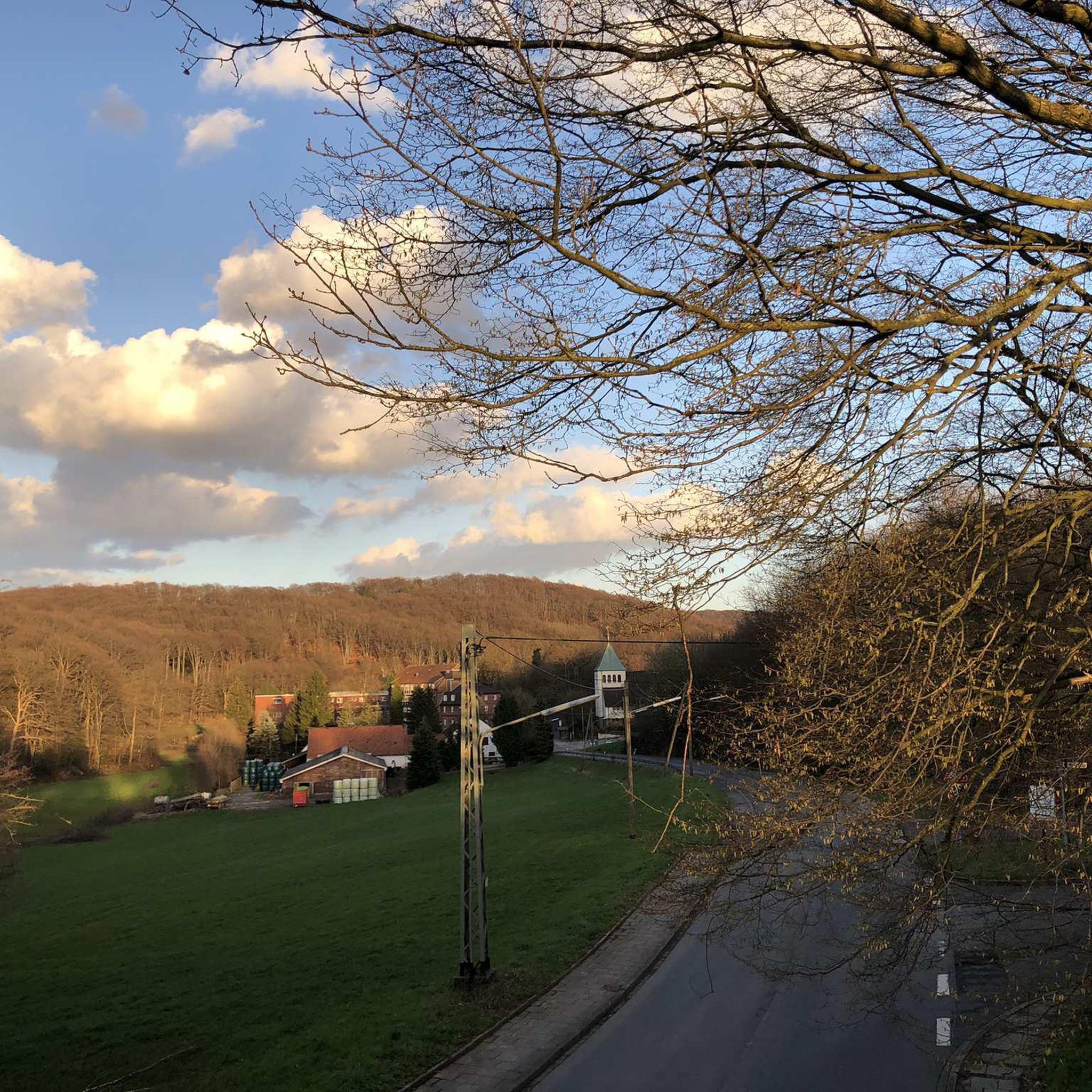
This was the part that I was longing for dry weather. The proper ridgeway from here on eastward is stunning but if less than knobby tyres you'll need to drop down.
0
0

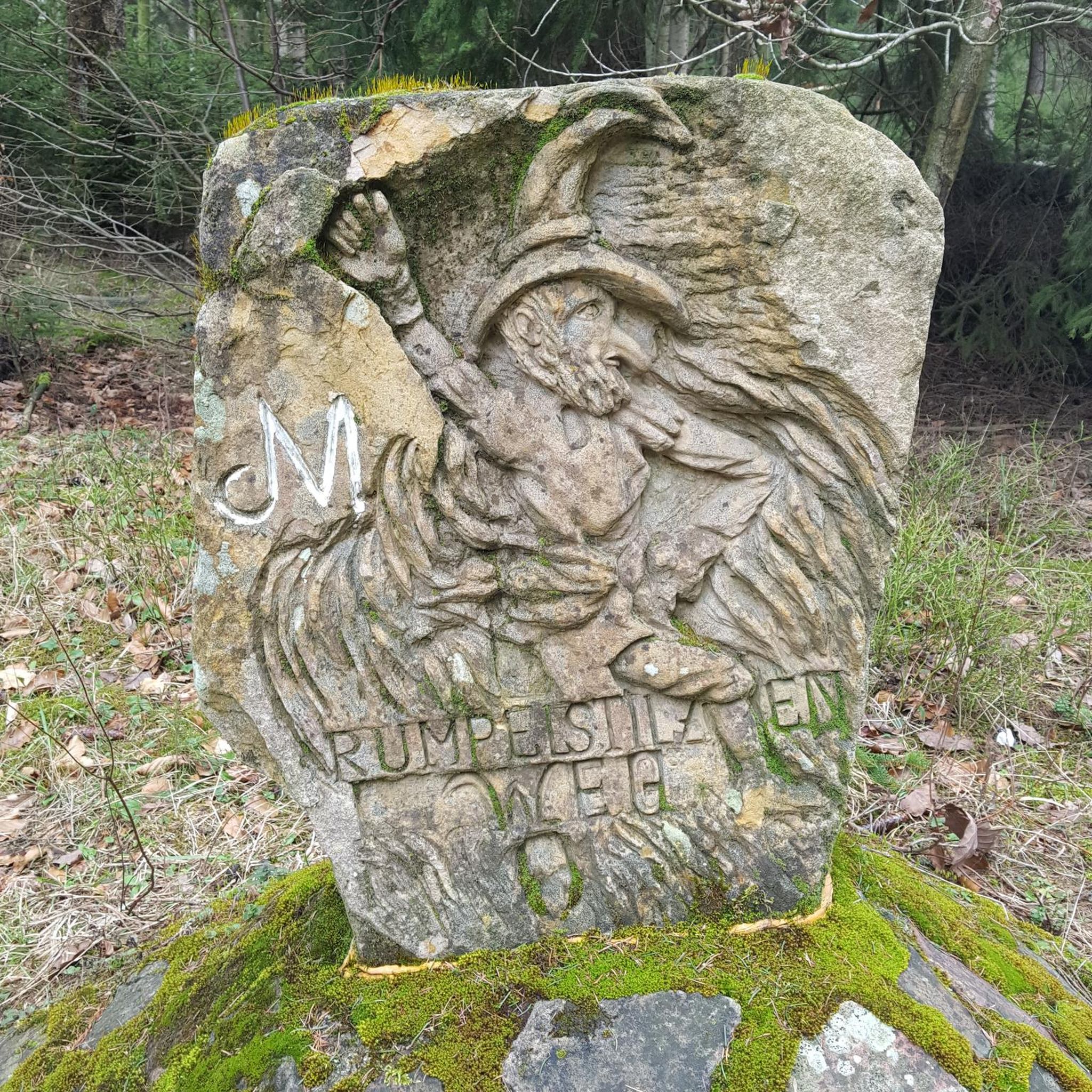
The ‘Dish’ is a ‘swallet’ (sinkhole) about 90m in diameter, 40m deep with steep sides. It was named after the herbalist Nicholas Culpepper (1616-1654). It is impossible to photograph it in entirety due to the size of the mature trees growing in it! Swallet holes, or dolines, are circular depressions formed when the underlying chalk is dissolved by the overlying acid sands and gravels which eventually collapse to form an inverted cone.
0
0

Once you're at this well-known junction, also known as the Dorsetshire Gap, it doesn't matter which direction you head because the landscape in this area is breathtaking.
0
0
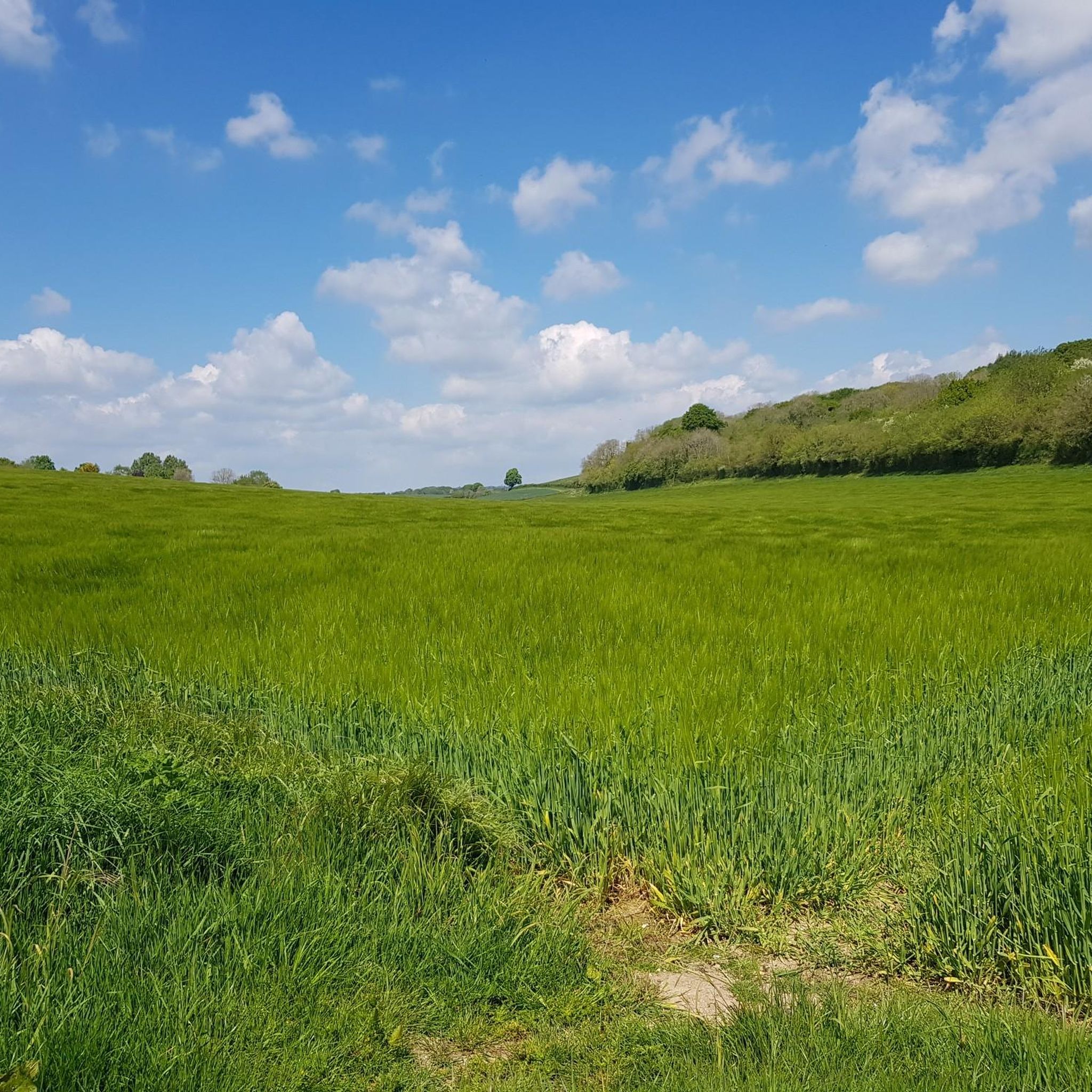
Right next to the Wessex Ridgeway, near the Dorset Gap, you can see this square earthwork, approximately 25 meters in length on each side and 1 meter above the flat ground.
0
0

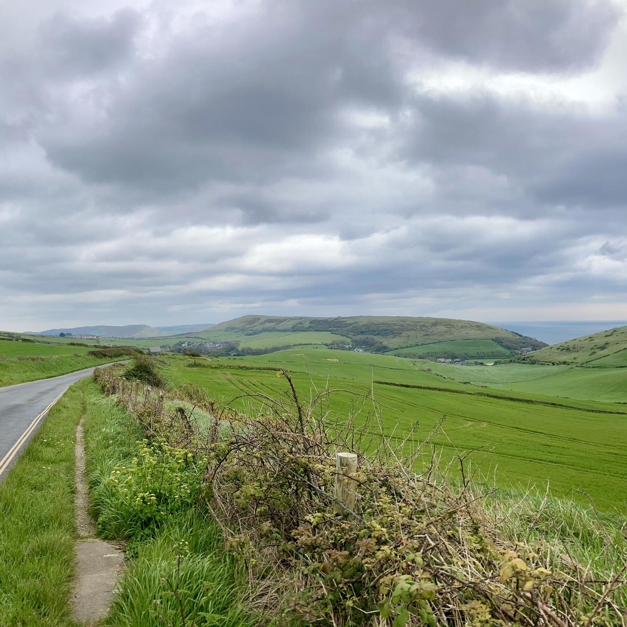
Bulbarrow Hill is situated within the Dorset Area of Outstanding Natural Beauty, which is known for its scenic landscapes and diverse ecosystems. The hill is part of the Dorset Downs, a range of chalk hills that extend across the county. It is one of the highest points in Dorset, with an elevation of around 274 meters (899 feet) above sea level. Due to its height, it provides panoramic views of the surrounding countryside, including the rolling hills, farmland, and picturesque villages that make up the Dorset landscape.
0
0

The Dorsetshire Gap is a very atmospheric location, very easy to imagine Medieval traders passing through it. Be aware that the bridleways too and from it are tough, the tracks marked on the maps may not exist on the ground, cycling can be hard an slow, Still worth a visit.
0
0

A square earthwork, about 25m each side, a raised bank about 1m above the flat surrounding ground, immediately adjacent to the Wessex Ridgeway. The reason for the earthworks has not yet been determined.
0
0

The Dorsetshire Gap is, or Dorset Gap as it's known for short, is a dip in the Dorset Downs chalk ridge between Nordon Hill and Nettleton Tout, close to the settlement of Higher Melcombe. A number of different bridleways run through and over this pass, including the ancient Wessex Ridgeway. It's thought that this point was part of a network of trading routes that date back as far as the Middle Ages.
1
0
Frequently Asked Questions
What are some of the most popular natural monuments to visit around Burleston?
Visitors frequently enjoy The Dorsetshire Gap, a significant dip in the Dorset Downs chalk ridge known for its atmospheric location and ancient trading routes. Another highly regarded spot is the Tolpuddle Martyrs' Tree, a historical site where you can rest under a tree of great historical importance. Church Hill Enclosure, an ancient square earthwork right next to the Wessex Ridgeway, is also a popular viewpoint.
Are there natural monuments around Burleston that are suitable for families?
Yes, the Tolpuddle Martyrs' Tree is categorized as family-friendly, offering a historical site where families can relax and learn. While other sites might require more active exploration, they are generally accessible for families who enjoy walking and nature.
What kind of natural features can I expect to see in the Burleston area?
The Burleston area is characterized by diverse natural features including chalk ridges, prominent viewpoints offering expansive views, and unique geological formations like sinkholes. You can explore ancient earthworks, significant historical trees, and areas with rolling hills and diverse ecosystems, such as those found around Bulbarrow Hill.
Are there historical sites among the natural monuments in Burleston?
Absolutely. Many natural monuments in Burleston also hold significant historical value. Examples include Tolpuddle Martyrs' Tree, a site of historical importance, and Church Hill Enclosure, an ancient square earthwork. The Dorsetshire Gap is also part of an ancient network of trading routes, adding to its historical context.
What outdoor activities can I do near the natural monuments around Burleston?
The area around Burleston offers various outdoor activities. You can enjoy hiking on trails like the 'Tolpuddle Martyrs' Tree – Bluebell Woodland Path loop' or 'Athelhampton Gardens – Bluebell Woodland Path loop'. For cycling enthusiasts, there are options for gravel biking, such as the 'Ridgeway Hill – View of Maiden Castle loop', and road cycling routes like 'View of Durdle Door – Creech Hill 20% Incline loop'. You can find more details on these activities in the hiking, gravel biking, and road cycling guides for Burleston.
Are there specific hiking trails near these natural monuments?
Yes, several hiking trails are available. For instance, near the Tolpuddle Martyrs' Tree, you can find the 'Tolpuddle Martyrs' Tree – Bluebell Woodland Path loop'. The Wessex Ridgeway also passes directly by Church Hill Enclosure and through The Dorsetshire Gap, offering challenging bridleways and scenic paths. Explore more hiking options in the hiking guide for Burleston.
What do visitors enjoy most about the natural monuments around Burleston?
Visitors particularly appreciate the breathtaking landscapes, the atmospheric locations, and the sense of history associated with these sites. Many enjoy the panoramic views from viewpoints like Bulbarrow Hill and the opportunity to explore ancient routes and unique geological formations like Culpeppers Dish. The combination of natural beauty and historical significance is a major draw.
What is the best time of year to visit the natural monuments in Burleston?
While specific seasonal tips for Burleston's natural monuments are not provided, generally, spring and autumn offer pleasant weather for outdoor exploration, with milder temperatures and beautiful foliage. Summer can be warm, ideal for longer days, while winter might offer a different, more serene experience, though some paths could be challenging.
Are there any unique geological formations to see?
Yes, the area features unique geological formations such as sinkholes. A notable example is Culpeppers Dish, a large 'swallet' or sinkhole about 90 meters in diameter and 40 meters deep, formed by the dissolution of underlying chalk.
What are the terrain and difficulty levels for exploring these natural monuments?
The terrain can vary. Sites like The Dorsetshire Gap are known for challenging bridleways, while others might offer more moderate paths. Viewpoints like Bulbarrow Hill involve ascents to reach panoramic views. It's advisable to check specific route details for difficulty before heading out, especially if planning longer hikes or bike rides.
Can I find viewpoints with expansive views among Burleston's natural monuments?
Yes, Burleston is known for its viewpoints. Bulbarrow Hill, one of the highest points in Dorset, offers panoramic views of the surrounding countryside, including rolling hills, farmland, and picturesque villages. The Dorsetshire Gap and Church Hill Enclosure also provide notable vantage points.
Most popular attractions around Burleston

Get inspired with the komoot mobile app


Explore more
Extend your search for the best caves by checking out these guides of the top ones around Burleston:
