Top 10 Natural Monuments around Rowlstone
Best natural monuments around Rowlstone are found in a region characterized by rolling hills, river valleys, and ancient forests. This area of Herefordshire offers a diverse landscape with over 2,100 miles of footpaths, providing access to numerous natural features. Visitors can explore undulating meadows, ancient orchards, and steep hills, showcasing the unique geological and ecological characteristics of the region. The natural monuments around Rowlstone offer opportunities for hiking and wildlife observation.
Best natural monuments around Rowlstone
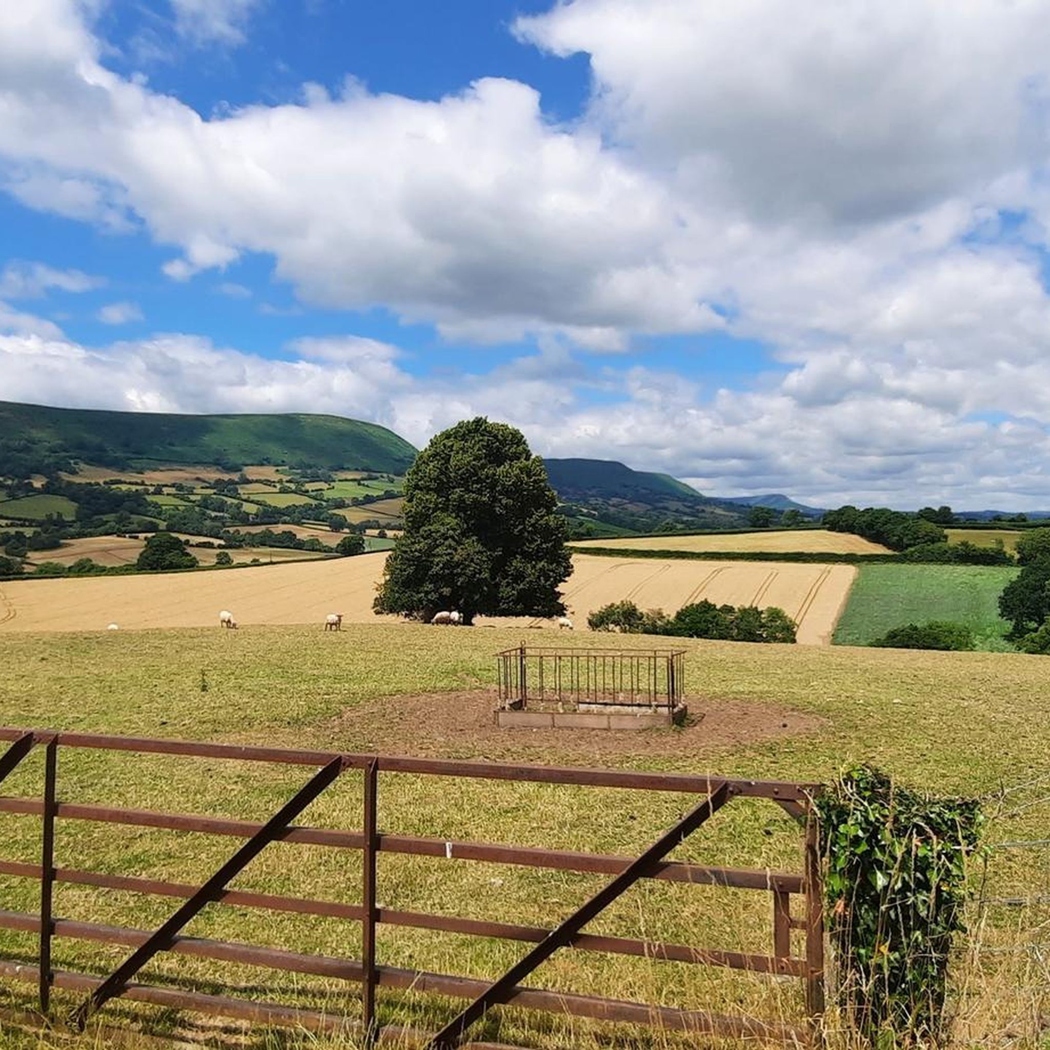
- The most popular natural monuments is Skirrid Fawr summit, a climb that offers a stiff ascent from any direction. It is known for its rewarding views and historical significance, including ruins of an Iron Age hill fort.
- Another must-see spot is Offa's Dyke Path, a historical trail that roughly follows the border between England and Wales. This earthwork is protected as a scheduled monument and offers views of both countries.
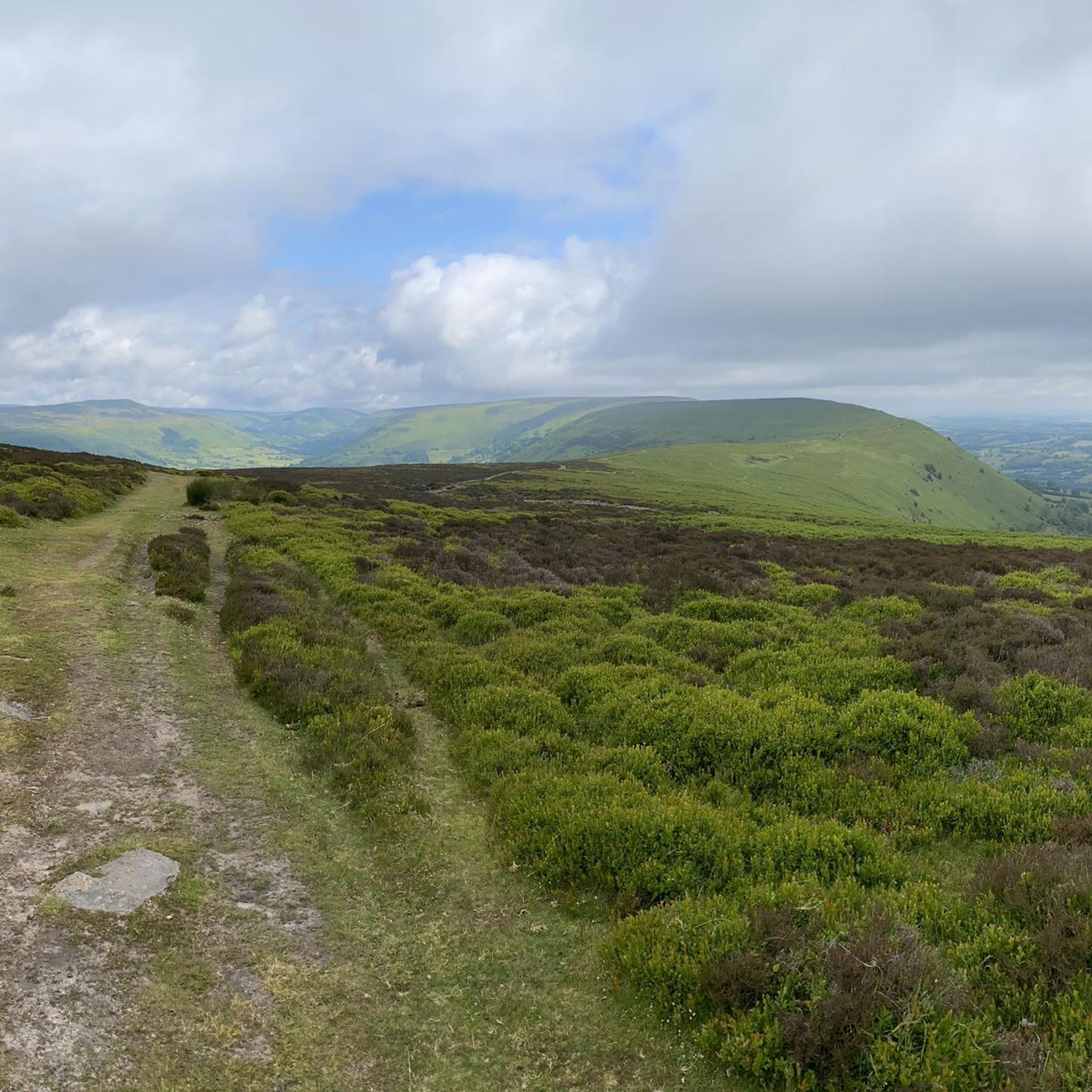
- Visitors also love View of Hatterrall Hill and the Black Mountains, a viewpoint that sits on the Wales-England border. Its summit provides extensive views across the Black Mountains.
- Rowlstone is known for its summits, historical trails, and scenic viewpoints. The area offers a variety of natural monuments to see and explore, from ancient earthworks to elevated peaks.
- The natural monuments around Rowlstone are appreciated by the komoot community, with more than 150 upvotes and 60 photos shared.
Last updated: July 1, 2026
Skirrid Fawr summit
Highlight • Climb
Tip by

Offa's Dyke Path
Highlight • Trail
The earthwork, which was up to 65 feet (20 m) wide (including its flanking ditch) and 8 feet (2.4 m) high, traversed low ground, hills and rivers. Today it is protected as a scheduled monument. Some of its route is followed by the Offa's Dyke Path; a 176-mile (283 km) long-distance footpath that runs between Liverpool Bay in the north and the Severn Estuary in the south.
Although the Dyke has conventionally been dated to the Early Middle Ages of Anglo-Saxon England, research in recent decades – using techniques such as radioactive carbon dating – has challenged the conventional historiography and theories about the earthwork, and show that it was started in the early fifth century, during the sub-Roman period.
Tip by

Sign up now to discover places like this
Get recommendations on the best single tracks, peaks, & plenty of other exciting outdoor places.
Sign up for free
Hatterrall Hill Summit
Highlight • Viewpoint
Tip by

View of Hatterrall Hill and the Black Mountains
Highlight • Viewpoint
Tip by
Bryn Arw Summit
Highlight • Viewpoint
Tip by
Sign up for free to discover even more natural monuments around Rowlstone.
Sign up for free
Already have an account?
Start today with a free account
Your next adventure awaits.
Login or Signup
Tips from the Community

Easy accent if climbing from the side of the national trust carpark. For a more challenging climb, accend from the opposite side.
0
0

This summit with beautiful views over the Black Mountains on the border between Wales and England, felt like the real start of the Beacon Way.
0
0
Although you can barely walk about 2.5m above the surrounding land on this 12-century-old dike, you still get a nice picture of the area. For those walking the Beacons Way, this is a nice run-up to the hills of Brecon Beacon National Park.
1
0

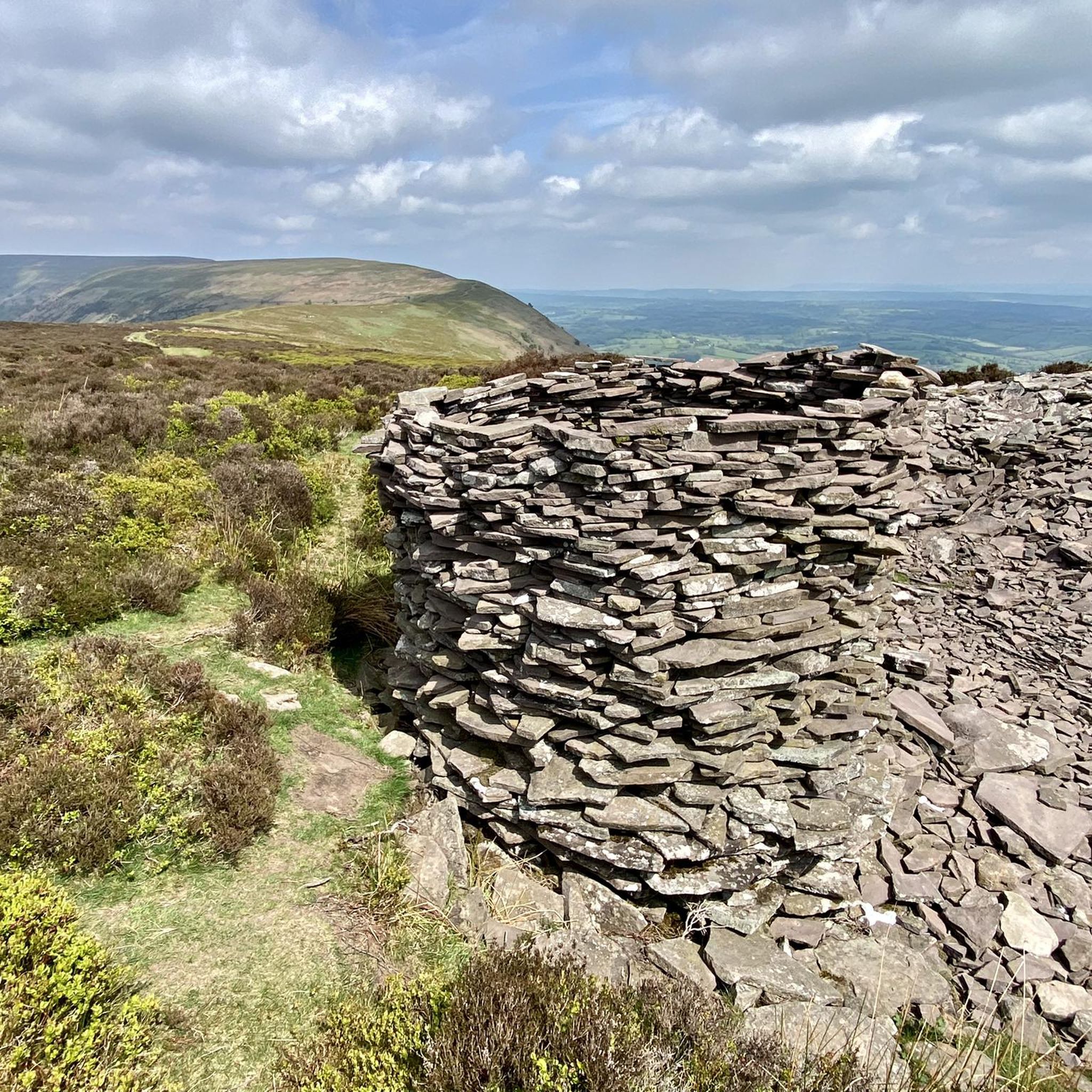
Great views of Sugar Loaf and Skirrid from this little top in the south of the Black Mountains. Good cairn at 384m.
0
0
The trig point on Hatterrall Hill stands at 531m. The summit is part of the Hatterrall Ridge which runs north south from Llanvihangel Crucorney up to Hay Bluff. The Offa’s Dyke National Trail follows the ridge path.
0
0
Skirrid (Ysgyryd) Fawr is an outlier of the Bannau Brycheiniog (Brecon Beacons), set within the Black Mountains on the eastern edge of the National Park. The obvious route from the car park makes a great run, heading to the south up the beautiful main ridge. You can drop off the steep side to loop around the mountain, or turn round and speed back down the ridge. The summit at the northern end of the ridge has a trig point standing at 1,595 feet (486 m). The intriguing remnants of both an Iron Age hill fort and mediæval chapel are quite obvious here. Skirrid is also the first (or last) peak on the Beacons Way and the Abergavenny Three Peaks loop.
0
0

Fairly easy trail, can get a little muddy if it has been raining heavily.
2
0
Really cool trail, nice to look to one side and see England, and to the other and see Wales. Interesting that England is mostly farmland, whilst Wales is nice and wild.
2
0
Frequently Asked Questions
What kind of natural features can I explore around Rowlstone?
The region around Rowlstone, within Herefordshire, offers a diverse landscape of rolling hills, river valleys, and ancient forests. You can explore undulating meadows, ancient orchards, and steep hills. Notable features include the River Wye, which is great for paddling and wildlife spotting, and ancient woodlands like Haugh Woods, known for its butterflies. The area also boasts numerous Local Geological Sites, showcasing 500 million years of geological history. For more information on the region's geology, you can visit earthheritagetrust.org.
Are there any natural monuments with historical significance near Rowlstone?
Yes, the area is rich in history. You can explore Offa's Dyke Path, a large linear earthwork that roughly follows the border between England and Wales, traditionally believed to have been built by King Offa in the 8th century. Another historically significant site is Skirrid Fawr summit, which features the ruins of an Iron Age hill fort and a medieval chapel dedicated to St. Michael at its peak.
What are some good options for hiking and walking near Rowlstone's natural monuments?
Herefordshire offers over 2,100 miles of footpaths. For easy hikes, you can find routes like the Garway Hill Common Enclosure loop or the St Margaret's Church loop. If you're looking for more challenging trails, consider the ascent to Skirrid Fawr summit, which provides a stiff climb. You can find more hiking options on the Easy hikes around Rowlstone guide.
Where can I find panoramic views of the landscape around Rowlstone?
For breathtaking panoramic views, consider visiting View of Hatterrall Hill and the Black Mountains, which sits on the Wales-England border and offers extensive vistas across the Black Mountains. Another excellent spot is Garway Hill, a short drive from Hereford, known for its 360-degree views and wild mountain ponies.
Are there family-friendly natural attractions or activities near Rowlstone?
Yes, there are several options for families. Rowlstone Court, near the village, offers wildlife walks through woodlands and wildflower meadows, along with pond dipping opportunities. Haugh Woods is also a great choice, with waymarked butterfly trails suitable for various ages, where you can spot over 600 species of moths and butterflies. For more ideas on family-friendly activities, you can check visitherefordshire.co.uk.
What kind of wildlife can I expect to see in the natural areas around Rowlstone?
The natural areas around Rowlstone are home to diverse wildlife. In places like Haugh Woods, you can observe over 600 species of moths and butterflies, including rare ones like the Pearl-bordered Fritillary. Wild mountain ponies are often seen grazing on Garway Hill and Hergest Ridge. Along the River Wye, you can spot various local wildlife and wildflowers.
What are some other outdoor activities besides hiking available near Rowlstone's natural monuments?
Beyond hiking, the region offers opportunities for cycling and mountain biking. You can find various routes, such as the 'The Skirrid Inn – Llanthony Priory Ruins loop' for touring bicycles, or the 'Crug Mawr Summit – The Beacons Way from Crug Mawr loop' for mountain biking. Explore more options on the Cycling around Rowlstone guide or the MTB Trails around Rowlstone guide.
Can I visit any natural monuments that are part of the Black Mountains range?
Yes, several natural monuments near Rowlstone are part of the Black Mountains. Hatterrall Hill Summit, also known as Mynydd Y Gader, is a rounded high point in the Black Mountains, offering excellent views. Another peak in the Black Mountains is Bryn Arw Summit, which provides great views of Sugar Loaf and Skirrid.
What do visitors particularly enjoy about the natural monuments around Rowlstone?
Visitors frequently praise the rewarding views from summits like Skirrid Fawr summit, even after a stiff climb. The historical significance of sites like Offa's Dyke Path, where you can see England on one side and Wales on the other, is also highly appreciated. The overall scenic beauty and the opportunity to explore ancient earthworks and elevated peaks are often highlighted.
Are there any unique geological sites to explore in Herefordshire near Rowlstone?
Herefordshire is home to 140 designated Local Geological Sites (LGS), which showcase a wide array of rock types and landscape features spanning 500 million years of the region's geological history. These sites offer fascinating insights into the area's past. You can learn more about these sites and the geology of Herefordshire at earthheritagetrust.org.
Is there a specific natural monument known for its legends or ancient history?
King Arthur's Cave, located in the Great Doward nature reserve, is a limestone cave surrounded by trees and birds. It's a place to explore and is linked to local legends and ancient history, offering a unique blend of natural wonder and folklore.
Most popular attractions around Rowlstone

Get inspired with the komoot mobile app


Explore more
Extend your search for the best caves by checking out these guides of the top ones around Rowlstone:
