Top 12 Natural Monuments around Genovés
Best natural monuments around Genovés include diverse natural features shaped by the Albaida River. The region offers a blend of riverine landscapes, historical aqueducts, and significant geological formations. These areas provide opportunities for exploring local flora and fauna, alongside cultural heritage. Visitors can discover a range of natural attractions, from ancient caves to serene riverside groves.
Best natural monuments around Genovés
- The most popular natural monuments is Cova Negra, a cave that is a Municipal Natural Area located near…
Last updated: July 1, 2026
Cova Negra
Highlight • Cave
Translated by Google •
Tip by

Les Salines
Highlight • Natural Monument
It is a protected space …
Translated by Google •
Tip by

Sign up now to discover places like this
Get recommendations on the best single tracks, peaks, & plenty of other exciting outdoor places.
Sign up for free
Bitter Spring
Highlight • Rest Area
Translated by Google •
Tip by

Quarry of Quatre Camins (Llosar dels Francs)
Highlight • Historical Site
Translated by Google •
Tip by
Cart tracks
Highlight • Historical Site
Translated by Google •
Tip by
Sign up for free to discover even more natural monuments around Genovés.
Sign up for free
Already have an account?
Start today with a free account
Your next adventure awaits.
Login or Signup

Other adventures around Genovés

Tips from the Community

The Quatre Camins quarry, also known as the Llosar dels Francs, is an archaeological site 500m away. of the Roman villa, known as Villa Cornelius, located in Partida dels Francs, in the municipality of Énova. These are quarries that, according to some scholars, could be considered the most important of the Roman period in the Iberian Peninsula. The commercialization of the marble extracted from these quarries was the main source of wealth for the Iunii family, of the Galeria Tribe, owners of the plantation and the Cornelius town. The transport of the stone was done through the carriladas, that is to say, grooves in the rocks that channeled the wheels of the carts, which can still be seen on the road that leads from Énova to Barxeta (https:// www.komoot.com/es-es/highlight/6171388). The planter has preserved marks that show that the marble was extracted forming rectangular blocks. These large blocks were transported in bullock carts to the town, where the work of stonemasons or stonemasons continued, who would fragment them and shape them into specific pieces, according to the order that needed to be served. This marble was used to make tombstones, monuments of different sizes and even slabs to pave the Roman theater in Zaragoza or the plinths of the Romanesque door of the Cathedral of Valencia. In the same municipality of Énova there are several Roman tombstones that provide the Greek names of slaves such as Lleones, Vibi Èutic (Vibius Euthycus) and Himeto (Himetós), which are built with materials from these quarries.
1
0

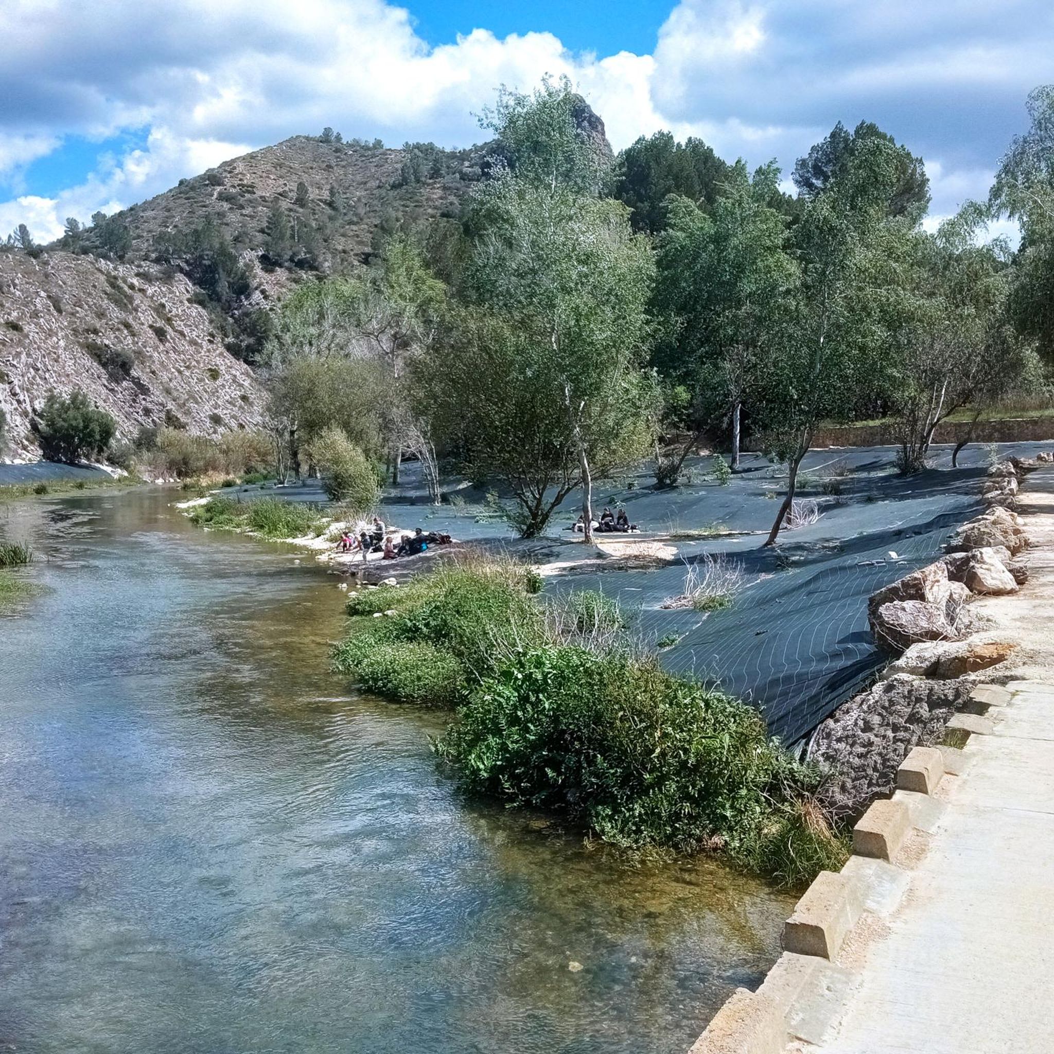
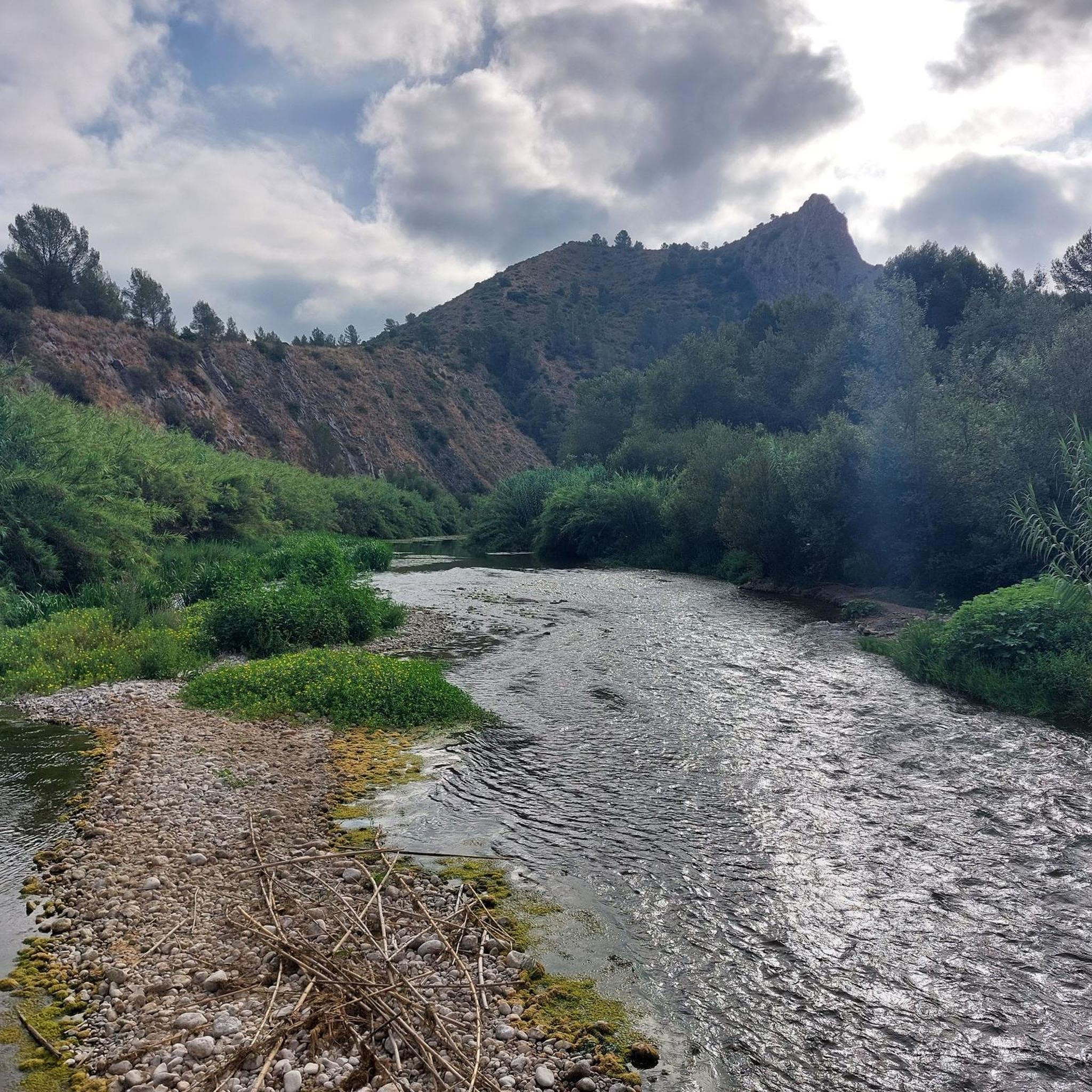
The La Cova Negra municipal natural area is located in the municipality of Játiva, province of Valencia. In the Cova Negra is the Middle Paleolithic site in which remains of Homo Neanderthal have appeared. This natural area is located in the narrow valley formed by the Albaida River, as it crosses the reliefs of the Sierra Grossa, at the exit of the so-called Estret de les Aigües. In the widest meander formed by the Albaida River, at the height of Pico del Paller, you can see the Cova Negra, named for the blackish appearance of its walls.
2
1
The so-called "lanes" are the marks of a road perpendicular to the Via Heraklea (Path of Hercules) during the Bronze Age, which the Romans later renamed Via Augusta. This road, in the Iberian era, connected the interior of the peninsula with the sea, directly connecting the ancient city of Saiti (Roman Saetabis, today Xàtiva) with the city of Dianium (now Dénia). These lanes are very marked in the rock due to the continuous traffic of the carts. The distance between the axles of the wheels confirms that they date from the Iberian era. In Énova, this road was used for centuries due to the Roman exploitation of the quarry for the production of marble (which is located a few meters away), as well as being used to connect the Roman Villa with the rest of the world
1
0
Les Salines de Manuel is a municipal natural site of 28 hectares, of great landscape value, which is located next to the town of Manuel. It is a protected space of high ecological and historical value, as it was an old salt mine of the army, now turned into a large green lung. The exploitation was possible thanks to the composition of the so-called Serra de les Salines, formed by a rich combination of mineral salts from sandy rocks, limestone, reddish clay and other materials, giving rise to what we know as "common salt" . Due to the presence of all these minerals, the vegetation has the particular characteristic of being different from that of other places, either because of the adaptation to the terrain or because of the abundant foliage. This is why the site of Les Salines de Manuel houses two very different types of vegetation. On the one hand, the white pine forest with its traditional companions (lentiscle, coscolla, margallon, rosemary, rudder, buckthorn, juniper, etc.); and for another, the saline outcrops, where a Valencian endemic known as Limonium mansanetianum grows in honor of José Mansanet, the great botanist of Simat de la Valldigna. Next to this grass, capable of filtering salt water and expelling the salt through the leaves, grow several tamarinds, trees more typical of coastal areas. The circular route of the area, known as the Ruta de la Sal, is divided into 3 paths, which make up a total of approximately 4 kilometers, all signposted. On the way, you will meet a hill called the "wall of bullets", used in the past for shooting exercises by the army, which had an Engineers and Sappers School here between 1906 and 1996. There is also the Paret del Moro , which are the remains of a Muslim fortification from the 10th century; the remains of an old machine gun nest and trenches; buildings of the old salt exploitation; or the birth of salt water that supplied the salt pans, as well as the recreational area. Les Salines de Manuel, full of vegetation and pines adapted to salt, was exploited since ancient times by the Romans, being handed over a little over a century ago to the army, who finally handed it over to the population to be recovered for the use and enjoyment of visitors as a natural site. The military use lasted until 1996, although it was not until 2006 when the Manuel City Council acquired the land to be used for sports, a rural tourism center and the adaptation of the area as a municipal natural site and the adaptation of various hiking routes.
1
0

La Cova Negra is a cavity that is located in a gorge called the Strait of Waters. Its black color is mainly due to the smoke from the bonfires made by its former inhabitants, the Neanderthals who occupied it for a few months of the year. An important amount of flint tools and other archaeological remains have been found here.
3
0
Marks left on the stones by the carts that loaded the marble from the Roman quarry.
2
0
La Cova Negra is an important archaeological site, located in the widest meander of the Albaida river. It was home to Neanderthal man in the Paleolithic. The cave gets its name from the dark color of the walls. Human remains and paintings have been found inside.
2
0
La Cova Negra is an important archaeological site, located in the widest meander of the Albaida river. It was home to Neanderthal man in the Paleolithic. The cave gets its name from the dark color of the walls. Human remains and paintings have been found inside. It is a space of fundamental importance for understanding the culture of the Mosterian and the reality of the Neanderthals. The Almodí Museum exhibits an exact reproduction of a parietal bone from the period, discovered in the cave.
2
0
Frequently Asked Questions
What are the most popular natural monuments to visit around Genovés?
Among the most appreciated natural monuments, visitors frequently highlight Cova Negra, a significant cave and archaeological site. Other popular spots include Quintana Fountain, known for its pleasant and quiet environment, and Bitter Spring, a recreational area with unique water features and trails.
Are there any historical or archaeological natural sites near Genovés?
Yes, the region is rich in historical natural sites. Cova Negra is a crucial Middle Paleolithic archaeological site where Neanderthal remains and ancient paintings have been discovered. Additionally, Quarry of Quatre Camins (Llosar dels Francs) is an archaeological site with Roman-era quarries, considered among the most important in the Iberian Peninsula.
What kind of natural features can I expect to see around Genovés?
The area around Genovés is characterized by diverse natural features shaped by the Albaida River. You can explore riverine landscapes, such as the tranquil Xopà d'Alboi with its poplar groves, and significant geological formations like the dark-walled Cova Negra. The landscape also integrates historical structures like Les Arcadetes de l'Albaida, an ancient aqueduct set amidst natural beauty.
Are there family-friendly trails or natural monuments suitable for children?
Many natural monuments around Genovés offer family-friendly experiences. Les Salines, a municipal natural site, features a circular route known as the Ruta de la Sal, divided into three signposted paths totaling approximately 4 kilometers, making it suitable for families. The recreational areas around Bitter Spring and Quintana Fountain also offer pleasant environments for walks.
What outdoor activities can I do near the natural monuments in Genovés?
The natural monuments are excellent starting points for various outdoor activities. You can find numerous hiking trails, such as the 'Cova Negra – Albaida River Crossing loop' or 'The Genovese Trails (PR-CV 193)'. For cycling enthusiasts, there are routes like the 'Molí Guarner – Cova Negra loop'. Running trails, including 'La Creu loop', are also available. You can find more details on these activities in the hiking, cycling, and running guides around Genovés.
Are there any natural monuments with unique geological features?
Yes, Cova Negra is notable for its blackish walls, which give it its name and are largely due to smoke from ancient bonfires. The site of Les Salines also presents unique geological characteristics, with its soil composed of mineral salts from sandy rocks, limestone, and reddish clay, influencing its distinct vegetation.
What is the best time of year to visit the natural monuments around Genovés?
While specific seasonal advice isn't provided, the region's natural beauty, particularly along the Albaida River and its groves, suggests that spring and autumn would offer pleasant temperatures for hiking and exploring. These seasons typically provide comfortable weather for outdoor activities before the heat of summer or the cooler, potentially wetter, winter months.
Can I find any hidden gems or less-known natural spots in the area?
Beyond the well-known sites, exploring the Albaida River's course can reveal tranquil spots like the Xopà d'Alboi, a charming grove of poplars that offers a serene recreational area. The historical aqueduct of Les Arcadetes de l'Albaida, while a blend of history and nature, is also a picturesque spot that might be less crowded than other attractions, offering a unique blend of cultural heritage within a natural setting.
Are there any natural monuments that are also significant for local flora and fauna?
The Albaida River and its surroundings, including the Xopà d'Alboi, are excellent for observing local riverine flora and fauna. Les Salines is particularly significant for its unique vegetation adapted to saline conditions, including the Valencian endemic Limonium mansanetianum, and tamarinds, which are more typical of coastal areas.
What are the typical hiking conditions and difficulty levels around Genovés' natural monuments?
Hiking trails around Genovés vary in difficulty. For example, the 'Cova Negra – Albaida River Crossing loop' is rated as easy, while 'The Genovese Trails (PR-CV 193)' is considered difficult. Many routes, like the 'Genovés Train Station – Albaida River Crossing loop', fall into the moderate category. It's advisable to check specific route details for elevation and terrain before embarking on a hike. You can find more information in the hiking guide around Genovés.
Is there parking available at or near the natural monuments?
While specific parking details for each monument are not extensively listed, many natural areas and trailheads typically offer some form of parking. For instance, Cova Negra, being a Municipal Natural Area, likely has designated parking. For other sites, access is often via hiking trails, suggesting parking might be available at nearby villages or designated trail entry points.
Most popular routes around Genovés
Most popular attractions around Genovés

Get inspired with the komoot mobile app


Explore more
Extend your search for the best caves by checking out these guides of the top ones around Genovés:
