Top 8 Natural Monuments around Sotillo Del Rincón
Best natural monuments around Sotillo Del Rincón are found in a region known for its diverse natural spaces, situated at the foot of the Sierra Cebollera. This area features mountain ranges, river ecosystems, and high-altitude lagoons. The landscape includes forests of oaks, pines, and beeches, providing varied environments for exploration. It is recognized for its ecological value, being part of the Natura 2000 network.
Best natural monuments around Sotillo Del Rincón
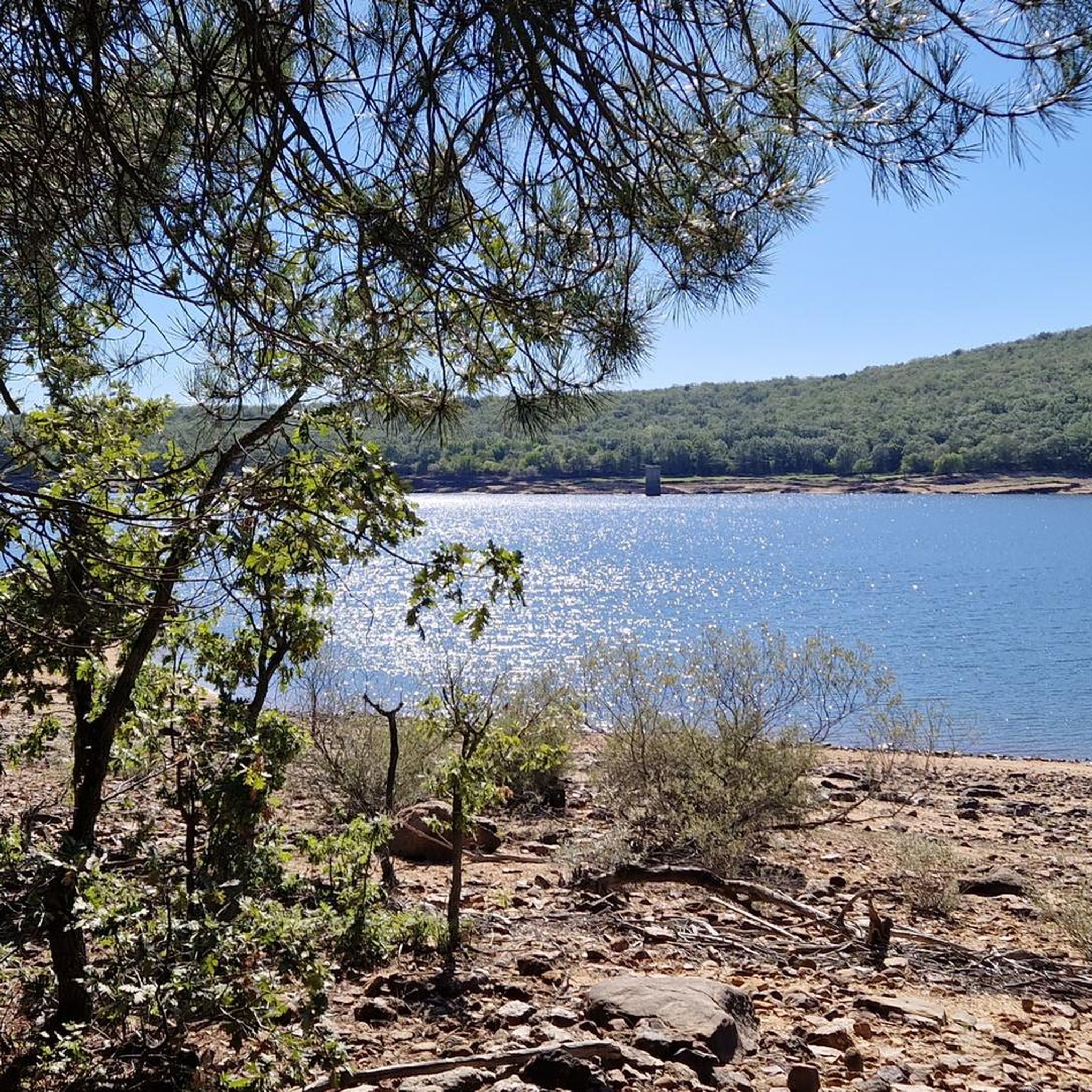
- The most popular natural monuments is Cebollera Lagoon, a lake that is the eastern extension of the Picos de Urbión. This high-altitude lagoon is accessible via a track and offers views of the surrounding area.
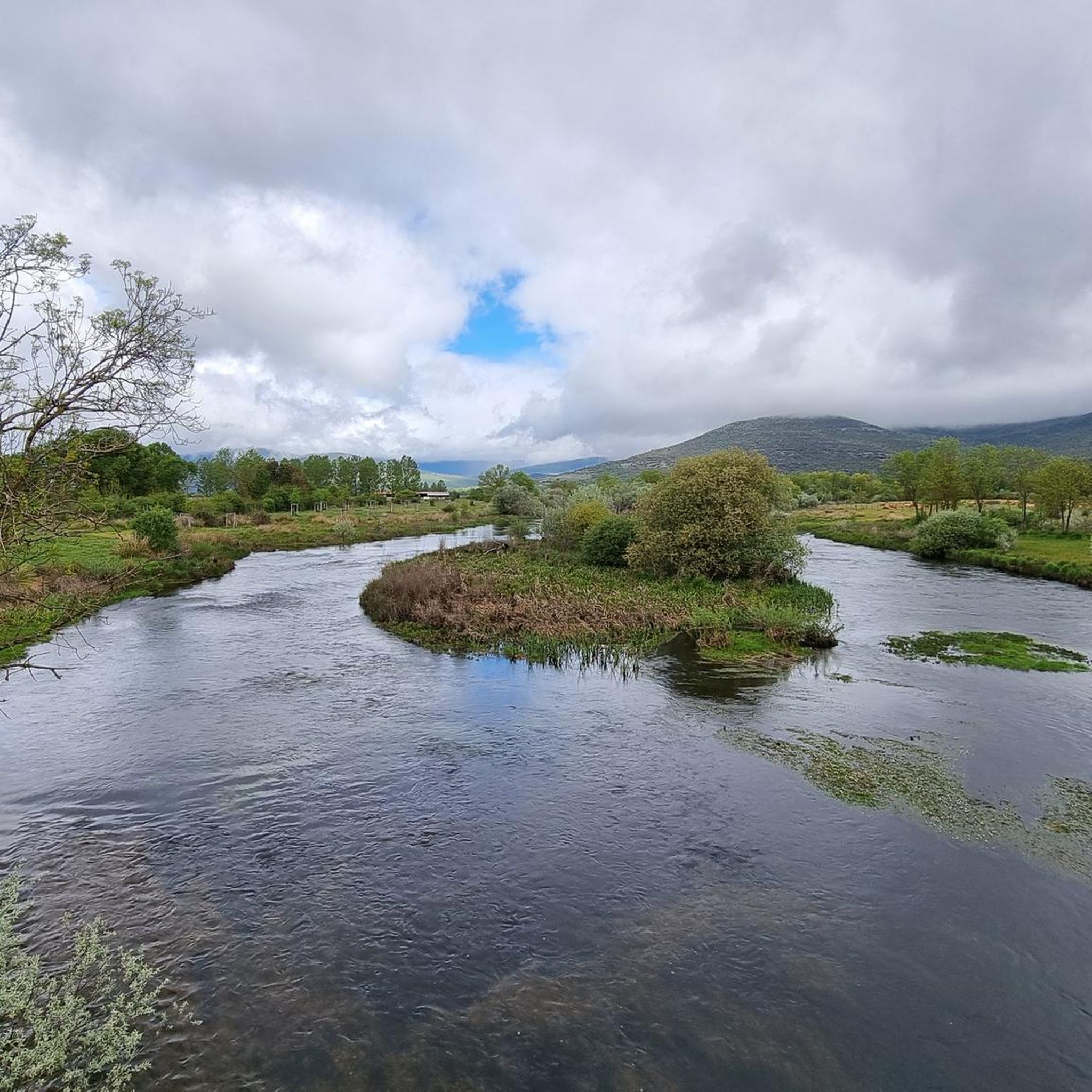
- Another must-see spot is Waterfalls, a waterfall. Visitors can expect a path through natural landscapes, with water features prominent.
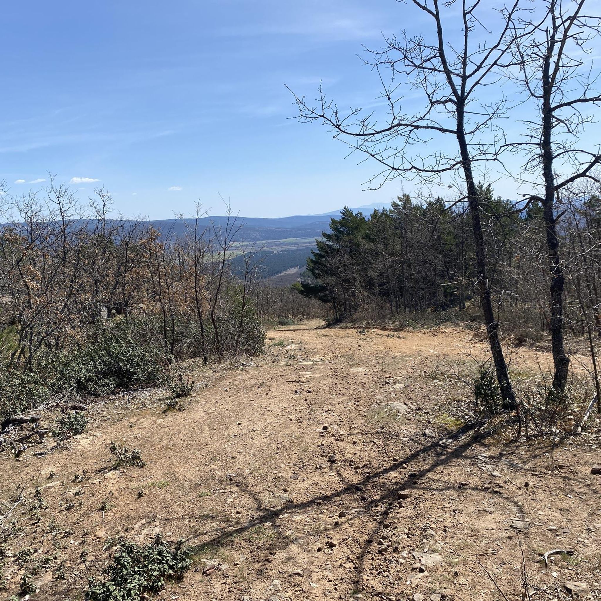
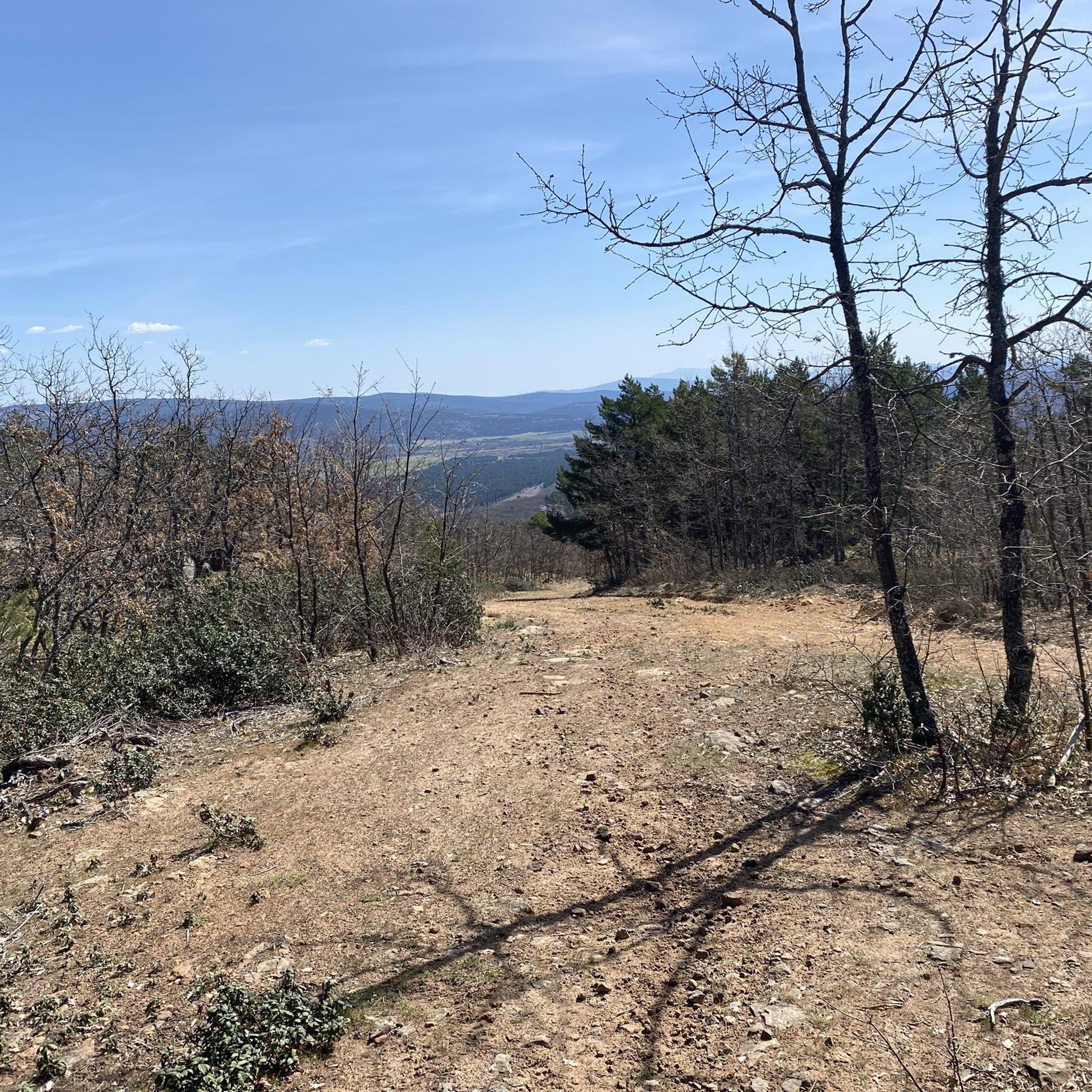
- Visitors also love Castillo de Vinuesa (2,083 m), a summit. This location provides views of the Sierra de la Demanda, Picos de Urbión, and Sierra Cebollera.
- Sotillo Del Rincón is known for lakes, waterfalls, and summits. The region offers a variety of natural monuments to see and explore, from high-altitude lagoons to mountain peaks.
- The natural monuments around Sotillo Del Rincón are appreciated by the komoot community, with 9 upvotes and 37 photos shared across the highlights.
Last updated: July 1, 2026
Waterfalls
Highlight • Waterfall
Translated by Google •
Tip by

Cebollera Lagoon
Highlight • Lake
Translated by Google •
Tip by

Sign up now to discover places like this
Get recommendations on the best single tracks, peaks, & plenty of other exciting outdoor places.
Sign up for free
Castillo de Vinuesa (2,083 m)
Highlight • Summit
Translated by Google •
Tip by

Peña del Duro Rock Inscriptions
Highlight • Historical Site
Translated by Google •
Tip by

Laguna Verde
Highlight • Lake
Translated by Google •
Tip by
Sign up for free to discover even more natural monuments around Sotillo Del Rincón.
Sign up for free
Already have an account?
Start today with a free account
Your next adventure awaits.
Login or Signup

Tips from the Community

One of the most beautiful and unknown places in Soria, recommended at any time of year, although access is more difficult with snow or mud
0
0

Spring or during the thaw is the best time to visit.
0
0
An unforgettable path through greenery, through nature, through the landscape, through the water.
0
0

Access via a track in very good condition with a considerable slope. From the base of the track to the lagoon is 1.1 km.
0
0

The first part of the climb is easy to follow, there are meadows and clearings between the trees, then cliffs and stony areas appear and it is better to walk around the mountain to the north and reach the eastern slope of the Castillo de Vinuesa. The summit is an elongated north/south massif and the main summit is some rocky turrets on the south side, you have to follow the paths that skirt the east face and at the end the cliff appears where the summit sculpture is. The views are magnificent and the top has a particular sensation of vertigo surrounded by small precipices. The Sierra de la Demanda, the Picos de Urbión, the Sierra Cebollera, the Cameros and the rest of the massifs of the central sector of the Iberian System stand out on all sides. The trail descends from the summit in the same place, skirts the mountain again and enters the main path that runs along the mountain range, between the port of Santa Inés and the summit of Pico Cebollera.
0
1
A few minutes before reaching the hidden pit where the Green Lagoon is hidden, red marks appear painted on the tree trunks and facilitate access. The stone milestones go down the slope of the hillside to a small flooded canyon and shortly after the beautiful fluvial niche of the lagoon appears surrounded by pine trees precious in size and shape. The place is a natural wonder on the mountainside, with hardly any environmental alterations except for the tracks of the mountaineers who reached the shore. The trail leaves the lagoon from the same place, goes up about fifty meters up the mountainside, leaves the path to the left and continues straight through the bottom of the trough. The ascent is hard due to the inclination of the slope, there is not a good layout of the path and although there are stone milestones it is difficult to run and orient yourself at the same time.
0
1

The Sierra Cebollera Glacier Lagoon is the eastern extension of the Picos de Urbión.
5
0
The rock of the hard is a rock where the pastor and civil guard Julián Pérez y Pérez made between the years 1878 and 1921, a large number of inscriptions, both drawings and long paragraphs, his signature and, in the center and as the rest even more evident , a five-peseta coin from the time of Alfonso XII.
4
0
Frequently Asked Questions
What are some unique natural monuments to explore in Sotillo del Rincón?
Beyond the well-known spots, you can discover the fascinating Peña del Duro Rock Inscriptions, a historical site where a pastor made numerous drawings and paragraphs. Another hidden gem is the Laguna Verde, a beautiful fluvial niche surrounded by ancient pine trees, though its ascent can be challenging.
Are there any natural swimming spots in Sotillo del Rincón?
Yes, the Razón River forms a popular natural swimming pool right through the center of Sotillo del Rincón. It's a well-maintained area with basic services and grassy spots, making it ideal for a refreshing dip during the summer months.
What kind of wildlife can I expect to see in the natural monuments around Sotillo del Rincón?
The region, particularly within the Sierra Cebollera and Sierra de Carcaña, is part of a Natura 2000 network and a Special Protection Area for Birds. This ecological significance means you can observe diverse flora and fauna, including various bird species and other wildlife native to mountain and forest ecosystems.
What is the best time of year to visit the natural monuments in Sotillo del Rincón?
The best time to visit depends on your interests. Spring and early summer are ideal for seeing the Waterfalls at their fullest during the thaw. Summer is perfect for enjoying the natural swimming pool in the Razón River. The Cebollera Lagoon is recommended at any time of year, though access can be more difficult with snow or mud in winter.
Are there family-friendly natural monuments or activities in the area?
The natural swimming pool in the Razón River is a great family-friendly option, offering a refreshing escape with grassy areas for relaxation. Many of the forest trails within the Sierra Cebollera also provide opportunities for refreshing walks suitable for families, depending on their difficulty.
What are the options for hiking and walking near the natural monuments?
The region offers numerous opportunities for hiking. You can explore routes like the Sendero Ibérico Soriano. For more specific trails, you can find various running routes around Sotillo del Rincón, including options like the 'Thorny broom, Ra Bridge, Hermitage of Lomos de Orios – circular' which is a moderate 7.4 km trail. Discover more options on the Running Trails around Sotillo Del Rincón guide.
Can I go cycling or mountain biking near these natural monuments?
Yes, the area provides excellent terrain for both cycling and mountain biking. For road cycling, you can find routes like the 'Valdeavellano de Tera – Sotillo del Rincón loop from Valdeavellano de Tera,' a moderate 16.8 km ride. Mountain bikers can explore trails such as the 'Sotillo del Rincón loop from Valdeavellano de Tera,' a challenging 48.7 km route. Check out the Cycling around Sotillo Del Rincón guide and the MTB Trails around Sotillo Del Rincón guide for more details.
What is the significance of Pozo Airón?
Pozo Airón is a dark and deep karstic formation that serves as the source of the Airón River. It has been declared a Natural Monument by the Junta de Castilla y León due to its significant geological and natural value, and it is considered one of the deepest submerged caves in Spain.
What kind of views can I expect from the summits in the area?
From summits like Castillo de Vinuesa (2,083 m), you can expect magnificent panoramic views. These include sweeping vistas of the Sierra de la Demanda, the Picos de Urbión, and the Sierra Cebollera, along with other massifs of the central Iberian System.
Are there any high-altitude lagoons to visit?
Absolutely. The Cebollera Lagoon, located at an altitude of 1,850 meters, is a notable high-altitude lagoon. It's the source of the Razoncillo river and is surrounded by four smaller lagoons, creating a picturesque and ecologically rich environment accessible via a forest track.
What makes the Sierra Cebollera and Sierra de Carcaña important natural areas?
These mountain ranges are considered some of the most valuable green spaces in the province of Soria. They are characterized by extensive forests of oaks, pines, and beeches, and are part of the Natura 2000 network, including a Site of Community Importance and a Special Protection Area for Birds, highlighting their ecological significance and biodiversity.
Most popular routes around Sotillo Del Rincón
Most popular attractions around Sotillo Del Rincón

Get inspired with the komoot mobile app


Explore more
Extend your search for the best caves by checking out these guides of the top ones around Sotillo Del Rincón:
