Top 8 Mountain Passes around Zucaina
Best mountain passes around Zucaina are found within the mountainous terrain of the Alto Mijares region in Castellón, Spain. This area, part of the Sierra de Espadán Natural Park, features numerous challenging hiking trails and elevated viewpoints. These routes involve significant elevation changes, dramatic landscapes, and panoramic vistas. The natural features here offer experiences akin to navigating traditional mountain passes for trekkers and nature enthusiasts.
Best mountain passes around Zucaina
- The most popular mountain passes is Coll de les Coronetes…
Last updated: July 1, 2026
Puerto El Remolcador
Highlight • Mountain Pass
Showing Translation
Tip by

Loma El Zorro Pass (West Side)
Highlight • Mountain Pass
Translated by Google •
Tip by

Sign up now to discover places like this
Get recommendations on the best single tracks, peaks, & plenty of other exciting outdoor places.
Sign up for free
Coll de les Coronetes
Highlight • Mountain Pass
Translated by Google •
Tip by
Los Molares Pass
Highlight • Mountain Pass
Translated by Google •
Tip by
Alto Mas de la Costa
Highlight (Segment) • Mountain Pass
Translated by Google •
Tip by

Sign up for free to discover even more mountain passes around Zucaina.
Sign up for free
Already have an account?
Start today with a free account
Your next adventure awaits.
Login or Signup
Tips from the Community

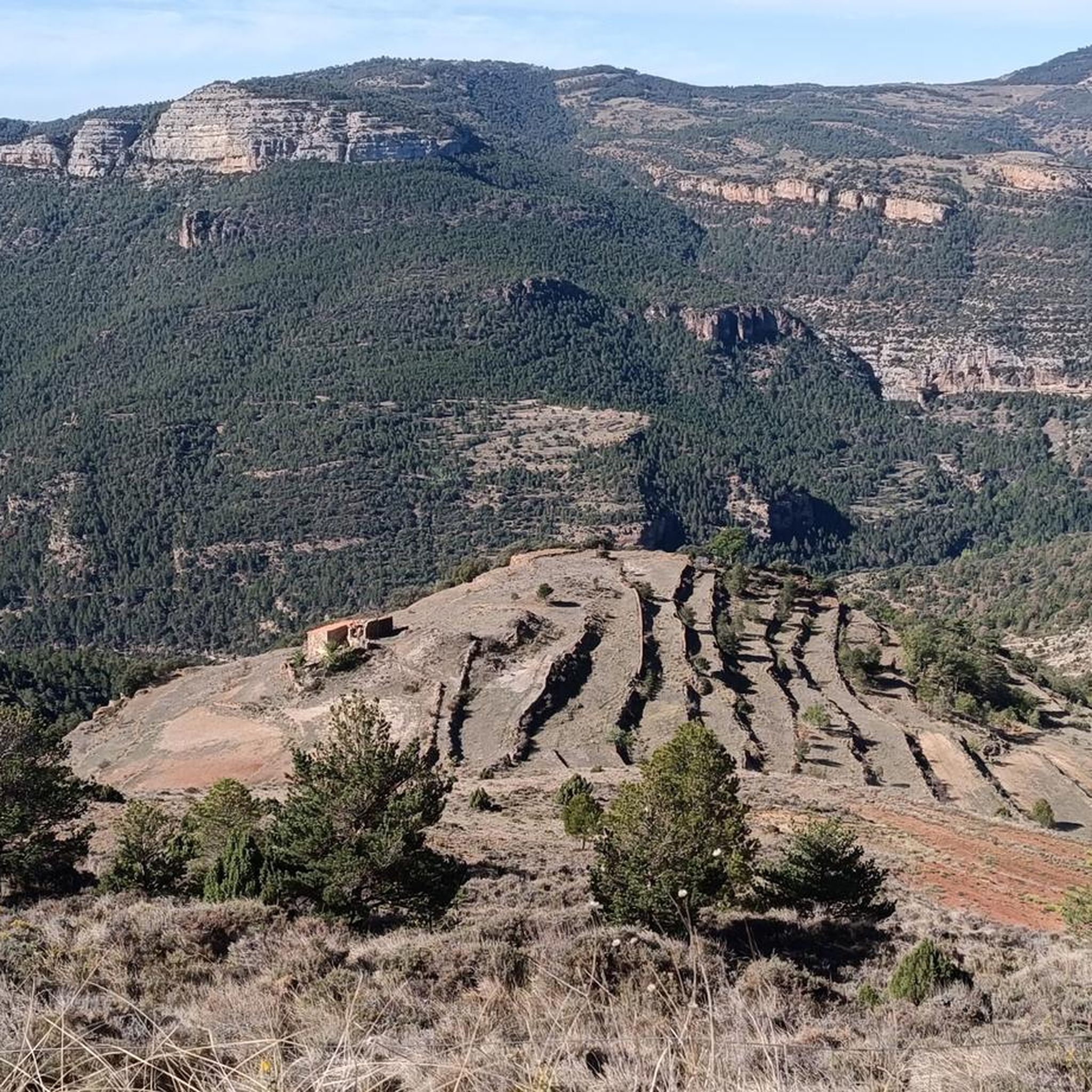
El Puerto El Remolcador is located deep in the mountains of Castellón. The ascent takes place with views of a spectacular landscape of limestone cliffs and with a marked rural character among dry orchards.
1
0

With an average slope of 12.4% to reach an altitude of 942 meters above sea level, it has undoubtedly earned the title of the hardest mountain pass in the province of Castellón. The surface from the road detour is concrete and can be quite rough in sections with a saw, so it is better to be careful, especially going down. Climbing to the Alto del Mas de la Costa is a tough and demanding challenge with the reward of spectacular views throughout the journey.
1
0

Yet another port in the confines of the province of Castellón. Although the ascent to Loma el Zorro begins at the Rodeche River on the border between Teruel and Castellón, we have not yet been able to take "in situ" data of the long version (approx. 8.5 km). So today we present the short west slope that begins in the town of Cortes de Arenoso, on the Balseta bridge. As soon as you leave the town, the road gets steep and does not stop until it reaches the brown plaque located at 1,103 meters above sea level. Very constant port of ramps that reach a maximum of 7%. Wide, well-paved road with open, bare landscapes. On the way to the top we find two accesses to the hermitage of San Cristóbal, yes, they are not paved and are more recommended for visits by mountain bike. Let's go with the data of the rise. https://www.dandolotodo09.com/2020/04/puertos-loma-el-zorro-por-cortes-de.html
0
0
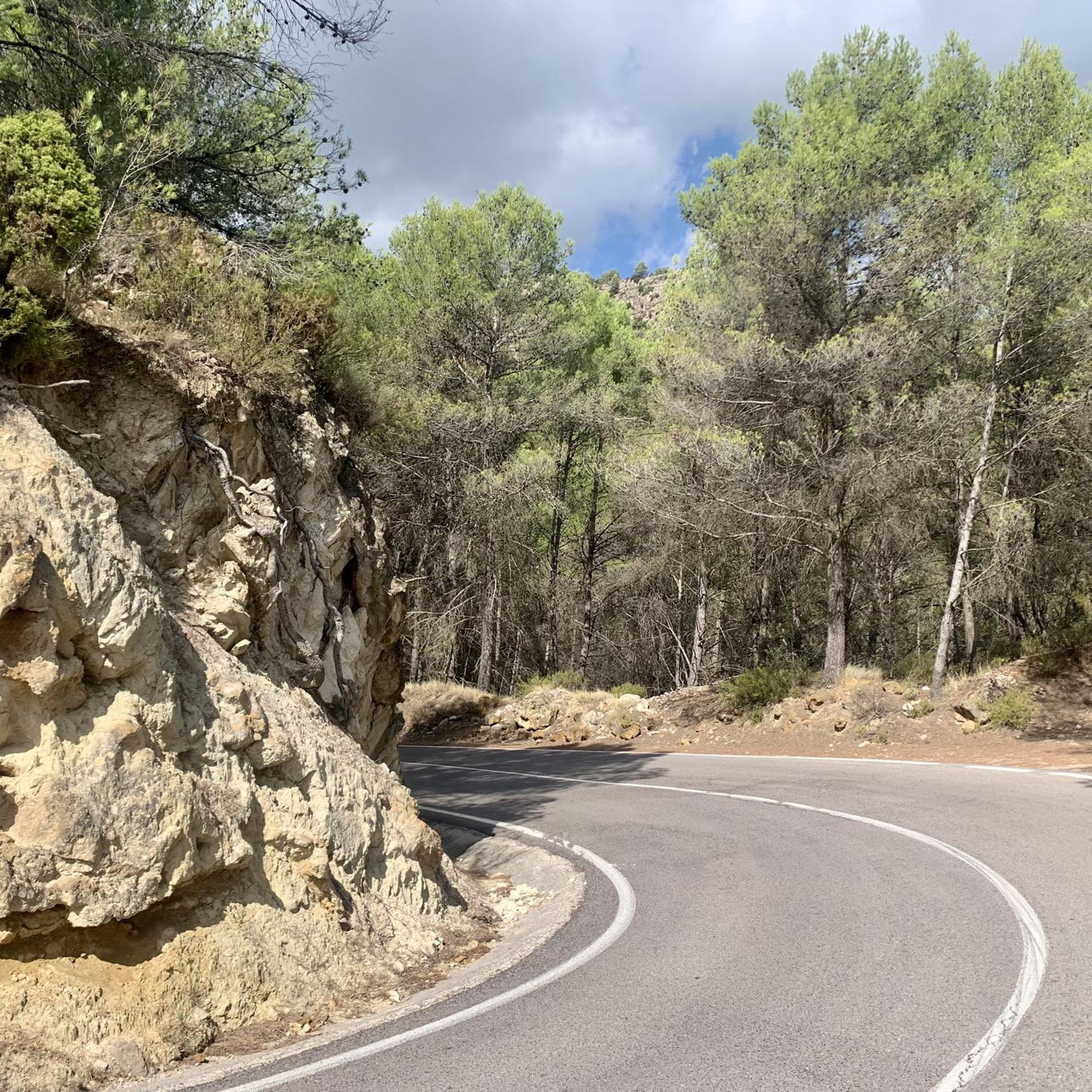
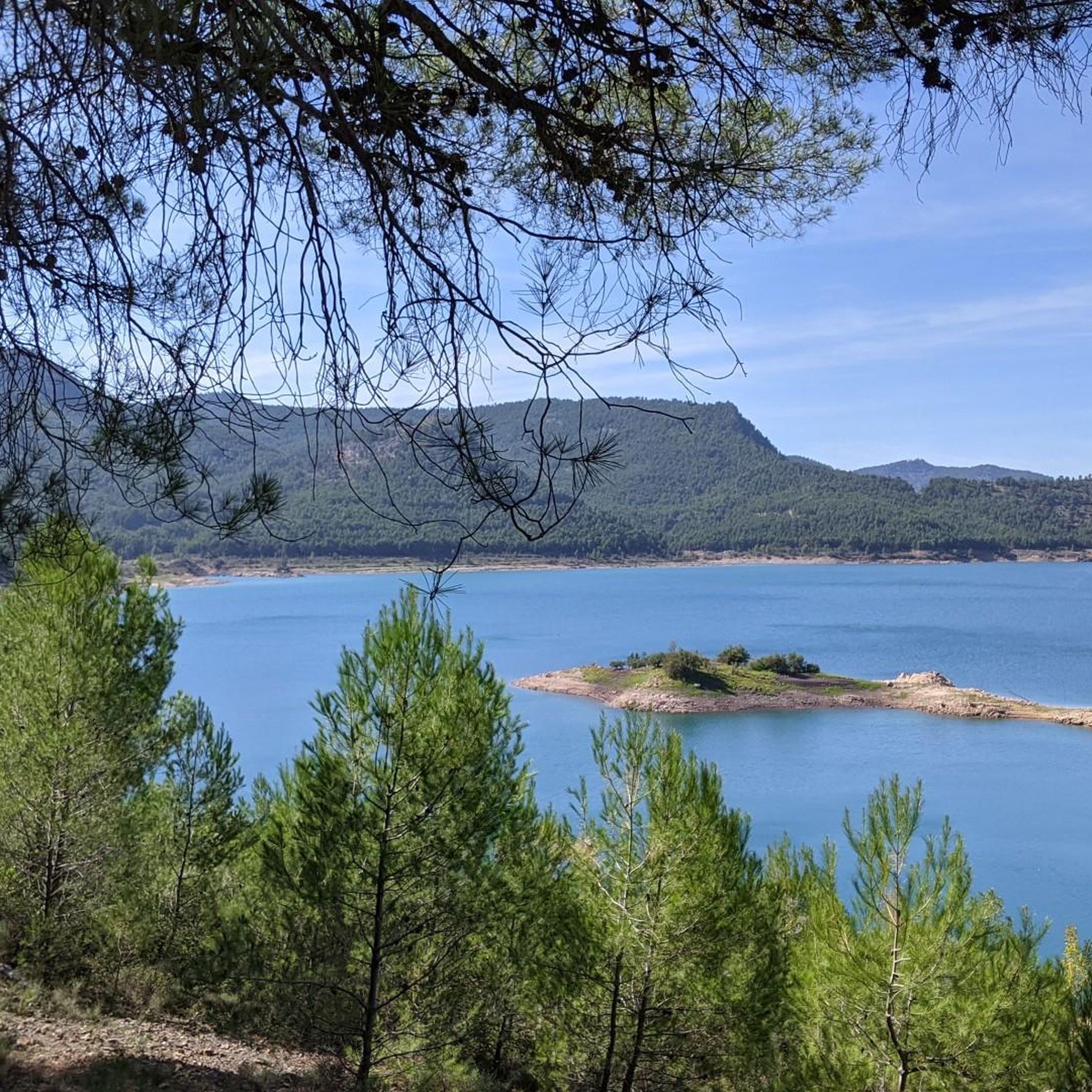
Los Molares pass, one of the hardest in the Montanejos area, as it shows an APM hardness coefficient of 85 points. Normally we cycle through the stages and after a short time, with the data collected, we carry out the altimetry and the record. In this case, 4 years have passed between data collection and office work, that is what confinement has, in the absence of pedaling, we can use the abundant data that we have collected in the last 12 years. Let's go with the details of the Puerto de los Molares, a single slope ascent that takes you towards the limit of the province of Castellón, towards the area of the town of Cortes de Arenoso along a quite hidden road. We leave Montanejos towards Cortes de Arenoso along the CV-20 road, and immediately turn right towards the CV-195, crossing the Mijares bridge. The ascent begins smoothly and with good asphalt on the road that leads to Zucaina, but that joy only lasts 1 kilometer. We turn left and we get into a totally different ascent. Narrow and somewhat bumpy road, in a very leafy forest that shelters but prevents seeing landscapes. The next 4 kilometers are not excessively hard, finding some isolated ramp at 9%. A pity about the leafiness of the forest because it is intuited that with a more open landscape there would be beautiful views of the nearby Arenoso reservoir. At kilometer 5 we find an important turning point, marked by the crossing to the Shooting Range and the Canadian pass. After that point comes a descent of half a kilometer that does not bode well. That's right, the hardness of the pass is concentrated after the descent, in the last 2 kilometers. It is the area of the last 4 horseshoes, very constant, all the time above 7-8% and with punctual ramps at 10-11-12%. The final bulletin. The last 500 meters soften. After crowning and finishing the port, there is a short descent and the ruined village of Los Molares that gives its name to this leafy and generally quite hard ascent. https://www.dandolotodo09.com/2020/04/puertos-los-molares-por-montanejos-apm.html
0
0
Small ascent of 1.40 kms at the end of the CV-193 road that connects Argelita with Lucena del Cid. Full article: https://www.dandolotodo09.com/2018/09/puertos-coronetes-por-argelita-apm-17.html
0
0
altimetry of the Tugboat from Lucena, although this port starts earlier if you come from Alcora and Figueroles. From Lucena it is almost 9 kilometers, good asphalt and a fairly gentle slope. The hardest is at the exit of Lucena. On the weekend there are many motorcyclists. As you ascend there are good views of the Penyagolosa. Full port article: https://www.dandolotodo09.com/2018/10/puertos-el-remolcador-por-lucena-del.html
0
0

Go up for the view or to feel the pain in your legs. Gradients between 12% to 22% ensure you will enjoy both.
0
1
Frequently Asked Questions
What kind of mountain pass experiences can I find around Zucaina?
While Zucaina isn't known for traditional high-altitude road passes, its mountainous terrain, part of the Sierra de Espadán Natural Park, offers numerous challenging hiking trails and elevated viewpoints. These routes provide experiences akin to navigating a pass, featuring significant elevation changes, dramatic landscapes, and panoramic vistas. You'll find everything from stunning gorges to rugged ascents leading to rewarding views.
How challenging are the mountain passes and trails around Zucaina?
The difficulty varies significantly. Some routes, like the Alto Mas de la Costa, are considered among the hardest in the province of Castellón, with an average slope of 12.4% and sections up to 22%. Other trails, such as The Bojera Path (SL-CV 105) — Circular to the Cova Negra, are classified as 'hard hikes' requiring good fitness and alpine experience. However, there are also moderate options like the Monte La Copa Trail, and easier ones like Los Estrechos Trail, which is accessible from Zucaina.
What natural features and viewpoints can I expect to see?
You can expect diverse natural beauty. The Los Estrechos Trail, accessible from Zucaina, offers dramatic gorges carved by the Mijares River and leads to the thermal pools of Fuente de los Baños. Routes like the Monte La Copa Trail provide panoramic views from spots like the Mirador de La Copa, overlooking Montanejos and the Mijares River. The Barranco del Centenario features waterfalls and natural pools, while routes towards the Penyagolosa Massif offer magnificent views, with the Columbretes Islands visible on clear days from higher elevations.
Are there any popular hiking trails that offer a mountain pass experience near Zucaina?
Yes, several popular hiking trails provide a mountain pass feel. The Bojera Path (SL-CV 105) — Circular to the Cova Negra is a challenging circular route leading to a natural cave. The Monte La Copa Trail is a moderate loop offering panoramic views. For an easier option, the Los Estrechos Trail, though not directly in Zucaina, is nearby and traverses stunning gorges. You can find more details on these and other routes in the Hiking around Zucaina guide.
When is the best time to visit Zucaina for mountain pass experiences?
The region generally offers good conditions for outdoor activities for much of the year. Spring and autumn are ideal for hiking and cycling, with pleasant temperatures and vibrant landscapes. Summer can be hot, so early mornings or late afternoons are best for activities, especially if you plan to enjoy the thermal pools. Winter can bring colder temperatures to higher elevations, but many trails remain accessible, offering a different, often quieter, experience.
Are there family-friendly or dog-friendly options for exploring the Zucaina area?
While many routes in the Zucaina area involve significant elevation changes and can be challenging, some options are more suitable for families. The Los Estrechos Trail, for example, is an easy 3.1-mile path through gorges, which can be enjoyable for families. For dog-friendly options, it's always best to check specific trail regulations, but generally, well-behaved dogs on a leash are welcome on many natural trails in the Sierra de Espadán Natural Park.
What outdoor activities can I do near these mountain passes?
Beyond exploring the mountain passes and viewpoints, the Zucaina area is excellent for various outdoor activities. You can enjoy extensive hiking, with routes like the challenging The Bojera Path or the scenic Monte La Copa Trail. Road cycling is also very popular, with routes such as the 'Tour from Montanejos through the borders of Castellón' or the 'Castillo, Zucaina, and Puertomingalvo Loop' detailed in the Road Cycling Routes around Zucaina guide. There are also numerous running trails, including the Monte la Copa and Morrón de Campos Trail.
What should I pack for hiking in the Zucaina area?
Given the varied terrain and potential for significant elevation changes, it's advisable to pack sturdy hiking shoes, layers of clothing suitable for changing weather conditions, and plenty of water. For more challenging routes like The Bojera Path, good fitness, sure-footedness, and potentially alpine experience are recommended. Sun protection, a map or GPS device, and snacks are also essential for longer excursions.
Are there any circular walks available in the Zucaina mountains?
Yes, there are circular walks that allow you to experience the region's beauty. A notable example is The Bojera Path (SL-CV 105) — Circular to the Cova Negra, which is a 9.28 km loop. The Monte La Copa Trail is also a 3.9-mile (6.3 km) loop trail offering panoramic views. These circular routes provide a comprehensive experience of the local landscape.
What is the <a href="https://www.komoot.com/highlight/3537131" target="_blank" rel="noopener">El Remolcador Pass</a> like for cycling?
The El Remolcador Pass, when approached from Lucena, is nearly 9 kilometers long with good asphalt and a generally gentle slope. The most challenging part is typically at the exit of Lucena. As you ascend, you'll be treated to good views of the Penyagolosa massif. It's a popular route, especially on weekends, with many motorcyclists also enjoying the ride.
Where can I find a challenging climb with open landscapes?
For a challenging climb with open landscapes, consider the Loma El Zorro Pass (West Side). This route involves a steep and constant climb from Cortes de Arenoso, reaching over 1,100 meters above sea level. The road is wide and well-paved, offering expansive, bare landscapes as you ascend, with ramps reaching a maximum of 7%.
What makes the <a href="https://www.komoot.com/highlight/3595878" target="_blank" rel="noopener">Los Molares Pass</a> particularly challenging?
The Los Molares Pass, especially from Montanejos, is considered one of the hardest in the area. While it starts smoothly, it quickly turns into a narrow, somewhat bumpy road through a very leafy forest. The real challenge is concentrated in the last 2 kilometers after a short descent, where you'll encounter constant ramps above 7-8%, with punctual sections reaching 10-12%. The dense forest, while sheltering, also limits views until you reach the top.
Most popular attractions around Zucaina

Get inspired with the komoot mobile app


Explore more
See even more epic mountain passes by checking out these guides around Zucaina:
