Top 4 Natural Monuments around Alcóntar
Best natural monuments around Alcóntar are situated within the Sierra de los Filabres mountain range and the Almanzora Valley. This region presents a landscape characterized by arid hills, mountains, and fertile areas along the Almanzora River. The area offers diverse natural features, from high mountain passes to unique geological formations and riverine environments. It is known for its extensive network of hiking trails and significant natural landmarks.
Best natural monuments around Alcóntar
- The most popular natural monuments is Aljibe de…
Last updated: July 1, 2026
Aljibe de Serón
Highlight • Natural Monument
Translated by Google •
Tip by

Sierras de Baza and Los Filabres
Highlight • Mountain Pass
Tip by

Sign up now to discover places like this
Get recommendations on the best single tracks, peaks, & plenty of other exciting outdoor places.
Sign up for free
Fuente Perica Spring
Highlight • Natural Monument
Translated by Google •
Tip by
Holm Oak of El Marchal del Abogado
Highlight • Natural Monument
Translated by Google •
Tip by
La Merendera Spring
Highlight • Natural Monument
Showing Translation
Tip by

Sign up for free to discover even more natural monuments around Alcóntar.
Sign up for free
Already have an account?
Start today with a free account
Your next adventure awaits.
Login or Signup

Tips from the Community

If you are passing through the Sierra de los Filabres near the summit of Calar Alto, the Fuente La Merendera is an almost mandatory stop at 1882 meters altitude. This spring is famous for its fresh water that gushes from the metamorphic rocks of the sierra. Officially there is a sign warning that it is not potable, but that does not stop locals and many passers-by from queuing with canisters, attracted by its water. However, it is a good idea to filter the water before drinking it. If you need a long break, just across the road you will find a recreational area complete with tables, barbecues, and a viewpoint with spectacular views.
0
0

Both mountain ranges ensure that it hardly rains in this semi-desert area.
1
0

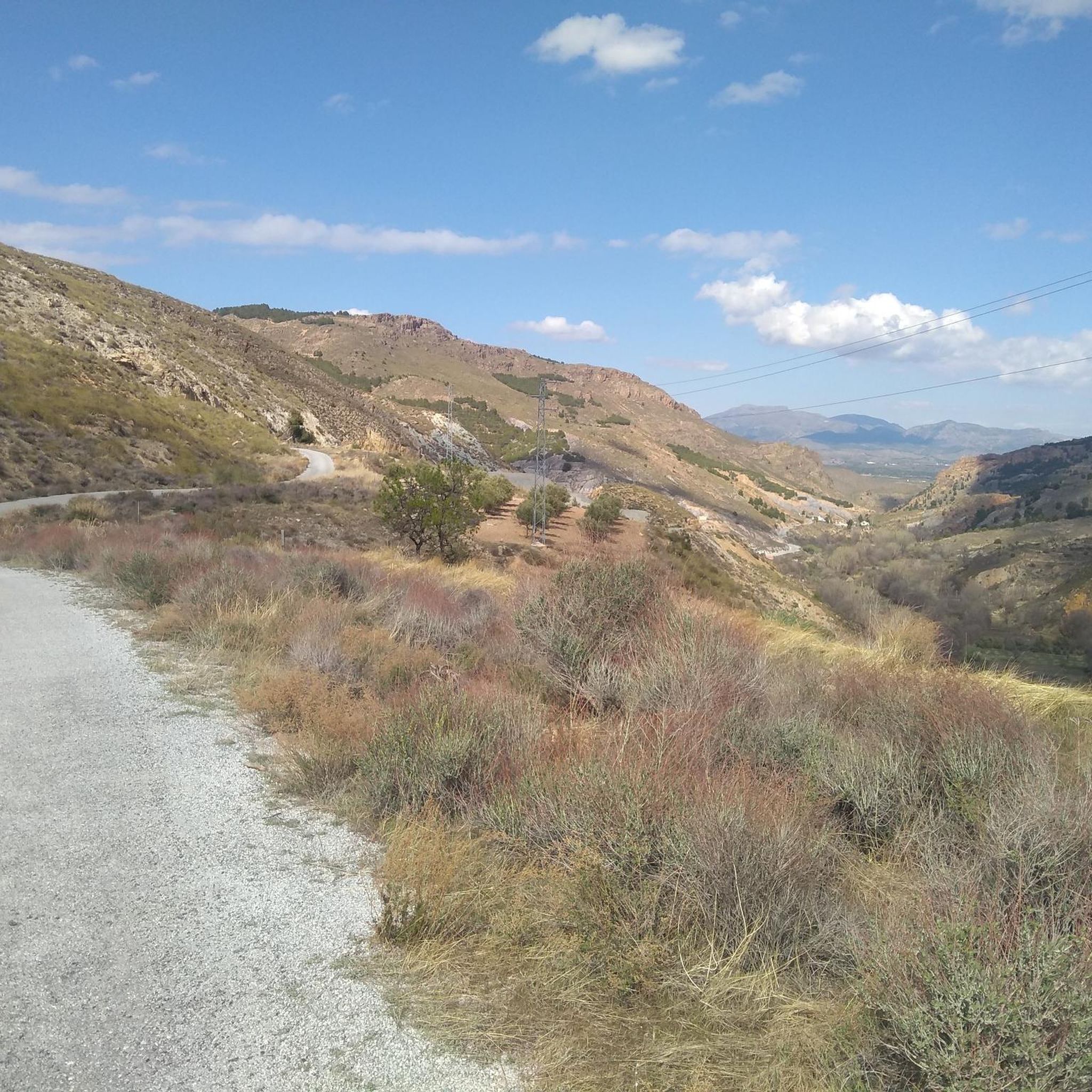
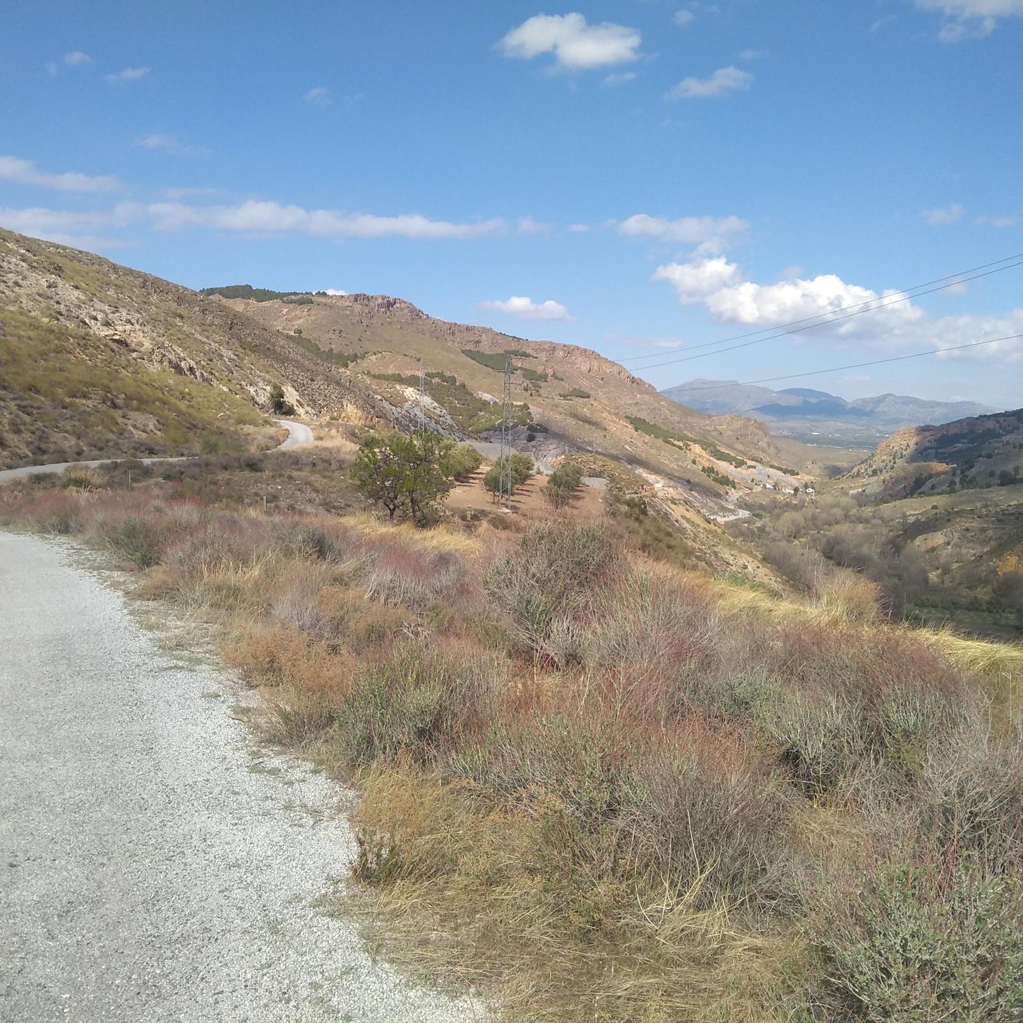
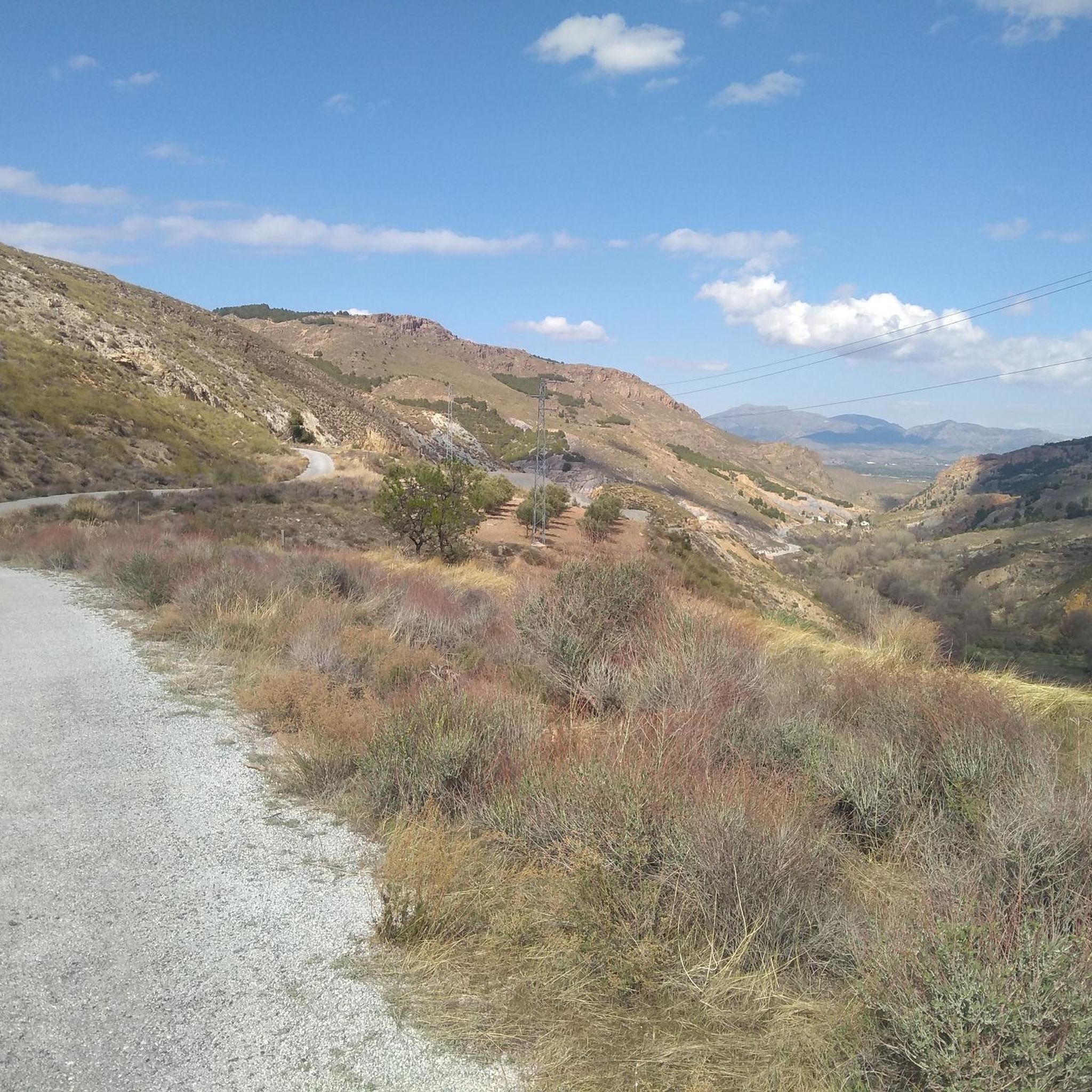
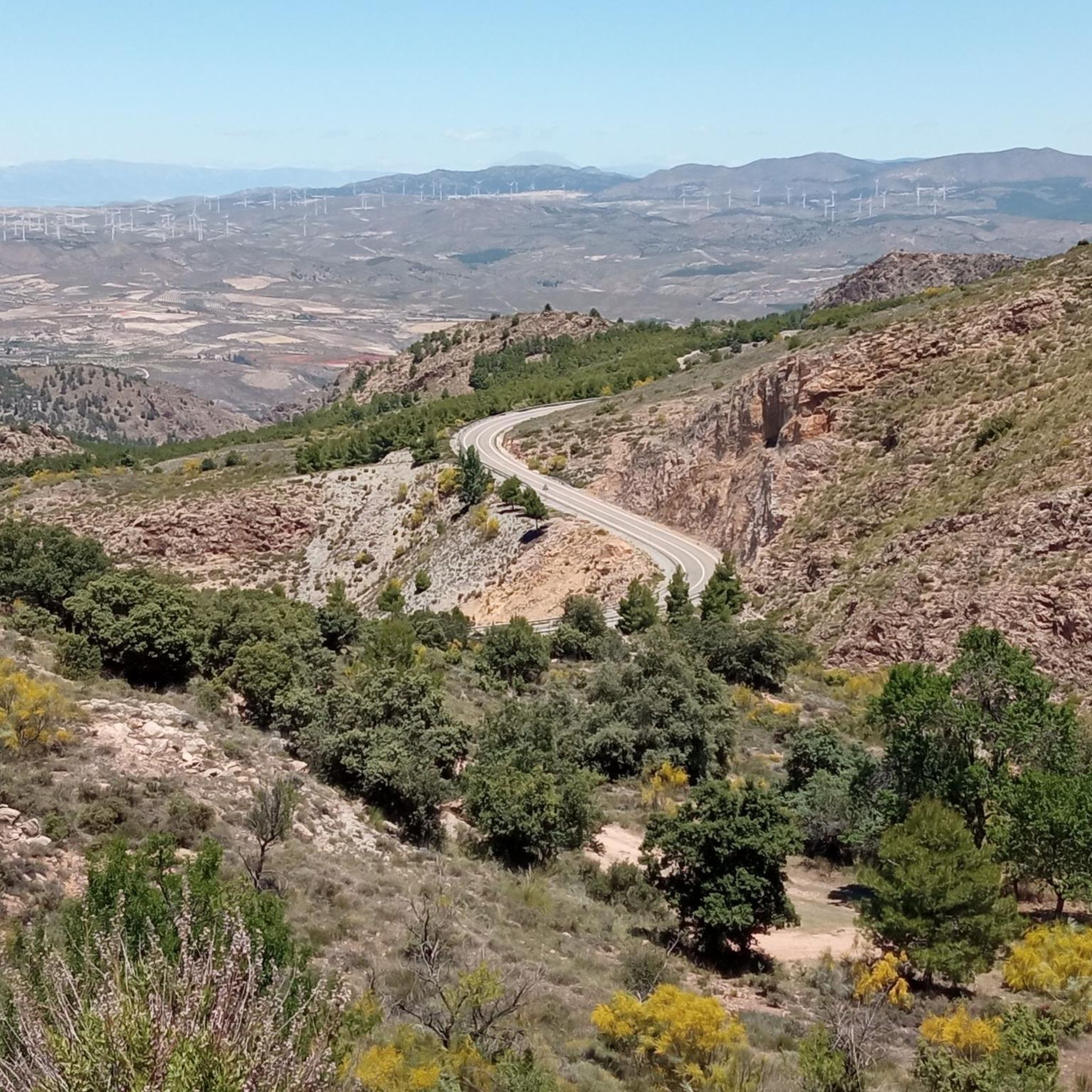
Sierra de Baza and Sierra de Los Filabres are part of a remote mountain range over 2.000m height in the province of Granada and Almería, and the most isolated area of Badlands. This mountain range was a historic crossroads of cultures, and its legacy includes remains of Roman aqueducts or Arab castles. At the highest point of the range lies the iconic Calar Alto Observatory (2.168m), easy recognizable from far away. The range also includes one of the most iconic and spectacular mountain pass in the Iberian Peninsula, el Puerto de Velefique (1.820m), popular by the high number of hairpin in the South side. The South limit of Sierra de los Filabres reaches the village of Gérgal, considered the North gate of the Tabernas Desert.
1
0

La Encina del El Marchal del Abogado seems to emerge from a world of beings from fairy tales. It is an example of those rare botanical individuals that has survived thousands of years, witnessing the passage of time and the radical transformations of its environment. The common sense of the people, the overwhelming logic has protected them for generations and has allowed them to survive over so many years, tree species that are part of the bustle of people, peoples and their history. In the Almanzora Valley there is an important and still unknown tree mass cataloged and singled out in aspects as diverse as its longevity, a capricious morphology, height or its symbiosis with the nearby population. The Encina del El Marchal del Abogado, located in the municipality of Serón, is an obvious example due to its unique shape, since it offers a perimeter of trunk that exceeds six meters and symbolizes, together with the Poplar of El Marchal del Abogado, a set of opposites that represent the versatility of the arboreal world and evoke the well-known couple of knight and squire. Close to the Sierra de Baza Natural Park, in addition to the area's interesting monumental and ethnographic heritage (Las Menas de Serón mines), the headwaters of the Almanzora offer an interesting Greenway for non-motorized enjoyment. This unique botanical specimen is part of an excellent group of unique trees that dot the Almanzora Valley and its slopes: Acerolo del Cortijo de las Iglesias, Cornicabra del Puente de El Valle, Encina de El Marchal de El Abogado, Poplar de El Marchal de The Lawyer, Encina de la Fuente el Pino, Encina de los Trébedes and Olivo de las Lomas.
0
0
Outcrops of carbonate alpujárrides materials that are what make up the aquifer. The schists, phyllites and quartzites define the eastern and northern impervious substratum and edges, while contributing to the compartmentalization of the aquifer due to the existence of numerous tectonic scales. The southern and western limits are occupied by Miocene and Plioquaternary materials, which except those that make up the alluvial of the Almanzora River are of low permeability. The thickness of the limestone and aquifer dolomites is estimated at 300 m. The feeding of the aquifer comes from the direct infiltration of part of the rain that falls on the permeable outcrops and from the surface run-off waters, coming from the shales and phyllites of the environment. The discharge is produced by boreholes and by springs and galleries located on the southern edge. This group of springs emerges together with a group of small Triassic carbonate outcrops that emerge in the Almanzora valley, in the middle of the Miocene loamy pack. The waters of these springs present the peculiarity of being slightly thermal (28 ° C or more), the most important being Cela, Perica, Cañada y Plaza, Algibe and Huelago. This thermalism is also manifested in certain soundings, some of which are upwelling. The springs and galleries that are controlled show flows with slight decreases with a contribution of 3 to 4 Hm3 / year. The evolution of levels and flows of springs reveals the compartmentalisation of the aquifer in different blocks. Like the Cela spring, the Fuencaliente upwellings are possibly linked to the existence of an important fracture, or zone of fractures forming the "horst" of Fuencaliente, parallel to the edge of the Almanzora depression, thanks to which the emergence of water will take place, which would have circulated in depth through the carbonate formations of alpujarrides units.
2
0
The water from Fuente Perica comes from carbonated alpujárrides materials. Schists, phyllites and quartzites define the eastern and northern impermeable substrate and edges, while contributing to the compartmentalization of the aquifer due to the existence of numerous tectonic scales. The southern and western limits are occupied by Miocene and Plioquaternary materials, which, except for those that make up the Almanzora River alluvial, are of low permeability. The thickness of the aquiferous limestones and dolomites is estimated at 300 m. The supply of the aquifer comes from the direct infiltration of part of the rain that falls on the permeable outcrops and surface runoff water, coming from the surrounding schists and phyllites. The discharge occurs through boreholes and through springs and galleries located on the southern edge. This group of springs emerges together with a group of small Triassic carbonate outcrops that outcrop in the Almanzora valley, in the middle of the Miocene loamy package. The waters of these springs have the peculiarity of being slightly thermal (28 °C or more), the most important being Cela, Perica, Cañada and Plaza, Algibe and Huelago. This thermalism is also manifested in certain wells, some of which are springs. Like the Cela spring, the Fuencaliente, Perica and Algibe springs are possibly linked to the existence of an important fracture, or zone of fractures forming the Fuencaliente "horst", parallel to the edge of the Almanzora depression, thanks at which the emergence of the water that precisely would have circulated in depth will take place.
1
0
Bathing place and enjoy
4
0
Frequently Asked Questions
What are some notable natural monuments to visit around Alcóntar?
The region around Alcóntar offers several unique natural monuments. You can explore the thermal waters of Aljibe de Serón, discover the ancient Holm Oak of El Marchal del Abogado with its unique morphology, or visit the high-altitude La Merendera Spring, known for its fresh water and recreational area.
Are there family-friendly natural monuments near Alcóntar?
Yes, several natural monuments are suitable for families. The Aljibe de Serón is a great spot for bathing and enjoying the thermal springs. The ancient Holm Oak of El Marchal del Abogado offers a fascinating natural spectacle that can spark children's imagination.
What kind of natural features can I expect to see in the Alcóntar area?
The area around Alcóntar, nestled in the Sierra de los Filabres and Almanzora Valley, boasts diverse natural features. You'll find striking mountain landscapes, extensive forests, fertile river valleys, and unique geological formations. Highlights include thermal springs like Fuente Perica Spring and ancient trees such as the Holm Oak of El Marchal del Abogado.
What outdoor activities can I do near these natural monuments?
The Sierra de los Filabres, where Alcóntar is located, is a paradise for outdoor enthusiasts. You can enjoy extensive hiking, cycling, and mountain biking. For cycling, explore routes like the Vía Verde del Valle del Almanzora. Mountain bikers can tackle challenging trails such as the Velefique climb. Find more routes in the Cycling around Alcóntar and MTB Trails around Alcóntar guides.
Are there any viewpoints offering panoramic scenery?
Absolutely. The region is known for its spectacular vistas. The Sierras de Baza and Los Filabres mountain range offers numerous viewpoints, including the iconic Calar Alto Observatory at 2,168m. The La Merendera Spring also has a recreational area with stunning views.
What is the best time of year to visit the natural monuments around Alcóntar?
The Sierra de los Filabres region generally offers a pleasant climate for outdoor activities. Spring and autumn are ideal for hiking and cycling, with milder temperatures and vibrant landscapes. Summer can be warm, especially in the valleys, but higher elevations like those near Sierras de Baza and Los Filabres offer cooler air. Winters can bring snow to the highest peaks, providing a different kind of beauty for those prepared for colder conditions.
What makes the springs in this area unique?
The springs in the Almanzora Valley, such as Aljibe de Serón and Fuente Perica Spring, are notable for their slightly thermal waters, typically around 28°C or more. This thermalism is linked to the unique geological structure of the area, where water circulates deep within carbonate formations before emerging.
Can I find hiking trails near these natural monuments?
Yes, the Sierra de los Filabres is renowned for its extensive network of hiking trails. You can find routes that pass by or lead to many natural features. For example, the area around Sierras de Baza and Los Filabres offers countless paths. The Almanzora Valley also features gentler walks along the river. Explore more options in the Cycling around Alcóntar and MTB Trails around Alcóntar guides, which often include hiking-friendly sections.
What is the significance of the Sierra de los Filabres mountain range?
The Sierra de los Filabres is a significant mountain range spanning approximately 151,000 hectares, forming the backdrop to Alcóntar. It's an authentic natural paradise, characterized by diverse terrain from cereal plains to dense forests and peaks reaching nearly 2,000 meters. It's an important area for rural tourism, known for its climate, traditional charm, and rich natural heritage, with efforts underway for its potential designation as a Natural Park.
Are there any unique trees or botanical features to observe?
Yes, the region is home to remarkable botanical specimens. The Holm Oak of El Marchal del Abogado in Serón is a prime example, known for its longevity and unique, capricious morphology. This ancient tree is part of a larger group of unique trees dotting the Almanzora Valley, showcasing the arboreal diversity of the area.
Most popular attractions around Alcóntar

Get inspired with the komoot mobile app


Explore more
Extend your search for the best caves by checking out these guides of the top ones around Alcóntar:
