Top 15 Natural Monuments around Pradoluengo
Natural monuments around Pradoluengo are found in a region of Burgos, Spain, characterized by a blend of Atlantic and Mediterranean climates. The area is situated at the gateway to the Sierra de la Demanda, a mountain range known for its diverse landscapes. This region offers significant natural sites and features with ecological value and recreational opportunities. Visitors can explore varied flora and fauna, including extensive forests and mountain passes.
Best natural monuments around Pradoluengo
- The most popular natural monuments is…
Last updated: July 1, 2026
San Millán (2,131 m)
Highlight • Summit
Translated by Google •
Tip by

El Hombre summit (Sierra de la Demanda)
Highlight • Summit
Translated by Google •
Tip by

Sign up now to discover places like this
Get recommendations on the best single tracks, peaks, & plenty of other exciting outdoor places.
Sign up for free
Cruz de la Demanda Pass
Highlight • Mountain Pass
Mythical port of the Sierra de la Demanda with privileged views over the valley and the mountain ranges.
Translated by Google •
Tip by

Cruz De Guirnaldo
Highlight • Summit
Translated by Google •
Tip by

Zarcia Recreation Area
Highlight • Rest Area
Translated by Google •
Tip by

Sign up for free to discover even more natural monuments around Pradoluengo.
Sign up for free
Already have an account?
Start today with a free account
Your next adventure awaits.
Login or Signup
Tips from the Community


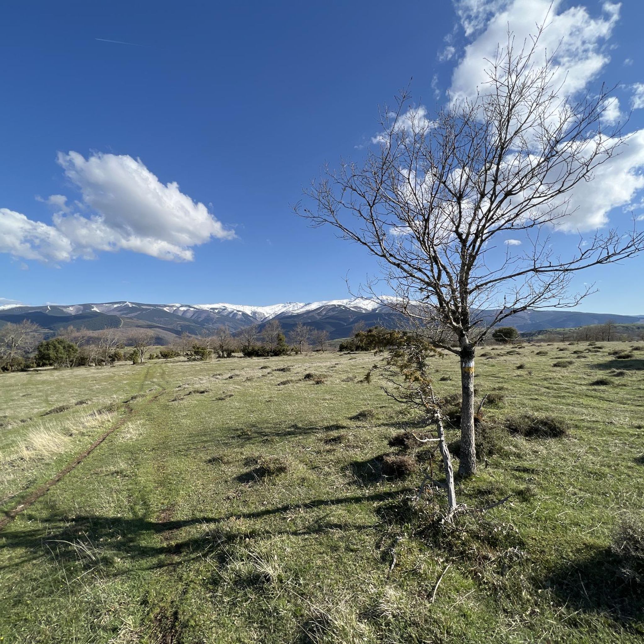
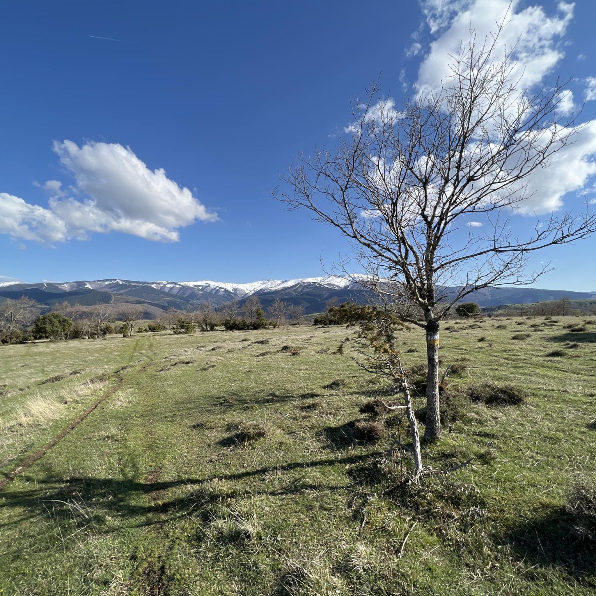
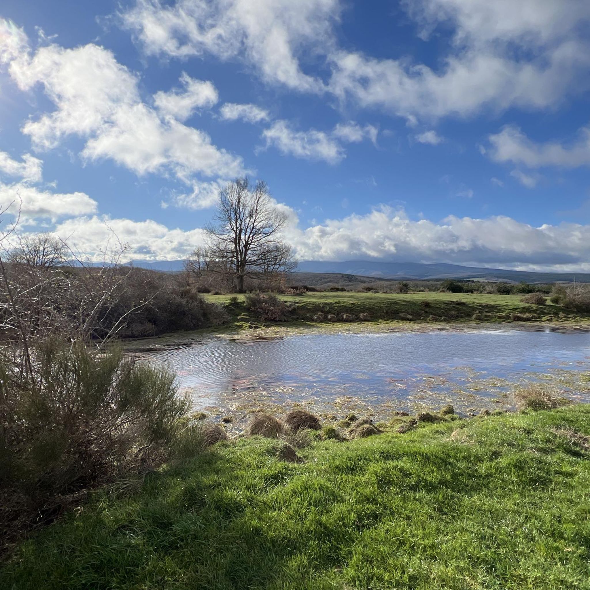
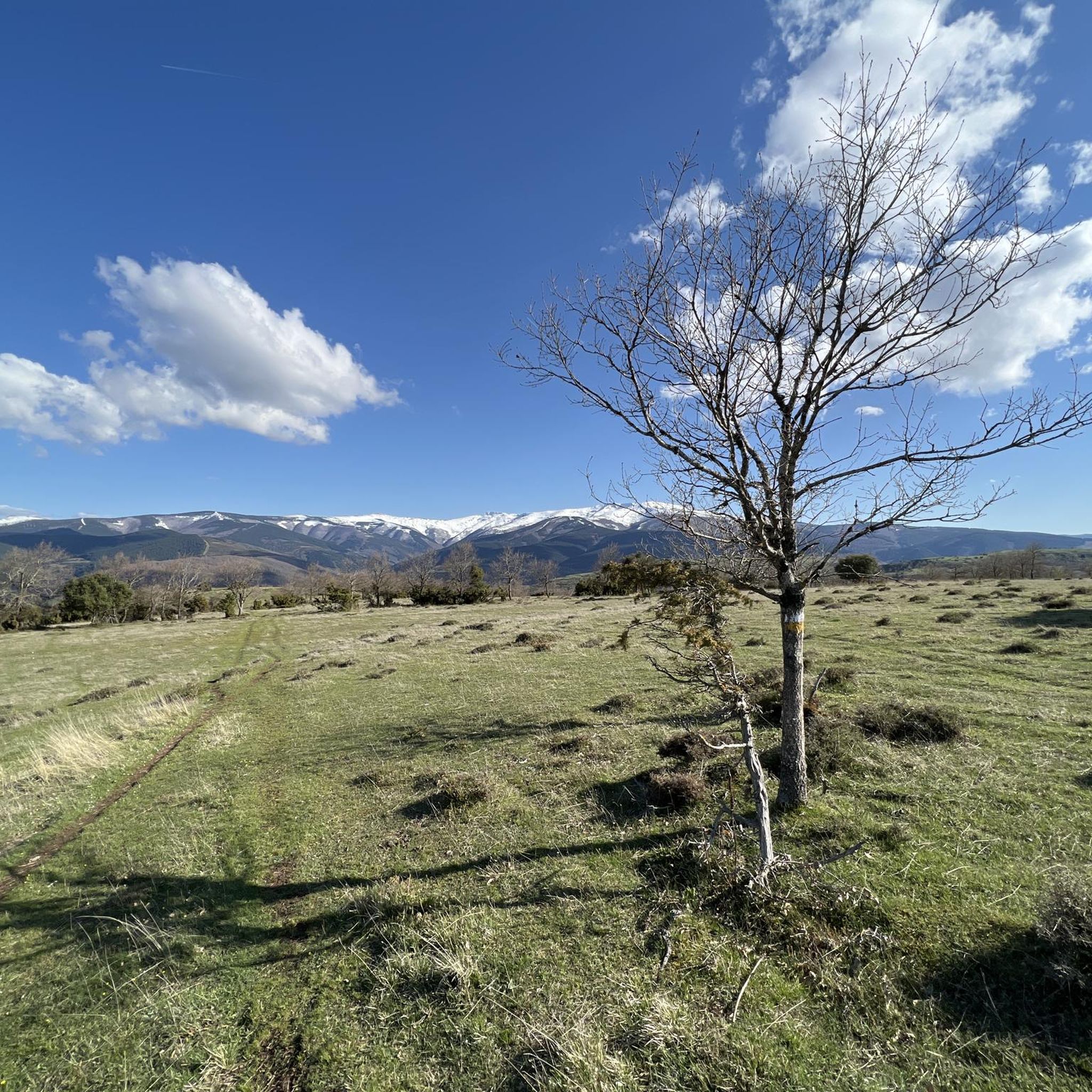
a highly recommended area for hiking.
0
1
Nice area for hiking and mountain biking trails in La Demanda
0
0

With the mountain route you can go up from Fresneda, reach the Pozo Negro (durillo), and from there to the Cruz de la Demanda, returning to Fresneda by road and passing through the top of La Pradilla.
0
0

The Zarcia Recreational Zone is 2.8 kilometers from Santa Cruz del Valle Urbión along a dirt track suitable for cars, there are some potholes but with care they do not present problems. At the entrance to the picnic areas there is room for three or four cars and 150 meters before arriving there is space for many more. The route begins along the main path of the Urbión River valley, passes through a detour and after one kilometer the Altuzarra waterfalls path appears on the right, which is the return route. The path does not present orientation complications, it follows the course of the water to the head of the valley. In several sections you have to cross the riverbed or walk along the small islands that the torrent forms when there is a lot of flow, always among beech trees, holly trees, yew trees and the riverside scrub that seeks the humidity and wild environment of the glacial valley. Some reference points are the Refugio de Laguarra cabin and shortly after the crossroads where the Mirador de Domingo Sevilla trail leaves on the right, which is also a shortcut to get directly to the Altuzarra waterfalls without passing through the summit of the mountain. . On the opposite bank of the ravine is the “most famous beech tree in Burgos”, as indicated by a sign stuck on a stone near the monumental tree.
0
0

This is geographically the highest mountain in the province of Burgos and which also represents one of the roofs of the Sierra de la Demanda. At 2130 meters high, it offers impressive panoramic views of the surrounding valleys.
1
0

High mountain peak that is 1,855 meters high, located in the Sierra de la Demanda, right on the border between Castilla y León and La Rioja. A nice place to take a break and enjoy the natural beauty around you.
2
0

In the Sierra de la Demanda, the summit of El Hombre (also known as Siete Mosquejos) is 1,549 m. altitude and is crowned by a fire watch tower. It is reached from the Erizola pass.
1
0
Frequently Asked Questions
What are some of the most notable natural monuments to visit around Pradoluengo?
The region around Pradoluengo offers a variety of natural monuments. You can explore high mountain peaks like San Millán (2,131 m), which is the highest point in Burgos province, or the scenic Cruz de la Demanda Pass at 1,855 meters. Other significant sites include the diverse landscapes of the Sierra de la Demanda, the beautiful Beech and Pine Forests, and the historical Senda de los Batanes.
What kind of terrain and difficulty can I expect when exploring the natural monuments?
The terrain varies significantly. For instance, reaching San Millán (2,131 m) is considered a challenging high-mountain route. Other summits like Cruz De Guirnaldo and El Hombre summit are intermediate. You'll find everything from demanding mountain trails to more moderate paths through forests and along rivers, such as those leading to the Cascadas de Altuzarra or within the Zarcia Recreation Area.
Are there family-friendly natural monuments or recreational areas around Pradoluengo?
Yes, the Zarcia Recreation Area is an excellent family-friendly option. It features facilities, a forest, and a river, making it ideal for picnics and gentle walks. It's also a starting point for exploring the path to the Altuzarra waterfalls, which offers a lush environment suitable for nature lovers of all ages.
What outdoor activities can I do near these natural monuments?
The area around Pradoluengo is perfect for various outdoor activities. You can find extensive opportunities for hiking, with routes like the Fuente de los Lobos Trail or the Senda de los Batanes. Cycling is also popular, especially around the Alto de la Pradilla. For more detailed routes and options, explore the guides for Hiking around Pradoluengo, Cycling around Pradoluengo, and Road Cycling Routes around Pradoluengo.
What natural features can I expect to see in the region?
You'll encounter a rich variety of natural features. The Sierra de la Demanda boasts diverse landscapes with evergreen and deciduous forests, including stunning beech and pine forests. There are numerous summits offering panoramic views, such as San Millán and Cruz de la Demanda Pass. The region also features abundant streams, springs, and waterfalls, particularly along routes like the Cascadas de Altuzarra.
What is the best time of year to visit the natural monuments around Pradoluengo?
The region is beautiful year-round, but autumn is particularly stunning when the beech and pine forests change color, offering a vibrant spectacle. Spring brings lush greenery and flowing waterfalls. Summer is ideal for high-altitude hikes, while winter offers opportunities for snow activities, though some routes may be more challenging due to conditions.
Are there any historical or cultural sites integrated with the natural monuments?
Yes, the Senda de los Batanes is a prime example, blending natural beauty with cultural heritage. Along this route, you can see the ruins of old mills (batanes) that once utilized the hydraulic power of the Oropesa River for the textile industry, set within an excellent natural environment.
Can I spot wildlife when visiting the natural monuments?
The diverse flora of the Sierra de la Demanda supports a rich fauna. Visitors exploring the forests and mountain areas, especially in quieter times, may spot deer, roe deer, wild boars, and various bird of prey species.
Are there any viewpoints offering panoramic vistas?
Absolutely. San Millán (2,131 m) offers impressive panoramic views of the surrounding valleys. The Cruz de la Demanda Pass provides privileged views over the valley and mountain ranges. Additionally, the Alto de la Pradilla is noted for its scenic views from both sides, making it a rewarding climb for cyclists and hikers.
Are there easy hiking trails suitable for a relaxed walk?
Yes, while there are challenging mountain routes, you can find easier trails. The Zarcia Recreation Area offers gentle paths, and the Senda de los Batanes provides a relatively easy walk with historical interest. For more options, check the Hiking around Pradoluengo guide, which includes routes like the 'Pradoluengo Village – Old Bridge loop' rated as easy.
What do visitors enjoy most about the natural monuments around Pradoluengo?
Visitors frequently appreciate the stunning panoramic views from summits like San Millán and Cruz de la Demanda Pass. The diverse landscapes, from ancient forests to river valleys with waterfalls, also receive high praise. The blend of challenging hikes and tranquil recreational areas ensures there's something for every nature enthusiast.
Most popular attractions around Pradoluengo

Get inspired with the komoot mobile app


Explore more
Extend your search for the best caves by checking out these guides of the top ones around Pradoluengo:
