Top 8 Mountain Passes around Castillo De Villamalefa
Best mountain passes around Castillo De Villamalefa are found in a region characterized by its mountainous terrain within the Alto Mijares in Castellón. The village itself is situated on a mountainside, offering access to diverse hiking opportunities and scenic elevated areas. The area is located near Peñagolosa peak, a significant landmark, and features a network of trails through pine forests and along the Villahermosa River. Natural features like El Chorrador waterfall also contribute to the area's appeal for mountain enthusiasts.
…Last updated: July 15, 2026
Port del Collao (Coll del Vidre)
Highlight • Mountain Pass
In the classic cycling stage of going up to Vistabella (a stone's throw from the sky), you always have to return to Atzeneta tasting the Vidre from behind. Fortunately, …
Translated by Google •
Tip by

Xodos / Chodos Pass (Atzeneta Side)
Highlight (Segment) • Mountain Pass
The port that goes up to Xodos/Chodos is one of the great colossi of the province of Castellón, with its more than 16 kilometers in length and almost 700 …
Translated by Google •
Tip by
Sign up now to discover places like this
Get recommendations on the best single tracks, peaks, & plenty of other exciting outdoor places.
Sign up for free
Puerto El Remolcador
Highlight • Mountain Pass
Showing Translation
Tip by

Coll de les Coronetes
Highlight • Mountain Pass
Translated by Google •
Tip by
Los Molares Pass
Highlight • Mountain Pass
Translated by Google •
Tip by
Sign up for free to discover even more mountain passes around Castillo De Villamalefa.
Sign up for free
Already have an account?
Start today with a free account
Your next adventure awaits.
Login or Signup

Tips from the Community

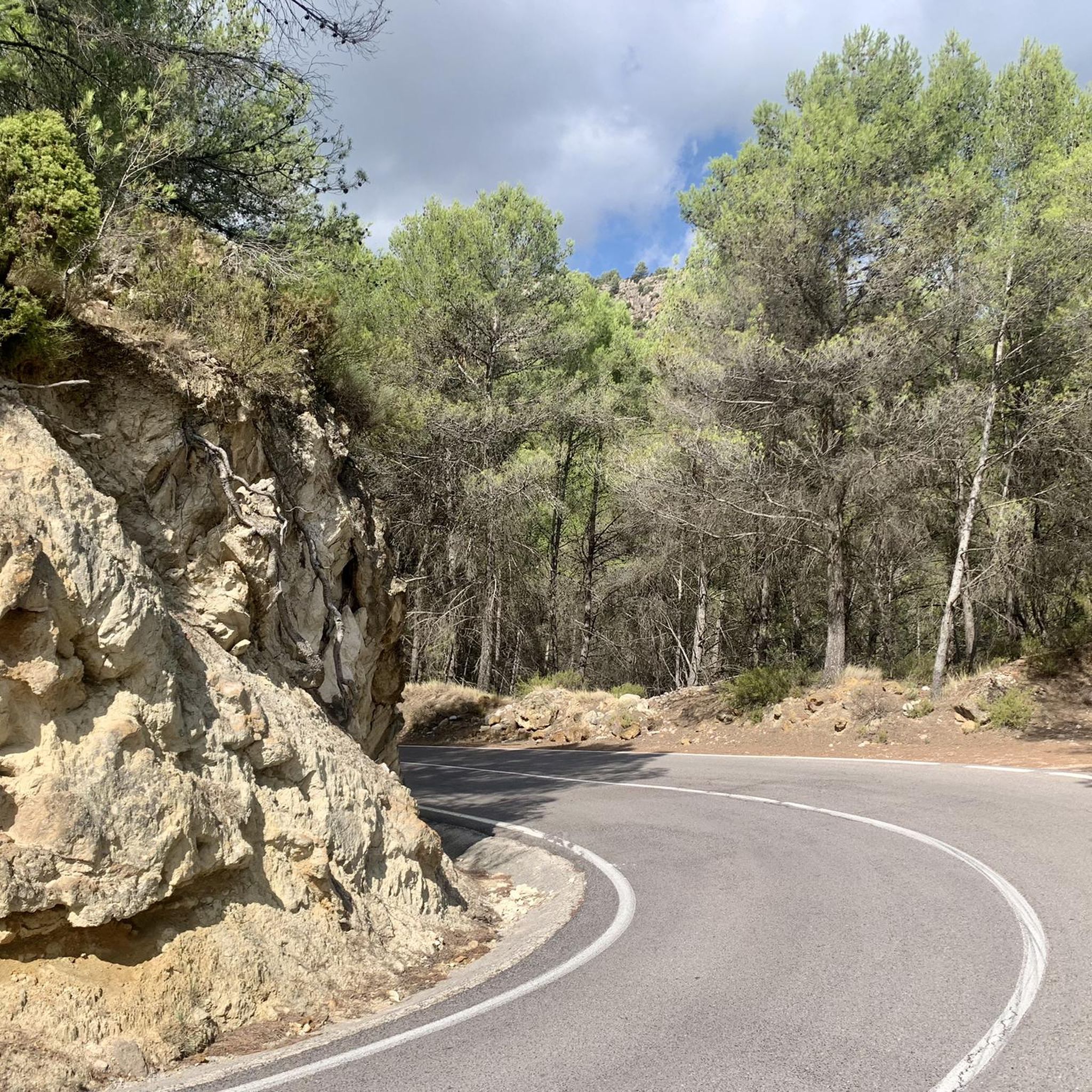
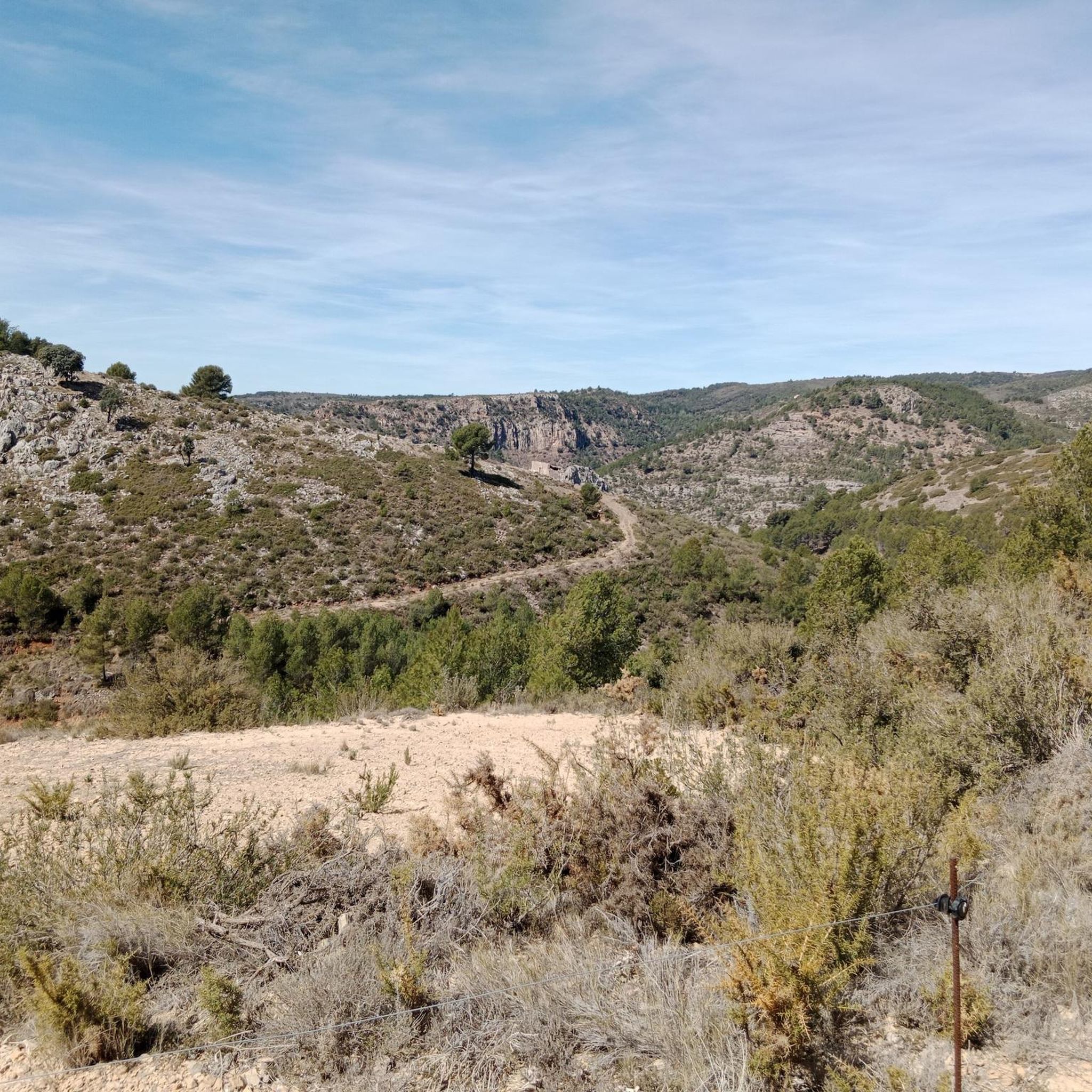
El Puerto El Remolcador is located deep in the mountains of Castellón. The ascent takes place with views of a spectacular landscape of limestone cliffs and with a marked rural character among dry orchards.
1
0

Good views.
1
0

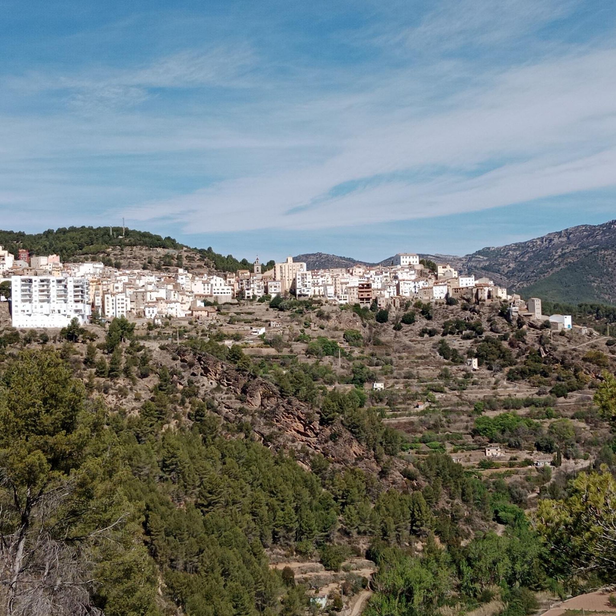
https://www.dandolotodo09.com/2021/09/puertos-xodos-chodos-por-atzeneta-apm.html The port that goes up to Xodos/Chodos is one of the great colossi of the province of Castellón, with its more than 16 kilometers in length and almost 700 meters of accumulated ascent. We have waited a long time to visit it, but the ascent was worth it. Our journey begins in the town of Atzeneta del Maestrat. Very wide asphalt road in perfect condition, a paradise for bikers who trace the curves as if they were on a circuit. Shadows there is not one. It is the port of the 5 peaks, which gives an idea of what breaks we do have during its ascent. Between peaks 2 and 3 we have 5 very constant kilometers, where the slope rarely drops below 6%. Speaking of slopes, the maximum is around 10-11% and is reached at various points in the port. Arriving at the town of Xodos, the landscape opens up and we can contemplate one of the most beautiful pictures of the province, with the town perched on a cliff and the Gegant de Pedra el Penyagolosa to its left. To reach the highest point (1,103 meters above sea level) you have to cross the town and climb almost 1 kilometer more along a narrower and somewhat rougher road. The other side of the port runs along the aforementioned road and ends at the beginning of the Port of Vistabella, which is now called Coll del Vidre on the plates.
0
0
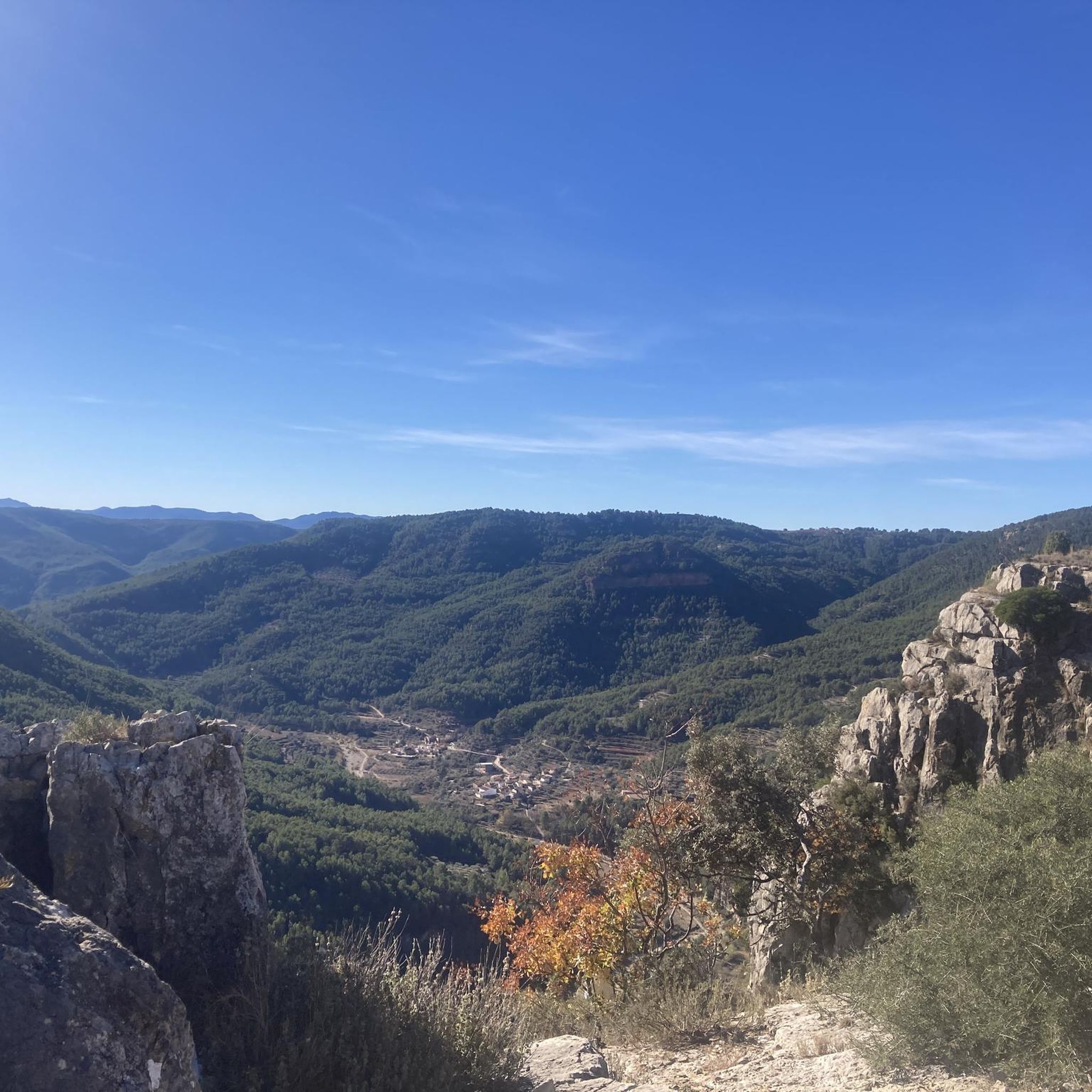
https://www.dandolotodo09.com/2018/12/puertos-el-collao-vidre-por-vistabella.html In the classic cycling stage of going up to Vistabella (a stone's throw from the sky), you always have to return to Atzeneta tasting the Vidre from behind. Fortunately, the north face is much shorter than the main south slope that climbs from Atzeneta. On the north face we find a port of just over 3 km, with constant slopes and some hairpin bends. It tends to be harder than it really is because one always arrives cold after the Vistabella break. The nomenclature of the port was always the Vidre, it has recently been renamed Port del Collao, as the new plaques attest. Formerly there was a plaque with a graffiti that marked it as Coll de la Xaparra, because near the top there is a Farmhouse and a ravine with the same name.
2
1
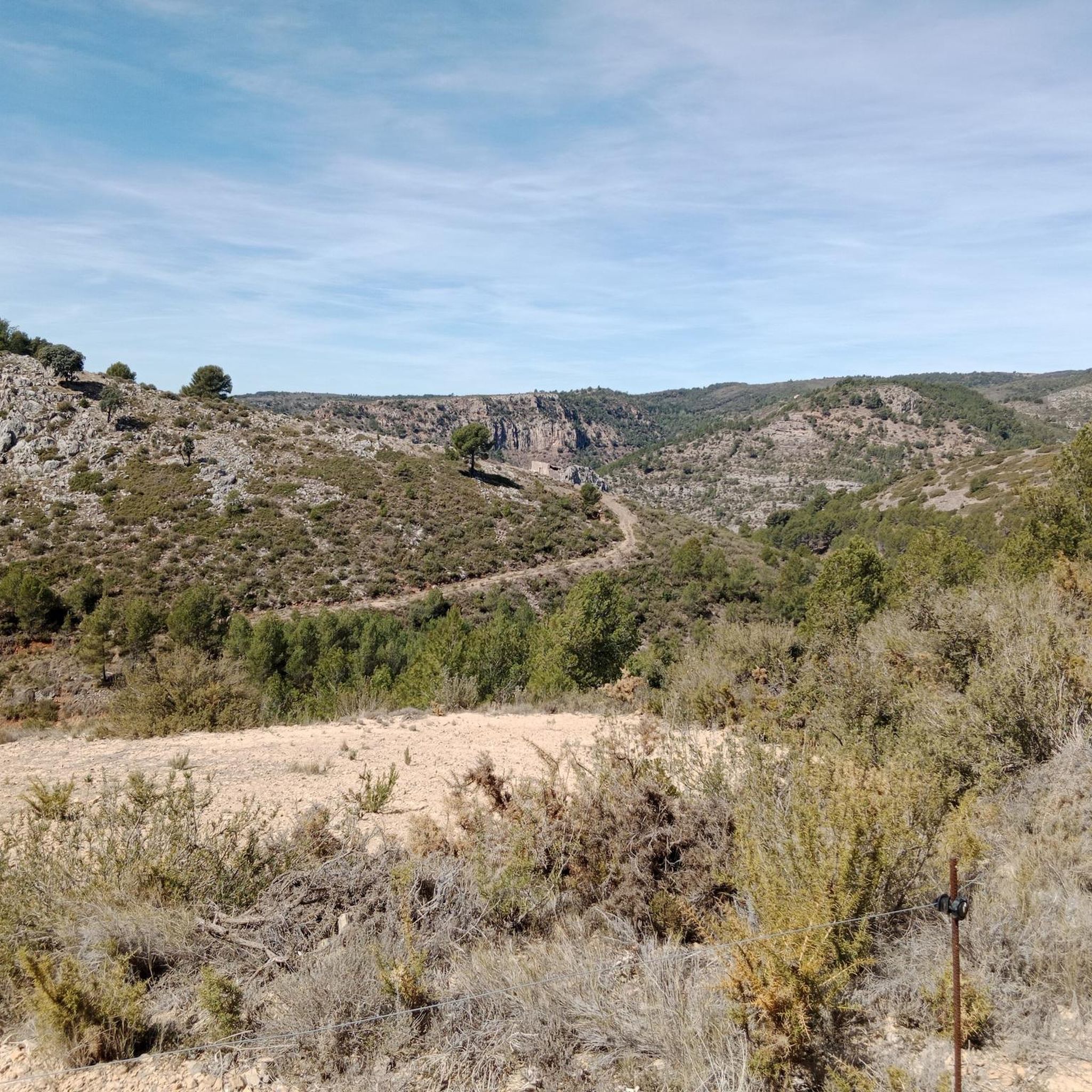
Los Molares pass, one of the hardest in the Montanejos area, as it shows an APM hardness coefficient of 85 points. Normally we cycle through the stages and after a short time, with the data collected, we carry out the altimetry and the record. In this case, 4 years have passed between data collection and office work, that is what confinement has, in the absence of pedaling, we can use the abundant data that we have collected in the last 12 years. Let's go with the details of the Puerto de los Molares, a single slope ascent that takes you towards the limit of the province of Castellón, towards the area of the town of Cortes de Arenoso along a quite hidden road. We leave Montanejos towards Cortes de Arenoso along the CV-20 road, and immediately turn right towards the CV-195, crossing the Mijares bridge. The ascent begins smoothly and with good asphalt on the road that leads to Zucaina, but that joy only lasts 1 kilometer. We turn left and we get into a totally different ascent. Narrow and somewhat bumpy road, in a very leafy forest that shelters but prevents seeing landscapes. The next 4 kilometers are not excessively hard, finding some isolated ramp at 9%. A pity about the leafiness of the forest because it is intuited that with a more open landscape there would be beautiful views of the nearby Arenoso reservoir. At kilometer 5 we find an important turning point, marked by the crossing to the Shooting Range and the Canadian pass. After that point comes a descent of half a kilometer that does not bode well. That's right, the hardness of the pass is concentrated after the descent, in the last 2 kilometers. It is the area of the last 4 horseshoes, very constant, all the time above 7-8% and with punctual ramps at 10-11-12%. The final bulletin. The last 500 meters soften. After crowning and finishing the port, there is a short descent and the ruined village of Los Molares that gives its name to this leafy and generally quite hard ascent. https://www.dandolotodo09.com/2020/04/puertos-los-molares-por-montanejos-apm.html
0
0
Small ascent of 1.40 kms at the end of the CV-193 road that connects Argelita with Lucena del Cid. Full article: https://www.dandolotodo09.com/2018/09/puertos-coronetes-por-argelita-apm-17.html
0
0
altimetry of the Tugboat from Lucena, although this port starts earlier if you come from Alcora and Figueroles. From Lucena it is almost 9 kilometers, good asphalt and a fairly gentle slope. The hardest is at the exit of Lucena. On the weekend there are many motorcyclists. As you ascend there are good views of the Penyagolosa. Full port article: https://www.dandolotodo09.com/2018/10/puertos-el-remolcador-por-lucena-del.html
0
0

Coll or port of the Glass. 1,056 m.
0
1
Frequently Asked Questions
What are some of the most notable mountain passes around Castillo De Villamalefa?
The region offers several distinct mountain passes. One of the most popular is Port del Collao (Coll del Vidre), known for its constant slopes and hairpin bends over 3 km, reaching an elevation of 1,056 meters. Another significant challenge is Xodos / Chodos Pass (Atzeneta Side), a demanding climb extending over 16 kilometers with almost 700 meters of accumulated ascent, offering views of the town perched on a cliff and Penyagolosa.
Are there mountain passes suitable for intermediate cyclists or hikers?
Yes, Coll de les Coronetes is an intermediate mountain pass that covers 1.40 km and connects Argelita with Lucena del Cid. It offers a good option for those looking for a moderate challenge.
What kind of terrain and difficulty can I expect on the mountain passes?
The mountain passes around Castillo De Villamalefa offer a variety of terrain and difficulty levels. You can find challenging climbs, such as the Xodos / Chodos Pass, as well as intermediate trails like Coll de les Coronetes. The region is characterized by its mountainous landscape, pine forests, and scenic elevated areas, providing diverse experiences for different skill levels.
What natural features and viewpoints can I discover near the mountain passes?
Beyond the passes themselves, the area is rich in natural beauty. You can enjoy breathtaking views of the surrounding landscapes from passes like Port del Collao and Xodos / Chodos Pass, which offers vistas of Penyagolosa. The region is also home to the spectacular El Remolcador Pass, which provides good views of the Penyagolosa as you ascend. Additionally, the 70-meter high El Chorrador waterfall is a must-see natural feature located between Castillo de Villamalefa and Zucaina.
What are the best times to visit the mountain passes in Castillo De Villamalefa?
The best time to visit depends on your activity. For hiking, the region's trails through pine forests are enjoyable in various seasons. If you plan to visit El Chorrador waterfall, summer is ideal for a refreshing dip, while winter offers a different perspective as part of a hiking route, especially after rainfall when the cascade is full.
Are there any particularly challenging mountain passes for experienced adventurers?
Absolutely. The Los Molares Pass is considered one of the hardest in the Montanejos area, with an APM hardness coefficient of 85 points. It features a narrow, somewhat bumpy road through a leafy forest, with steep ramps reaching 10-12% in its final kilometers, making it a significant test for experienced cyclists.
What outdoor activities can I do near these mountain passes?
The mountainous terrain around Castillo De Villamalefa is perfect for various outdoor activities. You can explore numerous cycling routes, including challenging ones like the "Toll de Carlos – Lago Verde loop from Benagualit" or the "Montanejos Hot Springs – Montanejos loop from Toga." For more details, check the Cycling around Castillo De Villamalefa guide.
Are there mountain biking trails available in the area?
Yes, the region offers a variety of mountain biking trails. You can find routes like the "Parque Natural de Penyagolosa — Circular desde Xodos hasta Puertomingalvo" or the "Penyagolosa (1,815 m) – Puertomingalvo loop from Castillo de Villamalefa." For a comprehensive list, refer to the MTB Trails around Castillo De Villamalefa guide.
Can I find gravel biking routes near the mountain passes?
Gravel biking enthusiasts will find several options. Routes such as the "Font de la Parra – Coll de les Coronetes loop from Llucena" and the "Puertomingalvo – Puertomingalvo Pass loop from Llucena" offer diverse terrain for gravel adventures. Explore more in the Gravel biking around Castillo De Villamalefa guide.
What other natural attractions are there besides mountain passes?
Beyond the passes, the area is known for its access to Peñagolosa peak, a significant landmark. The Villahermosa River also crosses the village, offering an agreeable hiking route, including a 3-kilometer section between Castillo de Villamalefa and Cedramán that involves navigating through pools and rapids. Cedramán itself is noted for its incredible scenery, old arches, and cool water fountains.
What do visitors enjoy most about the mountain passes and surrounding area?
Visitors appreciate the diverse terrain and scenic viewpoints offered by the mountain passes, catering to different skill levels. The challenging climbs and intermediate trails are highly valued. The komoot community has contributed 15 upvotes and 8 photos, highlighting the area's appeal for mountain enthusiasts seeking natural beauty and outdoor adventures.
Most popular routes around Castillo De Villamalefa
Most popular attractions around Castillo De Villamalefa

Get inspired with the komoot mobile app


Explore more
See even more epic mountain passes by checking out these guides around Castillo De Villamalefa:
