Top 7 Mountain Passes around Montanejos
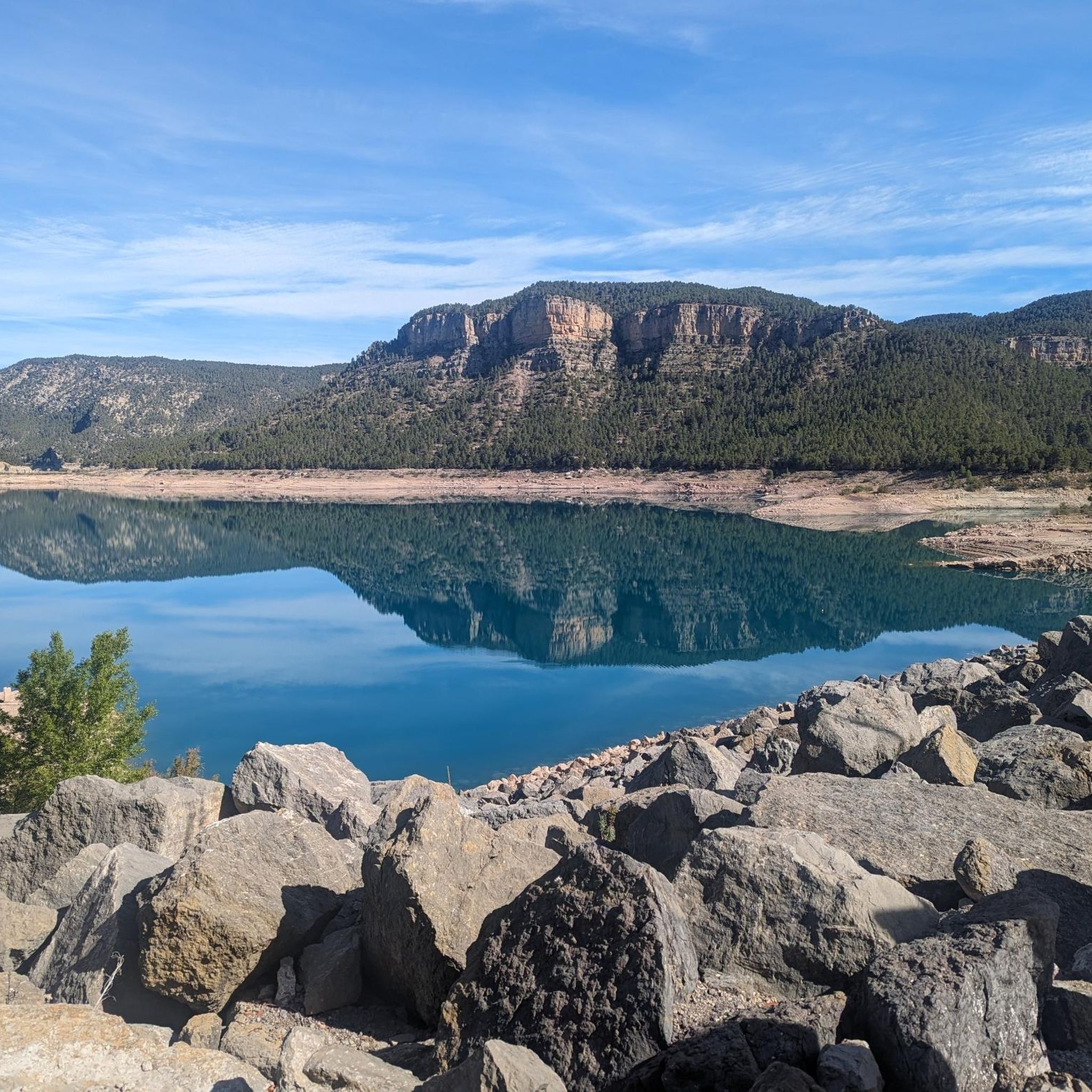
Best mountain passes around Montanejos are located in the Alto Mijares region, offering a variety of mountainous routes. The area features challenging ascents, scenic vistas, and natural wonders for cyclists and hikers. The Mijares River has carved impressive gorges and cliffs, creating a landscape with significant elevation changes and panoramic views. Montanejos provides diverse experiences for outdoor enthusiasts seeking mountainous terrain.
Best mountain passes around Montanejos
- The most popular mountain passes is Fanzara to Montanejos Scenic Route, a trail…
Last updated: July 15, 2026
Loma El Zorro Pass (West Side)
Highlight • Mountain Pass
Translated by Google •
Tip by

Los Molares Pass
Highlight • Mountain Pass
Translated by Google •
Tip by
Sign up now to discover places like this
Get recommendations on the best single tracks, peaks, & plenty of other exciting outdoor places.
Sign up for free
Puerto de Los Molares (Second Ascent)
Highlight • Mountain Pass
Translated by Google •
Tip by
Fanzara to Montanejos Scenic Route
Highlight (Segment) • Trail
Translated by Google •
Tip by

San Vicente de Piedrahíta Viewpoint
Highlight • Viewpoint
Just 3 km from Montanejos begins the ascent to the port (also a viewpoint) with ramps between 8 and 11%. It is …
Translated by Google •
Tip by
Sign up for free to discover even more mountain passes around Montanejos.
Sign up for free
Already have an account?
Start today with a free account
Your next adventure awaits.
Login or Signup
Popular around Montanejos
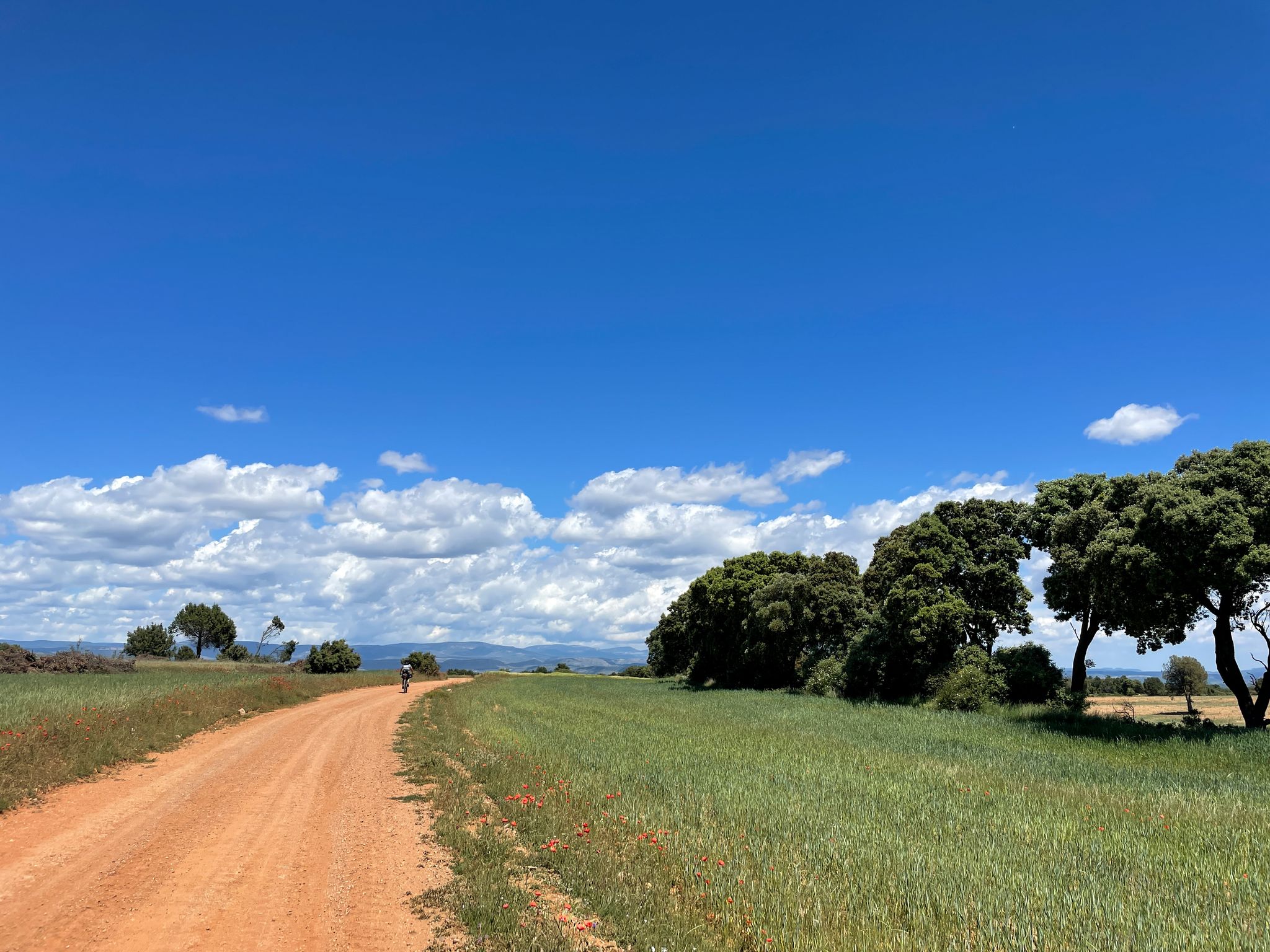
El Camino del Cid – conquest of Valencia by gravel bike
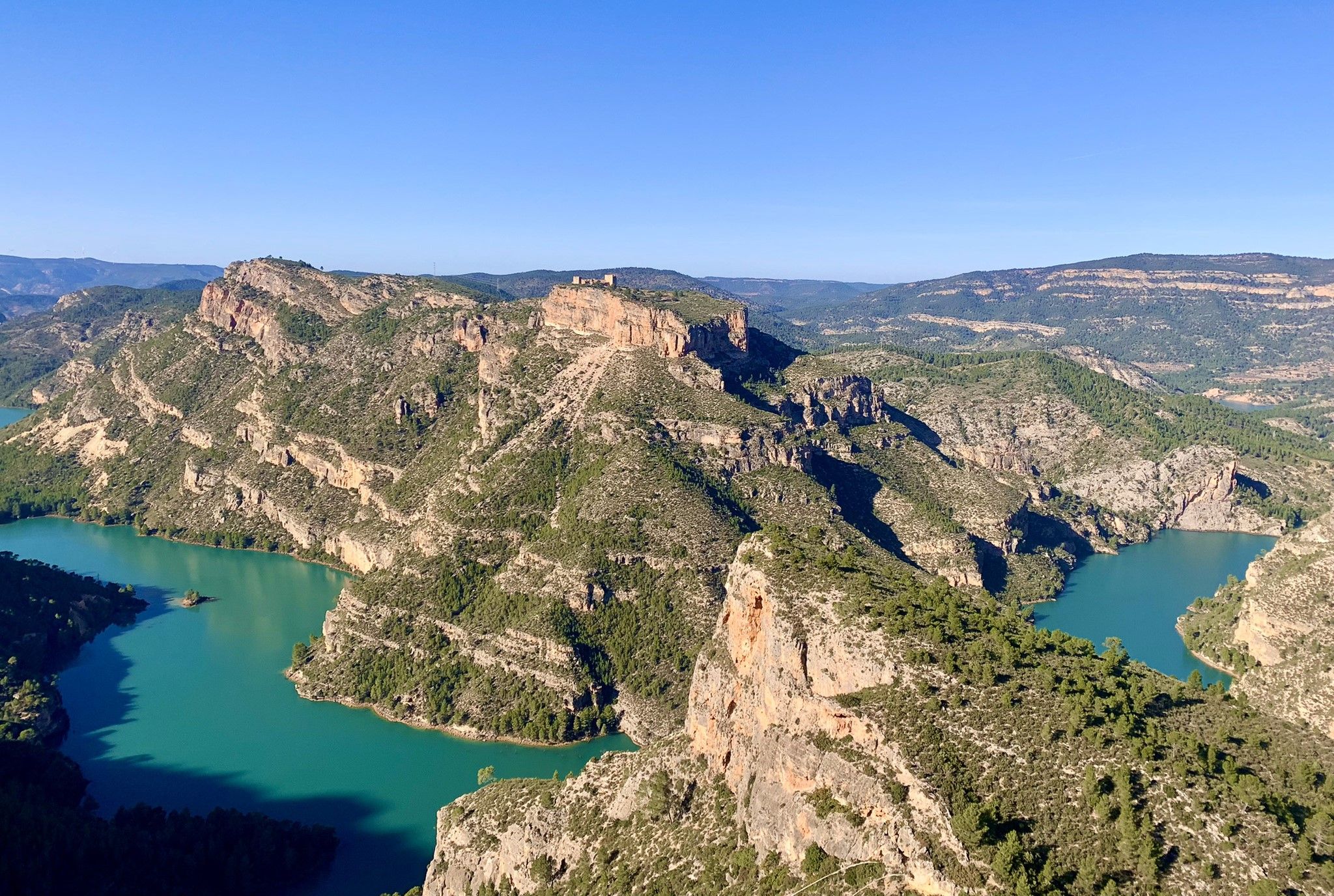
A journey full of discoveries – the Valencia region on foot (GR7)
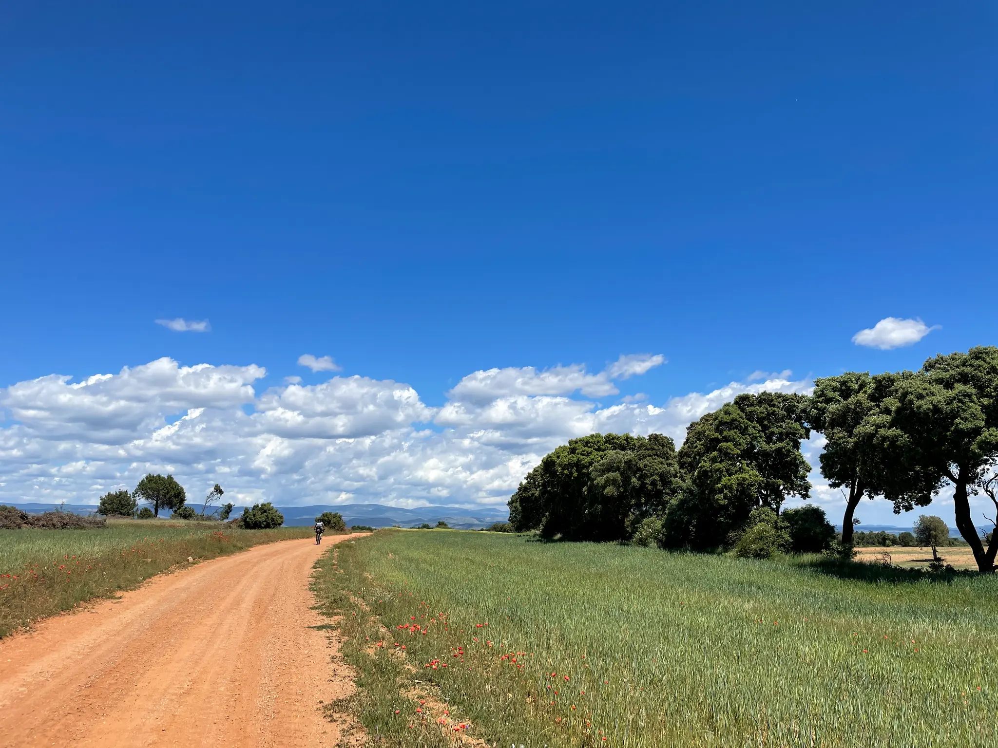
El Camino del Cid – The Conquest of Valencia on MTB
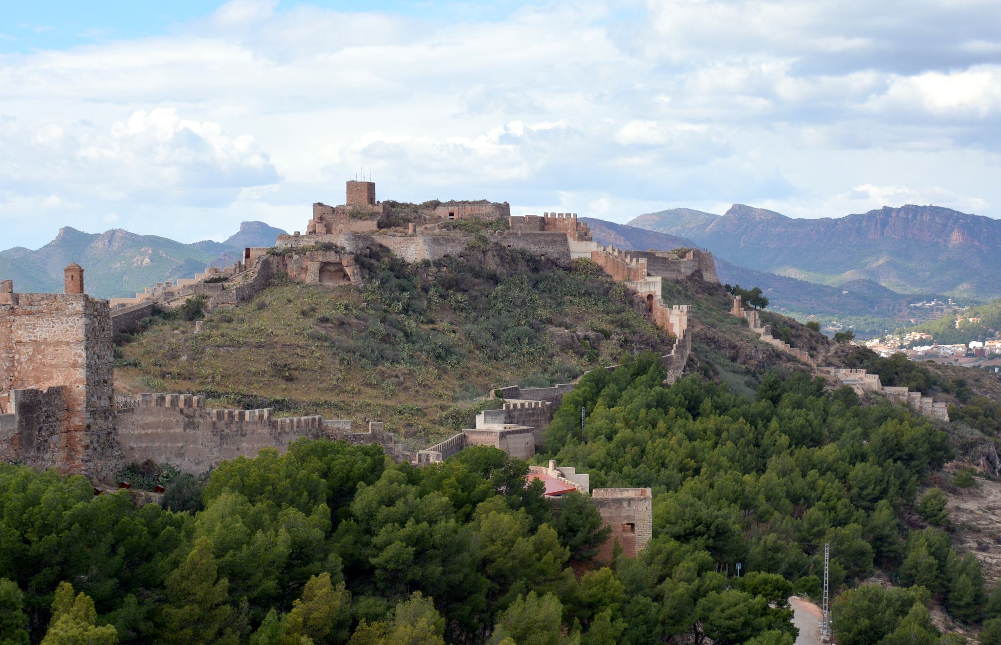
The Way of El Cid by bicycle – Conquest of Valencia
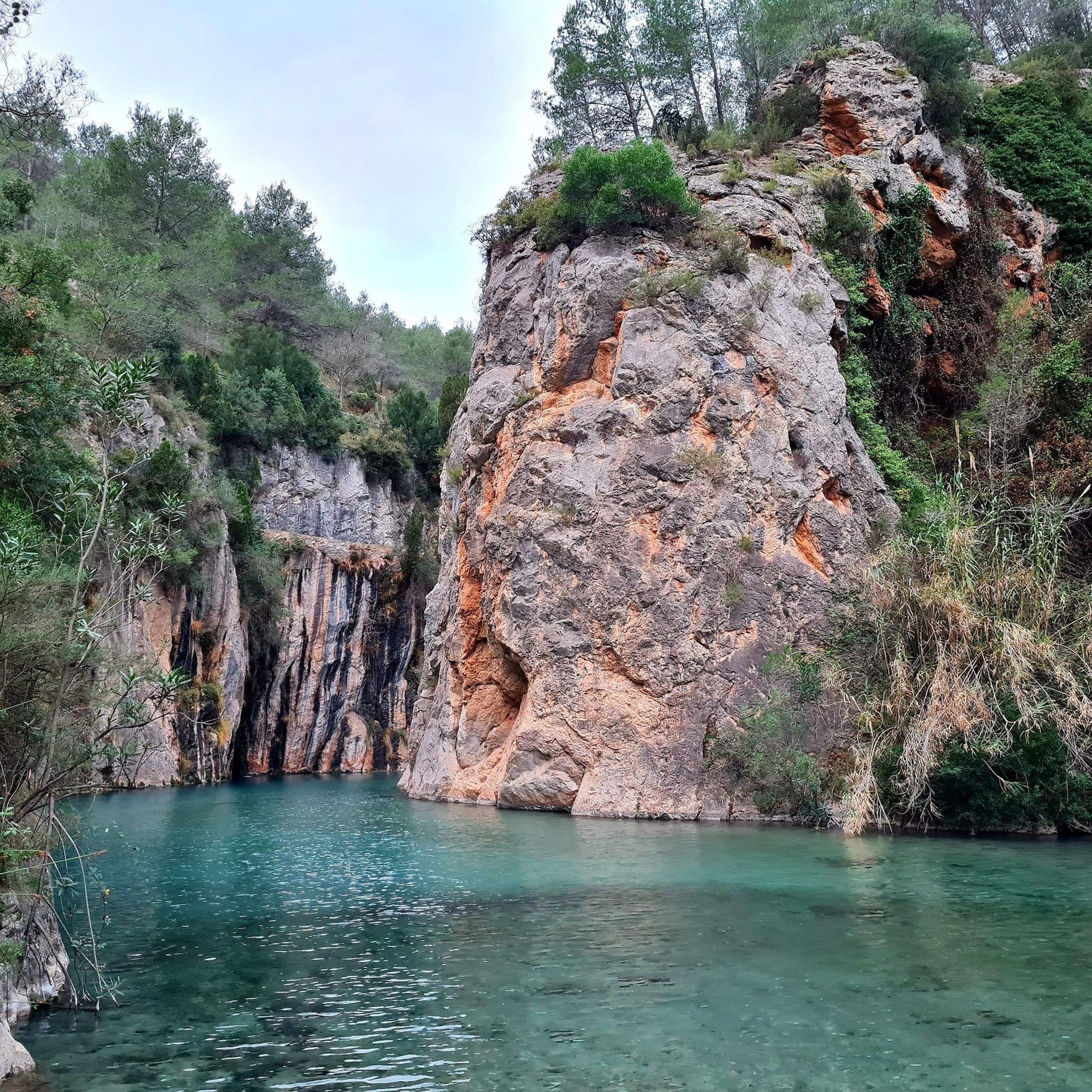
Hiking around Montanejos
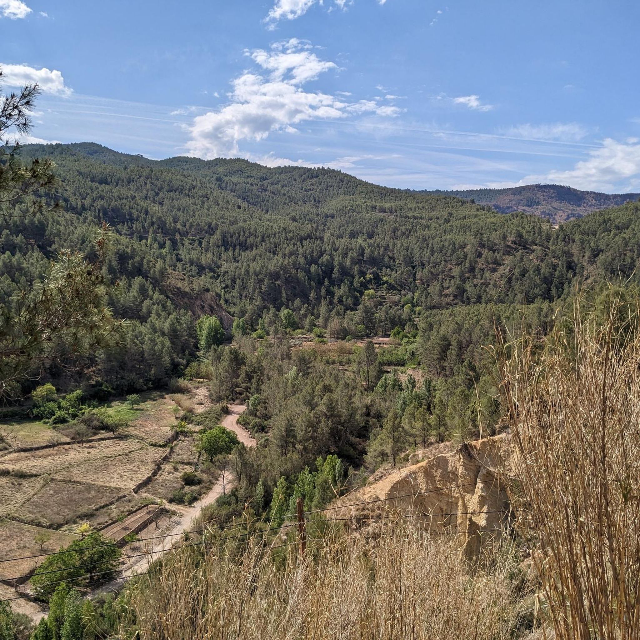
MTB Trails around Montanejos
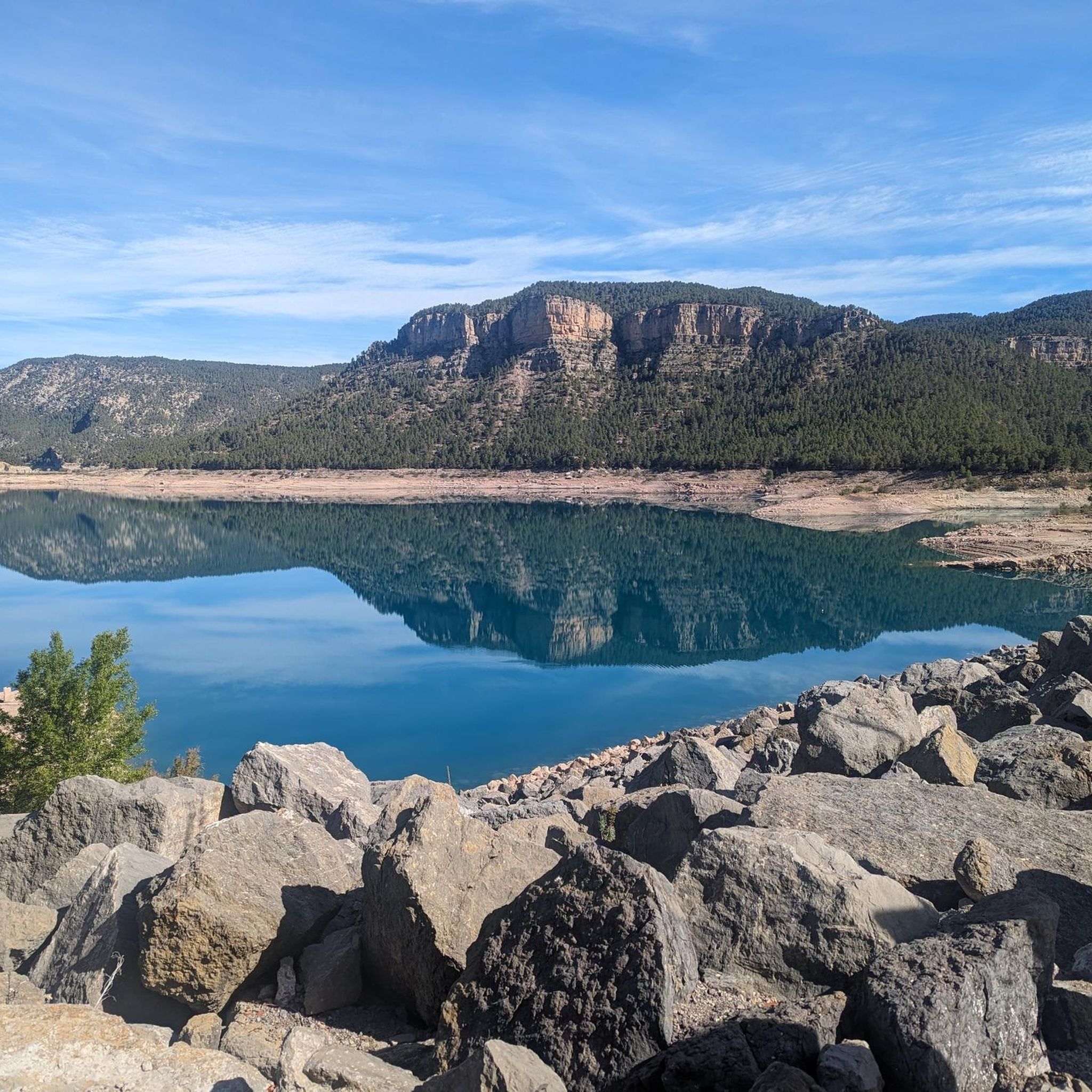
Road Cycling Routes around Montanejos
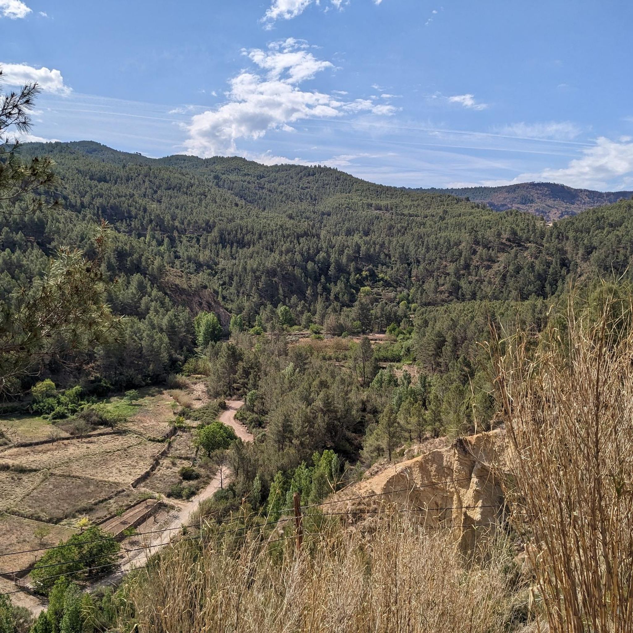
Running Trails around Montanejos
Cycling around Montanejos
Other adventures around Montanejos


Tips from the Community

Demanding stretch if done uphill from Fanzara to Montanejos. You pass through the port of Vallat, one of the most colorful and picturesque of Alto Mijares. In addition to being colorful, this section is very quiet, practically without traffic and with pavement in excellent condition.
3
0
2nd category port in the Alto Millares region. Just 3 km from Montanejos begins the ascent to the port (also a viewpoint) with ramps between 8 and 11%. It is a short section that can be climbed at a good pace to enjoy the path and the views.
2
0

Yet another port in the confines of the province of Castellón. Although the ascent to Loma el Zorro begins at the Rodeche River on the border between Teruel and Castellón, we have not yet been able to take "in situ" data of the long version (approx. 8.5 km). So today we present the short west slope that begins in the town of Cortes de Arenoso, on the Balseta bridge. As soon as you leave the town, the road gets steep and does not stop until it reaches the brown plaque located at 1,103 meters above sea level. Very constant port of ramps that reach a maximum of 7%. Wide, well-paved road with open, bare landscapes. On the way to the top we find two accesses to the hermitage of San Cristóbal, yes, they are not paved and are more recommended for visits by mountain bike. Let's go with the data of the rise. https://www.dandolotodo09.com/2020/04/puertos-loma-el-zorro-por-cortes-de.html
0
0
Second ascent in the area of Caserío de Los Molares, on the inhospitable and deserted road that joins the towns of Montanejos and Cortes de Arenoso. It could have been included as an extension of the Puerto de los Molares, but there is a considerable drop between these two climbs that makes it inadvisable. After overcoming the dilapidated Caserío de Los Molares, this ascent of less than 2 kilometers begins whose summit slightly exceeds the Puerto de los Molares in altitude. Narrow and quite broken road that winds through a very dense forest area. Abundant shade, non-existent road traffic even in August. There is a maximum ramp at 13% but very short. After crowning there is a viewpoint to the left towards the Puebla de Arenoso reservoir, the Castle and Mount Santa Bárbara. It is not recommended to travel this path in reverse with the road bike, there are many holes.
0
0
Los Molares pass, one of the hardest in the Montanejos area, as it shows an APM hardness coefficient of 85 points. Normally we cycle through the stages and after a short time, with the data collected, we carry out the altimetry and the record. In this case, 4 years have passed between data collection and office work, that is what confinement has, in the absence of pedaling, we can use the abundant data that we have collected in the last 12 years. Let's go with the details of the Puerto de los Molares, a single slope ascent that takes you towards the limit of the province of Castellón, towards the area of the town of Cortes de Arenoso along a quite hidden road. We leave Montanejos towards Cortes de Arenoso along the CV-20 road, and immediately turn right towards the CV-195, crossing the Mijares bridge. The ascent begins smoothly and with good asphalt on the road that leads to Zucaina, but that joy only lasts 1 kilometer. We turn left and we get into a totally different ascent. Narrow and somewhat bumpy road, in a very leafy forest that shelters but prevents seeing landscapes. The next 4 kilometers are not excessively hard, finding some isolated ramp at 9%. A pity about the leafiness of the forest because it is intuited that with a more open landscape there would be beautiful views of the nearby Arenoso reservoir. At kilometer 5 we find an important turning point, marked by the crossing to the Shooting Range and the Canadian pass. After that point comes a descent of half a kilometer that does not bode well. That's right, the hardness of the pass is concentrated after the descent, in the last 2 kilometers. It is the area of the last 4 horseshoes, very constant, all the time above 7-8% and with punctual ramps at 10-11-12%. The final bulletin. The last 500 meters soften. After crowning and finishing the port, there is a short descent and the ruined village of Los Molares that gives its name to this leafy and generally quite hard ascent. https://www.dandolotodo09.com/2020/04/puertos-los-molares-por-montanejos-apm.html
0
0
You can walk down from the road
0
1

To eat cirat vista and good treatment gastrobar APANEM
1
1

A beautiful bike route, especially the section over Vallat. First class asphalt, great views and little traffic
1
1
Frequently Asked Questions
What are some of the most popular mountain passes and routes around Montanejos?
Visitors frequently enjoy the Fanzara to Montanejos Scenic Route, known for its excellent pavement and scenic views through the port of Vallat. Another popular choice is the Loma El Zorro Pass (West Side), offering a constant ascent with open landscapes. For those seeking dramatic natural beauty, the Los Estrechos Trail is renowned for its river gorges and panoramic views.
Which mountain passes offer the most challenging cycling ascents in the Montanejos area?
The Los Molares Pass is considered one of the hardest, with an APM hardness coefficient of 85 points. It features a narrow, bumpy road through a dense forest, with isolated ramps up to 9% and sustained gradients of 7-8% in its final kilometers. Puerto de Artejuela also presents demanding inclines, reaching up to 12% on well-maintained roads.
Are there any mountain passes or trails with notable viewpoints?
Yes, the San Vicente de Piedrahíta Viewpoint is a 2nd category port just 3 km from Montanejos, offering excellent views. The Monte La Copa Trail rewards hikers with breathtaking views from the top, especially overlooking the Embalse de Arenoso Reservoir. Additionally, the Los Estrechos Trail provides spectacular panoramic views of the village and the scenic gorge below.
What kind of natural features can I expect to see along the mountainous routes in Montanejos?
The region is rich in natural beauty. Along the Los Estrechos Trail, you can witness dramatic gorges carved by the Mijares River, the vivid rainbow of the El Chorro Waterspout, and the intriguing Black Cave. Other trails, like Los Castillejos-Morrón de Montanejos, showcase impressive rock formations and Mediterranean vegetation, while many routes offer views of the Embalse de Arenoso Reservoir.
Are there family-friendly hiking options among the mountainous trails near Montanejos?
While some routes are challenging, the Los Estrechos Trail is described as moderate difficulty and offers stunning scenery that can be enjoyed by families. It features dramatic landscapes, river gorges, and the El Chorro Waterspout. For more options, you can explore other hiking routes in the area, such as the Hiking around Montanejos guide.
What are the best outdoor activities to do near the mountain passes in Montanejos?
Montanejos is a hub for outdoor enthusiasts. Besides cycling the mountain passes, you can enjoy various activities. Hiking is popular, with trails like Los Estrechos Trail and Monte La Copa Trail. Road cycling and mountain biking are also prominent, with numerous routes available. You can find more details in the Hiking around Montanejos, Road Cycling Routes around Montanejos, and MTB Trails around Montanejos guides.
What is the typical terrain and elevation gain like on Montanejos' mountainous routes?
The terrain varies from well-maintained, wide roads on passes like Loma El Zorro Pass (West Side) to narrower, bumpier paths through dense forests on Los Molares Pass. Elevation gains can be significant, with gradients reaching up to 12% on Puerto de Artejuela and even 13% on the Puerto de Los Molares (Second Ascent), offering challenging climbs and rewarding descents.
Are there any specific historical or cultural sites along the mountain passes or trails?
While the focus is primarily on natural landscapes and physical challenges, some routes pass by points of interest. For instance, the Loma El Zorro Pass (West Side) has accesses to the hermitage of San Cristóbal, though these are unpaved. The Puerto de Los Molares (Second Ascent) offers a viewpoint towards the ruined village of Los Molares and the Castle of Montanejos.
What is the best time of year to visit Montanejos for mountain pass cycling and hiking?
The region offers rewarding experiences for outdoor enthusiasts throughout much of the year. While specific seasonal advice isn't provided, the presence of leafy forests and open landscapes suggests that spring and autumn would offer pleasant temperatures and vibrant scenery. Winter conditions might vary, especially on higher, more exposed passes, so checking local conditions is advisable.
Where can I find more information about hiking trails in Montanejos?
For more detailed information on hiking trails, including their difficulty and features, you can refer to the Hiking around Montanejos guide. Additionally, the official tourism website for the area, visitmontanejos.com, provides further details on nature and hiking trails.
What do visitors appreciate most about the mountain passes and trails in Montanejos?
Visitors consistently praise the challenging ascents, scenic vistas, and natural wonders of the region. The quiet sections with excellent pavement and little traffic on routes like the Fanzara to Montanejos Scenic Route are highly valued. The dramatic landscapes, river gorges, and panoramic views found on trails like Los Estrechos also receive high acclaim from the community.
Most popular attractions around Montanejos

Get inspired with the komoot mobile app


Explore more
See even more epic mountain passes by checking out these guides around Montanejos:
