Top 18 Natural Monuments around La Huerce
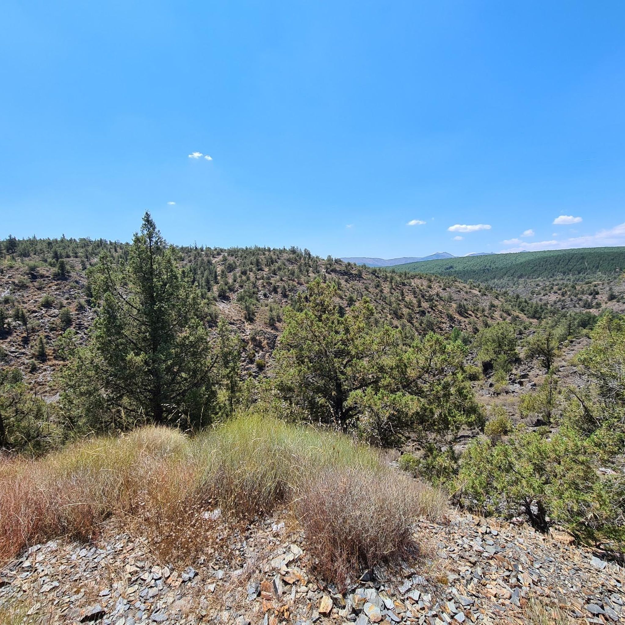
Best natural monuments around La Huerce are situated within the Sierra Norte de Guadalajara Natural Park, a protected area recognized for its diverse ecosystems and significant geological formations. This region features a landscape of ridges, valleys, and canyons, shaped by slate, quartzite, and gneiss formations. The area offers opportunities to experience untouched natural beauty and observe diverse wildlife. It provides numerous hiking opportunities for various fitness levels.
Best natural monuments around La Huerce
- The most popular natural monument is Pico…
Last updated: July 1, 2026
Pico Ocejón
Highlight • Summit
Translated by Google •
Tip by

Despeñalagua Waterfall
Highlight • Waterfall
Translated by Google •
Tip by
Sign up now to discover places like this
Get recommendations on the best single tracks, peaks, & plenty of other exciting outdoor places.
Sign up for free
Climbing area
Highlight • Climb
Translated by Google •
Tip by
Enchanted City of Tamajón
Highlight • Natural Monument
Translated by Google •
Tip by

The ridge meadow
Highlight • Mountain Pass
Translated by Google •
Tip by
Sign up for free to discover even more natural monuments around La Huerce.
Sign up for free
Already have an account?
Start today with a free account
Your next adventure awaits.
Login or Signup

Tips from the Community

In Tamajón, an excellent option for novice climbers is the Enchanted City of Tamajón. This area is known for its limestone rock formations and offers several bouldering routes accessible to beginners. Most routes have an average height of 5 meters, making them ideal for beginners. In addition, the area is very picturesque and provides a safe and pleasant environment for climbing.
4
0
The most popular route to ascend Pico Ocejón begins in Valverde de los Arroyos and is known for its scenic beauty and moderate difficulty. The hike is approximately 14.74 km and typically takes around 6 hours with stops. Along the way, hikers can enjoy spectacular views and the rich biodiversity of the area.
6
0

The climb is hard, but it is worth it. Although we were not lucky enough to see all the scenery that should be seen from that height. The descent is almost harder than the ascent.
1
0
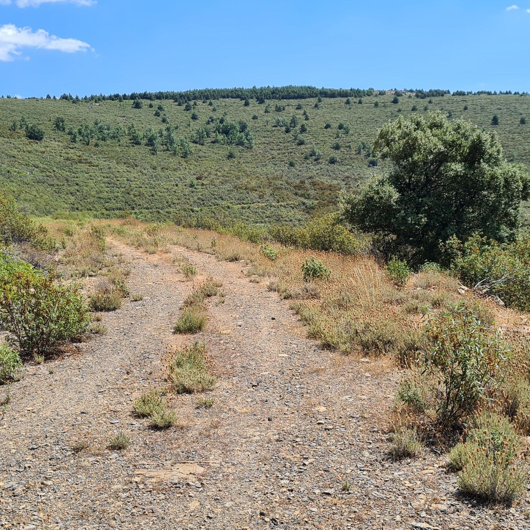
The ridge meadow in Majaelrayo is a very popular hiking route in the Sierra Norte de Guadalajara, Castilla-La Mancha. This route is known for its impressive views and its connection to Pico Ocejón, one of the highest peaks in the area at 2,049 meters above sea level.
4
0
At 2049 metres above sea level, it is one of the highest and most popular peaks for hiking in the region. There are several routes to climb Pico Ocejón, the most common being those starting from Majaelrayo and Valverde de los Arroyos. Both routes offer stunning landscapes and the opportunity to enjoy nature at its best.
6
0
The Chorreras de Despeñalagua are an impressive set of waterfalls located in the Chorrera stream, a tributary of the Sorbe river, on the northern slope of the Ocejón peak near Valverde de los Arroyos. The waterfall has a height of about 120 meters and flows throughout the year, especially during the thaw season. In winter, frost is often found, which adds a magical touch to the landscape. The route to visit the Chorreras de Despeñalagua is simple and suitable for the whole family. The path, approximately 4.5 km, offers spectacular views and allows you to explore the streets and buildings of Valverde de los Arroyos. Also, on the way to the town, you will pass through other charming black towns such as Palancares, Almiruete and Tamajón. Definitely a destination worth exploring! 😊
8
0

More than a climbing area, it is a learning and training area. They are not high cliffs or difficult areas. There are enough places to choose from and not do the same thing every day.
1
0
Eroded rocks with shapes of great beauty.
1
0
Frequently Asked Questions
What are some of the most popular natural monuments to visit near La Huerce?
The region around La Huerce, within the Sierra Norte de Guadalajara Natural Park, offers several remarkable natural monuments. Among the most popular are Pico Ocejón, a prominent peak offering spectacular views, and the Despeñalagua Waterfall, a series of impressive cascades near Valverde de los Arroyos. Another unique site is the Enchanted City of Tamajón, known for its fascinating limestone rock formations.
Are there family-friendly natural monuments around La Huerce?
Yes, several natural monuments are suitable for families. The Despeñalagua Waterfall near Valverde de los Arroyos is particularly family-friendly, with an easy 4.5 km path. The Climbing area in Tamajón also offers beginner-friendly bouldering routes, ideal for introducing children to climbing in a safe environment.
What kind of hiking trails can I find near these natural monuments?
The area provides diverse hiking opportunities. For a challenging ascent with panoramic views, consider the routes to Pico Ocejón, which can take around 6 hours. For a more relaxed, family-friendly walk, the path to the Despeñalagua Waterfall is ideal. The region also features parts of the GR 60, such as the route passing through The ridge meadow in Majaelrayo. You can find more hiking options in the Running Trails around La Huerce guide.
What is the best time of year to visit the natural monuments near La Huerce?
Spring and autumn are generally the best times to visit. During spring, the waterfalls like Despeñalagua have abundant water flow, and the landscape is lush. Autumn offers pleasant temperatures for hiking and beautiful fall colors. While winter can present a unique sight with partially frozen cascades, some higher routes like Pico Ocejón may require specific equipment due to snow.
Are there any permits required for hiking in the Sierra Norte de Guadalajara Natural Park?
Generally, permits are not required for general hiking on established trails within the Sierra Norte de Guadalajara Natural Park. However, for specific protected areas or activities, such as visiting the Hayedo de Tejera Negra Natural Park (a UNESCO World Heritage site within the broader park), booking or permits may be necessary, especially during peak seasons. It's always advisable to check local regulations before your visit.
Can I bring my dog to the natural monuments and trails?
Many trails within the Sierra Norte de Guadalajara Natural Park are dog-friendly, but specific rules may apply, especially regarding leashing. It's crucial to keep dogs under control to protect wildlife and ensure the safety of other visitors. Always check for specific signage at trailheads or within particular natural monuments for any restrictions. For example, some highly sensitive areas or nature reserves might have stricter regulations.
What unique geological formations can I see near La Huerce?
The region is rich in geological diversity. The Enchanted City of Tamajón is a prime example, featuring limestone rock formations with caves, cavities, rock arches, and sinkholes, all eroded into shapes of great beauty. The Sierra Norte de Guadalajara Natural Park itself is characterized by striking landscapes of ridges, valleys, and canyons, shaped by slate, quartzite, and gneiss formations.
What other outdoor activities are available near the natural monuments?
Beyond hiking, the area around La Huerce offers various outdoor activities. You can explore numerous cycling routes, ranging from easy to difficult, as detailed in the Cycling around La Huerce guide and the Road Cycling Routes around La Huerce guide. The Climbing area in Tamajón also provides opportunities for bouldering, especially for beginners.
How can I get to Valverde de los Arroyos, a village near some natural monuments?
Valverde de los Arroyos is accessible by car, and there is parking available. Public transport options from Guadalajara to Valverde de los Arroyos exist, though they may be limited. It's recommended to check current bus schedules in advance for the most up-to-date information on routes and timings.
Are there places to eat or drink near the natural monuments?
Yes, villages like Valverde de los Arroyos, which is a gateway to the Despeñalagua Waterfall, offer cafes and pubs. Tamajón, near the Enchanted City, also has options for refreshments. These traditional 'black towns' provide a charming setting to enjoy local cuisine after exploring the natural attractions.
What is the difficulty level for climbing <a href="https://www.komoot.com/highlight/5431320" target="_blank" rel="noopener">Pico Ocejón</a>?
The ascent to Pico Ocejón is considered a challenging hike, typically taking around 6 hours. Routes starting from Majaelrayo and Valverde de los Arroyos are popular. While offering spectacular views, hikers should be prepared for significant elevation gain and varying terrain. It's recommended for those with moderate to good fitness levels.
What is the 'Black Architecture' region, and how does it relate to the natural monuments?
The 'Black Architecture' region refers to traditional villages built with dark slate and quartzite, characteristic of the Sierra Norte de Guadalajara. Many of these picturesque villages, such as Valverde de los Arroyos and Majaelrayo, serve as starting points or are located near the natural monuments, offering a unique cultural backdrop to the natural beauty of the area. Exploring these villages is often part of the experience when visiting the natural sites.
Most popular attractions around La Huerce

Get inspired with the komoot mobile app


Explore more
Extend your search for the best caves by checking out these guides of the top ones around La Huerce:
