Top 5 Mountain Passes around Formiche Alto
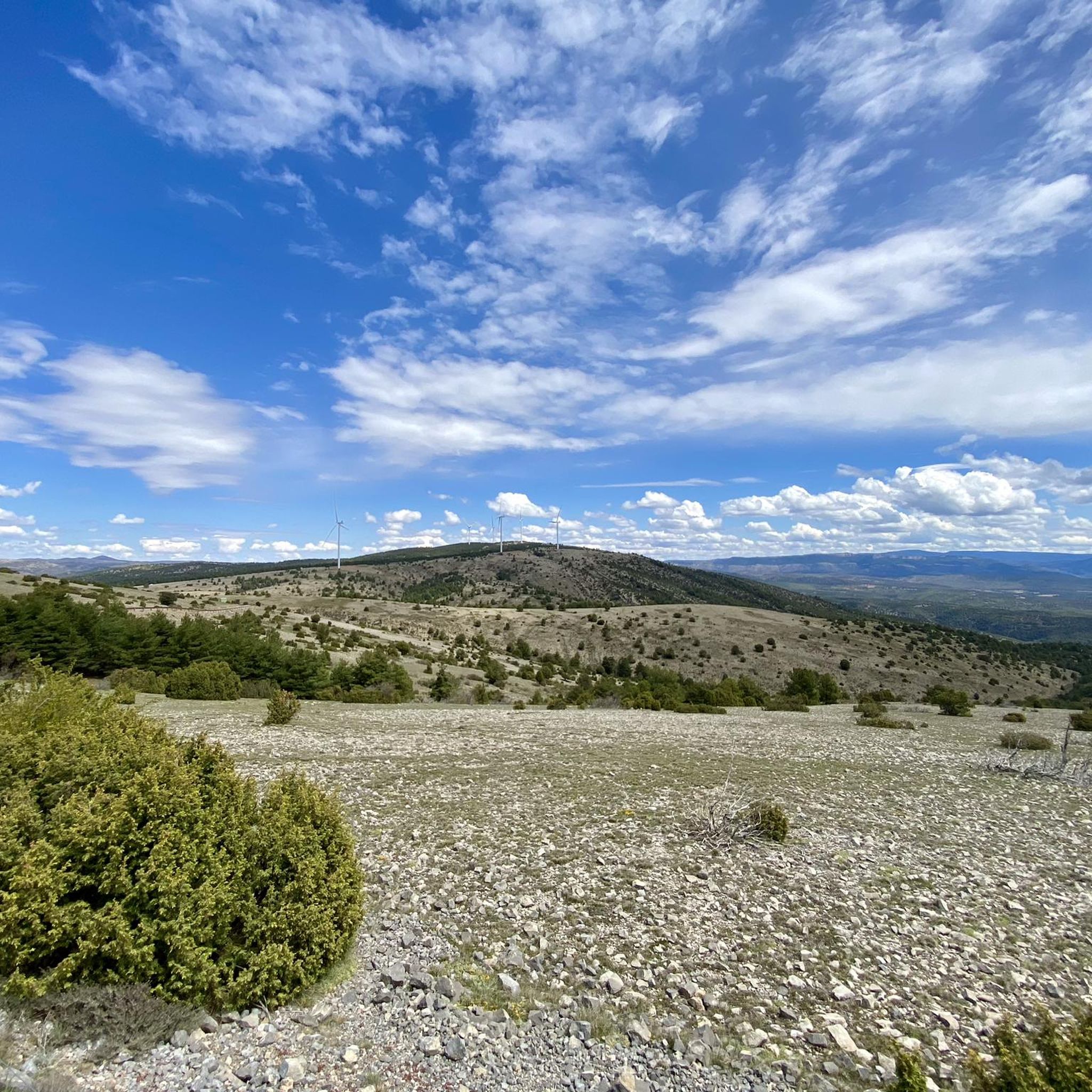
Best mountain passes around Formiche Alto are found in a charming mountain village situated at 1,000 meters of altitude. The area offers tranquility, natural sports, and clean air, characterized by historical stone houses and the beautiful Mijares River. While traditional mountain passes are present, the region is also known for adventurous routes like the Vía Ferrata Estrechos de la Hoz, which explores river narrows and caves. This mountainous terrain provides diverse opportunities for outdoor exploration.
Best mountain passes around Formiche…
Last updated: July 15, 2026
Final stretch of the Escandón pass
Highlight (Segment) • Cycleway
Translated by Google •
Tip by

Puerto de Cabigordo top of the col sign.
Highlight • Mountain Pass
Translated by Google •
Tip by

Sign up now to discover places like this
Get recommendations on the best single tracks, peaks, & plenty of other exciting outdoor places.
Sign up for free
Mountain pass from Cedrillas to Ababuj
Highlight • Mountain Pass
Tip by

Puerto Javalambre (from La Puebla de Valverde)
Highlight (Segment) • Mountain Pass
It has a length of 21.8 kilometers and an ascent of 744 vertical meters with a slope of 3.41% on average.
Translated by Google •
Tip by

Puerto de San Rafael (from Mora de Rubielos)
Highlight (Segment) • Mountain Pass
It has a length of 13.7 kilometers and an ascent of 535 vertical meters with …
Translated by Google •
Tip by
Start today with a free account
Your next adventure awaits.
Login or Signup


Other adventures around Formiche Alto

Tips from the Community


Puerto Javalambre from La Puebla de Valverde is a climb in the Aragón region. It has a length of 21.8 kilometers and an ascent of 744 vertical meters with a slope of 3.41% on average. The summit of the climb is located at 1,854 meters above sea level right at the entrance to the Javalambre Ski Resort. Recommended, continue climbing to Javalambre Peak (2,020 meters above sea level)
1
0
Puerto de San Rafael from Mora de Rubielos is a climb in the Aragón region. It has a length of 13.7 kilometers and an ascent of 535 vertical meters with a slope of 3.9% on average, which implies a difficulty level of 312. The summit of the climb is located at 1560 meters above sea level
1
0

Port with a very beautiful final spot, hard at certain times due to the sun, there are no shadows or fountains. The descent has slightly deteriorated areas, you have to be attentive to the asphalt. Mountain pass with a very beautiful alpine landscape. It is a short mountain pass, it can be hard at certain times due to the sun, there are no shadows or sources. The descent has slightly deteriorated areas, you have to pay attention to the asphalt.
0
0

We are facing a long port, with 3 ascent areas, among which 2 flat or descent areas are interspersed. We have the most complicated part at the end with 4 kilometers at 8% on average, although from kilometer 5 to 7 it will also require effort with ramps of 7 and 8%. http://www.puertos-en-bici.com/2013/07/puerto-de-cabigordo_5658.html
1
0

Road in good condition but very hot in summer and cold in winter, with the occasional chance of snow at the top. There are no fountains for a long stretch so stock up well before heading out.
1
1

It is the longest greenway in Spain with more than 200 kilometers in length, from Ojos Negros to Sagunto. Currently, 167 kilometers are conditioned. It is the section that goes from Santa Eulalia del Campo to Algimia de Alfara. The route only has one pass and is, for the most part, following a long descent, if you start from the interior. The route is full of tunnels, bridges, ravines and curious formations. In addition to other landscape surprises.
4
1

It is possible to get to the Mediterranean following this 200km green-way
3
0
Frequently Asked Questions
What are some unique mountain passes or adventurous routes to explore near Formiche Alto?
Beyond traditional passes, Formiche Alto is known for adventurous routes like the Vía Ferrata Estrechos de la Hoz, which explores river narrows and caves along the Mijares River. You can also find traditional mountain passes such as the Final stretch of the Escandón pass, part of Spain's longest greenway, offering a long descent with tunnels and bridges.
Are there challenging mountain passes for experienced cyclists or hikers?
Yes, for cyclists, the Puerto de Cabigordo top of the col sign. presents a challenging climb with three distinct ascent areas, including sections averaging an 8% gradient. The Vía Ferrata Jurásica also offers a more vertical and challenging experience for those seeking an elevated climb.
What natural features can I observe while exploring the mountain passes?
The region boasts stunning natural beauty. Along the Vía Ferrata Estrechos de la Hoz, you can explore the spectacular Estrechos de la Hoz (narrows), see the unique Sabina Pinera (a juniper with a pine growing within it), and observe local wildlife such as mountain goats, griffon vultures, and golden eagles. Passes like the Mountain pass from Cedrillas to Ababuj offer wild and beautiful alpine landscapes.
Are there any historical sites or points of interest near the mountain passes?
Yes, the Vía Ferrata Estrechos de la Hoz offers opportunities to explore caves that were used by the Maquis during the Spanish Civil War, adding a historical dimension to your adventure.
What is the best time of year to visit the mountain passes around Formiche Alto?
The region can experience very hot summers and cold winters with a chance of snow at higher elevations. For routes like the Puerto de Cabigordo, it's advised to stock up on water in summer due to lack of fountains. The Mountain pass from Cedrillas to Ababuj can be hard due to sun exposure with no shadows. Spring and autumn generally offer more moderate temperatures for outdoor activities.
Are there family-friendly options for exploring the mountainous terrain?
The initial sections of the Vía Ferrata Estrechos de la Hoz are suitable for children, making it a versatile option for families looking to experience the natural landscape and adventure together. The Final stretch of the Escandón pass, as part of a greenway, also offers a generally easier cycling experience with a long descent.
What outdoor activities can I do near these mountain passes?
The area around Formiche Alto is excellent for various outdoor activities. You can find numerous routes for cycling, gravel biking, and mountain biking, catering to different difficulty levels. The Vía Ferratas also provide a unique climbing and traversing experience.
What are the typical gradients and lengths of the mountain passes in the area?
Passes vary in length and gradient. For instance, Puerto Javalambre (from La Puebla de Valverde) has a length of 21.8 kilometers with an ascent of 744 vertical meters and an average slope of 3.41%. Puerto de San Rafael (from Mora de Rubielos) is 13.7 kilometers long with a 3.9% average slope.
What do visitors appreciate most about the mountain passes around Formiche Alto?
Visitors appreciate the wild and beautiful views, the unique geological formations, and the tranquility of the alpine landscapes. The adventurous routes like the Vía Ferratas are also highly valued for their immersive experience and opportunities for wildlife observation.
Are there any specific tips for navigating the mountain passes?
For longer routes or those exposed to the sun, it's advisable to stock up on water as fountains can be scarce. Some descents might have slightly deteriorated areas, so pay attention to the asphalt. For the Vía Ferratas, be aware that while not overly difficult, some sections can be long and challenging, reaching up to one hundred meters in height.
Where can I find a picnic area near a mountain pass?
You can find a picnic area near the summit of Puerto Javalambre (from La Puebla de Valverde), which is located at 1,854 meters above sea level right at the entrance to the Javalambre Ski Resort.
Most popular routes around Formiche Alto
Most popular attractions around Formiche Alto

Get inspired with the komoot mobile app


Explore more
See even more epic mountain passes by checking out these guides around Formiche Alto:
