Top 11 Natural Monuments around Covarrubias
Best natural monuments around Covarrubias are found in a region characterized by its natural beauty and diverse landscapes. Located in the province of Burgos, Spain, Covarrubias is surrounded by areas offering opportunities for hiking and nature observation. The local geography includes river valleys, limestone formations, and extensive forests of unique tree species. This setting provides a complementary experience to the town's historical and architectural sites.
Best natural monuments around Covarrubias
- The most popular natural monuments is View of Peña de…
Last updated: July 1, 2026
Viewpoint over the Yecla Gorge
Highlight • Gorge
Translated by Google •
Tip by

Alto de Peña Alta (1078 m)
Highlight • Mountain Pass
Translated by Google •
Tip by

Sign up now to discover places like this
Get recommendations on the best single tracks, peaks, & plenty of other exciting outdoor places.
Sign up for free
View of Peña de Carazo
Highlight • Viewpoint
Translated by Google •
Tip by

El Churrión Waterfall
Highlight • Waterfall
Translated by Google •
Tip by
Castillejo
Highlight • Summit
Translated by Google •
Tip by
Sign up for free to discover even more natural monuments around Covarrubias.
Sign up for free
Already have an account?
Start today with a free account
Your next adventure awaits.
Login or Signup
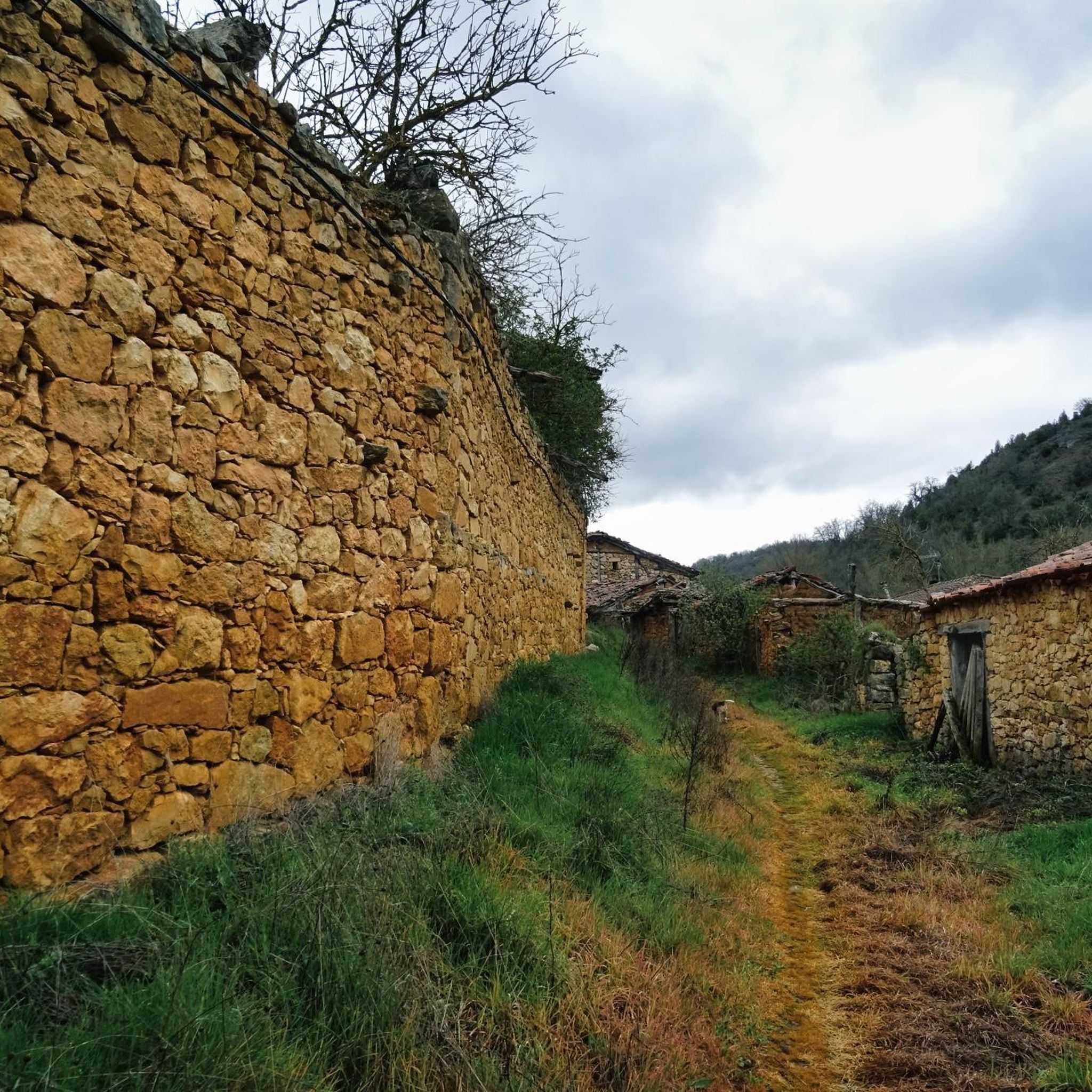

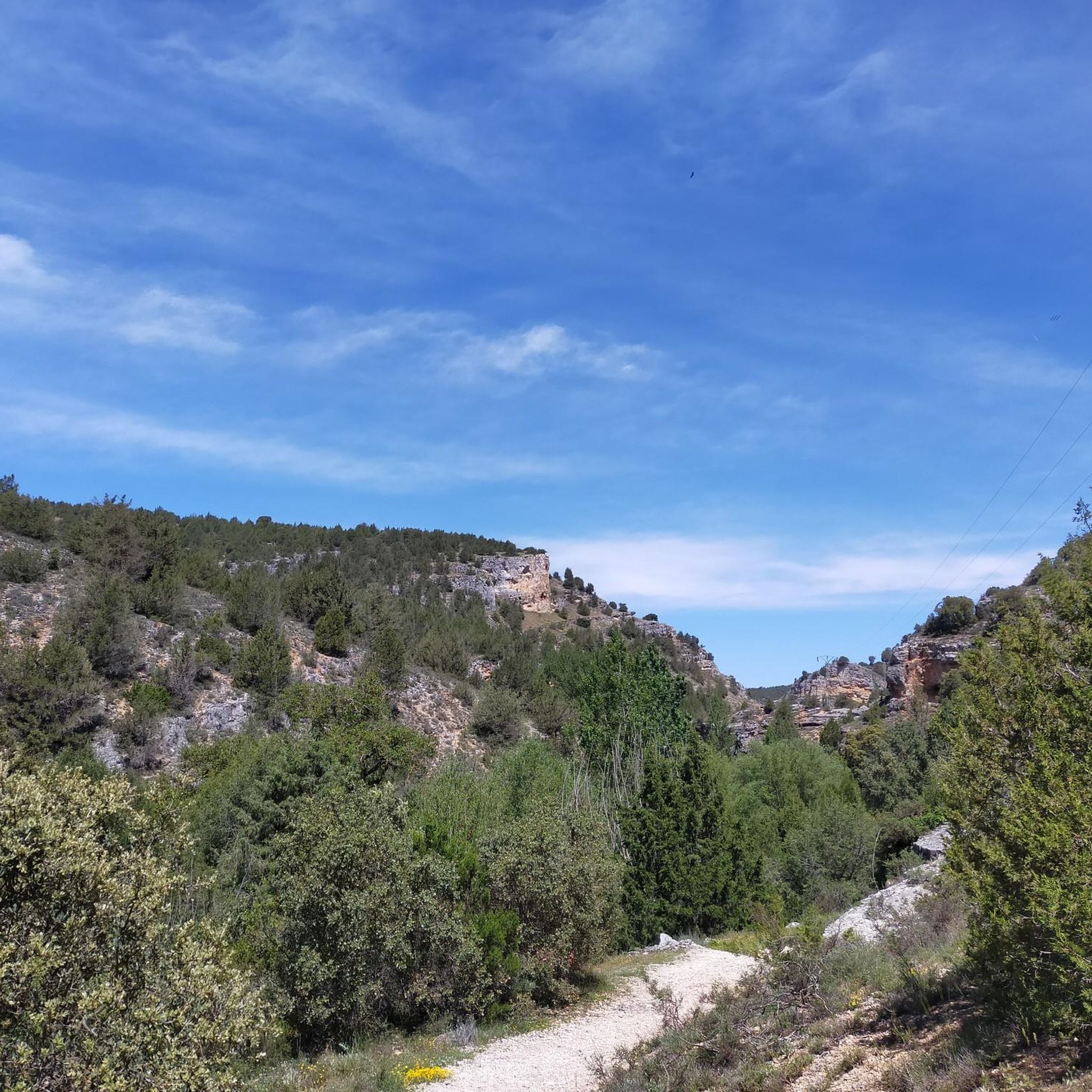

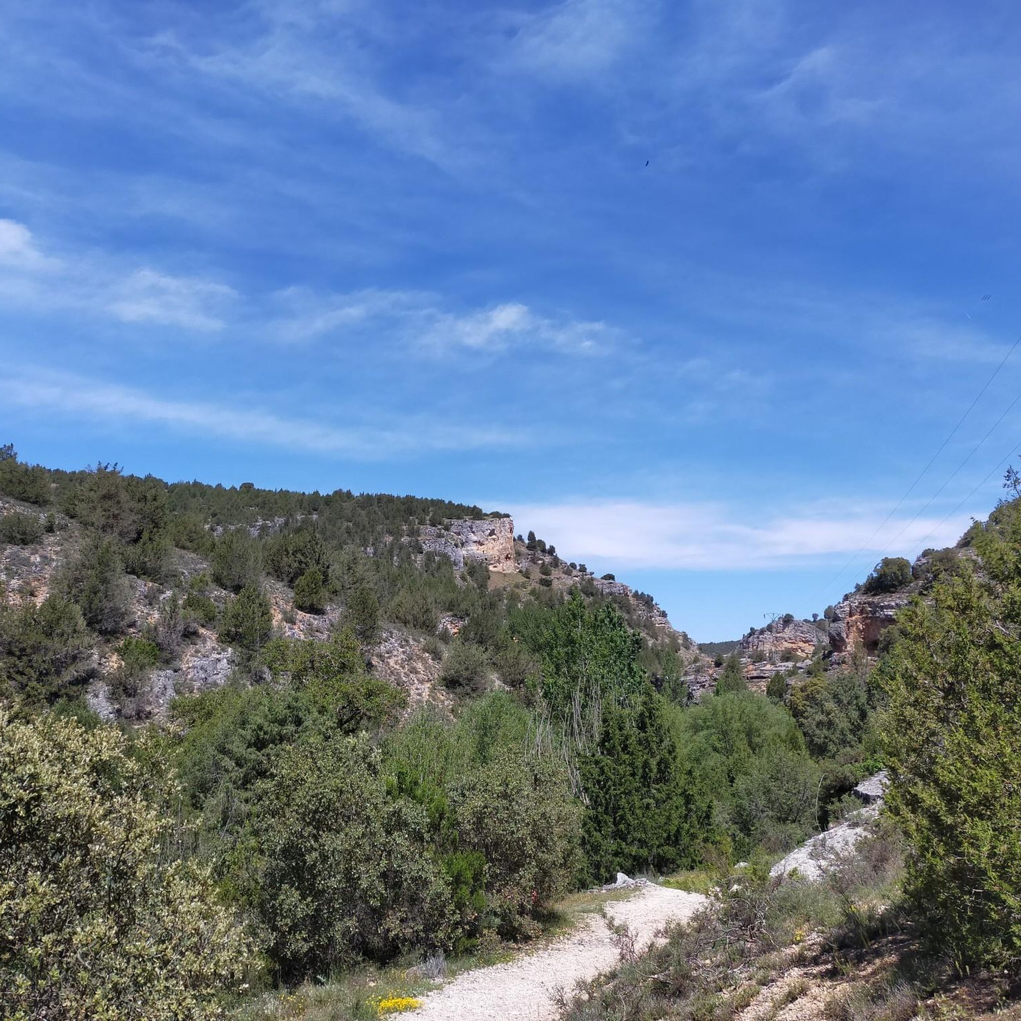

Tips from the Community

El Castillejo (1,347 m) is a twin peak located in the Sierra de las Mamblas, 5 km north of the town of Covarrubias (Burgos). It owes its name to its natural defensive rock formations. On its summit, an artificial cavity is preserved that served as a strategic watchtower. The mountain offers a spectacular panoramic view of the Arlanza valley and the Sierra de la Demanda. At its foothills lies the Hermitage of Our Lady of Mamblas (Ermita de Nuestra Señora de Mamblas). The terrain features rocky barriers that served as a defensive settlement in antiquity.
0
0

Spectacular area for hiking routes
0
0
A spectacular waterfall with dizzying walls
0
0


impressive canyon with walkways. Bikes must be left parked, they do not fit
0
0
Spectacular canyon, which can be visited via the walkways provided for this purpose. Be careful, bicycles do not fit, as it has been verified.
0
0

About three kilometers southwest of Silos lies a gorge also known as Desfiladero de la Yecla. A footpath leads through the deep cut in the limestone cliffs, whose valley floor the sun barely reaches. Colonies of griffon vultures and other birds of prey live in this adventurous landscape.
2
0
Frequently Asked Questions
What are some of the most popular natural monuments to visit around Covarrubias?
Visitors frequently enjoy the panoramic views from View of Peña de Carazo, which overlooks Santo Domingo de Silos and its surrounding limestone mountains. Another highly rated spot is Alto de Peña Alta (1078 m), offering breathtaking vistas of the Mediterranean landscape and distant peaks from within the Sabinares de Arlanza - La Yecla natural park.
Are there any family-friendly natural monuments or trails near Covarrubias?
Yes, El Churrión Waterfall is considered family-friendly, with an easy walk to reach it. The water volume can vary by season, and you might even spot deer in the area. The Mataviejas River Canyon trail also offers a pleasant, tranquil stroll suitable for families.
What kind of unique natural features can I expect to see in the Covarrubias region?
The region is known for its unique biodiversity, particularly the extensive forests of ancient Spanish juniper (sabina albar) within the Sabinares del Arlanza - La Yecla Natural Park. You can also experience impressive geological formations carved by water, such as the narrow passages of La Yecla Gorge, and riverine ecosystems along the Mataviejas River.
What outdoor activities can I do near the natural monuments around Covarrubias?
The area offers excellent opportunities for hiking, mountain biking, and running. You can explore various trails, including those in the Sabinares del Arlanza - La Yecla Natural Park. For hiking, consider routes like the Mataviejas Gorge Trail or the Sierra de las Mamblas. Mountain biking options include challenging loops like the one from Covarrubias to Alto de Peña Alta (1078 m). Find more details on these activities in the Hiking around Covarrubias, MTB Trails around Covarrubias, and Running Trails around Covarrubias guides.
Are there any natural monuments that offer spectacular viewpoints?
Absolutely. Alto de Peña Alta (1078 m) provides expansive, panoramic views of the Mediterranean landscape and distant bluish peaks. Another great spot is Castillejo, a peak known for its tower shape and stunning views of the Sierra del Mencilla and Sierra de Cervera.
What is the best time of year to visit the natural monuments in this region?
The spring and autumn months are generally ideal for visiting, as the weather is mild and pleasant for outdoor activities like hiking. During these seasons, the landscapes are vibrant, and the conditions are comfortable for exploring the forests and gorges. Summer can be warm, while winter might bring colder temperatures and potentially snow at higher elevations.
Can I bring my dog to the natural monument trails around Covarrubias?
Many natural trails in the region are dog-friendly, allowing you to enjoy the outdoors with your pet. It's always advisable to keep dogs on a leash, especially in natural parks like Sabinares del Arlanza - La Yecla, to protect wildlife and ensure a pleasant experience for all visitors. Check local signage for specific regulations.
What is the highest point I can reach among the natural monuments?
The highest point mentioned is Alto de la Cabeza Summit, which stands at 1343 meters high. It is the highest point in the Ribera del Duero and is crowned by a metal cross, offering significant elevation and views.
Are there any specific natural parks or protected areas I should know about?
Yes, the most significant protected area is the Sabinares del Arlanza - La Yecla Natural Park. This park is renowned for its extensive and ancient Spanish juniper forests, which are ecologically unique. Within this park, you'll find features like Alto de Peña Alta (1078 m) and the captivating La Yecla Gorge.
What are some of the geological highlights in the area?
The La Yecla Gorge is a prime example of the region's geological interest, showcasing impressive formations carved by water erosion over time. The surrounding mountains, particularly those visible from View of Peña de Carazo, are characterized by limestone rocks, contributing to the unique landscape.
What should I bring when visiting the natural monuments around Covarrubias?
When exploring the natural monuments, it's recommended to bring appropriate footwear for hiking, sufficient water, sun protection (hat, sunscreen), and layers of clothing as weather can change. Binoculars can enhance wildlife spotting and enjoying distant views from viewpoints like Alto de Peña Alta (1078 m).
Most popular routes around Covarrubias
Most popular attractions around Covarrubias

Get inspired with the komoot mobile app


Explore more
Extend your search for the best caves by checking out these guides of the top ones around Covarrubias:
