Top 7 Natural Monuments around Cabeza Alta
Best natural monuments around Cabeza Alta are characterized by a diverse landscape of mountains, valleys, and river gorges. The region features limestone rock formations, forests of holm oaks, junipers, and pines, and rivers like the Mataviejas and Arlanza. These natural features offer opportunities to experience the local geology and ecosystems. The area provides various viewpoints and trails for exploring its natural beauty.
Best natural monuments around Cabeza Alta
- The most popular natural monument is View of Peña de Carazo,…
Last updated: July 1, 2026
Viewpoint over the Yecla Gorge
Highlight • Gorge
Translated by Google •
Tip by

View of Peña de Carazo
Highlight • Viewpoint
Translated by Google •
Tip by

Sign up now to discover places like this
Get recommendations on the best single tracks, peaks, & plenty of other exciting outdoor places.
Sign up for free
Peñas del Tuero Viewpoint
Highlight • Viewpoint
Translated by Google •
Tip by

Cerro San Cristóbal
Highlight • Summit
Translated by Google •
Tip by

Enraizados Forest
Highlight • Forest
Translated by Google •
Tip by

Sign up for free to discover even more natural monuments around Cabeza Alta.
Sign up for free
Already have an account?
Start today with a free account
Your next adventure awaits.
Login or Signup


Tips from the Community

impressive canyon with walkways. Bikes must be left parked, they do not fit
0
0
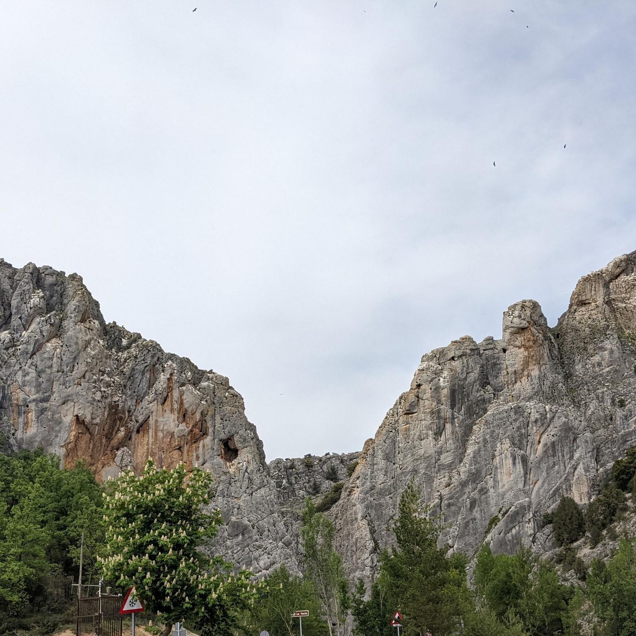
Spectacular canyon, which can be visited via the walkways provided for this purpose. Be careful, bicycles do not fit, as it has been verified.
0
0

About three kilometers southwest of Silos lies a gorge also known as Desfiladero de la Yecla. A footpath leads through the deep cut in the limestone cliffs, whose valley floor the sun barely reaches. Colonies of griffon vultures and other birds of prey live in this adventurous landscape.
2
0

The gorge is nice to walk through since some walls have a verticality of 50m and we can also see vultures. The walk to Santo Domingo runs along a track with no problems for both walking and cycling except for the gorge itself.
2
1

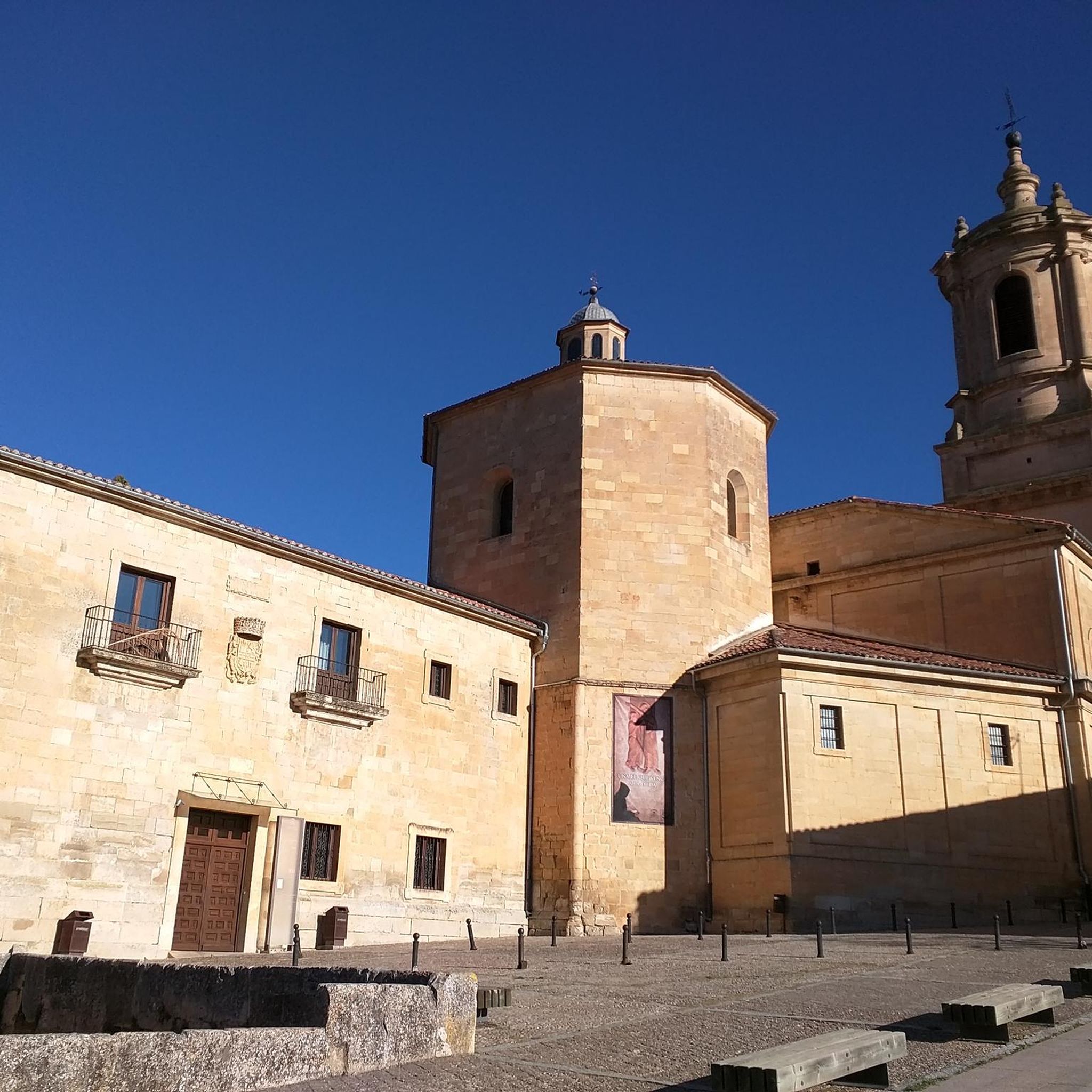
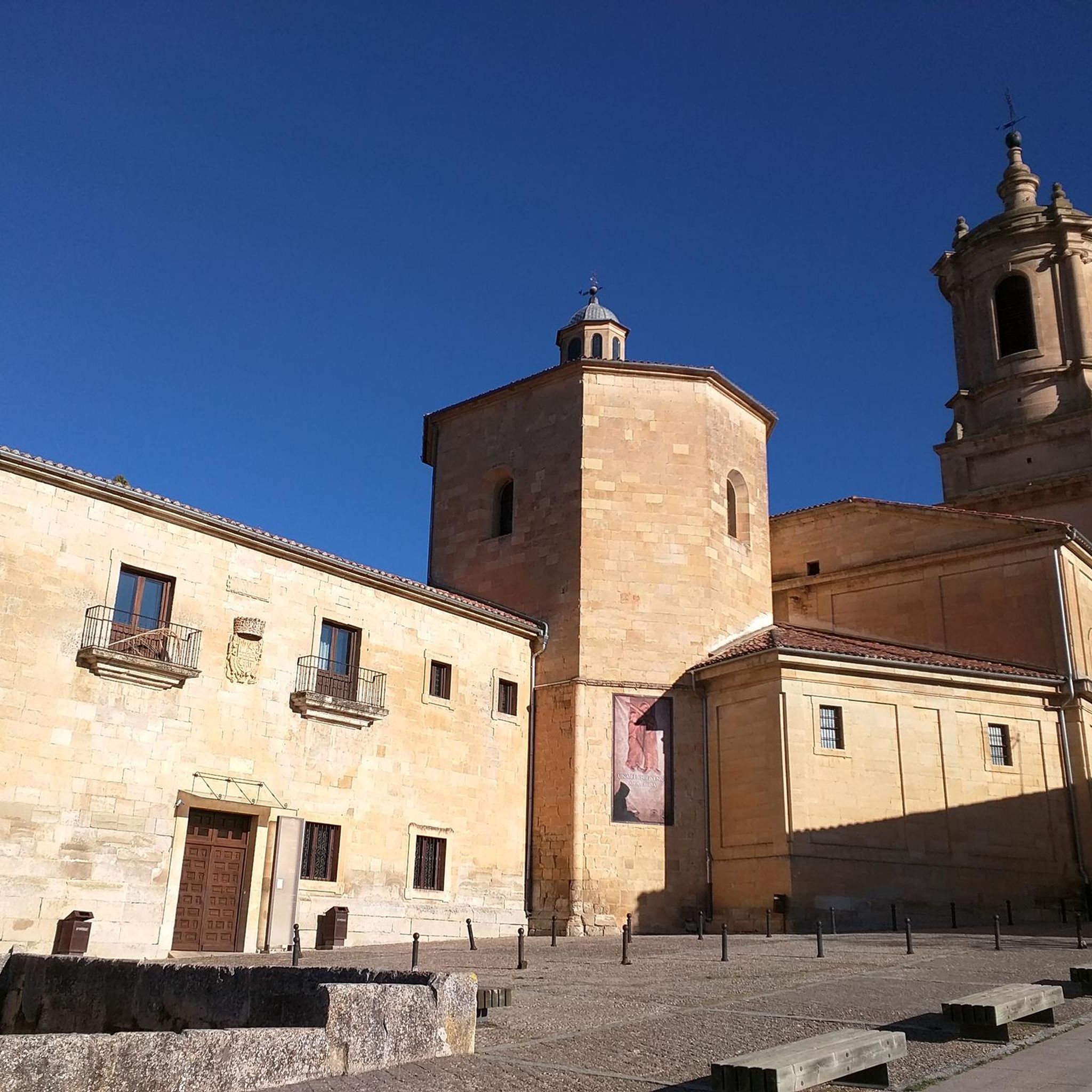
Santo Domingo de Silos is a town and a monastery of Benedictine monks, located in the mountains of the southeast of the province of Burgos, 57 kilometers from the capital. The town and monastery are located in the eastern part of the Tabladillo valley, at 1000 meters above sea level and surrounded by high mountains of limestone rocks, sparsely covered with holm oaks, junipers, eskenes and pines.
8
0

Wonderful gorge through which a path has been built. You can almost always see vultures on the rocks high up.
5
0

The La Yecla Gorge and the Sabinares del Arlanza constitute one of the most attractive places in the province of Burgos. This Natural Park is located on the southwest slope of the Sierra de la Demanda.
0
0
Once you leave the Río Arlanza and reach the Peñas del Tuero, from where you can see the entire Valle del Arlanza. The panorama is spectacular.
0
0
Frequently Asked Questions
What are the most popular natural monuments to visit around Cabeza Alta?
Among the most popular natural monuments, visitors frequently highlight the View of Peña de Carazo, which offers stunning views of limestone rock formations. Another favorite is La Yecla Gorge, known for its unique rock formations carved by water erosion. The Peñas del Tuero Viewpoint is also highly regarded for its panoramic views of the Arlanza Valley and as a perch for griffon vultures.
What kind of natural features can I expect to see around Cabeza Alta?
The region around Cabeza Alta is characterized by a diverse landscape featuring limestone rock formations, deep gorges carved by water erosion, and extensive forests of holm oaks, junipers, and pines. You'll also find rivers like the Mataviejas and Arlanza, contributing to the area's varied ecosystems and geological beauty. Highlights include dramatic viewpoints and unique geological formations.
Are there family-friendly natural monuments or activities in the area?
Yes, La Yecla Gorge is noted as a family-friendly natural monument. Its unique rock formations and accessible trails make it suitable for visitors of all ages to explore the effects of water erosion over thousands of years.
What outdoor activities can I do near these natural monuments?
The area around Cabeza Alta offers a variety of outdoor activities. You can explore numerous routes for gravel biking, running, and cycling. For example, there are challenging gravel biking routes like the 'Historic Center of Covarrubias – Sad Hill Cemetery loop' and scenic running trails such as the 'Desfiladero de La Yecla y Monasterio de Santo Domingo de Silos' loop. Cycling enthusiasts can enjoy routes like 'Camino del Cid: The Exile Trail'. You can find more details on these activities in the dedicated guides for Gravel biking around Cabeza Alta, Running Trails around Cabeza Alta, and Cycling around Cabeza Alta.
Are there specific hiking trails or short walks recommended for beginners?
While specific beginner-level hiking trails are not detailed for each monument, many natural monuments, especially viewpoints and gorges, often have accessible paths for shorter walks. For example, the path leading to Peñas del Tuero Viewpoint involves a climb through oak trees, offering a rewarding experience. For more structured routes, consider exploring the running guides which often include moderate-difficulty trails suitable for walking, such as the 'La Yecla Gorge – View of Peña de Carazo loop from Santo Domingo de Silos' found in the Running Trails around Cabeza Alta guide.
What are the best viewpoints to experience the natural beauty of the region?
The region is rich in spectacular viewpoints. The View of Peña de Carazo offers impressive vistas of the limestone mountain. For panoramic views of the entire Arlanza Valley, the Peñas del Tuero Viewpoint is highly recommended. Additionally, Cerro San Cristóbal, as the highest mountain in the Sierra de Covarrubias, provides another excellent vantage point.
Are there any unique forests or ecological initiatives to see?
Yes, the Enraizados Forest is a notable initiative in the area. It's a beautiful project that honors former farmers and residents of the region by giving faces to the forests of the Sierra de Covarrubias, preserving their memory and connection to the land.
What historical or cultural insights can I gain while visiting these natural monuments?
While the natural monuments themselves are primarily geological and ecological, the surrounding area has a rich history. For instance, the town of Santo Domingo de Silos, near the View of Peña de Carazo, is home to a historic Benedictine monastery. The region's landscape, with its ancient forests and river valleys, has been shaped by human interaction for centuries, as evidenced by initiatives like the Enraizados Forest which commemorates local heritage.
What is the best season to visit the natural monuments around Cabeza Alta?
The guide data does not specify a 'best' season, but it mentions that Cerro San Cristóbal is covered with snow in the winter months due to its height and continentality. This suggests that spring and autumn might offer pleasant temperatures for exploration, while winter provides a different, snow-covered landscape for higher elevations. Summer would likely be warm and dry, ideal for early morning or late afternoon visits.
What should I wear when hiking or exploring the natural monuments?
Given the diverse landscape of mountains, gorges, and forests, it's advisable to wear appropriate hiking attire. This includes sturdy hiking shoes for varied terrain, layers of clothing to adapt to changing temperatures, and protection from the sun. If visiting in winter, especially at higher elevations like Cerro San Cristóbal, be prepared for snow and colder conditions.
Are there any hidden natural gems or less-known spots worth discovering?
While the guide highlights popular spots, the region's extensive natural beauty suggests many hidden corners. The Enraizados Forest, with its unique initiative, could be considered a hidden gem for those interested in local heritage and ecological projects. Exploring the paths between the well-known viewpoints and gorges often reveals quieter, equally beautiful natural settings.
Most popular routes around Cabeza Alta
Most popular attractions around Cabeza Alta

Get inspired with the komoot mobile app


Explore more
Extend your search for the best caves by checking out these guides of the top ones around Cabeza Alta:
