Top 7 Mountain Passes around Puerto De Béjar
Best mountain passes around Puerto De Béjar are found within the Sierra de Béjar mountain range, part of the Central System of the Iberian Peninsula. This region features diverse high-altitude areas and passes, serving as a crucial point on the historic Vía de la Plata. The landscape offers scenic beauty and various recreational opportunities for outdoor activities. The area is known for its challenging routes for cyclists and hikers.
Best mountain passes around Puerto De Béjar
- The most popular mountain…
Last updated: July 1, 2026
Honduras Pass
Highlight (Segment) • Mountain Pass
Translated by Google •
Tip by

Hell's Pass
Highlight • Climb
Translated by Google •
Tip by

Sign up now to discover places like this
Get recommendations on the best single tracks, peaks, & plenty of other exciting outdoor places.
Sign up for free
Hoya Moros
Highlight • Natural Monument
Translated by Google •
Tip by

Travieso Pass
Highlight • Mountain Pass
Translated by Google •
Tip by

Collado de las Angosturas
Highlight • Mountain Pass
Translated by Google •
Tip by

Sign up for free to discover even more mountain passes around Puerto De Béjar.
Sign up for free
Already have an account?
Start today with a free account
Your next adventure awaits.
Login or Signup

Tips from the Community

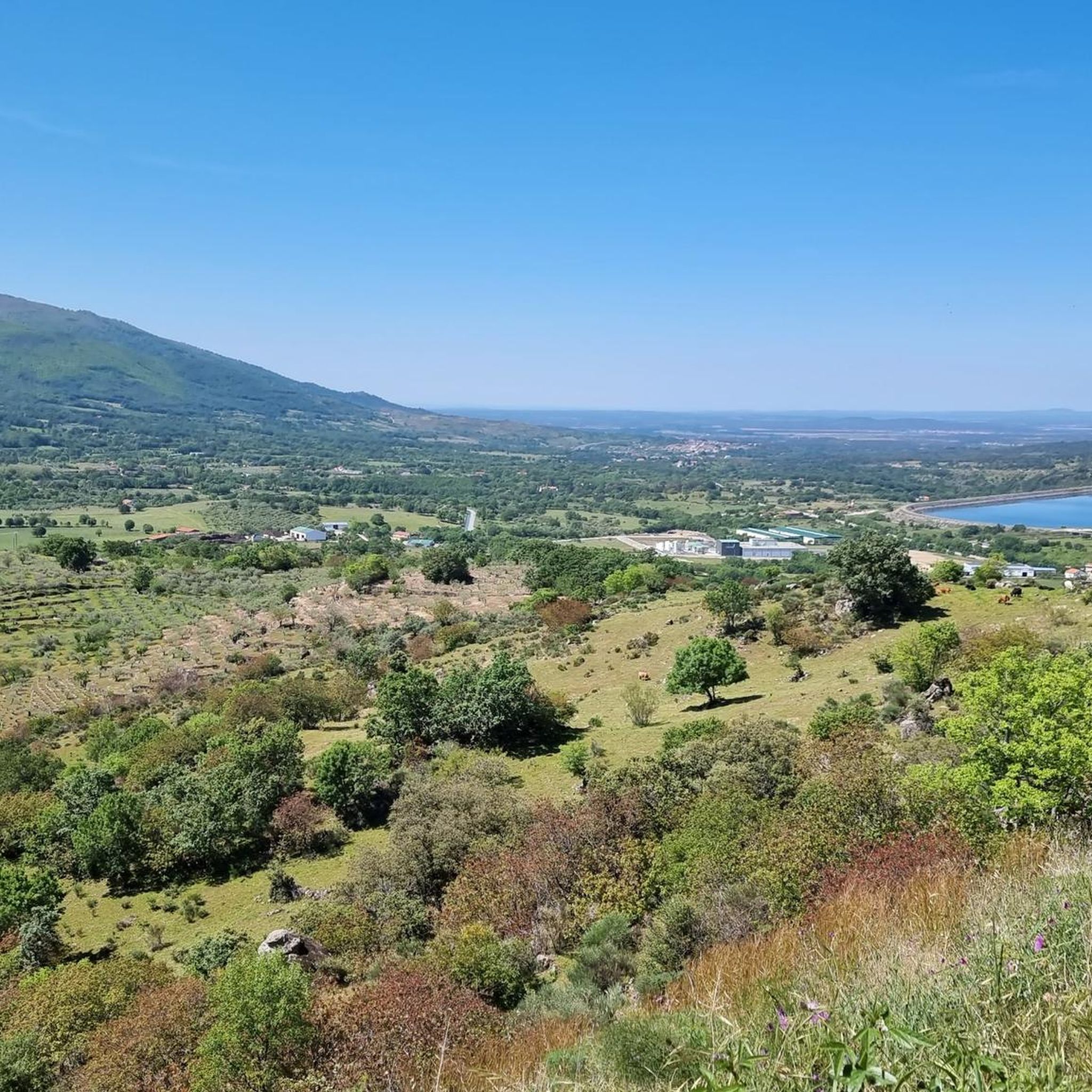
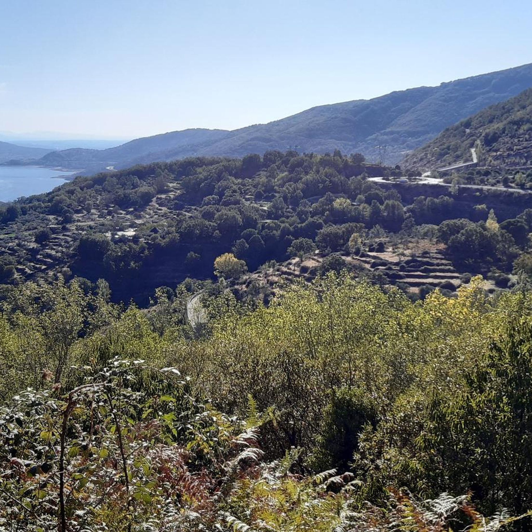
17 kilometers of mountain pass (on both sides, Ambroz Valley from Hervás or Jerte Valley from Cabezuela del Valle). From Cabezuela del Valle, the first 12 kilometers average an average gradient of 7%, with some 10% gradients, and from the 12th kilometer onward, there are some rest stops with wonderful views. This side has a gradient of approximately 900 meters, up to 1,430 meters.
0
0

Very steep climb of about 15 km (4% on average with some sections at 7%). The asphalt is good and with many trees that provide pleasant shade on hot days.
0
0

Beautiful port between the Ambroz Valley and the Jerte Valley with a constant slope of about 6%
0
0

At a distance of just 2 km from the Collado de Los Buitres mountain pass, a good area to enjoy nature and breathe fresh air.
7
0

Spectacular views from this mountain pass. The Port of Honduras is located at 1440 meters above sea level on the CC-120 highway. The ascent from Hervás has about 17km gaining 920m with an average gradient of 5.2%
1
0

Altimetry: El Alto del Travieso is a port with very constant slopes and hardly any rest. In fact, we have 11 km with average inclines greater than 7%, although we will not find double-digit inclines on average. This is a tough climb, but without a maximum level of demand, which I consider highly recommendable.
0
0

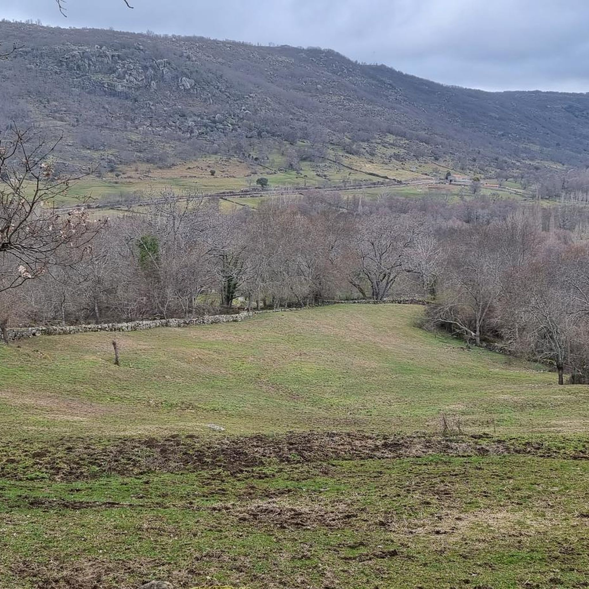
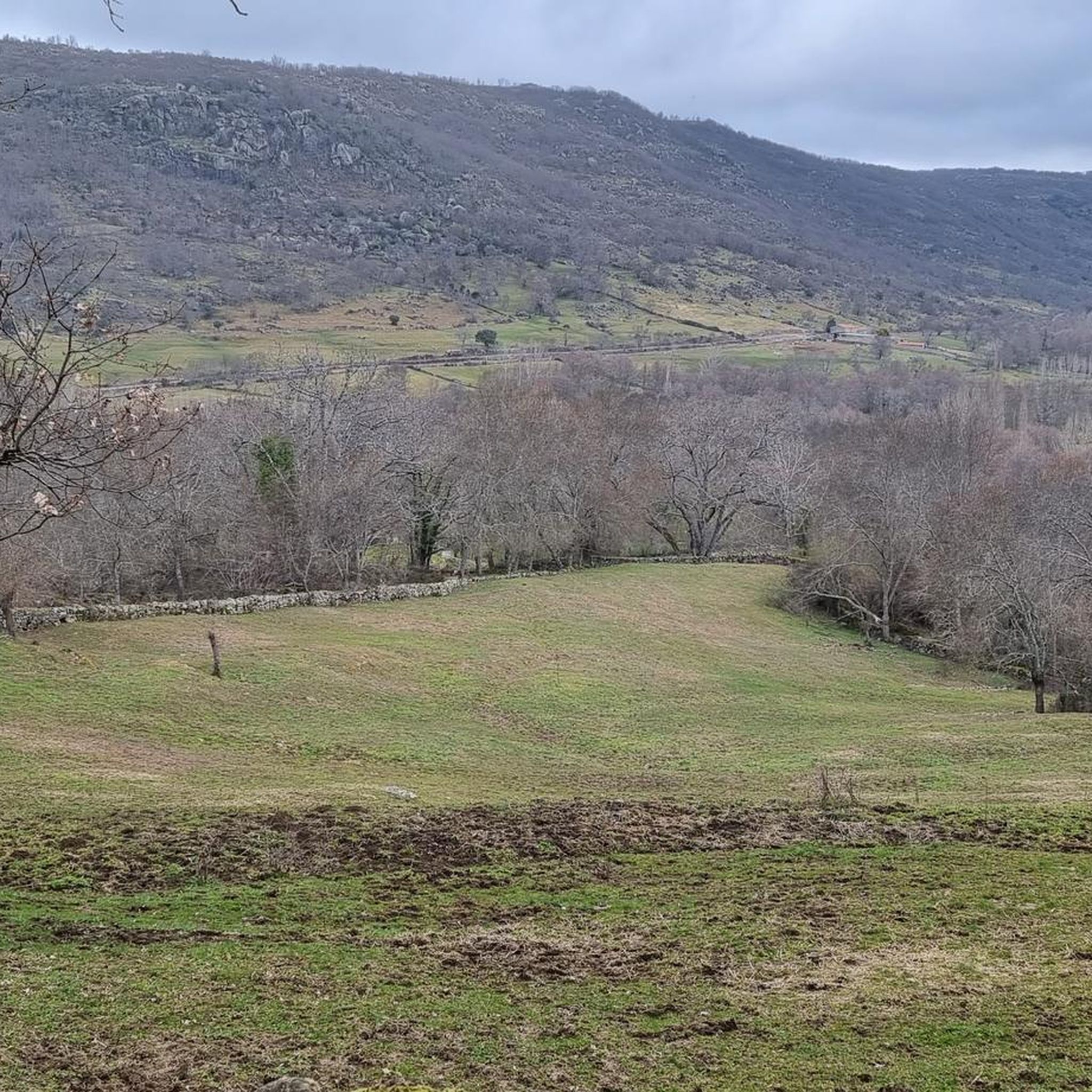
Nice valley in the heart of the Sierra de Candelario with beautiful views. If you are on your way to the top of Torreón from here the journey becomes quite demanding and through technical sectors, go carefully and firmly to enjoy this beautiful place!
2
0

A chain and some steps help his step.
2
0
Frequently Asked Questions
What are some of the most popular mountain passes to explore around Puerto de Béjar?
The region offers several notable mountain passes. Honduras Pass is highly regarded for its spectacular views and serves as a crucial link between the Valle del Jerte and the Valle del Ambroz. Another significant pass is Puerto de Béjar itself, marking the provincial border between Cáceres and Salamanca, known for its well-maintained roads suitable for cycling. For a challenging climb, Travieso Pass offers consistent slopes over 11 km.
What kind of outdoor activities can I do near the mountain passes of Puerto de Béjar?
The area around Puerto de Béjar's mountain passes is excellent for various outdoor activities. You can find numerous routes for hiking, gravel biking, and running. For hiking, options range from moderate loops like the "Puerto de Béjar Tunnel loop" to more difficult trails such as "La Muela from La Garganta through El Puertecito." Gravel biking enthusiasts can tackle challenging routes like the "Béjar Pass – Vía Verde de la Plata loop." You can explore more options in the dedicated guides for hiking, gravel biking, and running around Puerto de Béjar.
Are there any historical or cultural sites near the mountain passes?
Yes, the Puerto de Béjar region is rich in history. The pass itself is a crucial point on the historic Vía de la Plata (Silver Way), an ancient route used for centuries. Near the pass, you can encounter historical elements such as Roman milestones. The nearby town of Puerto de Béjar features traditional local architecture, the Church of Our Lady of the Assumption, Puente de la Malena, and the historic El Coto de Nuestra Señora del Carmen Gardens, offering a glimpse into ancient travel and trade routes.
What are the typical terrain and elevation challenges in the Sierra de Béjar mountain range?
The Sierra de Béjar, part of the Sistema Central, is characterized by its granite, granodiorite, and migmatite rock types, offering diverse and often challenging terrain. Its highest point, Canchal de la Ceja, reaches 2,428 meters (7,966 ft). Mountain passes like Travieso Pass involve constant slopes and an elevation of 1857 meters, with average inclines greater than 7% over 11 km. Honduras Pass also presents a significant ascent of 920m over 17km with an average gradient of 5.2%. The region is known for its challenging routes, especially for cyclists and hikers.
Are there any natural monuments or unique natural features to see?
Absolutely. The Sierra de Béjar boasts diverse natural landscapes, including evidence of glacial formations. Hoya Moros is a beautiful valley and natural monument, offering stunning views, especially towards Los Dos Hermanitos. The region also features gorges, such as those near Hell's Pass, and picturesque natural beauty spots throughout the mountain range.
What kind of views can I expect from the mountain passes?
Many mountain passes in the area offer panoramic viewpoints. From Honduras Pass, you can enjoy spectacular views from 1440 meters above sea level, looking out over the Valle del Jerte and Valle del Ambroz. Puerto de Béjar provides scenic stretches of road winding through trees and mountains. The region is generally known for its stunning mountain vistas and opportunities to enjoy panoramic scenery.
Are there any family-friendly hiking options around Puerto de Béjar?
While many routes in the Sierra de Béjar can be challenging, there are options suitable for families. For instance, the "Restaurante Magnolia – Shore of the Lake loop from Baños de Montemayor" is categorized as an easy hiking route, covering about 4.3 km. When planning, look for routes with an 'easy' or 'moderate' difficulty grade in the hiking guide to find suitable options for all ages.
What do visitors particularly enjoy about the mountain passes in this region?
Visitors frequently highlight the spectacular views and the sense of being immersed in nature. The well-maintained asphalt of passes like Puerto de Béjar is appreciated by cyclists, making them feel like they are on a great cycling stage. The challenging yet rewarding climbs, such as Travieso Pass, are also a big draw for those seeking a physical challenge. The blend of natural beauty with historical significance, especially along the Vía de la Plata, also makes the area appealing.
Can I find routes for mountain biking or gravel biking near Puerto de Béjar?
Yes, the region is well-suited for both mountain biking and gravel biking. There are numerous routes available, ranging from moderate to difficult. For gravel biking, you can find challenging loops like the "Béjar Pass – Vía Verde de la Plata loop" or the "View of Hervás – Vía Verde de la Plata loop." These routes offer diverse terrain and scenic views. You can explore more options in the gravel biking guide for Puerto de Béjar.
Are there any specific tips for tackling challenging climbs like Travieso Pass?
Travieso Pass is known for its very constant slopes and hardly any rest, with average inclines greater than 7% over 11 km. While it's a tough climb, it's considered highly recommendable without reaching a maximum level of demand. For such climbs, it's advisable to be in good physical condition and ensure your equipment is suitable. Always check weather conditions before setting out and carry enough water and supplies.
What is the significance of the Vía de la Plata in the Puerto de Béjar area?
The Vía de la Plata (Silver Way) is a historically significant ancient route that passes through Puerto de Béjar. It served various purposes throughout history, including trade and pilgrimage, making it a crucial cultural and historical artery in the Iberian Peninsula. Puerto de Béjar marks a key point on this route, representing the southern limit of the province of Salamanca. Exploring the area allows you to walk or cycle parts of this ancient path, encountering Roman milestones and other historical remnants.
Most popular routes around Puerto De Béjar
Most popular attractions around Puerto De Béjar

Get inspired with the komoot mobile app


Explore more
See even more epic mountain passes by checking out these guides around Puerto De Béjar:
