Top 9 Mountain Passes around Caminomorisco
Best mountain passes around Caminomorisco are found in the rugged Las Hurdes region of Extremadura, Spain. This area is characterized by undulating terrain, vast heaths, and a mix of grassland, shrubs, and forests. The landscape features picturesque river valleys, elevated viewpoints, and hiking trails that showcase the unique Hurdanian scenery. Visitors can explore natural formations and scenic routes offering impressive elevated views.
Best mountain passes around Caminomorisco
- The most popular mountain passes is Portillo Viewpoint, a viewpoint that offers…
Last updated: July 15, 2026
Portillo Viewpoint
Highlight • Viewpoint
Translated by Google •
Tip by

Las Hurdes, El Portillo
Highlight • Mountain Pass
Translated by Google •
Tip by

Sign up now to discover places like this
Get recommendations on the best single tracks, peaks, & plenty of other exciting outdoor places.
Sign up for free
Robledo Pass
Highlight • Mountain Pass
Translated by Google •
Tip by
Esperabán Pass
Highlight • Mountain Pass
Translated by Google •
Tip by

Climb to Puerto de Robledo from Nuñomoral
Highlight (Segment) • Mountain Pass
Translated by Google •
Tip by

Sign up for free to discover even more mountain passes around Caminomorisco.
Sign up for free
Already have an account?
Start today with a free account
Your next adventure awaits.
Login or Signup
Tips from the Community

The Esperabán pass is a mountain pass in the interior of the Iberian Peninsula, located in the Central System. The route that crosses it connects the Spanish provinces of Cáceres and Salamanca. This pass, which divides the provinces of Cáceres and Salamanca, is located at an altitude of 1,295 m. Access to the pass is paved and in good condition. The pass runs along the road that connects the town of Pinofranqueado with the farmhouses located on the banks of the Esperabán River. The last 7 km, with an average gradient of 8%, run along a perfectly paved forest track that was once used for transporting wood. The end of the asphalt, at 1,285 m above sea level, is just a few meters from the summit that gives the pass its name. We can climb to the highest point with MTB or gravel without problems.
0
0

Iconic cycling climb with many switchbacks providing incredible views. The ascent begins from the town of Nuñomoral to the Port of Robledo in the Sierra de Francia in the region of Las Hurdes. It's a long climb to 1100 masl, so keep up.
1
0

In the town of Serradilla del Llano, on the CV-149 highway, we will head towards the province of Cáceres. The port begins at the bridge over the Agaddon River.
0
0
Impressive road that winds from one side to the other, offering links worthy of the great mythical passes of the Alps and Pyrenees!
0
0

Precious climb although it has its hardness
0
1

The other Sunday I went up the pool and it was very nice, although the really impressive thing is the descent that comes later.
0
0

One of the climbs, if not the most beautiful in the province
1
0
Frequently Asked Questions
What are some of the most popular mountain passes and viewpoints around Caminomorisco?
Visitors frequently enjoy the Portillo Viewpoint, known for its beautiful climbs and impressive descents. Another highly regarded spot is Las Hurdes, El Portillo, which features an impressive winding road offering views comparable to mythical passes. The Robledo Pass, near Serradilla del Llano, is also a popular choice, starting at the bridge over the Agaddon River and leading towards Cáceres.
Are there family-friendly viewpoints or accessible routes in the Caminomorisco area?
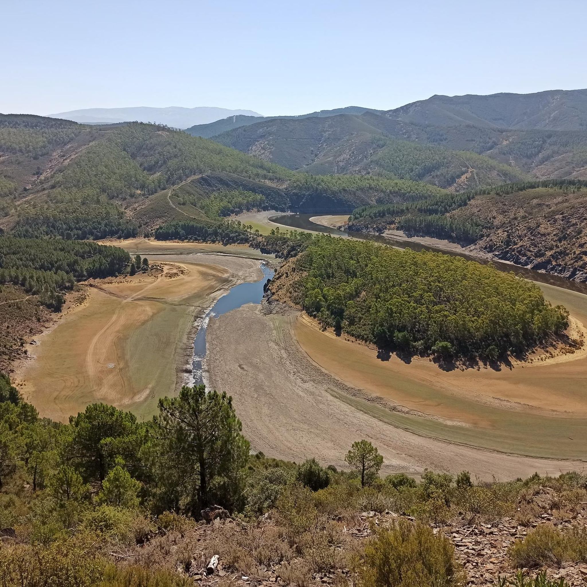
While traditional mountain passes can be challenging, the Meandro del Melero (Melero Meander) offers a unique panoramic view of the Alagón River and is notable for its accessibility, featuring a wooden ramp that zigzags down the slope, making it suitable for wheelchairs and baby strollers. This makes it a great option for families.
What kind of natural features can I expect to see when exploring the mountain passes and viewpoints near Caminomorisco?
The region is characterized by undulating terrain, vast heaths, and a mix of grassland, shrubs, and forests. You'll encounter picturesque river valleys, such as those around the Alagón River, and impressive elevated views. Highlights like Portillo Viewpoint offer spectacular panoramic vistas over Las Hurdes and towards the Gabriel y Galán reservoir.
What outdoor activities can I do near the mountain passes around Caminomorisco?
The area offers a variety of outdoor activities. You can find numerous hiking trails, such as those around the Pantano de las Tapias, which provide spectacular views. Cycling is also popular, with routes like the iconic climb to Puerto de Robledo from Nuñomoral. For more options, explore the hiking, cycling, and MTB trails available in the region.
Are there specific hiking trails near the mountain passes?
Yes, there are several hiking trails. For instance, you can find routes near the Pantano de las Tapias, such as the 10.8 km trail starting from La Pesga, offering scenic views of the reservoir. The Portillo Viewpoint is often incorporated into hiking routes. For a comprehensive list of options, check out the hiking guide for Caminomorisco.
What do visitors enjoy most about the mountain passes and viewpoints in Caminomorisco?
Visitors particularly appreciate the stunning panoramic views and the challenging yet rewarding climbs. For example, the Portillo Viewpoint is praised for being one of the most beautiful climbs in the province, with an impressive descent. The tranquility and opportunity to immerse oneself in the distinctive natural and cultural heritage of Las Hurdes are also highly valued.
What is the difficulty level of mountain passes around Caminomorisco?
Many of the mountain passes and climbs in the region are considered intermediate. For example, the Climb to Puerto de Robledo from Nuñomoral is a long ascent to 1100 meters above sea level, requiring good stamina. While some routes are accessible, many offer a good challenge for hikers and cyclists.
When is the best time to visit the viewpoints and passes in Caminomorisco?
The region's natural beauty can be enjoyed throughout much of the year. For spectacular views of the Meandro del Melero, it is particularly stunning when the river is full. Generally, spring and autumn offer pleasant temperatures for outdoor activities, avoiding the peak heat of summer.
Are there any notable cycling routes that include mountain passes in this area?
Yes, the region is popular with cyclists. The Climb to Puerto de Robledo from Nuñomoral is an iconic cycling climb featuring many switchbacks and incredible views. The Esperabán Pass also offers a paved route with an average gradient of 8% over the last 7 km, suitable for road bikes and gravel bikes. You can find more cycling options in the cycling guide for Caminomorisco.
Can I find mountain biking trails near the passes?
Absolutely. The area around Caminomorisco offers challenging mountain biking trails. For example, routes like 'Views of the Sierra de Francia – Collada de la Genera loop from Casar de Palomero' provide extensive rides. Explore the MTB Trails around Caminomorisco guide for detailed routes.
What is the <a href="https://www.komoot.com/highlight/6967106" target="_blank" rel="noopener">Esperabán Pass</a> like?
The Esperabán Pass is a mountain pass in the Central System, located at an altitude of 1,295 m, connecting the Spanish provinces of Cáceres and Salamanca. The access is paved and in good condition, with the last 7 km featuring an average gradient of 8% along a perfectly paved forest track. It's suitable for both road and gravel cycling.
Most popular attractions around Caminomorisco

Get inspired with the komoot mobile app


Explore more
See even more epic mountain passes by checking out these guides around Caminomorisco:
