Top 5 Mountain Passes around Alía
Best mountain passes around Alía, a municipality in the province of Cáceres, Extremadura, Spain, are situated within a region of varied topography. The area is part of the Villuercas Ibores Jara Geopark, characterized by mountains, hills, and riverbanks. Alía's geographical location includes the Sierra de la Mimbrera and the Sierra de la Palomera, offering diverse natural landscapes. These areas feature ascents and descents suitable for outdoor activities.
Best mountain passes around Alía
- The most popular mountain pass is San Vicente…
Last updated: July 1, 2026
San Vicente Pass
Highlight • Mountain Pass
Translated by Google •
Tip by

Puerto de Arrebatachacas
Highlight • Mountain Pass
Translated by Google •
Tip by

Sign up now to discover places like this
Get recommendations on the best single tracks, peaks, & plenty of other exciting outdoor places.
Sign up for free
Humilladero Pass
Highlight • Mountain Pass
It is the highest summit in Extremadura accessible by road.
Showing Translation
Tip by

Collado del Hospital
Highlight • Mountain Pass
Translated by Google •
Tip by

Puerto de San Vicente
Highlight • Mountain Pass
Translated by Google •
Tip by

Start today with a free account
Your next adventure awaits.
Login or Signup
Other adventures around Alía

Tips from the Community

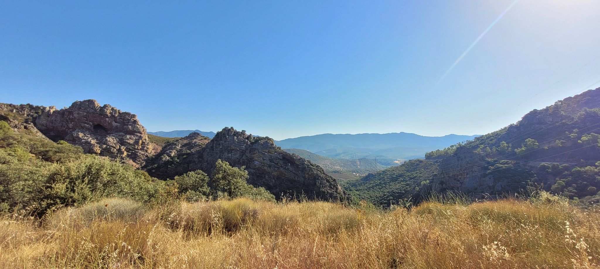
El Alto del Humilladero and Pico Villuercas, near Guadalupe (Cáceres), form one of the most spectacular mountain routes in Extremadura, within the Villuercas‑Ibores‑Jara UNESCO Geopark. It is the highest summit in Extremadura accessible by road.
2
0

Alto del Humilladero is a short but intense mountain pass, where the road climbs steeply through curves that test your legs. From its summit, you have a wide panoramic view that I'm sure you'll enjoy.
0
1

One of the characteristics of this town is its name which, as it indicates, shows us how the town is located next to a mountain pass, just like the pass itself.
2
0

This port is a classic point in all the itineraries that cross the Sierra de Altamira. Whether you have reached this point by going up the road or by following the natural path: congratulations! Now enjoy the views before heading downhill.
1
1

The views from here are a good reward for the climb. The site is full of references to the Camino de Guadalupe with a statue of a pilgrim, an iron cross, a milestone indicating the kilometer point and a post with the official logo indicating the way.
1
1

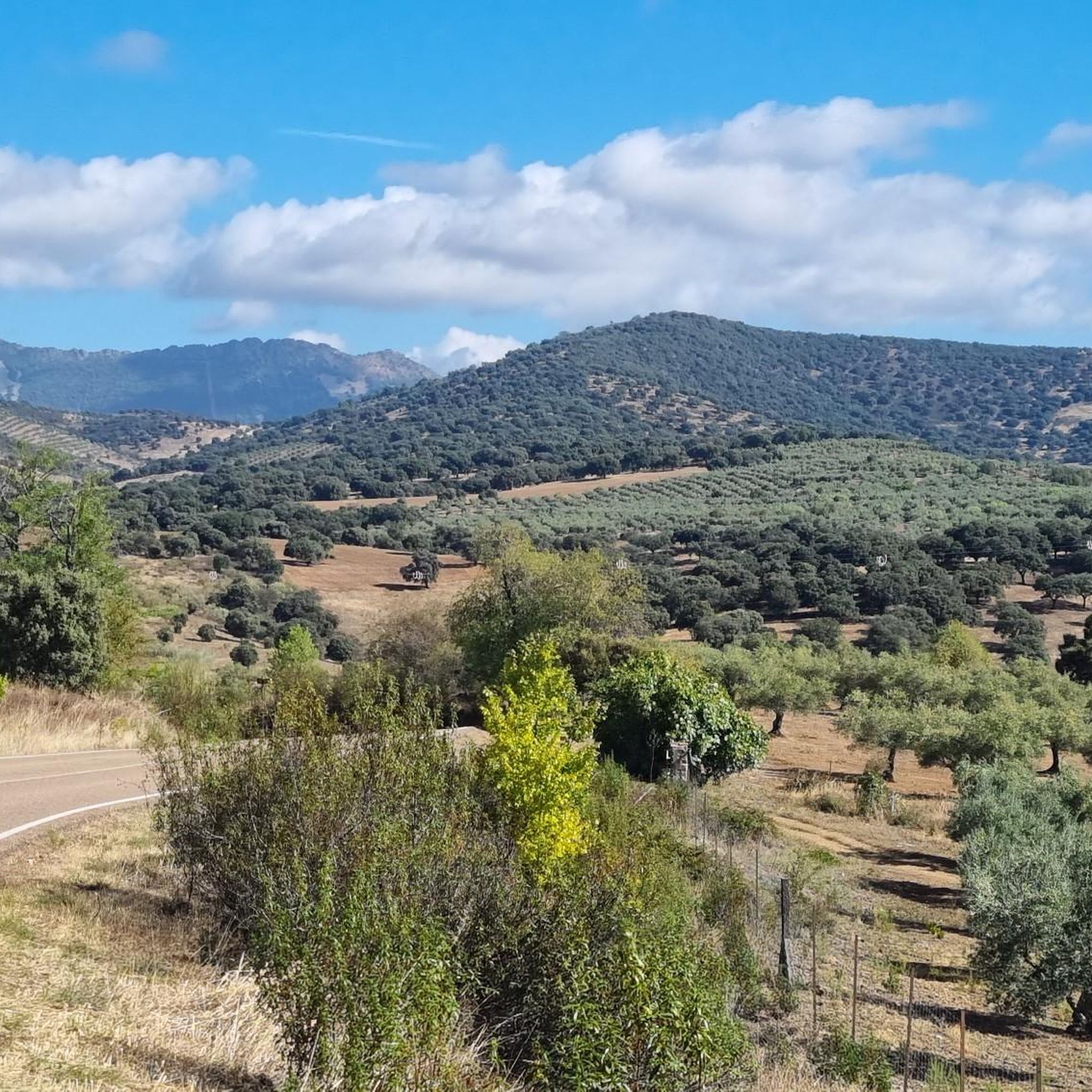
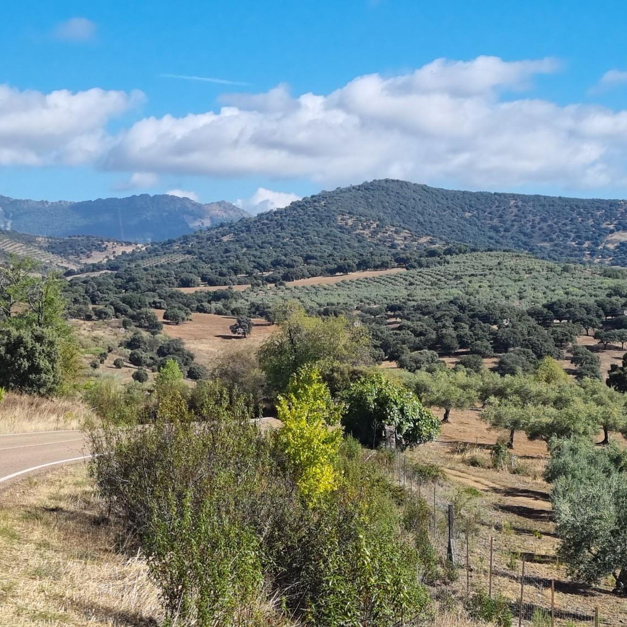
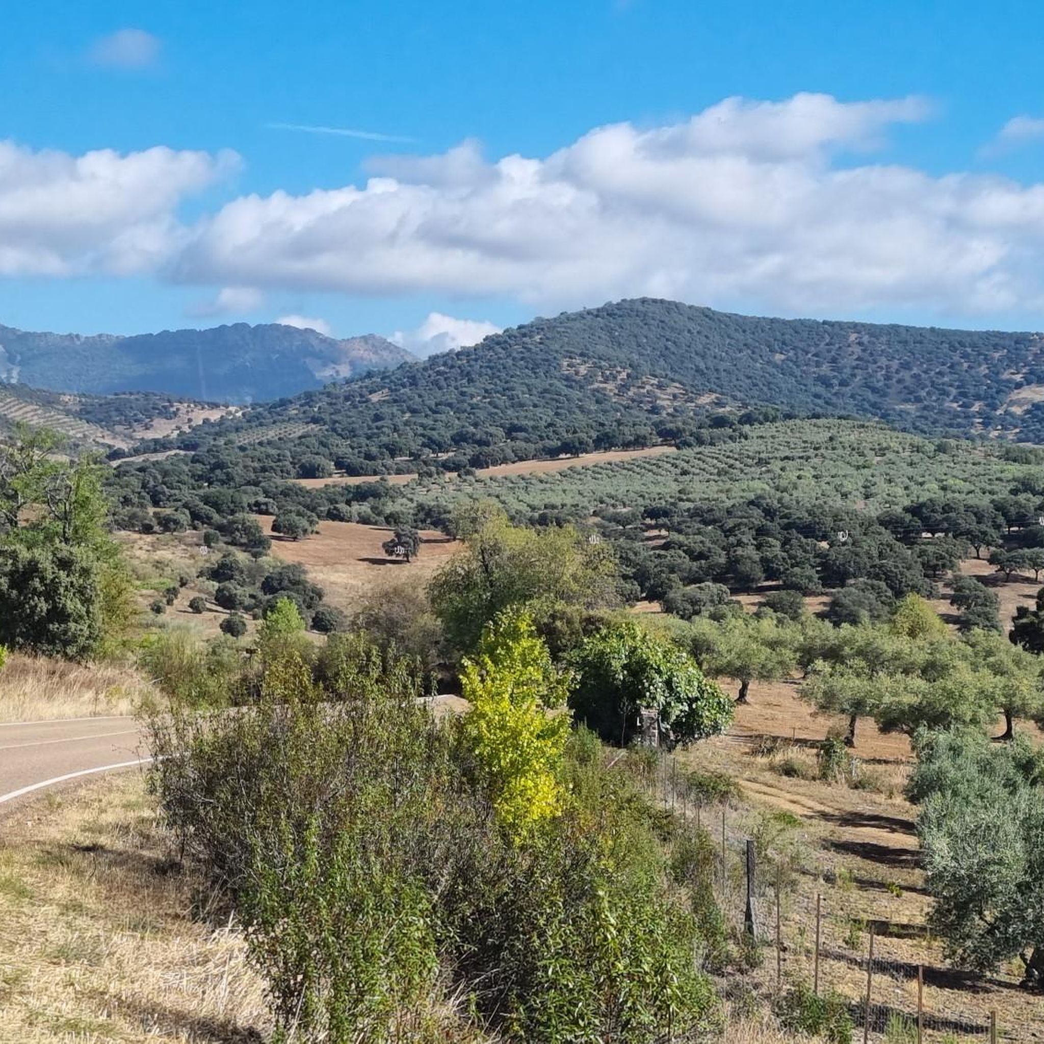
Narrow well-paved road with practically no vehicle traffic. Ascent from Guadalupe towards Carrascalejo, long but stretched with percentages that do not exceed 7%. The entire route is flanked by forests of oaks, cork oaks and chestnut trees. The landscape is spectacular with the Villuercas peak in the background.
0
0

It is not a very hard climb, but it is somewhat demanding, especially if you are loaded. great views.
0
1

in the Villuercas geopark. Comfortable climb. Although there is a parallel gravel track, I advise using the road. little traffic and much more comfortable
0
1
Frequently Asked Questions
What makes the mountain passes around Alía unique?
The mountain passes in the Alía region are situated within the Villuercas Ibores Jara Geopark, offering a diverse landscape of mountains, hills, and riverbanks. They provide routes through areas like the Sierra de la Mimbrera and Sierra de la Palomera, characterized by varied topography and natural beauty, rather than being prominent, well-known passes like those in major mountain ranges.
Are there any mountain passes with historical or cultural significance in the Alía area?
Yes, Puerto de Arrebatachacas is notable for its references to the Camino de Guadalupe, featuring a pilgrim statue, an iron cross, and a milestone indicating a kilometer point. The views from this pass are also a rewarding experience after the climb.
Which mountain passes offer the best scenic views?
For rewarding views, consider Puerto de Arrebatachacas after its climb. Additionally, Humilladero Pass provides a wide panoramic view from its summit, which is a great reward for the intense climb.
What kind of natural landscapes can I expect to see on these passes?
The passes often traverse areas rich in natural beauty. For example, Collado del Hospital is flanked by forests of oaks, cork oaks, and chestnut trees, with the Villuercas peak visible in the background. The entire region is part of the Villuercas Ibores Jara Geopark, known for its significant geological and ecological sites.
Are there cycling routes that incorporate these mountain passes?
Yes, the region around Alía is popular for cycling. Many routes incorporate the mountain passes, such as the comfortable climb of San Vicente Pass within the Villuercas Geopark. You can find various cycling tours, including difficult ones like the 'Castañar de Ibor from Guadalupe' loop, on the Cycling around Alía guide.
What hiking opportunities are available near the mountain passes?
There are several hiking trails near the mountain passes, ranging from easy to moderate. For instance, you can explore the 'Sierra de Altamira Loop from Puerto de San Vicente' or the 'Guadalupe Monastery and Viaduct Loop'. More options are available on the Hiking around Alía guide.
Are there any less crowded mountain passes for a quieter experience?
Collado del Hospital is known for its narrow, well-paved road with practically minimal vehicle traffic, making it a good option for a quieter experience amidst forests of oaks, cork oaks, and chestnut trees.
What is the difficulty level of the mountain passes around Alía?
The mountain passes around Alía are generally considered intermediate. While some, like Humilladero Pass, can be short but intense with steep climbs, others like San Vicente Pass offer a more comfortable ascent. Many provide rewarding views for the effort.
Can I find running trails that include mountain passes in the Alía region?
Yes, the area offers running trails that incorporate mountain passes. For example, the 'Humilladero Pass – Pico Villuercas Summit loop from Ermita del Humilladero' is a challenging option. You can find more running routes on the Running Trails around Alía guide.
What do visitors appreciate most about the mountain passes in Alía?
Visitors appreciate the rewarding views after climbs, the natural beauty of the Geopark, and the varied terrain suitable for outdoor activities like cycling and hiking. The minimal traffic on some passes, like Collado del Hospital, also contributes to a pleasant experience.
Is there a specific pass that is a classic point for itineraries in the area?
San Vicente Pass is considered a classic point in itineraries that cross the Sierra de Altamira, offering a comfortable climb within the Villuercas Geopark and great views before a descent.
Are there any towns or settlements directly associated with these mountain passes?
Yes, Puerto de San Vicente is a settlement whose name indicates its location right next to a mountain pass, making it a characteristic feature of the area.
Most popular attractions around Alía

Get inspired with the komoot mobile app


