Top 8 Mountain Passes around Alfauir
Best mountain passes around Alfauir are found in a region characterized by its location in the Vall del Vernissa and its southern border with the Sierra de Ador. This area, part of the Valencian Community in Spain, offers elevated hiking routes and scenic points within its local mountainous terrain. Alfauir itself sits at an average elevation of 146 meters, with nearby peaks like Cuta reaching 680 meters. The landscape features pine forests, diverse flora, and historical elements, providing varied experiences…
Last updated: July 1, 2026
Port de la Drova
Highlight (Segment) • Mountain Pass
Translated by Google •
Tip by

Puerto de l'Orxa - Alpatro
Highlight • Mountain Pass
Translated by Google •
Tip by

Sign up now to discover places like this
Get recommendations on the best single tracks, peaks, & plenty of other exciting outdoor places.
Sign up for free
La Drova Pass + cattle track towards Barx
Highlight (Segment) • Mountain Pass
Translated by Google •
Tip by

La Visteta Viewpoint
Highlight • Viewpoint
Translated by Google •
Tip by
Coll de la Radella Viewpoint
Highlight • Viewpoint
Translated by Google •
Tip by

Sign up for free to discover even more mountain passes around Alfauir.
Sign up for free
Already have an account?
Start today with a free account
Your next adventure awaits.
Login or Signup

Tips from the Community


Interesting views of the Bay of Valencia
0
0

Very good view of Valldigna and a well-deserved rest after climbing the port of Simat-Barx.
2
0

Puerto de la Drova, or Collado del Mollons, is a climb in the Costa del Azahar region. It has a length of 9.8 kilometers and a climb of 359 vertical meters with a slope of 3.7% on average, which implies a difficulty level of 201. The top of the climb is located at 382 meters above sea level. At the top, you can access the Parpalló Borrell Environmental Interpretation Center, a space to disseminate and help interpret the environmental aspects of the area where it is located.
2
0
This port is one of the classics of the area. It can be done uphill from Gandia, so the journey is 10km that starts with a very gentle slope and gets steeper at the end with the true port (3.5km). Going downhill, you have to be careful because high speeds are achieved thanks to the good asphalt and the layout of the curves. And I say that you need to be careful not only for physical integrity, but also because the civil guard charges cyclists with excessive speed.
1
0

Mythical ascent for the people of Gandia
1
0

Very picturesque and demanding stretch. With a good surface, riding here is very entertaining, but you will have to overcome slopes over 20%, both up and down, so make sure your brakes are in optimal condition.
2
1
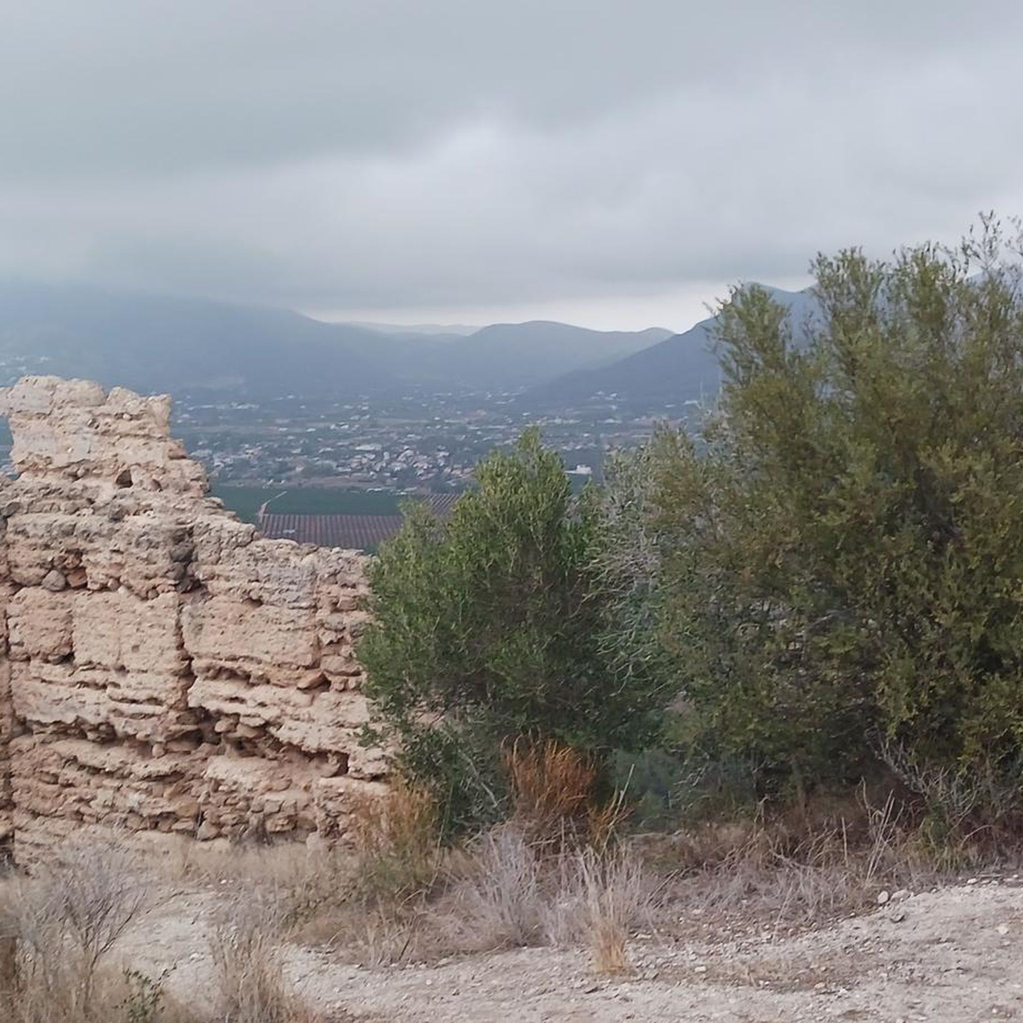
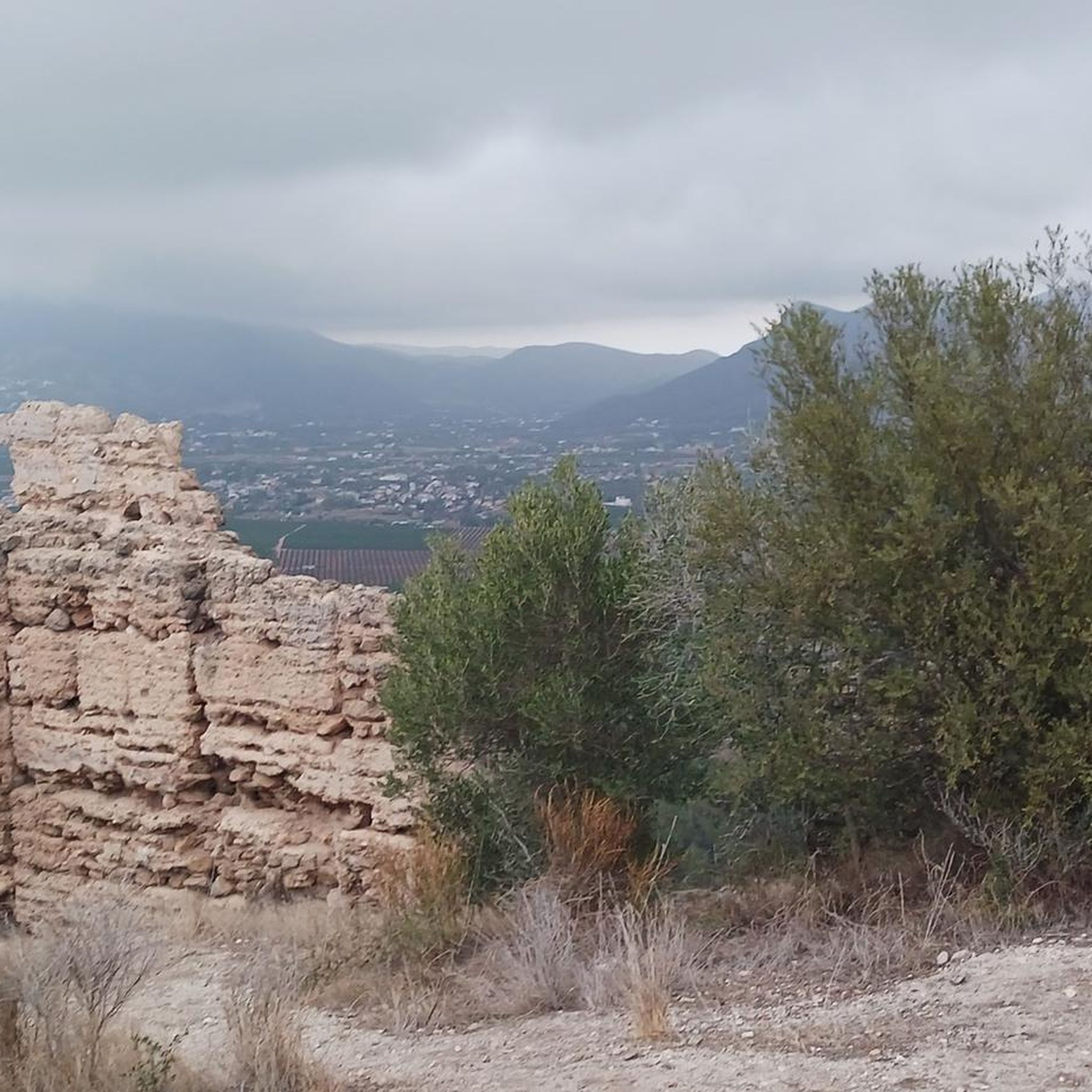
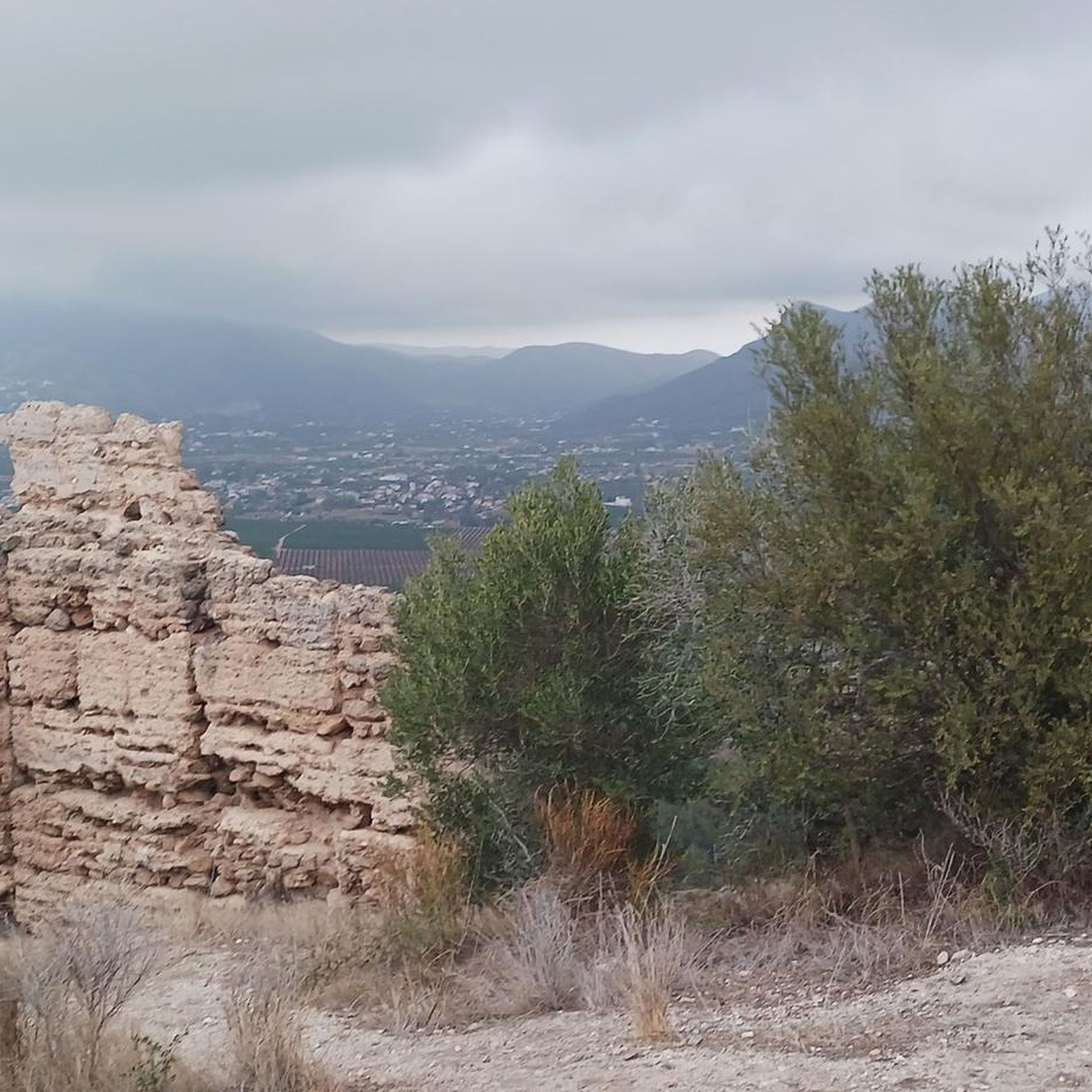
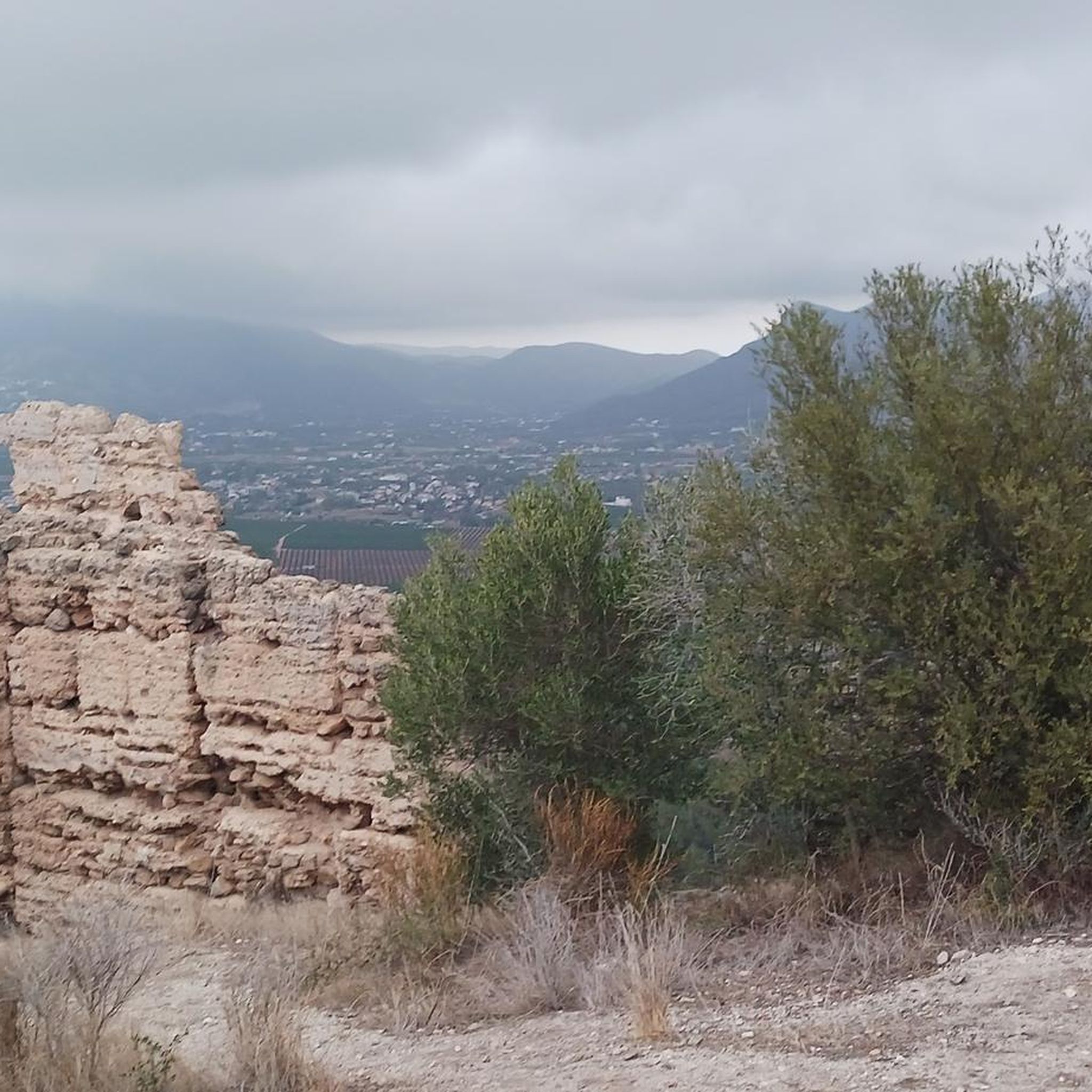
Viewpoint located in the upper part of the port Simat-Barx, with beautiful views of the Valldigna, the mountain and the coast.
1
0
Frequently Asked Questions
What kind of mountain passes can I expect to find around Alfauir?
The region around Alfauir, situated in the Vall del Vernissa and bordering the Sierra de Ador, offers a variety of elevated routes and scenic points rather than traditional high mountain passes. You'll find challenging climbs, picturesque trails, and viewpoints that provide expansive vistas of the surrounding landscape, including the Vall del Vernissa and the coast.
Are there any particularly challenging mountain passes for experienced cyclists or hikers?
Yes, for those seeking a challenge, Puerto de l'Orxa - Alpatro is known for its very steep and long climbs, with some sections exceeding 20% gradient. It offers rewarding views for the effort. Another classic is Port de la Drova, which has a 3.7% average slope over 9.8 kilometers, becoming steeper towards the end.
Where can I find the best panoramic views of the area?
For breathtaking panoramic views, consider visiting La Visteta Viewpoint, which offers stunning vistas towards Simat de la Valldigna and Tavernes beach. Another excellent spot is Coll de la Radella Viewpoint, providing incredible views both inland and towards the Bay of Valencia.
Are there any mountain passes or trails suitable for beginners or families?
While specific 'family-friendly' categories aren't always assigned to passes, the region offers easier hiking options that provide elevated experiences. For instance, the Senda del Castell Trail (SL-CV 138) is an easy 2.2-mile route leading to Palma Castle, offering historical interest and views. The 'Castillo de Palma – Riverside Promenade of Alfauir loop' is also an easy 6.60km loop with varied landscapes.
What outdoor activities can I do near these mountain passes?
The area around Alfauir is excellent for various outdoor activities. You can explore numerous hiking trails, such as the Sierra de Ador Trail (SL-CV 59) or the PR-CV 100: Rótova Trails. For cycling enthusiasts, there are challenging routes like the 'Port de La Drova Climb – La Visteta viewpoint loop'. Mountain biking is also popular, with trails like the 'Serpis River – Azud del Infierno or del Forn loop'. You can find more details on these activities in the dedicated guides for hiking, cycling, and MTB trails around Alfauir.
What is the best time of year to visit the mountain passes around Alfauir?
The region offers pleasant conditions for outdoor activities for much of the year. However, be aware that strong winds can occur on hills like Coll de la Radella Viewpoint during winter. Spring and autumn generally offer mild temperatures, making them ideal for exploring. Summers can be warm, so early morning or late afternoon visits are recommended.
Are there any historical sites accessible via these elevated routes?
Yes, the Senda del Castell Trail (SL-CV 138) leads to the historic Palma Castle, which overlooks the entire Vall de Vernisa and offers a breathtaking panoramic perspective. The region also features ancient Islamic irrigation systems still in use today, which you might encounter on various trails.
What kind of natural features and wildlife can I expect to see?
The area is characterized by picturesque landscapes, including pine forests and diverse flora. You might spot indigenous species like Kermes oak and wild thyme. The Sierra de Ador, for example, is known for its pine forests and shrub vegetation. The trails offer opportunities to appreciate the natural beauty and varied ecosystems of the Vall del Vernissa.
What do visitors enjoy most about the mountain passes and elevated routes in Alfauir?
Visitors frequently highlight the beautiful views and the rewarding nature of the climbs. For instance, La Drova Pass + cattle track towards Barx is praised for its very beautiful views, especially when taking the detour into the forest. The challenging yet picturesque nature of routes like Puerto de l'Orxa - Alpatro also receives positive feedback for its demanding sections and scenic rewards.
Are there any circular routes available for hiking or cycling?
Yes, the region offers several circular routes. For hikers, the PR-CV 100: Rótova Trails include a 5.7-mile loop exploring views of Sierra Marchuquera. Another option is the 'Castillo de Palma – Riverside Promenade of Alfauir loop' which is a moderate 6.60km loop from Alfauir. For cyclists, the 'Port de La Drova Climb – La Visteta viewpoint loop' is a challenging 57km route.
What is the highest point in the immediate vicinity of Alfauir?
While Alfauir itself sits at an average elevation of 146 meters, the highest point in the immediate vicinity is the Cuta mountain, located in the Sierra de Ador, reaching 680 meters. This area offers several elevated hiking routes and scenic points.
Most popular routes around Alfauir
Most popular attractions around Alfauir

Get inspired with the komoot mobile app


Explore more
See even more epic mountain passes by checking out these guides around Alfauir:
