The 20 Most Amazing Peaks around Breil/Brigels
Mountain peaks around Breil/Brigels are situated in the Surselva region of the Swiss canton of Graubünden. This area offers access to various mountain peaks and passes. The region is characterized by its panoramic views and diverse hiking opportunities across the Alpine landscape.
Best mountain peaks around Breil/Brigels
- The most popular mountain peak is Kistenstöckli, a summit that offers great panoramic views after a steep ascent, partly secured with chains. The summit forms a small plateau.
- Another must-see spot is…
Last updated: October 10, 2026
Kistenstöckli
Highlight • Summit
Translated by Google •
Tip by

Piz Mundaun
Highlight • Summit
Translated by Google •
Tip by
Sign up now to discover places like this
Get recommendations on the best single tracks, peaks, & plenty of other exciting outdoor places.
Fiseten Pass
Highlight • Mountain Pass
The Fisetenpass is a mountain pass in the municipality of Spiringen (Urnerboden exclave) in the canton of Uri. Its pass is at an altitude of 2036 meters …
Translated by Google •
Tip by

Gemsfairenstock Summit
Highlight • Summit
Translated by Google •
Tip by

Key section on the ascent to Gemsfairenstock
Highlight • Climb
Questioning or playing down official SAC ratings is completely out of the question for me. The so-called "social media alpinism" is increasingly being criticized due to the increase in irresponsible users.
Translated by Google •
Tip by

Sign up for free to discover even more peaks around Breil/Brigels.
Already have an account?
Start today with a free account
Your next adventure awaits.
Popular around Breil/Brigels

Winter Magic in the Surselva – peace, space and pure nature
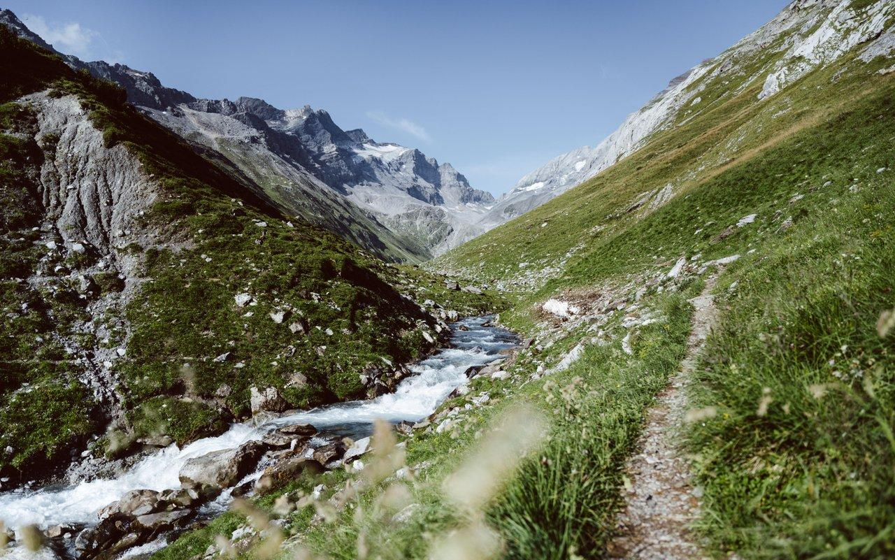
Relax and enjoy – hiking highlights of the Surselva
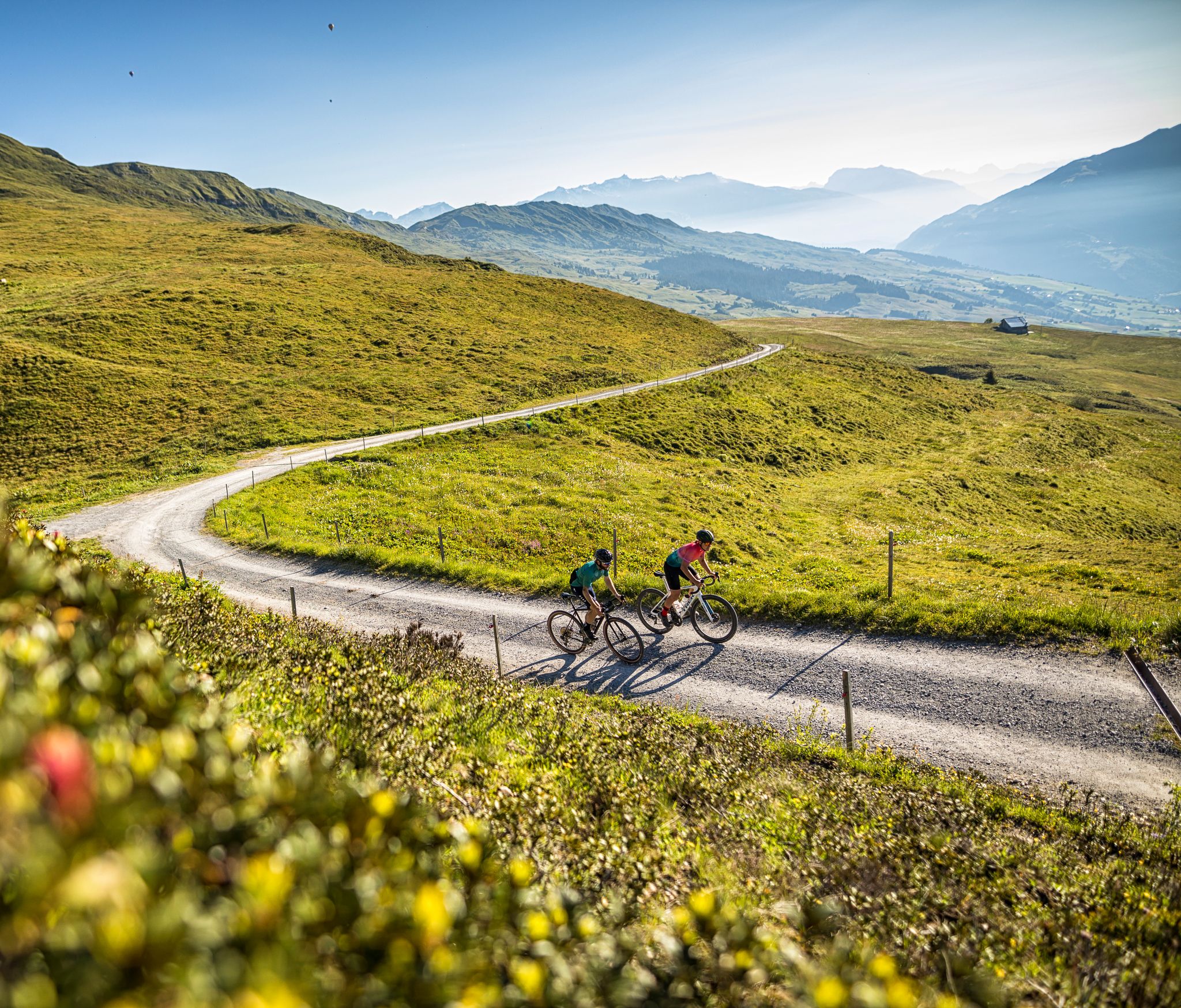
The six most beautiful gravel routes in Graubünden
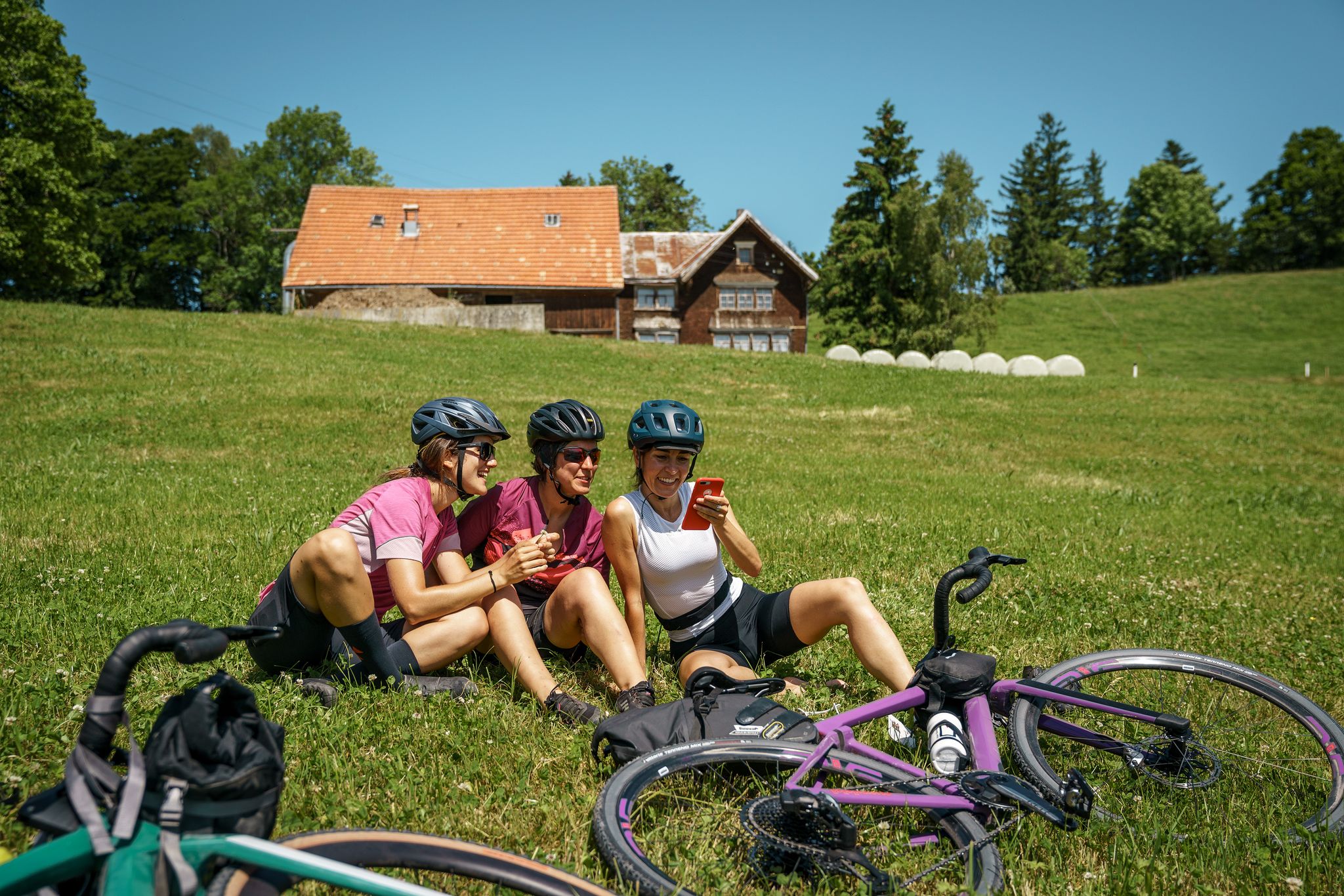
100% Women: essential Switzerland on a gravel bike
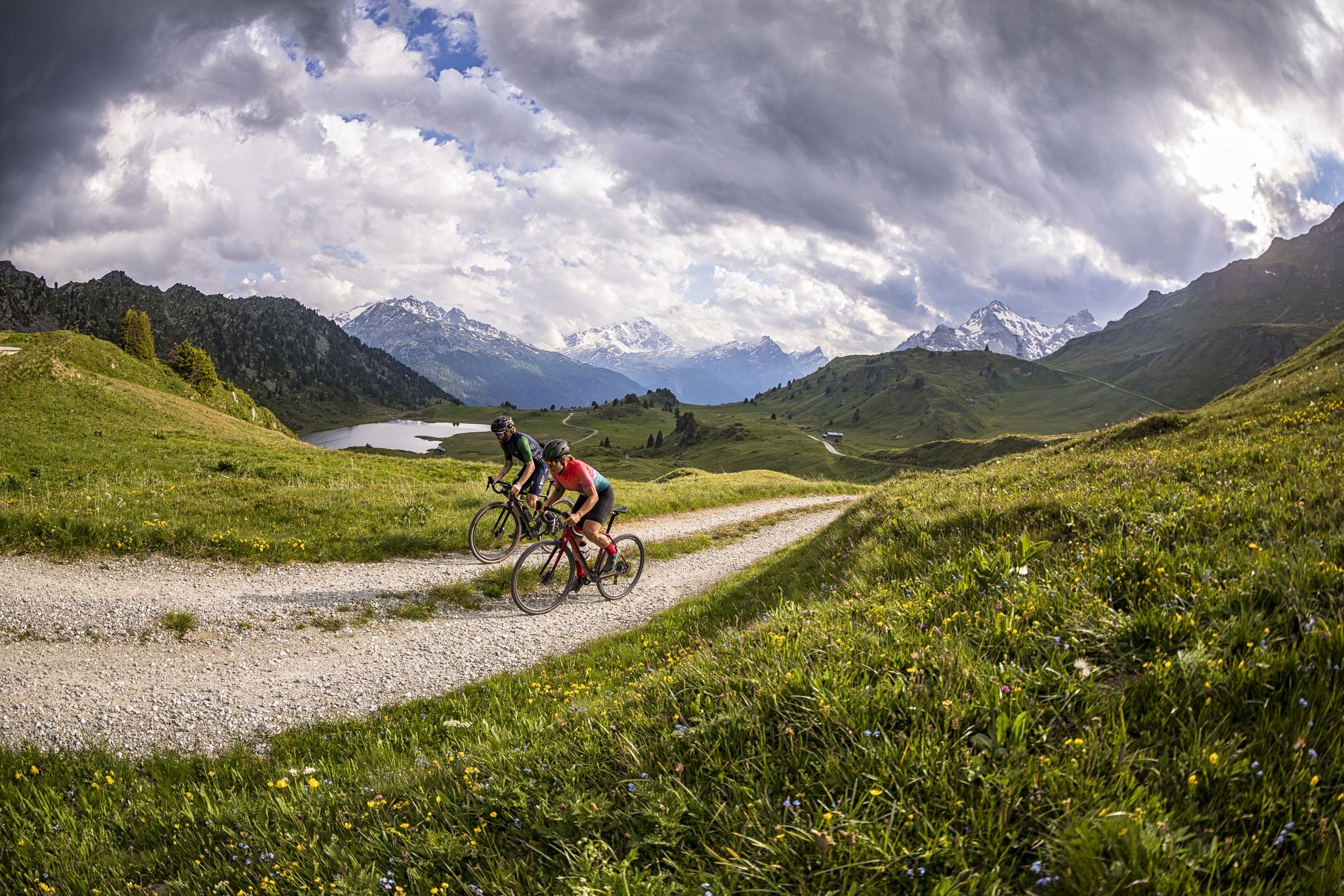
A gravel biking Menu for Switzerland’s Grisons

On ancient paths towards Santiago — the Way of St. James Graubünden
Senda Sursilvana – lungo il Giovane Reno tra natura e tradizione
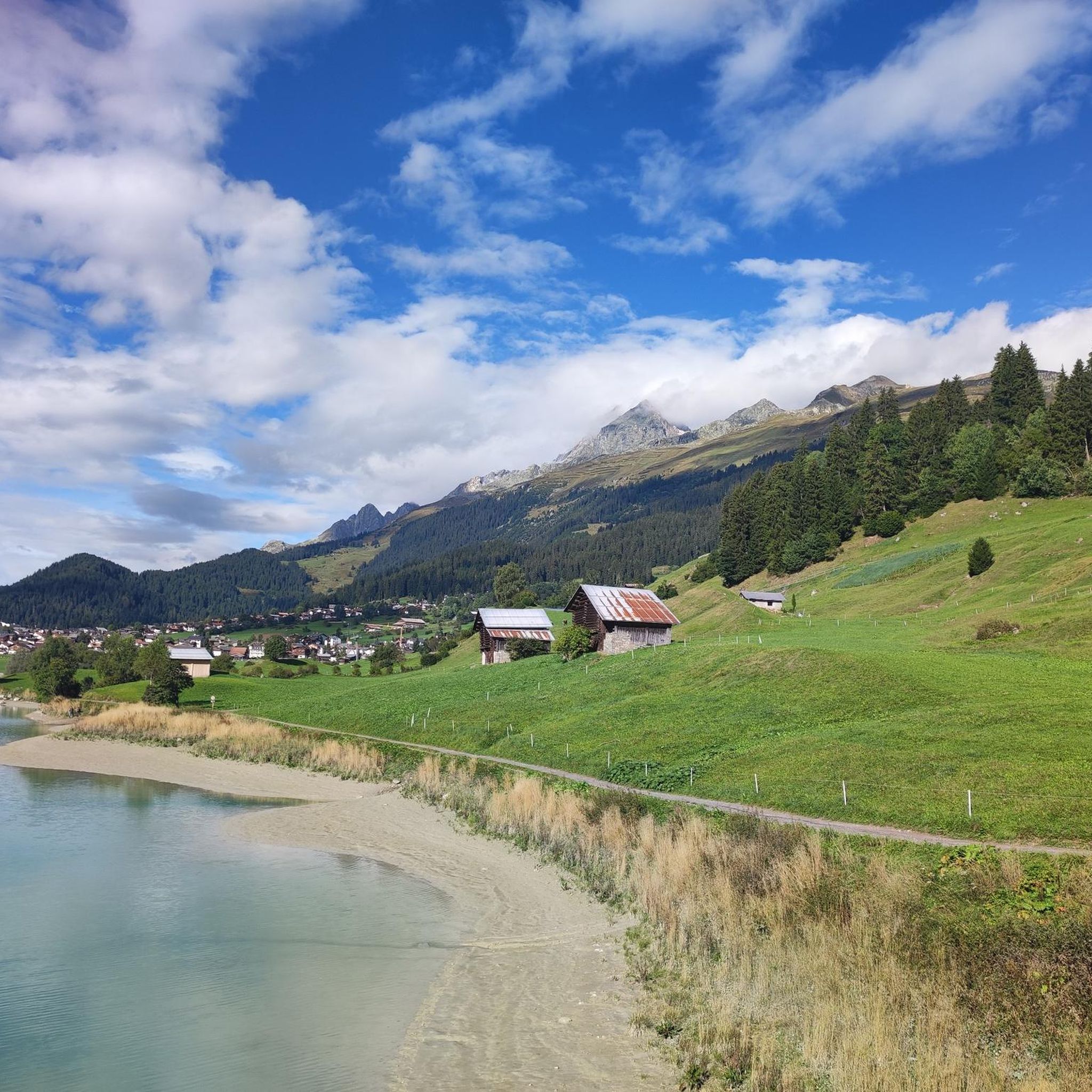
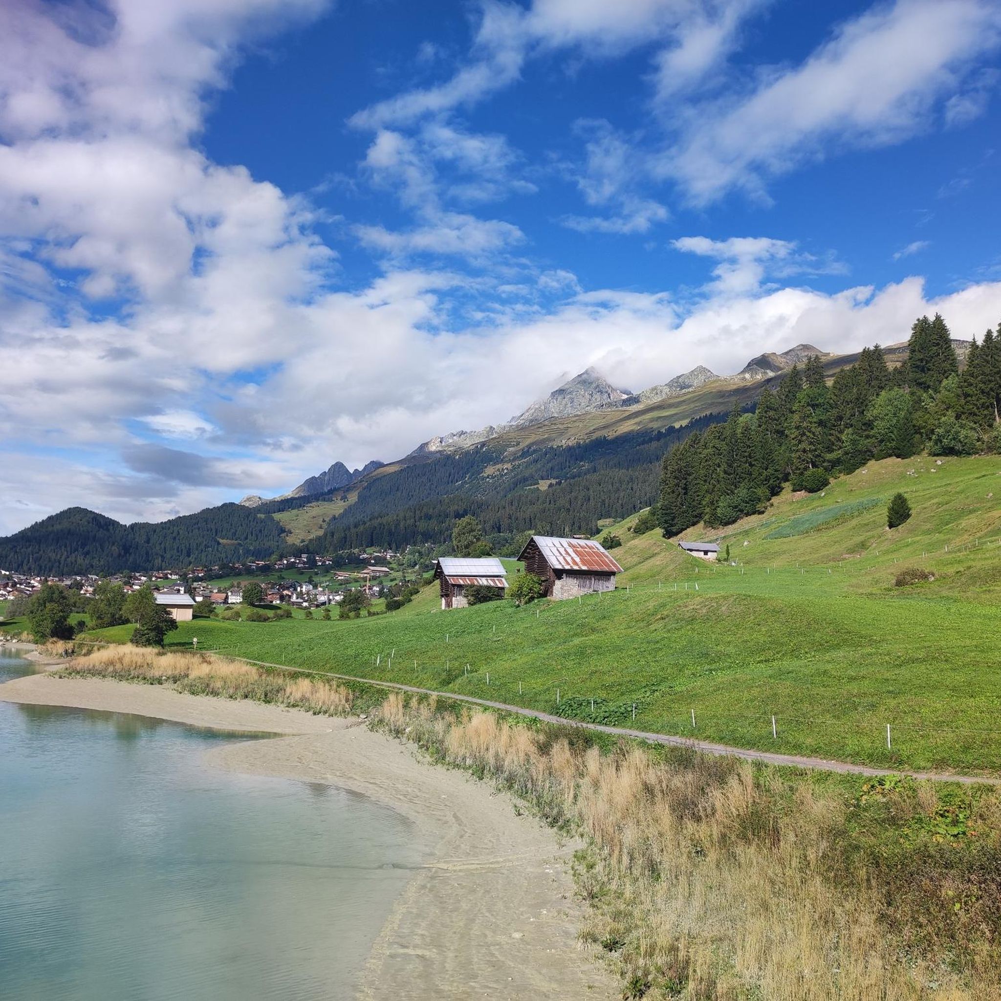
Hiking around Breil/Brigels
MTB Trails around Breil/Brigels
Gravel biking around Breil/Brigels
Other adventures around Breil/Brigels


Tips from the Community

Great view, several benches to sit and enjoy. I would definitely climb through the forest myself instead of taking the gondola – it's so much more beautiful up there...and the path through the forest is really beautiful.
1
0

While previously you could only get to the Gemsfairenstock by touching the glacier, it is now possible without it. There is a slightly exposed section on the ascent, but it is secured with chains.
0
0

Good for taking off with a paraglider. Great view of the Tödi!
0
0

Exposed area well secured with chain
1
0

Fisetenpass 2023 m The Fisetenpass is a mountain pass in the municipality of Spiringen (Urnerboden exclave) in the canton of Uri. Its pass is at an altitude of 2036 meters above sea level between the Gemsfairenstock (2971m) in the southwest and the Fisetengrat or the Chamerstock (2123m) in the east. The easiest way to reach the pass is to take the mountain cable car from Urnerboden to the Fisetengrat mountain station and from there in a few minutes to the top of the pass. You hike over the pass from the Urnerboden to the Fiseten area and on to the Claridenhütte and Tierfehd. The specified hiking time from the Fisetenpass to the Claridenhütte is 2h40min, down to Linthal 4h55min and also down the valley to the Urnerboden 3h10min. In a four-hour mountain hike from the top of the pass you can also reach the Klausen Pass (Clariden high-altitude trail). Text / source: Fuorcla.ch https://fuorcla.ch/fisetenpass/
14
0

Simply super nice up there, starting point for the SAC huts Planura 2947 m above sea level, Clarieden hut 2453 m above sea level and the Fridolinshütte at 2111 m above sea level, which we renovated with the construction company Rüesch AG. At that time there was still dear Gabi Aschwanden Hütten Wärtin, who cooked and cared for us for almost 4 months at a time. The beautiful hut is the starting point for a tour up to the most beautiful Glarus mountain, the Tödi.
1
0

Pay attention to snow conditions, there could be tricky spots if there is little snow.
0
0

https://www.sac-cas.ch/de/huetten-und-touren/sac-tourenportal/gemsfairenstock-773/hochtouren/vom-fisetenpass-ueber-den-langfirn-1437/ Questioning or playing down official SAC ratings is completely out of the question for me. The so-called "social media alpinism" is increasingly being criticized due to the increase in irresponsible users.
4
0
Frequently Asked Questions
Which mountain peaks around Breil/Brigels offer the most impressive panoramic views?
For breathtaking panoramic views, consider Piz Mundaun, known as the "Graubünden Rigi," which features a newly renovated observation deck with an unobstructed 360-degree panorama. Gemsfairenstock Summit also provides a magnificent 360-degree vista over the Alps. Additionally, Kistenstöckli offers great panoramic views after a steep ascent, and the Kisten Pass region boasts a vast 250° panorama from the Kistenpass Hut SAC.
Are there challenging mountain hikes for experienced trekkers in the Breil/Brigels area?
Yes, several peaks offer challenging experiences. The ascent to Kistenstöckli involves a steep climb, partly secured with chains. Gemsfairenstock Summit is considered an alpine hike (T4 on the SAC scale) with a potentially exposed section secured with chains. The Kisten Pass region also offers challenging routes, including a '3-passes hike' and a geologically fascinating trail with spectacular views.
What are the best options for family-friendly mountain experiences near Breil/Brigels?
Piz Mundaun is a great choice for families, as it's accessible via hiking, cable cars, or hiking buses, making it suitable for various activity levels. After reaching the valley station, visitors can enjoy a fun 'Trottinett' (scooter) descent, adding an exciting element for children and adults alike.
What kind of outdoor activities can I do near the mountain peaks of Breil/Brigels?
Beyond hiking, the region offers diverse outdoor activities. You can explore various cycling routes, including Cycling around Breil/Brigels, or try gravel biking with options like the 'Brigels Bella Vista' route found in Gravel biking around Breil/Brigels. In winter, peaks like Piz Mundaun and Gemsfairenstock are popular for ski touring.
Are there any unique natural features or geological sites to explore?
The Kisten Pass region is particularly noted for its geological interest, offering a fascinating trail with spectacular views of the Limmernsee, Selbstsanft, Bifertenstock, and Tödi. The Richetli Pass also lies in a geologically rich area and features an idyllic moor landscape during its descent, forming part of the scenic Green Trail of the Via Alpina.
What is the best time of year to visit the mountain peaks around Breil/Brigels?
The best time largely depends on your preferred activity. For hiking and alpine trekking, late spring to early autumn (June to September) offers the most favorable conditions. During early summer, you might encounter beautiful alpine roses on ascents like Piz Mundaun. In winter, the area transforms into a popular destination for ski touring and winter sports.
Can I find accommodation or huts for overnight stays in the mountains?
Yes, the Kisten Pass region offers the Kistenpass Hut SAC, which provides an opportunity for an overnight stay at altitude. This hut is known for its exotic location and extensive panoramic views, making it a memorable experience for hikers undertaking multi-day tours.
Are there any historical or cultural sites near the mountain peaks?
While primarily known for its natural beauty, the region also has cultural points of interest. The Church of Sogn Stiafen, Cumbel, built in the early 16th century and later rebuilt, features a rich history with baroque altars and a ten-part cycle of paintings from 1595 depicting the life of Mary. It's an interesting stop for those looking to combine hiking with cultural exploration.
What makes <a href="https://www.komoot.com/highlight/2687285" target="_blank" rel="noopener">Piz Mundaun</a> a unique destination?
Piz Mundaun is celebrated for its exceptional and unique panoramic views, considered among the most beautiful in Switzerland. Its summit features a renovated observation deck with a 360-degree panorama and a panorama board to help identify surrounding peaks. It's also part of a ski area in winter and offers a fun 'Trottinett' descent in warmer months.
What kind of hiking trails are available around Breil/Brigels?
The area offers a variety of hiking trails catering to different difficulty levels. You can find moderate trails like 'Lake Pradas – Lake Brigels loop' or more difficult options such as 'Hochtal Val Frisal' and 'Kistenpass Hut SAC – Biferten SAC Hut loop' within the Hiking around Breil/Brigels guide. The Richetli Pass is also part of the long-distance Via Alpina, offering diverse and idyllic scenery.
How accessible are the mountain peaks by public transport or car?
Many peaks and passes in the Breil/Brigels area are accessible through a combination of public transport and hiking. For instance, Piz Mundaun can be reached via cable cars or hiking buses from various points. While specific parking details vary, the region is generally well-connected for outdoor enthusiasts.
Are there opportunities for paragliding in the Breil/Brigels mountains?
Yes, Gemsfairenstock Summit is noted as an ideal spot for paragliding, offering a unique perspective of the stunning Alpine landscape for those seeking an aerial adventure.
Most popular routes around Breil/Brigels
Most popular attractions around Breil/Brigels

Get inspired with the komoot mobile app


Explore more
See even more amazing summits around Breil/Brigels with these guides:
