Top 5 Mountain Passes around Le Moutaret
Mountain passes around Le Moutaret are situated in the Isère department of southeastern France, within the Auvergne-Rhône-Alpes region. Le Moutaret is located at an approximate altitude of 559 meters, facing the Belledonne mountain range. This strategic location serves as a base for exploring the surrounding mountainous regions, particularly the Belledonne Massif. The area offers various opportunities for outdoor activities, including mountain pass exploration.
Best mountain passes around Le Moutaret
- The most popular mountain pass is Marocaz Pass, a mountain…
Last updated: July 2, 2026
Marocaz Pass
Highlight (Segment) • Mountain Pass
Tip by

Col de Cochette (587 m)
Highlight • Mountain Pass
From Villard-d'Héry, …
Translated by Google •
Tip by

Sign up now to discover places like this
Get recommendations on the best single tracks, peaks, & plenty of other exciting outdoor places.
Sign up for free
Occiput Pass
Highlight • Mountain Pass
Translated by Google •
Tip by

Col de la Perche
Highlight • Mountain Pass
Translated by Google •
Tip by
Val Pelouse
Highlight • Mountain Pass
Translated by Google •
Tip by

Start today with a free account
Your next adventure awaits.
Login or Signup
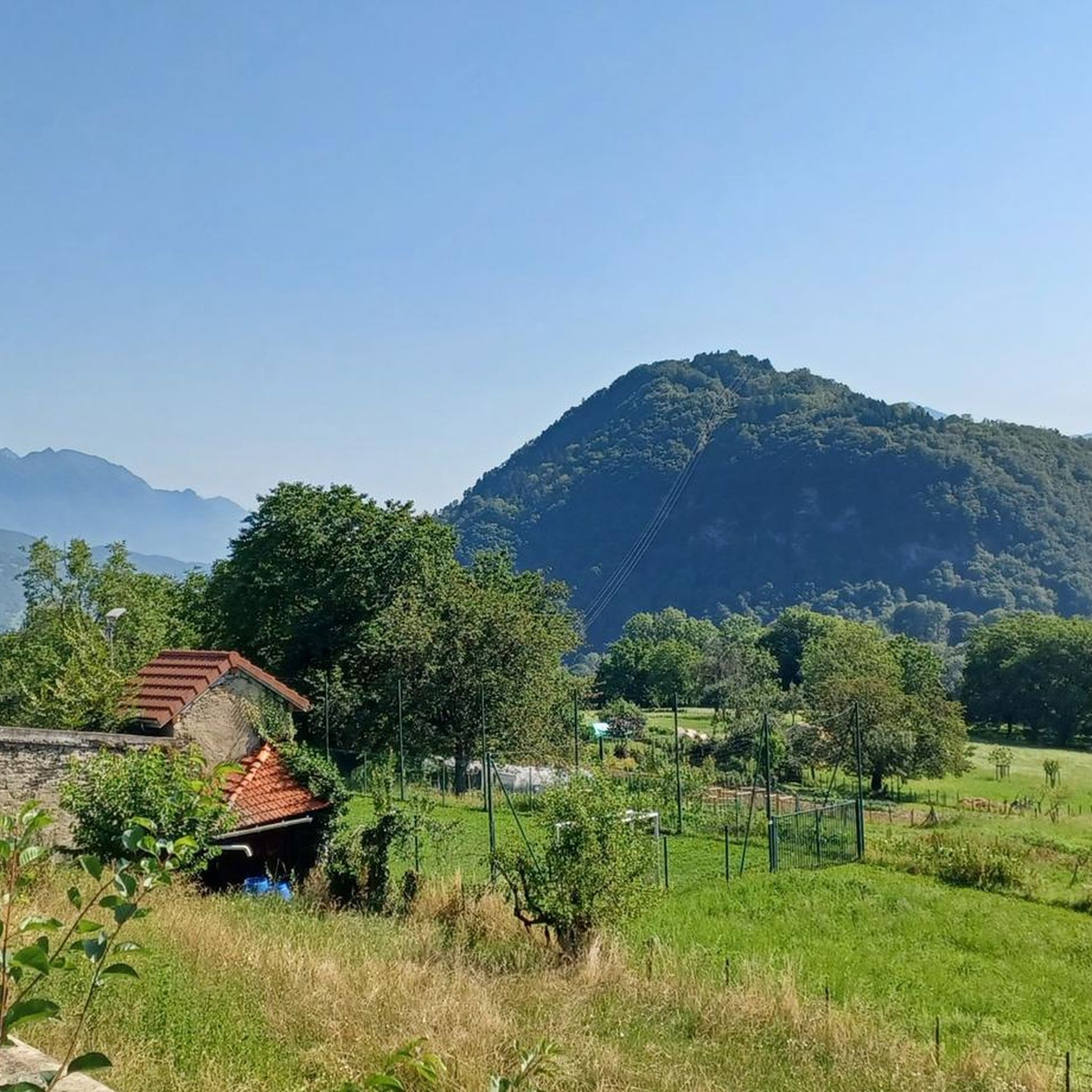
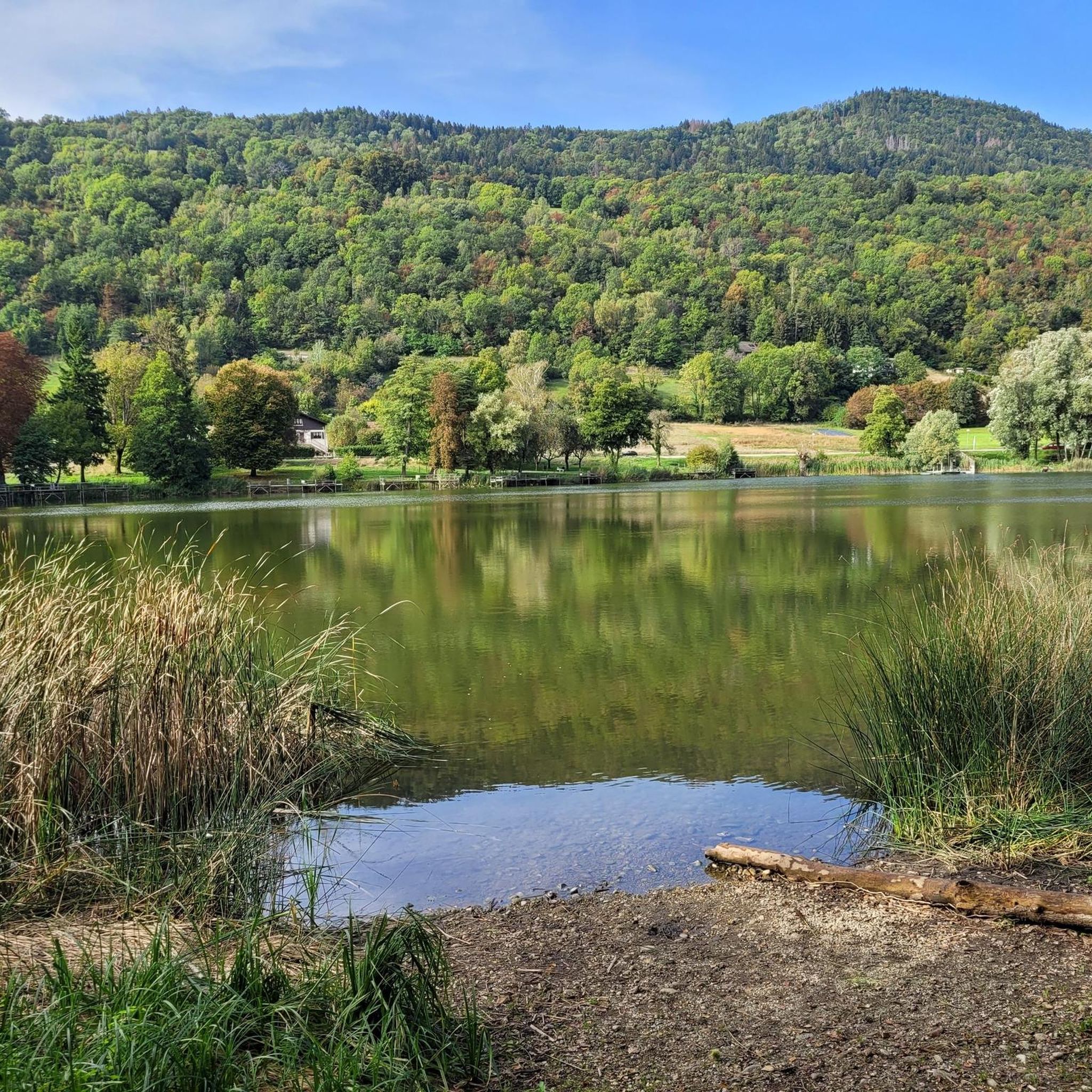
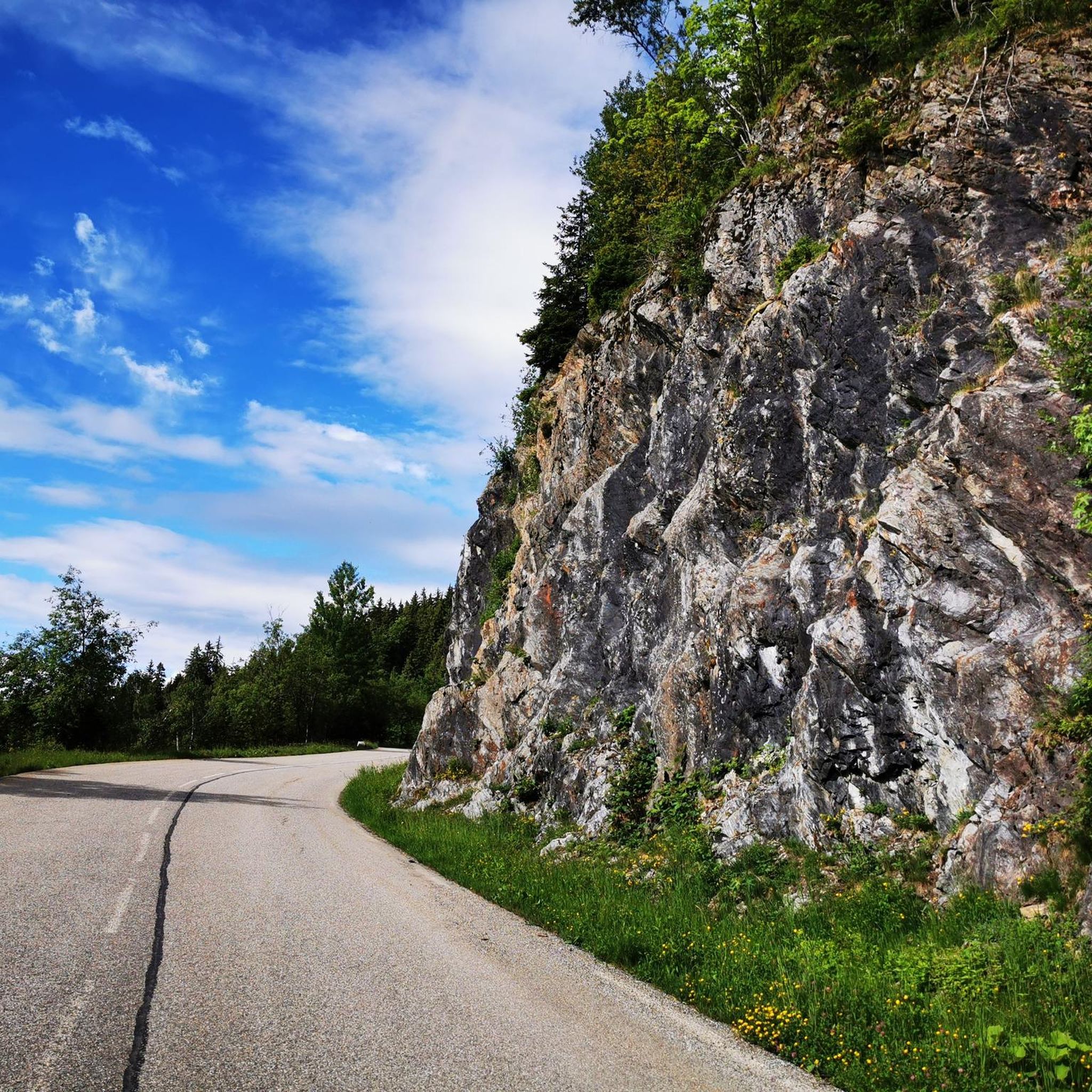
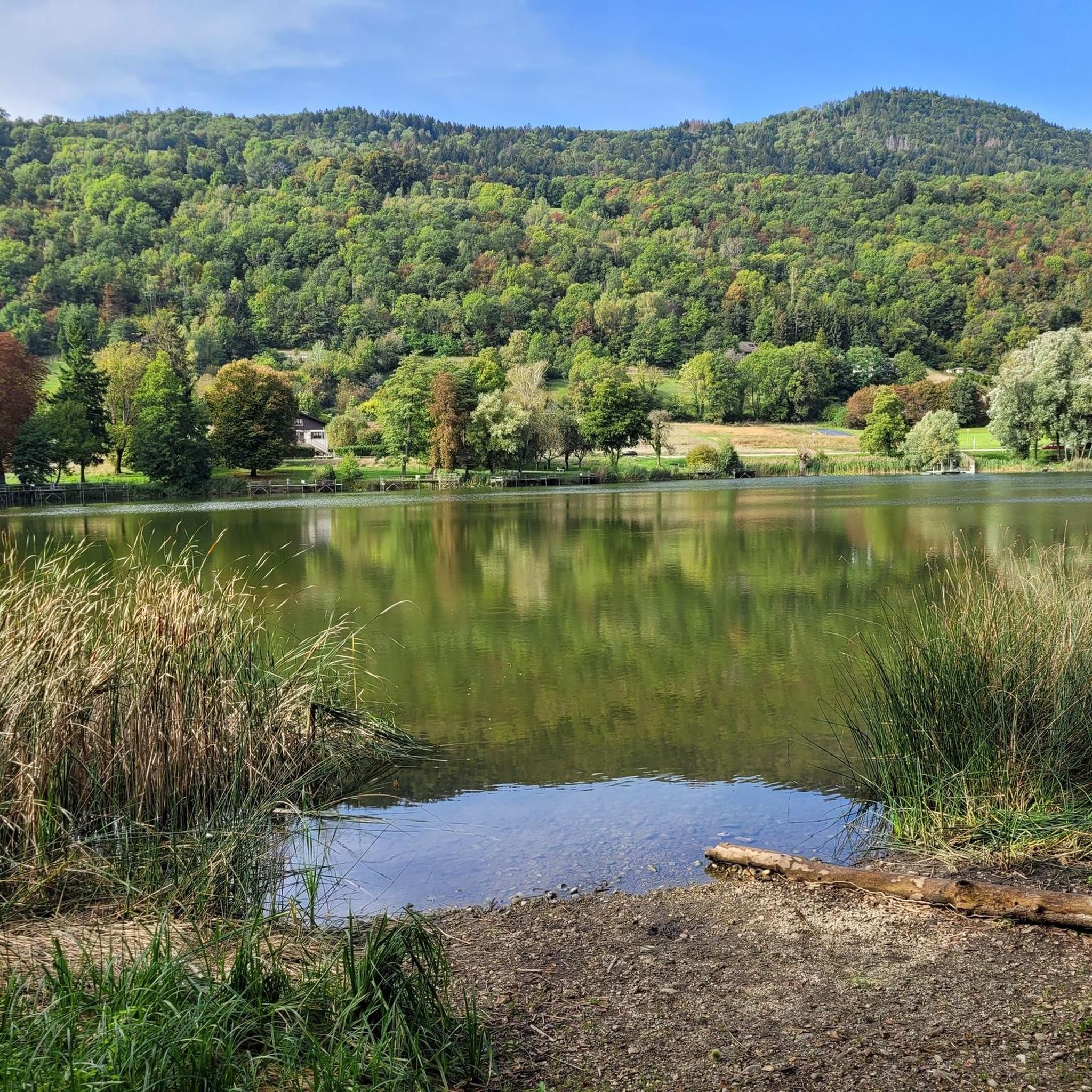

Tips from the Community

just magnificent, keep it secret or almost....
0
0

Very nice pass; % real on the terminals. Hard but really quiet, because very few vehicles. Not very long either.
1
0

Val Pelouse – 1728 m – is a little-known climb and often ignored by cyclists because it leads nowhere.
0
0

In response to CamilleD, a useful link: https://climbfinder.com/fr/montees/col-de-marocaz-arbin The % indicated on the terminals correspond to the average percentage over the km following the terminal. It seems that this nice pass deserves the % indicated. Pass covered on a Sunday afternoon, little attendance, mainly motorbikes.
1
0

It's beautiful but it's steep. Sustained passages at 9/10%. But it's beautiful! And then very few cars so a real pleasure.
1
0

The Col de Cochette from La Trinité is 2.99 km long with a total drop of 237 m. The average gradient is 7.9% with maximum gradients of 10%. From Villard-d'Héry, it is 1.89 km with an average gradient of 7.8%. There is a total drop of 148m.
2
0

And also and especially in good weather on Mont Blanc my dear Chloé 🤪
0
0

This passage at 1,868 meters above sea level offers pretty views of the peaks of the Grands Moulins (2,498 meters) and the Grand Miceau (2,631 meters) in particular. 400 meters separate you here from the summit of Grand Collet.
0
0
Frequently Asked Questions
What are some of the most scenic mountain passes near Le Moutaret?
For breathtaking views, consider Occiput Pass, located at 1,868 meters above sea level, offering vistas of the Grands Moulins and Grand Miceau peaks. Another excellent choice is Col de la Perche, situated at 1,986 meters with views between Pointe de Rognier and Chapotet.
Are there any mountain passes suitable for cyclists looking for a challenging climb?
Absolutely. Marocaz Pass is considered one of the most beautiful and challenging climbs in the region, known for its minimal car traffic, making it a great access point for cycling in the Bauges. Another option is Col de Cochette (587 m), which presents an intermediate challenge with an average gradient of 7.9% from La Trinité.
What kind of outdoor activities can I do near the mountain passes around Le Moutaret?
The region around Le Moutaret, particularly the Belledonne Massif, offers numerous opportunities for outdoor activities. You can find various mountain hikes, running trails, and road cycling routes. These range from moderate to difficult, catering to different fitness levels.
What is the best time of year to visit the mountain passes near Le Moutaret?
Given the mountain climate of the Auvergne-Rhône-Alpes region, the best time to visit for hiking and cycling is typically from late spring through early autumn (May to October). During these months, the weather is generally more favorable, and the passes are clear of snow, offering optimal conditions for exploration.
Are there any less-known mountain passes for those looking to avoid crowds?
Yes, Val Pelouse, at 1728 meters, is a lesser-known climb that is often overlooked by cyclists because it doesn't lead to a major destination. This can make it a quieter option for those seeking solitude and a unique experience away from more popular routes.
What are the typical elevations of mountain passes in this area?
The mountain passes around Le Moutaret vary significantly in elevation. For instance, Col de Cochette is at 587 meters, while Occiput Pass reaches 1,868 meters, and Col de la Perche is at 1,986 meters. This variety offers options for different levels of ascent and panoramic views.
What makes Le Moutaret a good base for exploring mountain passes?
Le Moutaret is strategically located at an approximate altitude of 559 meters, directly facing the imposing Belledonne mountain range. This position makes it an excellent starting point for accessing the surrounding mountainous regions, particularly the Belledonne Massif, which is renowned for its challenging and scenic mountain passes.
What kind of terrain can I expect on mountain pass trails around Le Moutaret?
The terrain around Le Moutaret's mountain passes is typical of a mountain climate, offering a mix of challenging climbs and intermediate trails. You can expect varied surfaces, from paved roads on cycling passes to more rugged paths on hiking trails, often with significant elevation changes as you ascend through the Belledonne Massif.
Are there any viewpoints along the mountain passes near Le Moutaret?
Many of the mountain passes in the area offer excellent viewpoints. For example, Col de Cochette (587 m) is noted as a viewpoint, and Occiput Pass provides pretty views of the Grands Moulins and Grand Miceau peaks. These spots are ideal for enjoying the panoramic scenery of the Auvergne-Rhône-Alpes region.
What are some popular hiking routes near Le Moutaret's mountain passes?
For hikers, the region offers a variety of routes. You can explore trails like the 'Lac du Collet – Les Plagnes loop from Le Collet d'Allevard' or the more challenging 'Les Grands Moulins – Grande Montagne d'Arvillard loop from Parking de Val Pelouse'. For more options, refer to the Mountain Hikes around Le Moutaret guide.
What do visitors particularly appreciate about the mountain passes in this area?
Visitors to the mountain passes around Le Moutaret frequently appreciate the challenging climbs, the scenic viewpoints, and the variety of intermediate trails available. The komoot community has shown strong engagement, contributing numerous photos and upvotes, highlighting the area's appeal for outdoor enthusiasts.
Most popular routes around Le Moutaret
Most popular attractions around Le Moutaret

Get inspired with the komoot mobile app


Explore more
See even more epic mountain passes by checking out these guides around Le Moutaret:
