Top 8 Natural Monuments around Rondefontaine
Best natural monuments around Rondefontaine are primarily explored through a network of hiking trails within the Haut-Jura Regional Natural Park. This region offers diverse landscapes, including forests, meadows, lakes, and mountainous terrain. Visitors can experience exceptional natural settings and opportunities for wildlife observation. The area features significant geological formations and water sources, providing varied natural attractions.
Best natural monuments around Rondefontaine
- The most popular natural monuments is The source of the Doubs, a river that is a powerful karst…
Last updated: July 16, 2026
The source of the Doubs
Highlight • River
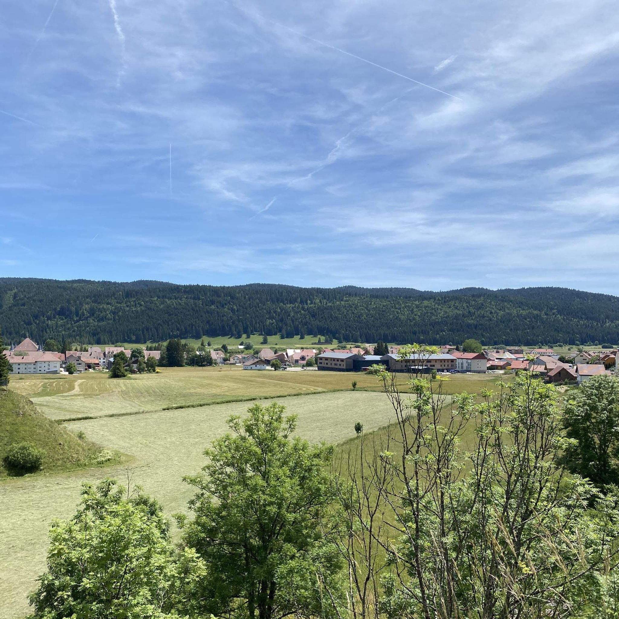
On this promontory you can also admire the superb peat bogs of Mouthe in the background, and the forest of Haute-Joux in the background.
Translated by Google •
Tip by

Lac de Saint-Point
Highlight • Lake
Translated by Google •
Tip by

Sign up now to discover places like this
Get recommendations on the best single tracks, peaks, & plenty of other exciting outdoor places.
Sign up for free
Route du Lac de Saint-Point
Highlight (Segment) • Lake
Translated by Google •
Tip by

Saine Spring
Highlight (Segment) • River
Translated by Google •
Tip by

Two Lakes Viewpoint
Highlight • Viewpoint
Translated by Google •
Tip by
Sign up for free to discover even more natural monuments around Rondefontaine.
Sign up for free
Already have an account?
Start today with a free account
Your next adventure awaits.
Login or Signup

Tips from the Community

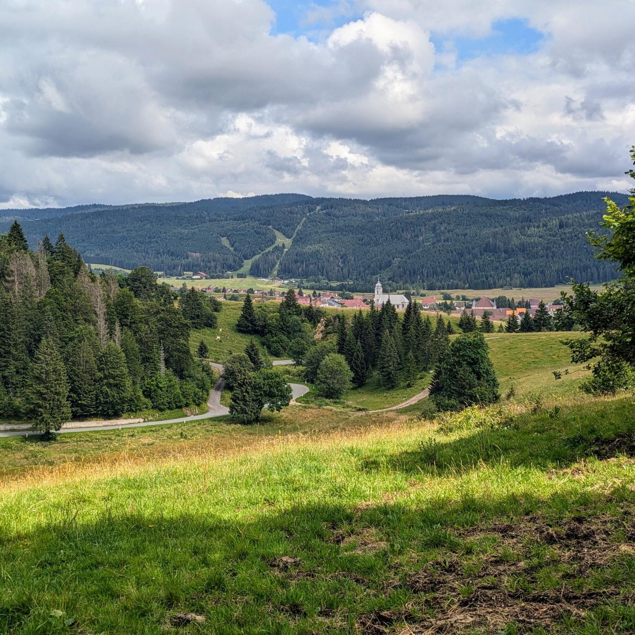
Viewpoint above the Doubs source with beautiful views through a forest clearing to Mouthe and the Doubs river.
6
0
The source of the Doubs River is a powerful karst spring in a heavily karstified area of the Jura Mountains. It lies at an altitude of 937 meters at the foot of the forested, up to 1,419-meter-high Mont Risoux mountain range, which straddles the border between France and Switzerland. The Doubs River rises from a small, approximately five-meter-deep spring basin in a cave in the rock.
6
0

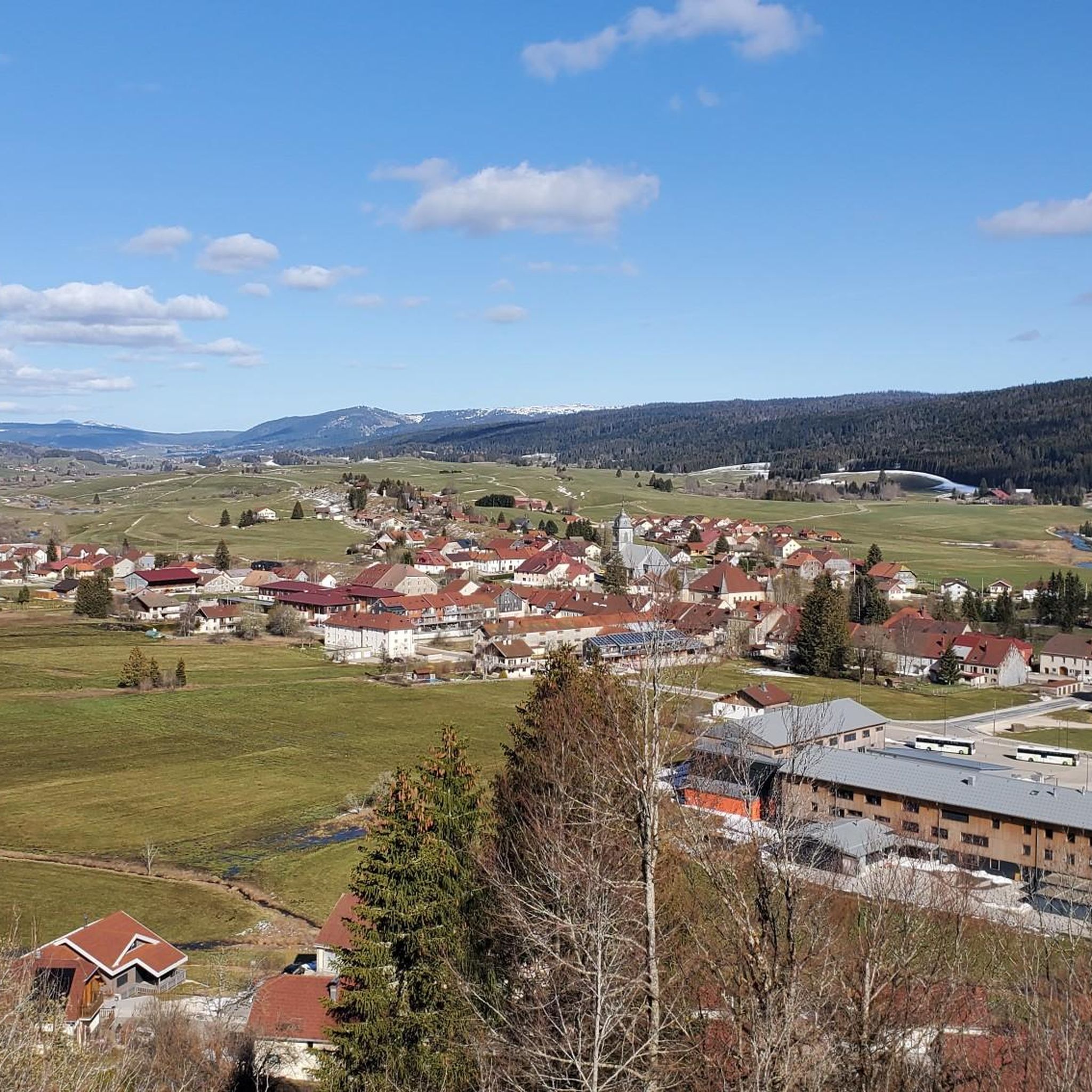
This lake, known for its bright blue water, crosses the Doubs in a 'valley'. This lake once formed one large body of water together with Lake Remoray. The lake is 6.3 km long and 800m wide, making it the fourth largest natural lake in France. In winter it freezes. By constructing a dam on the north side, it helps regulate the water of the Doubs.
6
0
This lake, known for its brilliant blue water, crosses the Doubs River in a valley. It once formed a single, large body of water along with Lake Remoray. The lake is 6.3 km long and 800 m wide, making it the fourth-largest natural lake in France. It freezes over in winter. Thanks to the construction of a dam on its north side, it helps regulate the flow of the Doubs.
6
0

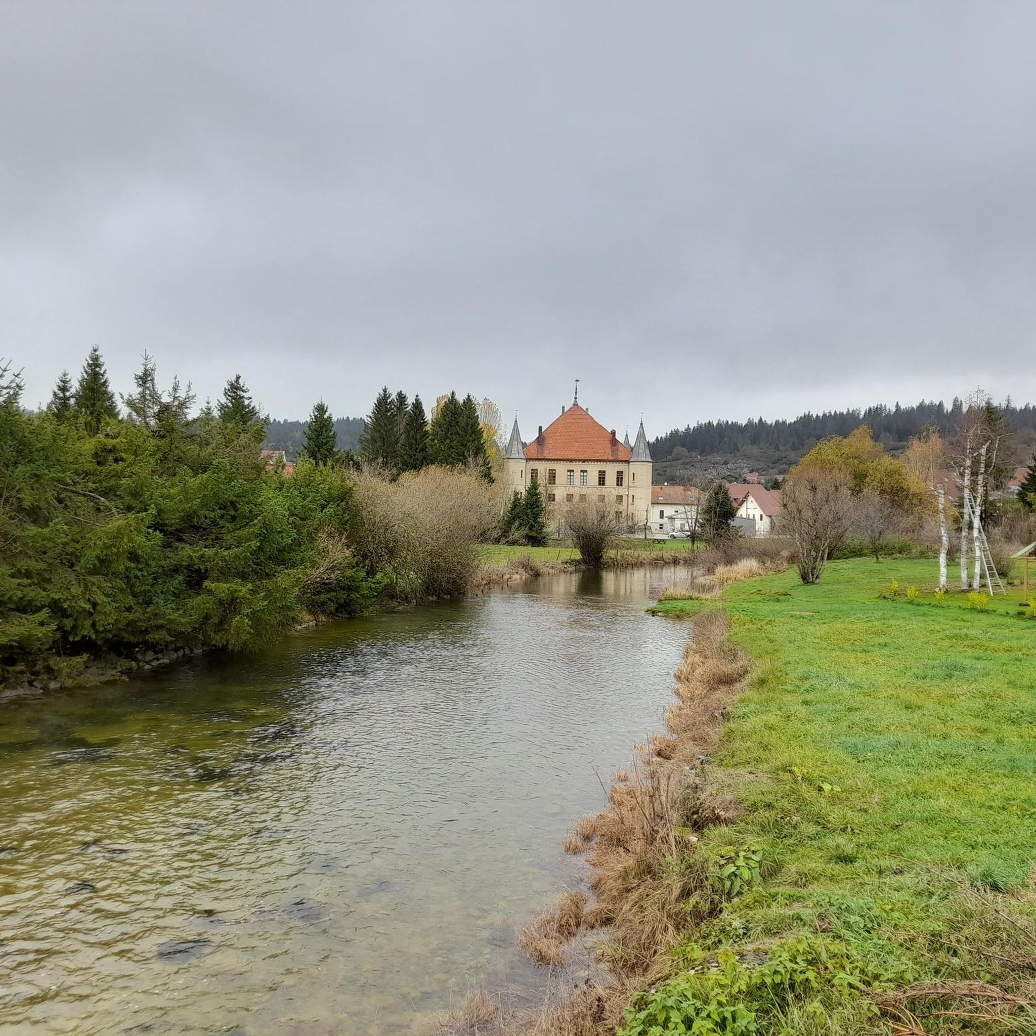
Formerly, the lakes of Remoray and Saint-Point were one. From this superb viewpoint, you can appreciate the different environments created by the separation of the two bodies of water: lakes, marshes, peat bogs, rivers, meadows and forests. A unique point of view in a perfect alignment which allows you to enjoy all the beauty of this typical landscape of Haut-Doubs.
0
0


The water source of the Doubs is actually fed by an underground outflow from nearby Lac du Joux, Switzerland, above the ridge line.
2
0
This belvedere accompanies the source of the Doubs below and offers a breathtaking view of the Haute-Joux forest.
2
0
Frequently Asked Questions
What types of natural features can I expect to see around Rondefontaine?
The Rondefontaine area, nestled within the Haut-Jura Regional Natural Park, offers a diverse range of natural features. You can explore powerful karst springs like The source of the Doubs and Saine Spring, expansive glacial lakes such as Lac de Saint-Point, and numerous viewpoints offering panoramic vistas of forests, meadows, and mountainous terrain. The region is characterized by its rivers, lakes, and significant geological formations.
Are there any significant geological formations or water sources to visit?
Yes, Rondefontaine is known for its impressive water sources and geological features. A must-see is The source of the Doubs, a powerful karst spring located at 937 meters altitude, offering views of the peat bogs of Mouthe. Another notable site is Saine Spring, a wild and preserved river source accessible via a short wooden footbridge, where you can learn about the local ecosystem.
What are some popular viewpoints in the Rondefontaine area?
For breathtaking views, visit the Two Lakes Viewpoint, which offers a unique perspective on the former single body of water that separated into Lac de Remoray and Lac de Saint-Point. This spot allows you to appreciate the diverse environments of lakes, marshes, peat bogs, rivers, meadows, and forests. Additionally, the promontory above The source of the Doubs provides beautiful views through a forest clearing towards Mouthe and the Doubs river.
What kind of wildlife might I encounter when visiting the natural monuments?
The natural areas around Rondefontaine, particularly within the Haut-Jura Regional Natural Park, offer opportunities for wildlife observation. Visitors to Saine Spring might spot chamois. The region's forests, meadows, and lakes, such as the Lac Bleu, are home to varied local fauna, including ducks and swans, making it a rewarding experience for nature enthusiasts.
What hiking opportunities are available near Rondefontaine's natural monuments?
The Rondefontaine area is excellent for hiking, with trails catering to various skill levels. You can explore routes like the 'Source of the Doubs Loop Trail' (easy, 4.3 km) or more moderate options such as 'The source of the Doubs – Tourbières de Moutat loop from Mouthe' (9.5 km). For a comprehensive list of trails, check out the Hiking around Rondefontaine guide.
Are there easy or family-friendly walks among the natural monuments?
Yes, several options are suitable for families and beginners. The 'Lac Bleu Loop' (Boucle du Lac Bleu), a 6-kilometer trail with wide paths and a moderate gradient, is ideal for a leisurely stroll and picnicking. Additionally, the 'Chemins Ruraux around Petit Bois' offer flat trails perfect for all ages, including children and pets, with playful exploration opportunities under the forest canopy. Many highlights, like Lac de Saint-Point and Saine Spring, are also marked as family-friendly.
Can I go cycling near the natural monuments?
Absolutely! The region offers challenging cycling routes. For example, you can take on the 'Lake Remoray – Route du Lac de Saint-Point loop from Mouthe' (64.8 km, difficult) or the 'Mouthe – Source of the Doubs loop from Mouthe' (19.9 km, moderate). Find more cycling adventures in the Cycling around Rondefontaine guide.
What is the best time of year to visit the natural monuments around Rondefontaine?
The natural monuments around Rondefontaine can be enjoyed throughout the year, with each season offering a unique experience. Spring and autumn provide pleasant temperatures for hiking and vibrant scenery. Summer is ideal for enjoying the lakes and longer days. In winter, the region transforms into a snowy landscape, and Lac de Saint-Point even freezes over, offering a different kind of beauty.
How can I access the natural monuments, and is parking available?
Access to the natural monuments is generally good, primarily via a network of trails. While specific parking details for each site vary, many popular trailheads and attractions like The source of the Doubs and Lac de Saint-Point have designated parking areas nearby. Public transport options might be limited, so driving is often the most convenient way to reach many of these sites.
Are there any cafes or restaurants near the natural monuments for refreshments?
While the natural monuments themselves are often in pristine, undeveloped areas, you can find cafes, pubs, and restaurants in nearby villages and towns, such as Rondefontaine itself or Mouthe. It's advisable to check local listings for specific establishments and their operating hours, especially during off-peak seasons.
What should I wear or bring when visiting the natural monuments?
Given the varied terrain and weather conditions in the Haut-Jura, it's recommended to wear appropriate outdoor clothing and sturdy hiking shoes. Layers are always a good idea, as temperatures can change. Don't forget water, snacks, sun protection, and a camera to capture the stunning views. For specific trails, consider bringing a map or using a navigation app.
Are there options for running trails near the natural monuments?
Yes, the area provides several running trails. You can try the 'La source du Doubs — loop — running in the parc naturel régional du Haut-Jura' (easy, 4.3 km) or more challenging routes like 'Mouthe – The source of the Doubs loop from Mouthe' (24.9 km, difficult). For more running options, consult the Running Trails around Rondefontaine guide.
Most popular routes around Rondefontaine
Most popular attractions around Rondefontaine

Get inspired with the komoot mobile app


Explore more
Extend your search for the best caves by checking out these guides of the top ones around Rondefontaine:
