The 15 Most Amazing Peaks around Rothenbrunnen
Mountain peaks around Rothenbrunnen serve as a gateway to the broader mountainous landscape of Graubünden, offering diverse hiking opportunities amidst alpine scenery. The region features elevated points like the Dreibündenstein, a historical site at 2,156 meters, and the nearby Furggabüel mountain at 2,174 meters. These areas provide expansive views of the surrounding mountains and valleys. The trails around Rothenbrunnen vary in difficulty, catering to different fitness levels and offering views of natural monuments.
Best mountain peaks around Rothenbrunnen
- The most…
Last updated: October 10, 2026
Dreibündenstein Monument
Highlight • Monument
Showing Translation
Tip by

Valendas Wooden Fountain
Highlight • Monument
Translated by Google •
Tip by

Sign up now to discover places like this
Get recommendations on the best single tracks, peaks, & plenty of other exciting outdoor places.
Furggabüel (2,174 m)
Highlight • Summit
Translated by Google •
Tip by

Feldis/Veulden
Highlight • Settlement
Feldis/Veulden (German and until 1943 officially Feldis, Rhaeto-Romanic Veulden) is a village that belongs to the political municipality of Domleschg
Feldis is first mentioned at the end of the …
Translated by Google •
Tip by

Ustria Trin Station
Highlight • Restaurant
There …
Translated by Google •
Tip by

Sign up for free to discover even more peaks around Rothenbrunnen.
Already have an account?
Start today with a free account
Your next adventure awaits.

Tips from the Community

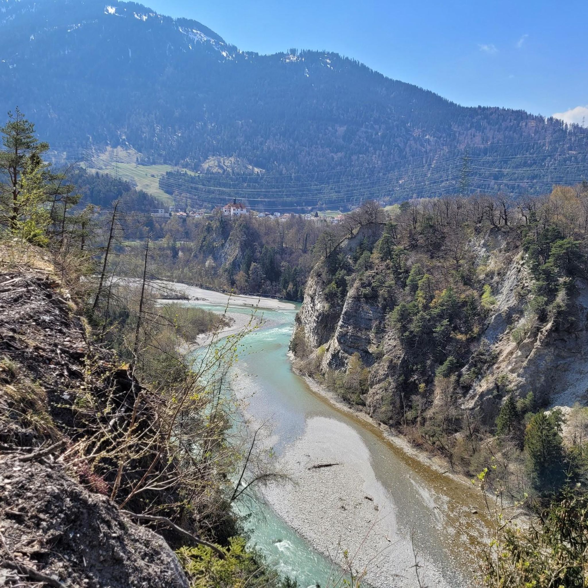
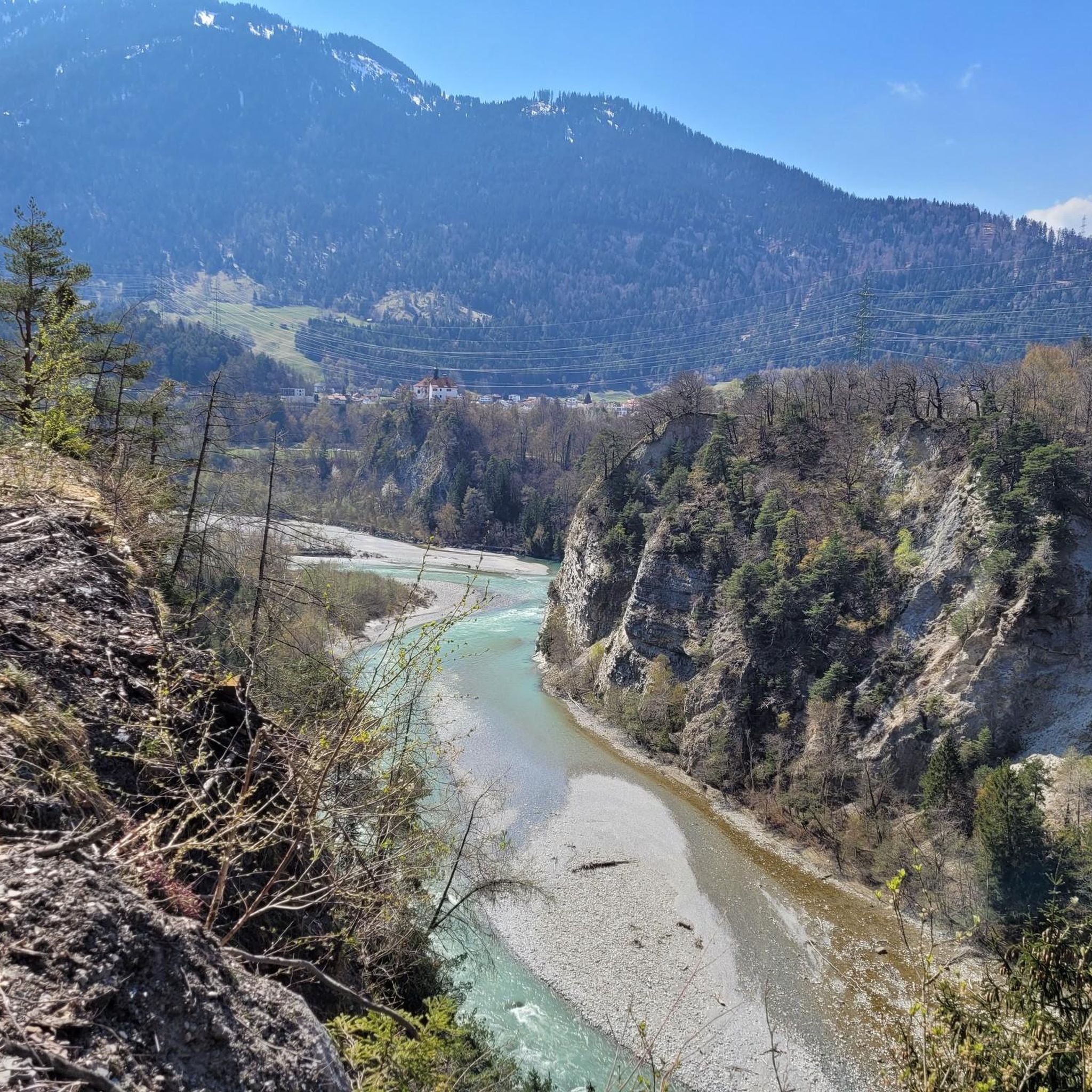
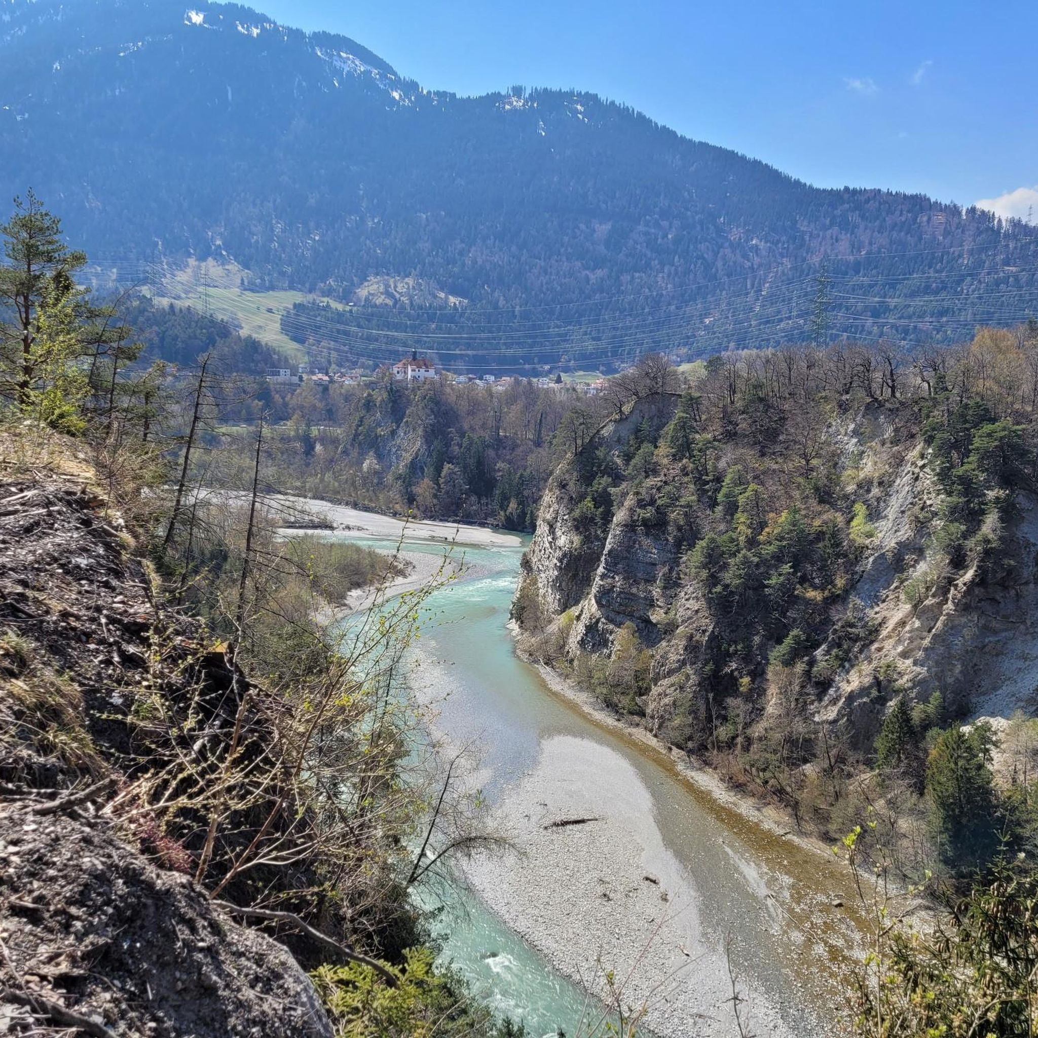
Between Trin Station and Reichenau there is an official ban on cycling, the path is exclusively for hikers.
1
0

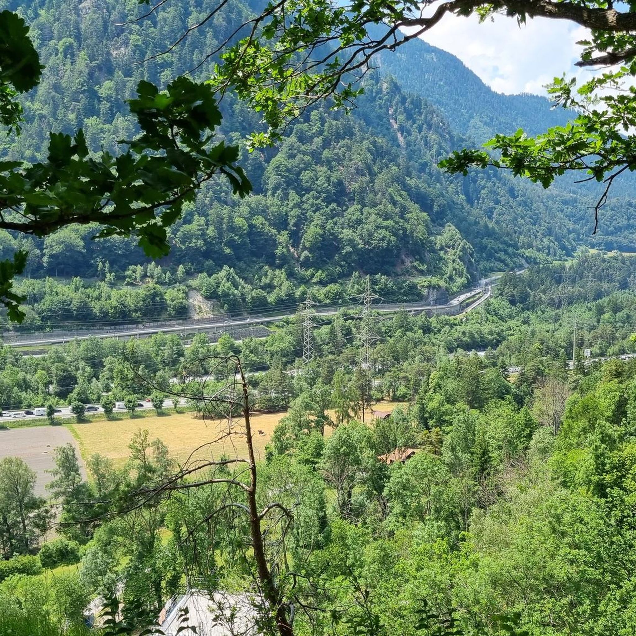
looks very beautiful, like from a picture book - beautiful, a view straight out of the book
0
0

Furggabüel is the name of the peak on which the somewhat more famous highlight, the Dreibündenstein, is located. The stone is located about 200 meters south of the 2,174 meter high Furggabüel.
2
0
Huge, flat village fountain in the middle of the old, pretty village center of Valendas. Right next to it is the upscale Gasthaus am Brunnen (15 points Gault Millau).
2
0


The Dreibündenstein in Graubünden is a hill at an altitude of 2,156 metres south of the city of Chur and the Furggabüel mountain, which is at an altitude of 2,174 metres. They are only separated by a 15-metre-high saddle and a distance of 500 metres. The point is not a mountain peak, but a historical place. It was the only triple border point of the former Free State of the Three Leagues. The original stone from 1722 is on display in the Rätschen Museum Chur. The replacement stone from 1915 bears the three coats of arms of the Three Leagues. The Three Leagues included the Grey League with the judicial community of Rhäzüns, the Church League of Ortenstein Castle and the Ten Courts League of Churwalden. In winter, a chairlift goes to Furggabüel from Hühnerköpfle, which is at an altitude of 1,947 metres above the Spundissee.
2
2
The Dreibündenstein in Graubünden is an elevation at 2,156 meters above sea level south of the city of Chur and of the mountain Furggabüel, which lies at 2,174 meters above sea level. They are separated only by a 15-meter high saddle and 500 meters distance. The point is not a mountain peak, but a historical site. It was the sole triple border point of the former Free State of the Three Leagues. The original stone from 1722 is exhibited in the Rätisches Museum Chur. The replacement stone from 1915 bears the three coats of arms of the Three Leagues. The Three Leagues included the Grey League with the judicial community of Rhäzüns, the League of the Ten Jurisdictions from Churwalden, and the League of God's House from Ortenstein Castle.
5
0

The wooden fountain, the landmark of Valendas, was built in 1760. At the beginning of the 20th century, residents still fetched their water and washed their clothes here. To this day, guarded by a water nymph, it remains the heart of the village.
6
0
Frequently Asked Questions
What are the most notable elevated points or peaks to visit around Rothenbrunnen?
The region around Rothenbrunnen features several significant elevated points. The most popular is the Dreibündenstein Monument, a historical site at 2,156 meters. Nearby, you'll find Furggabüel (2,174 m), a summit offering magnificent views. Another beloved spot is Feldis/Veulden, a settlement known for its excellent views of the Oberland.
What kind of views can I expect from the mountain peaks in the Rothenbrunnen area?
From elevated points like the Dreibündenstein Monument and Furggabüel, you can expect expansive panoramic views of the surrounding Graubünden mountains and valleys. Furggabüel specifically offers magnificent views of the Rhine Valley. The settlement of Feldis/Veulden also provides top views towards the Oberland.
Are there any historical sites among the elevated points near Rothenbrunnen?
Yes, the Dreibündenstein Monument is a significant historical site. It marks the only triple border point of the former Free State of the Three Leagues, a historical alliance in Graubünden. The replacement stone from 1915, bearing the three coats of arms of the Leagues, stands at the site, commemorating this historical significance.
Are there easy mountain hikes or accessible elevated points near Rothenbrunnen?
The area around Rothenbrunnen offers hiking trails of varying difficulty. While some routes are challenging, there are also easier walks with minimal elevation gain, suitable for different fitness levels. The Dreibündenstein Monument area is accessible via hiking trails, and the settlement of Feldis/Veulden is also known for its accessibility.
What is the terrain and difficulty level of hiking around Rothenbrunnen's peaks?
The hiking trails around Rothenbrunnen vary significantly in difficulty. You can find easy walks lasting up to two hours with minimal elevation gain, as well as more challenging hikes that can last over five hours and involve significant elevation changes, requiring good fitness and sure-footedness. These trails often lead through picturesque landscapes, offering diverse experiences.
How can I reach the Dreibündenstein Monument and Furggabüel?
Both the Dreibündenstein Monument and Furggabüel are accessible via hiking trails. In winter, a chairlift goes to Furggabüel from Hühnerköpfle, which is above the Spundissee, making it easier to reach the area.
Are the mountain trails around Rothenbrunnen suitable for families?
Yes, the region offers diverse hiking experiences, including routes suitable for families. The settlement of Feldis/Veulden is noted as family-friendly, and many trails around Rothenbrunnen are designed to accommodate different fitness levels, including easier walks that families can enjoy together.
What is the best time of year to visit the mountain peaks around Rothenbrunnen?
The best time to visit depends on your preferred activity. The region offers beautiful hiking opportunities throughout the warmer months, typically from late spring to early autumn, when trails are clear of snow. For winter activities, the area around Furggabüel and Dreibündenstein is accessible via chairlift for winter sports enthusiasts.
What outdoor activities can I do near the mountain peaks around Rothenbrunnen?
Beyond exploring the peaks themselves, the Rothenbrunnen area offers a variety of outdoor activities. You can find numerous hiking trails, ranging from easy to difficult, that lead through picturesque landscapes. There are also running trails and cycling routes available, allowing you to experience the region's natural beauty in different ways.
Are there places to eat or stay near the mountain peaks?
Yes, for those exploring the Dreibündenstein area, the Skihütte Term Bel (Emser Skihütte) is a great destination for hikers. It offers a cozy place to stop in the middle of the mountains and even provides overnight accommodation. Additionally, the settlement of Feldis/Veulden, with its historical significance, also provides facilities for visitors.
What do visitors enjoy most about the mountain peaks around Rothenbrunnen?
Visitors particularly appreciate the diverse alpine summits, historical elevated sites, and scenic viewpoints. The area is highly regarded by the komoot community, with over 190 upvotes and more than 110 photos shared, highlighting the beautiful landscapes and rewarding experiences found on its trails.
Can I bring my dog on the mountain trails near Rothenbrunnen?
Generally, many hiking trails in the Graubünden region are dog-friendly, allowing you to explore the mountainous landscape with your canine companion. However, it's always advisable to check local regulations or specific trail signs for any restrictions, especially in nature reserves or protected areas, and to keep your dog on a leash where required.
Most popular routes around Rothenbrunnen
Most popular attractions around Rothenbrunnen

Get inspired with the komoot mobile app


Explore more
See even more amazing summits around Rothenbrunnen with these guides:
