Top 8 Mountain Passes around Montrottier
Best mountain passes around Montrottier are found within the Monts du Lyonnais, a region characterized by its hilly terrain. Montrottier itself is situated in the Monts de Tarare, at an average altitude of about 669 meters, with its highest point reaching 851 meters. The area features rural charm, historic buildings, and picturesque landscapes. While no prominent passes are directly within Montrottier's boundaries, several notable passes are accessible in the broader Monts du Lyonnais, offering scenic views and opportunities for outdoor…
Last updated: July 4, 2026
Malval Pass (732 m)
Highlight • Mountain Pass
Translated by Google •
Tip by

Col de la Croix de Mazieux
Highlight • Mountain Pass
Translated by Google •
Tip by

Sign up now to discover places like this
Get recommendations on the best single tracks, peaks, & plenty of other exciting outdoor places.
Sign up for free
Croix-de-Part Pass
Highlight • Viewpoint
Translated by Google •
Tip by

Col des Brosses
Highlight • Mountain Pass
Translated by Google •
Tip by
↗ "Col des Cassettes" from Tarare
Highlight (Segment) • Mountain Pass
Translated by Google •
Tip by

Sign up for free to discover even more mountain passes around Montrottier.
Sign up for free
Already have an account?
Start today with a free account
Your next adventure awaits.
Login or Signup
Tips from the Community

No matter which way you climb, every climb has its charm.
0
0


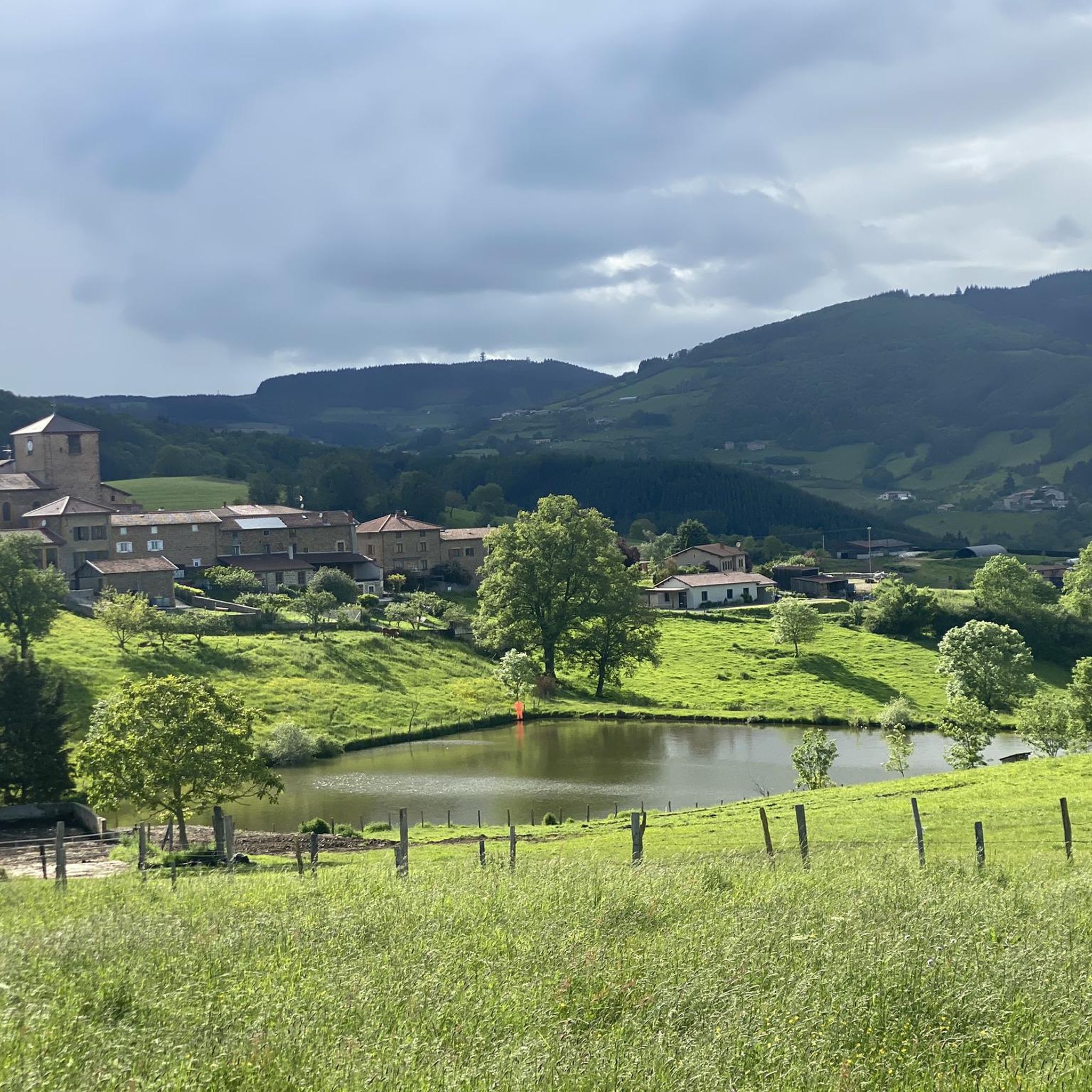
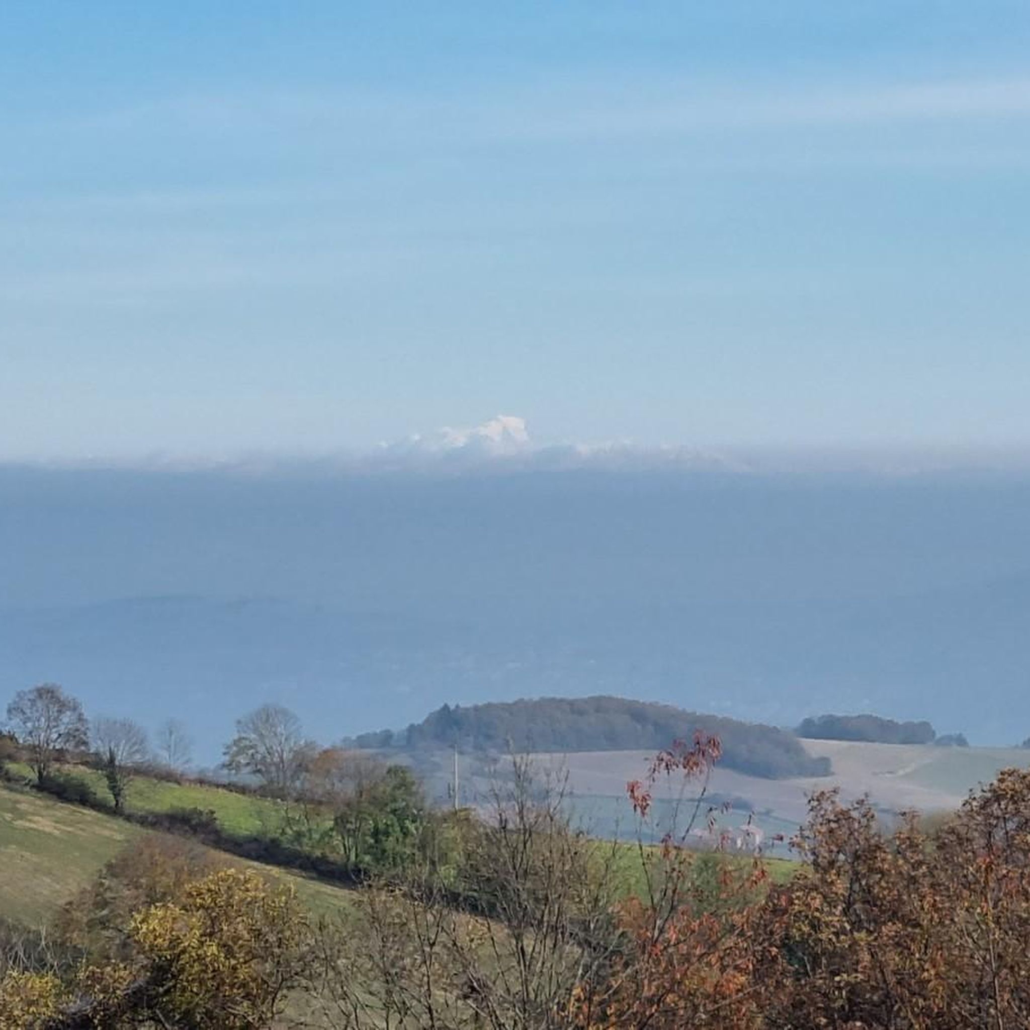
The Col de Malval, in the Monts du Lyonnais, rises to an altitude of 732 metres. Even though the climb is mainly through forest, a few clearings allow you to enjoy the views of Lyon and the Alps.
1
0

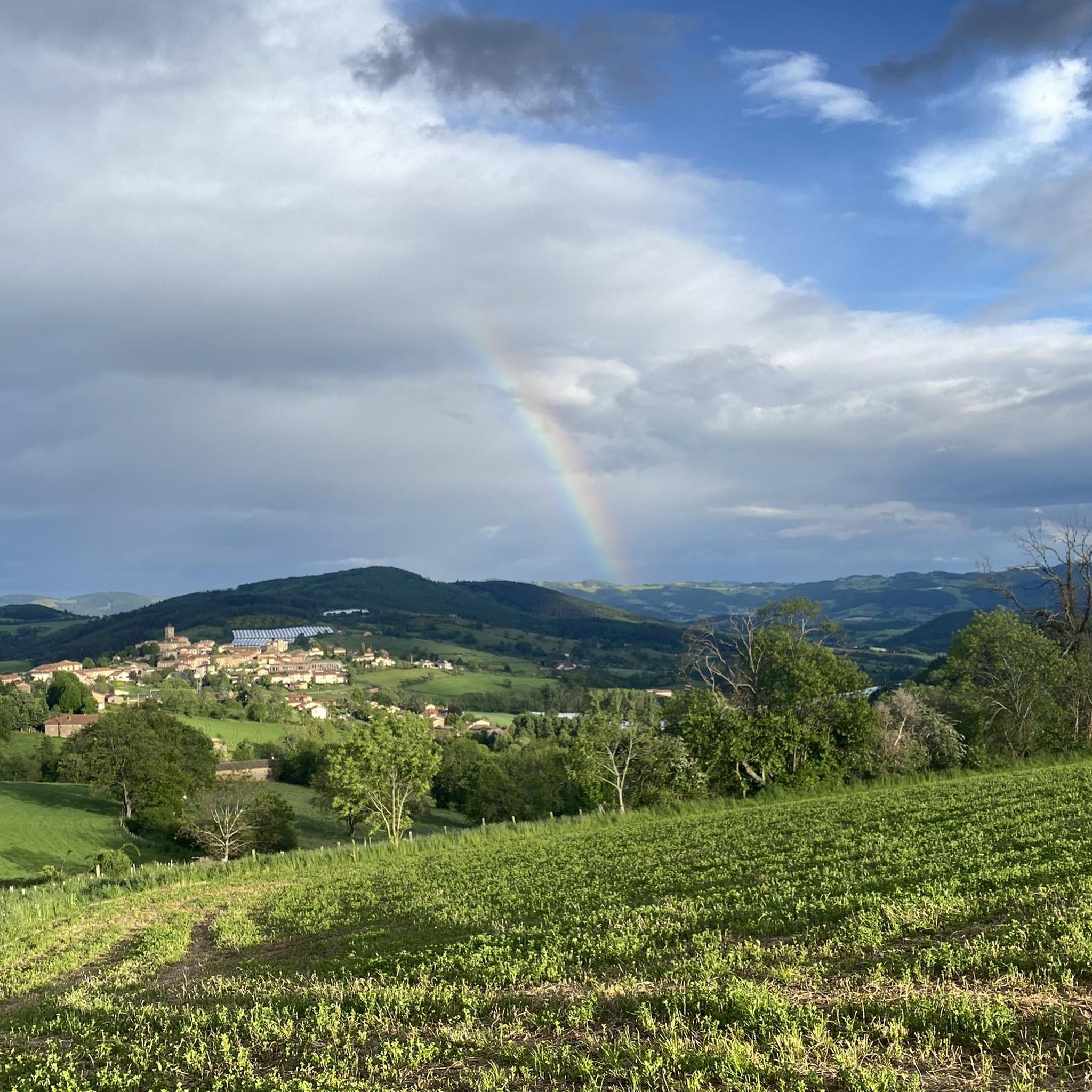
Cross marking the Col de Mazieux.
0
0

Tipping point on the ridge between several valleys. Very pleasant climb from Saint Julien sur Bibost.
0
0
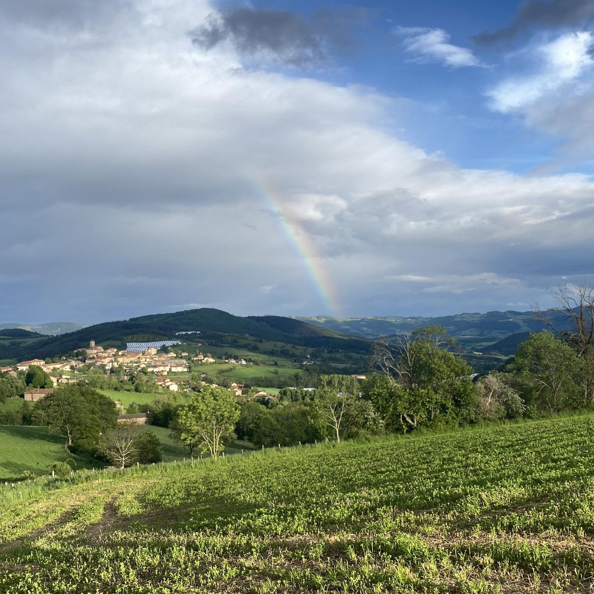
Passage of the Tour de France 2019 in the direction Courzieu - Croix de Part.
0
0
Frequently Asked Questions
Which mountain passes around Montrottier offer the best panoramic views?
For spectacular views, consider the Malval Pass (732 m), which provides clearings with vistas of Lyon and the distant Alps. The Col des Brosses also offers a clear view and a peaceful spot for a break. Additionally, the Croix-de-Part Pass, at 811 meters, can offer views of Lac du Ronzey on clear days.
Are there any family-friendly mountain passes near Montrottier?
Yes, the Malval Pass (732 m) is categorized as family-friendly, offering a rewarding experience through forested areas with occasional views. When planning, always consider the specific route and the fitness level of your family members.
What kind of outdoor activities can I do near the mountain passes around Montrottier?
The region around Montrottier is excellent for various outdoor activities. You can find numerous hiking trails, such as the 'Site of the Three Chapels – Crêt Favary loop' or the 'Col de la Croix de Mazieux loop'. For cyclists, there are many MTB trails, including the 'Montrottier – Col de la Croix de Mazieux loop'. You can explore more options on the hiking guide, MTB trails guide, and running trails guide for Montrottier.
Which mountain passes are known for challenging climbs for cyclists?
The Malval Pass (732 m) offers a challenging climb mainly through forest. The Croix-de-Part Pass is also well-known among regional cyclists for its ascent to 811 meters. The Col de la Croix de Mazieux from Saint-Forgeux features an average gradient of 5% with maximums of 9%.
What natural features can I expect to see when visiting these passes?
You'll encounter predominantly forested landscapes, especially on the ascent to Malval Pass (732 m). Many passes offer clearings with panoramic views of the surrounding Monts du Lyonnais, the city of Lyon, and even the distant Alps on clear days. You might also spot Lac du Ronzey from the Croix-de-Part Pass.
Is there parking available at or near the mountain passes?
Yes, for example, the Croix-de-Part Pass is noted to have a parking lot, making it a convenient starting point for hikes and cycling routes. For other passes, parking is generally available in nearby villages or designated areas at the base of the climbs.
What is the best time of year to visit the mountain passes around Montrottier?
The Monts du Lyonnais region is generally pleasant for outdoor activities from spring through autumn. Summer offers a refreshing atmosphere, particularly in forested areas. However, be aware that in winter, places like the Croix-de-Part Pass can experience harsh conditions with patches of ice, so check local weather forecasts before your visit.
Are there any less crowded or 'hidden gem' passes to explore?
While not entirely hidden, the Col des Cassettes (622 m) offers a quiet climb with rural landscapes and views of wind turbines, making it a peaceful alternative to more frequented spots. It's a small pass accessible from Tarare or Valsonne.
What do visitors appreciate most about the mountain passes in this region?
Visitors often highlight the rewarding views, especially from passes like Malval Pass (732 m), which offers glimpses of Lyon and the Alps. The peaceful atmosphere at spots like Col des Brosses and the challenging yet scenic climbs for cyclists are also highly valued.
Can I access these mountain passes using public transport?
Montrottier itself is characterized by its rural charm, and while public transport options might be limited directly to the passes, you can often reach nearby towns or villages by bus. From there, you might need to cycle or hike to the passes. It's advisable to check local transport schedules for the Monts du Lyonnais region.
Are there any passes that are particularly good for gravel or mountain biking?
The broader Monts du Lyonnais area, which encompasses Montrottier, offers passes suitable for gravel or mountain biking. For instance, the ascent to the Col de la Croix des Fourches (mentioned in regional research) allows access to forest ridge roads ideal for these activities, providing a refreshing atmosphere.
What is the elevation of the mountain passes around Montrottier?
The passes in the region vary in elevation. For example, the Malval Pass reaches 732 meters, the Croix-de-Part Pass is at 811 meters, and the Col des Cassettes is at 622 meters. Montrottier itself is situated at an average altitude of about 669 meters, with its highest point reaching 851 meters.
Most popular routes around Montrottier
Most popular attractions around Montrottier

Get inspired with the komoot mobile app


Explore more
See even more epic mountain passes by checking out these guides around Montrottier:
