The 20 Most Amazing Peaks around Vaz/Obervaz
Best mountain peaks around Vaz/Obervaz offer a diverse landscape for exploration. This region in Graubünden is characterized by its mountainous terrain, providing numerous summits and viewpoints. Visitors can experience a range of elevations and historical sites within the natural environment. The area presents opportunities to engage with the alpine surroundings.
Best mountain peaks around Vaz/Obervaz
- The most popular mountain peaks is Weisshorn Summit (2,653 m), a summit that offers extensive views in all directions. It can be reached by…
Last updated: September 26, 2026
Parpaner Rothorn Summit
Highlight • Summit
Translated by Google •
Tip by

Dreibündenstein Monument
Highlight • Monument
Showing Translation
Tip by

Sign up now to discover places like this
Get recommendations on the best single tracks, peaks, & plenty of other exciting outdoor places.
Weisshorn Summit (2,653 m)
Highlight • Summit
Translated by Google •
Tip by
Lenzerheide
Highlight • Settlement
Translated by Google •
Tip by

Hörnli Trail Summit
Highlight • Summit
Translated by Google •
Tip by
Sign up for free to discover even more peaks around Vaz/Obervaz.
Already have an account?
Start today with a free account
Your next adventure awaits.
Popular around Vaz/Obervaz
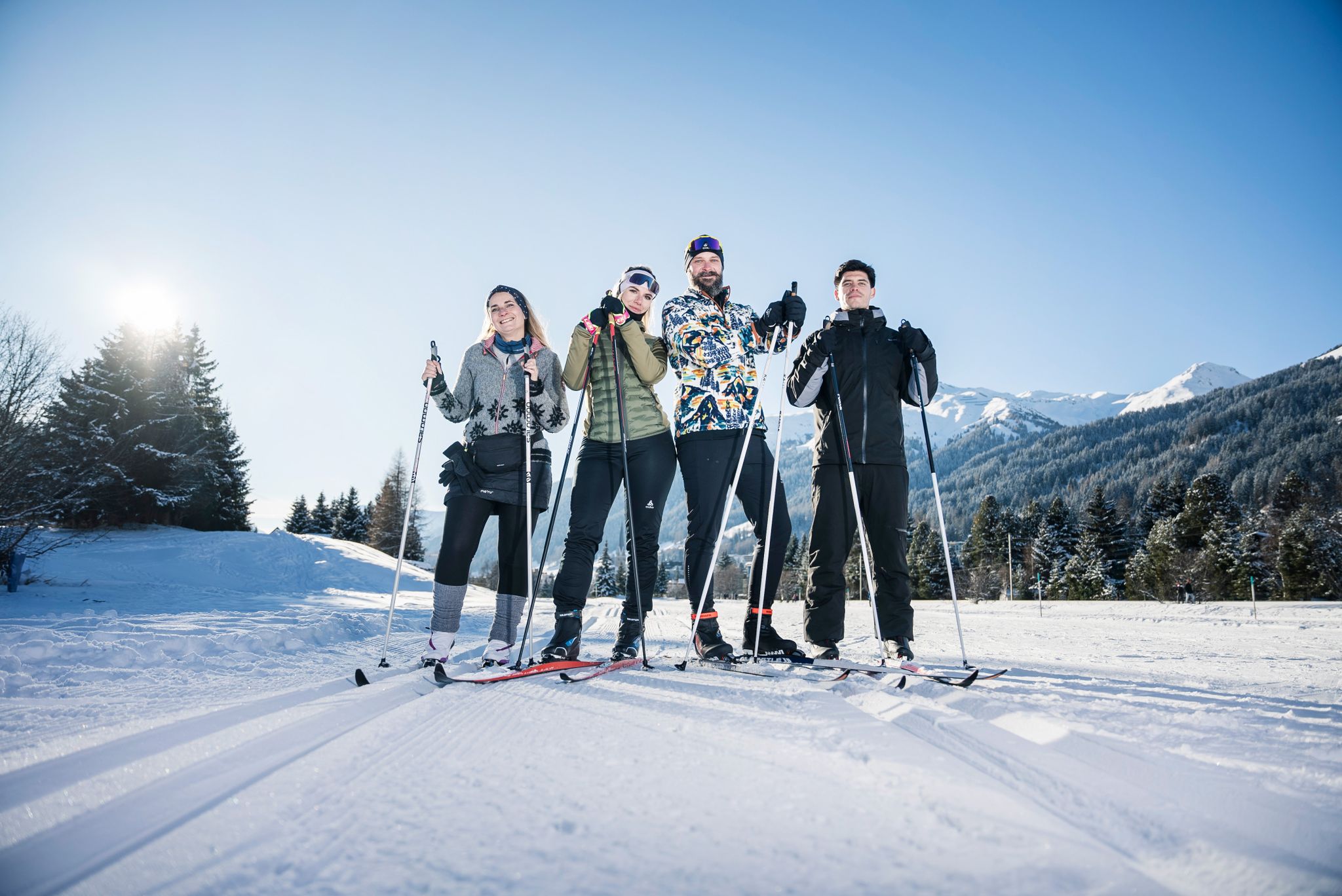
«Everyone runs long»: Cross-country ski trail tips from Graubünden
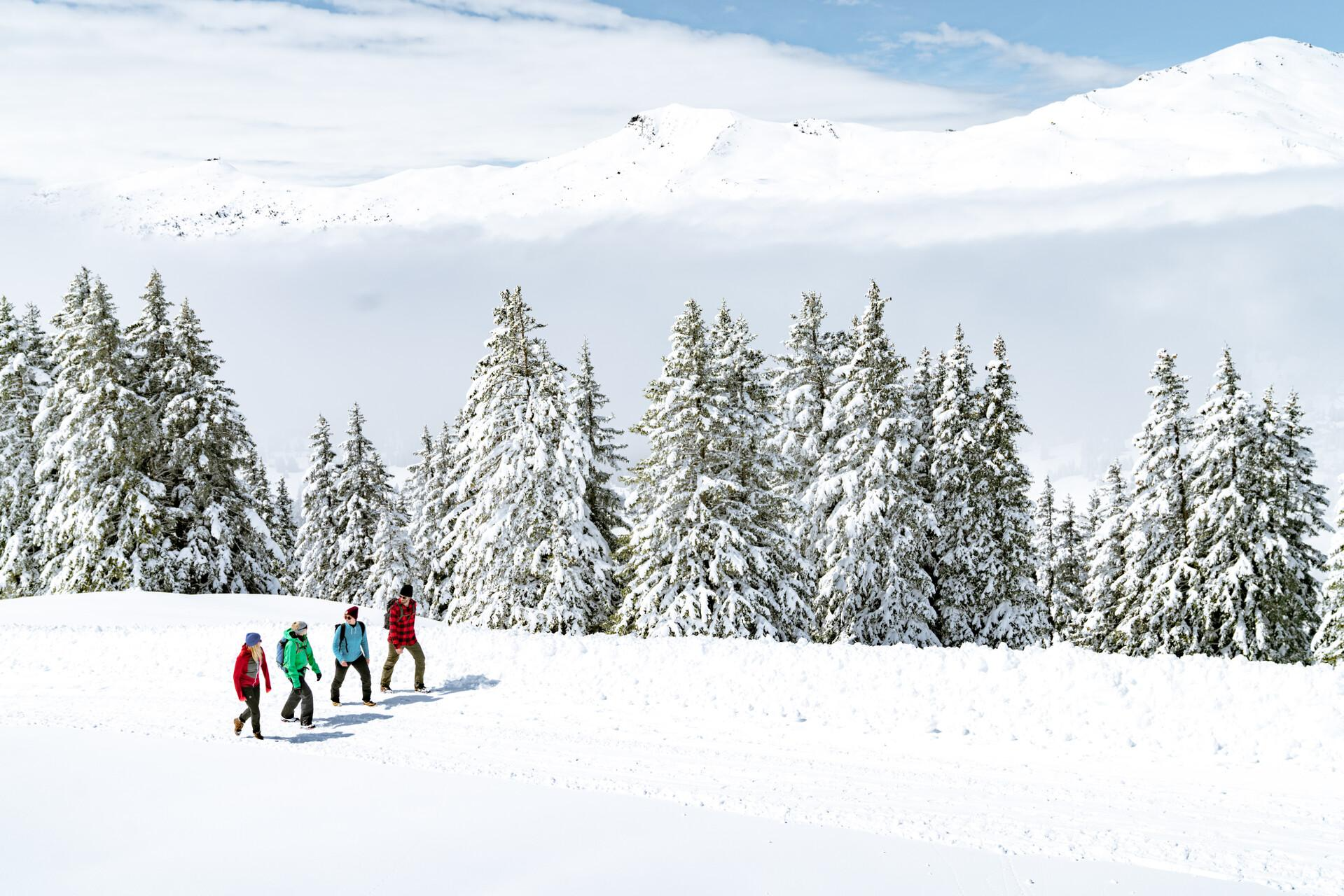
Immerse yourself in Lenzerheide's winter wonderland
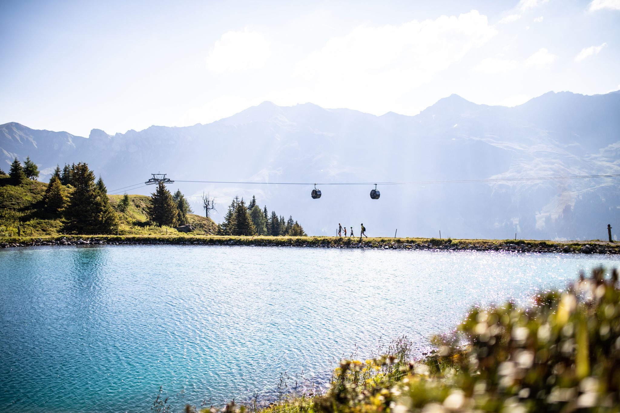
From the peaks to the cool waters – Coolcation Lenzerheide
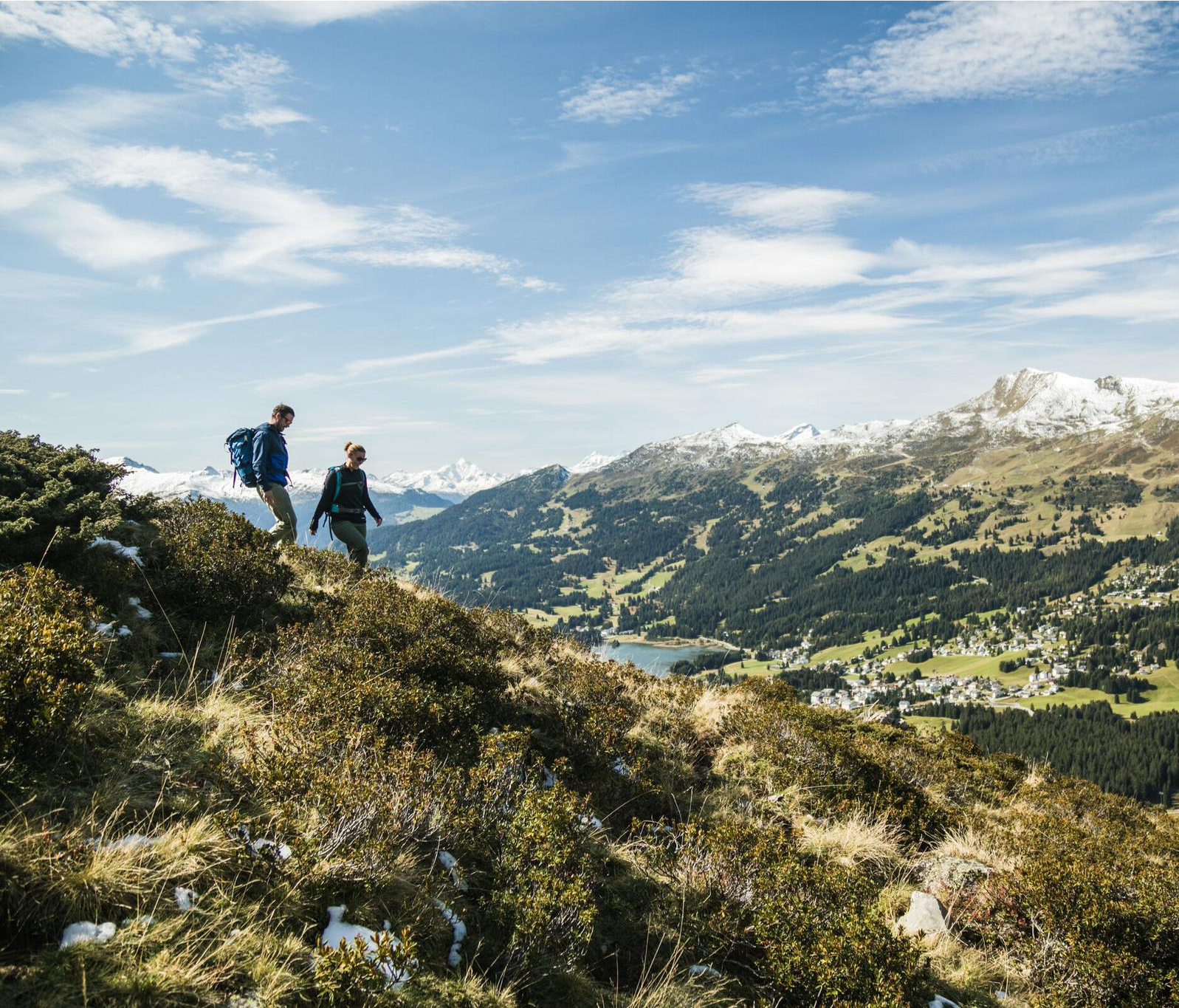
Diverse natural beauty – autumn hiking in Lenzerheide
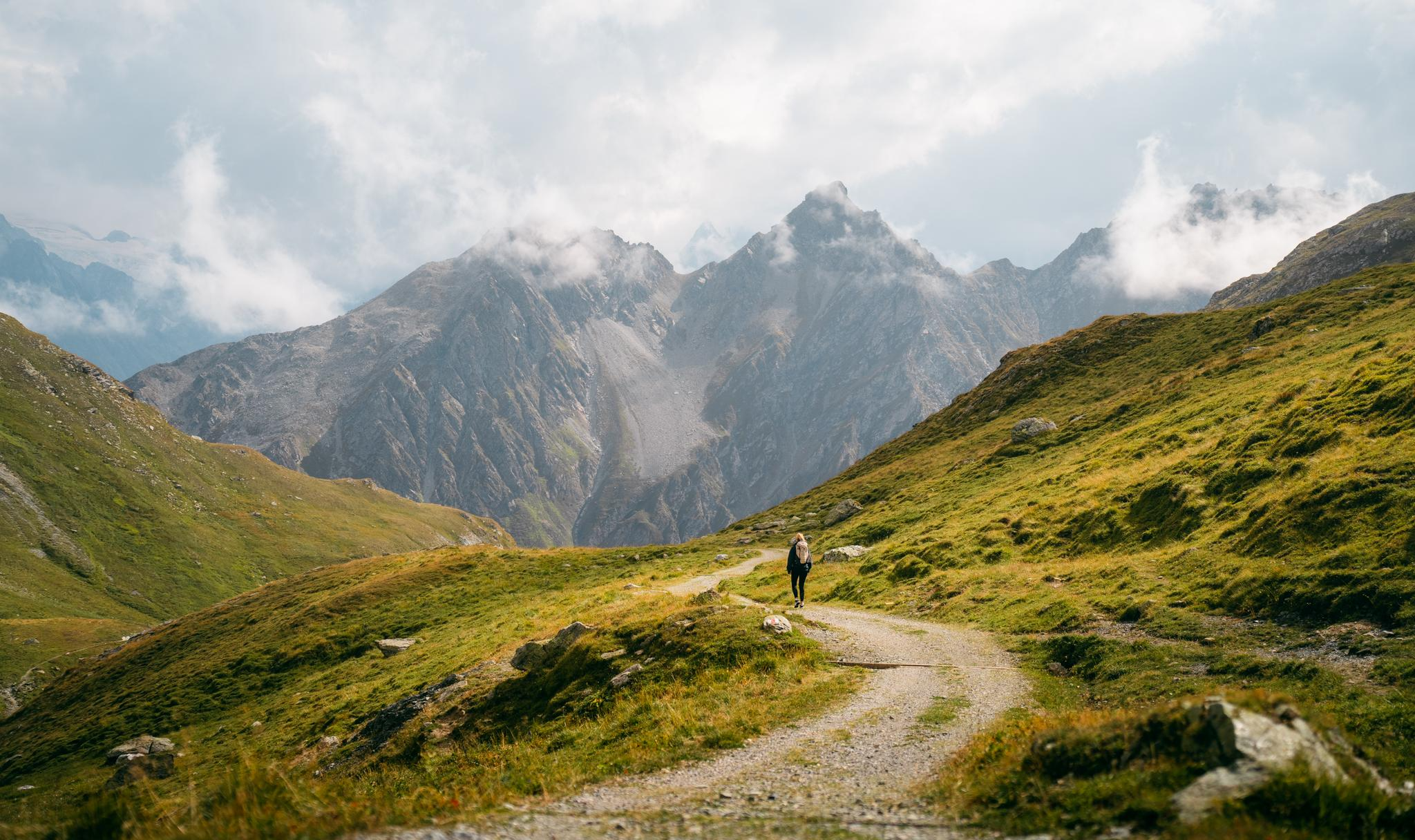
Quiet villages, proud passes, impressive history – the Via Sett
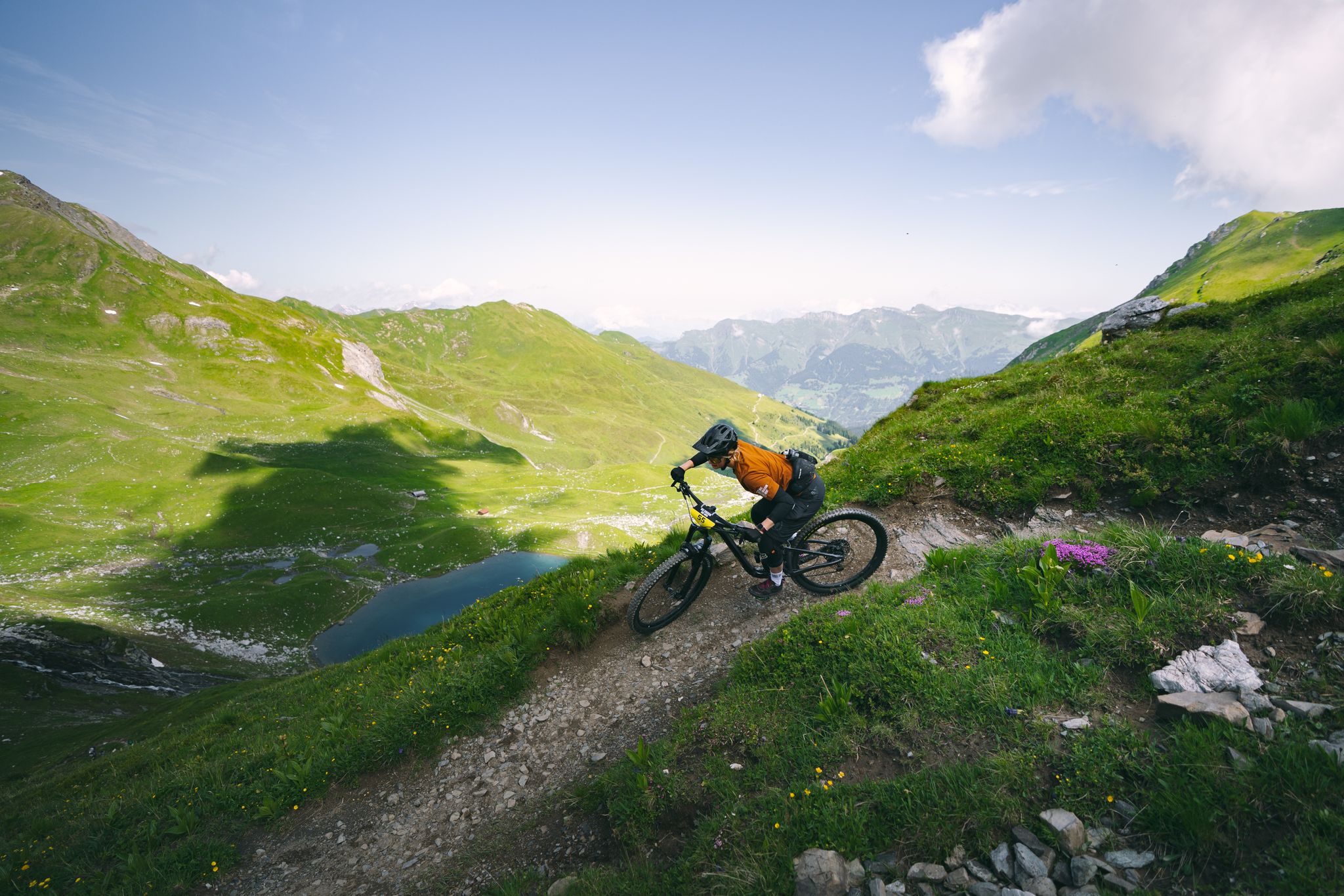
Hundreds of kilometres of trails and endless peaks - MTB in Arosa
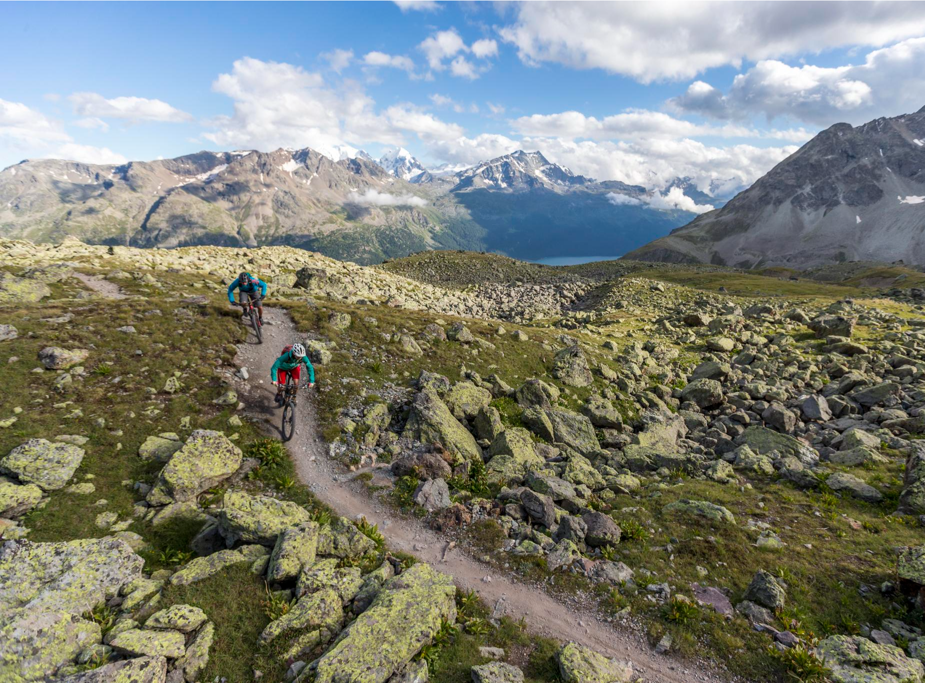
Consideration on the trails – it just makes sense!
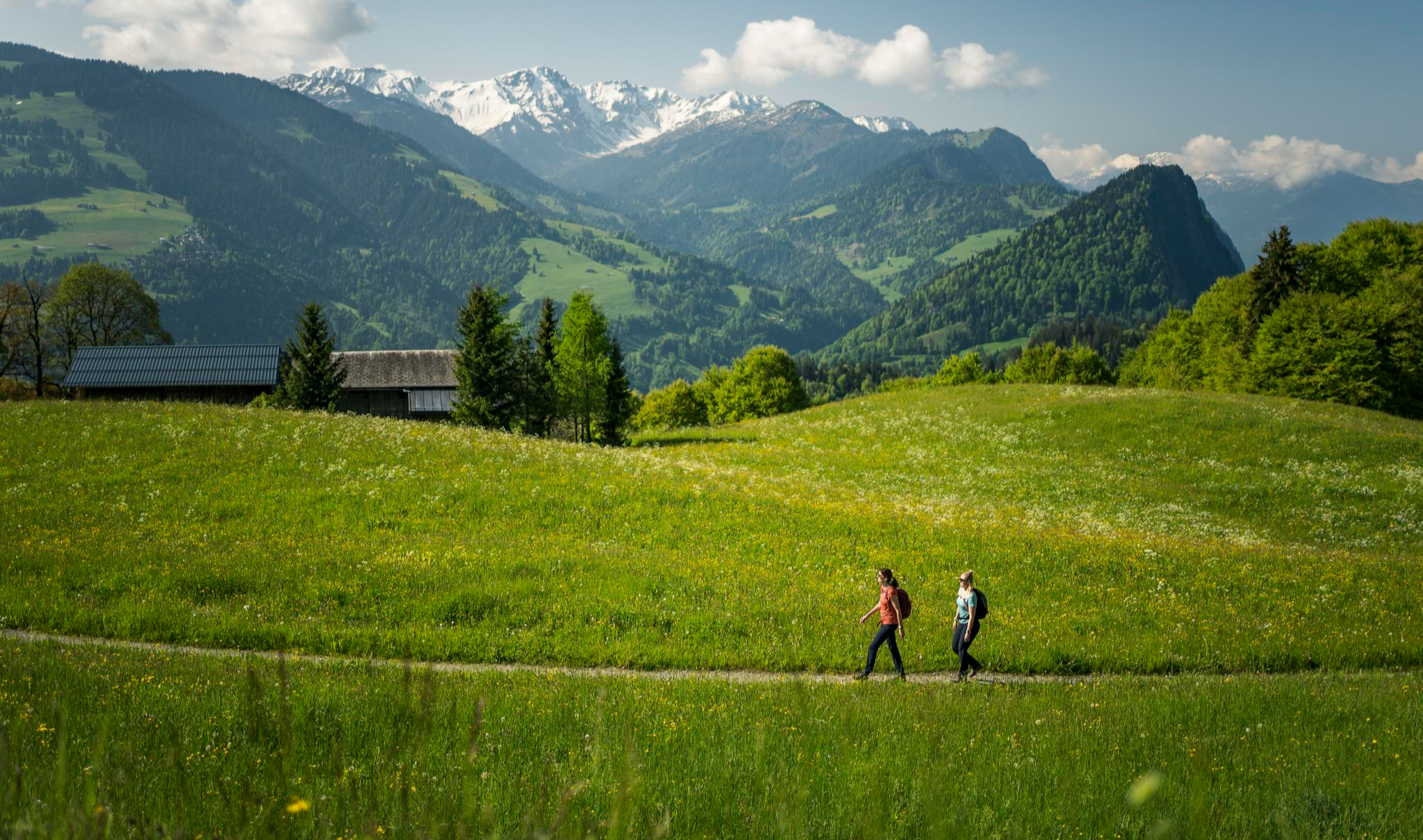
Hiking with respect and tolerance – it just makes sense!
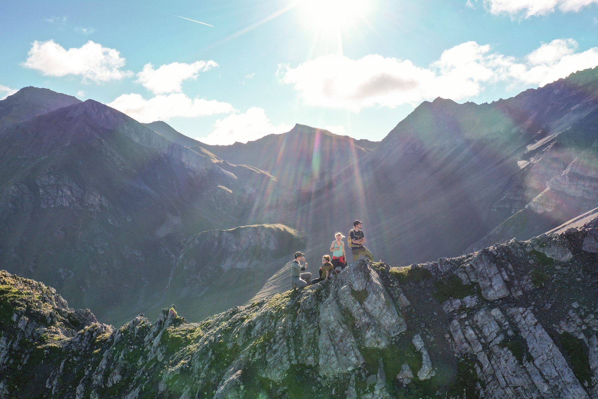
Satisfy your wanderlust in the Lenzerheide region
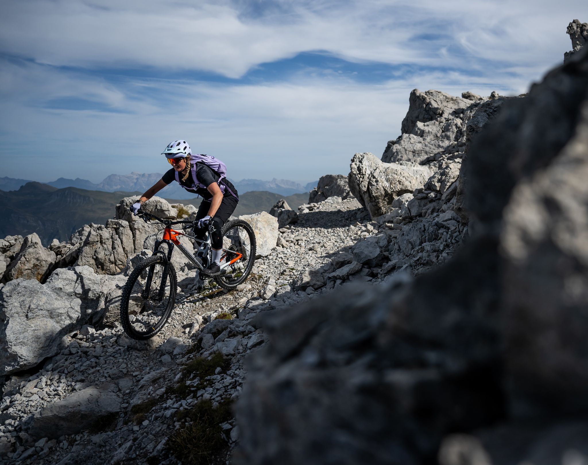
Endless trail fun in the Lenzerheide region
Other adventures around Vaz/Obervaz


Tips from the Community

Reached the top, enjoy the view and then consider where to go next
0
0

Cable car with bike transport in 2 sections to the Weisshorn summit
0
0

Prepare for a long, exhausting but amazing 2000 descent!
0
0

Top view into the distance and of Arosa
0
0

The easiest way to reach the Hörnligrat by bike, and with the least amount of effort, is by taking the Hörnli Express gondola from Innerarosa. From here, you can then head back down to the valley in virtually any direction. The flowing Hörnli Trail back to Arosa is particularly popular. The other trails (which are not designated trails, so be careful of hikes) are also very worthwhile, although some are a bit more challenging (e.g., to Lake Urden, S3).
2
0

There are two ways to reach the Parpaner Rothorn: either by taking the cable car or by embarking on a challenging and strenuous hike. If you choose the latter option, you'll need sturdy footwear. Surefootedness and a head for heights are also beneficial on the ascent, ensuring you reach the summit safely. Next to the cable car station, there's also a panoramic restaurant where you can recharge with fine dining after a strenuous hike.
2
2
Frequently Asked Questions
What are some notable mountain peaks to visit in Vaz/Obervaz?
The region offers diverse peaks. For extensive views, consider the Weisshorn Summit (2,653 m). If you appreciate a panoramic restaurant at the top, the Parpaner Rothorn Summit provides great views of Lenzerheide. For a historical experience, the Dreibündenstein Monument marks a significant former triple border point.
Are there family-friendly mountain walks around Vaz/Obervaz?
Yes, the area around Lenzerheide offers trails suitable for families, often featuring viewpoints and natural attractions like lakes. While specific family-friendly peaks are not listed, the general area provides accessible options for various ages.
What kind of historical sites can be found on the peaks in Vaz/Obervaz?
The Dreibündenstein Monument is a prominent historical site. Located at 2,156 meters, it commemorates the former triple border point of the Free State of the Three Leagues, with the replacement stone from 1915 bearing the coats of arms of these leagues.
What outdoor activities can I do near the mountain peaks of Vaz/Obervaz?
Beyond peak bagging, you can explore various outdoor activities. For cycling enthusiasts, there are routes like the 'Tiefencastel – Landwasser Viaduct loop' or 'Lenzerheide – Heidsee loop'. Mountain biking is also popular, with trails such as the 'Bike Ticket to Ride: Red' and 'Bike Ticket to Ride: Black'. You can find more details on these activities in the Cycling around Vaz/Obervaz and MTB Trails around Vaz/Obervaz guides.
Are there hiking trails near these mountain peaks for different skill levels?
Yes, the region offers a range of hiking trails. For example, the 'Dreibündenstein Monument – Furggabüel loop' is a moderate option, while the 'Parpaner Rothorn – Gredigs Fürggli loop' is more difficult. You can find more hiking options in the Mountain Hikes around Vaz/Obervaz guide.
What do visitors enjoy most about the mountain peaks around Vaz/Obervaz?
Visitors frequently highlight the fantastic and extensive views from the summits, especially from Weisshorn Summit (2,653 m) and Parpaner Rothorn Summit. The presence of panoramic restaurants at some peaks, like Parpaner Rothorn, also adds to the enjoyment, allowing for relaxation and local specialties after a hike.
Can I reach any of the mountain peaks by cable car?
Yes, both the Weisshorn Summit (2,653 m) and the Parpaner Rothorn Summit can be reached by cable car, offering a more relaxed ascent for those who prefer not to hike the entire way. The Hörnli Trail Summit is also easily accessible via the Hörnli Express gondola from Innerarosa.
Are there mountain restaurants or cafes near the trails in Vaz/Obervaz?
Yes, the Parpaner Rothorn Summit features a panoramic restaurant right at the top, serving Grisons specialties and homemade cakes. The Hörnli Trail Summit also has a mountain restaurant, making it a good stop for refreshments.
What natural features, besides peaks, can I expect to see in the Vaz/Obervaz region?
The region is characterized by its mountainous terrain, offering numerous viewpoints. You can also find natural monuments and lakes, such as those around Lenzerheide, which enhance the scenic beauty of the area.
What is the best time to hike the mountains around Vaz/Obervaz?
While specific seasonal recommendations are not provided, the region's alpine environment suggests that late spring to early autumn typically offers the most favorable conditions for hiking. During these months, trails are generally clear of snow, and the weather is more stable. Always check local weather forecasts before heading out.
Are there any circular walks available around the Vaz/Obervaz mountains?
Yes, there are circular routes available. For instance, the 'Dreibündenstein Monument – Furggabüel loop from Malix' is a moderate circular hike. You can find more options in the Mountain Hikes around Vaz/Obervaz guide.
Most popular routes around Vaz/Obervaz
Most popular attractions around Vaz/Obervaz

Get inspired with the komoot mobile app


Explore more
See even more amazing summits around Vaz/Obervaz with these guides:
