Top 6 Natural Monuments around Saint-Bonnet-De-Salendrinque
Best natural monuments around Saint-Bonnet-De-Salendrinque are found within a natural setting in the Cévennes foothills. The area is characterized by its lush, verdant environment, including the Salendrinque river. This region offers access to natural features such as viewpoints, forests, and river landscapes. The village itself is integrated with the surrounding natural beauty, providing opportunities for outdoor exploration.
Best natural monuments around Saint-Bonnet-De-Salendrinque
- The most popular natural monuments is Signal de Saint-Pierre Orientation Table, a viewpoint that allows contemplation of…
Last updated: July 4, 2026
Abarines Bridge
Highlight • Bridge
Translated by Google •
Tip by

Signal de Saint-Pierre Orientation Table
Highlight • Viewpoint
Translated by Google •
Tip by

Sign up now to discover places like this
Get recommendations on the best single tracks, peaks, & plenty of other exciting outdoor places.
Sign up for free
Remembrance Grove
Highlight • Natural Monument
Translated by Google •
Tip by
View from Rocher Saint-Julien over Anduze
Highlight • Viewpoint
Translated by Google •
Tip by

Rocky Trail in Cévennes National Park
Highlight (Segment) • Trail
Translated by Google •
Tip by

Sign up for free to discover even more natural monuments around Saint-Bonnet-De-Salendrinque.
Sign up for free
Already have an account?
Start today with a free account
Your next adventure awaits.
Login or Signup
Popular around Saint-Bonnet-De-Salendrinque

Tips from the Community

Great climb! Beautiful view
0
0
Quite a bit of fitness required, steep climb at the start.
0
0

Superb views, but be careful, the ridge path is virtually unmarked and unmaintained: do so at your own risk.
0
0
Great view over Anduze and the area, but very steep climb
0
0

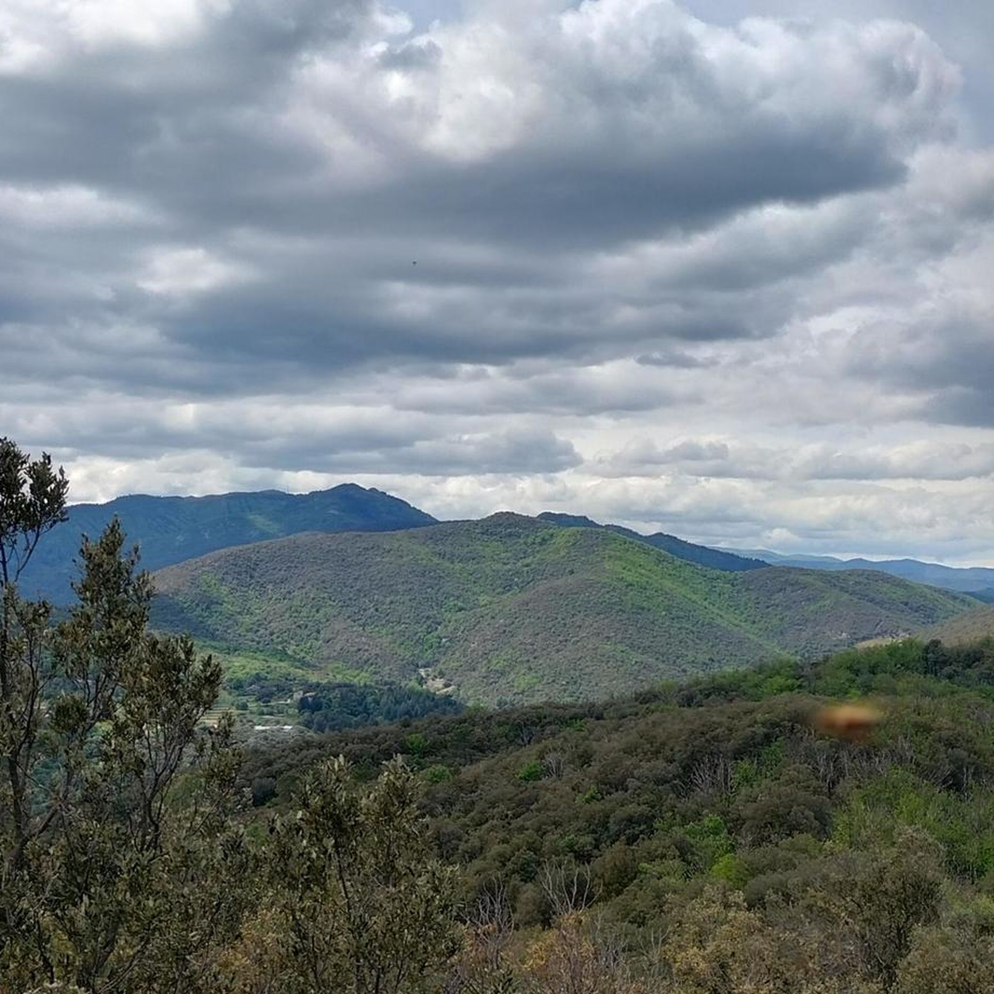
The Rocher Saint-Julien, overlooking the Gardon d'Anduze, offers a magnificent view over Anduze towards the south and towards the north over the valleys of the Gardon de Saint-Jean and the Gardon de Mialet, which meet at Corbès.
0
0
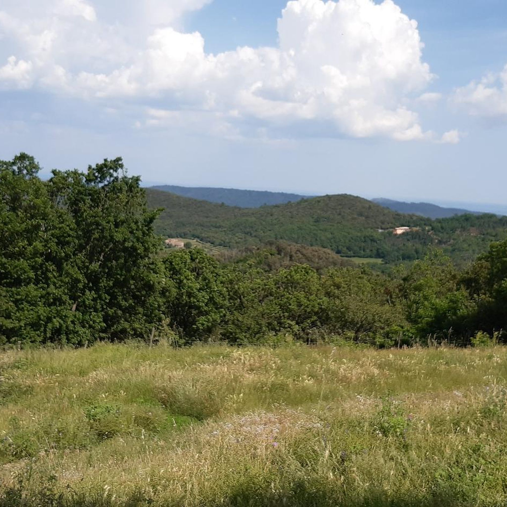
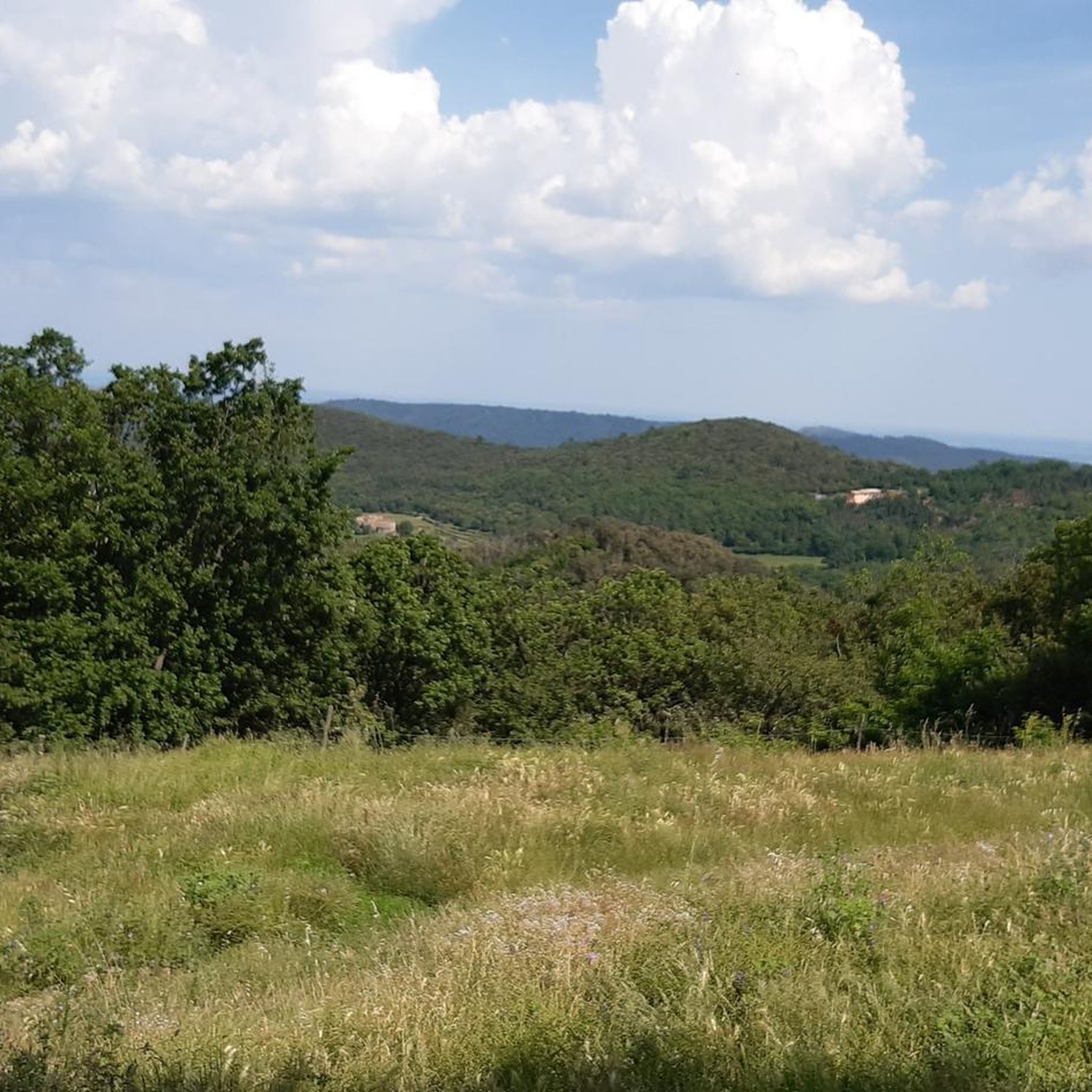
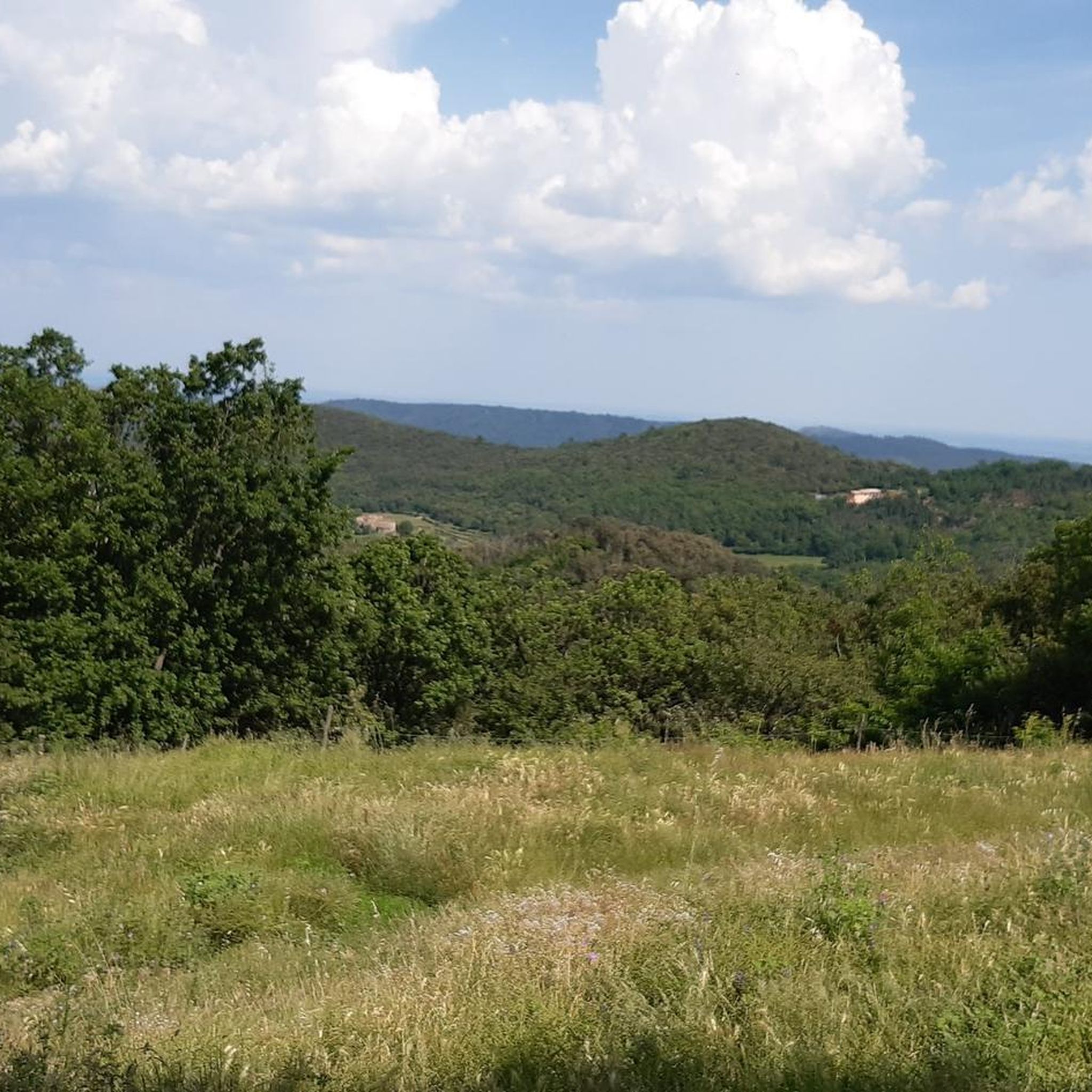
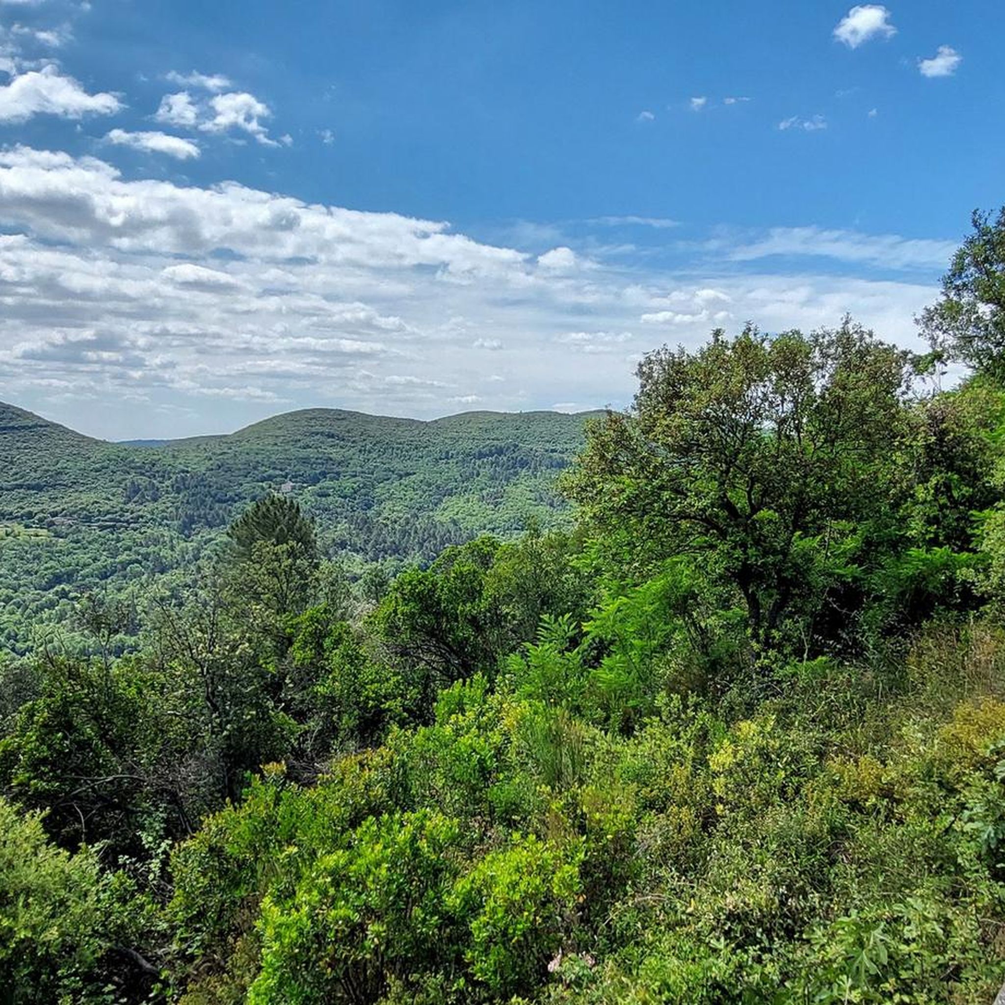
The Signal Saint-Pierre, a few hundred meters from the Col Saint-Pierre, allows you to contemplate the Cévennes at an altitude of 695m.
0
0
Here, a teacher from Lasalle who had lost many members of his family (including his son) during the 14-18 war had a hundred cedars planted in their homage.
0
0
The Signal Saint-Pierre, a few hundred meters from the Col Saint-Pierre, allows you to contemplate the Cévennes at an altitude of 695 meters.
0
0
Frequently Asked Questions
What kind of natural features can I expect to see around Saint-Bonnet-De-Salendrinque?
The area around Saint-Bonnet-De-Salendrinque is characterized by a lush, verdant environment, often described as a "cirque de verdure" or "Val d'Émeraude." You'll find rich green vegetation, including meadows, chestnut trees, and oaks, alongside the prominent Salendrinque River. The landscape offers a mix of river valleys, forests, and elevated viewpoints within the Cévennes foothills.
Are there any viewpoints offering panoramic views of the Cévennes?
Yes, there are several. The Signal de Saint-Pierre Orientation Table allows you to contemplate the Cévennes at an altitude of 695 meters. Another notable spot is the View from Rocher Saint-Julien over Anduze, which provides a magnificent perspective over Anduze and the valleys of the Gardon de Saint-Jean and Gardon de Mialet.
Can I find historical natural monuments in the area?
Yes, the Remembrance Grove is a natural monument with significant historical context. Here, a hundred cedars were planted in homage to those lost during the 14-18 war, making it a place for reflection amidst nature.
Are there family-friendly natural monuments suitable for all ages?
The Abarines Bridge is considered family-friendly. It offers splendid views of the Gardon de Mialet, and you can descend to the river for a refreshing break, with visitors noting nice bathing spots in small pools.
What are the options for hiking or walking near these natural monuments?
The region is ideal for hiking. You can explore trails that offer views of the Salendrinque river, or venture into the broader Cévennes landscape. For specific routes, you can find various running trails, such as the 'Sentier Forestier loop from Saint-Bonnet-de-Salendrinque' or the 'Saint-Bonnet-de-Salendrinque loop from Saint-Bonnet-de-Salendrinque', by visiting the Running Trails around Saint-Bonnet-De-Salendrinque guide.
Are there any challenging trails for experienced hikers?
Yes, some trails offer a more challenging experience. The ascent to the View from Rocher Saint-Julien over Anduze requires sure-footedness and good footwear due to its steep climb. Additionally, the Rocky Trail in Cévennes National Park is described as challenging, with big stones, steep climbs, and even rock climbing sections.
What is the best time of year to visit the natural monuments?
The region's "cirque de verdure" and "Val d'Émeraude" suggest that spring and summer are excellent times to visit, when the vegetation is at its most lush and vibrant. The mild climate of the Cévennes foothills generally makes outdoor activities enjoyable during these seasons.
Are there opportunities for cycling or mountain biking?
Absolutely. The area provides numerous routes for both cycling and mountain biking. You can explore options like 'The foothills of the Cévennes' for cycling or 'Bridge over the Salindrenque – Old railroad loop from Lasalle' for mountain biking. Detailed routes can be found in the Cycling around Saint-Bonnet-De-Salendrinque guide and the MTB Trails around Saint-Bonnet-De-Salendrinque guide.
Can I find places for wild swimming or river access?
Yes, the Salendrinque River is a prominent natural element, and the Abarines Bridge area is known for its nice bathing spots in small pools, offering a refreshing break on hot days.
What do visitors particularly enjoy about the natural monuments here?
Visitors appreciate the stunning views, especially from elevated points like the Signal de Saint-Pierre Orientation Table and the View from Rocher Saint-Julien over Anduze. The opportunity to descend to the river for a break and enjoy bathing spots near the Abarines Bridge is also highly rated. The overall lush, green environment and the sense of tranquility are key attractions.
Are there any caves or subterranean geological formations nearby?
While not directly in Saint-Bonnet-De-Salendrinque, the Caves of Trabuc are a notable natural attraction located near Mialet, approximately 10.9 km away. These caves offer an opportunity to explore impressive subterranean geological formations.
Is the area suitable for dog-friendly walks?
The natural environment around Saint-Bonnet-De-Salendrinque, with its numerous trails and open spaces, generally lends itself well to dog walking. However, specific rules or leash requirements may apply in certain protected areas or on private land, so it's always advisable to check local signage.
What kind of wildlife might I encounter?
The Cévennes region is known for its diverse ecosystems. While specific sightings can vary, the lush forests and river environments around Saint-Bonnet-De-Salendrinque are home to various bird species, small mammals, and insects typical of a Mediterranean mountain climate. Keep an eye out for local flora and fauna during your explorations.
Most popular routes around Saint-Bonnet-De-Salendrinque
Most popular attractions around Saint-Bonnet-De-Salendrinque

Get inspired with the komoot mobile app


Explore more
Extend your search for the best caves by checking out these guides of the top ones around Saint-Bonnet-De-Salendrinque:
