The 6 Most Amazing Peaks around Aristau
Best mountain peaks around Aristau are found within a region characterized by rolling terrain, moraine landscapes, and river valleys in the Canton of Aargau, Switzerland. While Aristau itself features picturesque landscapes and hiking opportunities, prominent named mountain peaks are not within the municipality. The area offers numerous elevated points that provide scenic views of the surrounding idyllic landscapes. Hiking trails in and around Aristau range from easy walks to moderate tours, showcasing the natural beauty and cultural landmarks of the…
Last updated: August 17, 2026
Highest point of the Lindenberg (878 m)
Highlight • Summit
Translated by Google •
Tip by

Seerose Hotel & Restaurant
Highlight • Restaurant
Translated by Google •
Tip by

Sign up now to discover places like this
Get recommendations on the best single tracks, peaks, & plenty of other exciting outdoor places.
Sign up for free
Stiefeliryter Inn and Open-Air Museum, Hämikerberg
Highlight • Restaurant
Translated by Google •
Tip by

Highest point of Dottikon Dreihägen (549 m above sea level)
Highlight (Segment) • Summit
Translated by Google •
Tip by

Hasenberg Ridge Trail Summit and Observation Tower
Highlight (Segment) • Summit
Translated by Google •
Tip by

Sign up for free to discover even more peaks around Aristau.
Sign up for free
Already have an account?
Start today with a free account
Your next adventure awaits.
Login or Signup
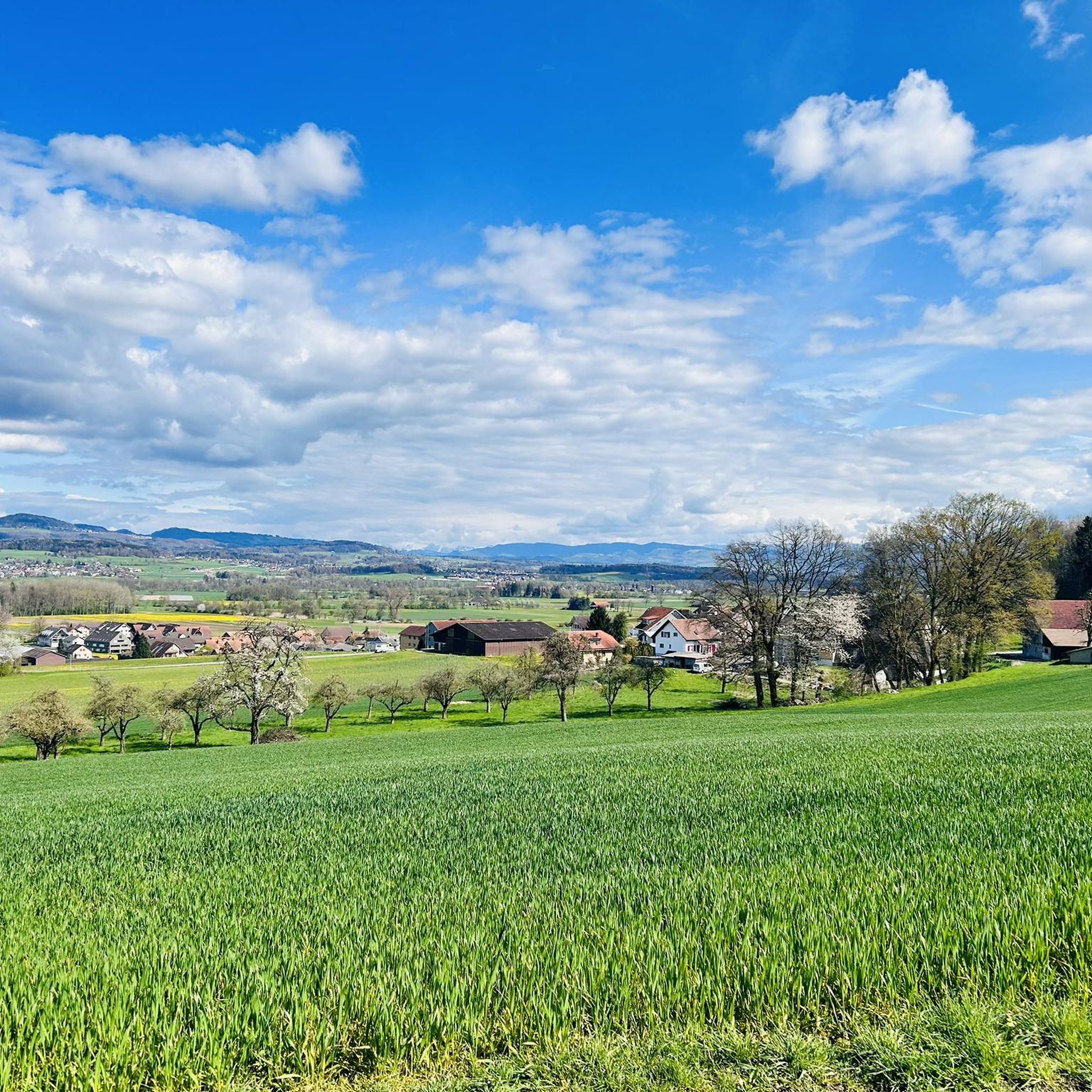
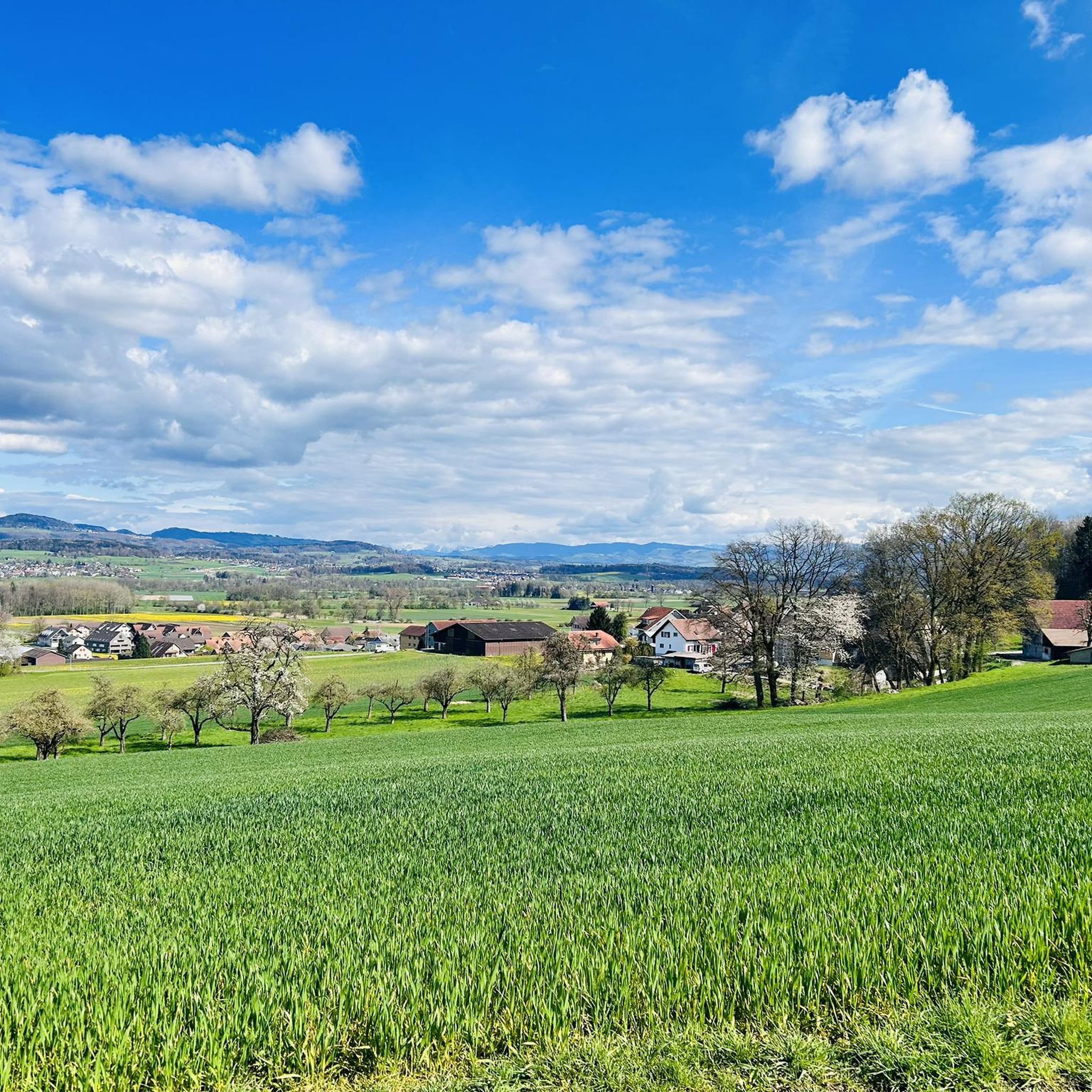
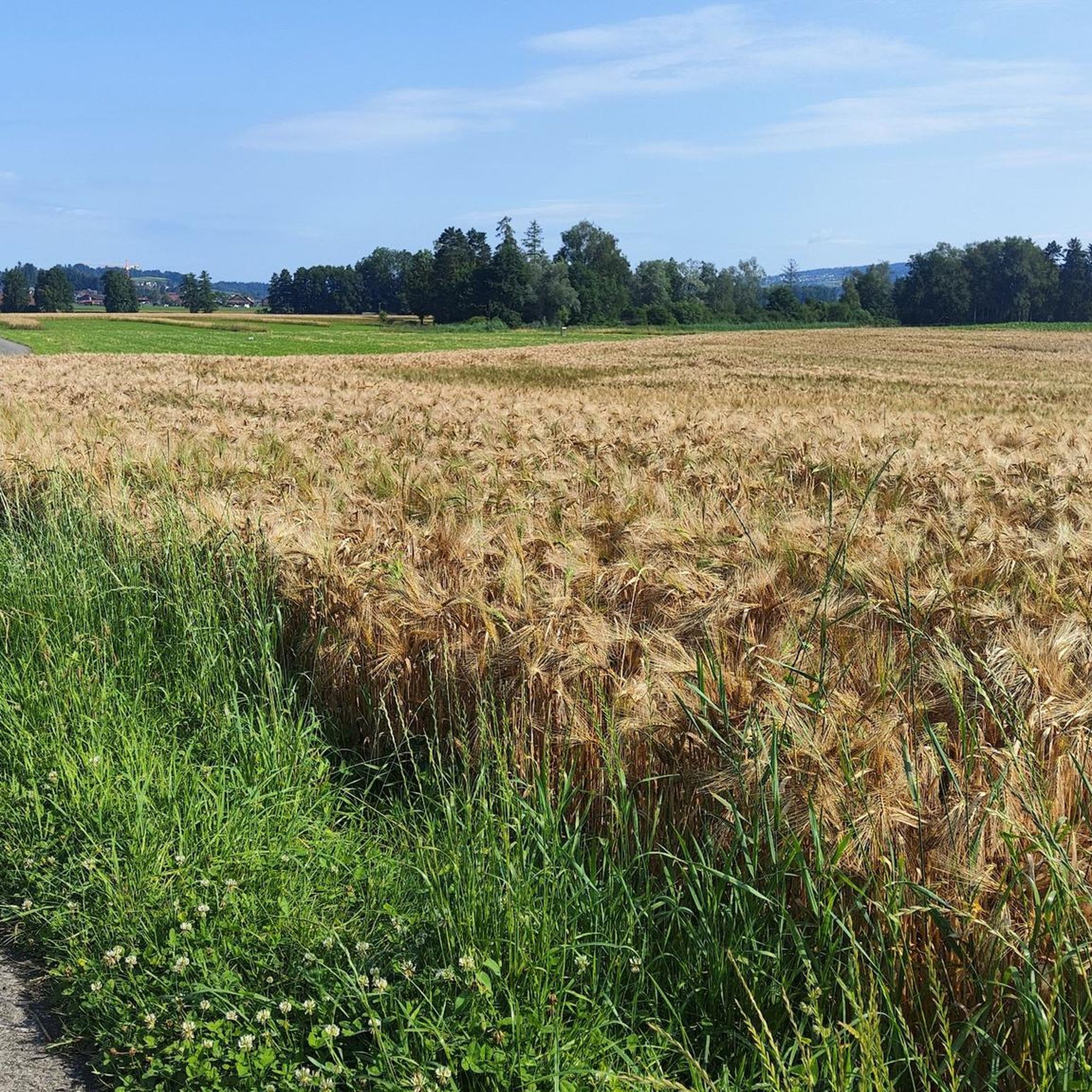
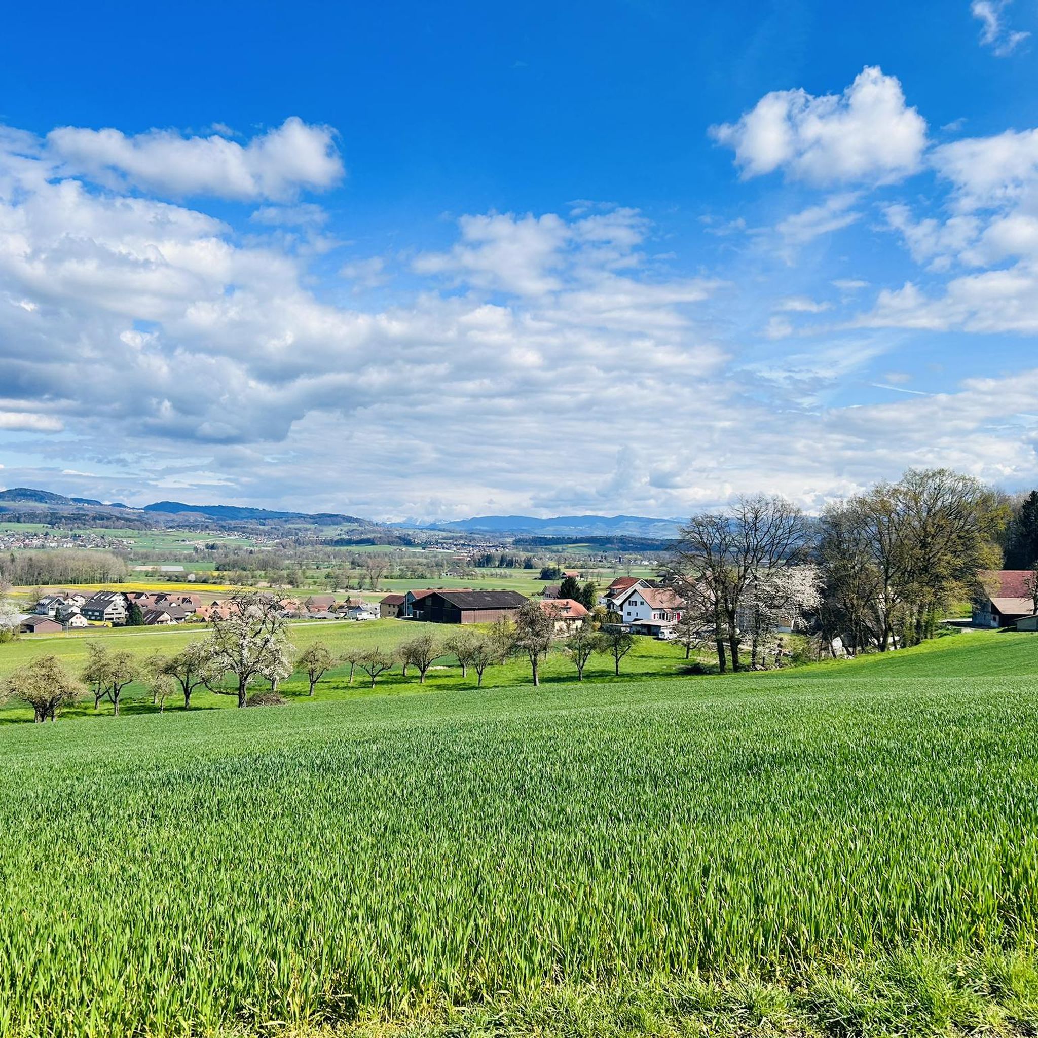

Tips from the Community

Inconspicuous and without view, easily accessible on simple forest paths
1
0

Lindeberg Trail, the easy access, it was worth the effort.
1
0
Dreihägen has, figuratively speaking, changed a lot, more transparent and brighter, many trees have been cut down
0
0
Top of Lindenberg is a must for an AG biker to climb at least once a year
2
0

The ideal starting and ending point for circumnavigating the lake. Large parking lot available, including a swimming pool if you feel like it.
1
0

Alpine views and little traffic on side roads
1
0
Always nice to visit Top of Lindenberg
1
1

This trail is beautiful, but has a driving ban. That's why I only drive it on weekdays when the weather is bad. Then there are practically no pedestrians.
0
0
Frequently Asked Questions
What are the most popular elevated points around Aristau?
While Aristau is known for its rolling terrain rather than prominent mountain peaks, several elevated points offer scenic views. Among the most popular are Highest Point of Lindenberg (681 m), known for easy bike and bicycle tours, and Highest point of Dottikon Dreihägen (549 m above sea level), which features a trail with strong roots and lush vegetation. The Felsenegg cable car also provides an easy way to access elevated views.
Are there family-friendly elevated points or activities near Aristau?
Yes, several options are suitable for families. The Highest Point of Lindenberg (681 m) is considered family-friendly and offers easy bike tours. The Felsenegg cable car is also a family-friendly facility providing quick access to views. Additionally, the region offers easy walks and circular routes, such as around an idyllic lake, which are perfect for all ages.
What kind of natural features can I expect to see around Aristau's elevated points?
The region around Aristau is characterized by picturesque landscapes, moraine formations, and river valleys. You'll find extensive forests, especially around the Highest Point of Lindenberg (681 m) and Highest point of Dottikon Dreihägen (549 m above sea level). Many trails lead to elevated areas offering breathtaking panoramic views over the valley and the surrounding idyllic landscapes. The Lindenberg area is also known for its many springs and lush vegetation.
Are there historical or cultural sites near the elevated points in Aristau?
While the focus is on natural elevated points, the broader region offers cultural interest. The Stiefeliryter Inn and Open-Air Museum, Hämikerberg is a notable historical site nearby. Additionally, the neighboring district of Muri features the Muri Monastery and the Erdmannlistein, a significant rock formation often included in hikes showcasing the typical Freiämter moraine landscape.
What outdoor activities can I do near the elevated points around Aristau?
The area around Aristau is excellent for various outdoor activities. You can enjoy extensive hiking, mountain biking, road cycling, and running. For mountain biking, explore routes like the 'Highest Point of Lindenberg (681 m) – Never Ending Trail Lindenberg loop' or 'Hasenberg Tower – Flachsee Nature Reserve loop'. Road cyclists can try the 'Flachsee – Bremgarten Old Town loop'. Runners have options like 'View of the Reuss – Rottenschwil Bridge loop'. You can find more details on these activities in the MTB Trails around Aristau, Road Cycling Routes around Aristau, and Running Trails around Aristau guides.
Are there specific trails for mountain biking near Aristau's elevated points?
Yes, the region is popular for mountain biking. The Highest Point of Lindenberg (681 m) is particularly known for easy bike and bicycle tours. For more challenging rides, the trail at Highest point of Dottikon Dreihägen (549 m above sea level) is described as having strong roots and rough, lush vegetation, offering good technical sections for experienced riders. You can find detailed routes in the MTB Trails around Aristau guide.
What is the best time of year to hike the elevated points around Aristau?
The region's trails are generally accessible and suitable for different fitness levels, making them enjoyable for much of the year. Spring and autumn offer pleasant temperatures and vibrant scenery. While the Lindenberg area can be wet for a long time after rainy days due to its many springs, this can also add to the natural experience. Always check local weather conditions before heading out.
Are there any viewpoints offering particularly stunning vistas in the Aristau region?
Yes, many local trails in Aristau lead to elevated areas specifically noted for offering "breathtaking views over the valley." The Highest Point of Lindenberg (681 m) is a prominent viewpoint. The Felsenegg cable car also provides excellent panoramic views as it ascends and descends.
What do visitors enjoy most about the elevated points and trails around Aristau?
Visitors appreciate the diverse natural experiences, from tranquil walks around idyllic lakes to more moderate tours through varied landscapes and biotopes. The easy accessibility of many trails and the scenic beauty, including panoramic views, are frequently highlighted. The Highest Point of Lindenberg (681 m) is consistently mentioned as a highlight for its easy climb and bike tours.
Are there any circular walks available around Aristau's elevated areas?
Yes, the region offers several circular routes. A popular option is a tranquil circular walk around an idyllic lake. Additionally, the extensive Freiämterweg, spanning over 190 kilometers, includes diverse terrain and provides opportunities for circular sections that showcase the region's elevated areas and natural beauty.
Are there places to eat or relax near the trails around Aristau?
Yes, you can find options for dining and relaxation. The Seerose Hotel & Restaurant offers a beautiful garden directly on the lake, perfect for unwinding. Another option is the Stiefeliryter Inn and Open-Air Museum, Hämikerberg, which combines dining with a historical and cultural experience.
What is the difficulty level of hiking trails around Aristau's elevated points?
Hiking trails in and around Aristau range from easy walks to more moderate tours. Many elevated points, like the Highest Point of Lindenberg (681 m), are described as very easy to climb. However, trails like the one at Highest point of Dottikon Dreihägen (549 m above sea level) are rated as intermediate due to their rooted and rough sections, offering good technical challenges. The region caters to various fitness levels, emphasizing scenic beauty over extreme difficulty.
Most popular routes around Aristau
Most popular attractions around Aristau

Get inspired with the komoot mobile app


Explore more
See even more amazing summits around Aristau with these guides:
