Top 19 Natural Monuments around Muracciole
Best natural monuments around Muracciole are situated within the Parc Naturel Régional de Corse, a protected natural environment in Corsica. This region features a landscape of significant natural beauty, including forests, river valleys, and mountain vistas. Muracciole itself is a small forest village, providing access to various natural features. The area offers opportunities for hiking and exploring diverse natural environments.
Best natural monuments around Muracciole
- The most popular natural monuments is Lac de Bastani, a lake that is one…
Last updated: July 5, 2026
Lac de Bastani
Highlight • Lake
Translated by Google •
Tip by

Natural Pools at the Y-Tree
Highlight • Natural Monument
Translated by Google •
Tip by

Sign up now to discover places like this
Get recommendations on the best single tracks, peaks, & plenty of other exciting outdoor places.
Sign up for free
Monte Rotondo Summit
Highlight • Summit
For GR20 hikers hiking north-south, there is an indescribable look back at the last stages, including the …
Translated by Google •
Tip by

Strette Gorge
Highlight (Segment) • Gorge
Translated by Google •
Tip by

Manganello River Cascade
Highlight • River
Translated by Google •
Tip by

Sign up for free to discover even more natural monuments around Muracciole.
Sign up for free
Already have an account?
Start today with a free account
Your next adventure awaits.
Login or Signup

Tips from the Community

very pretty here, very pretty
0
0

The Vecchio rises on the Monte d'Oro and is initially called Agnone. This river is best known for its Cascades des Anglais, which attract hundreds of tourists every day in high season. From the hamlet of Vizzavona onwards, the river is called Vecchio and you only meet very few people. Shortly after entering Canaglia, it joins the Manganello. Here the Vecchio valley becomes very lonely. On the right-hand side, far above the riverbed, the railway line winds its way along the hills, barely visible. You don't notice the busy T20, which lies behind the hills. You only see it when you get off at the Ponte Vecchio. High above us, it crosses the Vecchio valley on the new bridge. Later, the Vecchio flows into the Tavignano, which reaches the sea near Aléria.
1
0

We went to the great Gumben today. We walked straight down the path from the Y-tree. But we didn't jump or even slide😱.
1
4

route inderbroken door hecken en table prive
0
0


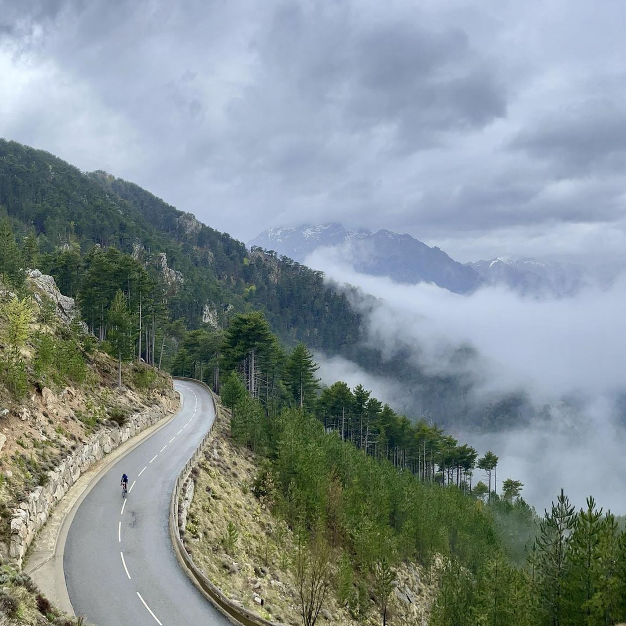
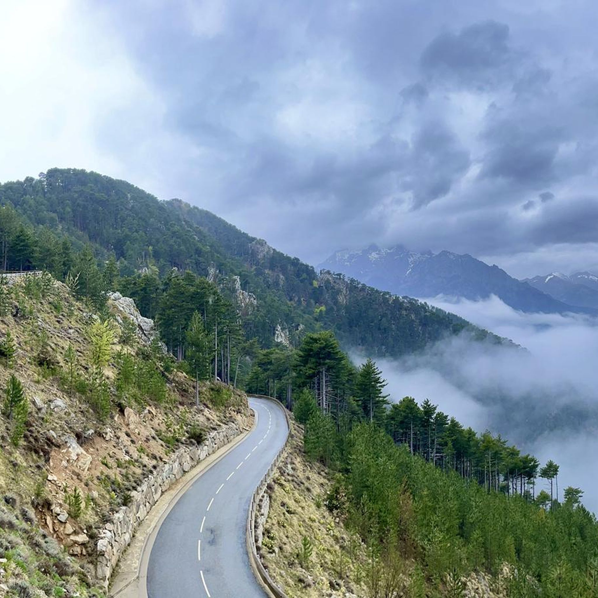
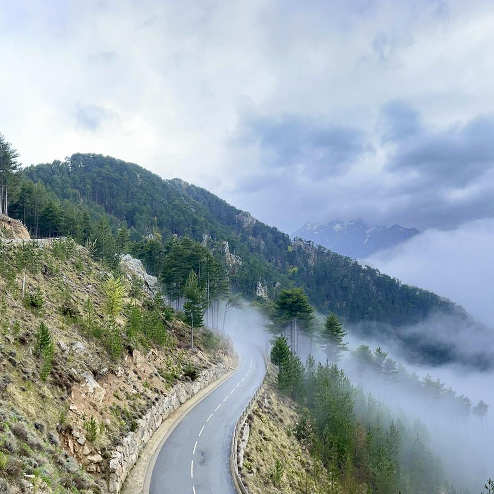
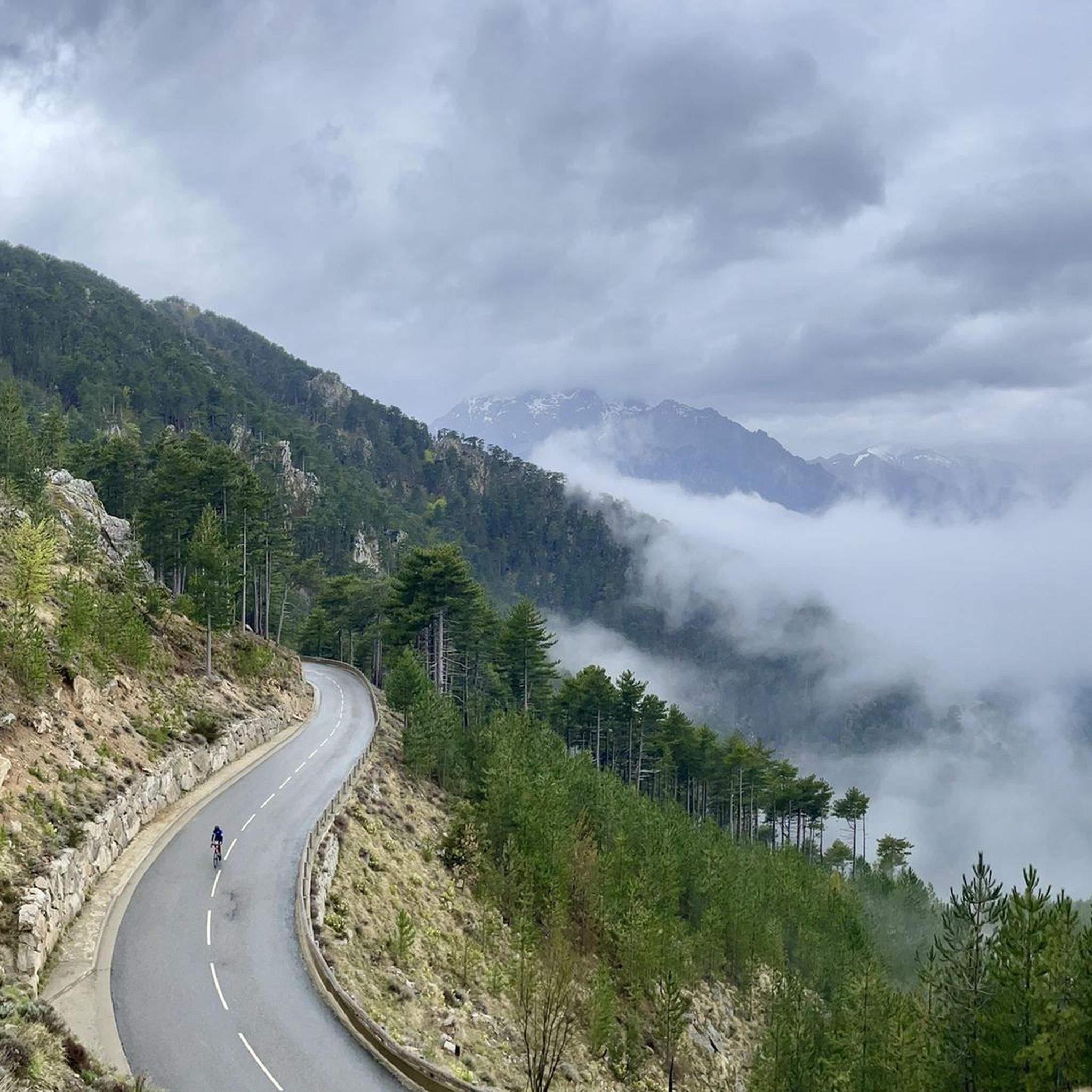
The Strette and Inzecca gorges further east come from the Fiurmorbo river. These canyon-shaped gorges stretch for more than 13 kilometers and offer extraordinary landscapes that can be admired while traveling the narrow and winding D344 from Ghisoni.
0
0

We did the climb from the Restonica valley in early July. Heavy rainfall in May caused exceptionally large snowfields below the couloir. Orientation and finding a way was therefore more difficult than under normal circumstances. In particular, the descent on what is actually the same path required a good sense of direction, very confusing, also due to randomly placed cairns that ended in dead ends below the couloir (sometimes on the mighty, too steep granite slabs, which abruptly bordered snowfields and forced to turn back... with then new attempts). In total we have 15km, 3200m difference in altitude (ascent, descent), 6.5 hours in motion and 11.5 hours total time (2 x 45min breaks, remaining time for photos, path search) needed. Tip: be sure to inquire about the snow situation beforehand. possibly Bring a toddle, a snow plate for sticks and a rope. Luckily the snow was very soft, so we didn't need all that. Sticks are mandatory!
0
2

Lake Bastani is one of the highest lakes in Corsica above (2000m). It is a beautiful feature to study from the top of Mount Renoso and to visit and enjoy while hiking to or from that same peak.
2
0
Frequently Asked Questions
What are some unique natural monuments to explore around Muracciole?
Beyond the well-known spots, Muracciole offers unique natural features. You can visit the Lac de Bastani, one of Corsica's highest lakes, known for its emerald waters. Another distinctive site is the Former Railway Tunnel of Muracciole, now a Natura 2000 site and a crucial habitat for various bat species. For stunning views, the Monte Rotondo Summit provides a panoramic vista.
What kind of natural landscapes can I expect to see near Muracciole?
Muracciole is nestled within the Parc Naturel Régional de Corse, offering a diverse range of natural landscapes. You'll find extensive forests like the Forêt de Rospa-Sorba, characterized by Corsican pines, as well as dramatic river valleys, gorges such as the Strette Gorge, and high-altitude lakes and summits.
Are there hiking trails near the natural monuments around Muracciole?
Yes, the region around Muracciole is excellent for hiking. The long-distance Mare a Mare Nord Hiking Trail passes through the communal territory, offering connections to the famous GR20. You can also explore various trails within the Forêt de Rospa-Sorba. For more detailed routes, check out the hiking guide for Muracciole.
Are there any opportunities for swimming or cooling off in natural waters?
Absolutely! The Natural Pools at the Y-Tree are a popular spot for swimming, featuring various pools and even an adventurous water slide. It's important to always check the water depth before jumping. The Strette Gorge also offers places to take a refreshing bath and cool down.
What are some challenging hikes to natural monuments in the area?
For experienced hikers seeking a challenge, the ascent to the Monte Rotondo Summit (2622 meters) offers a fantastic panoramic view and is considered a challenging climb. The route to the Natural Pools at the Y-Tree is also rated as challenging due to the terrain.
What do visitors enjoy the most about the natural monuments here?
Visitors frequently praise the stunning natural beauty and the sense of tranquility. Highlights like Lac de Bastani are described as 'a little gem' with 'emerald waters.' The panoramic views from summits like Monte Rotondo are also highly appreciated, with many noting the 'indescribable look back at the last stages' for GR20 hikers.
Are there any natural viewpoints offering expansive vistas?
Yes, several natural viewpoints provide breathtaking scenery. The Monte Rotondo Summit offers a wonderful panoramic view. Additionally, the Belvédère de Pasciola, located just 1.7 km from Muracciole, is a natural vantage point known for its expansive views, especially at night.
Can I find other outdoor activities like cycling or running near these natural monuments?
Yes, in addition to hiking, the area around Muracciole provides opportunities for cycling and running. You can find various routes for touring bicycles, including challenging loops through gorges and passes. There are also dedicated running trails. For more details, explore the cycling guide and running guide for Muracciole.
What is the best season to visit the natural monuments around Muracciole?
The best time to visit largely depends on your planned activities. Spring and autumn generally offer pleasant temperatures for hiking and exploring the forests and trails. Summer is ideal for enjoying the natural pools and higher-altitude lakes, though some areas can be busy. Winter can bring snow to higher elevations, making some summits and passes more challenging or inaccessible.
Are there any natural monuments that are particularly significant for wildlife?
Yes, the Former Railway Tunnel of Muracciole is a prime example. Although artificial in origin, it has been reclaimed by nature and is now a significant Natura 2000 site. It serves as a crucial breeding ground and habitat for various bat species, including the Bent-wing bat and Capaccini's myotis, making it a unique ecological site.
How can I access the Strette Gorge?
The Strette Gorge, formed by the Fiurmorbo river, can be admired from the D344 road. This narrow and winding road offers extraordinary landscapes as it stretches for more than 13 kilometers through the canyon-shaped gorge.
What is the Manganello River Cascade known for?
The Manganello River Cascade is part of the Vecchio river system, which is best known for the Cascades des Anglais further upstream. While the Cascades des Anglais attract many tourists, the Manganello section of the Vecchio valley is notably more secluded and offers a tranquil experience amidst nature.
Most popular attractions around Muracciole

Get inspired with the komoot mobile app


Explore more
Extend your search for the best caves by checking out these guides of the top ones around Muracciole:
