Top 5 Natural Monuments around Trassanel
Natural monuments around Trassanel showcase a region with a Mediterranean climate, shaped by the Clamoux River and Ruisseau de la Ceize. This area features a diverse natural heritage, including significant geological formations and protected ecological sites. The landscape offers a blend of elevated viewpoints, extensive cave systems, and unique flora. Trassanel's natural features provide opportunities for exploring varied terrain and observing local biodiversity.
Best natural monuments around Trassanel
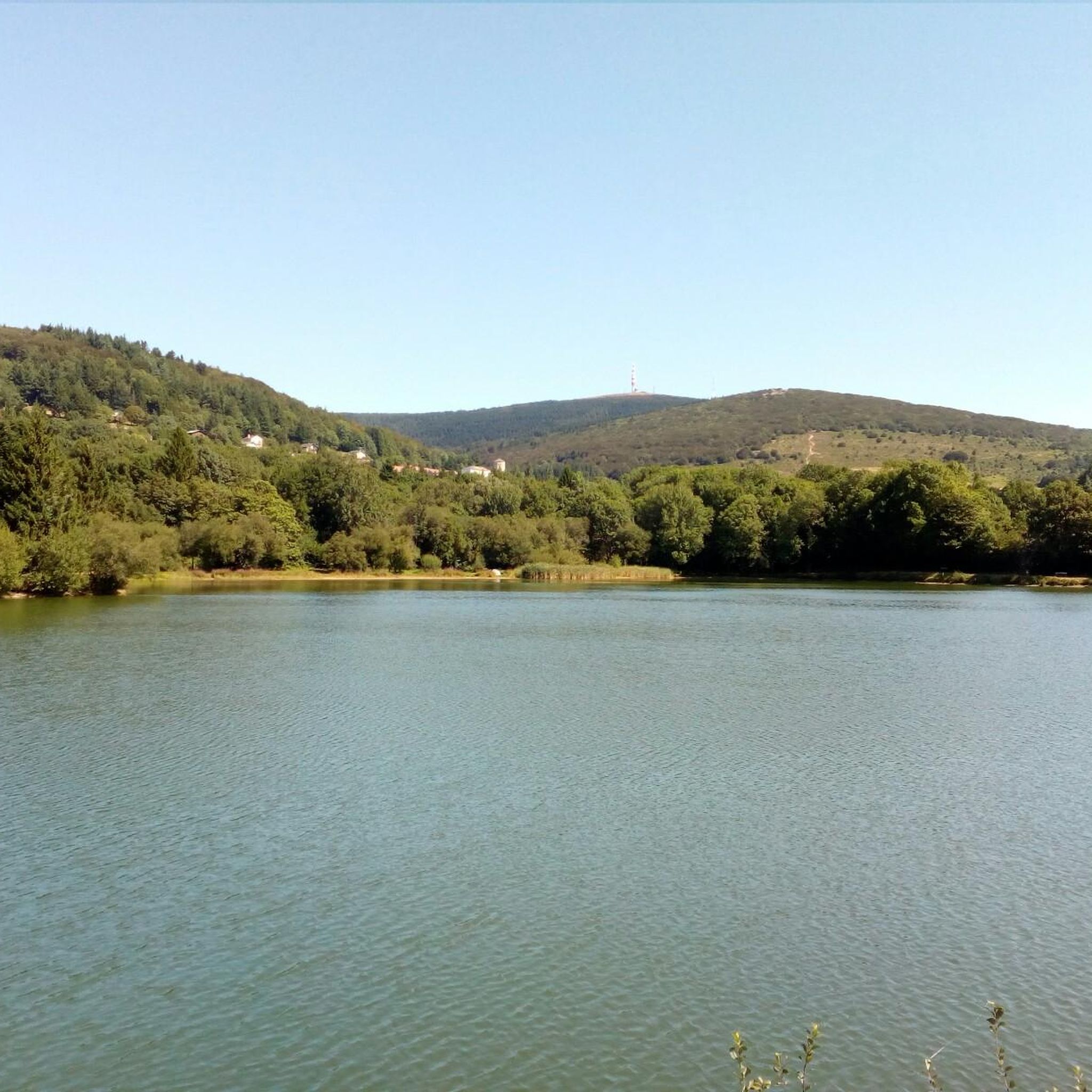
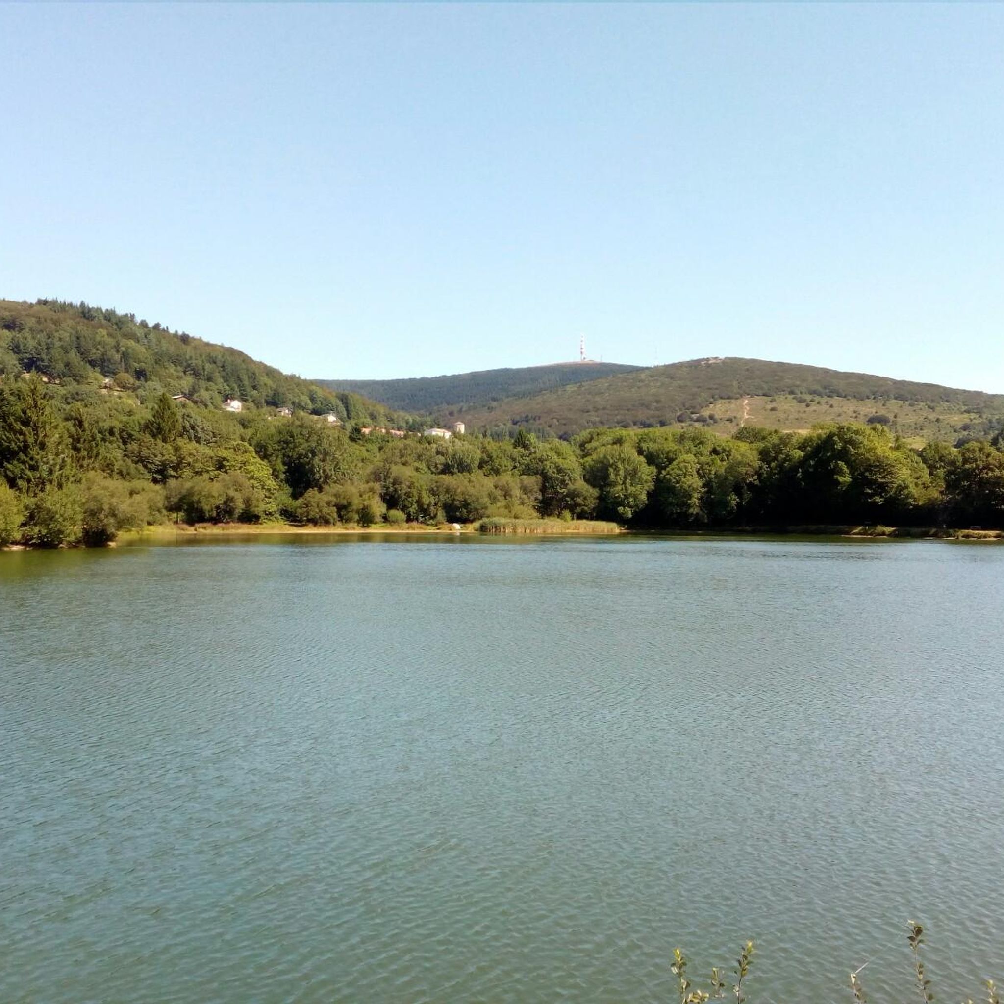
- The most popular natural monuments is Pic de Nore, a summit that offers a 360° panorama of the Montagne Noire and the southwestern limits of the Haut-Languedoc regional natural park. Despite its altitude of 1,211 meters, it can experience harsh weather conditions.
- Another must-see spot is Cubserviès Waterfall, a waterfall that is the highest in the Aude department, with a total height of 90 meters. A belvedere in the hamlet of Cubserviès provides views of its 45-meter drop.
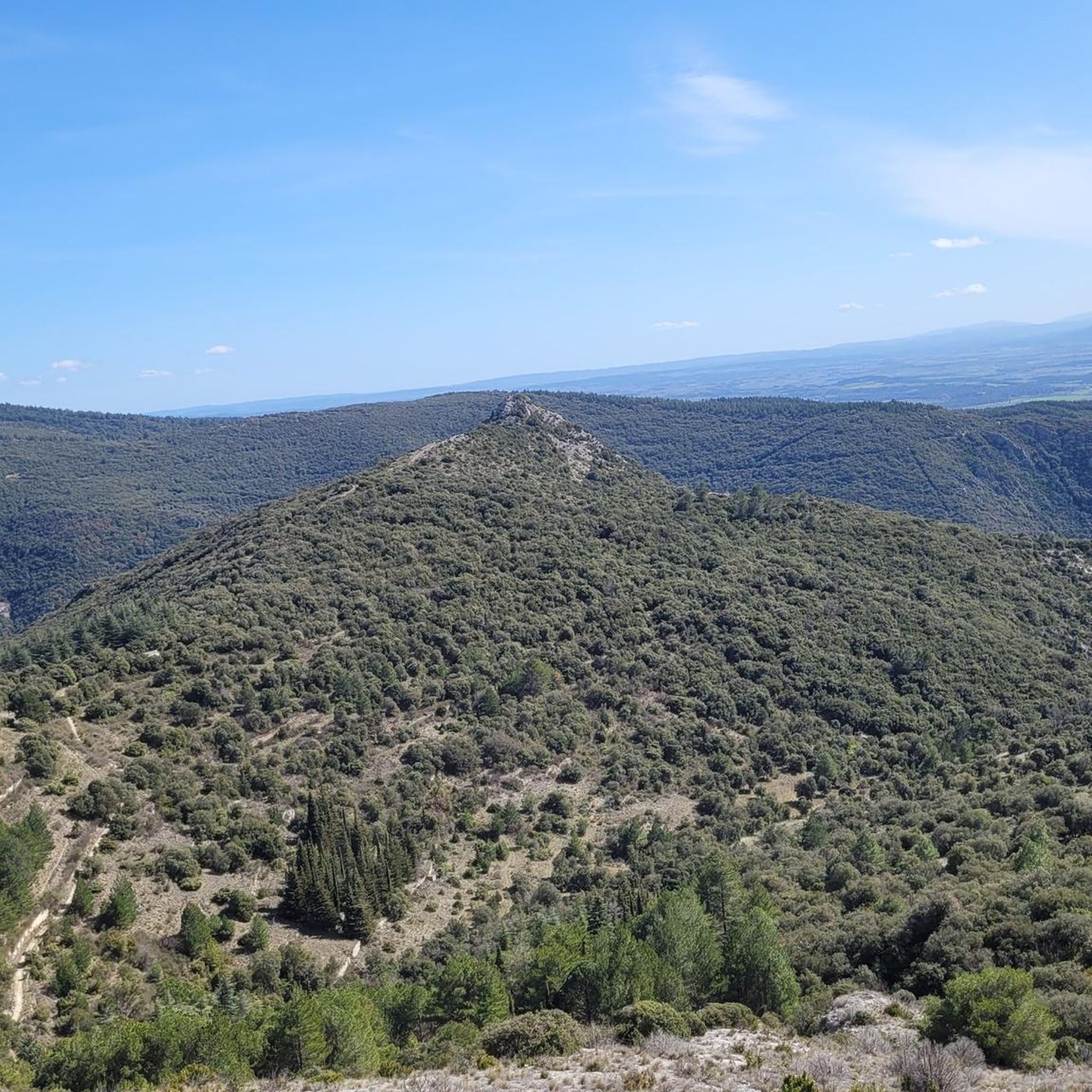
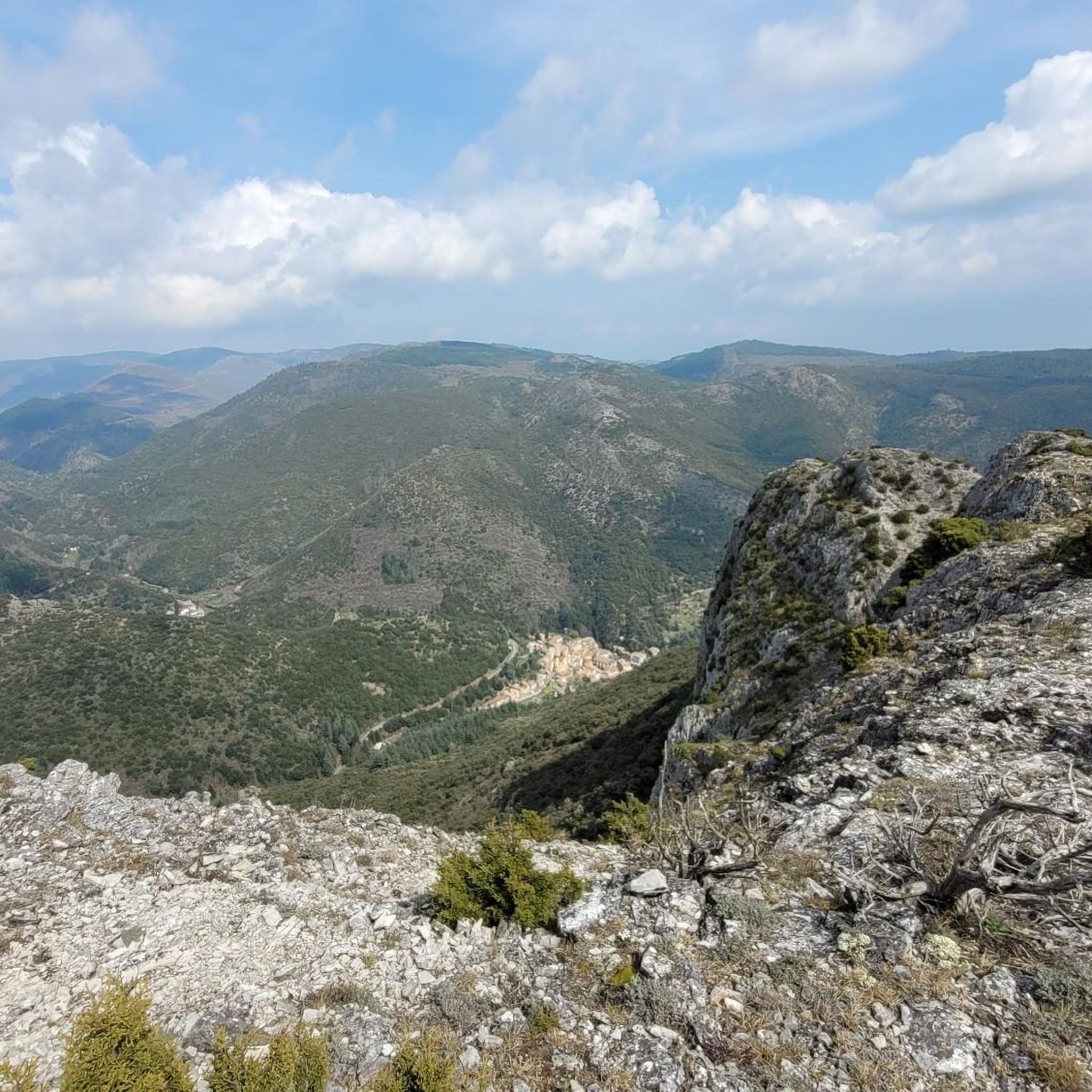
- Visitors also love Roc de l'Aigle, a viewpoint offering panoramic views over the Montagne Noire to the Pyrenees. The ridge leading to it is notable for its scenic qualities.
- Trassanel is known for its summits, waterfalls, and viewpoints. The area also features extensive cave systems and protected xerophilic flora, including ancient Phoenician junipers.
- The natural monuments around Trassanel are appreciated by the komoot community, with more than 140 upvotes and over 100 photos shared by visitors.
Last updated: July 5, 2026
Pic de Nore
Highlight • Summit
Translated by Google •
Tip by

Cubserviès Waterfall
Highlight • Waterfall
On this site of around ten hectares, a path is proposed around the Rieutort stream, its dry stone terraces and various built elements.
The most beautiful view of the waterfall is obtained from the hamlet of Cubserviès. A belvedere has been set up to admire the waterfall and its 45-meter drop.
The origins of the Cubserviès waterfall
We find in this area of the Montagne Noire a very hard rock, gneiss, and another much softer: schist. Over the millennia, the Rieutort has dug its nest in the schist valley, but the hard rock has withstood erosion well. As a result, at the point of contact of these two rocks, one still present and the other greatly reduced by erosion, a large drop forms which gives rise to the waterfall. Downstream from the waterfall, the Rieutort continues its course towards the south-east and flows into the Orbiel, a left bank tributary of the Aude.
The steep slopes in the immediate vicinity of the waterfall are covered with thickets of chestnut trees. The old farmland located higher up is covered with young forests of pines, larches, spruces and douglas. In summer, this forest cover provides shade and coolness appreciated by hikers.
source: (espacesnaturelssensibles.aude.fr/la-cascade-de-cubservies)
Translated by Google •
Tip by

Sign up now to discover places like this
Get recommendations on the best single tracks, peaks, & plenty of other exciting outdoor places.
Sign up for free
Roc de l'Aigle
Highlight • Viewpoint
Translated by Google •
Tip by

Drinking Water Source on the Triby Forest Track
Highlight • Natural Monument
Translated by Google •
Tip by

Start today with a free account
Your next adventure awaits.
Login or Signup

Tips from the Community

Save your energy for the last 5km, be careful when it's windy.
0
0

At 90 meters high, it is the highest waterfall in the Aude department. For a bird's eye view of the fall, you have to go to the hamlet of Cubserviès. There is no access to the foot of the waterfall.
0
0


A safe source that allows you to refill your cans even in summer. Picnic area and barbecue nearby
0
0

Very nice walk, varied nature, beautiful view, very pretty heather ☺️ Partially shaded.
1
1

Despite its low altitude (only 1,211 meters), the Pic de Nore, located in the Aude department and the highest point of the Montagne Noire, can experience extremely harsh weather conditions. You can't miss its imposing red and white television antenna.
0
0

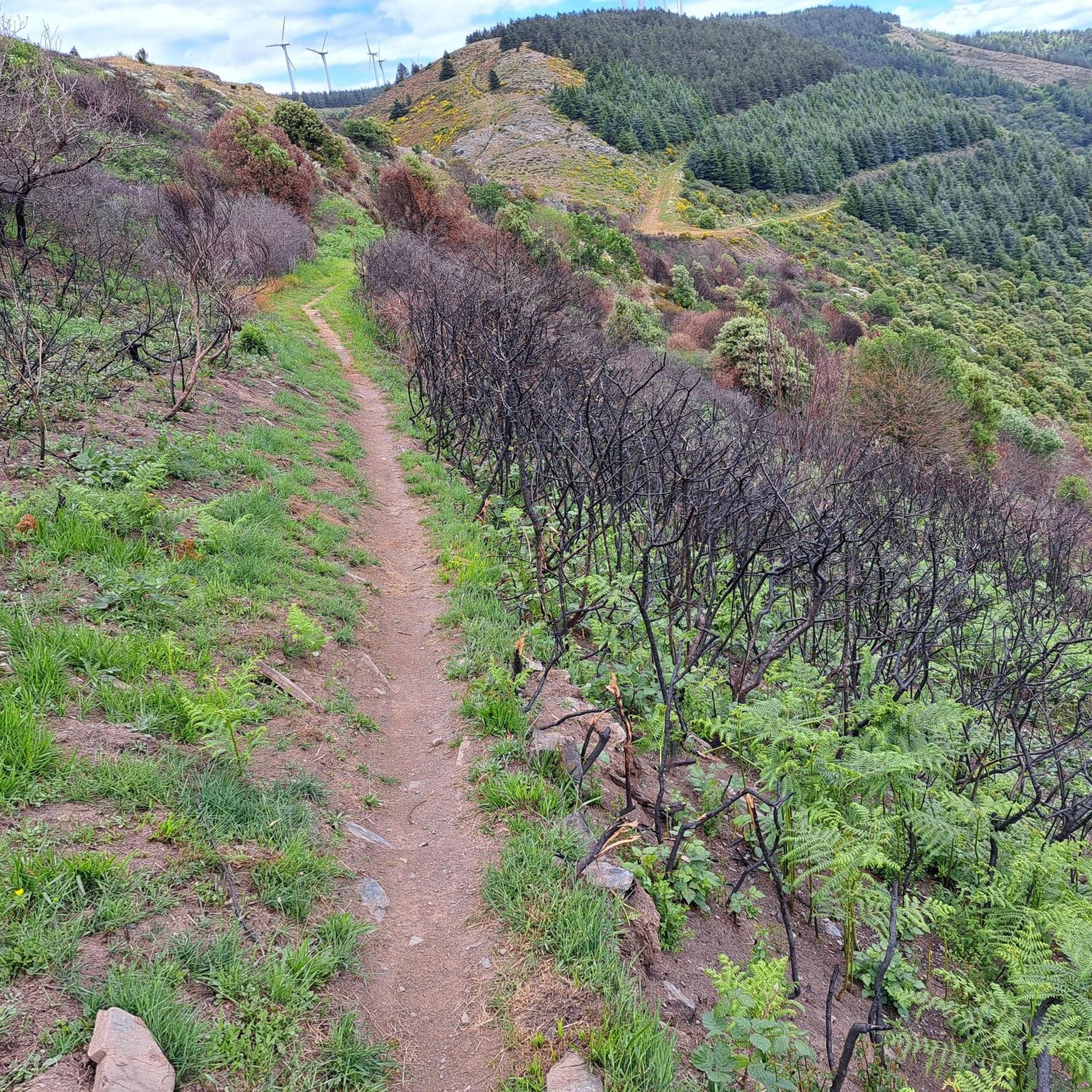
The Roc de l'Aigle offers a magnificent panorama over the Montagne Noire to the Pyrenees, and the ridge to reach it is quite spectacular.
1
0

The Pic de Nore is a small flat peak that culminates at 1,211 meters. It offers a superb 360° panorama of the Montagne Noire and the south-western limits of the Haut-Languedoc regional natural park.
2
0
Frequently Asked Questions
What unique natural features can I explore around Trassanel?
Trassanel boasts a diverse natural heritage. You can explore the extensive Grotte de Trassanel, also known as Grotte du Maquis, which features over 6,500 meters of passages and remarkable concretions. The region also hosts the ecologically significant Gorges de la Clamoux, a Natura 2000 site, and unique xerophilic flora, including ancient Phoenician junipers, particularly in the Roc de l'Aigle sector.
Where can I find panoramic views of the Trassanel area?
For breathtaking panoramic views, consider visiting Roc de l'Aigle, which offers magnificent vistas over the Montagne Noire stretching to the Pyrenees. Another excellent spot is Pic de Nore, the highest point of the Montagne Noire, providing a superb 360° panorama.
Are there any significant historical sites among Trassanel's natural monuments?
Yes, the Grotte de Trassanel holds significant historical importance. Beyond its geological and paleontological value (with discoveries like a cave bear skull), it served as a refuge for the French Resistance (Maquisards) during World War II. A commemorative plaque at its entrance honors those who fought for liberty.
What kind of flora and fauna can I expect to see in Trassanel's natural areas?
The region is rich in biodiversity, especially within the Natura 2000 sites like the Gorges de la Clamoux. The northern part of Trassanel, particularly around Roc de l'Aigle, is known for its rare and protected xerophilic flora, which thrives in rocky environments. A notable example is the Phoenician juniper, with some specimens estimated to be over 1150 years old.
What outdoor activities can I do near Trassanel's natural monuments?
The area around Trassanel offers various outdoor activities. You can find numerous routes for gravel biking, running, and cycling. For example, there are challenging gravel biking routes like the "Pic de Nore – Pic de Nore Summit loop" and running trails such as the "Cabrespine Giant Chasm – Roc de l'Aigle loop." You can explore more options in the Gravel biking around Trassanel, Running Trails around Trassanel, and Cycling around Trassanel guides.
Are there family-friendly natural monuments or facilities in Trassanel?
While many natural monuments involve hiking, the Drinking Water Source on the Triby Forest Track is a family-friendly spot. It offers a safe water source, a picnic area, and barbecue facilities, making it ideal for a relaxed outdoor break.
What is the best time of year to visit Trassanel's natural monuments?
Trassanel experiences a Mediterranean climate. Spring and autumn generally offer the most pleasant weather for exploring, with milder temperatures ideal for hiking and outdoor activities. Summers can be hot, but the forest cover around areas like Cubserviès Waterfall provides shade and coolness. Be aware that Pic de Nore, despite its altitude, can experience harsh weather conditions at any time.
How difficult are the trails around Trassanel's natural monuments?
The difficulty of trails varies. Some routes, especially those leading to summits like Pic de Nore or involving extensive cave exploration like the Grotte de Trassanel (which requires specific protocols), can be challenging. However, there are also hiking circuits around Roc de l'Aigle and Roc d'Agnel that blend preserved nature with informative panels, suitable for various skill levels. Always check specific route details before heading out.
What makes the Cubserviès Waterfall a must-see attraction?
The Cubserviès Waterfall is notable as the highest waterfall in the Aude department, with a total height of 90 meters. A dedicated belvedere in the hamlet of Cubserviès provides the most beautiful view of its impressive 45-meter main drop. Its formation is a fascinating geological story, where the Rieutort stream has eroded softer schist rock while harder gneiss has resisted, creating the dramatic fall.
Are there any less crowded natural attractions in the Trassanel area?
While popular spots like Roc de l'Aigle offer stunning views, exploring the hiking circuits that include Roc d'Agnel can provide a more serene experience. Additionally, seeking out trails that focus on the protected xerophilic flora in the northern part of Trassanel, away from the main viewpoints, might offer a quieter connection with nature.
Can I explore caves in Trassanel, and what should I know?
Yes, the Grotte de Trassanel is a significant cave system. It's extensive, with over 6,500 meters developed across four levels and a depth of -177 meters. It's remarkable for its varied concretions and paleontological finds. Access to this unique speleological site is possible via a specific protocol, indicating it's not a casual tourist cave and likely requires specialized guidance or permits.
Are there specific hiking trails recommended for exploring the natural monuments?
Hiking circuits that include Roc de l'Aigle and Roc d'Agnel are highly recommended. These trails offer a harmonious blend of preserved nature and history, often featuring informative panels about the local geology and biosphere. The Gorges de la Clamoux also provides opportunities for exploring its ecologically important landscapes.
Most popular routes around Trassanel
Most popular attractions around Trassanel

Get inspired with the komoot mobile app


Explore more
Extend your search for the best caves by checking out these guides of the top ones around Trassanel:
