Top 4 Natural Monuments around Saint-Victor-Malescours
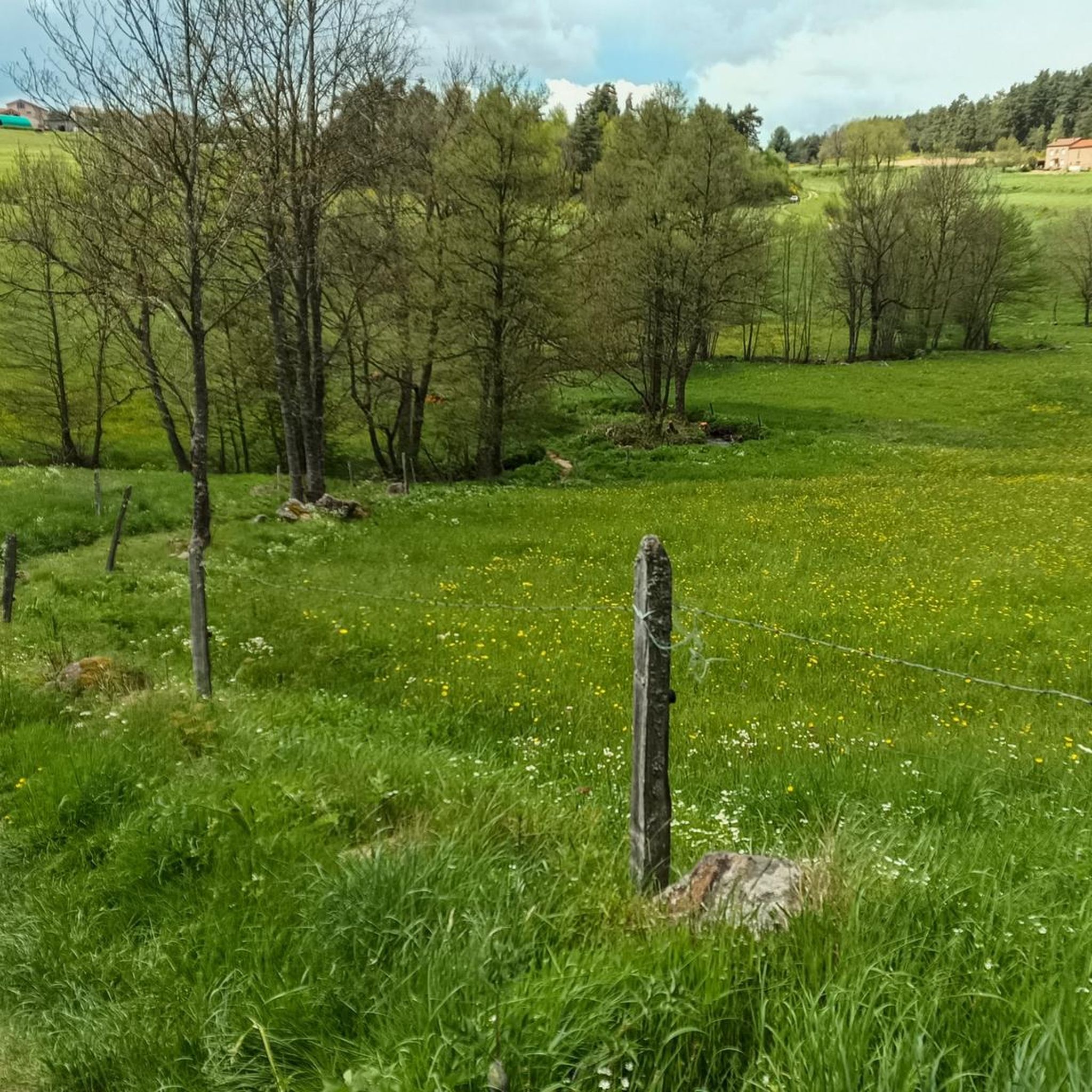
Best natural monuments around Saint-Victor-Malescours are found within a preserved natural environment characterized by hills, extensive woods, and the Semène river. The commune, nestled in the Haute-Loire region of France, offers diverse natural features. These include ecologically significant wetlands and areas providing panoramic views. The landscape provides opportunities for outdoor activities such as walking and mountain biking.
Best natural monuments around Saint-Victor-Malescours
- The most popular natural monuments is Crêt de Chaussître, a summit that offers a beautiful panorama of…
Last updated: July 19, 2026
Crêt de Chaussître
Highlight • Summit
Translated by Google •
Tip by

Col du Tracol
Highlight • Mountain Pass
Translated by Google •
Tip by

Sign up now to discover places like this
Get recommendations on the best single tracks, peaks, & plenty of other exciting outdoor places.
Sign up for free
Le Gnaorou
Highlight • Natural Monument
Translated by Google •
Tip by
The Gimel Peat Bogs
Highlight • Natural Monument
Translated by Google •
Tip by
Waterfall in Parc Naturel Régional du Pilat
Highlight (Segment) • Waterfall
Translated by Google •
Tip by

Start today with a free account
Your next adventure awaits.
Login or Signup

Tips from the Community

Be careful on this part, I recommend not going there the day after rain, the rocks are slippery and the place is very humid.
0
0

Interview with the Alps at the level of the megalithic remains.
0
0

This megalithic site is known as Gnaorou. This name does not appear on IGN maps. It is a word from the local dialect, meaning “in the clouds”. The place offers a magnificent panorama of the Alps.
0
0
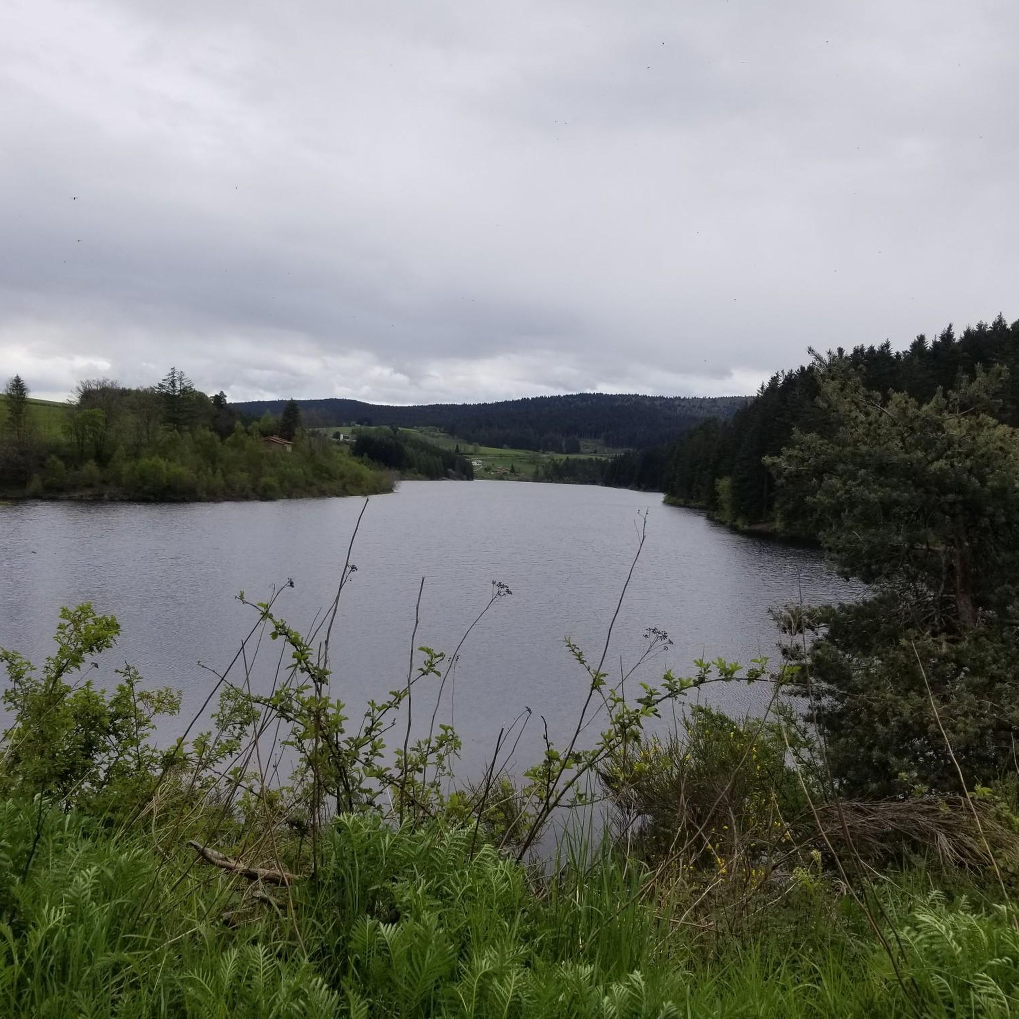
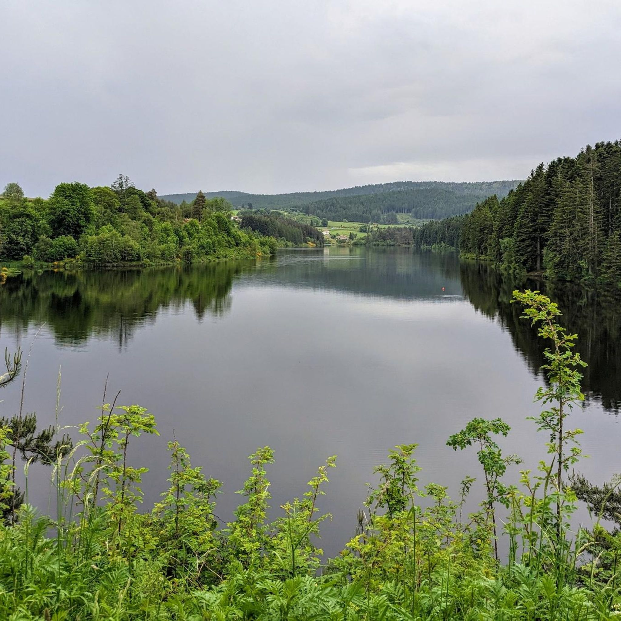
The Gimel peat bog is located at an altitude of 1,200 meters. It is one of the sources of the Dunerette. The marsh forms a bulge and contains a mosaic of plant groups. It has the particularity of having never been exploited for its peat.
0
0
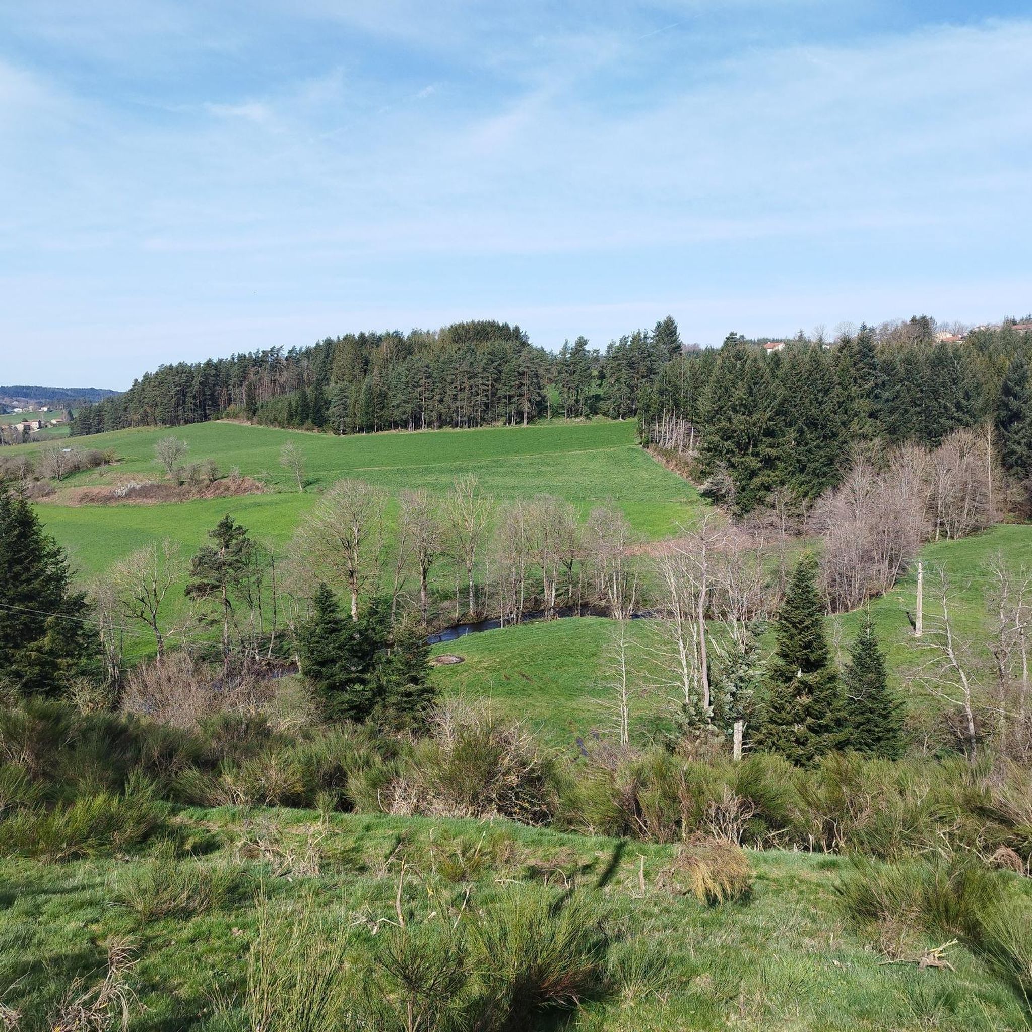
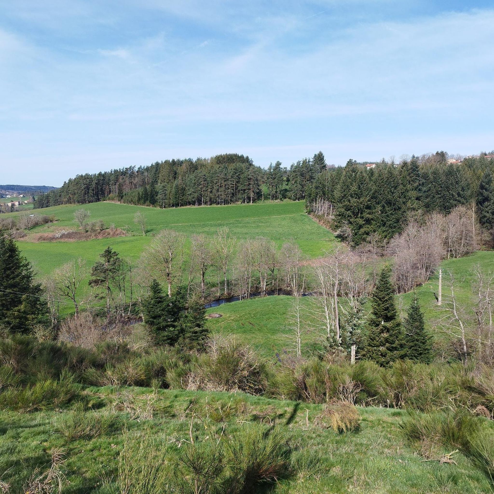
Crêt de Chaussître is located at the southern end of Pilat. It offers a beautiful panorama of the Monts du Velay, Mont Mezenc, the Yssingeaux juices and the high plateaus of Forez.
0
0

Between Loire and Haute Loire, at 1030 m, the Tracol resembles an Alpine pass with its terminal bends. to do on weekends to avoid overtaking by trucks
1
0

By mountain bike, the northern accesses are difficult, large stones, very technical. Access by chemin du Teil easier but steep and partly paved. My favorite access is through the east in the woods from Prélager (before arriving at the picnic area, take the small grassy path on the left which descends slightly)
0
0
Path laid out in wood, accessible to strollers.
1
0
Frequently Asked Questions
What are the most notable natural features in the Saint-Victor-Malescours area?
Beyond specific highlights, the region is characterized by the ecologically significant Semène River, extensive woods and hills offering magnificent panoramas, and diverse wetlands. The Semène River is particularly notable for hosting the pearl mussel, and its valley provides opportunities for various outdoor activities. The Bois de Bramard, an ancient wood, also holds historical and legendary significance.
Are there family-friendly natural monuments to visit around Saint-Victor-Malescours?
Yes, several natural sites are suitable for families. The Gimel Peat Bogs are particularly family-friendly, featuring a path laid out in wood that is even accessible to strollers. Crêt de Chaussître is also considered family-friendly, though some access routes can be challenging.
What kind of wildlife can I observe in the natural areas of Saint-Victor-Malescours?
The wetlands and wooded areas around Saint-Victor-Malescours are rich in biodiversity. You might spot various plant species like marsh marigold and marsh gentian, alongside animals such as frogs, palmate newts, and birds like buzzards, partridges, redstarts, goldfinches, and woodpeckers. Sparrows, fasciate spiders, and bats have also been observed.
What outdoor activities can I do near the natural monuments in Saint-Victor-Malescours?
The region offers a variety of outdoor activities. You can explore numerous hiking and VTT (mountain biking) trails through the extensive woods and hills. For cycling, there are routes like the Riotord – Col du Tracol loop. Gravel biking options include the Château de Duby loop, and MTB trails such as the Le Prège loop are also available. You can find more details on these activities in the Cycling around Saint-Victor-Malescours, Gravel biking around Saint-Victor-Malescours, and MTB Trails around Saint-Victor-Malescours guides.
Are there any historical natural sites in the area?
Yes, the Le Gnaorou site is a megalithic natural monument, known for its historical significance and offering a magnificent panorama of the Alps. Additionally, the Bois de Bramard is mentioned in local lore with legends dating back to Gaulish times, providing a natural setting with historical depth.
Which natural monuments offer the best panoramic views?
For breathtaking views, visit Crêt de Chaussître, which provides a beautiful panorama of the Monts du Velay, Mont Mezenc, the Yssingeaux juices, and the high plateaus of Forez. Le Gnaorou also offers a magnificent panorama, particularly of the Alps.
What is the difficulty level for exploring these natural monuments?
The difficulty varies. Sites like The Gimel Peat Bogs are generally easy and accessible. However, ascents to summits like Crêt de Chaussître can be challenging, especially by mountain bike on northern accesses with large, technical stones. The Col du Tracol is considered a significant athletic challenge, though manageable.
Is Saint-Victor-Malescours suitable for dog owners looking to explore natural sites?
Yes, many natural areas and trails in Saint-Victor-Malescours are dog-friendly. For instance, Crêt de Chaussître is listed as dog-friendly, making it a great option for exploring with your canine companion.
Are there any waterfalls to visit in the natural monuments around Saint-Victor-Malescours?
Yes, you can find a Waterfall in Parc Naturel Régional du Pilat. When visiting, be cautious, especially after rain, as rocks can be slippery and the area very humid.
What is the significance of the Semène River in the region?
The Semène River is a vital natural feature, bordering and traversing the commune for approximately 11 kilometers. It is ecologically important as one of the rare rivers that hosts the pearl mussel. The river's presence has also shaped the landscape, leading to features like the Malzaure bridge and old mills, and contributing to the region's numerous wetlands.
What should I wear for hiking in the natural monuments around Saint-Victor-Malescours?
Given the varied terrain, which includes hills, woods, and potentially humid areas, it's advisable to wear sturdy hiking boots. Layered clothing is recommended to adapt to changing weather conditions, and waterproof gear would be beneficial, especially if visiting areas near waterfalls or after rain.
What makes <a href="https://www.komoot.com/highlight/1456263" target="_blank" rel="noopener">The Gimel Peat Bogs</a> a unique natural monument?
The Gimel Peat Bogs are unique because they originated from a primitive lake that transformed into a bog over many years, colonized by mosses and specific vegetation. Located at an altitude of 1,200 meters, this site has never been exploited for its peat, preserving its natural state and making it one of the most beautiful in the Pilat Regional Natural Park.
Most popular routes around Saint-Victor-Malescours
Most popular attractions around Saint-Victor-Malescours

Get inspired with the komoot mobile app


Explore more
Extend your search for the best caves by checking out these guides of the top ones around Saint-Victor-Malescours:
