The 7 Most Amazing Peaks around Dintikon
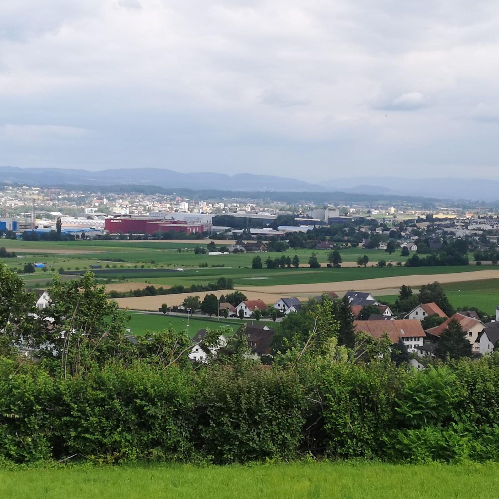
Best mountain peaks around Dintikon are found in the canton of Aargau, Switzerland, a region characterized by its rolling hills rather than alpine peaks. While Dintikon itself has an average elevation of around 489 meters, the surrounding area features several elevated points and natural landmarks that offer views and outdoor activity. These elevated points, though not mountains in the traditional sense, provide scenic opportunities and insights into the region's geography. The area is well-suited for hiking and cycling, with routes…
Last updated: July 1, 2026
Siebenzwingstein Boundary Stone
Highlight • Monument
The border …
Showing Translation
Tip by

Seerose Hotel & Restaurant
Highlight • Restaurant
Translated by Google •
Tip by

Sign up now to discover places like this
Get recommendations on the best single tracks, peaks, & plenty of other exciting outdoor places.
Sign up for free
Chestenberg Trail
Highlight • Trail
Translated by Google •
Tip by

Highest point of Dottikon Dreihägen (549 m above sea level)
Highlight (Segment) • Summit
Translated by Google •
Tip by

Highest point in the Lenzburg district (712 m above sea level)
Highlight (Segment) • Summit
Translated by Google •
Tip by

Sign up for free to discover even more peaks around Dintikon.
Sign up for free
Already have an account?
Start today with a free account
Your next adventure awaits.
Login or Signup
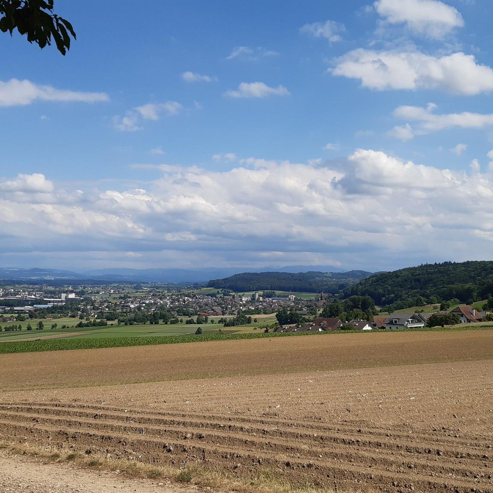
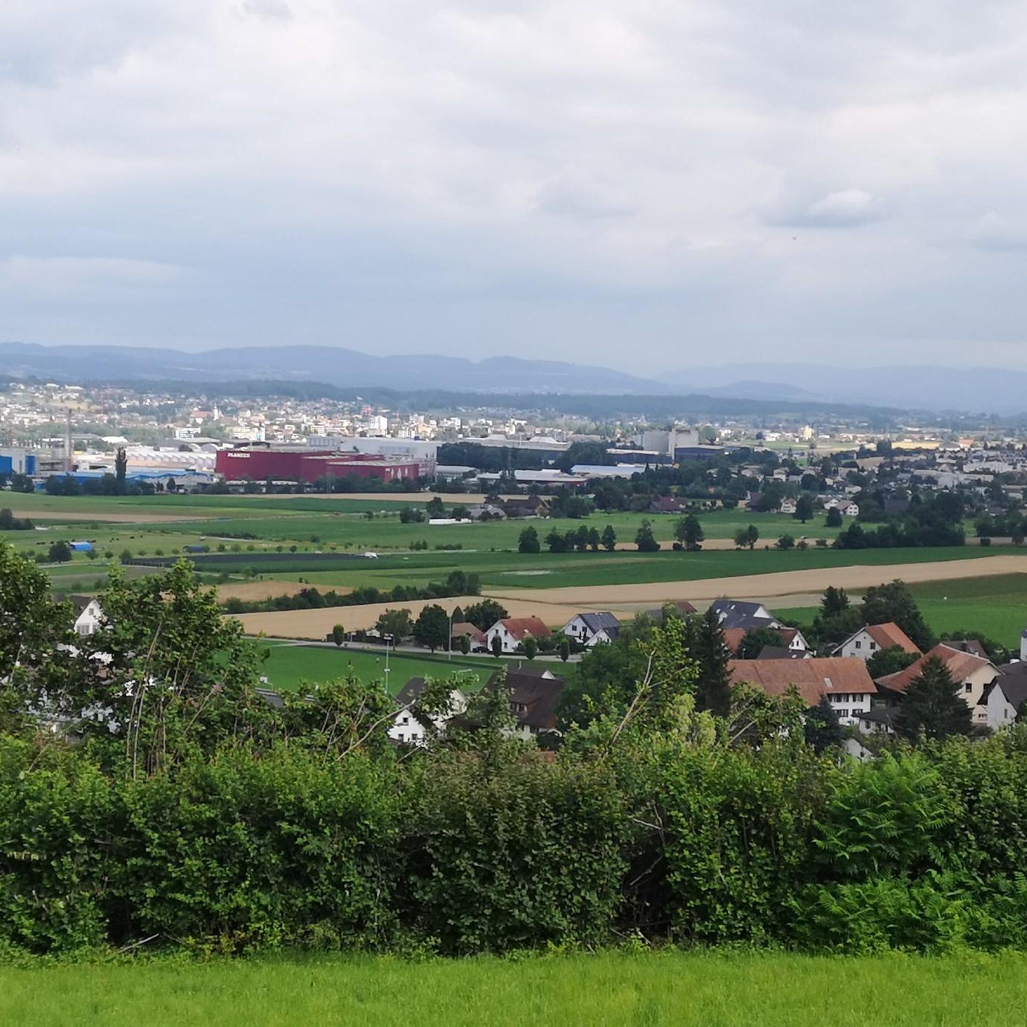
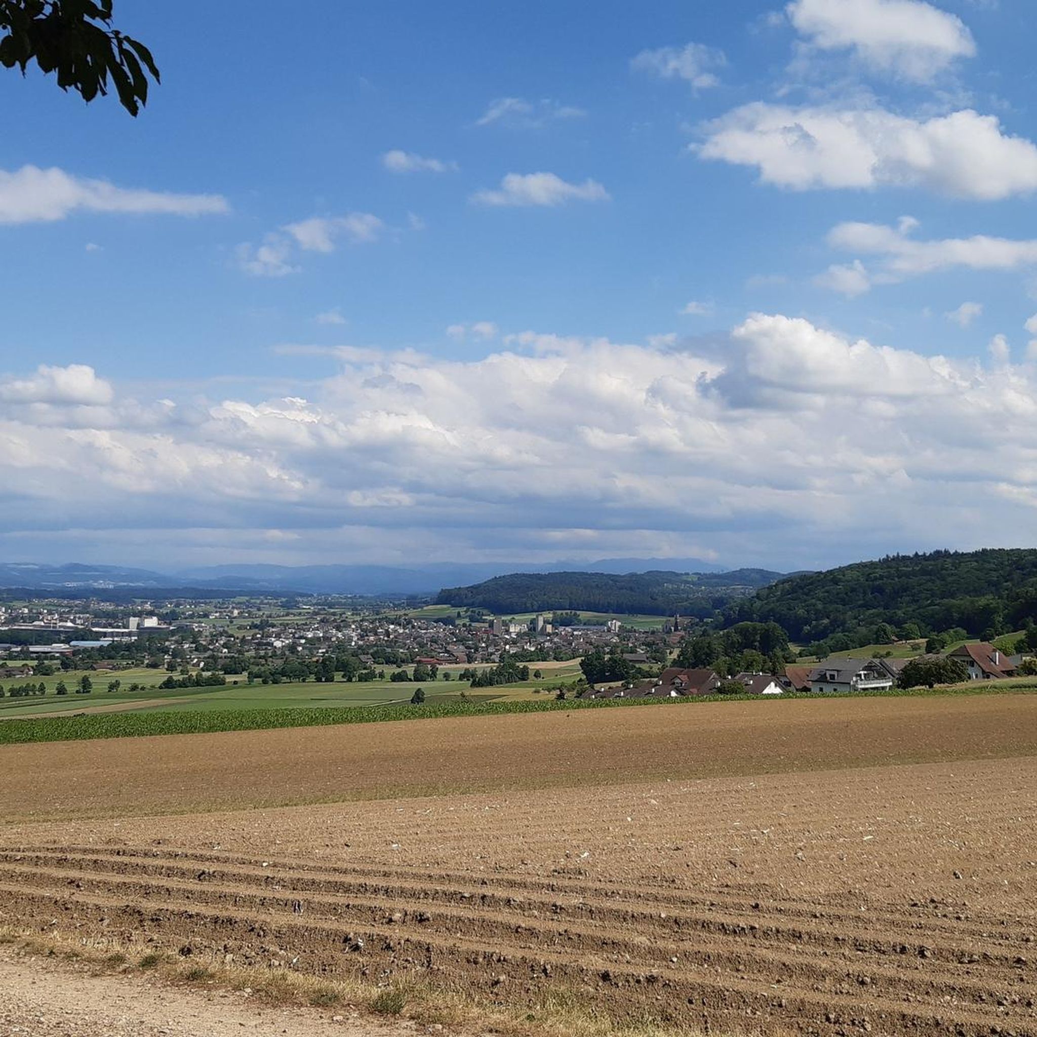
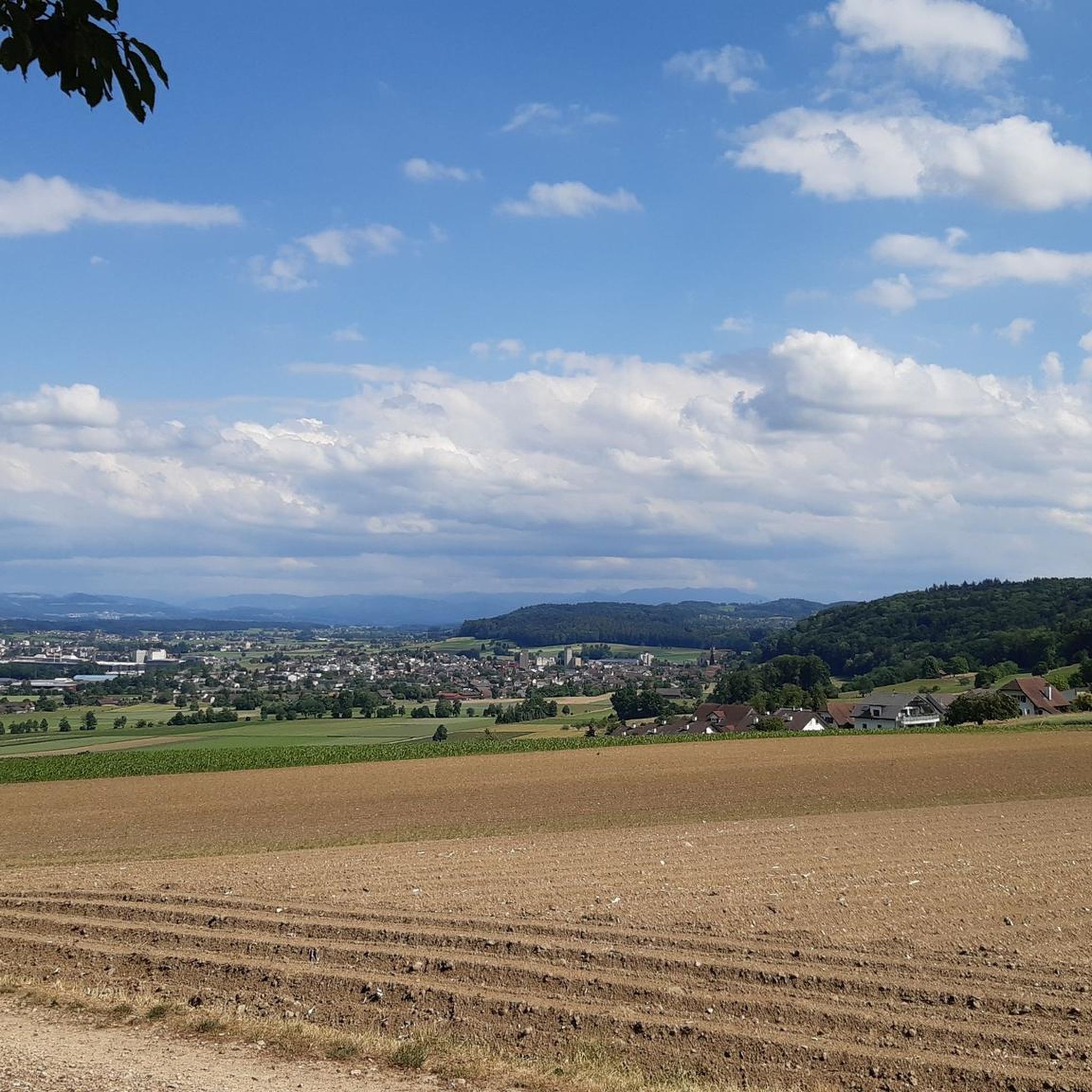

Tips from the Community

Currently not very easy to reach by bike as the area has been recently cut down
1
0
Hidden inconspicuously in the forest lies the highest point in the Lenzburg district.
1
0

Dreihägen has, figuratively speaking, changed a lot, more transparent and brighter, many trees have been cut down
0
0
Very, very narrow, flat path-like trail
1
0

The ideal starting and ending point for circumnavigating the lake. Large parking lot available, including a swimming pool if you feel like it.
1
0

I used to ride the trail from Wildegg. This time from Brunegg.... I have the impression that Wildegg is the better option.
1
0
The Siebenzwingstein is a boundary stone. You can find the exact meaning on Wikipedia. https://de.wikipedia.org/wiki/Siebenzwingstein?wprov=sfla1 If you just whiz by, you'll hardly see it, as it lies a few meters above the road.
1
0

Is hidden just before the paths cross.
1
0
Frequently Asked Questions
What are the most notable elevated points or 'peaks' around Dintikon?
While Dintikon is characterized by rolling hills rather than alpine peaks, the region offers several noteworthy elevated points. Two prominent examples include the Highest point in the Lenzburg district (712 m above sea level), which is the highest elevation in the district, and the historical Siebenzwingstein Boundary Stone at 607 meters above sea level.
What is the historical significance of the Siebenzwingstein Boundary Stone?
The Siebenzwingstein Boundary Stone is a unique landmark marked by intertwined granite blocks. It signifies the meeting point of three municipalities (Gränichen, Teufenthal, and Seon) and three districts (Lenzburg, Kulm, and Aarau) within the Canton of Aargau. Historically, it was a meeting point for seven communities or administrative districts, known as 'Zwingbezirke'.
Are there challenging hiking trails near Dintikon's elevated points?
Yes, for those seeking a challenge, the Chestenberg Trail is known to be demanding. It features beautiful viewpoints, an antenna, and a small Stone Age settlement. Hikers should be prepared for a challenging descent with roots and small ledges, especially in wet conditions.
What kind of trails can I expect at the Highest point of Dottikon Dreihägen?
The Highest point of Dottikon Dreihägen (549 m above sea level) offers a great trail that is strongly rooted, rough, and lushly vegetated. It's suitable for improving technical skills, whether you're going up or down.
What outdoor activities can I do near these elevated points around Dintikon?
The area around Dintikon is well-suited for various outdoor activities. You can explore numerous MTB trails, enjoy gravel biking routes, or go for a run on the many running trails that wind through the landscape.
Are there any viewpoints or scenic spots among Dintikon's elevated points?
Yes, several elevated points offer scenic views. The Chestenberg Trail, for instance, passes by beautiful viewpoints. While the Highest point in the Lenzburg district is hidden in the forest, the general area provides opportunities to enjoy the surrounding natural landscape and views of the Reuss River.
What is the highest point in the Lenzburg district?
The highest point in the Lenzburg district is an elevated area reaching 712 meters above sea level. It is somewhat inconspicuously hidden within the forest but is a rewarding destination for hikers aiming to reach the highest elevation in the region. You can find more details about it here: Highest point in the Lenzburg district (712 m above sea level).
Are there any family-friendly options for visiting elevated points near Dintikon?
While specific 'family-friendly' designations for the elevated points themselves are not always explicit, the general area around Dintikon is suitable for outdoor activities like hiking and cycling, which can be adapted for families. For dining and relaxation near the water, the Seerose Hotel & Restaurant on Lake Hallwil is a family-friendly option with a beautiful garden.
What kind of natural features can I expect to see on trails around Dintikon's elevated points?
Trails around Dintikon's elevated points often feature forests, such as the one concealing the Highest point in the Lenzburg district. You'll also encounter rooted and rough paths, especially at locations like the Highest point of Dottikon Dreihägen, and potentially views of the Reuss River and natural reserves like those near Hallwilersee.
What do visitors appreciate most about the elevated points around Dintikon?
Visitors appreciate the variety of experiences offered by the elevated points around Dintikon. This includes the historical significance of landmarks like the Siebenzwingstein Boundary Stone, the rewarding challenge of trails such as the Chestenberg Trail with its beautiful viewpoints, and the opportunity to reach the highest elevations in the district, even if they are subtly hidden within the forest.
Can I find places to eat or stay near the elevated points in the Dintikon area?
Yes, while Dintikon itself is a municipality, the surrounding region offers amenities. For example, the Seerose Hotel & Restaurant is located directly on Lake Hallwil, offering dining and relaxation options. You can find various cafes, pubs, and accommodation options in nearby towns and villages, catering to visitors exploring the area's outdoor attractions.
Most popular routes around Dintikon
Most popular attractions around Dintikon

Get inspired with the komoot mobile app


Explore more
See even more amazing summits around Dintikon with these guides:
