Top 20 Natural Monuments around Steenbergen
Best natural monuments around Steenbergen offer diverse natural landscapes for exploration. The region features extensive heathland areas, significant dune systems, and various nature reserves. These areas provide opportunities to experience the natural environment of North Brabant, characterized by varied terrain and local wildlife. The landscape also incorporates historical elements, such as the West Brabant Waterline, which can be appreciated from elevated viewpoints.
Best natural monuments around Steenbergen
- The most popular natural monuments is Borgvlietse Dunes, a natural monument and…
Last updated: August 16, 2026
Borgvlietse Dunes
Highlight • Natural Monument
Translated by Google •
Tip by

De Wachter Art Installation
Highlight • Monument
Translated by Google •
Tip by

Sign up now to discover places like this
Get recommendations on the best single tracks, peaks, & plenty of other exciting outdoor places.
Sign up for free
De Pluimpot Nature Reserve
Highlight • Natural Monument
Translated by Google •
Tip by

Birdwatching Wall De Roode Weel
Highlight • Structure
Translated by Google •
Tip by
Molenbeek Valley
Highlight • River
Translated by Google •
Tip by

Sign up for free to discover even more natural monuments around Steenbergen.
Sign up for free
Already have an account?
Start today with a free account
Your next adventure awaits.
Login or Signup
Popular around Steenbergen
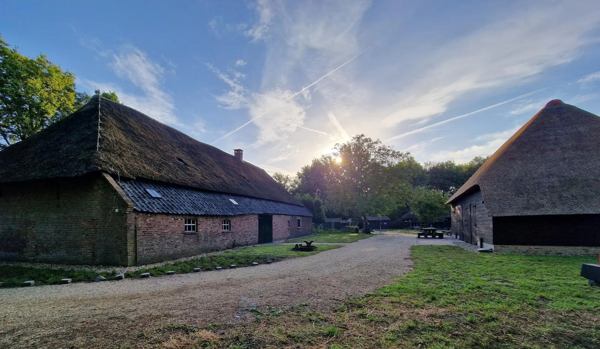
Four versatile Brabant – Nature camping route Noord-Brabant
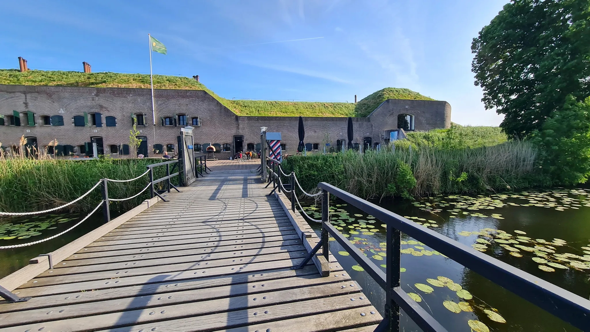
De Waterlinieroute – 8 days along forts and fortified cities
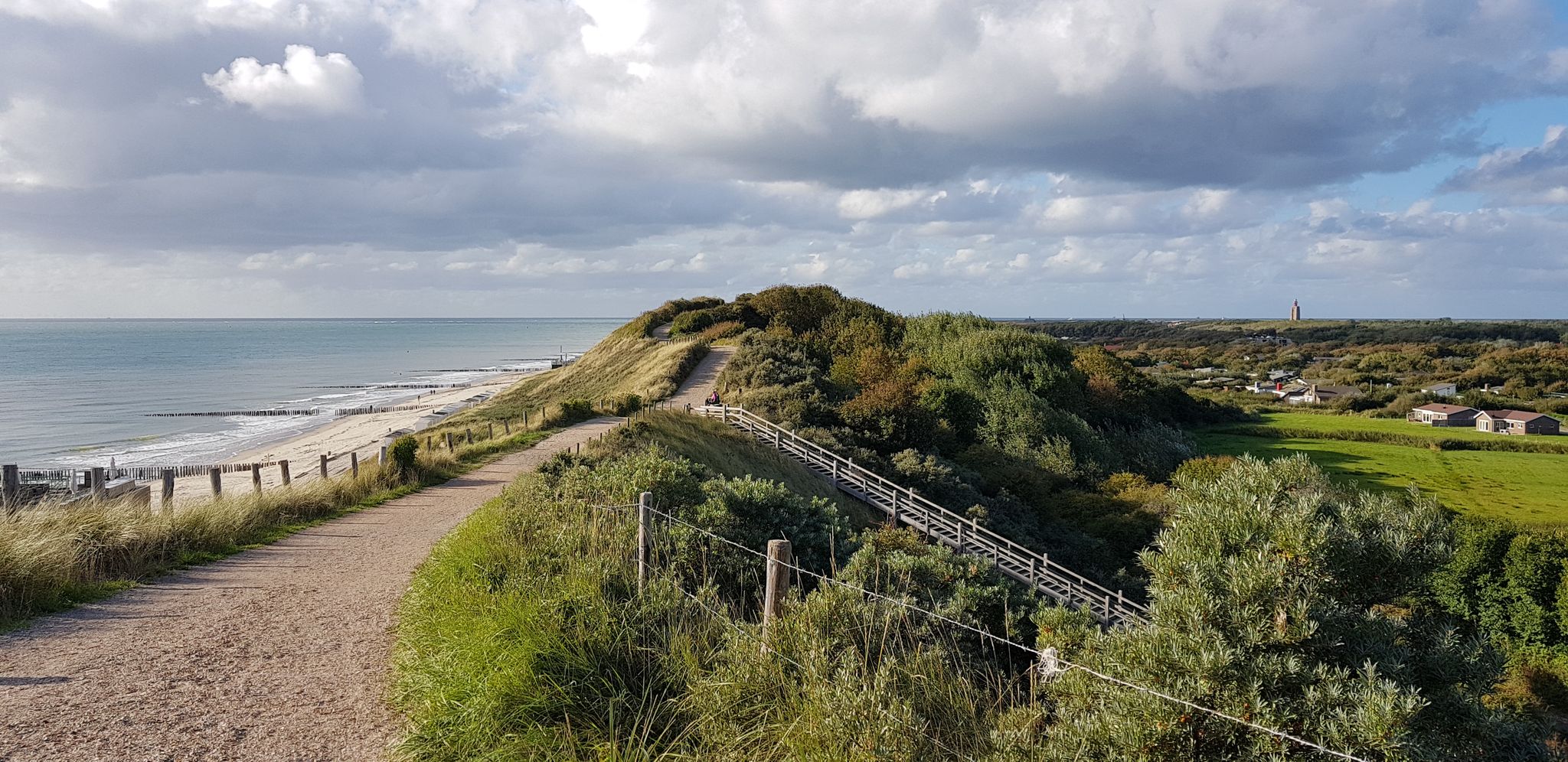
Along the Zeeland Coast — part 1: Dutch Coastal Path (formerly Deltapad)
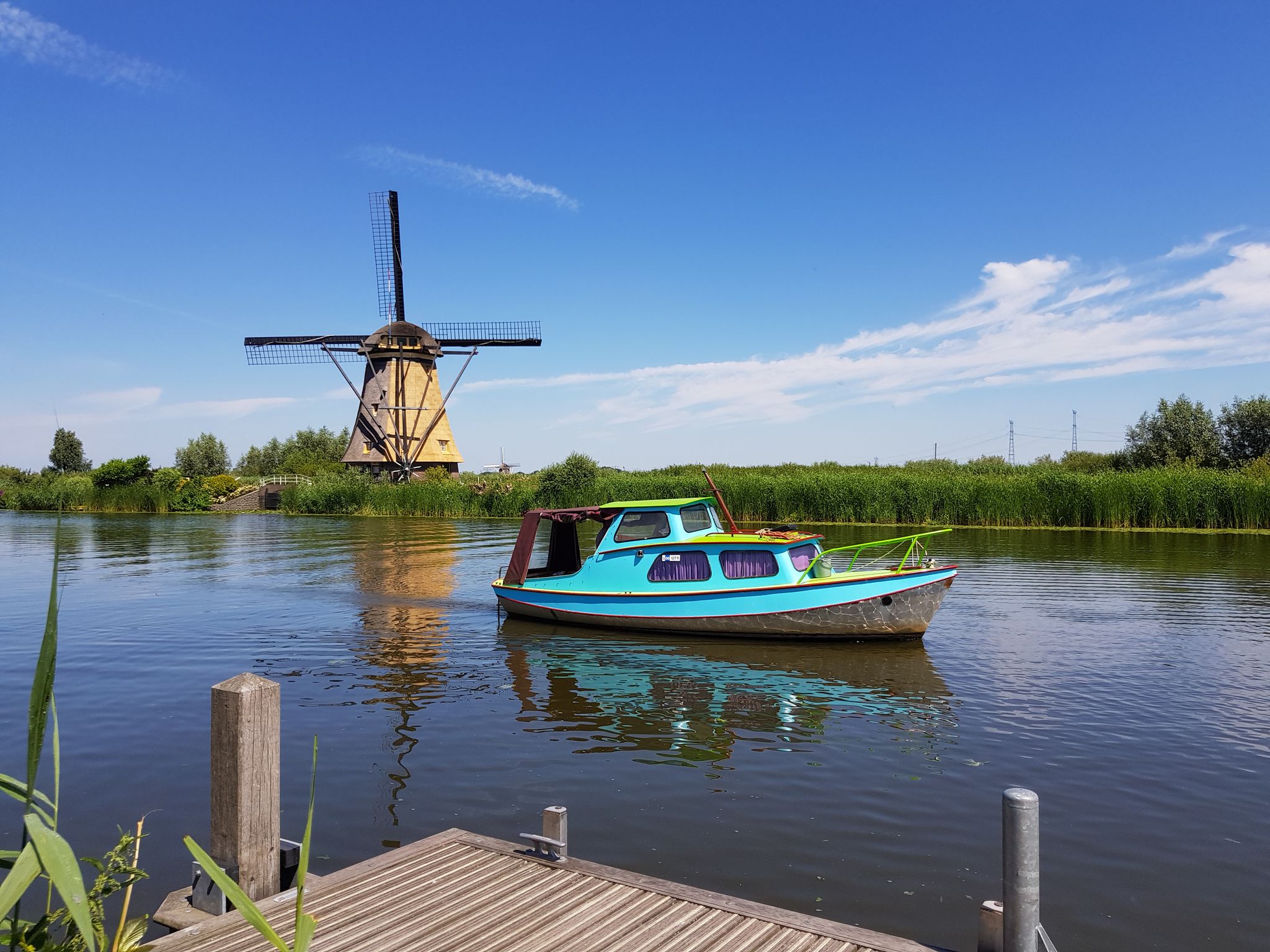
Floris V-pad long-distance hike – Dutch History on LAW 1-3
Road Cycling Routes around Steenbergen
Hiking around Steenbergen
Cycling around Steenbergen
Running Trails around Steenbergen

Gravel biking around Steenbergen
MTB Trails around Steenbergen
Other adventures around Steenbergen


Tips from the Community

Endless large sand plain. Just beautiful to see!
1
0

The Borgvliet Dunes are the breeding grounds of the Nightjar. That's why those beams are there; stay behind them to avoid disturbing the nests! You can also sometimes see deer passing by in the distance.
1
0

The Borgvlietse Duinen is a vast area with sand drifts, crossed by the walking route Trage Tocht Zoomland. The area is reminiscent of the larger Loonse and Drunense Duinen, a little further away in Brabant, but in a more compact form. The landscape is rugged and quiet, with wide sandy plains and special nature.
1
0

Along the Oostdijk between the Tonnekreek and Willemstad is 'De Wachter' a special work of art. De Wachter stands exactly on the spot where the storm surge on 1 February 1953 hit and flooded the Ruigenhilpolder. The work of art is an eight-metre-high hill, on which sheep can graze. The work of art De Wachter, by artist Marius Boender, was built along the Hollandsch Diep at the spot where the dike broke during the Flood Disaster in 1953. The reason for the monument was the completion of the dike reinforcement in 2001. The work of art is an eight-metre-high, pyramid-like clay hill, overgrown with grass. You can climb the work of art via a path that winds over the work of art. There is a good chance that you will do so in the company of grazing sheep. The creation of the work of art was a challenge, because factors such as weight (not too heavy), weather resistance (rain and wind) and construction (not subsidence under pressure from visitors) had to be taken into account. Source: https://www.visitmoerdijk.nl/nl/locaties/2645610321/de-wachter
6
0
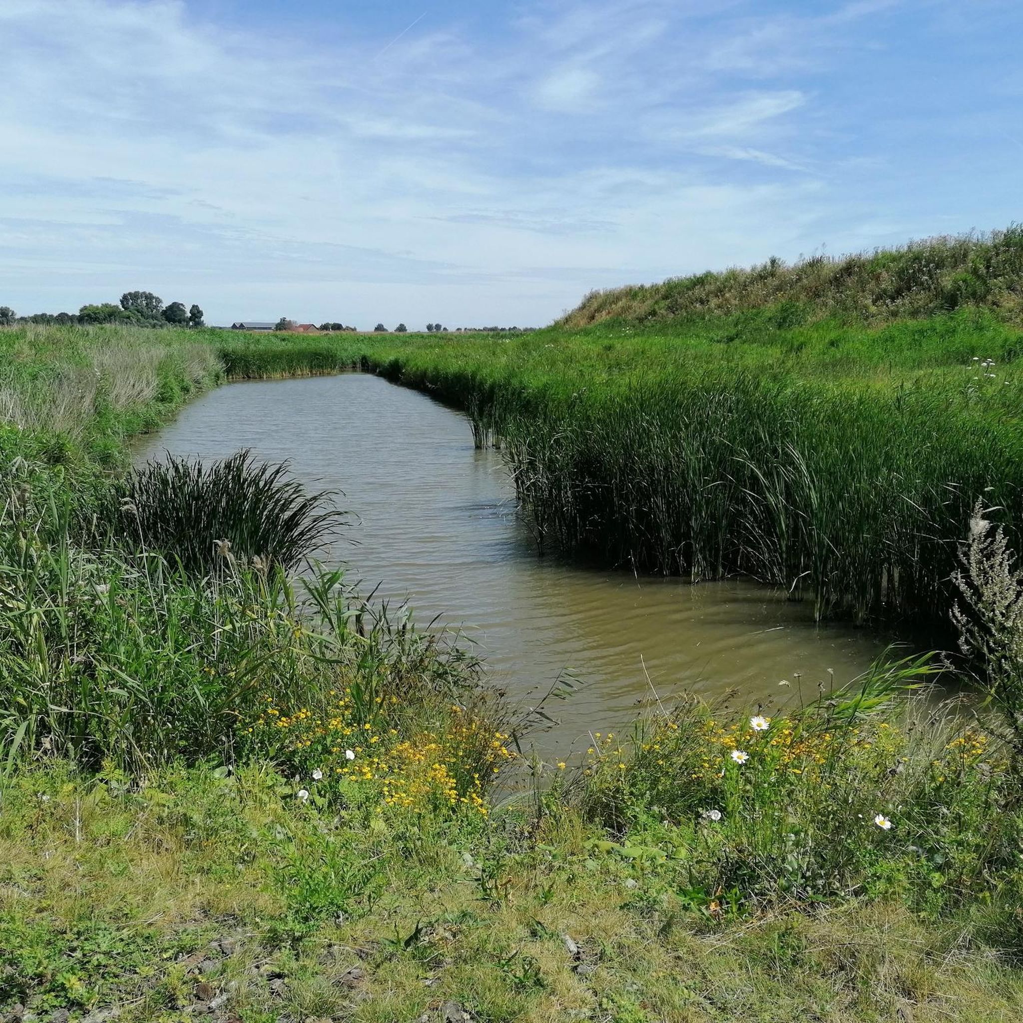
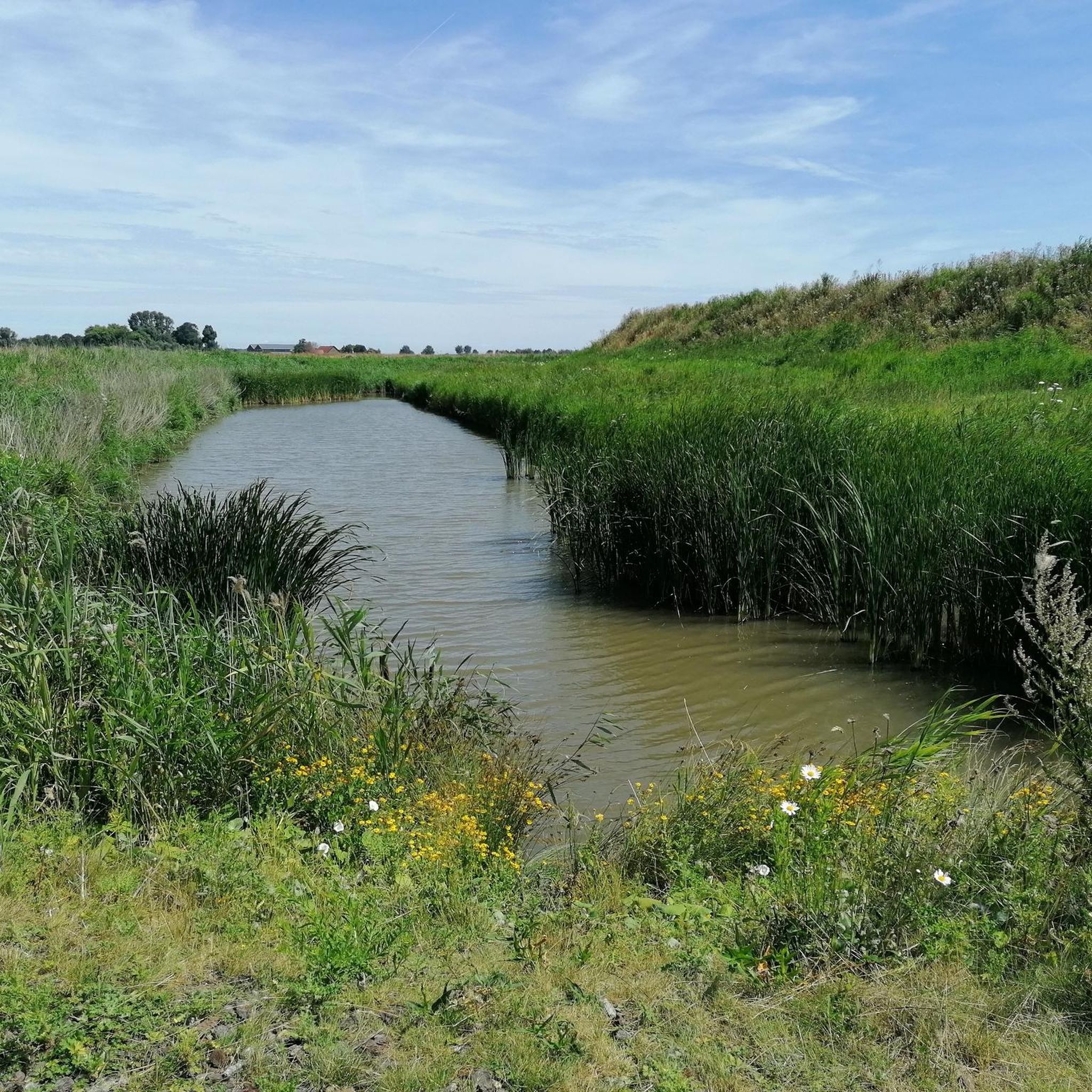
The De Roode Weel wheel was created after a dike breach. It is located in a nature reserve that is part of the Cruijslandse Kreken. This area near the fortified town of Steenbergen is a true paradise for bird lovers. Because it is the domain of, among others, the marsh harrier, water rail, common snipe and little owl. They can be 'secretly' spotted from the birdwatching hut since the beginning of 2018. This architectural masterpiece is located at the bottom of the dike and offers a magnificent view of the Roode Weel. It is made of Accoya wood, just like the picnic jetty at De Blauwe Sluis. This creates unity between the various objects along the West Brabantse Waterlinie. Want to know more? Click through to https://www.zuiderwaterlinie.nl/vestingsteden/natuurgebieden/cruijslandse-kreken
5
0
Take a seat and discover the main characters in this water feature. Each season is colored differently. It's up to you to recognize the players. Information boards give tips and reveal external characteristics.
5
0

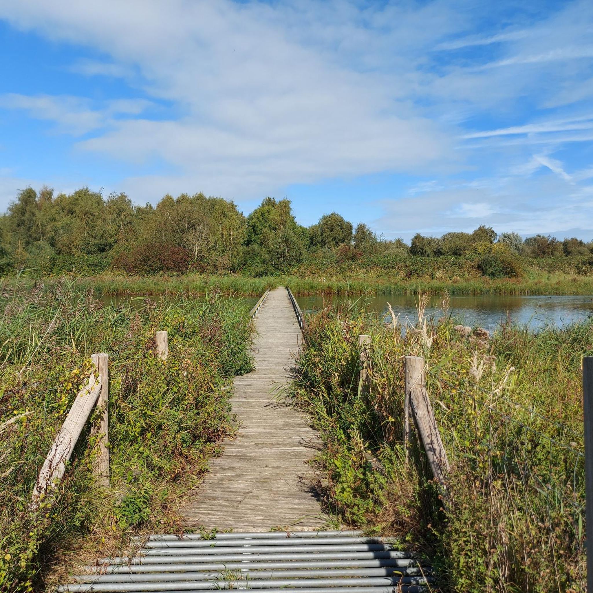
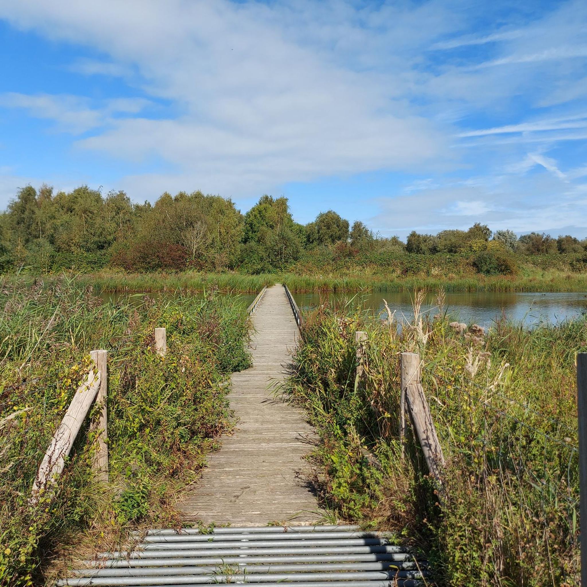
De Pluimpot is a small but fascinating nature reserve on Tholen. You can access it via some accesses to the walking paths with information boards such as here. You can also access it via the parking lot at the tiny beach and the village. On the other side of the road you see a sign for a piece of nature, Tholen Dorpsbos St. Maartendijk, but that is only a small piece of green and not really a forest. Back to De Pluimpot. You can read everything about the nature reserve on this link: https://www.zeeland.com/nl-nl/visit/190_nl/natuurgebied-de-pluimpot There you can see that the Pluimpot was one of the largest channels when Tholen still consisted of small islands separated by channels. De Pluimpot was even the sea channel that divided Tholen in two after all the salt marshes had already been reclaimed. Already in the sixteenth century, people started to dam the Pluimpot and the last part was closed in 1957. Today's nature reserve was created after that damming and is therefore a dammed creek where you will find many water birds (and others) and also a specific flora. Binoculars are useful with all those birds. There is a wooden bridge over part of the creek and there are paths that run all the way next to the water, to or from the area around the Sint-Maartensdijk swimming pool.
6
0

The work of art is an eight-metre high hill on which sheep can graze. De Wachter, by artist Marius Boender, was built along the Hollandsch Diep at the spot where the dike broke during the 1953 flood disaster.
3
0
Frequently Asked Questions
What types of natural landscapes can I explore around Steenbergen?
The Steenbergen region offers a diverse range of natural landscapes. You can explore extensive heathland areas like the Rucphense Heide, significant dune systems such as the Borgvlietse Dunes, and various nature reserves including De Pluimpot Nature Reserve. There are also river valleys like the Molenbeek Valley, providing varied ecological experiences from sandy plains to wetlands.
Are there good viewpoints to appreciate the natural scenery around Steenbergen?
Yes, there are several excellent viewpoints. The De Wachter Art Installation, an eight-meter-high hill, offers panoramic views. Additionally, the Pompejus Observation Tower, though a man-made structure, provides stunning 25-meter-high views overlooking the West Brabant Waterline, Steenbergen, and even the Peperbus van Bergen op Zoom.
Can I spot wildlife in the natural monuments near Steenbergen?
Yes, wildlife spotting is possible. The Borgvliet Dunes are recognized as important breeding grounds for the Nightjar, and you might spot deer in the distance. De Pluimpot Nature Reserve is known for its diverse flora and water bird populations. For bird enthusiasts, the Birdwatching Wall De Roode Weel is a dedicated spot to observe species like the marsh harrier, water rail, and little owl.
What outdoor activities can I do near these natural monuments?
The area around Steenbergen is excellent for various outdoor activities. You can find numerous routes for running, mountain biking, and cycling. For detailed routes, explore the Running Trails around Steenbergen, MTB Trails around Steenbergen, and Cycling around Steenbergen guides.
Are there family-friendly natural monuments or trails?
Many natural monuments in the region are suitable for families. The Borgvlietse Dunes, De Wachter Art Installation, De Pluimpot Nature Reserve, Birdwatching Wall De Roode Weel, and Molenbeek Valley are all categorized as family-friendly, offering accessible paths and engaging natural features for all ages.
When is the best time of year to visit the natural monuments around Steenbergen?
The natural monuments around Steenbergen can be enjoyed year-round, but specific seasons offer unique experiences. The Rucphense Heide is particularly picturesque in the summer months when the heath transforms into a vibrant purple landscape. Spring and autumn also provide pleasant weather for walking and cycling, with changing foliage and active wildlife.
Are there any natural monuments with historical significance?
Yes, the region's natural landscapes often intertwine with its history. The De Wachter Art Installation commemorates the 1953 flood disaster, standing at the spot where the dike broke. The Molenbeek Valley also holds historical value, with old water mills dating back to the Middle Ages along its banks. The broader West Brabant Waterline, visible from viewpoints like the Pompejus Observation Tower, is a significant historical defense line.
What kind of terrain can I expect on trails in these natural areas?
The terrain varies across the natural monuments. In areas like the Borgvlietse Dunes and Rucphense Heide, you'll encounter extensive sand drifts and heathland paths. River valleys such as the Molenbeek Valley feature green meadows, forests, and marshy sections. Many areas offer rugged and quiet landscapes, with some trails being more challenging than others.
Are there specific rules or advice for visiting the Borgvliet Dunes?
When visiting the Borgvlietse Dunes, it's important to stay behind designated beams. This is to avoid disturbing nesting birds, particularly the Nightjar, for which the dunes are an important breeding ground. The area is known for its rugged and quiet landscape, offering a unique natural experience.
What makes De Pluimpot Nature Reserve unique?
De Pluimpot Nature Reserve is a small but fascinating area that was once a large sea channel. Now a dammed creek, it is known for its specific flora and abundant water bird populations. It offers a tranquil environment with walking paths along the water, making it a great spot for nature observation.
Are there any less crowded natural monuments or hidden gems to explore?
While popular, areas like De Pluimpot Nature Reserve offer a serene experience, being a smaller, fascinating nature reserve. The Molenbeek Valley, with its beautiful green meadows and forests, also provides a peaceful atmosphere away from larger crowds, allowing visitors to enjoy the natural surroundings and spot birds.
Most popular routes around Steenbergen
Most popular attractions around Steenbergen

Get inspired with the komoot mobile app


Explore more
Extend your search for the best caves by checking out these guides of the top ones around Steenbergen:
