The 11 Most Amazing Peaks around Freienwil
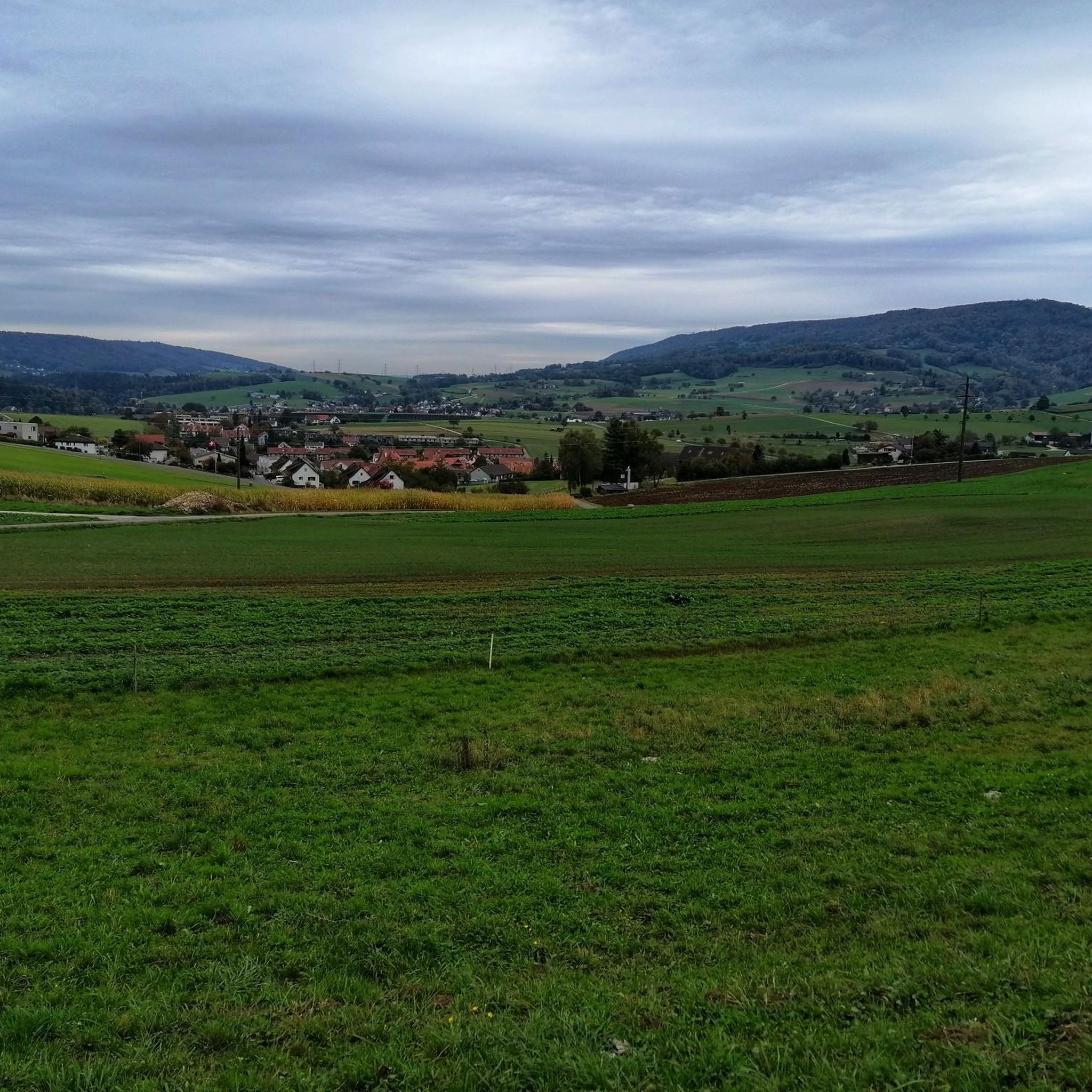
Mountain peaks around Freienwil are characterized by the region's unique topography. Freienwil is situated at an elevation of 465 meters, nestled in a valley on the eastern edge of the Siggenberg. The Siggenberg, a range of hills within the Jura mountains, features its highest point, Hörndli, at 624 meters above sea level. This area provides elevated natural features offering scenic views of the surrounding Limmat and Surb valleys, along with recreational opportunities for hiking and enjoying the tranquil Swiss countryside.
…Last updated: June 24, 2026
Upper Tower (Roman Tower), Kaiserstuhl
Highlight • Monument
Translated by Google •
Tip by

Burghorn
Highlight • Viewpoint
Translated by Google •
Tip by

Sign up now to discover places like this
Get recommendations on the best single tracks, peaks, & plenty of other exciting outdoor places.
Sign up for free
Erdmannliloch
Highlight • Cave
Translated by Google •
Tip by

Bad Zurzach
Highlight • Settlement
Zurzachs as place of pilgrimage after the death of the holy Verena in the year 344 n. Chr. The burial …
Translated by Google •
Tip by
Summit of the Hottwil Climb
Highlight • Summit
Tip by

Sign up for free to discover even more peaks around Freienwil.
Sign up for free
Already have an account?
Start today with a free account
Your next adventure awaits.
Login or Signup

Tips from the Community

At 859 meters, the Burghorn is the highest point on the Lägerngrat. From here, you can enjoy spectacular panoramic views: to the south over the Limmat Valley to the Alps 🏔️, and to the north into the Surb Valley and the Aargau Jura 🌳 – a perfect place for a break with a view!
10
0

Definitely worth a visit
0
1

A visit to the Erdmanndliloch is a MUST for bikers.
0
2
Arriving at the foot of the Erdmanndliloch is already exhausting enough, climbing the Erdmanndliloch with your biker boots is also a breathtaking effort. Once you've done it😃😀😃
1
1
Without many words, the Erdmandli Loch is unique, in an impressive mystical nature
1
1

The Grottenburg Hohfluh, also Balmburg Hohfluh, on the map of Switzerland as Erdmännliloch, also Erdmannliloch, is the ruin of a medieval cave castle near Bachs in the canton of Zurich. It is the only known cave castle in the canton of Zurich (Wikipedia),
4
0

very nice border town on the Rein
0
1

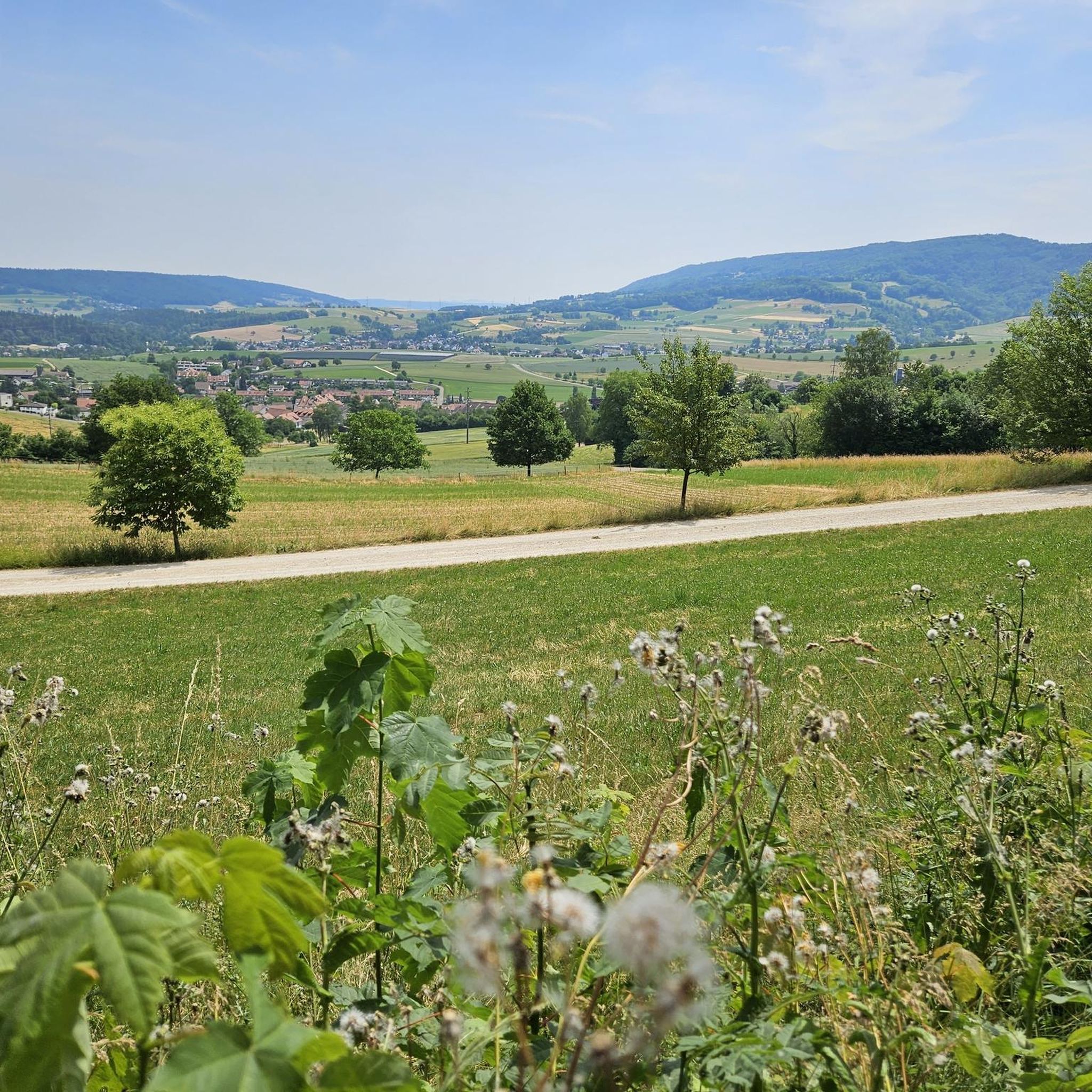
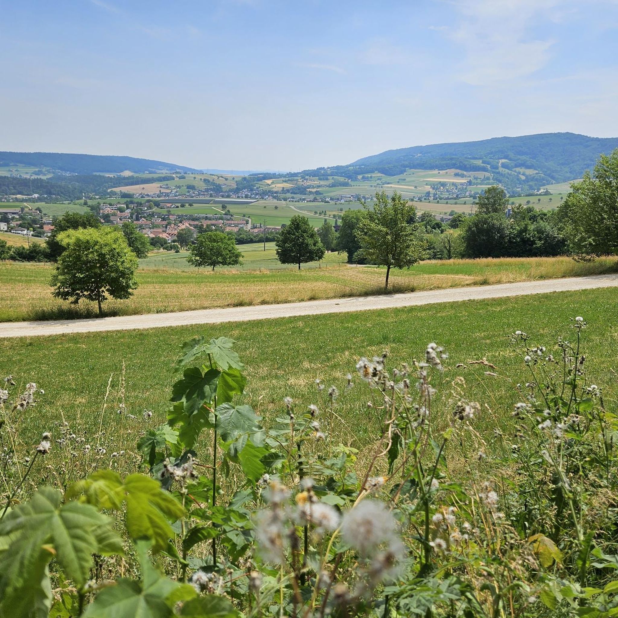
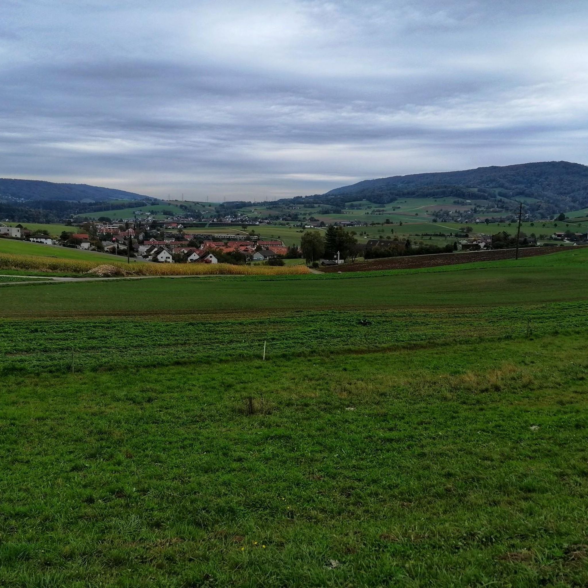
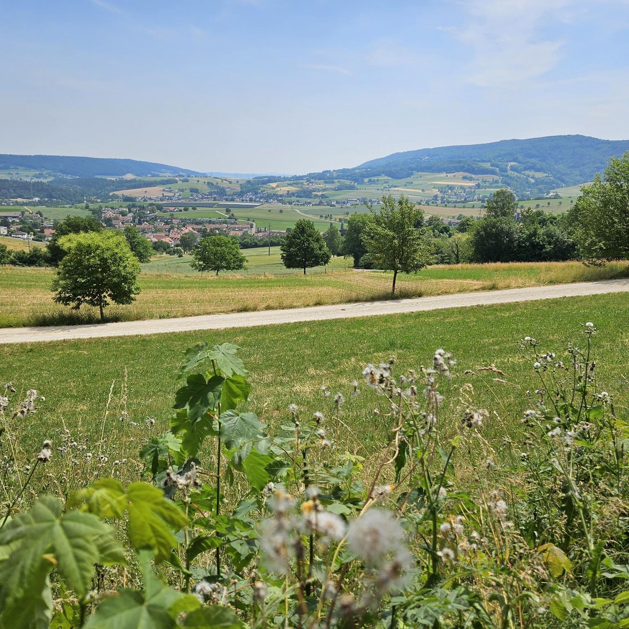
The climb from Hottwil finishes with a nice reward of the valley below towards the Rhein Valley, the Black Forest in Germany and on the other side a view of the Aare Valley with Brugg and Baden in the background. The descent to Remigen is on a smooth asphalted service and there is a fountain to fill up your water bottles at the main intersection in Remingen.
0
0
Frequently Asked Questions
What are the most notable elevated natural features around Freienwil?
While Freienwil is not characterized by towering mountain peaks, its most significant elevated natural feature is the Siggenberg, a range of hills within the Jura mountains. Its highest point, known as Hörndli, reaches 624 meters above sea level. This area offers scenic views and recreational opportunities.
Which viewpoints offer the best panoramic views near Freienwil?
For extensive panoramic views, visit Burghorn, the highest point on the Lägerngrat at 859 meters, offering vistas over the Limmat Valley towards the Alps and into the Surb Valley. Another excellent option is the Altberg Observation Tower, which provides breathtaking views of the Lägern ridge, Zurich, and the Alps on clear days from its 30-meter height.
Are there any historical or unique natural sites on summits around Freienwil?
Yes, you can explore Erdmannliloch, a unique cave and historical site on a summit. This natural monument is known for its historical significance as a potential grotto castle and the legends surrounding it.
What kind of outdoor activities can I do near the elevated areas of Freienwil?
The region around Freienwil offers diverse outdoor activities. You can find numerous routes for hiking, mountain biking, and gravel biking. For specific trails, explore the guides for Hiking around Freienwil, MTB Trails around Freienwil, and Gravel biking around Freienwil.
Are there family-friendly options for exploring the elevated features?
Yes, several spots are suitable for families. Burghorn is noted as family-friendly, offering great views. Additionally, the Rest bench viewpoint, located on a high point with a wonderful panoramic view of Mandach, is also considered family-friendly.
Can I bring my dog on trails around the mountain peaks?
Yes, some trails and viewpoints are dog-friendly. For instance, Burghorn is a dog-friendly natural viewpoint where you and your canine companion can enjoy the panoramic views.
What are the general difficulty levels of trails in the Freienwil area?
The trails around Freienwil vary in difficulty. You can find routes ranging from easy, such as the 'Hiking loop from Ehrendingen', to moderate and challenging options, including those leading to Erdmannliloch or the 'Lägernsattel Ridge Trail – Lägerngrat Ridge Trail loop'.
Where can I find refreshments or a place to rest near the viewpoints?
Near the Altberg Observation Tower, you'll find the Waldschänke, which is open daily (except Tuesdays) and offers refreshments and hearty food. Many viewpoints, like Burghorn and the Rest bench, also feature benches perfect for a short break.
What do visitors enjoy most about the elevated features around Freienwil?
Visitors particularly appreciate the spectacular panoramic views from various points like Burghorn and the Altberg Observation Tower. The opportunity to enjoy tranquil nature, discover unique historical sites like Erdmannliloch, and find peaceful spots for breaks are also highly valued.
What is the highest point on the Lägerngrat ridge?
The highest point on the Lägerngrat ridge is Burghorn, which stands at 859 meters above sea level. It offers extensive panoramic views.
Are there any specific climbs that offer rewarding views?
Yes, the Summit of the Hottwil Climb offers a rewarding experience. From its summit, you can enjoy views of the valley towards the Rhein Valley, the Black Forest in Germany, and the Aare Valley with Brugg and Baden in the background.
Most popular routes around Freienwil
Most popular attractions around Freienwil

Get inspired with the komoot mobile app


Explore more
See even more amazing summits around Freienwil with these guides:
