Top 7 Mountain Passes around Avila
Best mountain passes around Avila are found within the Sierra de Gredos mountain range in central Spain. This region features numerous passes that connect various valleys and areas. The passes offer routes for cyclists and hikers, alongside historical significance. The landscape includes diverse terrain and natural features.
Best mountain passes around Avila
- The most popular mountain passes is Puerto de la Lancha, a mountain pass that forms part of a challenging route in the Sierra de Guadarrama. It is…
Last updated: July 6, 2026
Puerto de Navalmoral
Highlight • Mountain Pass
Translated by Google •
Tip by

Puerto de la Lancha
Highlight • Mountain Pass
Translated by Google •
Tip by
Sign up now to discover places like this
Get recommendations on the best single tracks, peaks, & plenty of other exciting outdoor places.
Sign up for free
Portacho del Cuchillo
Highlight • Mountain Pass
Translated by Google •
Tip by

Las Fuentes Pass
Highlight • Mountain Pass
Translated by Google •
Tip by
Villatoro
Highlight • Settlement
Translated by Google •
Tip by
Alto Cuesta del Chicho (Sierra de la Paramera)
Highlight • Mountain Pass
Translated by Google •
Tip by
Collado de la Honda
Highlight • Mountain Pass
Translated by Google •
Tip by
Start today with a free account
Your next adventure awaits.
Login or Signup

Other adventures around Avila

Tips from the Community

It's an open pass in the inhospitable landscape typical of this area. It's highly recommended because it offers easy connections to other passes such as Serranillos and Mijares.
0
0

A relatively simple port, with good asphalt and road visibility, moderate (average 5%) and constant gradients. It can be tricky on a windy day.
0
0

The Collado de la Honda is the final part of an old glacier that ends at this point. The glacier is the result of ancient times when the glacial movements were more southern and this is an example of how in this area of the middle of the Meseta there were.
1
0
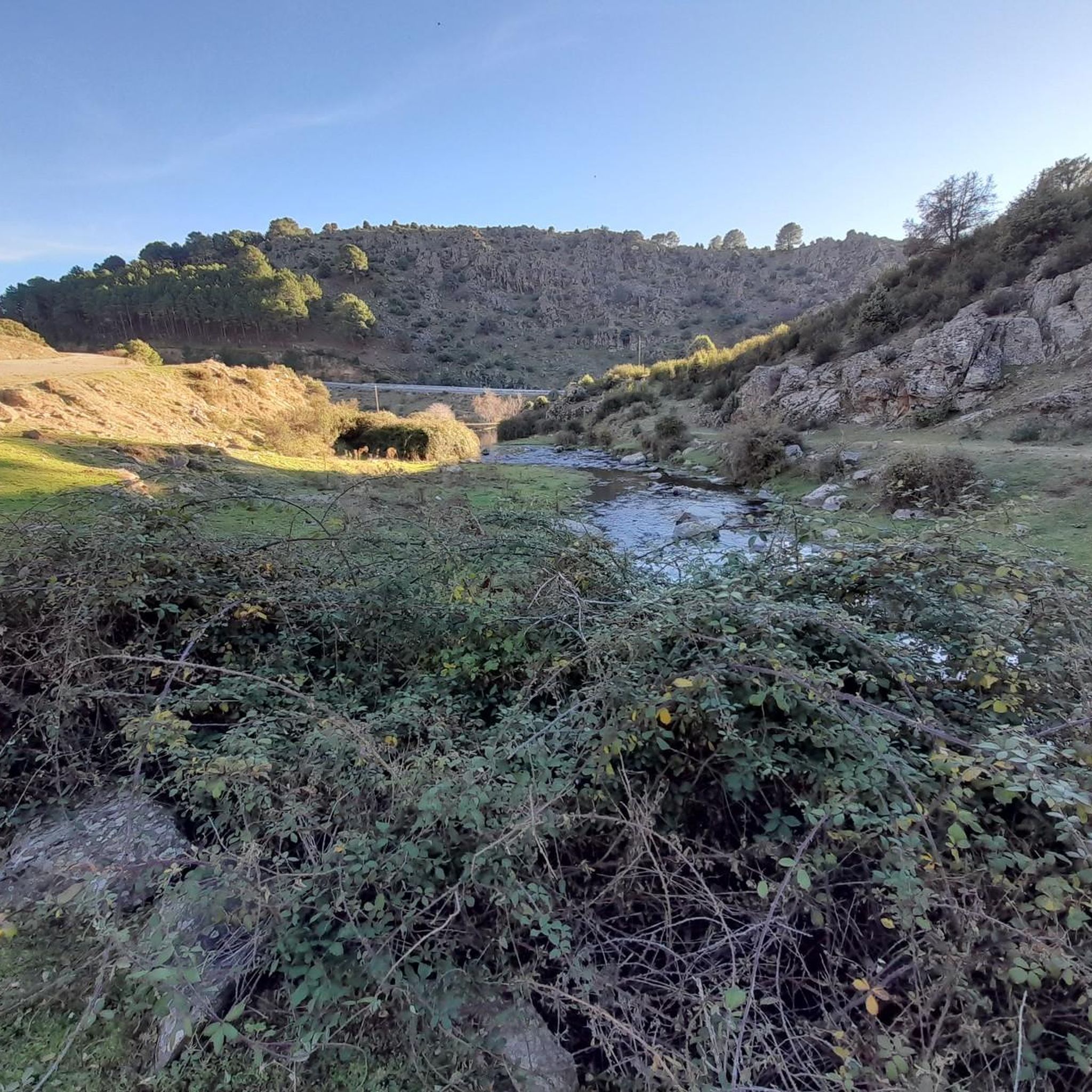
The Río de la Garaganta descends through this valley that has formed over the years and that lets us see how the Sierra de Panamera peaks rise behind us.
1
0
Beautiful mountain pass located in the Sierra de Guadarrama and joining La Cruz de Hierro port, together with La Lancha, create a tough but beautiful route!
0
0
The relief of the municipality is formed by two mountainous areas separated by the Amblés valley, through which the Adaja river runs, which is born in the territory. The northern area is called Sierra de Villanueva, a branch of the Sierra de Ávila.
0
0
Mountain pass located in the center of the province of Ávila and which is 1,499 meters above sea level and connects the Amblés valley with San Juan del Olmo and the Muñico valley.
0
0
This is one of the ports that was best known for world cycling at the end of the 20th century for the Vuelta España. But the port was reformed years ago and nowadays it is more open and where there are windy days, it is an important factor.
1
0
Frequently Asked Questions
What historical significance do the mountain passes around Ávila hold?
Many passes in the Ávila region have deep historical roots. For instance, Puerto de Menga was part of a Roman road, and remnants of this ancient track can still be found. Similarly, Puerto del Pico features a well-preserved section of an ancient paved road, historically part of a route connecting Santiago de Compostela with Seville.
Which mountain passes offer the best panoramic views in the Sierra de Gredos?
Several passes provide breathtaking vistas. Puerto de Serranillos offers spectacular views of the Cinco Villas Valley and the Gredos peaks. The upper part of Puerto de Mijares provides panoramic views of rebollo oak and chestnut forests, while Las Fuentes Pass is also known for its scenic viewpoints.
Are there challenging cycling routes through the mountain passes in Ávila?
Yes, the region is renowned for its challenging cycling routes. Passes like Puerto de Serranillos and Puerto de Mijares are highly valued by cyclists for their length, elevation gain, and scenic beauty. Puerto de Serranillos, for example, has an 18 km ascent with an average gradient of 4% from its northern face.
What kind of natural features can I expect to see at these mountain passes?
The passes offer diverse natural landscapes. Puerto de Mijares features rebollo oak and chestnut forests on its south face, and extensive pastures and broom fields on the northern slopes. Portacho del Cuchillo is notable for its impressive mass of spurs, towers, and channels, and the striking Risco del Cuchillo boat, a unique geological formation.
When is the best time to visit the mountain passes around Ávila?
The best time to visit generally depends on your activity. For cycling and hiking, spring and autumn offer pleasant temperatures and vibrant landscapes. Summer can be warm but is also popular. Winter can bring snow to higher passes, making them suitable for winter sports or requiring specific gear.
Are there opportunities for birdwatching near the mountain passes?
Yes, Puerto de Mijares is a significant migratory corridor for numerous bird species. It offers unique birdwatching opportunities, particularly during the pre-nuptial and post-nuptial migration periods, allowing visitors to observe a variety of avian life.
What outdoor activities can I do near the mountain passes in Ávila?
Beyond exploring the passes themselves, the region offers a variety of outdoor activities. You can find numerous routes for gravel biking, hiking, and running. For example, there are several gravel biking routes and hiking trails around Ávila, catering to different difficulty levels.
Which mountain pass is known for its connection to the Vuelta a España cycling race?
Puerto de Serranillos gained media attention for its inclusion in the 1983 Vuelta a España, where cyclist Bernard Hinault made a decisive move. Puerto de Navalmoral is also known for its inclusion in the Vuelta España, featuring moderate and constant gradients.
Are there any family-friendly spots or easy walks near the mountain passes?
While many passes offer challenging routes, some areas provide gentler options. The settlement of Villatoro, which is also a mountain pass, is categorized as family-friendly and features a river, suggesting more accessible terrain. For specific easy walks, it's best to check local trail information.
Can I combine multiple passes for an extended cycling route?
Absolutely. Many passes in the Sierra de Gredos are strategically located to allow for extended routes. For example, Puerto de Serranillos can be linked with Puerto del Pico, Pedro Bernardo, and Mijares. Puerto de Pedro Bernardo is also often combined with Mijares and Serranillos for longer, enjoyable climbs.
What makes Puerto de Pedro Bernardo a classic cycling route?
Puerto de Pedro Bernardo is considered a classic in the Sierra de Gredos for its well-maintained, winding, and picturesque road. The ascent from the CL-501 towards the town involves ramps of around 5-6%, and the section after passing through the town offers beautiful views over the Tiétar Valley, feeling like a balcony over the landscape.
What is the terrain like on the mountain passes in Ávila?
The terrain varies significantly across the passes. You'll encounter everything from paved roads with moderate and constant gradients, ideal for road cycling, to more challenging trails with spurs, towers, and channels, as seen near Portacho del Cuchillo. The landscape includes diverse natural features from forests to pastures.
Most popular routes around Avila
Most popular attractions around Avila

Get inspired with the komoot mobile app


Didn’t find what you were looking for?
Find even more amazing mountain passes around Avila organized by region:
Explore more
See even more epic mountain passes by checking out these guides around Avila:
