Top 6 Mountain Passes around Campo De Gomara
Best mountain passes around Campo De Gomara are found within the surrounding Soria province, particularly in the Sierra de Urbión, Sierra Cebollera, and the wider Iberian System. These areas offer diverse landscapes, from extensive pine and oak forests to high-altitude vistas. The region provides opportunities for recreational activities such as cycling, hiking, and winter sports, alongside locations of historical significance.
Best mountain passes around Campo De Gomara
- The most popular mountain passes is Canto Hincado Viewpoint, a viewpoint located 1,484 meters above sea level. This spot provides magnificent views of Ágreda and the surrounding area.
- Another must-see spot is Moncayo North-South Gravel Route, a trail that climbs to an elevation of 1,880 meters. This route features sections through light forest and offers views over the Ebro lowlands and rocky mountain landscapes.
- Visitors also love Collado del Tablado, a mountain pass located 1365 meters above sea level. This pass offers fantastic views of the surrounding landscape and serves as a point to descend towards Purujosa or Borobia.
- Campo De Gomara is known for viewpoints, trails, and challenging climbs. The area offers a variety of mountain passes to see and explore, catering to different activity levels.
- The mountain passes around Campo De Gomara are appreciated by the komoot community, with 2 upvotes and 3 photos shared.
Last updated: August 30, 2026
Sierra del Madero Viewpoint
Highlight • Viewpoint
The bad weather is persistent and we decided to finish the stage in Ágreda, an interesting town of three cultures on the slopes of Moncayo. At Hostal Doña Juana they are welcoming and kind to cyclists, even when they arrive soaked and their bikes are muddy. Before dinner there is time to see more towers, palaces, convents, stately homes and stroll through the Moorish quarter, passing through medieval gates with original battlements or in the shape of a horseshoe arch, such as the Puerta del Agua, from the 8th century, the oldest construction of the architectural heritage of Ágreda.
Translated by Google •
Tip by

Soriano Natural Water Trail
Highlight • Trail
Tarazona está cerca y de nuevo podría ser “todo bajada”, en cambio los hitos suben por la colina del cementerio para evitar la carretera principal. También hay flechas del Camino de Santiago. En la entrada de Tarazona está la opción de continuar de frente por el casco histórico o bajar directamente hacia el paseo del río Queiles. Las dos opciones son válidas y descubren las maravillas arquitectónicas de la ciudad, plagada de construcciones históricas, monumentos y piedras centenarias. La torre mudéjar de la iglesia de Santa María Magdalena es un icono del patrimonio artístico junto al edificio del Palacio Episcopal, es difícil pasar por Tarazona y no parar en alguna terraza de la ribera del Queiles para probar sus célebres tortas de masa contemplando el skyline de la ciudad, fusión de culturas revelada en el mensaje universal de la piedra convertida en arte y monumento.
La salida de Tarazona por la popular Vía Verde de la Tarazonica es fácil, hay que pasar por la plaza de San Francisco y seguir hasta el Parque de la Estación, con cuidado de las direcciones prohibidas. El track lleva por las calles permitidas para bicicletas. El camino sigue por la vía verde hasta Tudela, un agradable paseo de una hora en bicicleta por una recta que termina en el río Ebro. El 31 de diciembre de 1885 fue una fecha histórica y emocionante para los habitantes de Tarazona, Tudela y las pequeñas poblaciones agrícolas intermedias, como Murchante, Cascante y Novallas, por fin se inauguraba una línea ferroviaria entre la comarca de Tarazona y la Ribera de Navarra, un canal esencial de comunicación y comercio que estuvo activo hasta 1972, cuando fue desmantelada la vía por falta de rentabilidad. El camino natural salva una carretera por un paso elevado y pasa por el monumento del Escachamatas, como se conocía popularmente el ferrocarril por la lentitud y los frecuentes descarrilamientos de los trenes, y termina en la estación ferroviaria de Tudela. El track sigue hasta el puente del río Ebro, con posibilidad de enlazar con el Camino Natural del Ebro GR-99 y continuar una aventura bikepacking interminable. El punto de retorno es el puente medieval del Ebro, que tiene 360 metros y 17 arcos. En la vuelta pasamos por el casco histórico, la catedral, la plaza Vieja, la Puerta del Juicio y otros rincones empedrados desde hace siglos hasta que llegamos a la estación de Renfe, tomamos de nuevo el firme de la Tarazonica y volvemos por el mismo camino hasta las calles de Tarazona.
La travesía del Parque Natural del Moncayo es un itinerario para bicicletas gravel de diseño particular para enlazar con el Camino Natural Santander Mediterráneo en Ciria, buscando el mejor recorrido circular de bikepacking de vuelta hasta la ciudad de Soria. El track descargado es imprescindible en este tramo, es imposible concretar en estos textos todos los desvíos, cruces y detalles con la misma precisión que ofrece la información digital. La aventura ciclomontañera comienza en la salida de Tarazona, en el cartel del sendero de gran recorrido GR-90, aunque después coincide en pocos tramos. Es importante cargar con provisiones para el resto de la jornada y la siguiente, no es seguro encontrar víveres en los pueblos del camino. La ruta sigue un camino agrícola hasta Grisel y después llega la primera tachuela de la subida en la sierra donde está el Parque Eólico de Grisel. El repecho duro tiene un kilómetro hasta que salta los molinos pero la pendiente es elevada y el firme de piedra suelta exige un esfuerzo extra. En el collado aparece de cerca la enorme ladera del Moncayo cubierta de pinos, robles y hayas. Y encima las cumbres del macizo como islas inalcanzables sobre un mar de bosques misteriosos e impenetrables.
El camino salva otro repecho de piedra suelta y comienza una larga subida por una loma marcada con hitos de rutas ciclistas y senderistas hasta que atraviesa la carretera de Agramonte y conecta con la pista asfaltada del Santuario del Moncayo. La ruta sigue por la carreterita de montaña, atraviesa los hayedos centenarios de la Fuente del Sacristán y en la horquilla de la Fuente de los Frailes se desvía por la izquierda para iniciar el tramo final de la ascensión por la pista forestal del collado Bellido. En el caso de pasar la noche en el Refugio de Majada Baja, donde propongo, al final de la subida, hay que cargar agua en la fuente, después hay arroyos de montaña pero según la estación del año pueden estar secos. En el camino hay varios cruces y desvíos, generalmente siempre es la pista de subida recorriendo toda la vertiente norte del macizo del Moncayo para pasar hacia la cara sur. La subida es larga y constante, sale del bosque y continúa hasta que pasa el desvío del collado Bellido, indicado con hitos en la cuneta de la pista forestal. El final de la ascensión está poco después, en la curva del arroyo de Valdealonso, a unos 1.900 metros de altitud, el camino cambia de pendiente y comienza el descenso. Dos kilómetros después está el Refugio de Majada Baja, es un refugio del parque natural, bien cuidado y disponible para montañeros, ciclistas, cazadores, pastores y usuarios del espacio ambiental del Moncayo. El paraje tiene unas vistas extraordinarias y es difícil pasar al caer la tarde y no quedarse a pasar la noche.
Tip by

Sign up now to discover places like this
Get recommendations on the best single tracks, peaks, & plenty of other exciting outdoor places.
Sign up for free
Canto Hincado Viewpoint
Highlight • Viewpoint
Translated by Google •
Tip by

Moncayo North-South Gravel Route
Highlight (Segment) • Trail
Translated by Google •
Tip by

Alto de la Cruz de Deza
Highlight • Mountain Pass
The ascent has a distance of about 5 km, where the first ones present a difference in level between 3 and 4%; there are about 2 km that its unevenness is between 7 and 8% and the rest at the end of the climb that are between 12 and 14%
Translated by Google •
Tip by
Collado del Tablado
Highlight • Mountain Pass
Translated by Google •
Tip by
Start today with a free account
Your next adventure awaits.
Login or Signup
Popular around Campo De Gomara

Around the World in 80 Days
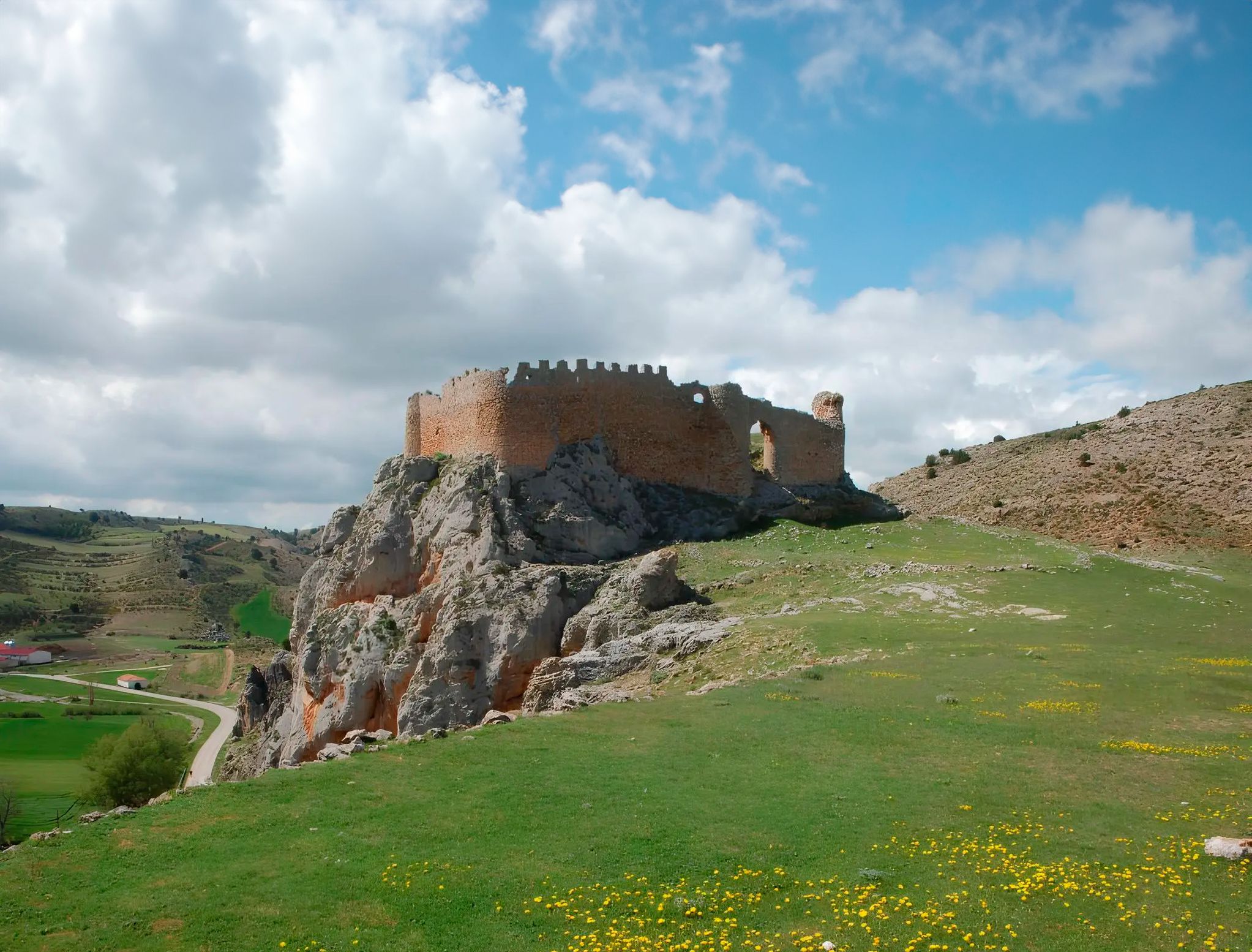
Around the Spanish province of Soria - Sendero Ibérico Soriano (GR 86)
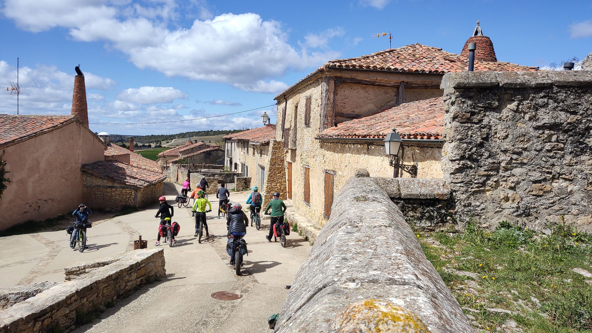
Millennial treasures on pedals – Romanesque art of Soria by MTB
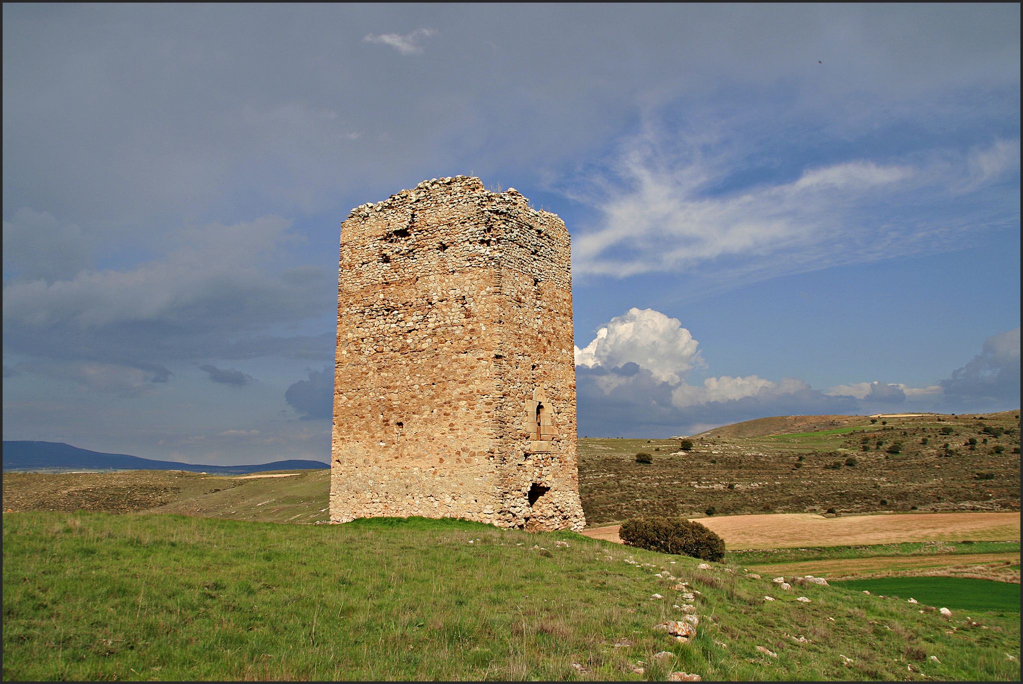
The Duero to the Ebro – Soriano Water Natural Trail
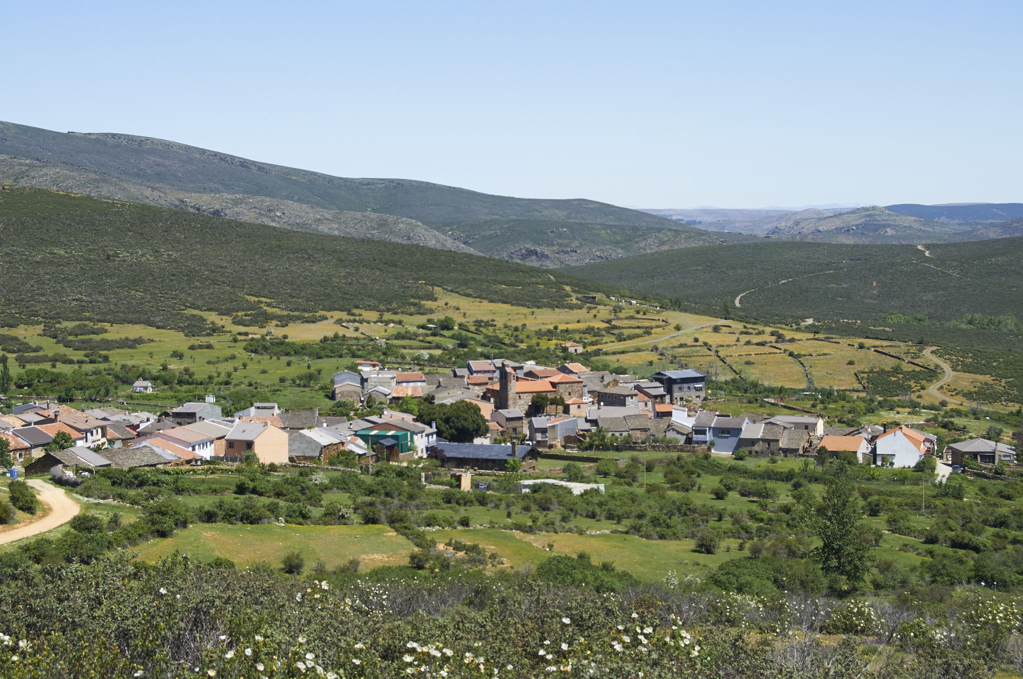
Tierras de Frontera on a gravel bike – El Camino del Cid
El Camino del Cid – The Borderlands on MTB
Camino del Cid by bicycle — frontier lands in Spain
Hiking around Campo De Gomara
Road Cycling Routes around Campo De Gomara
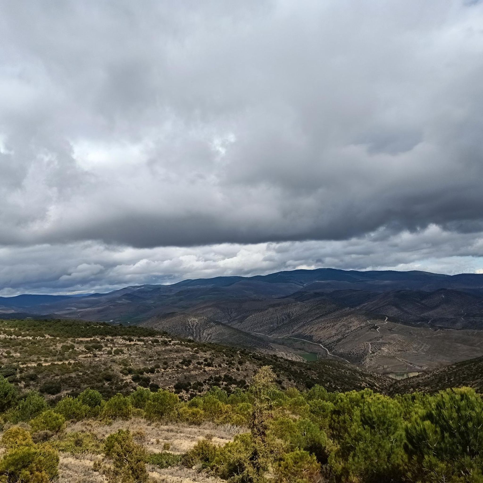
Cycling around Campo De Gomara
Other adventures around Campo De Gomara


Tips from the Community

After the tough climb, we have beautiful views of both valleys
0
0

In June, the climb wasn't passable on a road bike. At least for the first 3 km of the start of the climb. A shame.
0
0

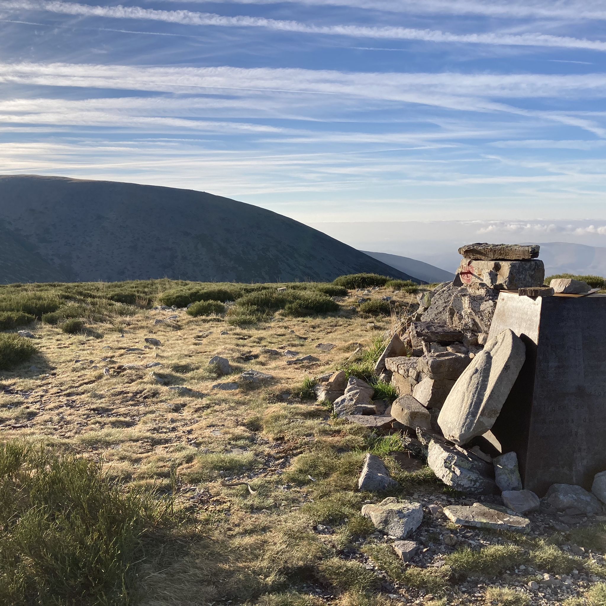
From the beautiful spring at the last parking lot (at the end of the asphalt), the trail climbs mostly over good gravel, sometimes somewhat steeply, to an elevation of 1,880 m. Some sections are in light forest, some with beautiful views over the Ebro lowlands and the surrounding rocky mountain landscapes. You also pass the Baja Majada Refuge, but our favorite in the area is the Cerrogordo Refuge, located a little further south.
0
0

In Pozalmuro we find the bar closed, we have little to do and a storm is also threatening, we fill the kettles with water and begin the ascent of the Sierra del Madero, the mountain pass of the day to jump the Iberian System and cross the Duero basin to the great valley of the Ebro. The climb is a cycle path with quite a slope, it has some studs to avoid the destruction of runoff and maintain the quality of the surface but they require extra effort on each step. The hard slope ends at an extraordinary viewpoint with signs of the landscape, the views are magnificent. Moncayo (2,314 m) is an imposing mass, the roof of the Soria mountains and the highest peak of the Iberian System. We follow the milestones of the natural path down a descent with a couple of delicate curves for the gravel wheels on the loose stone and then a well-conditioned and fun path in a holm oak forest of great environmental quality. The sky turns into hell and we arrive at the town of Muro when the raindrops turn into hail balls, luckily the bar is open here. In Muro is the site of the Roman city of Augustóbriga and in the bar room they have posters highlighting the notoriety of the place. The Roman town was decisive in the Roman conquest and control of the towns that lived in the mountain slopes of Moncayo. The bad weather is persistent and we decided to finish the stage in Ágreda, an interesting town of three cultures on the slopes of Moncayo. At Hostal Doña Juana they are welcoming and kind to cyclists, even when they arrive soaked and their bikes are muddy. Before dinner there is time to see more towers, palaces, convents, stately homes and stroll through the Moorish quarter, passing through medieval gates with original battlements or in the shape of a horseshoe arch, such as the Puerta del Agua, from the 8th century, the oldest construction of the architectural heritage of Ágreda.
0
0

La ruta sale de Ágreda por el trazado del GR-86 Sendero Ibérico Soriano y antes de llegar a Fuentes de Ágreda se desvía hacia Aldehuela. La aldea es encantadora. Las casas están escondidas entre barrancos y arbolado y la única calle del lugar es bastante empinada, hay que estar pendientes del desvío de la ruta por una calleja de hierba, donde está el antiguo lavadero, y continuar por unos caminos de trabajos forestales hasta el nacimiento del río Queiles, en Vozmediano, otra sorpresa fascinante del itinerario. La llegada al pueblo sigue un antiguo sendero de herradura acondicionado para el paso de bicicletas y senderistas que termina en las casas de Vozmediano, debajo del castillo árabe y la magnífica torre del homenaje. Y después es cuando llega la bajada hacia Tarazona por el precioso valle del río Queiles. La parte disfrutona termina en Los Fayos, el primer municipio de Zaragoza, empotrado al pie de unas impresionantes murallas de conglomerados de areniscas rojas plagadas de cuevas y leyendas. Tarazona está cerca y de nuevo podría ser “todo bajada”, en cambio los hitos suben por la colina del cementerio para evitar la carretera principal. También hay flechas del Camino de Santiago. En la entrada de Tarazona está la opción de continuar de frente por el casco histórico o bajar directamente hacia el paseo del río Queiles. Las dos opciones son válidas y descubren las maravillas arquitectónicas de la ciudad, plagada de construcciones históricas, monumentos y piedras centenarias. La torre mudéjar de la iglesia de Santa María Magdalena es un icono del patrimonio artístico junto al edificio del Palacio Episcopal, es difícil pasar por Tarazona y no parar en alguna terraza de la ribera del Queiles para probar sus célebres tortas de masa contemplando el skyline de la ciudad, fusión de culturas revelada en el mensaje universal de la piedra convertida en arte y monumento. La salida de Tarazona por la popular Vía Verde de la Tarazonica es fácil, hay que pasar por la plaza de San Francisco y seguir hasta el Parque de la Estación, con cuidado de las direcciones prohibidas. El track lleva por las calles permitidas para bicicletas. El camino sigue por la vía verde hasta Tudela, un agradable paseo de una hora en bicicleta por una recta que termina en el río Ebro. El 31 de diciembre de 1885 fue una fecha histórica y emocionante para los habitantes de Tarazona, Tudela y las pequeñas poblaciones agrícolas intermedias, como Murchante, Cascante y Novallas, por fin se inauguraba una línea ferroviaria entre la comarca de Tarazona y la Ribera de Navarra, un canal esencial de comunicación y comercio que estuvo activo hasta 1972, cuando fue desmantelada la vía por falta de rentabilidad. El camino natural salva una carretera por un paso elevado y pasa por el monumento del Escachamatas, como se conocía popularmente el ferrocarril por la lentitud y los frecuentes descarrilamientos de los trenes, y termina en la estación ferroviaria de Tudela. El track sigue hasta el puente del río Ebro, con posibilidad de enlazar con el Camino Natural del Ebro GR-99 y continuar una aventura bikepacking interminable. El punto de retorno es el puente medieval del Ebro, que tiene 360 metros y 17 arcos. En la vuelta pasamos por el casco histórico, la catedral, la plaza Vieja, la Puerta del Juicio y otros rincones empedrados desde hace siglos hasta que llegamos a la estación de Renfe, tomamos de nuevo el firme de la Tarazonica y volvemos por el mismo camino hasta las calles de Tarazona. La travesía del Parque Natural del Moncayo es un itinerario para bicicletas gravel de diseño particular para enlazar con el Camino Natural Santander Mediterráneo en Ciria, buscando el mejor recorrido circular de bikepacking de vuelta hasta la ciudad de Soria. El track descargado es imprescindible en este tramo, es imposible concretar en estos textos todos los desvíos, cruces y detalles con la misma precisión que ofrece la información digital. La aventura ciclomontañera comienza en la salida de Tarazona, en el cartel del sendero de gran recorrido GR-90, aunque después coincide en pocos tramos. Es importante cargar con provisiones para el resto de la jornada y la siguiente, no es seguro encontrar víveres en los pueblos del camino. La ruta sigue un camino agrícola hasta Grisel y después llega la primera tachuela de la subida en la sierra donde está el Parque Eólico de Grisel. El repecho duro tiene un kilómetro hasta que salta los molinos pero la pendiente es elevada y el firme de piedra suelta exige un esfuerzo extra. En el collado aparece de cerca la enorme ladera del Moncayo cubierta de pinos, robles y hayas. Y encima las cumbres del macizo como islas inalcanzables sobre un mar de bosques misteriosos e impenetrables. El camino salva otro repecho de piedra suelta y comienza una larga subida por una loma marcada con hitos de rutas ciclistas y senderistas hasta que atraviesa la carretera de Agramonte y conecta con la pista asfaltada del Santuario del Moncayo. La ruta sigue por la carreterita de montaña, atraviesa los hayedos centenarios de la Fuente del Sacristán y en la horquilla de la Fuente de los Frailes se desvía por la izquierda para iniciar el tramo final de la ascensión por la pista forestal del collado Bellido. En el caso de pasar la noche en el Refugio de Majada Baja, donde propongo, al final de la subida, hay que cargar agua en la fuente, después hay arroyos de montaña pero según la estación del año pueden estar secos. En el camino hay varios cruces y desvíos, generalmente siempre es la pista de subida recorriendo toda la vertiente norte del macizo del Moncayo para pasar hacia la cara sur. La subida es larga y constante, sale del bosque y continúa hasta que pasa el desvío del collado Bellido, indicado con hitos en la cuneta de la pista forestal. El final de la ascensión está poco después, en la curva del arroyo de Valdealonso, a unos 1.900 metros de altitud, el camino cambia de pendiente y comienza el descenso. Dos kilómetros después está el Refugio de Majada Baja, es un refugio del parque natural, bien cuidado y disponible para montañeros, ciclistas, cazadores, pastores y usuarios del espacio ambiental del Moncayo. El paraje tiene unas vistas extraordinarias y es difícil pasar al caer la tarde y no quedarse a pasar la noche.
0
0

Located 1365 meters above sea level, the Tablado pass offers fantastic views of the surrounding landscape. From here, you can descend to Purujosa or Borobia. An information panel at the pass provides more details about points of interest along your route.
1
0
Located 1,484 meters above sea level, from the Collado de Canto Hinchado we have magnificent views of Ágreda and the surrounding area.
2
0
We are in the Alto de la Cruz de Deza, located in the Sierra de Miñana, with an approximate altitude of 1298 meters. Also known as the Deza repeater. The ascent has a distance of about 5 km, where the first ones present a difference in level between 3 and 4%; there are about 2 km that its unevenness is between 7 and 8% and the rest at the end of the climb that are between 12 and 14%
1
0
Frequently Asked Questions
What are some of the most scenic mountain passes to visit near Campo de Gómara?
The region offers several scenic passes. Puerto de Piqueras, located in the Iberian System, is known for its extensive pine and oak forests, especially beautiful in autumn, and offers panoramic views over the Duero valley. Puerto de Santa Inés, nestled between the Cebollera and Urbión mountain ranges, provides stunning views of the Picos de Urbión and pleasant walks through dense pine forests. Additionally, Puerto de Oncala in the Tierras Altas de Soria offers excellent views contrasting the Duero and Ebro river basins.
Are there mountain passes suitable for cycling near Campo de Gómara?
Yes, several passes are popular with cyclists. Puerto de Piqueras is favored by cyclists for its challenging ascent and picturesque surroundings, and has even been featured in cycling competitions. Puerto de Santa Inés is also appreciated by cycle tourists for its tranquil ascent and scenic beauty. For a more challenging gravel route, consider the Moncayo North-South Gravel Route, which climbs to 1,880 meters with views over the Ebro lowlands.
Which mountain passes offer opportunities for winter sports?
Puerto de Santa Inés is the primary destination for winter sports. It is home to the Punto de Nieve Santa Inés ski resort, where you can enjoy downhill skiing, cross-country skiing, snowboarding, and snowshoeing when conditions allow.
What cultural or historical sites can I explore near the mountain passes?
Near Puerto de Oncala, you can visit the village of Oncala, which is rich in history related to transhumance. It features a Transhumance Museum and a remarkable collection of 17th-century tapestries in the San Millán church. The Soriano Natural Water Trail also passes by historical sites and settlements like Ágreda and Tarazona, known for their architectural heritage.
Are there family-friendly mountain passes or activities in the area?
Puerto de Santa Inés is considered a good option for families due to its 'human scale' and friendly atmosphere, offering refreshing summer hikes and winter sports opportunities. The area around Puerto de Oncala, with its village and museum, also provides a gentle introduction to the region's natural and cultural heritage.
What are the best times to visit the mountain passes around Campo de Gómara?
The best time depends on your preferred activities. For hiking and enjoying the lush forests, spring and autumn are ideal, with Puerto de Piqueras being particularly spectacular in autumn. For winter sports like skiing and snowshoeing, visit Puerto de Santa Inés during the colder months when snow conditions are suitable. Summer offers pleasant temperatures for hiking at higher altitudes.
Where can I find panoramic views of the surrounding landscape?
Many passes offer excellent viewpoints. The summit of Puerto de Piqueras provides impressive views over the Duero valley. From Puerto de Santa Inés, you can enjoy stunning vistas of the Picos de Urbión. The Canto Hincado Viewpoint, at 1,484 meters, offers magnificent views of Ágreda and the surrounding area. Additionally, the Collado del Tablado provides fantastic views and an information panel about points of interest.
What kind of hiking trails are available near these mountain passes?
You'll find a variety of hiking trails. Near Puerto de Santa Inés, there are routes offering impressive views of the Picos de Urbión and pleasant walks through dense pine forests. The waterfall hikes around Campo De Gomara offer moderate trails like the Barranco del Val. For easier options, explore the easy hikes around Campo De Gomara, such as the Machadian Places of Soria Trail.
Are there challenging routes for experienced hikers or runners?
Yes, for those seeking a challenge, the Alto de la Cruz de Deza is a challenging mountain pass and climb. For trail running, the running trails around Campo De Gomara include difficult routes like the Pico Moncayo trail running route from Cuevas de Ágreda.
What natural features can I expect to see in the mountain pass areas?
The passes are rich in natural beauty. You'll encounter extensive pine and oak forests, especially around Puerto de Piqueras and Puerto de Santa Inés. The area near Puerto de Oncala is home to the 'Acebal de Oncala,' one of Europe's largest holly groves. Many passes also offer views of river basins, such as the Duero and Ebro, and rocky mountain landscapes.
What do visitors enjoy most about the mountain passes around Campo de Gómara?
Visitors frequently appreciate the stunning natural landscapes, from dense forests to panoramic mountain views. The diverse outdoor activities, including challenging cycling routes, tranquil hikes, and winter sports, are also highly valued. The blend of natural beauty with cultural heritage, particularly around places like Oncala, adds to the unique appeal of the region.
Most popular routes around Campo De Gomara
Most popular attractions around Campo De Gomara

Get inspired with the komoot mobile app


Didn’t find what you were looking for?
Find even more amazing mountain passes around Campo De Gomara organized by region:
Explore more
See even more epic mountain passes by checking out these guides around Campo De Gomara:
