Top 20 Natural Monuments in Coos County
Natural monuments in Coos County offer a diverse landscape for exploration. The region features a variety of natural attractions, from impressive waterfalls to expansive sand dunes and dramatic coastal bluffs. These sites provide opportunities for hiking, wildlife viewing, and experiencing the unique beauty of the Pacific Northwest. The area is characterized by its rich collection of natural features, making it a notable destination for outdoor enthusiasts.
Best natural monuments in Coos County
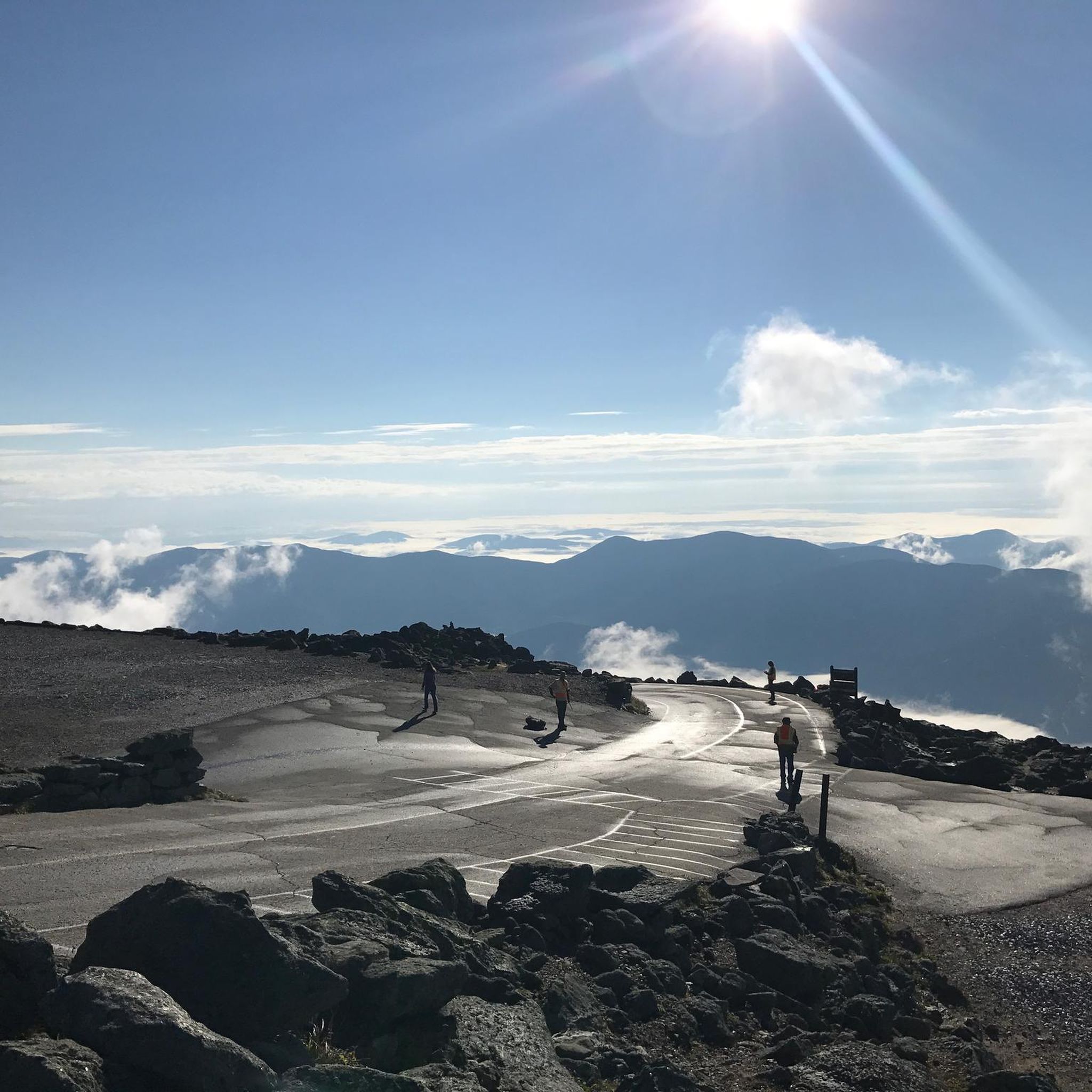
- The most popular natural monuments is Mount Washington Summit, a summit that is the highest elevation in the northeastern United States. This mountain is considered one of the most dangerous on the continent due to rapid and drastic weather changes.
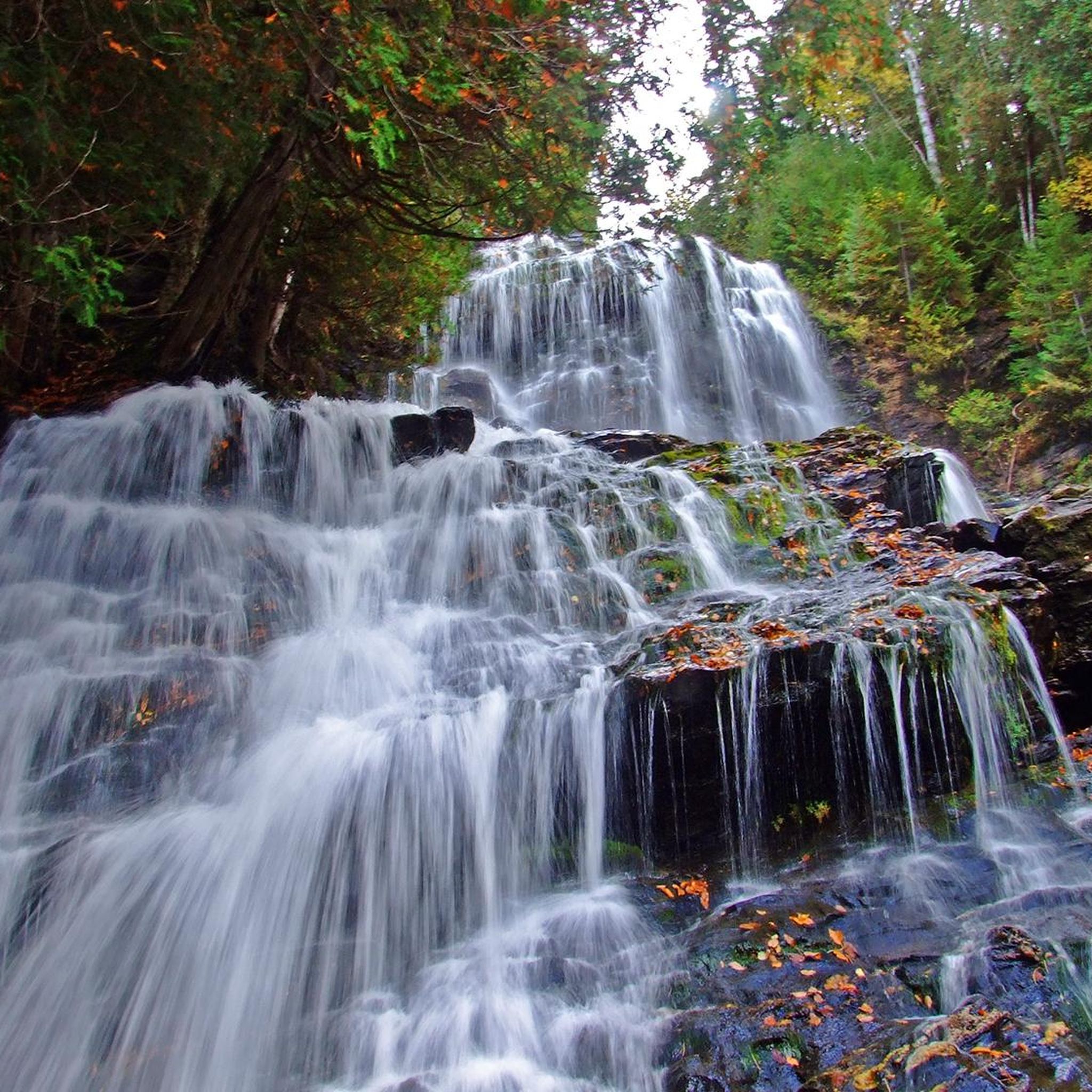
- Another must-see spot is Glen Ellis Falls, a waterfall that is easy to get to and features a well-maintained path. Visitors can expect a 64-foot waterfall with granite steps and viewing areas at various points.
- Visitors also love Mount Jackson Summit, a summit that is one of the two southernmost peaks of the Presidential Range. Getting to its summit is an excellent hike in both winter and summer.
- Coos County is known for summits, waterfalls, and lakes. The region offers a variety of natural monuments to see and explore, including challenging peaks and family-friendly natural areas.
- The natural monuments in Coos County are appreciated by the komoot community, with more than 20 upvotes and over 50 photos shared.
Last updated: June 24, 2026
Mount Washington Summit
Highlight • Summit
If you want to climb the mountain, make sure you have several layers of clothing as well as a wind and rain jacket, even if the weather is still beautiful when you start your hike.
Tip by

Glen Ellis Falls
Highlight • Waterfall
From the start of your short trip to Glen Ellis Falls, you will be surprised, first by the fact that the route starts under the highway and all the work that has gone into the Glen Ellis Falls trail, which is accessible to almost anyone . The log handrails are also impressive. The granite steps and viewing areas, one at the top, another half way down the falls and the last at the base of Glen Ellis Falls. On the way to the falls you may be a bit shocked by the green water in the pool in the Ellis River just before Glen Ellis Falls. The green water is due to high levels of nutrients but offers spectacular color and complements the wonder and excitement of Glen Ellis Falls. Further down the trail as the trail continues you will find that the river suddenly disappears and a little unexpectedly you come to the top of Glen Ellis Falls. If you dare, be sure to watch the falls from the top observation flight where it gives you a straight view of Glen Ellis Falls. Descending the stairs you will find yourself at the base of the falls where there are the best spots for photos. Only downside is your camera lens and the camera will get wet from the spray from this powerful waterfall.
Translated by Google •
Tip by

Sign up now to discover places like this
Get recommendations on the best single tracks, peaks, & plenty of other exciting outdoor places.
Sign up for free
Mount Jackson Summit
Highlight • Summit
Tip by

Crystal Cascade
Highlight • Waterfall
Tip by

Lake of the Clouds Hut and Lakes View
Highlight • Mountain Hut
Tip by
Mount Adams
Highlight • Summit
Tip by
The Alpine Gardens
Highlight (Segment) • Natural Monument
Tip by
Lost Pond
Highlight • Lake
Tip by
Mount Isolation
Highlight • Summit
Mt. Isolation doen't belong to the highest peaks in the Whites but therefor it's quite remote. So if you are looking for a day hike where you can experience some solitude this one is the right one for you.
Translated by Google •
Tip by

Mount Eisenhower
Highlight • Summit
The Appalachian Trail (via Crawford Path) passes near the top of Mount Eisenhower while another trail provides access to the summit.
Tip by
Sign up for free to discover even more natural monuments in Coos County.
Sign up for free
Already have an account?
Start today with a free account
Your next adventure awaits.
Login or Signup
Popular around Coos County

The Appalachian Trail — America's most iconic long-distance hike
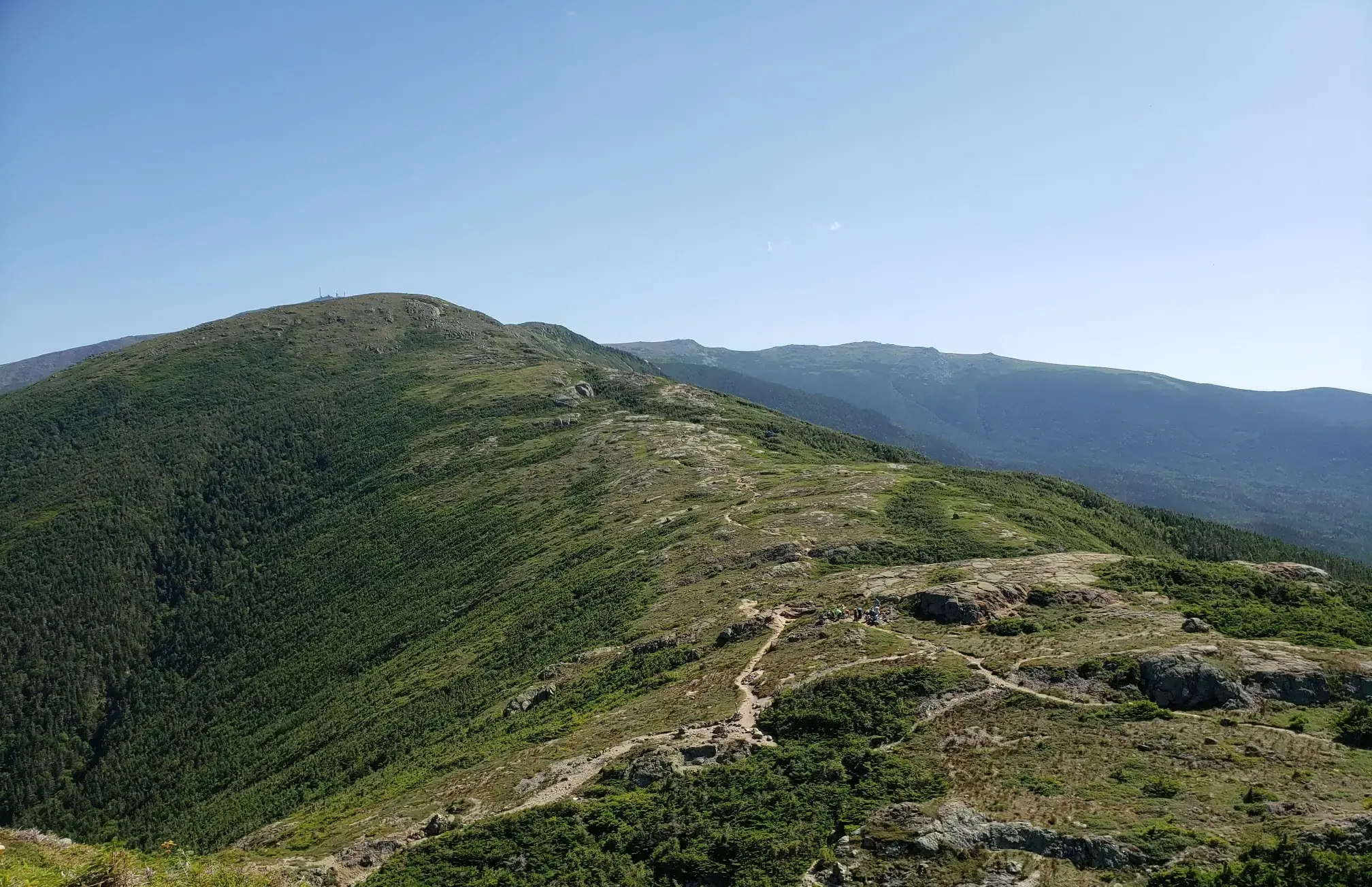
The Presidential Traverse — A classic New Hampshire sandbag
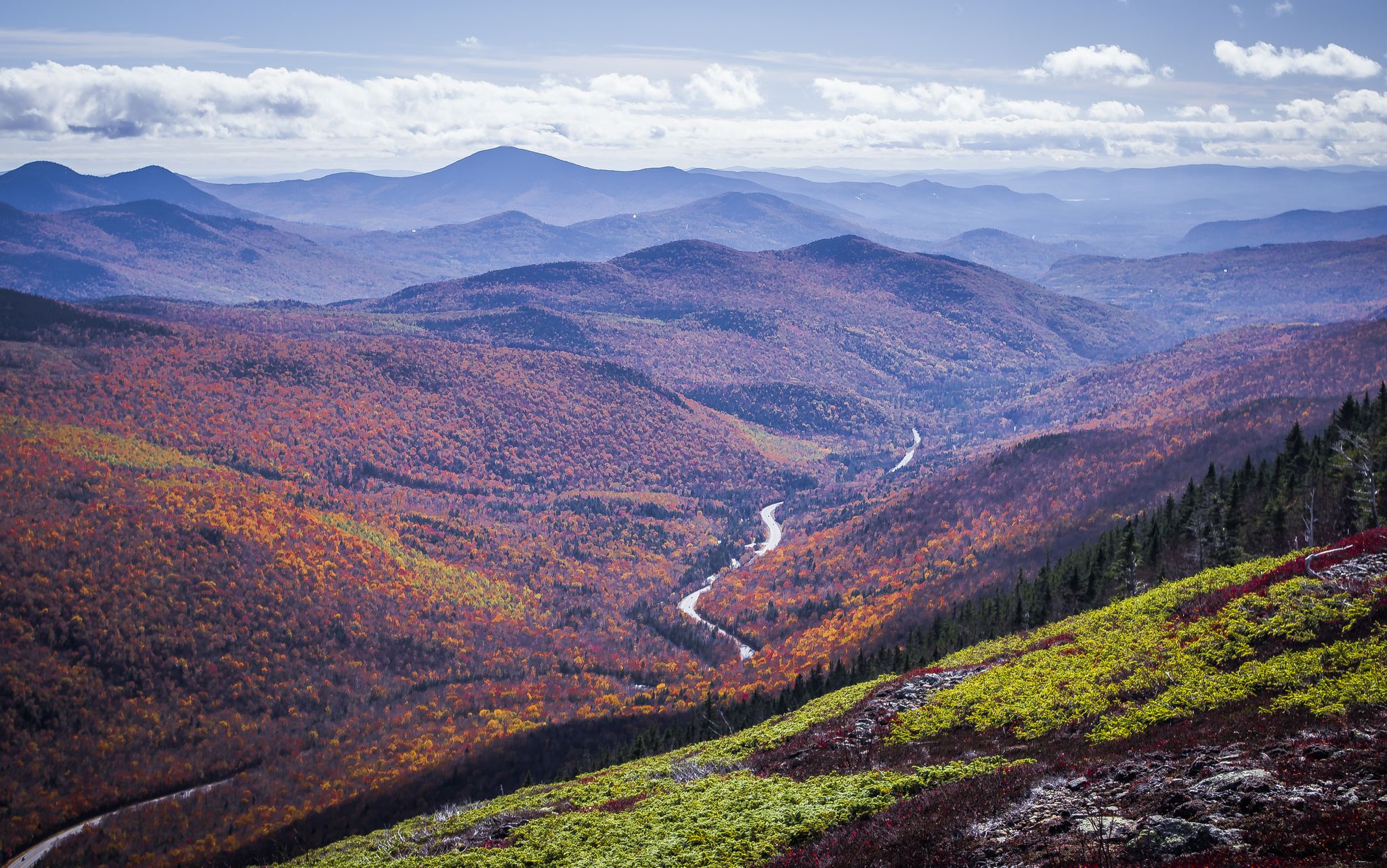
Cohos Trail — Exploring New Hampshire’s remote North Woods
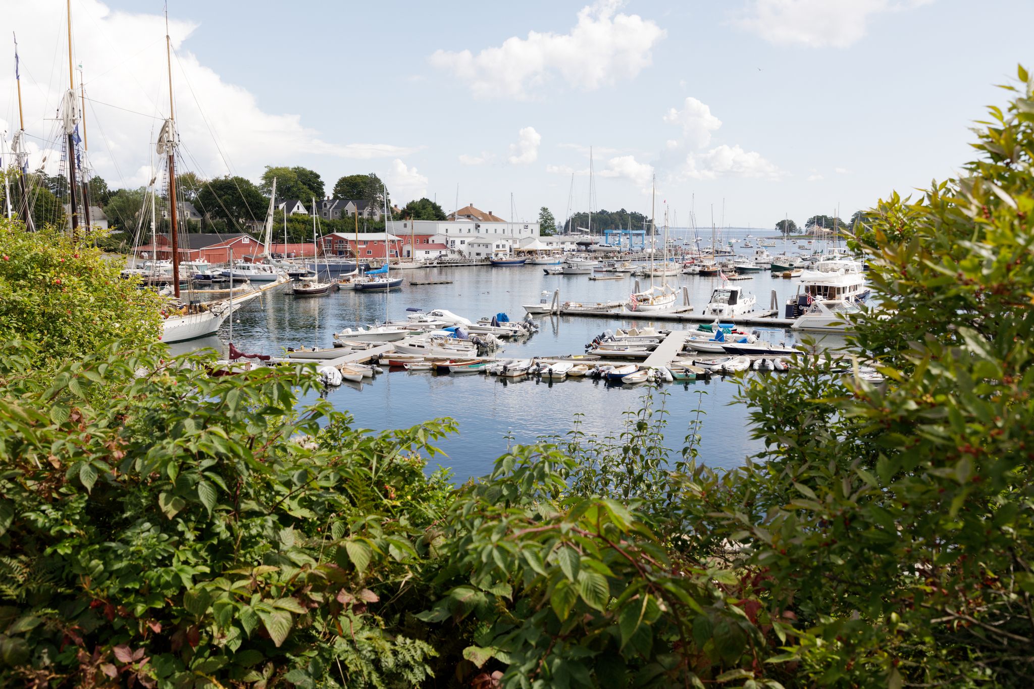
New England – vibrant cities, picturesque coastlines and wild mountain landscapes
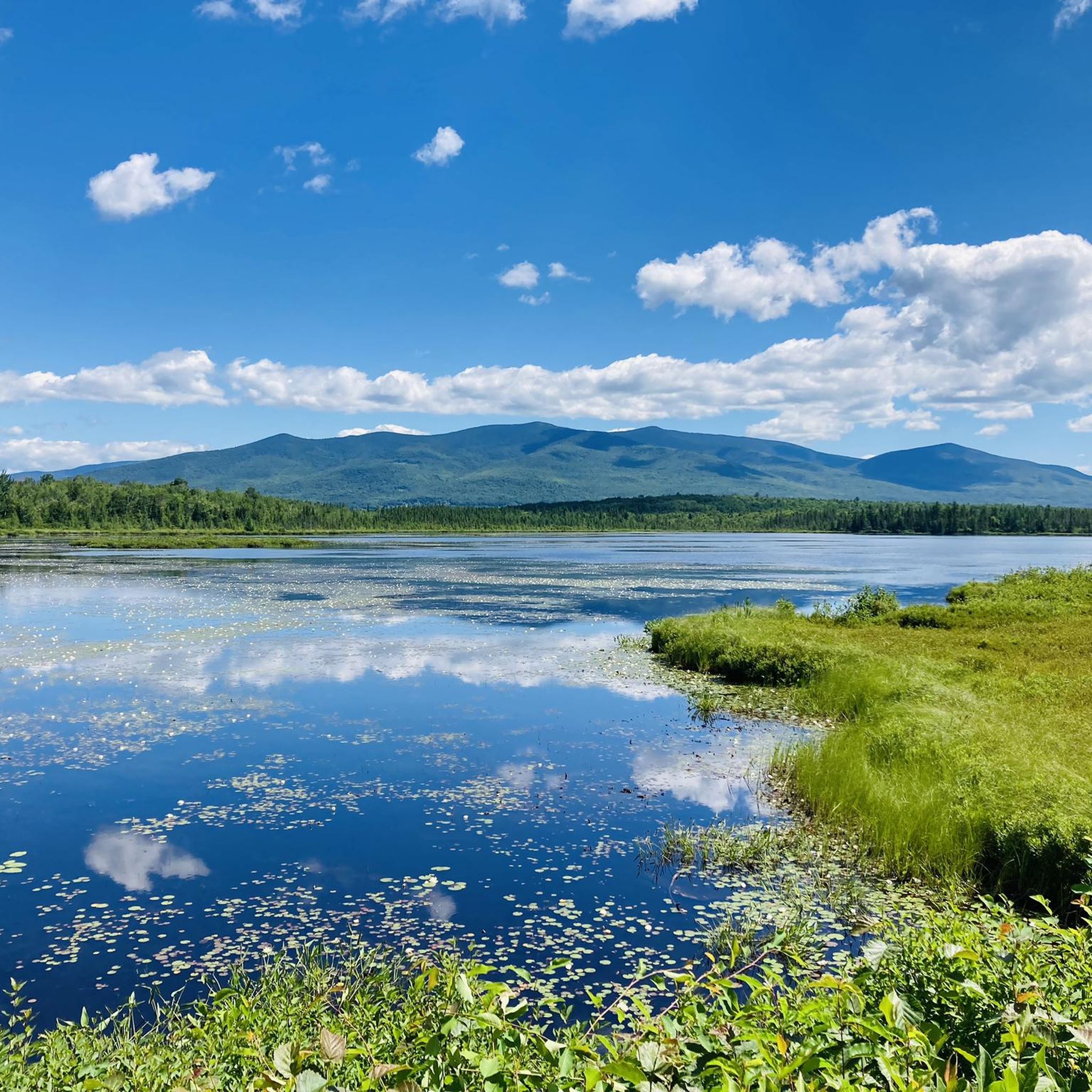
Hiking in Coos County
Running Trails in Coos County
Cycling in Coos County
Road Cycling Routes in Coos County
MTB Trails in Coos County
Other adventures in Coos County


Tips from the Community

Lake of the Clouds Hut is the highest and one of the most iconic of the AMC’s backcountry huts. Perched at 5,012 feet between Mount Monroe and Mount Washington, it offers stunning alpine views, dramatic sunsets, and a front-row seat to the Presidential Range’s famously unpredictable weather. It's a great place to stop and refill water bottles or shelter from the weather on a day hike or an iconic (and popular!) place to spend the night. The hut is full-service during the summer and early fall, with bunk accommodations, family-style dinner and breakfast, potable water, and composting toilets. It sleeps over 90 hikers and is a popular overnight stop for those tackling the Presidential Traverse. Reservations are essential and fill quickly.
1
0

Washington is the most prominent mountain in the eastern U.S. and an absolutely incredible peak to bag. This is easily one of the best summits in New England. It is also the most dangerous if you come unprepared, especially in the winter. Washington creates its own rapidly changing weather system and is known for being the deadliest small mountain in the world. The second-fastest wind speed on earth was recorded here at over 230mph. That said, a quarter million people visit Washington every year, and if you come prepared and respect the mountain you have nothing to fear and are guaranteed to have an epic summit.
0
0

Dress warmly. Snow season begins July 1 and ends June 30. We were at 68 mph at the summit. Keeping your hat on is a good idea. Two days ago, when we were last up there, it was 73 degrees Fahrenheit and the wind was blowing lightly around 23 mph. Mt. Washington is the highest peak within 1,000 miles, making it an exposed location with what the US Weather Service calls the worst and most surprising weather in the world.
0
0

Nice stop at mountain lakes
0
0

At a height of 6,288 feet in elevation, Mount Washington is the highest point in the range, state, and region. Some people drive to the summit, but there are a couple of days each year that you can bike the paved road to the top, which is a popular challenge for avid cyclists. A gravel bike can be handy since some of the road grades get so steep that you need that bigger cassette. The two events hosted each year for cyclists is the Mount Washington Auto Road Bicycle Hillclimb race each August and the Early Bird (which is just a solo ride for 150 riders) in July. There are places to refill your water, go to the restroom, lock up your bike, and even get a bike to eat if you need it at the top on race day. Note that all riders have to get a ride down the mountain and aren't allowed to bike down the road!
0
0
At a height of 6,288 feet in elevation, Mount Washington is the highest point in the range, state, and region. Some people drive to the summit, but there are a couple days each year that you can bike the paved road to the top, which is a popular challenge for avid cyclists. The two events hosted each year for cyclists is the Mount Washington Auto Road Bicycle Hillclimb race each August and the Early Bird (which is just a solo ride for 150 riders) in July. There are places to refill your water, go to the restroom, lock up your bike, and even get a bike to eat if you need it at the top on race day. Note that all riders have to get a ride down the mountain and aren't allowed to bike down the road!
0
0
Glen Ellis Falls is a super popular 64-foot waterfall at the end of a short path. The trail is pretty rocky and features steps and bridges to wind its way to the base of the falls. This isn't a great trail for fast running, but it's cool to be able to jog to the falls. Be aware that with how popular this trail is, you'll likely have to dodge people for a decent portion of the run.
0
0

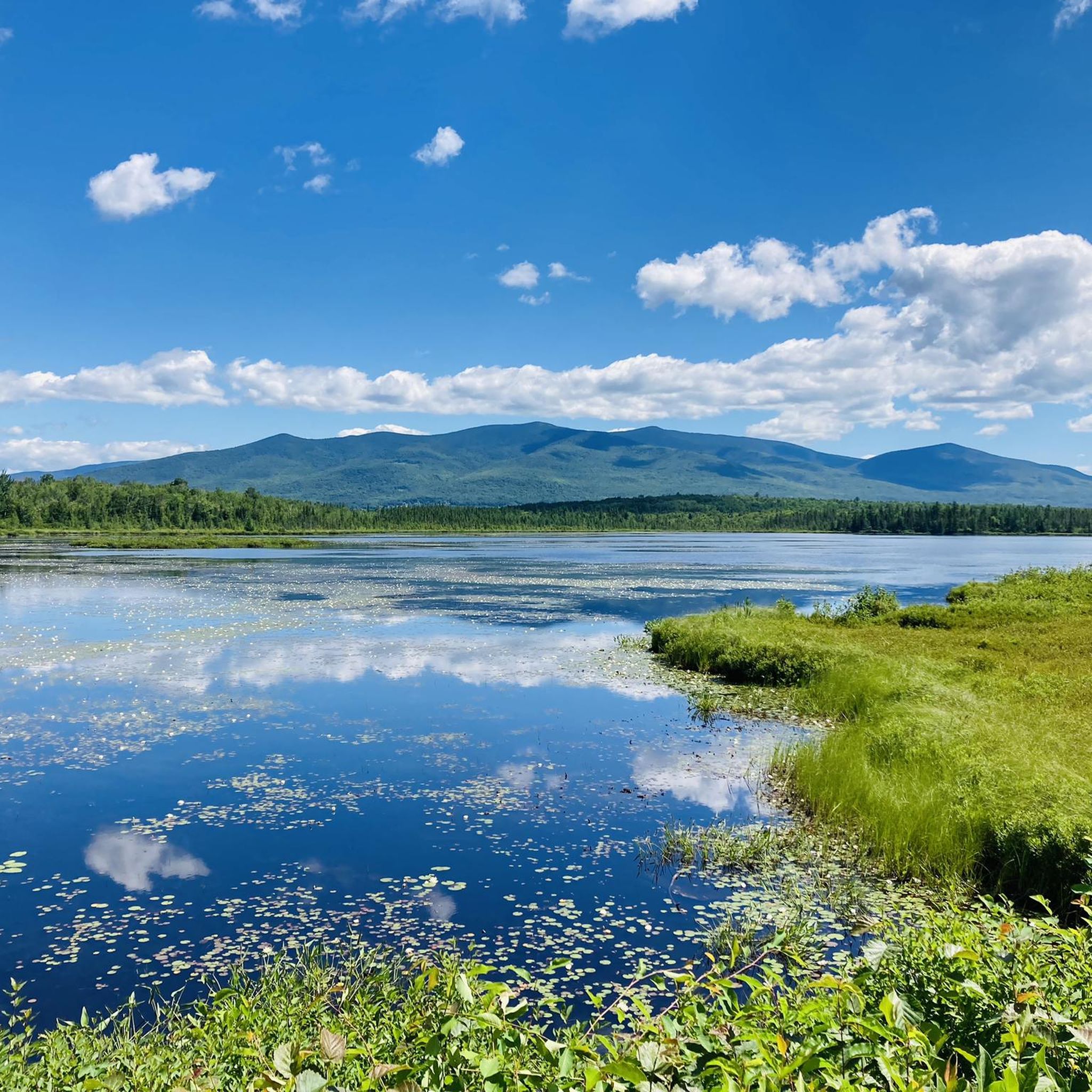
This pond is across the highway and pretty close to the climb up of Mount Washington. You can see beavers there occasionally.
0
0
Frequently Asked Questions
What are some of the most popular natural monuments to visit in Coos County?
Coos County offers a variety of popular natural monuments. Visitors often enjoy the dramatic coastal views at Cape Arago State Park, the unique sandscapes of the Oregon Dunes National Recreation Area, and the impressive waterfalls at Golden and Silver Falls State Natural Area. Each offers distinct natural beauty and opportunities for exploration.
Are there family-friendly natural monuments in Coos County?
Yes, several natural monuments in Coos County are great for families. Golden and Silver Falls State Natural Area features family-friendly hiking trails to impressive waterfalls. The South Slough National Estuarine Research Reserve has an educational visitor center and trails suitable for various ages. Sunset Bay State Park also offers a scenic and accessible environment for family outings.
What kind of unique natural features can I expect to see in Coos County?
Coos County is known for its diverse natural features. You can explore the largest expanse of coastal sand dunes in North America at the Oregon Dunes National Recreation Area, witness towering waterfalls over 200 feet tall at Golden and Silver Falls State Natural Area, and observe rich tidal wetlands and estuaries at the South Slough National Estuarine Research Reserve. The dramatic coastal bluffs and tidepools at Cape Arago State Park also offer unique sights.
What outdoor activities can I do near the natural monuments in Coos County?
Near the natural monuments in Coos County, you can find various outdoor activities. For hiking, explore the trails around waterfalls or along the coast. The Oregon Dunes National Recreation Area is popular for off-highway vehicle use, hiking, and horseback riding. Coastal parks like Cape Arago and Sunset Bay are excellent for beachcombing, fishing, and wildlife viewing. You can find more detailed information on specific routes, such as waterfall hikes, road cycling routes, and MTB trails, within Coos County.
Where can I find scenic viewpoints in Coos County?
For breathtaking views, head to Cape Arago State Park, where dramatic coastal cliffs offer expansive vistas of the Pacific Ocean. Shore Acres State Park, adjacent to Cape Arago, also provides spectacular viewpoints for storm and whale watching. The Oregon Dunes National Recreation Area offers unique perspectives of vast, wind-sculpted dunes.
What is the best time to visit the natural monuments in Coos County?
The natural monuments in Coos County can be enjoyed year-round, but each season offers a different experience. Summer and early fall provide generally mild weather, ideal for hiking and exploring. Spring brings lush greenery and active wildlife. Winter offers dramatic storm watching opportunities along the coast, though some trails might be wetter. Always check local weather conditions before your visit.
Are there opportunities for wildlife viewing at these natural sites?
Absolutely. The South Slough National Estuarine Research Reserve is a prime location for observing a variety of birds, otters, and seals in their natural habitats. At Cape Arago State Park, you can scan the horizon for migrating whales and view off-shore seal and sea lion colonies at Shell Island. Many coastal areas also offer opportunities for birdwatching and spotting marine life in tidepools.
Are there any natural monuments suitable for dog walking in Coos County?
Many natural areas in Coos County are dog-friendly, but it's always best to check specific park regulations before visiting. Generally, dogs are welcome on trails and beaches in state parks as long as they are on a leash. For instance, parts of the Oregon Dunes National Recreation Area and many state park trails allow leashed dogs.
What are some less crowded natural monuments or hidden gems in Coos County?
While popular spots can attract crowds, the Golden and Silver Falls State Natural Area is often considered a hidden gem, nestled within a dense coastal forest and offering a serene ambiance away from the busiest coastal areas. Exploring the less-trafficked trails within the South Slough National Estuarine Research Reserve can also provide a more secluded experience.
Are there any natural monuments with historical significance in Coos County?
While primarily known for their natural beauty, some sites in Coos County have historical context. For example, Shore Acres State Park, originally a private estate, combines its natural coastal setting with beautifully manicured botanical gardens, offering a glimpse into the region's past alongside its natural splendor. The South Slough National Estuarine Research Reserve also has an educational visitor center that provides context on the area's ecological and human history.
What should I wear when hiking or exploring natural monuments in Coos County?
Given the diverse landscapes and coastal weather, it's advisable to dress in layers. Waterproof or water-resistant outerwear is recommended, especially for coastal areas or waterfall hikes. Sturdy, comfortable hiking shoes are essential for trails, and sun protection (hat, sunscreen) is important even on cloudy days. Be prepared for sudden weather changes, particularly along the coast.
Is there public transport available to reach natural monuments in Coos County?
Public transport options directly to many remote natural monuments in Coos County are limited. Most visitors typically reach these sites by car. However, some larger towns in Coos County may have local bus services that could get you closer to certain areas, but a personal vehicle offers the most flexibility for exploring the region's natural attractions.
Most popular routes in Coos County
Most popular attractions in Coos County

Get inspired with the komoot mobile app


Didn’t find what you were looking for?
Find even more amazing natural monuments in Coos County by checking out the top Highlights region by region:
Explore more
Extend your search for the best caves by checking out these guides of the top ones in Coos County:
