Top 15 Natural Monuments around Clayton
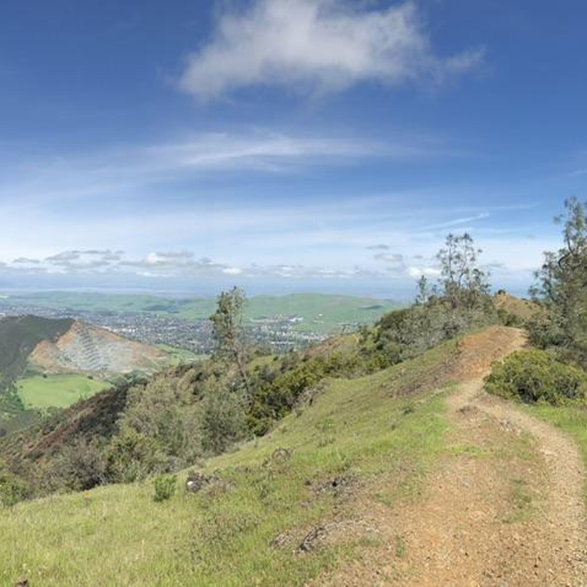
Best natural monuments around Clayton are primarily found within Mount Diablo State Park, located south of the town. This region features a diverse landscape characterized by significant elevation changes, offering panoramic views of the surrounding Bay Area. The natural monuments here include prominent peaks, unique rock formations, and extensive trail systems. The area provides opportunities to explore varied terrain and observe geological features.
Best natural monuments around Clayton
- The most popular natural monuments is Mount Diablo Summit, a summit…
Last updated: July 8, 2026
Mount Diablo Summit
Highlight • Summit
Tip by

Mitchell Canyon Visitor Center
Highlight • Rest Area
Tip by

Sign up now to discover places like this
Get recommendations on the best single tracks, peaks, & plenty of other exciting outdoor places.
Sign up for free
Eagle Peak
Highlight • Summit
Tip by

Devil's Pulpit
Highlight • Viewpoint
Tip by
Twin Peaks
Highlight • Summit
Tip by
Sign up for free to discover even more natural monuments around Clayton.
Sign up for free
Already have an account?
Start today with a free account
Your next adventure awaits.
Login or Signup
Tips from the Community

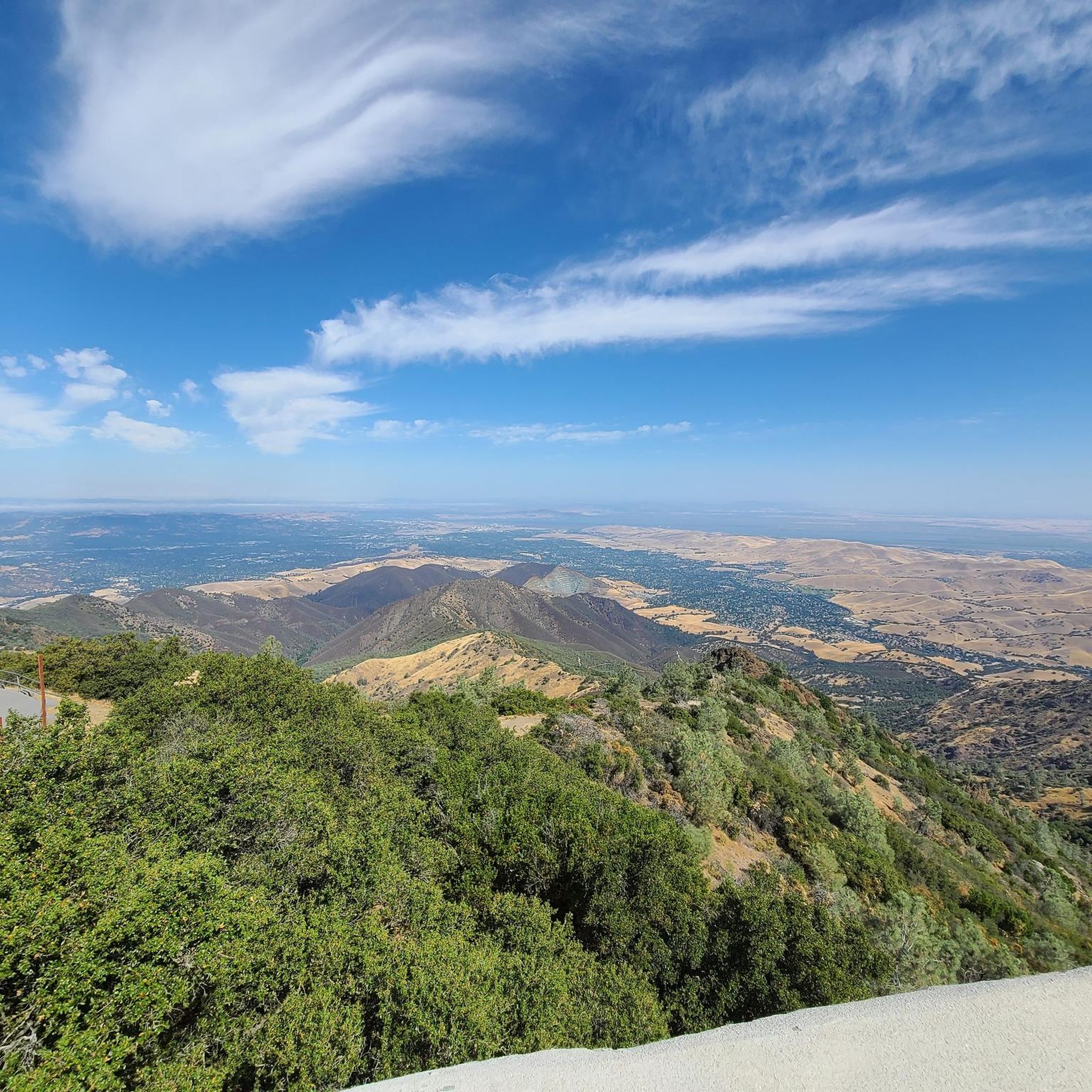
Mount Diablo, is the Bay Area second-highest peak at 1173m (3849ft). The challenging climb features constantly fluctuating gradients averaging 8%, with tough sections up to 18% and a brutal 23% finish in the last 200m. The equally demanding descent requires good bike handling due to tight corners, potholes, and strong winds. The road to the top is open daily from 8 AM till sunset.
0
0


The visitor center is staffed year-round, on the weekends, by the State Park volunteers to provide helpful information on the park's natural wonders. There are displays regarding various aspects of Mount Diablo State Park, including trails, wildlife, geology, and plant life. Gates are open from 8:00 am to sunset.
0
0

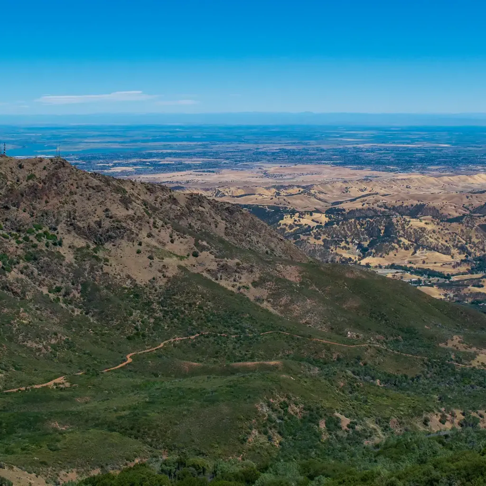
One of the fiercest peaks in the Bay. Always worth the effort. It’s often much cooler on the summit than the rest of the trails — there is a water spigot up there to fill up bottles. Also a store is open at some times. Don’t bank on it.
0
0
The visitor center is staffed year-round, on the weekends, by the State Park volunteers to provide helpful information on the park's natural wonders. There are displays regarding various aspects of Mount Diablo State Park, including trails, wildlife, geology and plant life. Gates are open from 8:00 am to sunset.
0
0

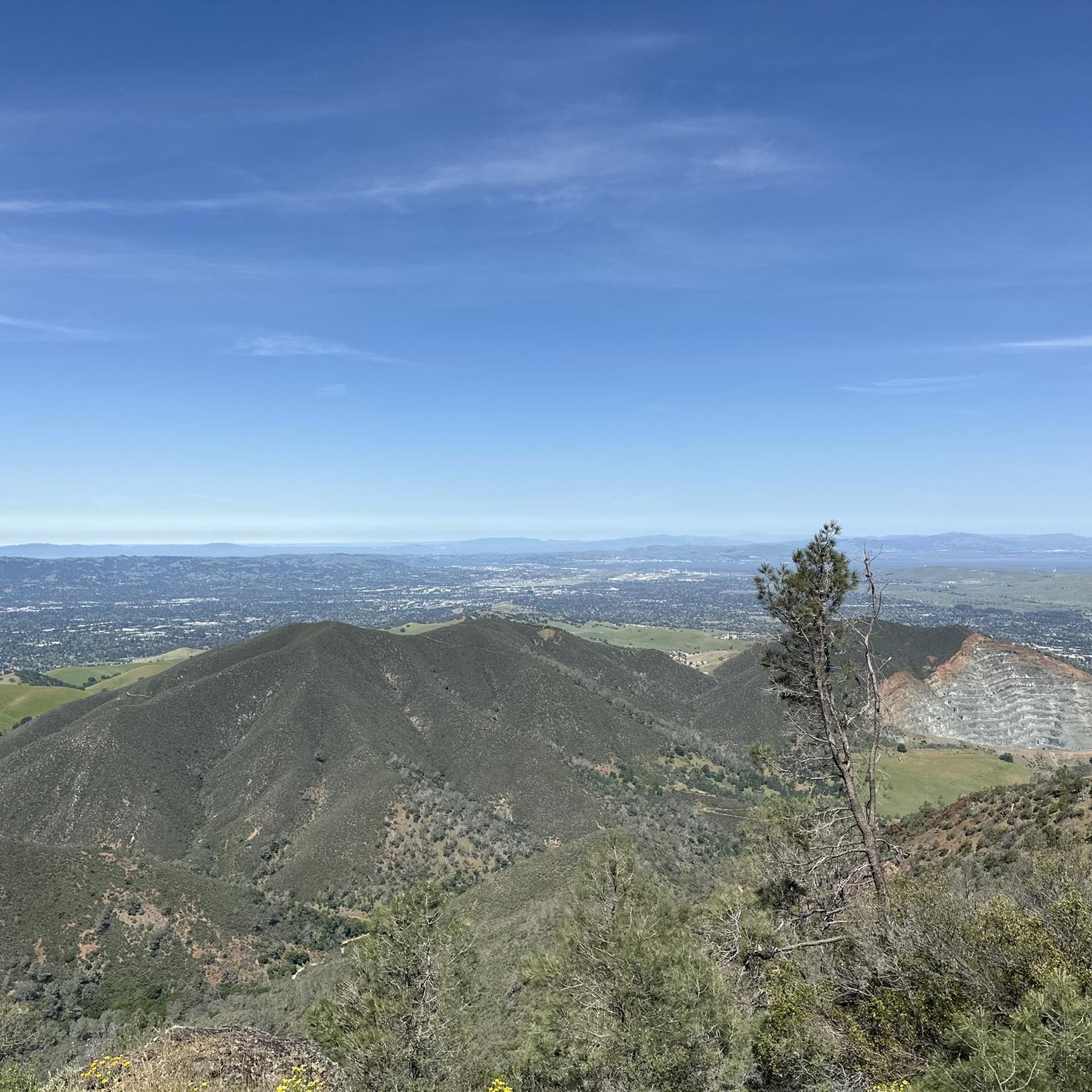
Twin Peaks in Mount Diablo State Park, not to be confused with the famous San Francisco landmarks, is a pair of prominent summits providing breathtaking vistas of the park's diverse landscapes.
0
0

Mount Diablo is 3,849 feet in elevation and is visible from most of the San Francisco Bay Area.
0
0
This is a fantastic rocky outcrop just beneath Mount Diablo's main summit. It is worth scrambling to the top to get more of the incredible views this area offers.
0
0
Frequently Asked Questions
What are the most prominent natural monuments to visit around Clayton?
The most prominent natural monuments around Clayton are primarily located within Mount Diablo State Park. These include the highest peak in San Francisco's East Bay area, Mount Diablo Summit, offering panoramic views extending to San Francisco, the Pacific Ocean, and the Sierra Nevadas. Other notable spots are Eagle Peak, providing views of the Bay Area's most visible volcano peak, and Devil's Pulpit, a rocky outcrop with incredible vistas.
Are there family-friendly natural monuments or activities near Clayton?
Yes, several natural monuments around Clayton are considered family-friendly. The Mitchell Canyon Visitor Center is a great starting point, offering information on the park's natural wonders, wildlife, geology, and plant life. While some trails can be challenging, there are also easier routes available within Mount Diablo State Park, suitable for families.
What unique geological features can be observed at the natural monuments around Clayton?
The natural monuments around Clayton are characterized by significant elevation changes and diverse landscapes within Mount Diablo State Park. You can observe prominent peaks like Mount Diablo Summit and Eagle Peak, which is described as the Bay Area's most visible volcano peak. Unique rock formations, such as Devil's Pulpit, also offer striking geological interest.
What outdoor activities can I do near these natural monuments?
The area around Clayton's natural monuments offers a variety of outdoor activities. You can find numerous hiking trails, including easy options like the Ohlone Trail to Buckeye Loop, or more challenging routes such as Mitchell Canyon and Eagle Peak Loop. For road cycling, routes like the Morgan Territory Road Loop are available. You can explore more options for road cycling, running, and easy hikes.
Are there hiking trails near the natural monuments around Clayton?
Yes, there are extensive hiking trails near the natural monuments around Clayton, primarily within Mount Diablo State Park. Options range from easy trails like the Juniper and Summit Trail Loop (6 km) to more difficult ones such as the Mitchell Canyon and Eagle Peak Loop (12.8 km). For a comprehensive list of trails, refer to the easy hikes and running trails guides for the area.
What kind of views can I expect from the natural monuments?
From the natural monuments around Clayton, you can expect breathtaking panoramic views. From Mount Diablo Summit, on clear days, views extend to San Francisco, the Pacific Ocean, and the distant Sierra Nevadas. Eagle Peak offers great views of the Bay Area's most visible volcano peak and the surrounding areas, while Twin Peaks provides stunning vistas of the park's diverse landscapes.
Where can I find visitor information and facilities near the natural monuments?
The Mitchell Canyon Visitor Center serves as a key facility near the natural monuments. It is staffed on weekends by State Park volunteers who provide helpful information on the park's natural wonders, including trails, wildlife, geology, and plant life. The center also offers parking.
What do visitors enjoy most about the natural monuments around Clayton?
Visitors frequently highlight the incredible views and the sense of accomplishment from reaching the summits. The panoramic vistas from Mount Diablo Summit, extending to the Pacific Ocean and Sierra Nevadas, are particularly appreciated. The challenging yet rewarding hikes to spots like Devil's Pulpit are also popular for their unique perspectives.
Are there any natural monuments that are easy to access by car?
Yes, Mount Diablo Summit is accessible by car, allowing visitors to enjoy the extensive views without a strenuous hike. The Mitchell Canyon Visitor Center also provides convenient parking facilities.
Can I find information about the local wildlife and plant life at the natural monuments?
Yes, the Mitchell Canyon Visitor Center offers displays and information regarding various aspects of Mount Diablo State Park, including its wildlife, geology, and plant life. This is an excellent resource for learning about the local ecosystem.
What is the elevation of the highest natural monument near Clayton?
The highest natural monument near Clayton is Mount Diablo Summit, which has an elevation of 3,849 feet (1,173 meters). It is the highest peak in San Francisco's East Bay area.
Are there any challenging climbs or scrambles at the natural monuments?
Yes, for those seeking a challenge, Devil's Pulpit offers a fantastic rocky outcrop just beneath Mount Diablo's main summit, which is worth scrambling to the top for more incredible views. Many of the trails leading to summits like Mount Diablo Summit also involve significant climbs.
Most popular attractions around Clayton

Get inspired with the komoot mobile app


Explore more
Extend your search for the best caves by checking out these guides of the top ones around Clayton:
