The 13 Most Amazing Peaks around Kölliken
Mountain peaks around Kölliken are situated within the Zofingen district of the Aargau canton in Switzerland. Kölliken, at an elevation of 430 meters, serves as a base for exploring the surrounding forested and agricultural landscapes. The region offers several elevated points and hills popular for hiking and scenic views. These locations provide accessible paths suitable for various fitness levels, with hiking routes leading to scenic outlooks.
Best mountain peaks around Kölliken
- The most popular mountain peaks is Wasserflue, a…
Last updated: July 7, 2026
Wasserflue
Highlight • Summit
Translated by Google •
Tip by

Geissflue
Highlight • Viewpoint
Translated by Google •
Tip by

Sign up now to discover places like this
Get recommendations on the best single tracks, peaks, & plenty of other exciting outdoor places.
Sign up for free
Geissfluhgrat — Highest point in the Canton of Aargau
Highlight • Summit
Unfortunately, from here you do not have the brilliant view as from the Geissflue.
Translated by Google •
Tip by
Biberstein
Highlight • Settlement
Translated by Google •
Tip by
Benkerjoch Pass
Highlight • Mountain Pass
Translated by Google •
Tip by

Sign up for free to discover even more peaks around Kölliken.
Sign up for free
Already have an account?
Start today with a free account
Your next adventure awaits.
Login or Signup
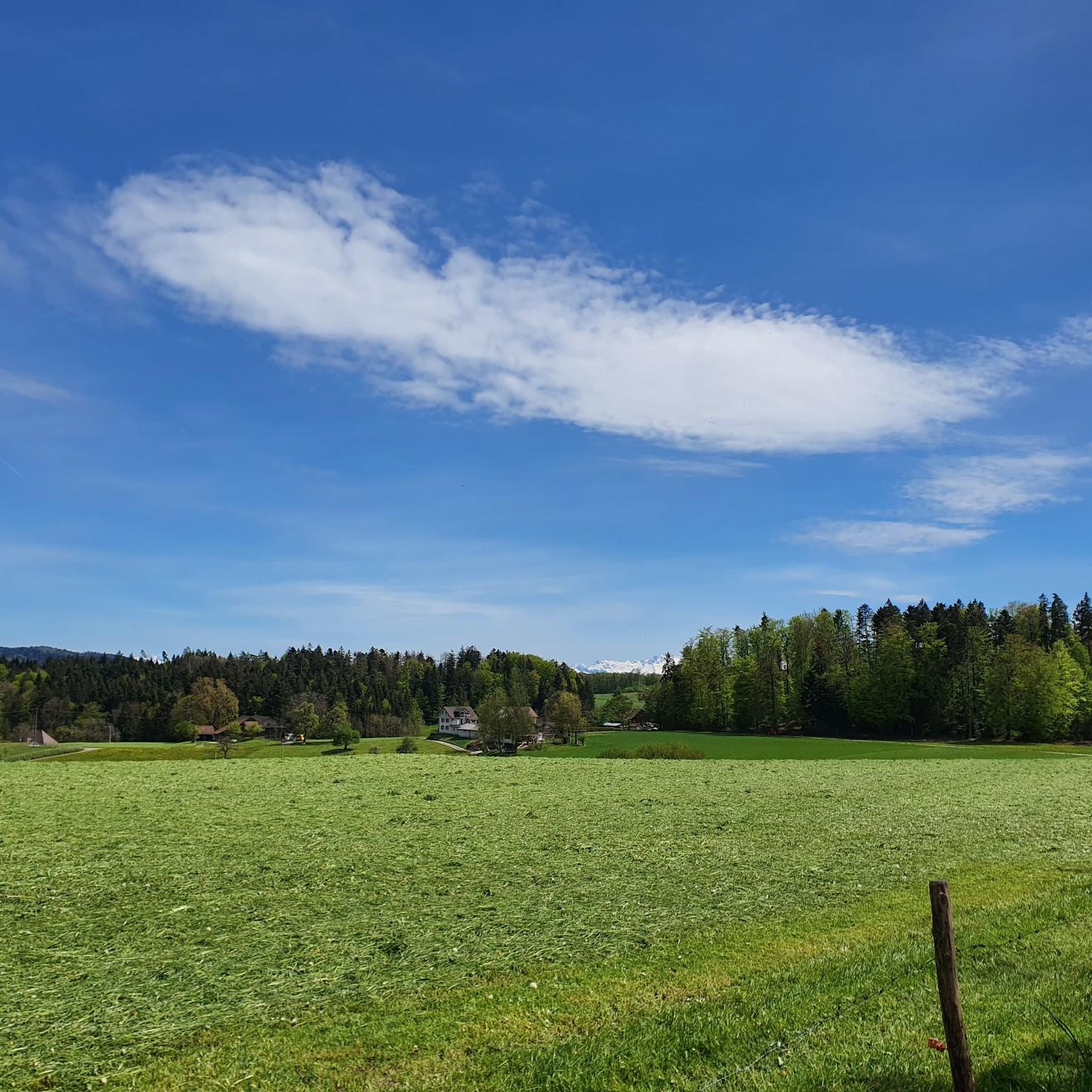
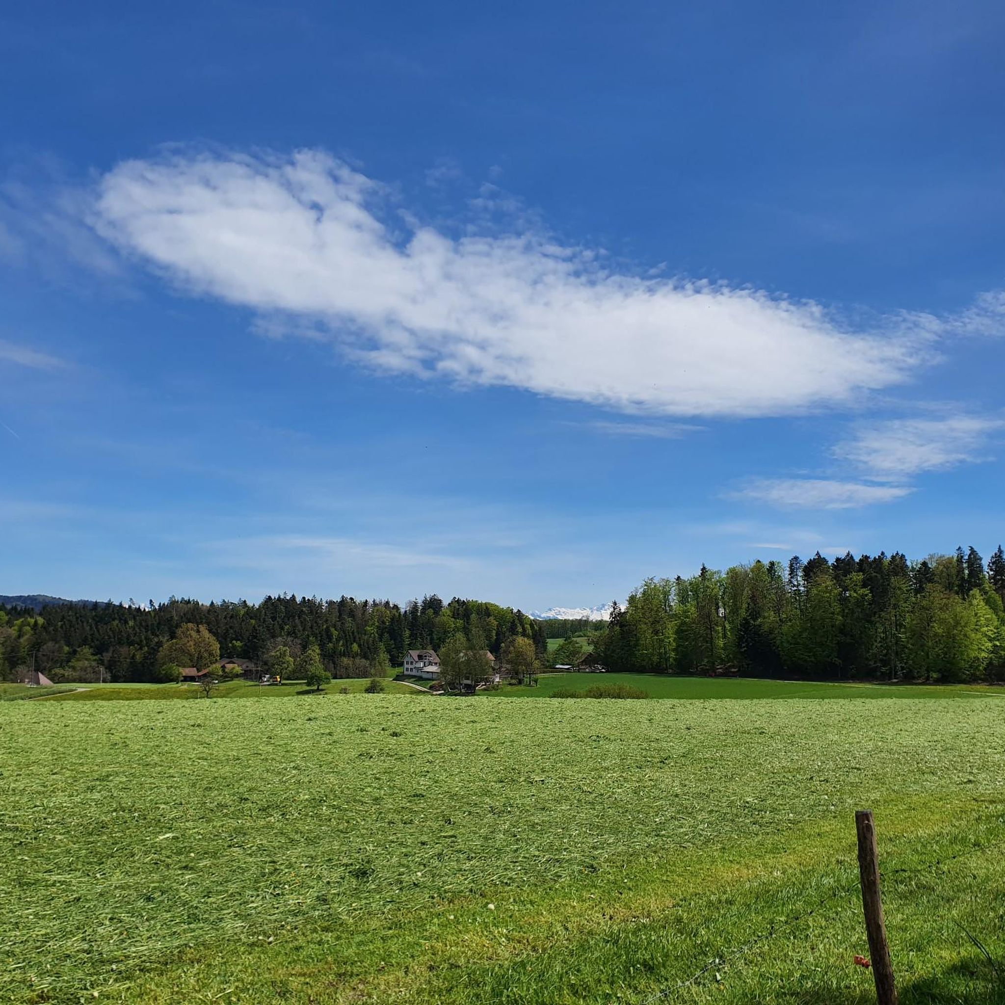
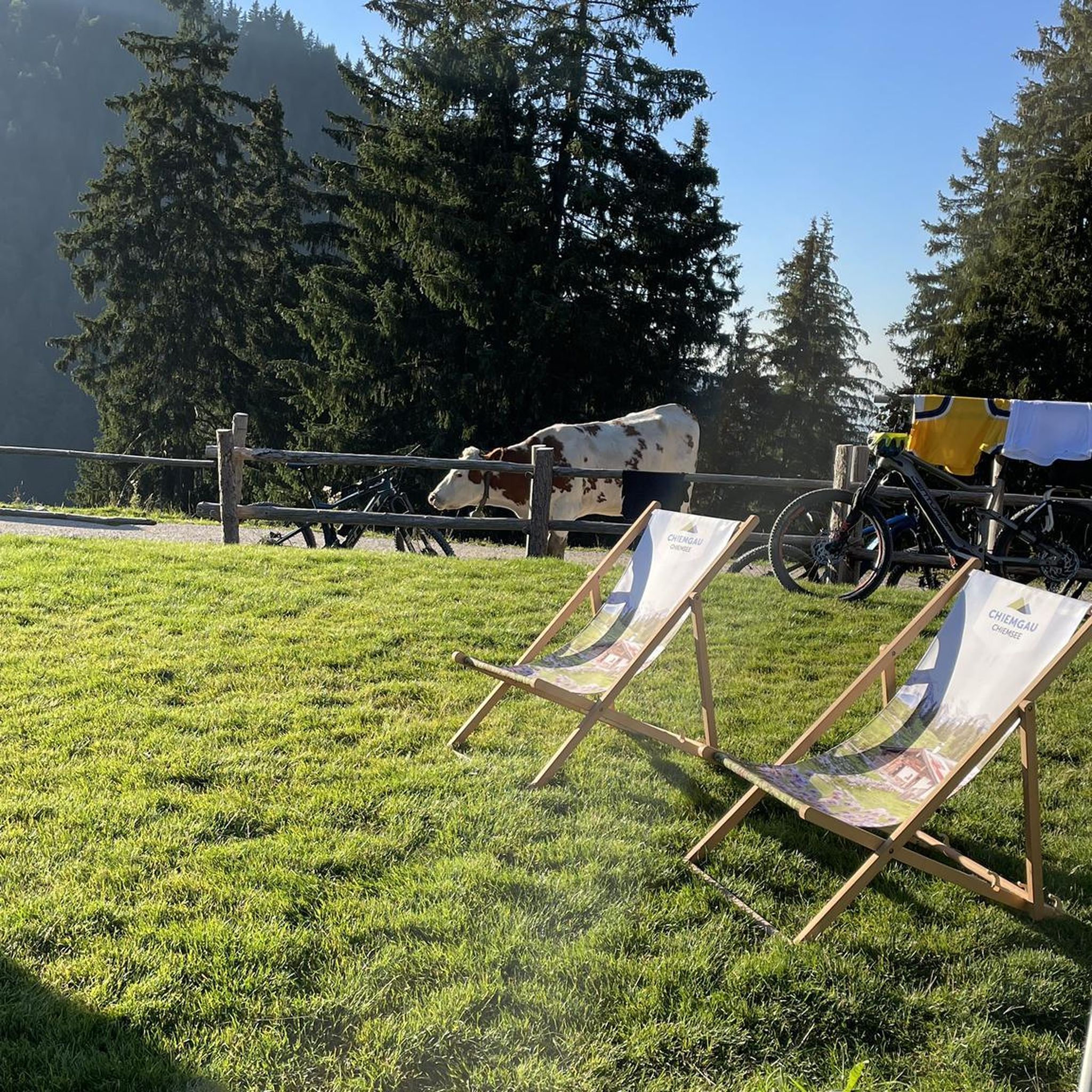
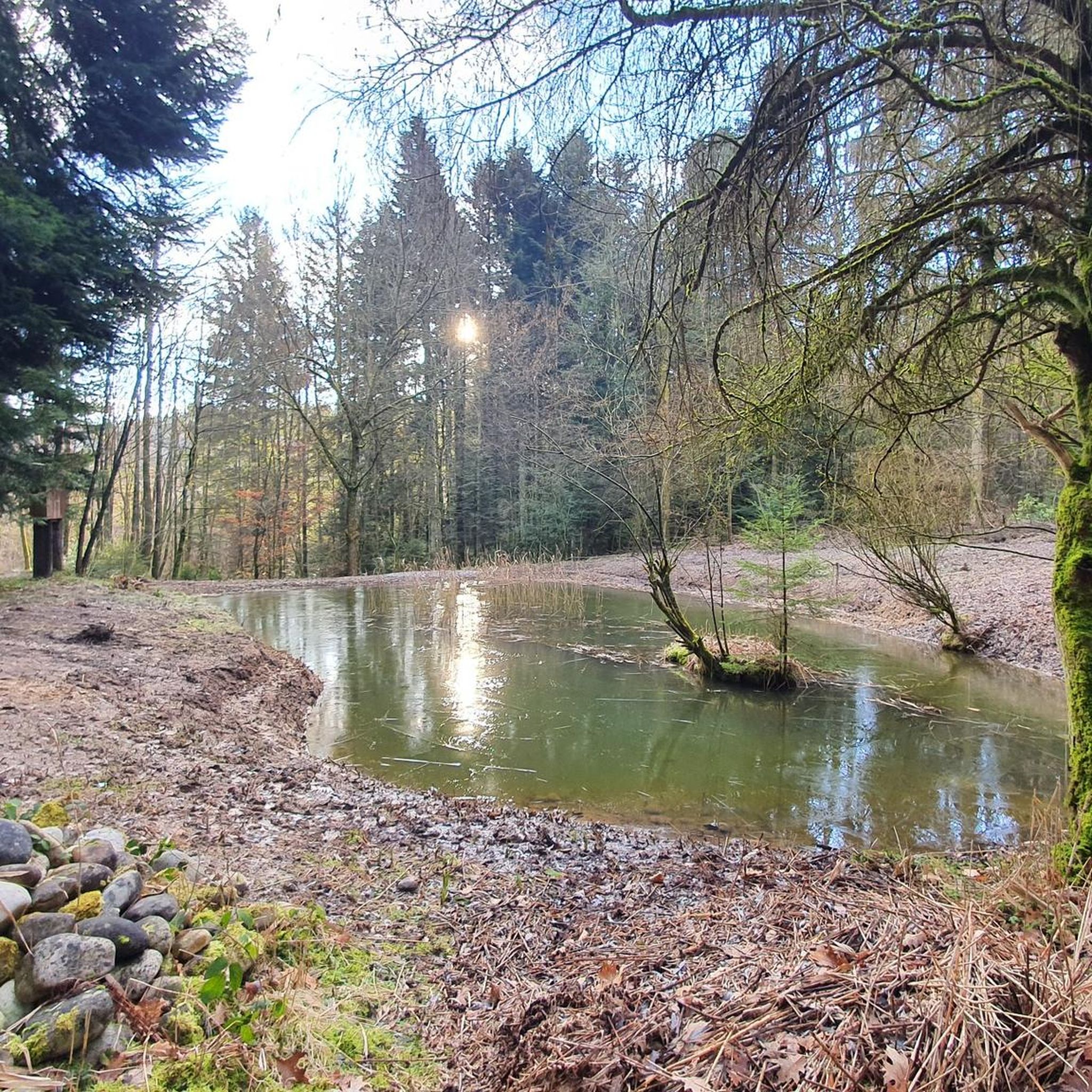
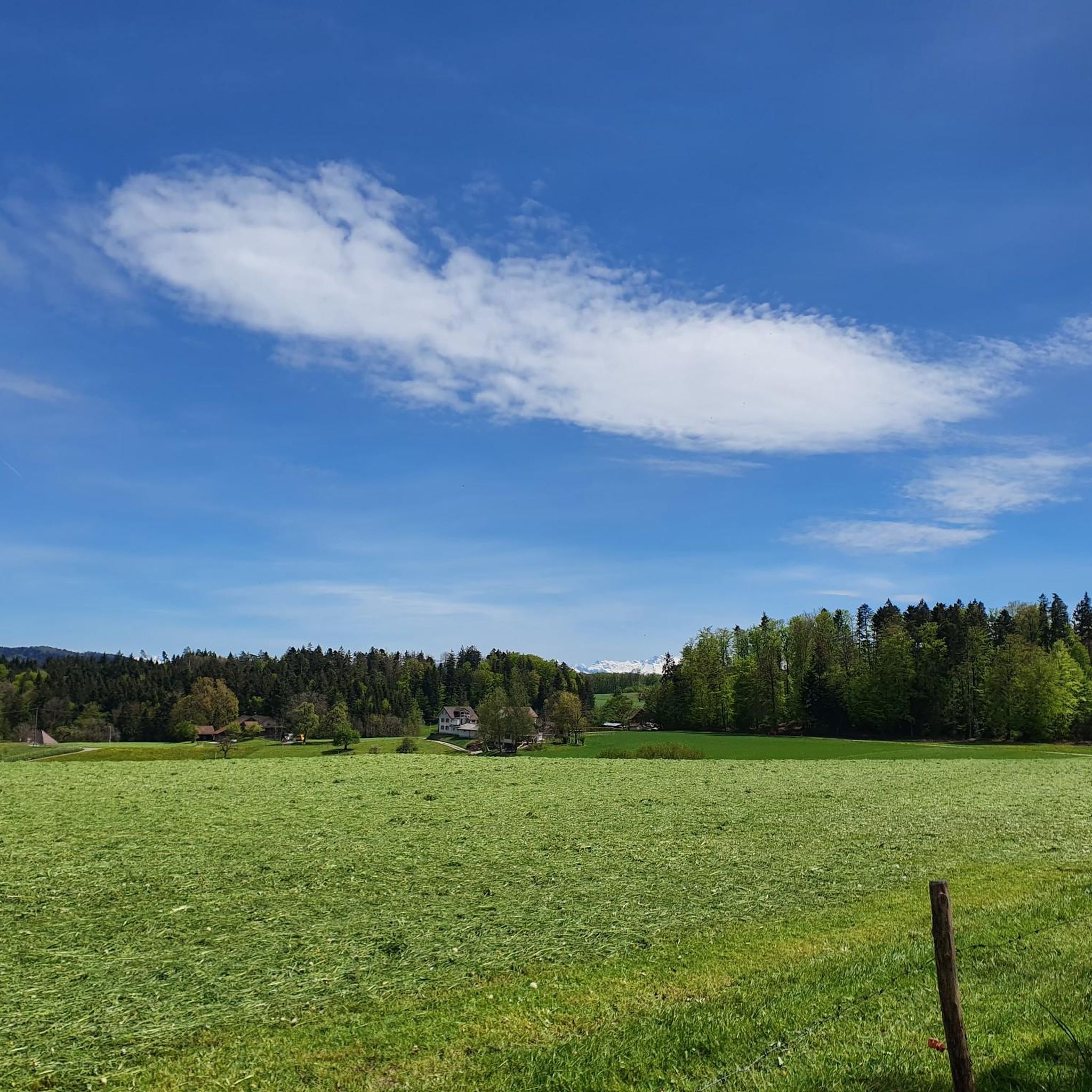
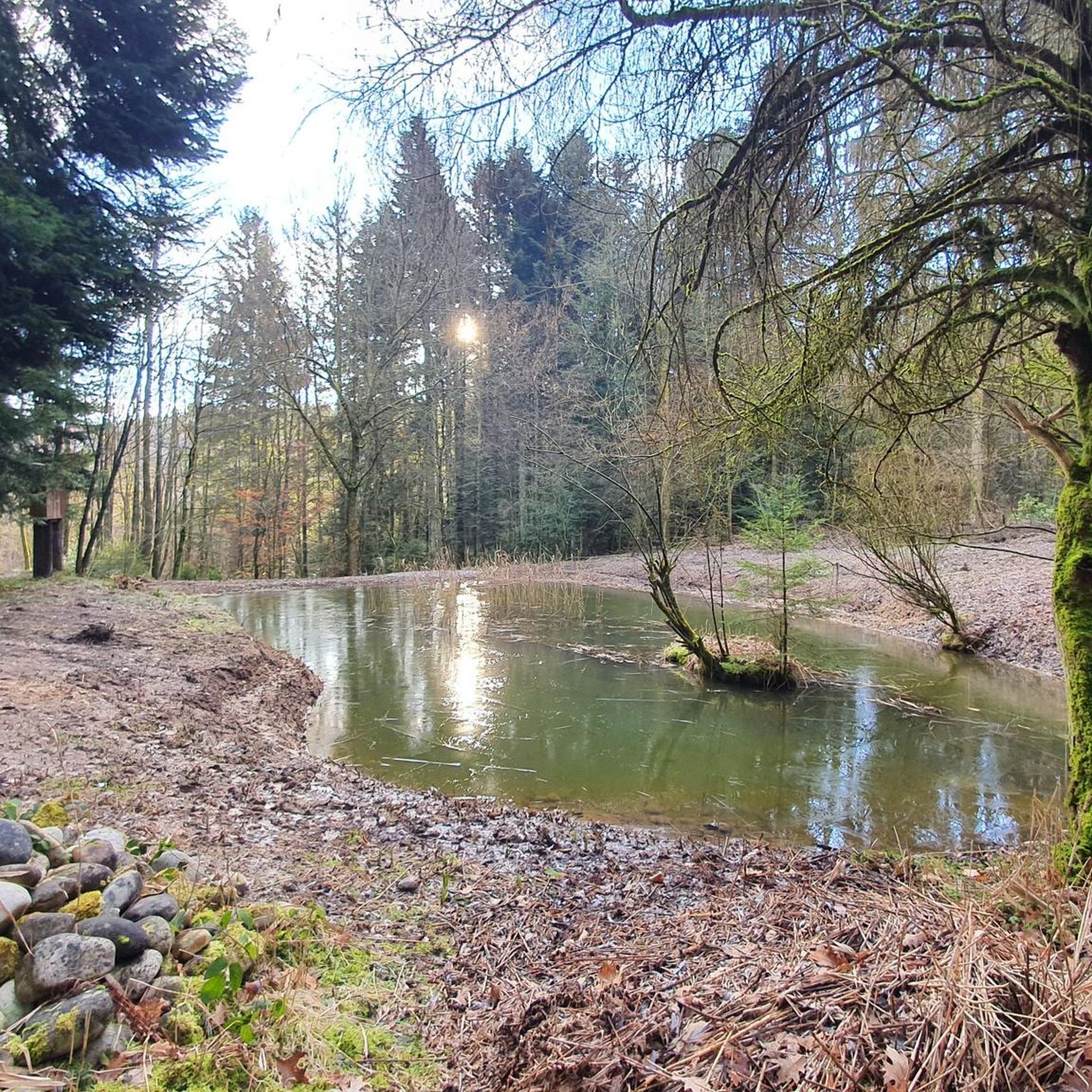
Tips from the Community

This pass in the canton of Aargau connects Aarau and Frick. Thanks to the parallel Staffelegg, which takes most of the traffic, this pass has relatively little traffic. Located just below the Wasserflue mountain (866 m), there are many hiking opportunities.
2
0

My chicco felt big on the Top of Aargau ;-)
4
0

A transition between the cantons with a wonderful view to the north.
3
0
rather amusing. The Solothurn begins 200m further on, where the path climbs again sharply.
5
0
The climb is worth it, the path is a bit exposed. But you can see the valley and feel the remains of the original Jura
5
0

Super nice parking lot 24h free... right next door is a very nice barbecue area
3
0


By buying basic groceries in the castle shop, you support the Biberstein Castle Foundation.
3
0
Frequently Asked Questions
What are some prominent peaks and viewpoints to explore near Kölliken?
While Kölliken itself is at 430 meters, the surrounding Zofingen district and wider Aargau canton offer several notable elevated points. You can visit Wasserflue for panoramic views of the Swiss Alps and the Black Forest, or the Geissflue viewpoint, which offers extensive vistas over the Basel region, Alsace, and the Black Forest. Other significant elevations in the Zofingen district include Känzeli (692 m), Homberg (671 m), and Säli (664 m).
Where is the highest point in the Aargau canton located near Kölliken?
The highest point in the entire Aargau canton is the Geissfluhgrat, reaching 908 meters above sea level. It's a notable destination for those seeking the highest elevations in the region, located near the Salhöhe pass.
Are there family-friendly options for exploring mountain peaks around Kölliken?
Yes, several areas around Kölliken are suitable for families. The Benkerjoch Pass is noted as family-friendly, offering trails and views. The general elevated areas near Kölliken provide accessible paths suitable for various fitness levels, making them good for family outings.
What kind of hiking trails are available near the mountain peaks around Kölliken?
The region around Kölliken offers a variety of hiking trails, ranging from easy to moderate. For example, you can find routes like the 'Rest Stop Zum Wandersmann loop' or the 'Hiking loop from Kölliken' which are considered easy. More moderate options include the 'Gretzenbach Forest Lodge – Roggenhausen Wildlife Park loop'. You can find more details and routes on the Hiking around Kölliken guide.
Besides hiking, what other outdoor activities can I do near Kölliken's peaks?
Beyond hiking, the area around Kölliken is excellent for cycling. You can explore various mountain biking trails, such as the 'Wald Trail Solothurn – View of Safenwil and the Alps loop', or gravel biking routes like the 'Path along the Suhre – Suhre Valley Cycle Path loop'. For more information, check out the MTB Trails around Kölliken guide and the Gravel biking around Kölliken guide.
When is the best time of year to visit the mountain peaks around Kölliken?
The elevated areas near Kölliken are generally accessible throughout much of the year. Views from places like Wasserflue are particularly impressive in foggy conditions or with snow in winter, offering a unique experience. Spring, summer, and autumn provide pleasant conditions for hiking and enjoying the forested and agricultural landscapes.
What kind of views can I expect from the peaks around Kölliken?
From various peaks and viewpoints, you can expect expansive panoramic views. For instance, Wasserflue offers views of the Swiss Alps and the Black Forest. The Geissflue provides vistas over the Basel region, Alsace, and the Black Forest. Even the more modest elevations in the Zofingen district offer rewarding perspectives of the surrounding countryside.
Are there any historical or cultural sites near the peaks around Kölliken?
Yes, the region offers some historical interest. For example, Biberstein is home to Biberstein Castle, a reconstructed medieval castle that now serves as a residential and working home for adults with disabilities. The village itself is noted for its intact old village center of national importance.
Are the hiking trails around Kölliken's peaks dog-friendly?
Many of the natural trails and paths in the forested and agricultural landscapes around Kölliken are suitable for dogs. It's always recommended to keep dogs on a leash, especially in nature reserves or near livestock, and to check local regulations for specific trails.
What do visitors particularly enjoy about the mountain peaks around Kölliken?
Visitors appreciate the diverse views and accessible nature of the peaks. Many enjoy the panoramic vistas from spots like Wasserflue and Geissflue. The highest point in the canton, Geissfluhgrat, is a popular goal for those looking to reach a significant regional landmark. The komoot community has shared over 380 photos and given more than 370 upvotes, highlighting the area's appeal.
How can I reach the mountain peaks around Kölliken by public transport?
Public transport options are available to access areas near the peaks. For instance, the Benkerjoch Pass is served by a postbus from Frick to Aarau. For Geissflue, you can reach it from the Naturfreundehaus Schafmatt or from the Barmelweid (bus stop). Many trails are also accessible from various villages that have bus connections.
Are there places to eat or stay near the mountain peaks around Kölliken?
While Kölliken itself offers amenities, the surrounding villages and towns near the elevated points also provide options for refreshments and accommodation. Many hiking routes lead to or pass by places where you can find cafes, pubs, or restaurants to relax after your outdoor activity. For example, the Wasserflue is often a break point before continuing to Froburg, which may offer facilities.
Most popular routes around Kölliken
Most popular attractions around Kölliken

Get inspired with the komoot mobile app


Explore more
See even more amazing summits around Kölliken with these guides:
