Top 11 Natural Monuments around Aveiras De Cima
Best natural monuments around Aveiras De Cima are situated in a region known for its diverse natural landscapes. Located within the municipality of Azambuja, the area features significant wetland ecosystems and protected mountain ranges. These natural settings offer opportunities to experience Portugal's varied flora, fauna, and geological formations. The vicinity provides access to areas recognized for their biodiversity and geological heritage.
Best natural monuments around Aveiras De Cima
- The most popular natural monuments is Serra de Montejunto Watchtower, a…
Last updated: July 13, 2026
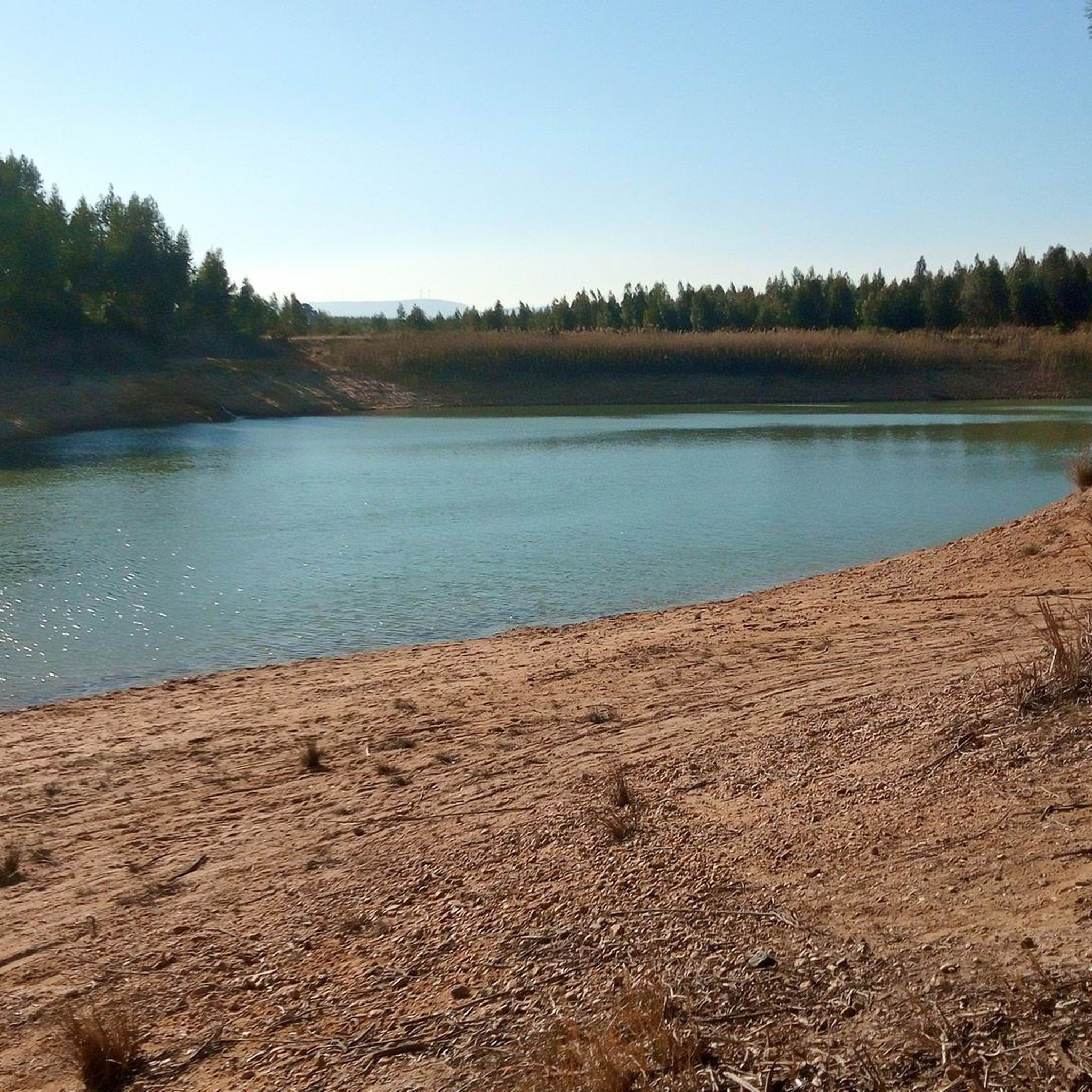
Paúl de Manique do Intendente.
Highlight • Lake
Translated by Google •
Tip by

Serra de Montejunto Watchtower
Highlight • Viewpoint
Translated by Google •
Tip by

Sign up now to discover places like this
Get recommendations on the best single tracks, peaks, & plenty of other exciting outdoor places.
Sign up for free
Gravel Bend
Highlight • Natural Monument
Translated by Google •
Tip by
Ota River
Highlight • River
Translated by Google •
Tip by
Montejunto - Squirrel Trail
Highlight (Segment) • Trail
Translated by Google •
Tip by
Sign up for free to discover even more natural monuments around Aveiras De Cima.
Sign up for free
Already have an account?
Start today with a free account
Your next adventure awaits.
Login or Signup

Tips from the Community

The area of the springs, on the Ota River, was once a leisure area for the local population, including the local bathing area in the summer. This site remained natural for a long time after the EPAL was installed, but at a certain point, the intensification of agriculture with the use of chemical fertilizers and pesticides, intensive livestock farming, and urban sewage made the flow from upstream a polluting threat to EPAL's water intakes, and EPAL paved several dozen meters of the river course near the site where it is installed with reinforced concrete.
1
0

The Ota River has its source in the Montejunto mountain range. It flows through the Ota area and empties into the Alenquer River, which in turn meets the Tagus River near Vila Nova da Rainha. At this point the river is close to the village of the same name, Ota.
1
0
The Serra de Montejunto Forest Watch Station can be accessed via a pastoral trail from the picnic park. It offers a beautiful panorama of the region north of the Serra.
3
0
I mentioned that on my previous suggestion for this place. There is an alternative to the blackberry vines: a little before you start to find them, turn left to a little footpath that goes between the trees, it is sloping and can be slippery in winter.
2
0

This trail was great fun, but unfortunately blackberry vines have joined the ferns near the end and made the passing a bit complicated.
3
0
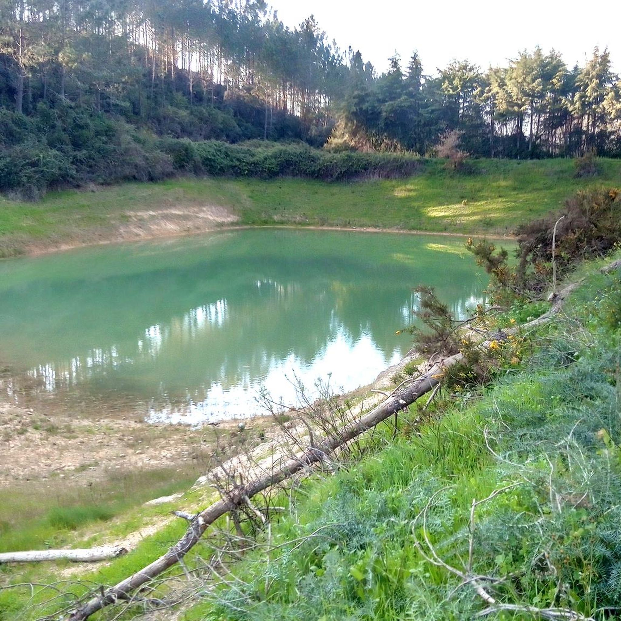
The karst landscape of Montejunto constitutes the extreme southwest of the Estremenho Limestone Massif. Deep valleys, lakes, gravel pits and lapiás are some of the formations found here, testimonies of various geological eras. Water has been the protagonist in erosion phenomena over time. Several deposits of gravel pits result from the cracking of the outcrops caused by the expansion of the water which, when freezing, breaks the rock into small parts. Source: https://montejunto.pt/natureza/paisagens/
3
0
Small trail that goes through the stunning vegetation that surrounds it. At the end, the trail seems to have no way out, carefully pass between the ferns that are probably taller than you and that block visibility. Visit and respect and Nature.
3
0
“Paul Natura”, Manique do Intendente https://www.youtube.com/watch?v=9nKhlLvOrJw
3
0
Frequently Asked Questions
What unique natural features can I explore around Aveiras de Cima?
The region offers diverse natural features. You can discover the rich wetland ecosystem of Paúl de Manique do Intendente, known for its biodiversity and birdwatching opportunities. Additionally, the Serra de Montejunto features a distinctive karst landscape with deep valleys, lakes, gravel pits, and lapiás, visible at sites like Gravel Bend.
What kind of wildlife can I expect to see in the natural monuments near Aveiras de Cima?
The Paúl de Manique do Intendente wetland is home to over 180 species, including unique examples like the striped turtle, common caiman, otter, and black stork. The Serra de Montejunto Protected Landscape is also significant for its avifauna, with approximately 75 bird species, including 10 endangered ones like Bonelli's eagle, and hosts an important national bat roost.
Are there good viewpoints to enjoy panoramic scenery?
Yes, the Serra de Montejunto Watchtower offers a beautiful panorama of the region north of the Serra. The Serra de Montejunto itself is the highest natural viewpoint in Estremadura, reaching an altitude of 666 meters, providing breathtaking views.
What hiking trails are available near the natural monuments?
You'll find a variety of hiking trails. For example, the Montejunto - Squirrel Trail offers a walk through stunning vegetation. For more options, you can explore guides like Hiking around Aveiras De Cima, which includes routes like the 'Route of the Windmills' and 'Trilho da Quinta da Serra'.
Are there any family-friendly natural monuments in the area?
Yes, Paúl de Manique do Intendente is considered family-friendly. It has infrastructure for observing fauna and flora, making it an engaging place for all ages to learn about biodiversity and enjoy nature.
What is the best time of year to visit the natural monuments around Aveiras de Cima?
While specific seasonal tips aren't provided, generally, spring and autumn offer pleasant temperatures for exploring the wetlands and mountain landscapes, ideal for birdwatching and hiking. Summer can be warm, but still suitable for early morning or late afternoon visits. Winter offers a different perspective, especially for migratory birds in the wetlands.
Can I find easy walking routes near these natural monuments?
Absolutely. There are easy hikes available, such as the 'Ota Karstic Canyon Trail' and loops around the Paisagem Protegida da Serra de Montejunto. You can find more details and routes in the Easy hikes around Aveiras De Cima guide.
What other outdoor activities can I do in the vicinity of these natural monuments?
Beyond hiking, the region is popular for mountain biking. You can find various MTB trails, including challenging routes like 'Moinho de Avis – Chapel of Saint George loop' or moderate ones like 'Chapel of Saint George – Meia Encosta Trail loop'. Explore these options in the MTB Trails around Aveiras De Cima guide.
What is the significance of the Ota River?
The Ota River rises in the Montejunto mountain range and is notable for its 'Cannon' of the Ota river valley, which presents geomorphological characteristics of national relevance. Historically, the area of its springs was a leisure and bathing spot for the local population.
Are there any geological points of interest?
Yes, the Serra de Montejunto is part of the Estremenho Limestone Massif, characterized by a wealth of caves, chasms, and prehistoric fossils. The Gravel Bend specifically showcases the karst landscape with deep valleys, lakes, gravel pits, and lapiás, which are formations resulting from various geological eras.
What do visitors particularly enjoy about the natural monuments here?
Visitors appreciate the diverse ecosystems, from the rich wetlands ideal for birdwatching to the panoramic views from the Serra de Montejunto. The opportunity to observe unique flora and fauna, explore geological formations, and engage in various outdoor activities like hiking and mountain biking are frequently highlighted.
Most popular attractions around Aveiras De Cima

Get inspired with the komoot mobile app


Explore more
Extend your search for the best caves by checking out these guides of the top ones around Aveiras De Cima:
