Top 3 Natural Monuments in Wiesener Forst
Best natural monuments in Wiesener Forst are found within the Spessart region, offering a diverse natural landscape. This area features significant natural attractions, including the Wiesbüttmoor, a designated nature reserve, and the Erkelshöhe mountain. Visitors can explore unique ecosystems and prominent geographical features. The region provides opportunities to experience varied terrain and natural landmarks.
Best natural monuments in Wiesener Forst
- The most popular natural monuments is Dr. Karl Kihn-Platz Rest Area, a hut that serves as a historic traffic…
Last updated: July 14, 2026
Dr. Karl Kihn Square
Highlight • Mountain Hut
Dr. Karl Kihn was a general practitioner who, as a student …
Showing Translation
Tip by

Kahl Springs
Highlight • River
Translated by Google •
Tip by

Sign up now to discover places like this
Get recommendations on the best single tracks, peaks, & plenty of other exciting outdoor places.
Sign up for free
Erkelshöhe – Highest Point of Wiesen
Highlight • Summit
Translated by Google •
Tip by

Border Trail Wiesbütt-Sailhöhe
Highlight (Segment) • Lake
Translated by Google •
Tip by

Marian Grotto in the Spessart Nature Park
Highlight • Religious Site
Translated by Google •
Tip by
Sign up for free to discover even more natural monuments in Wiesener Forst.
Sign up for free
Already have an account?
Start today with a free account
Your next adventure awaits.
Login or Signup
Other adventures in Wiesener Forst

Tips from the Community

Lake Wiesbütt (formerly Lake Hanauer See) is a forest lake in the Main-Kinzig district of Hesse, in the Spessart region. Lake Wiesbütt is located in the municipality of Flörsbach in the municipality of Flörsbachtal, directly on the state border with Bavaria. The Bavarian/Hessian border runs along the western shore, at the foot of the dam. To the west lies the unincorporated area of Wiesener Forst in the Bavarian district of Aschaffenburg. To the north lies the Spessart High Road (L 2905) and the two old trade routes: Birkenhainer Straße and Eselsweg. To the southwest lies the village of Wiesen in Lower Franconia, to the southeast Mosborn, a district of the municipality of Flörsbachtal, and to the north Bieber, a district of the municipality of Biebergemünd. The artificial lake, created for energy generation and ventilation of the Bieber mines, is now located on the edge of the Wiesbüttmoor nature reserve. The lake has no surface inlet; it is fed underground from the Wiesbüttmoor. A natural overflow drains the water into the Aubachtal valley via the Wiesbüttgraben. The Wiesbüttsee, with its diverse flora, some of which is already threatened with extinction, is part of one of the last raised bogs in Germany. It was created in 1765 by Bieber miners according to plans by mining master Johann Philipp Cancrinus to ventilate and drain the Lochborntalgrund silver, copper, and lead mine tunnels in the summer. It was also intended to provide sufficient water for the Bieber ironworks and the hammer mill. Due to the exceptional ore deposits in the area around Bieber, extensive mining was carried out during this period. The Wiesbüttsee served as a water source for the hydropowered mining machines used to drain and ventilate the tunnels. The water power powered the conveyor system of the ironworks in the Lochhütte until 1925. The former customs house (later a restaurant) commemorates the Bavarian border that was once controlled here. Source: https://de.wikipedia.org/wiki/Wiesbüttsee
1
0

Unfortunately, it is quite cluttered with all kinds of building materials and junk… What a pity
12
0

The reasonably attentive hiker/walker will not miss this small sacred monument: A small, artificially created grotto contains a statue of the Mother of God. "The veneration of the Virgin Mary in its various forms is part of Catholic piety. It is impossible to imagine the life of the Church without the rosary, without the Marian month of May, without the Marian festivals and without the numerous depictions of the Virgin Mary." (Julius Cardinal Döpfner, * 1913 + 1976)
6
1

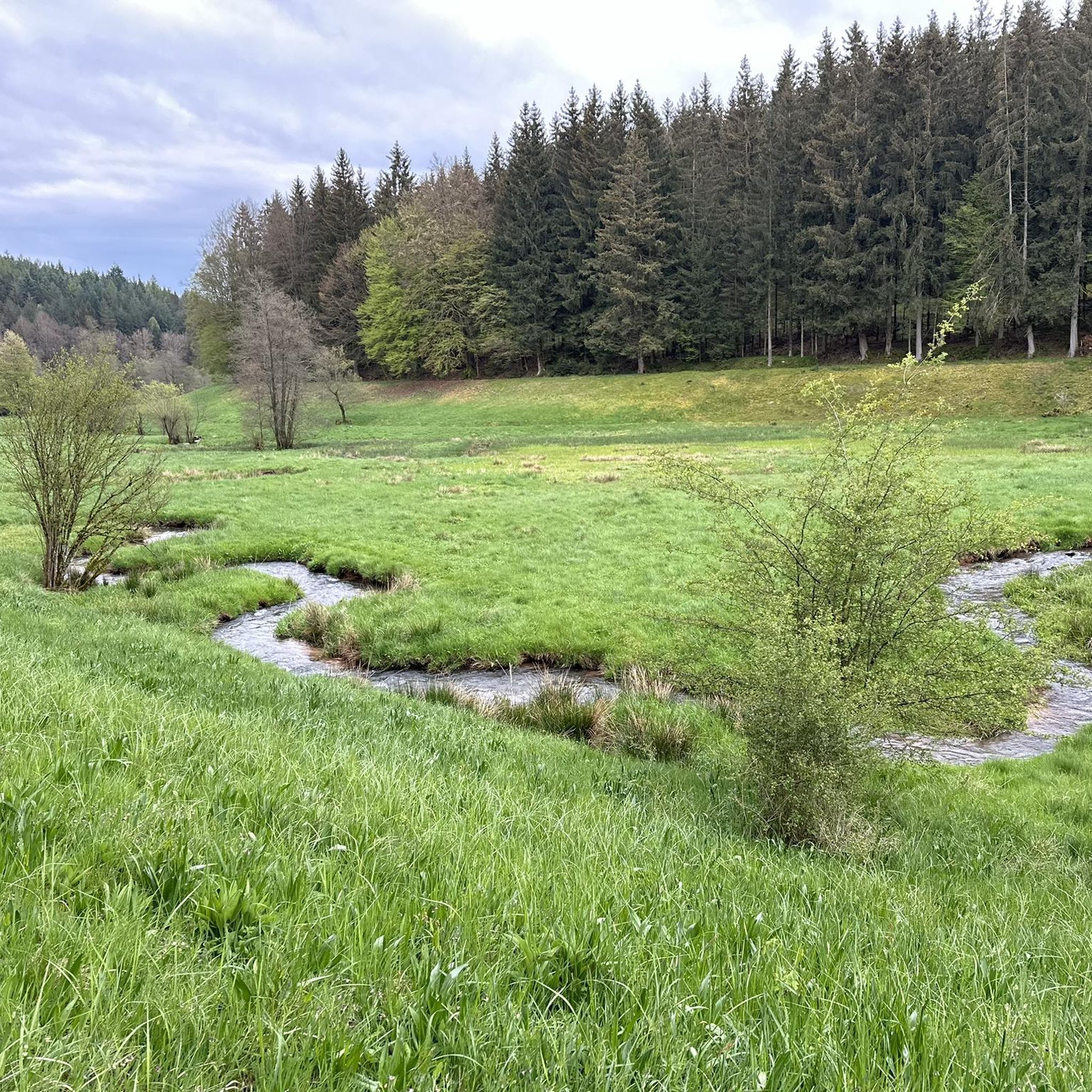
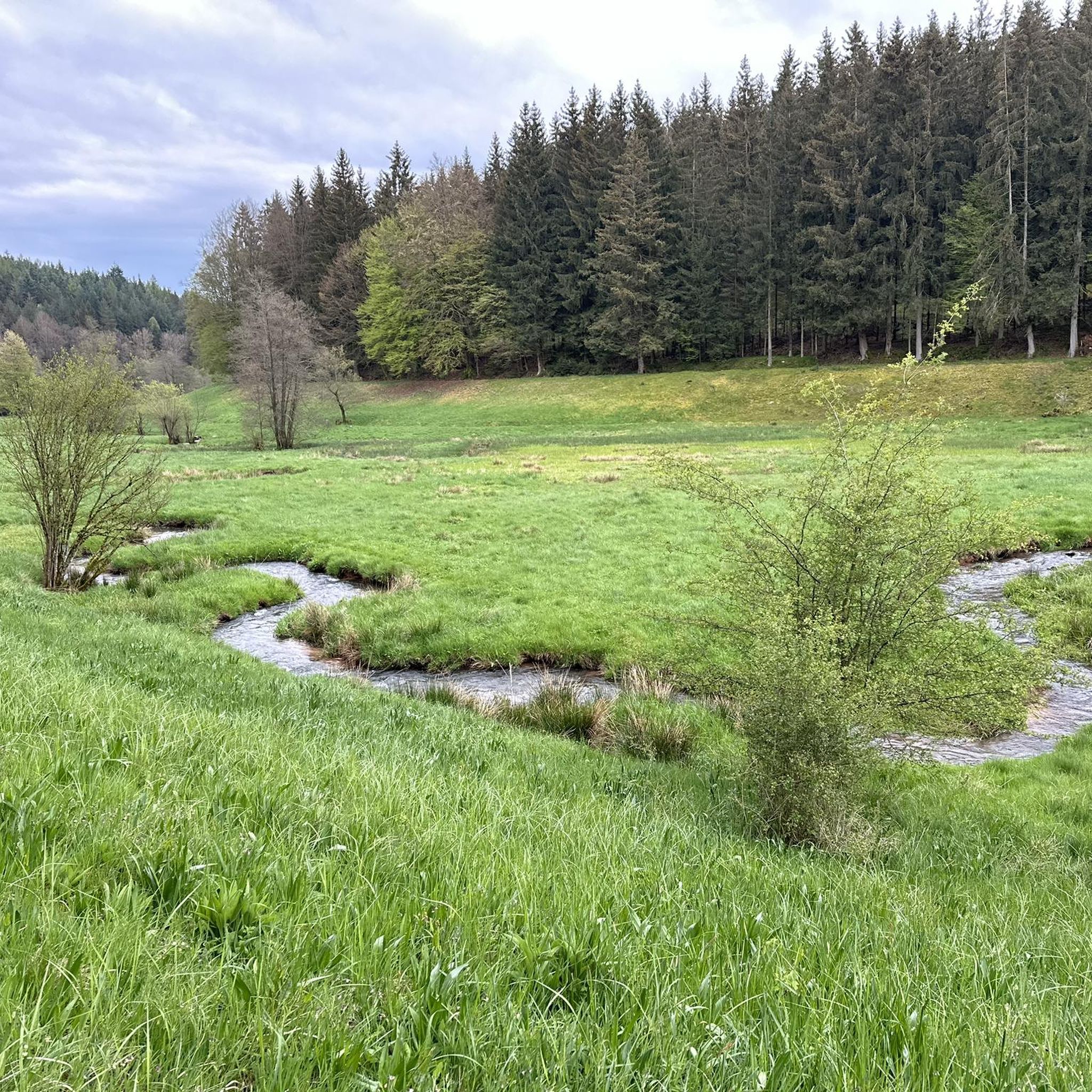
The Kahlquellen (Kahl Springs) are a great place to rest in the shade. Many trails and tours converge here.
8
0
The Erkelshöhe (historically: Mertel) is a 517 m above sea level. NHN high mountain in the Spessart in the Bavarian district of Aschaffenburg and in the Hessian Main-Kinzig district in Germany. The Erkelshöhe lies between the towns of Wiesen and Flörsbach. The state border runs across the summit between the municipality of Flörsbachtal (Hesse) and the unincorporated area of Wiesener Forst (Bavaria). In the southeast, the Erkelshöhe goes flat to the Sauberg (454 m). Both mountains belong to the Sailhöhe ridge stretching towards Wiesthal. West of the summit, about a kilometer away, is the village of Wiesen im Aubachtal; on the south-eastern slopes is the town of Mosborn on the upper reaches of the Laubersbach. North of the mountain are the Wiesbüttsee and the Wiesbüttmoor. The Franconian Marienweg leads over the Erkelshöhe. Source: Wikipedia
3
0

In the hut there is a guest book waiting for your descriptions.
6
0

two springs feed the Kahl directly behind the Bamberg mill. There is also a nice rest area.
6
0
Frequently Asked Questions
What unique natural features can I explore in Wiesener Forst?
Wiesener Forst is home to several distinct natural features. You can discover the unique ecosystem of the Wiesbüttmoor, a high-lying raised bog with rare flora like sundew and ice-age plant relics. The nearby Aubachtal Valley offers dense, shady forests along the 22-kilometer-long Aubach river, providing a tranquil natural experience. Additionally, the Erkelshöhe stands as the highest point in the immediate vicinity, offering scenic views of the surrounding Spessart landscape.
Are there any specific nature reserves or protected areas in Wiesener Forst?
Yes, the Wiesbüttmoor and the adjacent Wiesbüttsee form a designated nature reserve ('Naturschutzgebiet') and are part of the European Natura 2000 network. This area is particularly protected for its unique raised bog ecosystem and rare plant species.
What kind of flora and fauna can I expect to see in the Wiesbüttmoor?
The Wiesbüttmoor is known for its rare and unique flora, including carnivorous plants like sundew (Sonnentau) and ice-age plant relics such as hare's-tail cotton grass (Scheidenwollgras) and bog sedge (Sparrbinsen). It's also a habitat for various dragonflies, including the Arctic Emerald Dragonfly.
Are there any historical natural monuments in Wiesener Forst?
Yes, the Judenbörnchen, a spring located at the edge of the Wiesbüttmoor, is explicitly identified as a 'Naturdenkmal' (natural monument) with historical significance. It is named after Jewish cattle dealers who historically rested there. The Dr. Karl Kihn-Platz Rest Area, while a man-made monument, honors Dr. Karl Kihn, who contributed to tourism in the region and is located at a historic traffic junction.
What is the significance of the Judenbörnchen?
The Judenbörnchen is a spring at the edge of the Wiesbüttmoor, formally recognized as a natural monument. It historically fed the moor with water and served as a resting place for Jewish cattle dealers traveling on the old Birkenhainer trade route. A stone at the spring is inscribed with the year 1778, marking its long history.
Are there family-friendly natural monuments or trails in Wiesener Forst?
Many natural monuments in Wiesener Forst are suitable for families. The Dr. Karl Kihn-Platz Rest Area is categorized as family-friendly, offering a spacious cabin and open space. The Kahl Springs and the Aubachtal Valley are also noted as family-friendly. For easy walks, you can find routes like the 'Wiesbütt Lake – Wiesbüttmoor Nature Reserve loop from Wiesen' which is just 2.7 km long, perfect for families. You can explore more options in the Easy hikes in Wiesener Forst guide.
What outdoor activities can I do near these natural monuments?
The area around the natural monuments in Wiesener Forst offers various outdoor activities. You can enjoy hiking, with numerous trails available, including easy loops around the Wiesbüttsee and Wiesbüttmoor. There are also opportunities for running and gravel biking. For more detailed routes, check out the Running Trails in Wiesener Forst, Gravel biking in Wiesener Forst, and Easy hikes in Wiesener Forst guides.
Are there hiking trails near the natural monuments?
Absolutely. Many hiking trails traverse the areas around the natural monuments. For instance, the Franconian Marienweg hiking trail leads over the Erkelshöhe. You can find easy hiking routes like the 'Wiesbütt Crossroads – Wiesbütt Lake loop from Wiesen' (6 km) or the 'Glassworks in the Aubach Valley – Aubachtal Valley loop from Wiesen' (6.3 km). More options are available in the Easy hikes in Wiesener Forst guide.
What is the best time to visit the natural monuments in Wiesener Forst?
The Wiesener Forst is beautiful year-round, but the best time to visit depends on your interests. Spring and summer are ideal for experiencing the unique flora of the Wiesbüttmoor, including the sundew and cotton grass. The forest trails are pleasant during these seasons. Autumn offers vibrant foliage, while winter can provide a serene, snow-covered landscape, though some paths might be more challenging.
What do visitors enjoy most about the natural monuments in Wiesener Forst?
Visitors particularly appreciate the diverse natural beauty and tranquility. The Aubachtal Valley is loved for its beautiful scenery and small fisherman's hut. The Kahl Springs are popular as a starting point for tours and for refilling water bottles. The Dr. Karl Kihn-Platz Rest Area is valued as a historic junction and a pleasant spot to rest. The unique ecosystem of the Wiesbüttmoor also draws many nature enthusiasts.
Where can I find a river source in Wiesener Forst?
You can visit the Kahl Springs, which is the source of the Kahl river. This spot is not only a natural monument but also a popular starting point for many tours and an ideal place to refill your water bottles.
Is there a highest point I can visit in Wiesener Forst?
Yes, the Erkelshöhe is the highest point in the immediate vicinity, standing at 517 meters above sea level. It offers panoramic views of the surrounding Spessart landscape and is accessible via hiking trails like the Franconian Marienweg.
Most popular routes in Wiesener Forst
Most popular attractions in Wiesener Forst

Get inspired with the komoot mobile app


Explore more
Extend your search for the best caves by checking out these guides of the top ones in Wiesener Forst:
