Top 10 Natural Monuments around Jed Valley
Best natural monuments around Jed Valley are found within the Scottish Borders, defined by the Jed Water river and its surrounding landscapes. The region features notable natural and geological formations, offering historical significance and picturesque views. These features highlight the geological richness and scenic beauty of the area.
Best natural monuments around Jed Valley
- The most popular natural monuments is Rubers Law Summit and Trig Point, a viewpoint and summit that features a hill fort and was a Roman…
Last updated: July 1, 2026
Lilliard's Stone and Lilliot Cross
Highlight • Historical Site
Tip by

Rubers Law Summit and Trig Point
Highlight • Viewpoint
The black toposcope placed on top of …
Tip by

Sign up now to discover places like this
Get recommendations on the best single tracks, peaks, & plenty of other exciting outdoor places.
Sign up for free
The Three Kings Stone Circle
Highlight • Natural Monument
Tip by
Bonchester Hill Cairn
Highlight • Historical Site
Stunning views of the area from …
Tip by
View from the Boulder over Green Crag and Ravens Knowe
Highlight • Natural Monument
Tip by

Sign up for free to discover even more natural monuments around Jed Valley.
Sign up for free
Already have an account?
Start today with a free account
Your next adventure awaits.
Login or Signup
Tips from the Community

The climb itself is breathtaking and largely pathless.
1
0

Some say Maid Lilliard fought at Lilliard’s Edge during the Battle of Ancrum Moor to avenge her slain lover, while others believe she sought revenge for her lost family. According to legend, she either killed the ruthless English leaders Sir Ralph Evers and Sir Brian Laiton or rallied the outnumbered Scots to victory. After the battle, searchers found her body near the fallen English leaders. Though badly injured, she was recognized by her golden hair and white plume. Whether she truly struck down Laiton remains unknown, but she was given an individual burial, and a memorial was later erected in her honor.
0
0

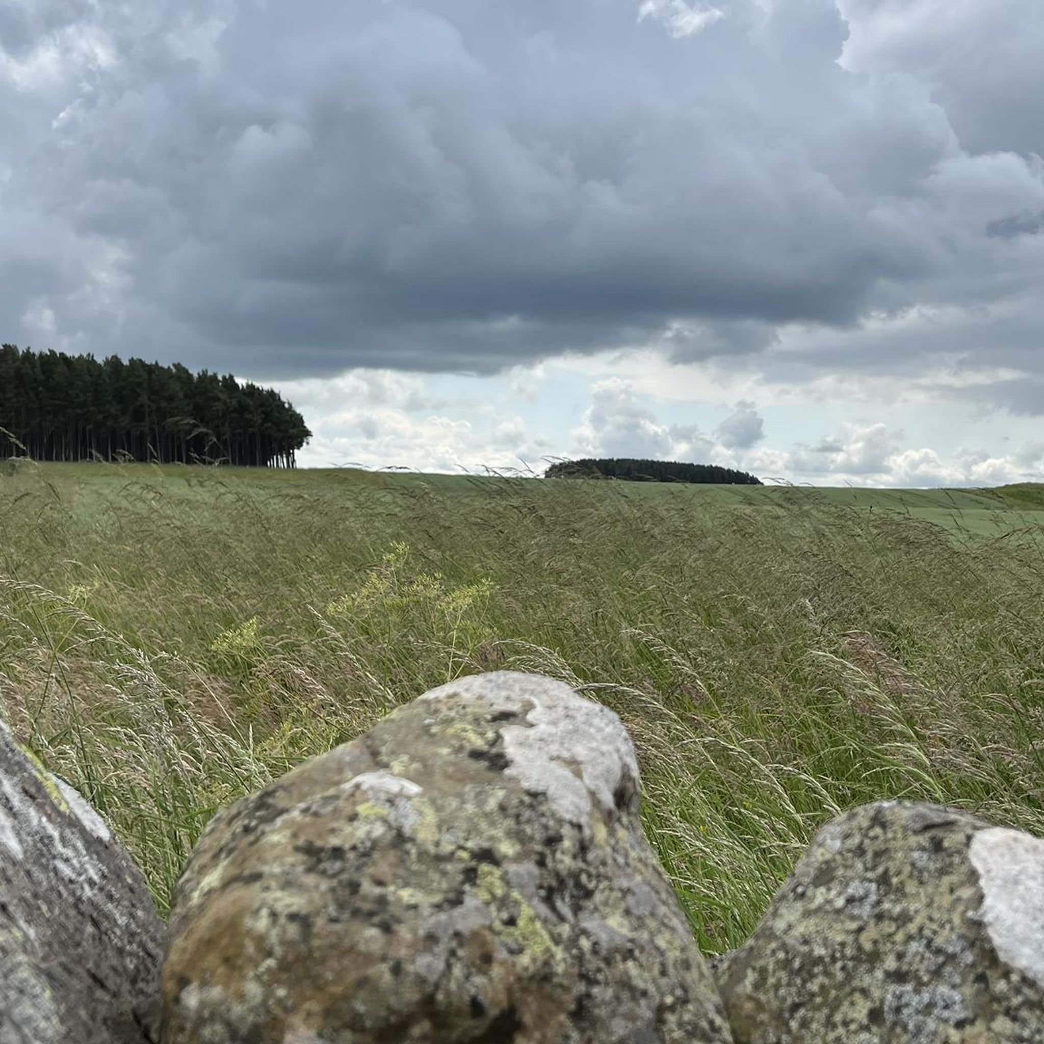
An aptly named highlight where there is a nice big rock for one to stand on to look out over the scenic views towards Green Crag and Ravens Knowe.
1
0

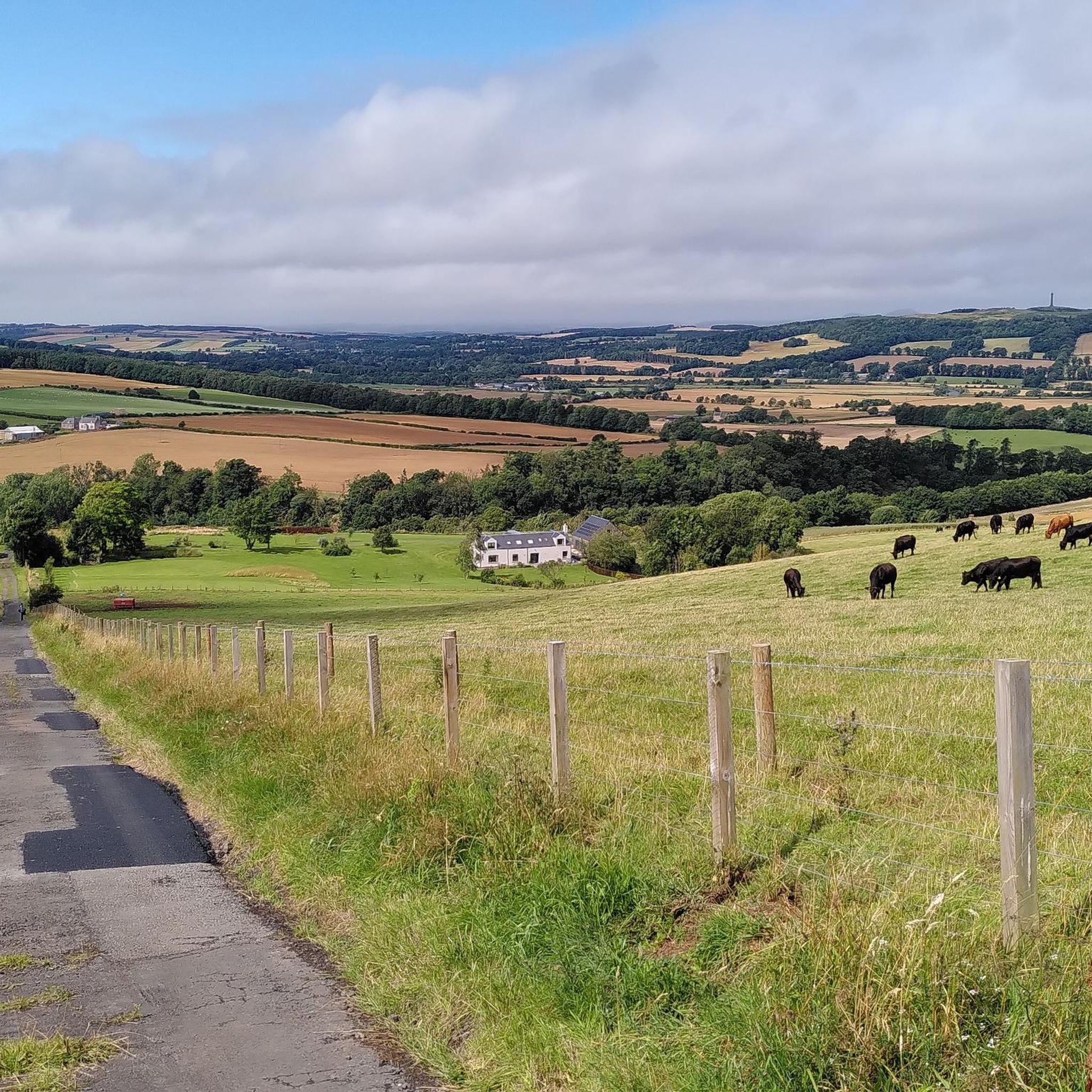
This hill (323m), with a cairn, overlooks the village of Bonchester Bridge; it is also the site of a fort, so of archeological interest. Stunning views of the area from up here: you will see the summits of Rubers Law and Black Law, but I am sure the Eildon Hills will draw your keen eyes first!
1
0
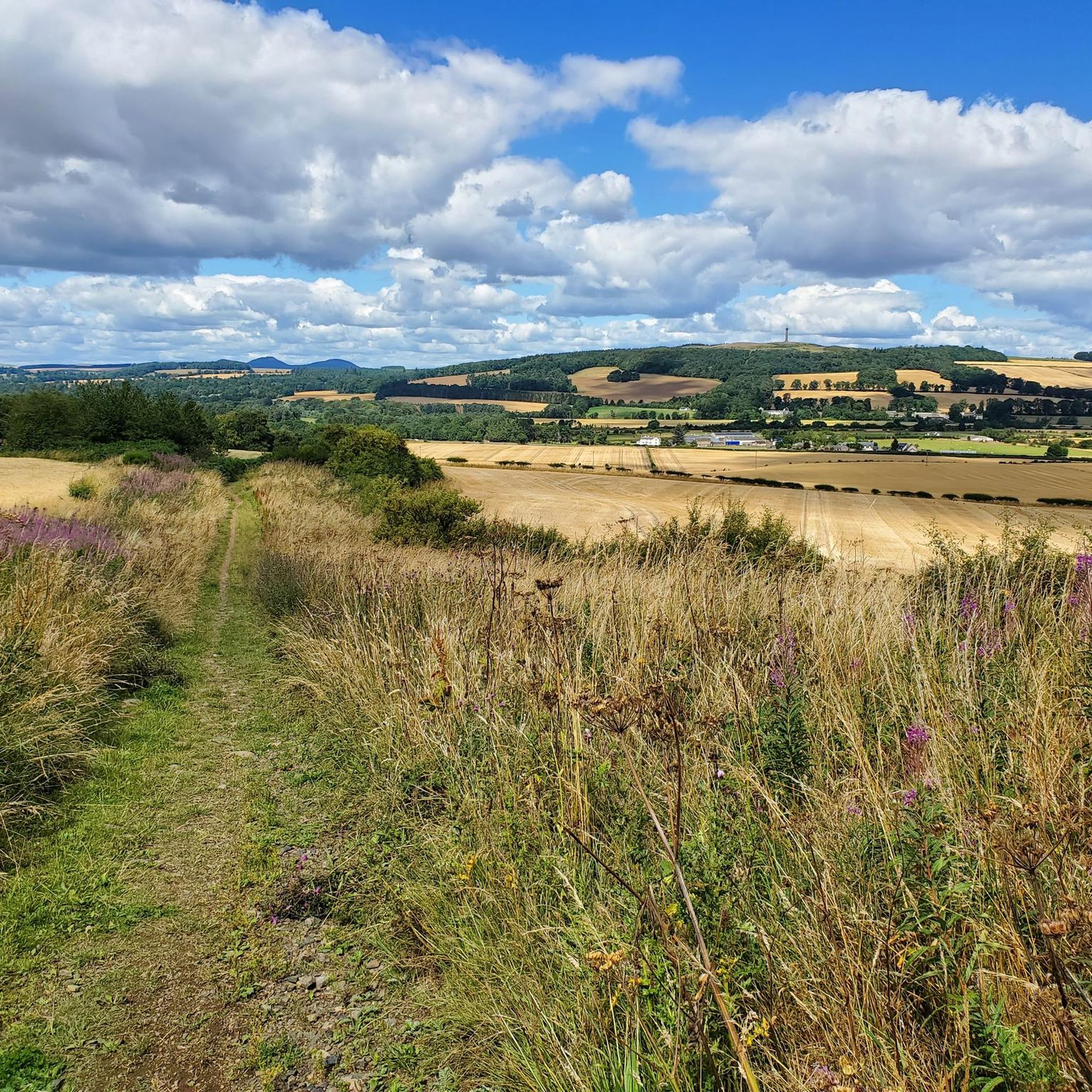
This lovely hill (424m), south of Denholm, has a hill fort and was a Roman signal station. Fantastic, far-reaching views in all directions. The black toposcope placed on top of the triangulation pillar here identifies many of the hills / landmarks visible from up here.
1
0

Around 800 years ago, the monks of Melrose Abbey erected a stone at this spot, beside the Dere Street Roman road. By 1372 the stone was known as Lylliot Cross and members of the Scottish and English crowns met here to resolve disputes. Unfortunately, the meetings were unsuccessful and the Battle of Ancrum Moor took place in 1545 resulting in victory for the Scottish Army against a much larger English force. According to legend, the fair maiden Lilliard followed her lover to this battle and when he was killed, took up his sword and set about slaying the English until she died of her own wounds. There is no evidence of this event, though.
2
0
This Bronze Age stone circle has three standing stones and one lying flat. Its name derives from a legend that the monument marks the grave of three kings of Denmark who had been killed in battle.
1
0
Frequently Asked Questions
What are the most popular natural monuments to visit around Jed Valley?
Visitors frequently enjoy Rubers Law Summit and Trig Point, a viewpoint offering far-reaching views and historical significance as a Roman signal station. Other popular spots include Lilliard's Stone and Lilliot Cross, a historical site linked to the Battle of Ancrum Moor, and The Three Kings Stone Circle, a Bronze Age monument with a fascinating legend.
Are there natural monuments around Jed Valley with historical significance?
Yes, several natural monuments in the area are rich in history. Lilliard's Stone and Lilliot Cross marks the site of the Battle of Ancrum Moor from 1545 and is associated with the legend of Maid Lilliard. Rubers Law Summit and Trig Point was once a Roman signal station and features a hill fort. Additionally, The Three Kings Stone Circle is a Bronze Age site with a legend about Danish kings.
What geological features can I explore in the Jed Valley area?
The Jed Valley and surrounding Scottish Borders offer diverse geological features. You can visit the Allars Mill Unconformity near Jedburgh, a significant site where James Hutton, the pioneer of modern geology, made groundbreaking observations. Penielheugh Hill is a prominent dolerite plug offering panoramic views, and the Eildon Hills are distinctive for their Carboniferous igneous rocks and red screes. The South Minto Hills also feature accessible vent agglomerates, which are accumulations of volcanic rock fragments.
Are there any natural monuments around Jed Valley that offer panoramic views?
Absolutely. Rubers Law Summit and Trig Point provides fantastic, far-reaching 360-degree views. Similarly, Bonchester Hill Cairn offers stunning vistas of the area, including Rubers Law, Black Law, and the Eildon Hills. Penielheugh Hill, topped by the Waterloo Monument, also boasts one of the best panoramic views in the region.
What kind of outdoor activities can I do near the natural monuments in Jed Valley?
The Jed Valley area is excellent for various outdoor activities. You can find numerous cycling routes, such as the Denholm and Lilliesleaf Cycle Route or the Oxnam and Nisbet Border Loop, which are part of the Cycling around Jed Valley guide. For runners, there are trails like the Jed Water Riverside Path, detailed in the Running Trails around Jed Valley guide. The Cheviot Hills also offer a variety of walking paths, from gentle slopes to challenging hikes.
Are there family-friendly natural monuments or walks in Jed Valley?
While specific family-friendly designations for all natural monuments aren't provided, the Jed Water itself offers tranquil paths and varied landscapes suitable for walks. Many of the historical sites like The Three Kings Stone Circle can be interesting for families due to their legends. For walks, consider routes along the Jed Water, which provide an immersive experience in nature without extreme difficulty.
What is the best time of year to visit Jed Valley for exploring natural monuments?
The Jed Valley is beautiful throughout the year, but spring and summer (April to September) generally offer the most pleasant weather for exploring, with longer daylight hours and milder temperatures, ideal for hiking and enjoying the panoramic views. Autumn brings vibrant foliage, while winter can be picturesque but may involve colder, wetter conditions.
Can I find trails for running near the natural monuments?
Yes, there are several running trails in the Jed Valley area. For example, you can explore the Jed Water Riverside Path or routes that pass by the Waterloo Monument. More options are available in the Running Trails around Jed Valley guide, which includes routes of varying distances and difficulties.
What makes the Jed Water river a significant natural feature in the valley?
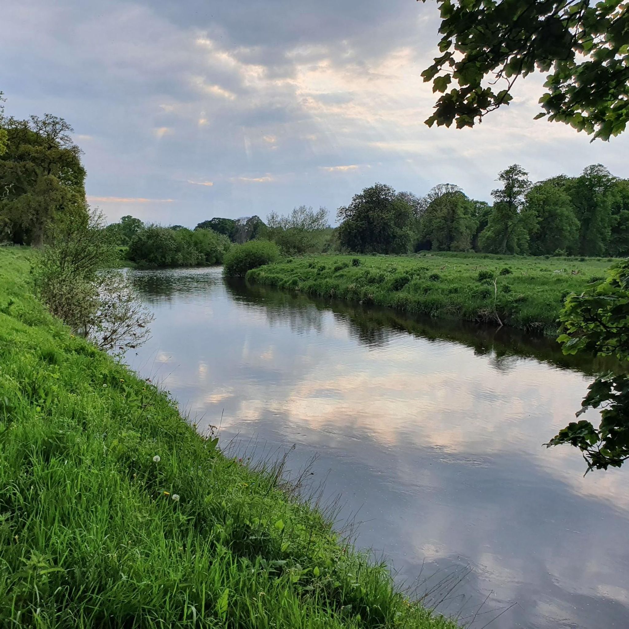
The Jed Water is central to the valley's identity. Originating in the Cheviot Hills, it flows north to join the River Teviot. Historically, it was a vital water source and powered a watermill. The river is celebrated for its pure waters, brisk currents, and picturesque landscapes, offering tranquil paths for hiking and an immersive experience in nature. It was historically praised for its 'elements of fine landscape'.
Where can I find unique volcanic rock formations in the Jed Valley region?
For unique volcanic rock formations, consider visiting the Eildon Hills, which are formed by Carboniferous igneous rocks and display characteristic red screes. Another excellent spot is Smailholm Tower, which, while a historic structure, is situated on a ridge of intrusive Carboniferous dolerite. This site offers some of the best-exposed examples of the Kelso Volcanic Formation basalt lavas, featuring visible columnar jointing.
What do visitors particularly enjoy about the natural monuments in Jed Valley?
Visitors appreciate the combination of natural beauty and historical depth. For instance, the far-reaching views from Rubers Law Summit and Trig Point are highly praised, with a toposcope helping to identify landmarks. The historical narratives surrounding sites like Lilliard's Stone and Lilliot Cross also captivate visitors, offering a glimpse into the region's past.
Are there any natural monuments that combine both natural beauty and archaeological interest?
Yes, Bonchester Hill Cairn is a great example. This hill, topped with a cairn, is also the site of a fort, making it of archaeological interest. It offers stunning views of the surrounding area, blending natural beauty with historical significance. Rubers Law Summit and Trig Point also features a hill fort and was a Roman signal station.
Most popular attractions around Jed Valley

Get inspired with the komoot mobile app


Explore more
Extend your search for the best caves by checking out these guides of the top ones around Jed Valley:
