Top 15 Natural Monuments around Kalewater
Best natural monuments around Kalewater are shaped by the Kale Water river and the Cheviot Hills, offering a landscape of significant natural features. The Kale Water, a 20-mile-long tributary of the River Teviot, originates in the Cheviot Hills and meanders through the Scottish Borders. This region is characterized by weathered andesite bedrock and evidence of Quaternary glaciation, providing geological interest. The area presents a visually appealing landscape for nature enthusiasts.
Best natural monuments around Kalewater
- The most popular natural monuments…
Last updated: July 1, 2026
The Cheviot Summit
Highlight • Volcano
Tip by

Cairn Hill
Highlight • Viewpoint
Tip by
Sign up now to discover places like this
Get recommendations on the best single tracks, peaks, & plenty of other exciting outdoor places.
Sign up for free
Summit of Windy Gyle
Highlight • Viewpoint
Tip by
Lilliard's Stone and Lilliot Cross
Highlight • Historical Site
Tip by
Stichill Linn Waterfall
Highlight • Natural Monument
Tip by

Sign up for free to discover even more natural monuments around Kalewater.
Sign up for free
Already have an account?
Start today with a free account
Your next adventure awaits.
Login or Signup
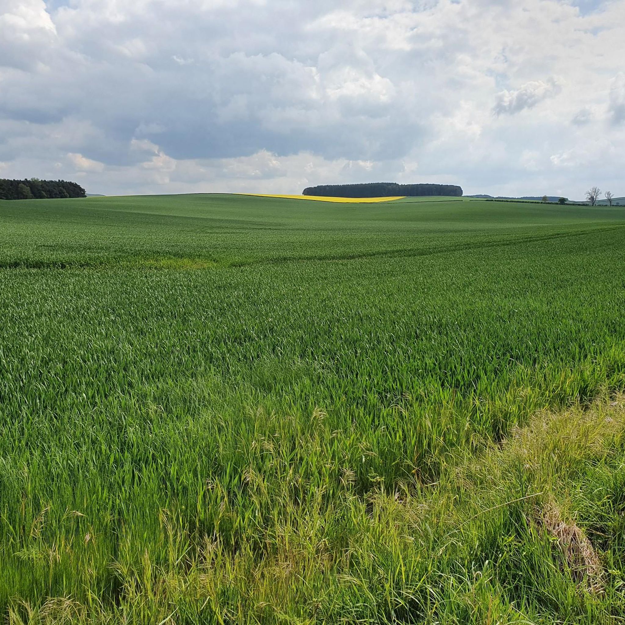
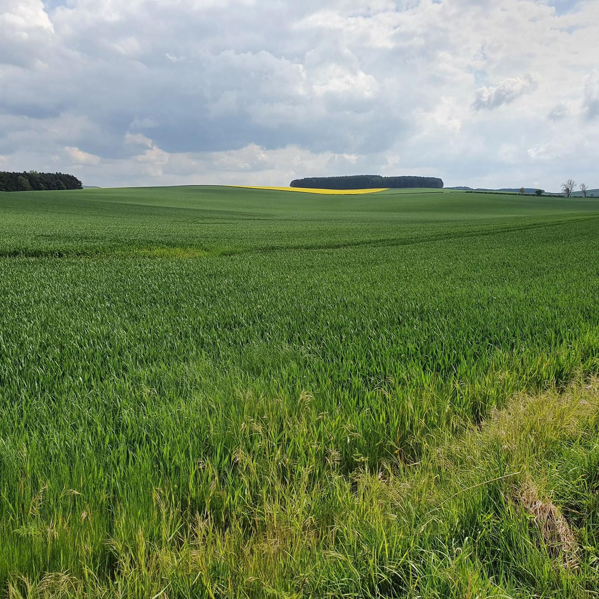
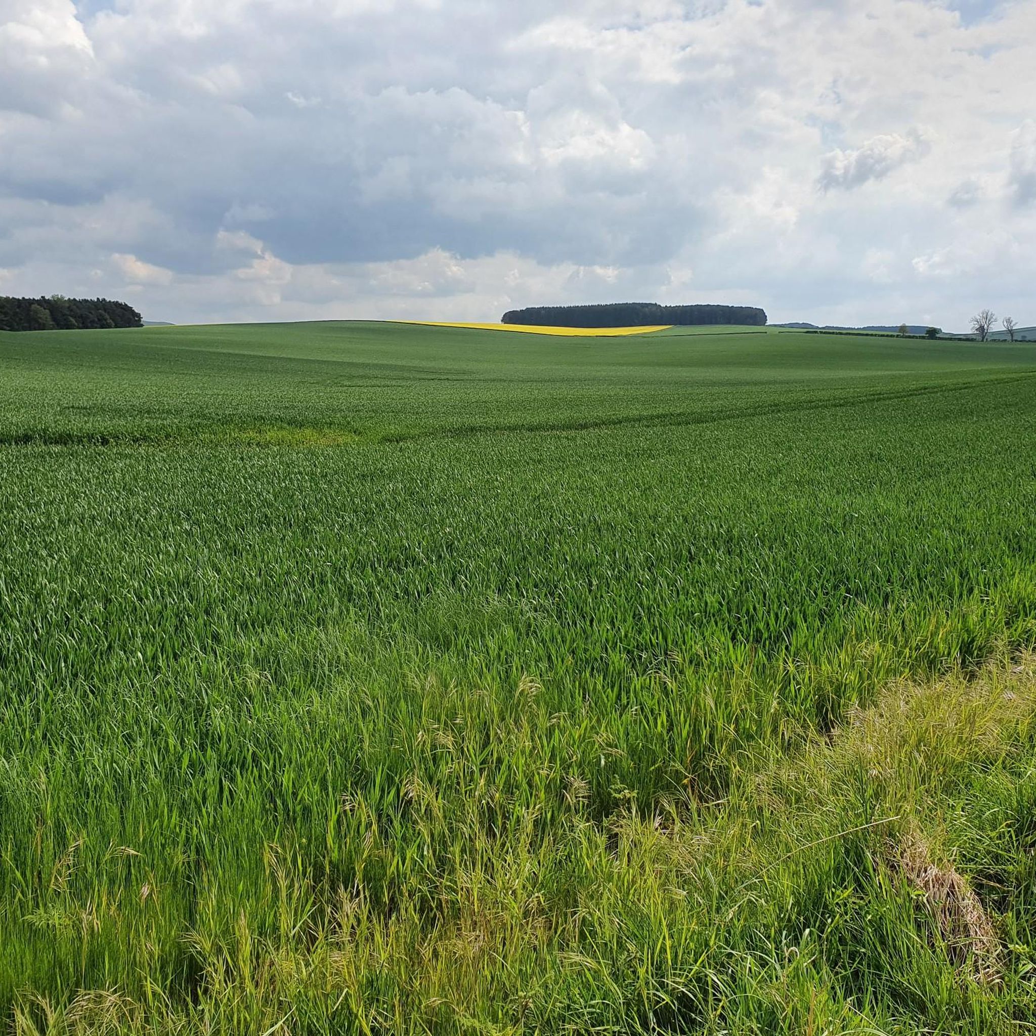
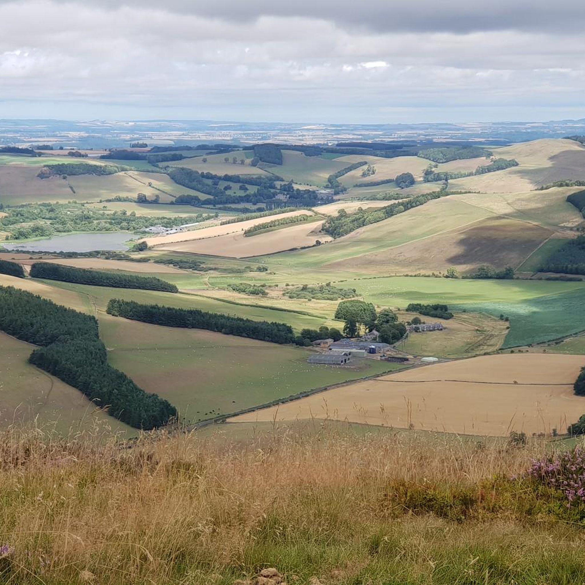
Tips from the Community

Some say Maid Lilliard fought at Lilliard’s Edge during the Battle of Ancrum Moor to avenge her slain lover, while others believe she sought revenge for her lost family. According to legend, she either killed the ruthless English leaders Sir Ralph Evers and Sir Brian Laiton or rallied the outnumbered Scots to victory. After the battle, searchers found her body near the fallen English leaders. Though badly injured, she was recognized by her golden hair and white plume. Whether she truly struck down Laiton remains unknown, but she was given an individual burial, and a memorial was later erected in her honor.
0
0

Highest mountain in Northumberland national park, a decent path runs through to the summit as its a complete bog fest and there's not really any views as its a large plateau, but the views on the way back down are beautiful.
1
0

This is the summit of Windy Gyle 619mtrs. Approaching this hill you start to be amongst the clouds and visibility becomes less. It can be windy and wet but was not too bad on the day of the trail in late September 2024
0
0

A great spot is to sit on the trigg point and take the 360 views in which is absolutely stunning,one of my favorite places to hike and you will not be disappointed 😀
1
0
Windy gyle. one of the most stunning views you will see in Northumberland 360.
0
0
This area was like a swamp on the day I rode, it is easy enough to ride on the slab stones. Do not go off them though as you will sink into a very boggy surface and will be in a mess. The weather was barren at Cairn Hill summit which is 777mtrs
0
0

The name "Cairn Hill" refers to a kind of prehistoric stone pile (cairn) that was built on the summit of this hill. Such structures may have been used as ritual or burial sites in prehistoric times. Cairn Hill is a popular place for nature walks and outdoor activities, as it is located in the hinterland of Scotland. The fact that it is surrounded by the natural beauty of Scotland makes it an attractive destination for nature lovers and hikers. https://tinyfishing.fun/
1
0
Frequently Asked Questions
What are the primary natural features defining the Kalewater region?
The Kalewater region is primarily defined by the Kale Water river itself, a 20-mile-long tributary of the River Teviot. Its origins in the Cheviot Hills and its meandering course through the Scottish Borders create a landscape characterized by weathered andesite bedrock and significant Quaternary geological features, including evidence of glaciation and solifluction sheets. The Cheviot Hills are a dominant natural element.
Which natural monuments offer the best panoramic views in Kalewater?
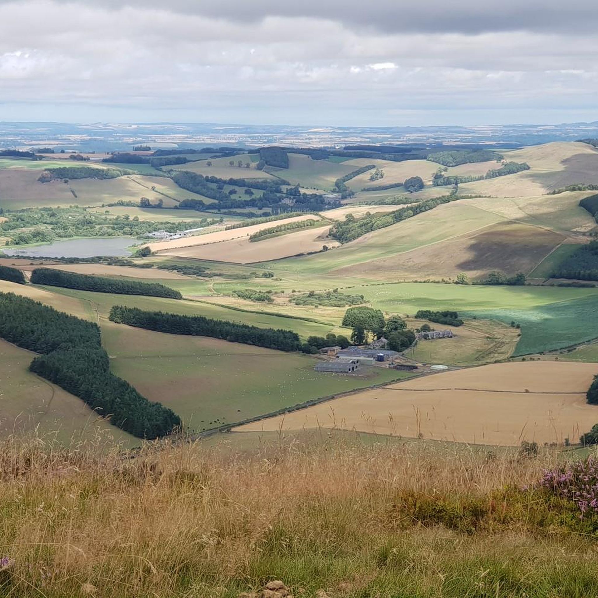
For spectacular panoramic views, consider visiting The Cheviot Summit, the highest point in Northumberland National Park, where on a clear day you can see as far as the Lake District and Edinburgh. Cairn Hill also offers breathtaking views over the wild Cheviots, and the Summit of Windy Gyle provides views over Scotland and The Cheviot.
Are there any historical sites among the natural monuments in Kalewater?
Yes, the area features historical elements. For example, the Summit of Windy Gyle is topped with Russell’s Cairn, a Bronze Age burial cairn. Additionally, Lilliard's Stone and Lilliot Cross marks a spot with significant history, including its connection to the Battle of Ancrum Moor in 1545 and local legends.
Can I find waterfalls in the Kalewater area?
Yes, the Kalewater region is home to Stichill Linn Waterfall. This impressive 40-foot waterfall on Eden Water is a hidden gem, offering a rewarding sight for those who make the trek through its often muddy pathways.
What kind of geological features can be observed in the Kalewater region?
The Kalewater region is rich in geological interest. You can observe weathered andesite bedrock, particularly in the upper Kale Water valley near Buchtrig, where quarries expose pale grey or pink, fine-grained rock. The area also shows significant evidence of Quaternary glaciation, including isolated exposures of till, meltwater channels, and well-developed solifluction sheets, revealing the powerful natural processes that shaped the landscape.
Are there family-friendly natural monuments or walks around Kalewater?
While specific 'family-friendly' designations for natural monuments are not provided, many of the less challenging sections of the Kale Water riverbanks offer pleasant walks suitable for families. The area's natural beauty provides opportunities for outdoor exploration. For specific routes, you might explore the 'easy' difficulty running or MTB trails listed in the nearby routes, which often have sections suitable for family walks.
Are the natural monuments around Kalewater suitable for dogs?
Many of the trails and natural areas around Kalewater are suitable for dogs, especially those leading to viewpoints like Cairn Hill or the Summit of Windy Gyle. It's always advisable to keep dogs on a lead, especially in areas with livestock or ground-nesting birds, and to follow the Scottish Outdoor Access Code.
What is the best time of year to visit the natural monuments in Kalewater?
The best time to visit depends on your preferred activity. Spring and summer offer milder weather, making hiking and exploring more comfortable, with lush greenery and potential for wildlife spotting. Autumn brings beautiful colors to the landscape. Winter can be challenging due to boggy conditions, especially on higher summits like The Cheviot Summit, but can offer stark, dramatic scenery for experienced hikers.
What outdoor activities can I do near the natural monuments in Kalewater?
The Kalewater area offers a variety of outdoor activities. You can find numerous routes for mountain biking, running, and gravel biking. For example, there are challenging MTB trails like the 'Cheviot Summit and Windy Gyle Trail loop from Kelso' (MTB Trails around Kalewater) and running routes such as the 'Windy Gyle Trail – Summit of Windy Gyle loop from White Know' (Running Trails around Kalewater). There are also gravel biking options, including the 'Kelso Abbey – Roxburgh Viaduct loop from Kelso' (Gravel biking around Kalewater).
What should I wear when visiting the natural monuments in Kalewater?
Given the varied terrain and potential for boggy conditions, especially on higher ground like The Cheviot Summit, it is recommended to wear sturdy, waterproof hiking boots. Layered clothing is advisable to adapt to changing weather conditions, and waterproof outerwear is essential, as the Scottish Borders weather can be unpredictable.
Are there any hidden gems or less-known natural features worth exploring in Kalewater?
Beyond the prominent summits, the Kale Water river's entire course offers tranquil settings for walking and appreciating local flora and fauna. The visible exposures of weathered andesite rock in quarries near Buchtrig are a fascinating, less-known geological feature for those interested in the area's volcanic history. Stichill Linn Waterfall is also considered a hidden gem, tucked away despite its impressive size.
What do visitors enjoy most about the natural monuments in Kalewater?
Visitors frequently appreciate the expansive and wild landscapes, particularly the spectacular views from summits like Cairn Hill and The Cheviot Summit. The sense of remoteness and the opportunity to connect with nature are highly valued. The geological interest and the historical significance of sites like Lilliard's Stone also add to the appeal.
Most popular routes around Kalewater
Most popular attractions around Kalewater

Get inspired with the komoot mobile app


Explore more
Extend your search for the best caves by checking out these guides of the top ones around Kalewater:
