The 6 Most Amazing Peaks around Teufenthal
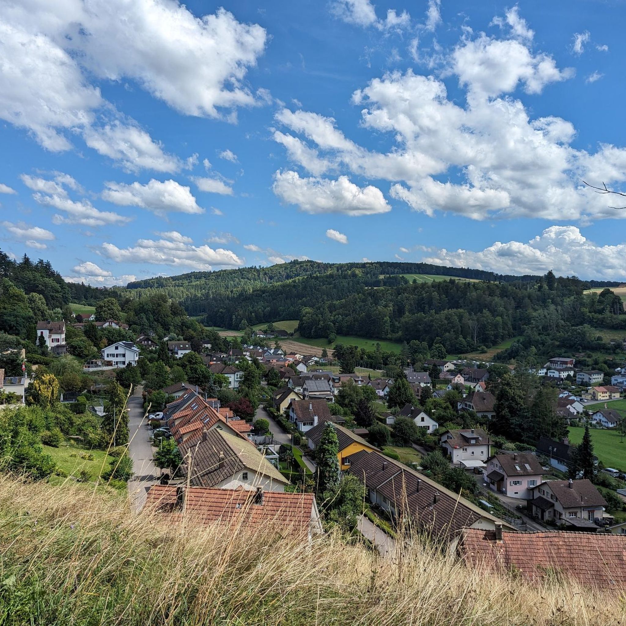
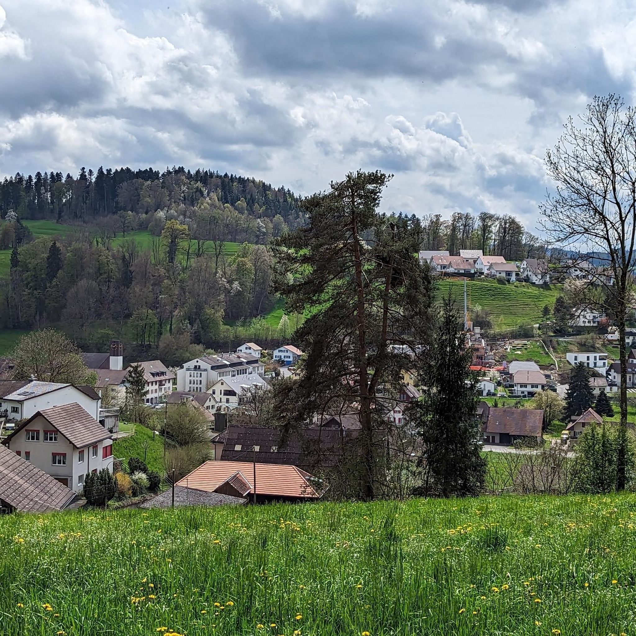
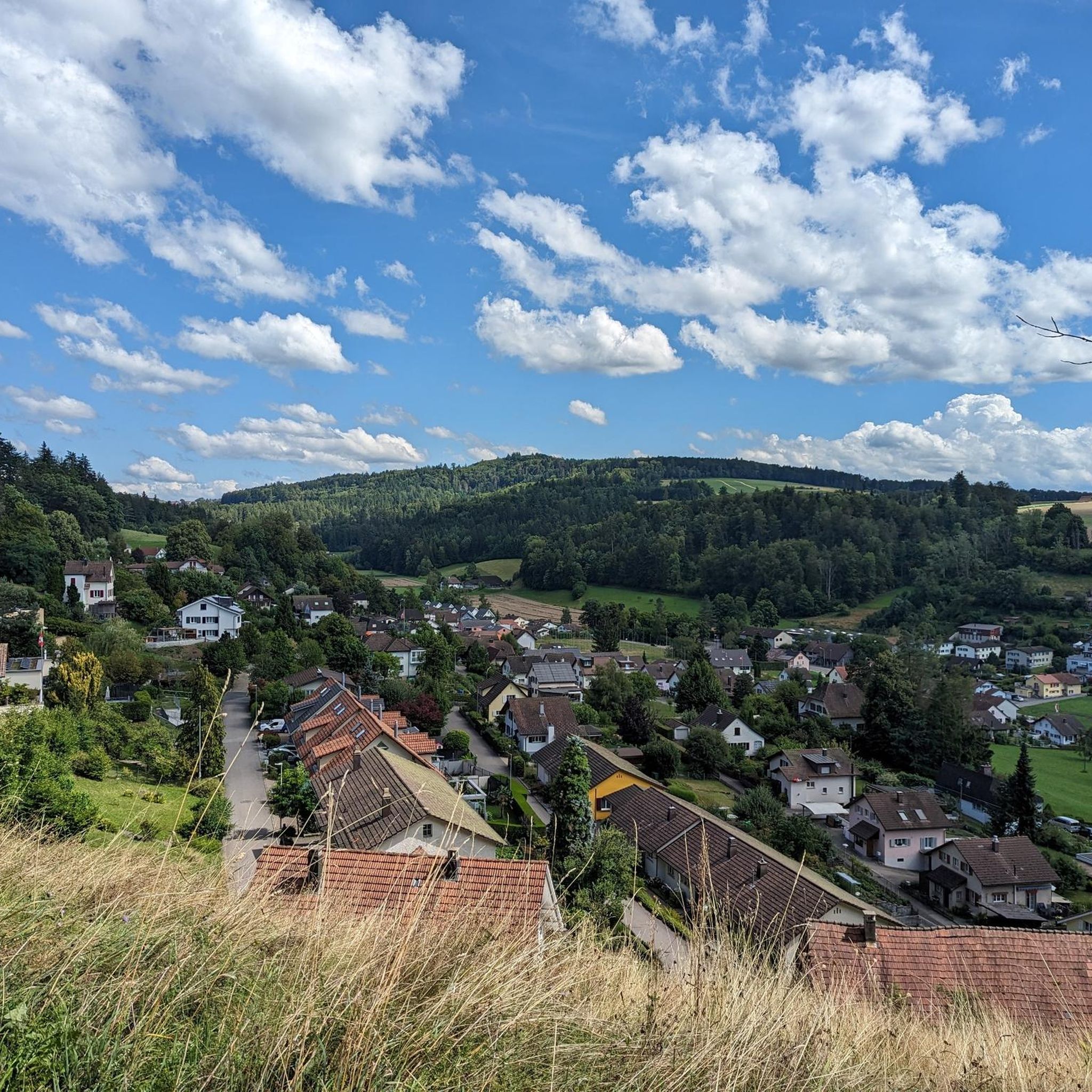
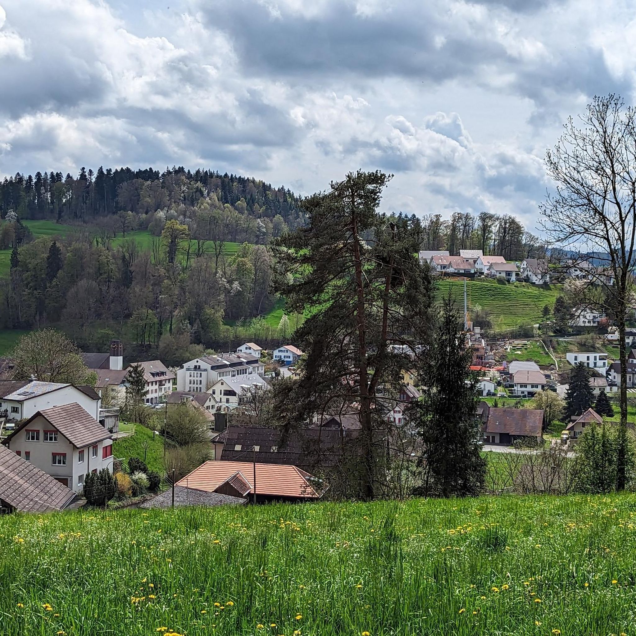
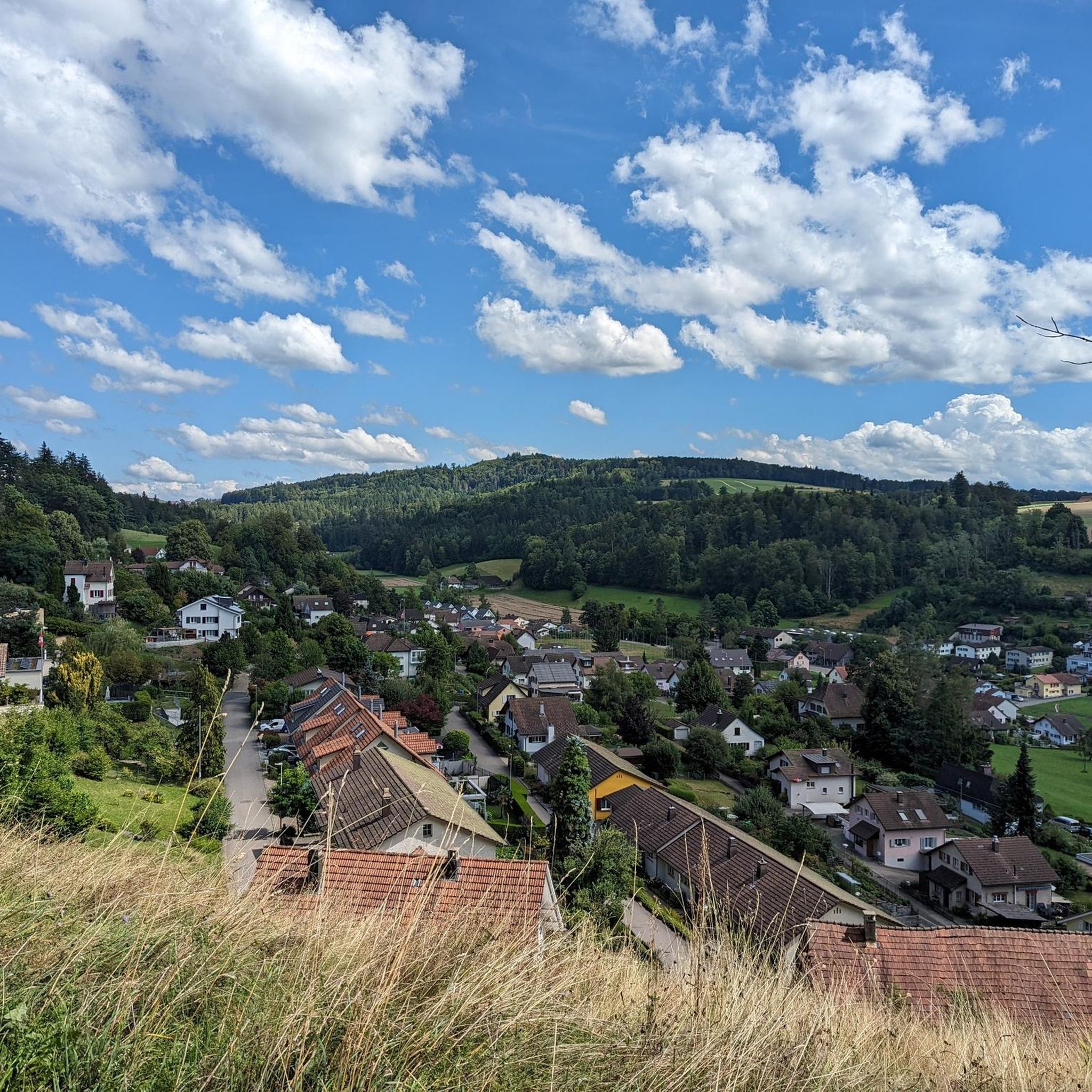
Mountain peaks around Teufenthal offer diverse elevated points within the Canton of Aargau, Switzerland. The region is characterized by its surrounding foothills and provides various recreational opportunities. Visitors can explore natural high points and historical markers that offer views of the Wynental and surrounding areas. The landscape features a mix of forests, trails, and elevated spots suitable for hiking.
Best mountain peaks around Teufenthal
- The most popular mountain peaks is Highest point, a summit that marks the highest point…
Last updated: July 1, 2026
Biberstein
Highlight • Settlement
Translated by Google •
Tip by

Siebenzwingstein Boundary Stone
Highlight • Monument
The border …
Showing Translation
Tip by

Sign up now to discover places like this
Get recommendations on the best single tracks, peaks, & plenty of other exciting outdoor places.
Sign up for free
Seerose Hotel & Restaurant
Highlight • Restaurant
Translated by Google •
Tip by
Highest point in the Lenzburg district (712 m above sea level)
Highlight (Segment) • Summit
Translated by Google •
Tip by

Highest point
Highlight • Summit
Translated by Google •
Tip by

Sign up for free to discover even more peaks around Teufenthal.
Sign up for free
Already have an account?
Start today with a free account
Your next adventure awaits.
Login or Signup

Tips from the Community

Currently not very easy to reach by bike as the area has been recently cut down
1
0
Hidden inconspicuously in the forest lies the highest point in the Lenzburg district.
1
0

Very, very narrow, flat path-like trail
1
0

The ideal starting and ending point for circumnavigating the lake. Large parking lot available, including a swimming pool if you feel like it.
1
0
The Siebenzwingstein is a boundary stone. You can find the exact meaning on Wikipedia. https://de.wikipedia.org/wiki/Siebenzwingstein?wprov=sfla1 If you just whiz by, you'll hardly see it, as it lies a few meters above the road.
1
0

Is hidden just before the paths cross.
1
0

Great stone but be careful not to miss it!!
1
0
Frequently Asked Questions
What are some of the most popular elevated points to visit around Teufenthal?
Visitors to the Teufenthal region often enjoy the Highest point of the Wandfluhtrail, known for its challenging experience. Another popular spot is the Highest point in the Lenzburg district (712 m above sea level), which offers a secluded viewpoint within the forest. The historical Siebenzwingstein Boundary Stone is also a frequently visited landmark.
Are there any historical landmarks among the elevated points near Teufenthal?
Yes, the Siebenzwingstein Boundary Stone is a significant historical landmark. Located at 607 meters above sea level, this stone marks the intersection of three municipalities (Gränichen, Teufenthal, and Seon) and three districts (Lenzburg, Kulm, and Aarau). Its name reflects that seven administrative areas historically met at this point, making it a unique geographical and historical marker.
What kind of views can I expect from the mountain peaks in the Teufenthal area?
While Teufenthal is characterized by foothills rather than towering alpine peaks, several elevated points offer scenic vistas. Homberg, often called the 'Aargauer Rigi,' is renowned for its panoramic views. From Burghorn, one of the highest points on the Lägerngrat, you can enjoy fantastic panoramic views south towards the Appenzeller, Glarus, and Uri Alps, and even the four-thousanders of the Bernese Alps, as well as north into the Surb Valley and the Aargau Jura.
Are there challenging hiking trails to the peaks around Teufenthal?
Yes, for those seeking a challenge, the Highest point of the Wandfluhtrail is known for being a challenging ascent. The region offers a variety of trails, including those that lead to significant elevations like the Geissfluegrat, the highest point in the Canton of Aargau, which are part of longer, more demanding routes.
What outdoor activities can I do near these mountain peaks?
Beyond hiking to the peaks, the Teufenthal region offers a range of outdoor activities. You can explore various cycling options, including mountain biking on trails like those found in the MTB Trails around Teufenthal guide, gravel biking routes in the Gravel biking around Teufenthal guide, or road cycling routes detailed in the Road Cycling Routes around Teufenthal guide.
Are there any family-friendly spots or activities near the elevated points?
While specific peaks might vary in difficulty, the broader Teufenthal region offers family-friendly options. The settlement of Biberstein, with its castle, is considered family-friendly. Additionally, the Seerose Hotel & Restaurant, located directly on a lake, is also noted as family-friendly and provides a relaxing spot.
Where can I find a secluded viewpoint in the forest near Teufenthal?
For a more secluded experience, head to the Highest point in the Lenzburg district (712 m above sea level). This summit is inconspicuously located within the forest, accessible via a very narrow, flat, path-like trail, offering a quiet spot away from more crowded areas.
What is the highest point within Teufenthal's municipal boundaries?
The highest point within Teufenthal's municipal boundaries is Bampf, an offshoot of the Surberg, reaching an elevation of 630 meters (2,070 ft). It provides local residents and visitors with a natural high point within the immediate vicinity of the village, offering local views of the Wynental.
What is the 'Aargauer Rigi' and where can I find it?
Homberg is often referred to as the 'Aargauer Rigi' due to its extensive and beautiful panoramic views, similar to the famous Mount Rigi. It's a popular observation point and is part of a hiking route from Reinach to Teufenthal, offering picturesque landscapes.
What do visitors appreciate most about the mountain peaks around Teufenthal?
Visitors to the mountain peaks around Teufenthal highly appreciate the diverse elevated points, ranging from challenging trails to historically significant boundary stones. The komoot community has shared over 180 photos and given more than 590 upvotes, highlighting the natural beauty, scenic views, and recreational opportunities available in the region.
Are there any places to eat or stay near the mountain peaks?
While specific accommodation directly on the peaks is limited, the Seerose Hotel & Restaurant is a notable option in the wider area. It's located directly on a lake and offers a beautiful garden in summer, making it a pleasant spot to relax and enjoy a meal after exploring the region's elevated points.
What is the highest point in the Canton of Aargau?
The highest point in the Canton of Aargau is the Geissfluegrat, which reaches an elevation of 908 meters. While not directly in Teufenthal itself, it is part of longer hiking trails in the region and offers significant elevation for those looking for more extensive hikes.
Most popular routes around Teufenthal
Most popular attractions around Teufenthal

Get inspired with the komoot mobile app


Explore more
See even more amazing summits around Teufenthal with these guides:
