Top 20 Natural Monuments around Asby
Best natural monuments around Asby are found in a landscape characterized by unique geological formations and diverse natural features. This area, particularly within Westmorland and Furness, Cumbria, England, is known for its extensive limestone pavements and elevated fells. Visitors can explore a variety of natural sites, from high summits offering panoramic views to distinctive woodland and tranquil tarns. These locations provide opportunities to experience the distinctive natural landscape of the region.
Best natural monuments around Asby
- The most popular natural…
Last updated: July 1, 2026
Green Bell Summit
Highlight • Summit
Tip by

Wicker Street Limestone Pavement
Highlight • Viewpoint
Tip by

Sign up now to discover places like this
Get recommendations on the best single tracks, peaks, & plenty of other exciting outdoor places.
Sign up for free
Heart-Shaped Wood, Lune Valley
Highlight • Viewpoint
Tip by

Sunbiggin Tarn
Highlight • Natural Monument
Tip by
Waterfall in North Pennines National Landscape
Highlight • Waterfall
Tip by

Sign up for free to discover even more natural monuments around Asby.
Sign up for free
Already have an account?
Start today with a free account
Your next adventure awaits.
Login or Signup
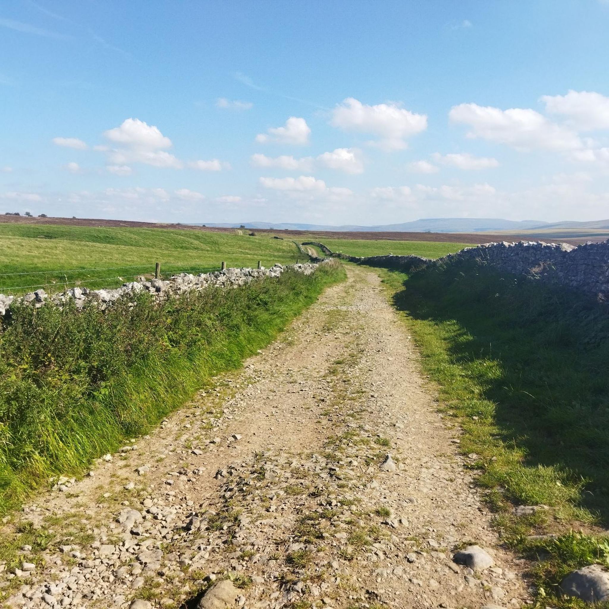
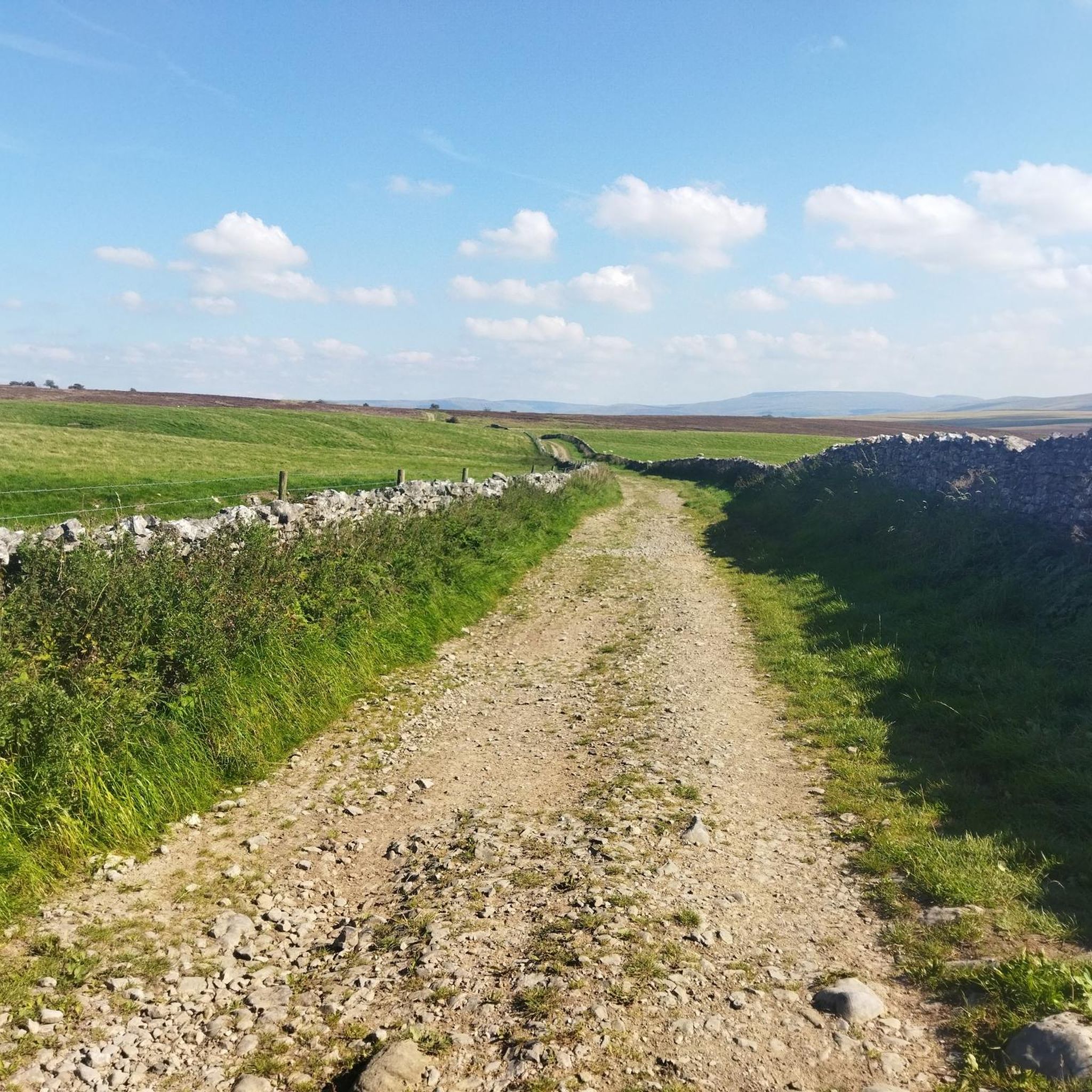


Tips from the Community

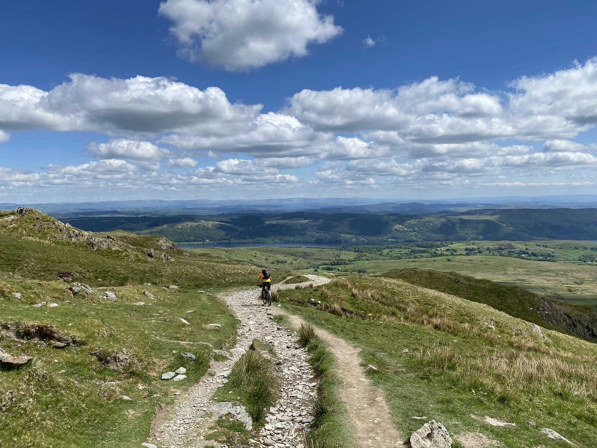
Be aware, the section is fairly poorly signposted to reach from both directions. A landslip has made the path a bit treacherous in wet conditions and requires decent walking gear, required as well for a trek through overgrown wasteland to the South when returning towards Kirkby Stephen.
0
0

Green Bell [10805] 605m P48 (1985ft) (DoBIH Hill ID: 2772) [JNSA 4970] TP3475 - Green Bell 10805 The Howgills Definitive List County of Westmorland Definitive List Yorkshire Dales National Park Definitive List summit
0
0

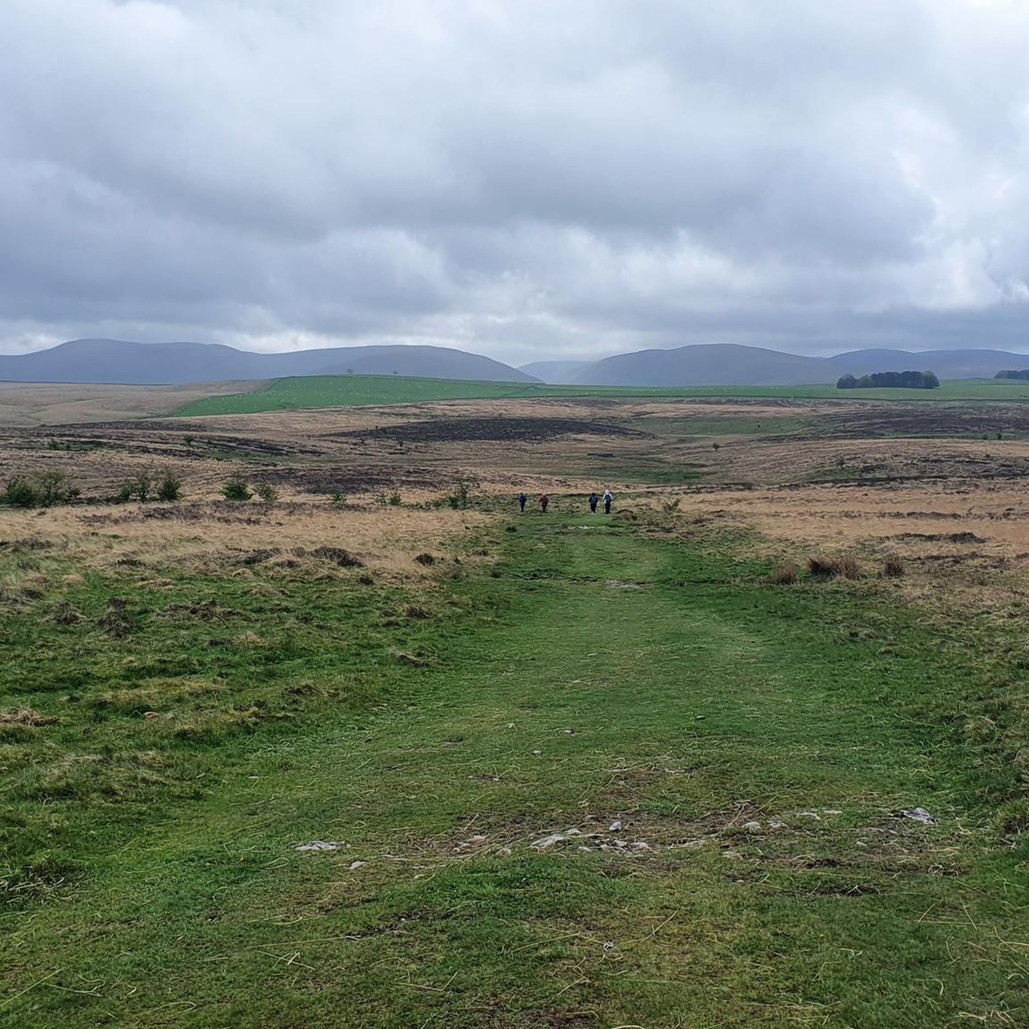
One of just four trig pillars in the Howgills, the remote and tranquil Green Bell is a great vantage point to view the Yorkshire Dales, Lake District Fells and Northern Pennines from a single spot
0
0

Green Bell (605m) is one of the highest summits in the northern Howgills. Probably the most obvious other hill to see from here is Randyhill Top to the south-west and Knoutsberry, immediately to the east, but it is beautiful in any direction from here, and one doesn't quite know what to pay attention the most to.
1
0
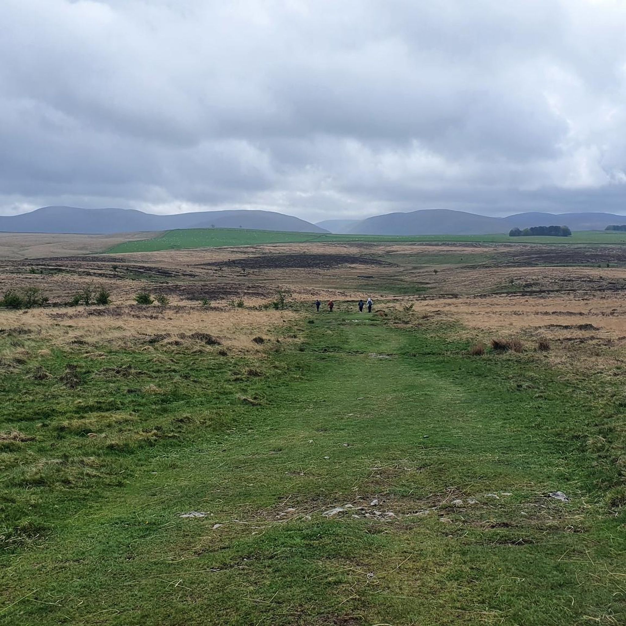
This tarn and, in fact, the surrounding area, is a Site of Special Scientific Interest (SSSI): this is largely because of the limestone areas that surround it. The tarn is a marl lake, with lots of ferns around it. A beautiful place with a rugged feel to the area.
1
0

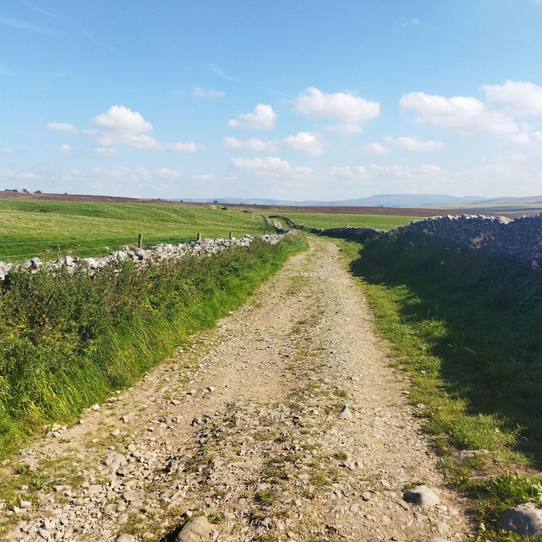
Special and somewhat strange landscape, comparable to what can be seen in Ogof Ffynnon Ddu National Reserve in the center of the Brecon Beacons (Wales). It is exceptional that a tree thrives in such an open and very windy heath. It seems as if the roots are protected by the stones. For a similar image from Ogof Ffynnon Ddu National Reserve, see: https://www.komoot.com/nl-nl/highlight/5894815
1
0


Look to the East and you will see the beautiful heart-shaped wood on the banks of the Howgill Fells
0
0
Frequently Asked Questions
What unique geological features can I explore around Asby?
The Asby area is renowned for its distinctive geological formations, particularly the extensive limestone pavements. You can visit Wicker Street Limestone Pavement, which offers a special and somewhat strange landscape characterized by blocks of limestone called 'clints' separated by 'grikes'. This area is part of the wider Great Asby Scar, a National Nature Reserve known for its unique geology.
Are there any family-friendly natural monuments to visit near Asby?
Yes, there are several family-friendly options. The Heart-Shaped Wood, Lune Valley is a charming viewpoint with a unique woodland formation that has become an icon of Cumbria, perfect for a photo stop. Additionally, Smardale Gill National Nature Reserve is an interesting area for walking and conservation, suitable for families.
Where can I find panoramic views of the surrounding landscapes near Asby?
For breathtaking panoramic views, head to Green Bell Summit. From this vantage point, you can see the Yorkshire Dales, Lake District Fells, and Northern Pennines all from a single spot. It's one of the highest summits in the northern Howgills and offers stunning scenery in every direction.
What kind of natural reserves are there in the Asby region?
The region is home to significant natural reserves. Smardale Gill National Nature Reserve is a notable example, actively involved in conservation efforts and offering interesting walking opportunities. The broader Great Asby Scar area, featuring the limestone pavements, is also designated as a National Nature Reserve.
Are there any tranquil lakes or tarns to visit around Asby?
Yes, Sunbiggin Tarn is a beautiful and serene spot. This marl lake, surrounded by ferns and limestone areas, is a Site of Special Scientific Interest (SSSI). It offers a rugged feel and makes for a marvellously secluded lunch spot with views of the Howgill Fells and Wild Boar Fell.
What outdoor activities can I do near these natural monuments?
The area around Asby offers a variety of outdoor activities. You can find numerous routes for cycling, gravel biking, and hiking. For cycling, explore routes like the 'Kirkby Stephen Parish Church – Rutter Force Waterfall loop' or the 'Orton Scar Café – Pendragon Castle ruins loop'. For easy hikes, consider the 'Beacon Hill Jubilee Monument – View of Orton loop' or the 'Smardale Viaduct – Smardale Hall Motte loop'. You can find more details on these activities in the Cycling around Asby, Easy hikes around Asby, and Gravel biking around Asby guides.
Are there easy hiking trails suitable for all abilities near Asby's natural monuments?
Yes, there are several easy hiking trails available. For instance, the 'Beacon Hill Jubilee Monument – View of Orton loop' and the 'Sunbiggin Tarn – View from Orton Fells loop' are both rated as easy. These trails allow you to experience the natural beauty of the area without strenuous effort. More options can be found in the Easy hikes around Asby guide.
What do visitors enjoy most about the natural monuments around Asby?
Visitors particularly appreciate the unique geological formations, such as the limestone pavements, and the stunning panoramic views from the summits. The tranquility of places like Sunbiggin Tarn and the conservation efforts at Smardale Gill National Nature Reserve are also highly valued. Many enjoy the sense of discovery and the opportunity to experience a distinctive natural landscape.
Is there any historical or cultural significance to the natural monuments in the Asby area?
While primarily natural, some sites carry local lore. For example, the Heart-Shaped Wood, Lune Valley has local legends associated with its formation, including stories of a WWII plane crash or a farmer's daughter planting it. Additionally, the Great Asby Scar area features an old fortified settlement called Castle Folds high on the limestone fells, hinting at past human activity in this rugged landscape.
What is the best time of year to visit the natural monuments around Asby?
The natural monuments around Asby, particularly those with exposed limestone pavements and summits, are generally best visited during drier months, typically from late spring to early autumn. This allows for more comfortable walking conditions and clearer views. However, the unique geology and landscapes can be appreciated year-round, with each season offering a different perspective on the rugged beauty of the region.
Are there any specific tips for visiting the Wicker Street Limestone Pavement?
When visiting Wicker Street Limestone Pavement, be prepared for a special and somewhat strange landscape. The area is known for its unique geological formations. It's also part of the Coast to Coast route, so you might encounter long-distance walkers. Wear appropriate footwear for uneven terrain, as the 'clints' and 'grikes' can be challenging to navigate.
Can I combine a visit to a natural monument with a cycling tour?
Absolutely! Many natural monuments in the Asby area are accessible or viewable from cycling routes. For example, the 'Sunbiggin Tarn – View of Sunbiggin Tarn loop' is a moderate cycling route that takes you near Sunbiggin Tarn. You can explore various cycling options, including touring and gravel biking, by checking the Cycling around Asby and Gravel biking around Asby guides for routes that pass by or offer views of these natural wonders.
Most popular routes around Asby
Most popular attractions around Asby

Get inspired with the komoot mobile app


Explore more
Extend your search for the best caves by checking out these guides of the top ones around Asby:
