Top 20 Natural Monuments around Shap
Best natural monuments around Shap showcase the region's diverse geology and serene landscapes. Located in Cumbria, the area features a blend of rolling hills, open moorland, and distinctive geological formations. These sites offer opportunities to explore unique natural beauty and historical significance. The landscape includes notable features such as granite boulders and rare limestone pavements.
Best natural monuments around Shap
- The most popular natural monument is Loadpot Hill Trig Point, a viewpoint that marks a 2,205-foot Wainwright fell in…
Last updated: July 1, 2026
Loadpot Hill Trig Point
Highlight • Viewpoint
Tip by

Grey Crag Summit
Highlight • Viewpoint
Translated by Google •
Tip by

Sign up now to discover places like this
Get recommendations on the best single tracks, peaks, & plenty of other exciting outdoor places.
Sign up for free
The Cockpit Stone Circle
Highlight • Historical Site
Because of its antiquity, it's unclear what it was actually …
Tip by

Tarn Crag Summit Cairn
Highlight • Viewpoint
Tip by
Wether Hill
Highlight • Viewpoint
Tip by
Sign up for free to discover even more natural monuments around Shap.
Sign up for free
Already have an account?
Start today with a free account
Your next adventure awaits.
Login or Signup
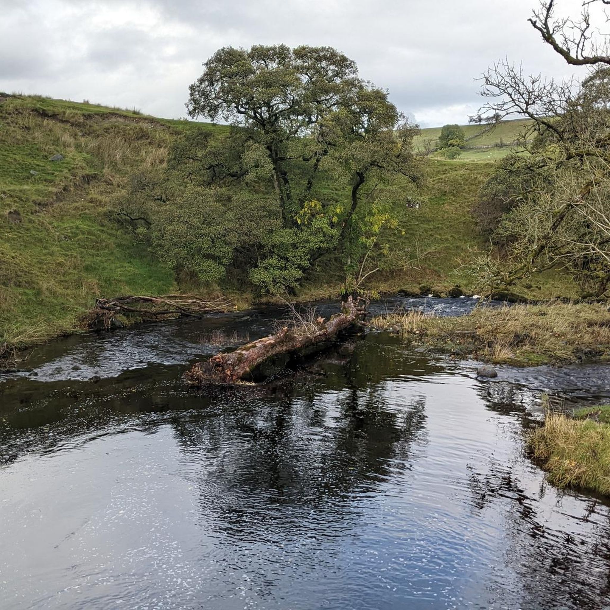
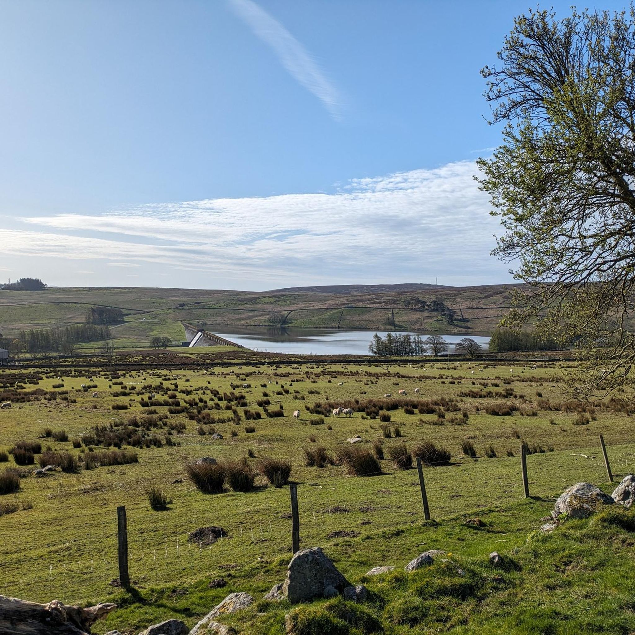
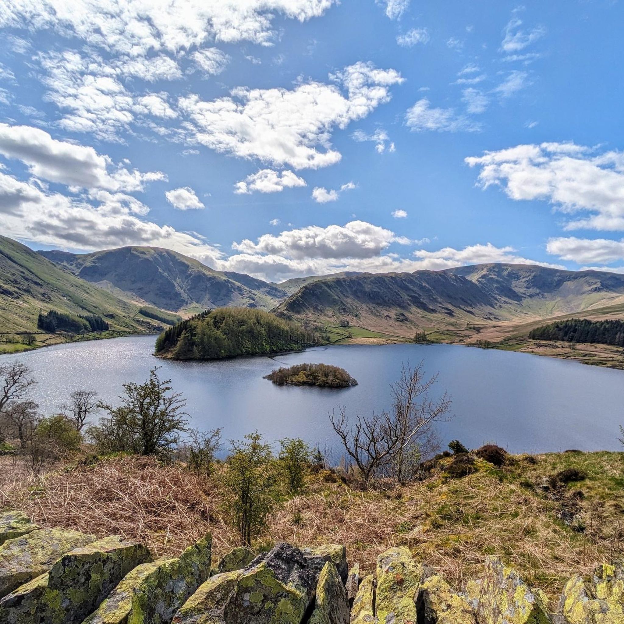


Tips from the Community

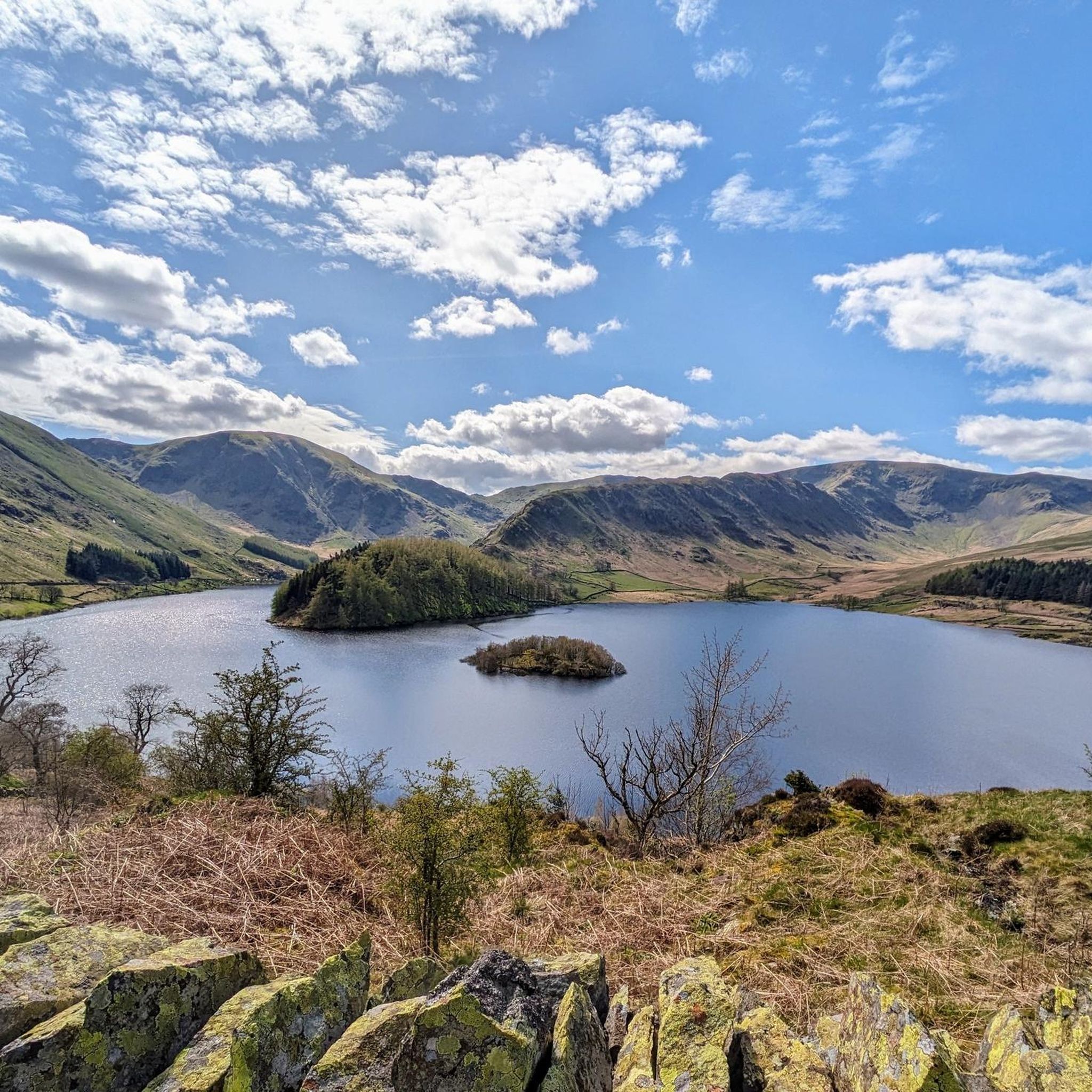
Tarn Crag (664 metres or 2,178 feet) is a great little summit, especially on a sky blue day. There is a small cairn at the true summit, and then there is the marvellous "beacon". This is actually a stone survey pillar that was built in the 1930s as a sighting frame when they built the Haweswater Aqueduct. It was built in order to make sure that the underground tunnel was perfectly aligned. It is a great photo location, as there is a small photogenic pond right next to it, and the views across to Kentmere Pike are super nice.
0
0
This is the Wainwright Wether Hill, which sits at 671 metres high. It is rather barren apart from the cute small stone cairn, but it does have nice 360-degree views of the surrounding fells. The true summit of Wether Hill, which sits at 674 metres high, is about 400-500 metres away. That Wether Hill is a nuttall and has an unmarked top.
0
0
Loadpot Hill, at 671 metres, and its trig point occupy an expansive, flat-topped fell between Arthur's Pike and Wether Hill. It has commanding but distant 360-degree views of the surrounding fells from its barren, flat top that you know must be a nightmare during high winds in winter. The trig point is not the actual summit; the summit is nearby but unmarked.
0
0

Hi, an acquaintance from Switzerland recently told me that he likes to spend some time with crypto after work to unwind, and that piqued my interest because my own trades used to seem quite random. While doing some research, I came across rovixenai Switzerland (https://rovixen-ai-trading.org) and wanted to see if it could help me get started. Initially, I had several small failed attempts in a row and thought it was pointless, but when I took on a bit more risk, things went much better. For me, it was a surprisingly positive experience.
0
0

The Cockpit is a 3,500–5,000-year-old Bronze Age stone circle (27m diameter) located on Moor Divock in the Lake District National Park, overlooking Ullswater. It features roughly 70–75, mainly recumbent, stones set into a circular embankment, likely serving as a prehistoric gathering place. It is accessible via walking trails from Askham or Pooley Bridge.
0
0
Routes like these remind me why I value tours with a clear structure so much. The alternation between open sections and quieter passages helps me find my own rhythm and truly switch off. During a longer break, I realized how important it is to remain flexible with logistics while traveling, especially when combining trips and activities spontaneously. That's why I plan many things in advance, even small things like digital payments, for example via https://paybis.com/de/buy-bitcoin-with-paypal/, to be independent on the road. It's precisely this mix of nature, planning, and freedom that makes such routes so valuable to me.
1
0

The true Wainwright summit is not the trig pillar itself. Locate the highest point of land South West of the trig if you’re a purist doing the Wainwrights
0
0
Wether Hill (671m) is a mountain in the Lake District, between Martindale and Haweswater. It’s located on the main north-south ridge of the Far Eastern Fells between Loadpot Hill and High Raise
0
0
Frequently Asked Questions
What unique geological features can I find among Shap's natural monuments?
Shap is renowned for its diverse geology. You can explore the Shap Fells, known for their distinctive pink granite boulders and varied terrain. Additionally, Cumbria, including areas near Shap, features rare and ecologically significant Limestone Pavements, which are exposed limestone formations with deep fissures. Knipescar Common and Burtree Scar are noted locations for these unique karst landforms.
Are there any historical natural monuments or sites of ancient significance near Shap?
Yes, the area boasts significant historical natural monuments. The Cockpit Stone Circle is a large Bronze Age structure, estimated to be between 3,500 and 5,000 years old, located on the ancient High Street Roman Road. Another notable site is the Goggleby Stone, the tallest surviving monolith of the ancient Shap Stone Avenue, offering a tangible link to Neolithic and Early Bronze Age history. You can learn more about the Shap Stone Avenue on Wikipedia.
What are some of the best viewpoints to experience the natural beauty around Shap?
For panoramic views, consider visiting Loadpot Hill Trig Point, a 2,205-foot Wainwright fell offering expansive vistas across the fells. Another excellent viewpoint is Wether Hill, which provides impressive views of the Helvellyn range and even as far as Scafell on a clear day. Tarn Crag Summit Cairn also offers a beautiful and quiet setting for enjoying the landscape.
What outdoor activities can I do near these natural monuments?
The natural monuments around Shap are excellent starting points for various outdoor activities. You can find numerous running trails, such as the 'Chippy Chippy' loops, or explore challenging MTB trails like the 'Old Corpse Road' route. For those who enjoy gravel biking, there are routes like the 'View of Ullswater' loop. You can find more details and routes in the running trails guide, MTB trails guide, and gravel biking guide for Shap.
Are there family-friendly natural monuments around Shap?
Many of Shap's natural monuments offer experiences suitable for families, particularly those who enjoy walking and exploring. The Shap Fells provide varied terrain for walks, and the historical significance of sites like the Goggleby Stone can be engaging for children. Swindale, with its tranquil beauty and waterfalls, offers a peaceful setting for family strolls. Always check specific route difficulties before heading out with younger children.
When is the best time of year to visit the natural monuments around Shap?
The natural monuments around Shap can be enjoyed year-round, but each season offers a different experience. Spring and summer bring lush greenery and wildflowers, ideal for walking and wildlife spotting. Autumn showcases vibrant fall colors across the fells. While winter can be beautiful with snow-capped landscapes, some routes may be more challenging due to weather conditions. Always check the local weather forecast before your visit.
What kind of wildlife can I expect to see in the natural areas around Shap?
The diverse habitats around Shap support a variety of wildlife. In the Shap Fells, you might spot red deer roaming the open moorland. Swindale, managed by the RSPB, is a Special Site of Scientific Interest (SSSI) known for its rich natural habitat, making it an excellent spot for birdwatching and observing diverse flora. The unique ecosystems of the Limestone Pavements also host specialized plant species, including various ferns and rare flowers.
Are there any secluded or less-known natural gems around Shap worth discovering?
Yes, for those seeking tranquility away from more crowded areas, Swindale is a secluded valley recognized as an SSSI. It offers a peaceful walking experience with picturesque waterfalls and meadows, allowing visitors to immerse themselves in an unspoiled Cumbrian valley. The quiet atmosphere of Tarn Crag Summit Cairn also makes it a less-frequented but beautiful spot.
What do visitors enjoy most about the natural monuments around Shap?
Visitors frequently appreciate the sense of peace and quiet found in these natural settings. The vastness and quiet beauty of the Shap Fells, the historical intrigue of sites like the Cockpit Stone Circle, and the beautiful, disconnected feel of places like Tarn Crag Summit Cairn are often highlighted. The opportunity to explore unique geology and rich natural habitats also draws many enthusiasts.
Are there specific walking routes to explore the Shap Fells?
The Shap Fells offer numerous walking routes for various skill levels. Popular options include the Crookdale, Wet Sleddale, and Wasdale Horseshoes, which provide tranquil experiences and a chance to explore the varied terrain. These routes allow you to discover the rolling hills, open moorland, and distinctive geological features of the fells.
Can I find information on walking and cycling routes specifically in Shap?
Yes, for more detailed information on walking and cycling routes directly within Shap and the surrounding Eden Valley, you can refer to resources like Visiteden.co.uk, which provides local insights into the area's trails.
Most popular attractions around Shap

Get inspired with the komoot mobile app


Explore more
Extend your search for the best caves by checking out these guides of the top ones around Shap:
