Top 7 Mountain Passes around Bainbridge
Best mountain passes around Bainbridge are found in diverse landscapes, though Bainbridge Island itself is characterized by gently rolling hills, flat lowlands, and steep coastal bluffs, with its highest point at 425 feet. This topography was shaped by glacial activity. The island is notable for its significant water passages, such as Agate Pass, a high-current tidal strait separating it from the Kitsap Peninsula. Agate Pass is historically important and features the Agate Pass Bridge, a key transportation link.
Best mountain…
Last updated: August 10, 2026
Buttertubs Pass Climb from Hawes
Highlight (Segment) • Climb
Tip by

Fleet Moss Climb from Oughtershaw
Highlight (Segment) • Climb
Unfortunately the …
Tip by

Sign up now to discover places like this
Get recommendations on the best single tracks, peaks, & plenty of other exciting outdoor places.
Sign up for free
Park Rash Climb from Kettlewell
Highlight (Segment) • Mountain Pass
Tip by

Newby Head Pass
Highlight (Segment) • Mountain Pass
Tip by
Oxnop Scar Summit
Highlight • Viewpoint
Tip by

Sign up for free to discover even more mountain passes around Bainbridge.
Sign up for free
Already have an account?
Start today with a free account
Your next adventure awaits.
Login or Signup
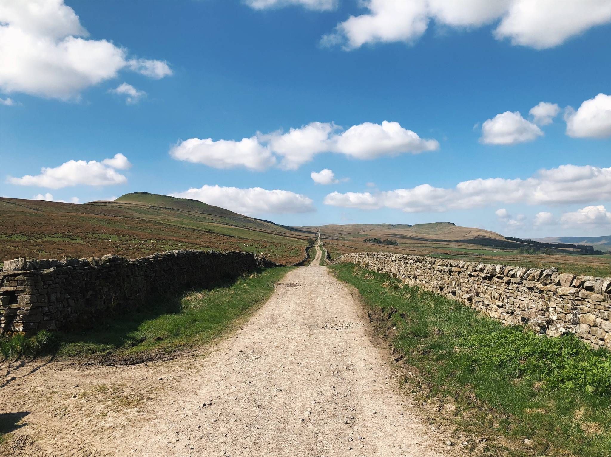
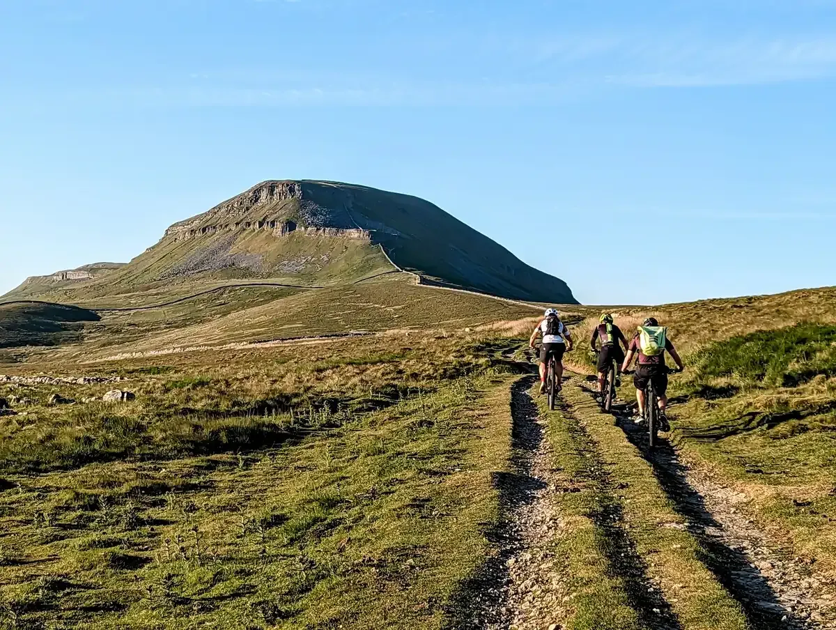
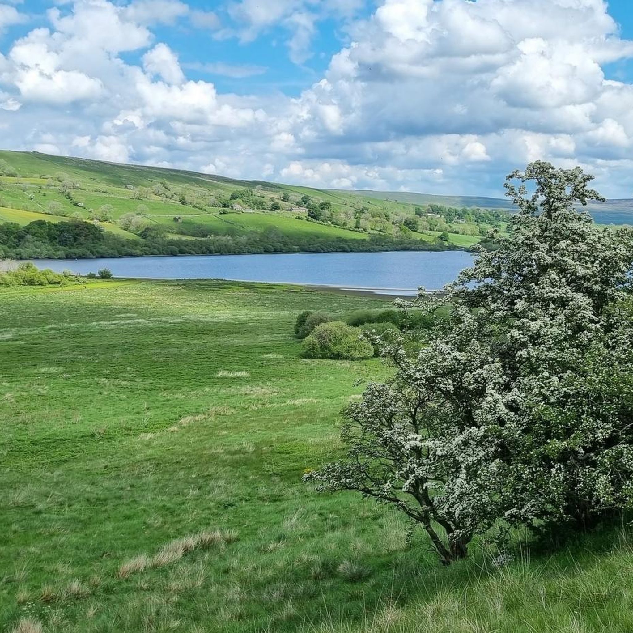
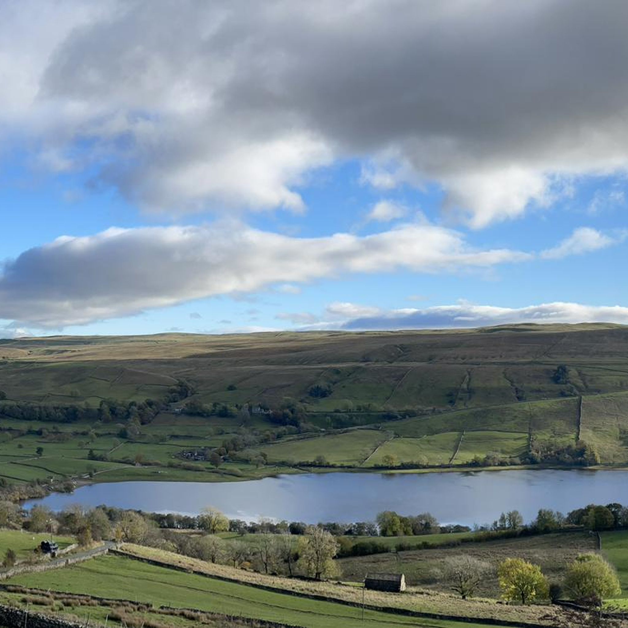
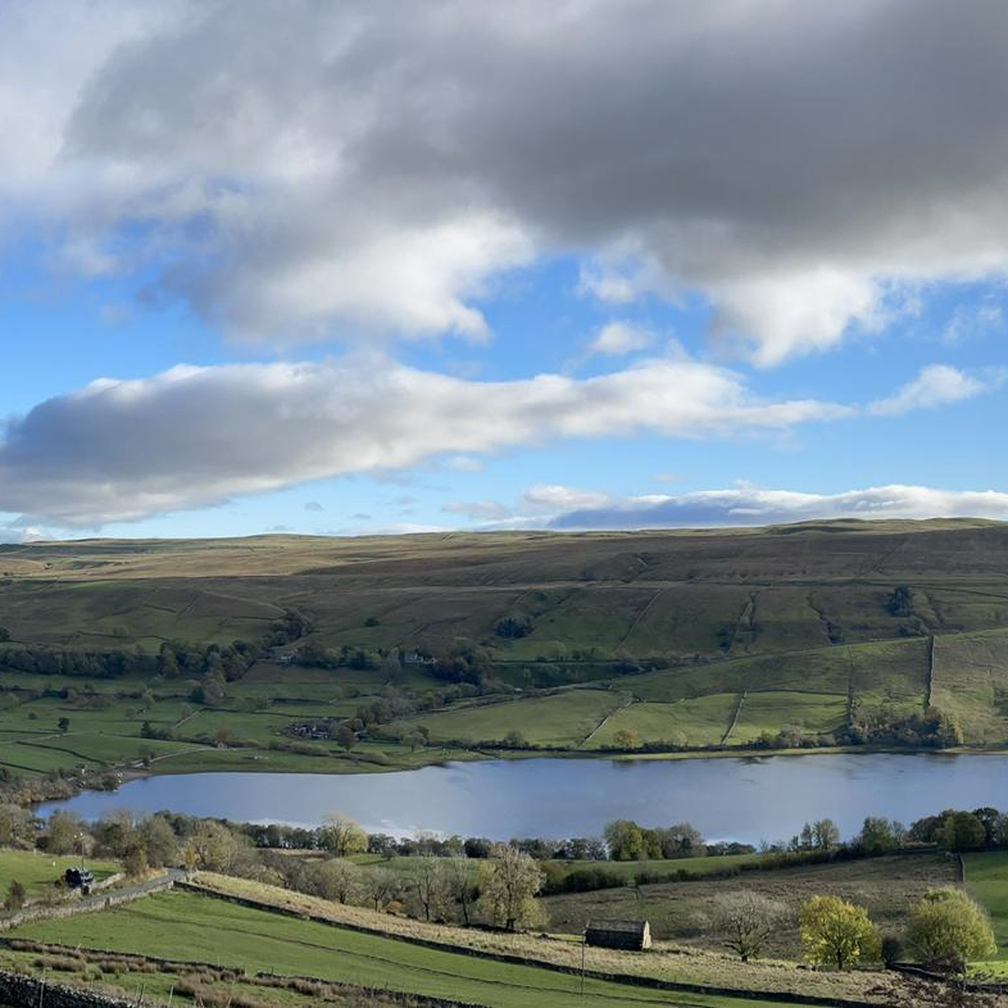
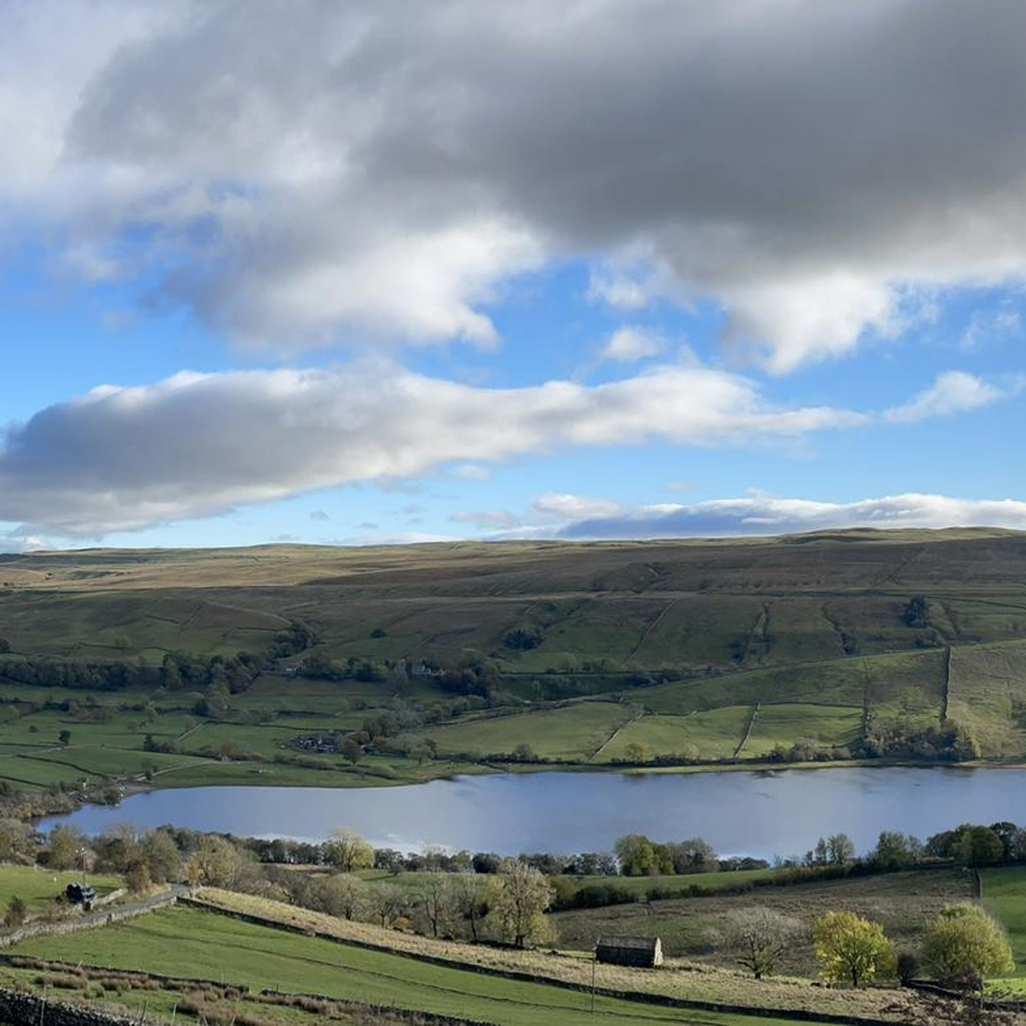

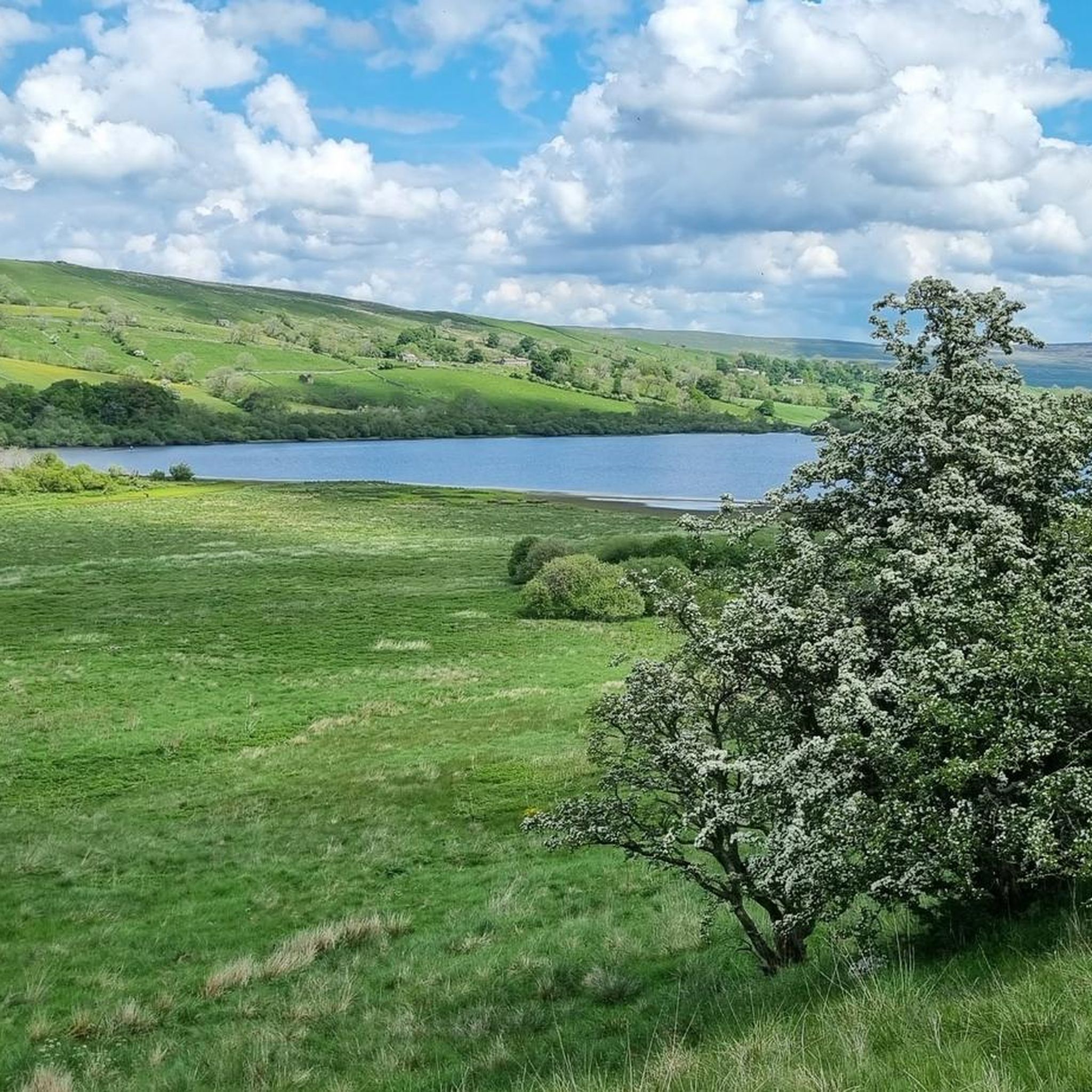


Tips from the Community

Tough sustained climb with a very steep section.
0
0

Brutal. Go around the wrong side of the road and plead forgiveness to the motorists (good luck with that). Take care coming down. With lots of gravel on the road
0
0

Gears 34 x 34 . Keep to outside of bend. Pace yourself
0
0

Fantastic loop from Hawes to Muker then Cross tops to Askridge then steady back to Hawes . The climbs are tough but an awesome ride
0
0

Done this twice now but from Hawes to Ingleton, Found it a bit of a slog as it it was into a strong headwind both times but some big views and wild landscape. With the wind going with you on a sunny day I imagine it's not too bad! but watch out for the motorbikes they fly past from out of nowhere.
0
0


long climb less traffic than buttertubs but its 25% to start the climb
0
0

Nothing to fret about and the ride from Hawes is steady. Great views all the way up and down. Not as challenging as Fleet Moss or Tan Hill.
0
0
Frequently Asked Questions
What are the most notable 'passes' around Bainbridge Island?
While Bainbridge Island doesn't feature traditional mountain passes, its geography is defined by significant water passages. The most prominent is Agate Pass, a high-current tidal strait separating the northern part of Bainbridge Island from the Kitsap Peninsula. It's known for its historical importance, scenic views, and the iconic Agate Pass Bridge.
What is the historical significance of Agate Pass?
Agate Pass holds deep historical importance, particularly for the Suquamish people, who had their traditional winter village, including the largest longhouse on Puget Sound (Old Man House), located there. The area also features a petroglyph called Haleets. European explorers initially mistook Bainbridge Island for a peninsula, unaware of this vital strait until 1841.
How does Agate Pass contribute to transportation on Bainbridge Island?
The Agate Pass Bridge, built in 1950 and listed on the National Register of Historic Places, spans this strait. It serves as a crucial transportation link, connecting Bainbridge Island to the Kitsap Peninsula via State Route 305. This bridge is one of only two vehicular access points to the island, the other being the Seattle-Bainbridge Island ferry.
What kind of natural features can I expect to see around Agate Pass?
The area around Agate Pass offers beautiful natural scenery. You'll find wooded and relatively steep shores, rocky coastlines fringed with kelp, and opportunities to enjoy the natural beauty of the Puget Sound. Tidal currents in the pass can be quite strong, reaching velocities of up to six knots.
Are there any viewpoints or scenic spots near Agate Pass?
Yes, the area around Agate Pass provides scenic views of the Puget Sound. You can enjoy perspectives from the shores or even from beneath the span of the Agate Pass Bridge itself, offering unique photographic opportunities.
What activities can I do near the Agate Pass area?
While the guide focuses on mountain passes (which are not present on Bainbridge Island), the nearby region offers a variety of outdoor activities. For instance, you can explore waterfall hikes, MTB trails, and road cycling routes in the broader Bainbridge region, which includes areas with more varied terrain suitable for these sports.
What is the topography of Bainbridge Island like?
Bainbridge Island's topography is characterized by gently rolling hills, flat lowlands, and steep coastal bluffs. Its highest point, Toe Jam Hill, reaches an elevation of only 425 feet. This landscape was primarily shaped by glacial activity during the last Ice Age.
Are there any challenging climbs or cycling routes on Bainbridge Island?
Bainbridge Island itself features gently rolling hills rather than challenging mountain passes. However, if you're looking for more demanding cycling experiences, the broader region (as indicated by the guide's highlights) offers challenging climbs like Buttertubs Pass Climb from Hawes and Park Rash Climb from Kettlewell, which are popular with road cyclists for their steep gradients and scenic views.
What do visitors enjoy most about the passes mentioned in the guide?
Visitors appreciate the challenging nature and stunning scenery of the passes. For example, Buttertubs Pass Climb from Hawes is loved for its classic road cycling ascent and beautiful Swaledale setting. Fleet Moss Climb from Oughtershaw is noted for being Yorkshire's highest road, offering a sense of accomplishment despite its rougher surface. The brutal steepness and notable hairpin of Park Rash Climb from Kettlewell also make it a memorable experience.
Are there any intermediate or less strenuous 'passes' or routes in the wider region?
Yes, for those seeking less extreme challenges, the wider region offers intermediate options. Newby Head Pass is described as a brilliant stretch of road with some of the best scenery, suitable for a great Dales ride. Kidstones Pass is considered one of the easier well-known local climbs, with a gentle start and great views, making it a good option for those looking for a moderate experience.
What kind of cycling is popular on the passes mentioned in the guide?
The passes highlighted in the guide, such as Buttertubs Pass, Fleet Moss, Park Rash, Newby Head Pass, and Kidstones Pass, are particularly popular among road cyclists. They are known for their challenging climbs, scenic routes, and often feature in cycling events, making them classic destinations for those looking to test their endurance and enjoy the landscape on two wheels.
Most popular routes around Bainbridge
Most popular attractions around Bainbridge

Get inspired with the komoot mobile app


Explore more
See even more epic mountain passes by checking out these guides around Bainbridge:
