Top 11 Natural Monuments around Llantysilio
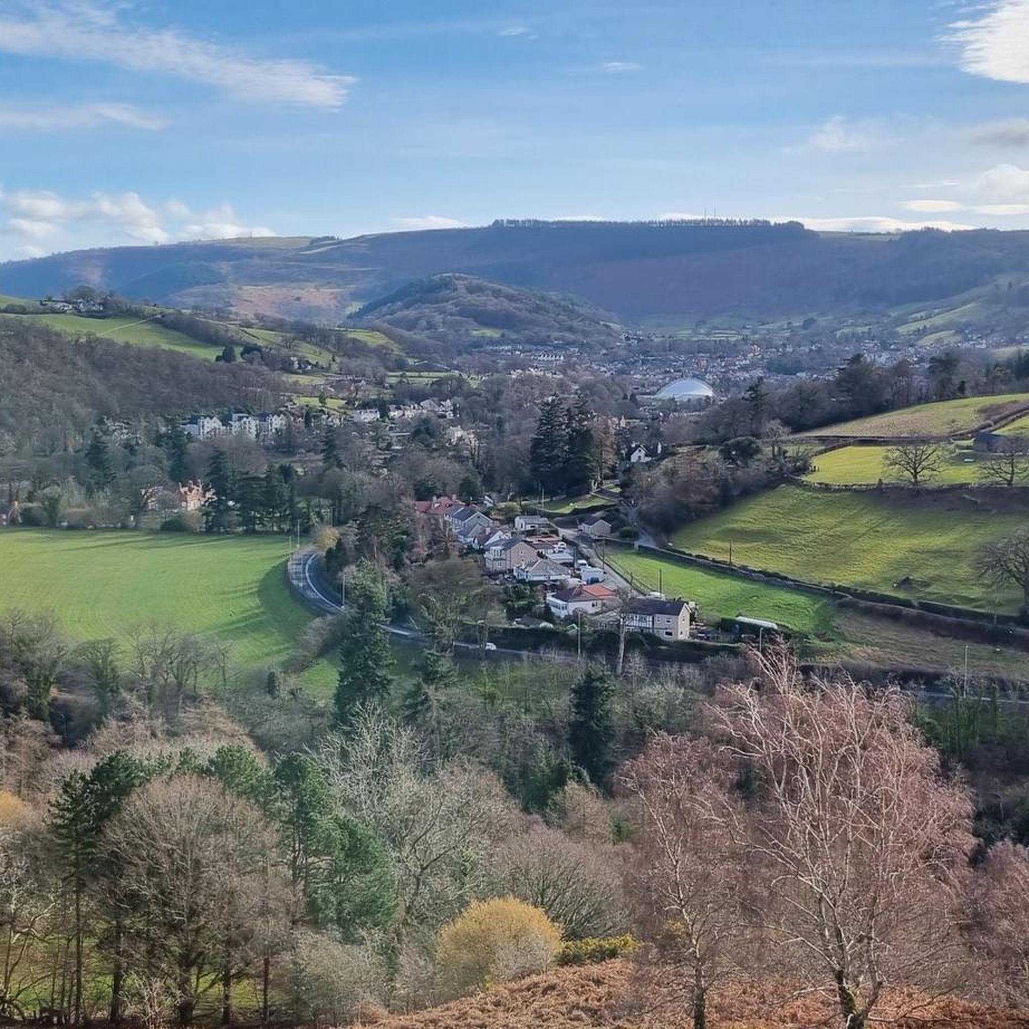
Natural monuments around Llantysilio are situated within the Dee Valley, offering diverse landscapes for outdoor exploration. The area features upland moorland ridges, dramatic limestone escarpments, and significant waterways. These natural settings often incorporate historical elements, providing varied points of interest. The region's terrain ranges from gentle river walks to challenging mountain hikes.
Best natural monuments around Llantysilio
- The most popular natural monuments is Horseshoe Falls, a man-made monument that diverts water from the River Dee into the Llangollen Canal.…
Last updated: July 1, 2026
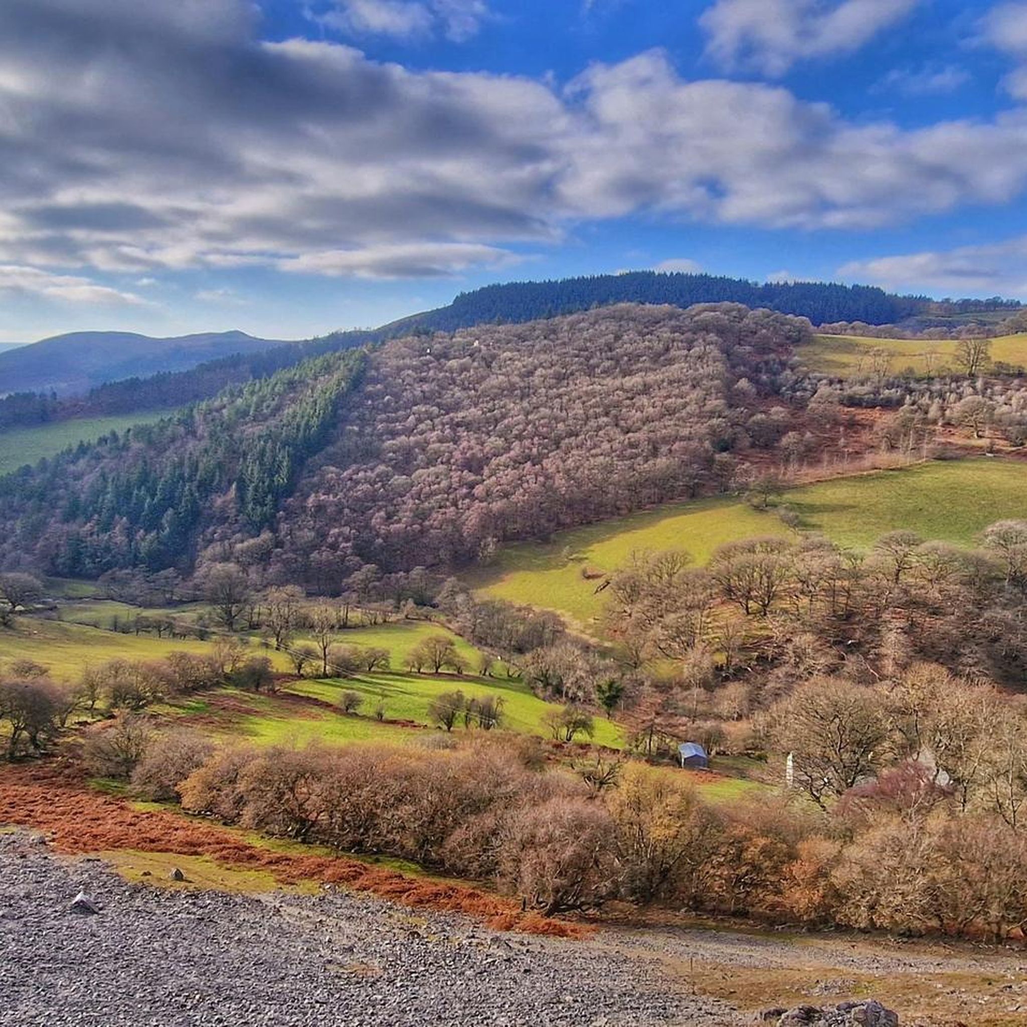
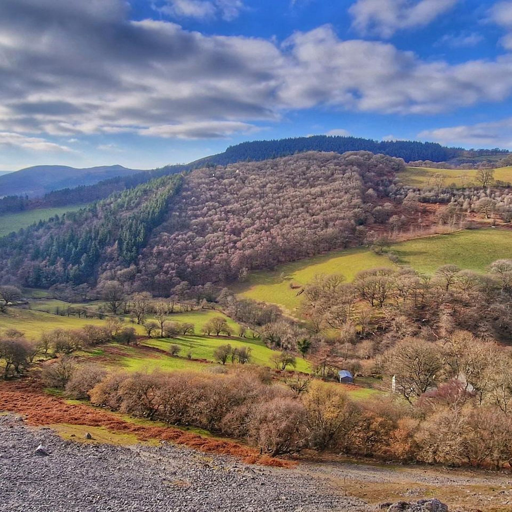
Moel Fferna
Highlight • Viewpoint
Tip by

Horseshoe Falls
Highlight • Monument
Tip by

Sign up now to discover places like this
Get recommendations on the best single tracks, peaks, & plenty of other exciting outdoor places.
Sign up for free
Moel Gyw Summit
Highlight • Viewpoint
Tip by

World's End Road and Ford (Eglwyseg Valley)
Highlight (Segment) • Trail
Tip by

Chirk Castle
Highlight • Castle
Tip by

Sign up for free to discover even more natural monuments around Llantysilio.
Sign up for free
Already have an account?
Start today with a free account
Your next adventure awaits.
Login or Signup
Tips from the Community

The Llantysilio Green weir, more commonly known as the Horseshoe Falls, is a 140-meter-long, horseshoe-shaped weir designed by Thomas Telford in 1808 to divert water from the River Dee into the Llangollen Canal. This prominent structure is a significant piece of engineering and a feature of the World Heritage Site, providing water for the canal and attracting tourists with its unique design and surrounding landscape. The Llantysilio Green Car Park is a designated access point for visiting the falls. In the late 19th century a long piece of wood, about 30cm wide, floated on the water here to deflect floating debris away from the canal intake. It was fixed at one end. It’s visible in the photo, taken c.1890. Some trippers couldn’t resist the temptation to walk along it, ignoring a warning sign nearby, if they weren’t spotted by the “waterman” in charge of the sluice. Local residents took a dim view of such “unheeding folly”. 😂😂
4
0
The castle was built in 1295 by Roger Mortimer de Chirk, uncle of Roger Mortimer, 1st Earl of March as part of King Edward I's chain of fortresses across the north of Wales, guarding the entrance to the Ceiriog Valley. It was the administrative centre for the Marcher Lordship of Chirkland. The castle was bought by Sir Thomas Myddelton in 1593 for £5,000 (approx. £18 million as of 2024). His son, Thomas Myddelton of Chirk Castle was a Parliamentarian during the English Civil War, but became a Royalist during the 'Cheshire rising' of 1659 led by George Booth, 1st Baron Delamer. Mullioned and transomed windows were inserted in the 16th and 17th centuries; the castle was partly demolished in the English Civil War and then rebuilt. Following the Restoration, his son became Sir Thomas Myddelton, 1st Baronet of Chirke. The castle passed down in the Myddelton family to Charlotte Myddelton (on the death of her father in 1796). Charlotte had married Robert Biddulph, who changed his name to Robert Myddelton-Biddulph, leaving the castle on his death to their son Robert. It then passed down in the Myddelton-Biddulph family.
5
0
Located on the River Dee, near to Llantysilio, this masterpiece of Thomas Telford Engineering is where the Pontcysllte Aqueduct and Canal World Heritage site begins. He designed this weir to draw water from the River Dee in to the canal, and it became a stunning addition to the landscape. At 460ft (140M) long, it’s a sight to behold.
6
0
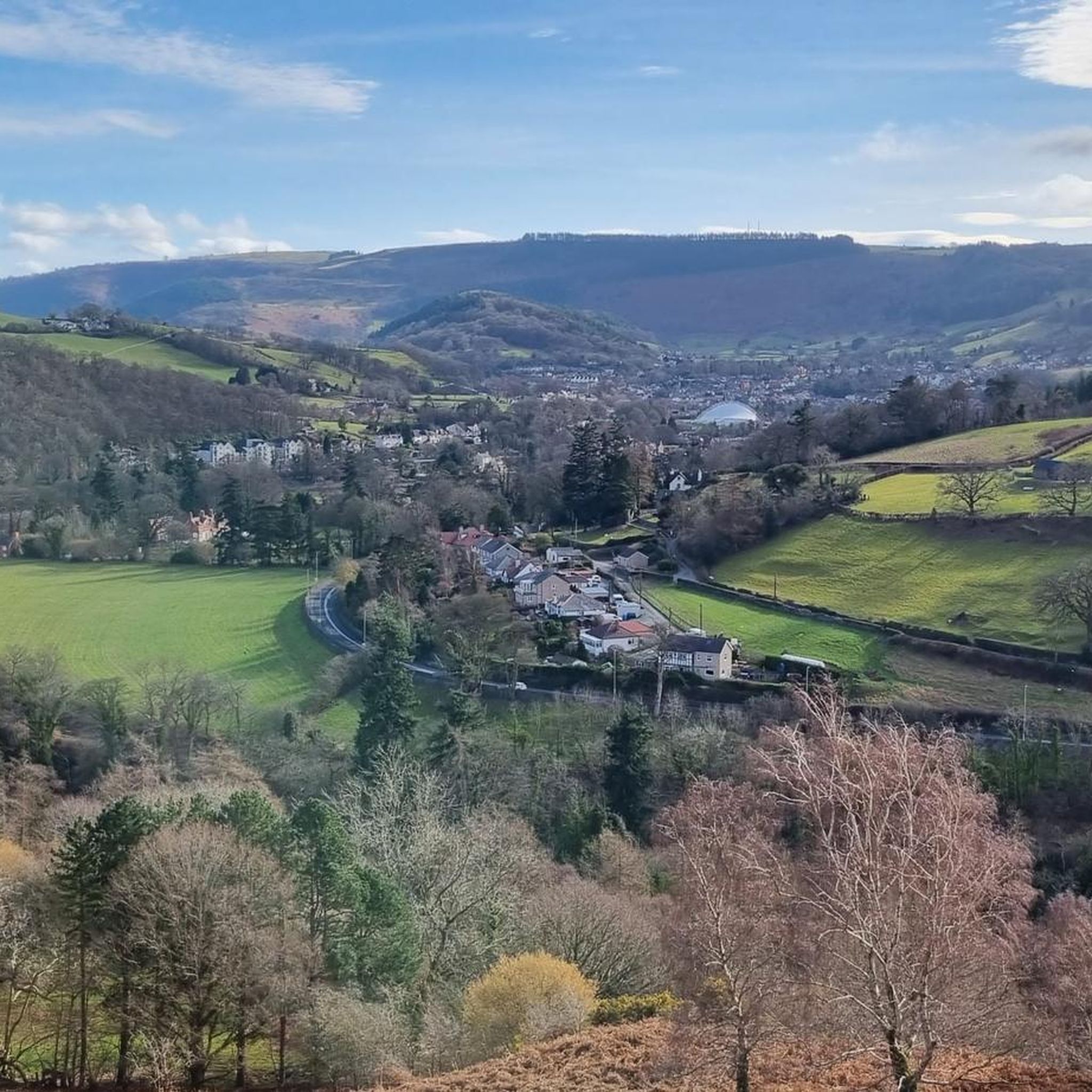
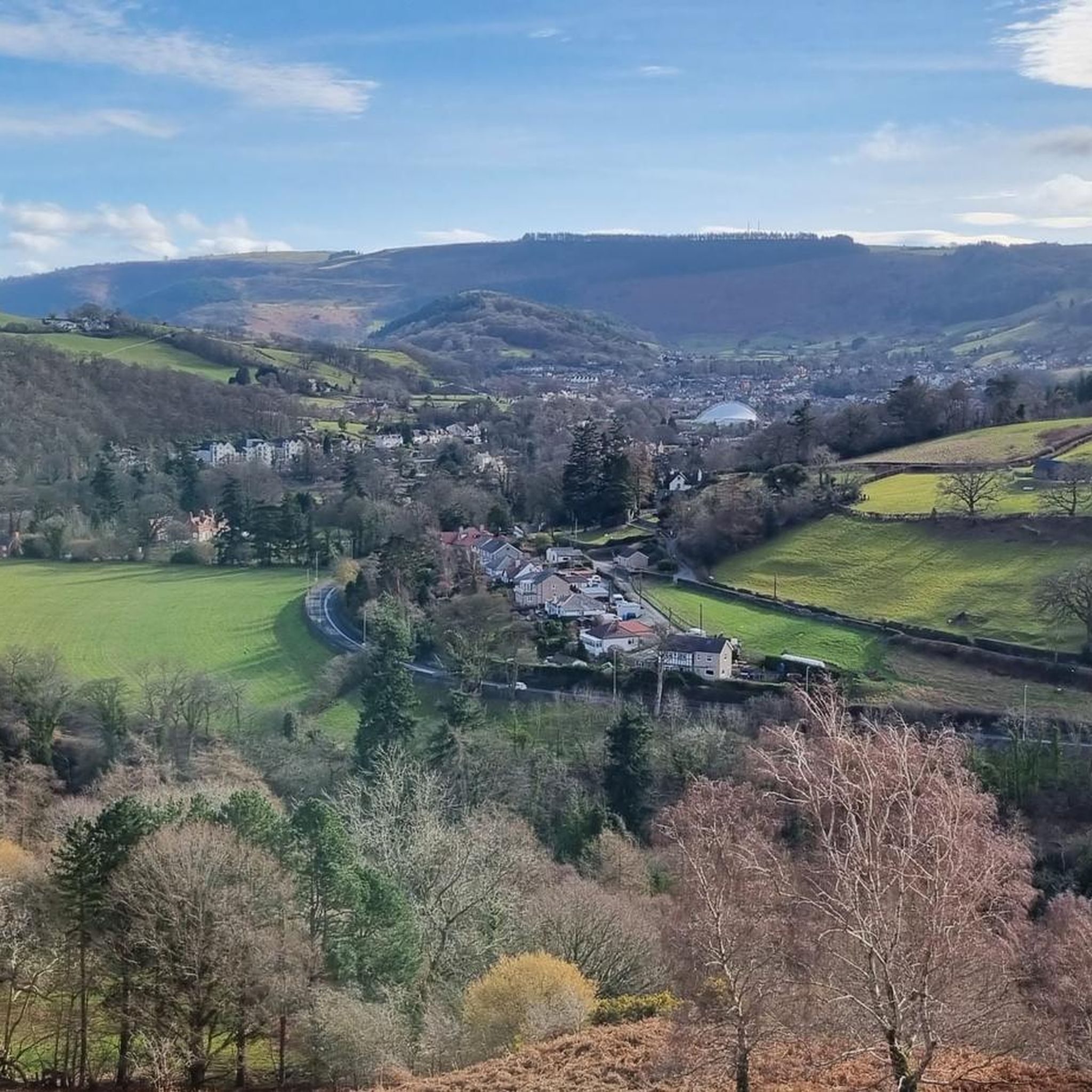
The area is popular with walkers, cyclists and tourists. The Offa's Dyke Path passes through World's End. World's End lies on a single track road from the small village of Minera near Wrexham, which crosses Esclusham Mountain and the Ruabon Moors to a public car park at the top of the Eglwyseg valley. The road crosses the Eglwyseg River by a ford, then goes on towards Pentre Dŵr, under the Horseshoe Pass, leading eventually to Llangollen or onto the Panorama in Trevor. Near World’s End is the manor house Plas Ucha yn Eglwyseg, built in 1563. It was for a time the home of John Jones Maesygarnedd, one of the signatories of the death warrant for Charles I of England. The building is said to stand on the site of a hunting lodge of Owain ap Cadwgan, prince of Powys, where Owain carried Nest (daughter of Rhys ap Tewdwr) when he stole her away from her husband Gerald de Windsor in 1109.
3
0

I really cant stress how slippy the ford is and wet and painful
1
0
Linear earthwork that runs 176 miles that runs along the border of England and Wales. It was named after King Offa the 8th century ruler of the Kingdom of Mercia. Beautiful spot for photo, very pieceful and a great walk.
0
1
The castle was built in 1295 by Roger Mortimer de Chirk, uncle of Roger Mortimer, 1st Earl of March as part of King Edward I's chain of fortresses across the north of Wales. It guards the entrance to the Ceiriog Valley. It was the administrative centre for the Marcher Lordship of Chirkland.
3
1
The distinctively shaped weir, which is 460 feet (140 m) long, helps create a pool of water that can enter the Llangollen Canal (via an adjacent valve house and flow meter). The canal west of Pontcysyllte Aqueduct and the construction of the weir were authorised by an Act of Parliament obtained in 1804 by the Ellesmere Canal Company. The canal was a navigable feeder, which supplied water to the Ellesmere Canal beyond Pontcysyllte, and to the Chester Canal, to which it connected near Nantwich. Thomas Telford was the civil engineer responsible for the design, and the canal and feeder were completed in 1808.
3
1
Frequently Asked Questions
What types of natural monuments can I explore around Llantysilio?
Llantysilio, situated in the Dee Valley, offers a diverse range of natural monuments. You can find impressive upland moorland ridges like Llantysilio Mountain, dramatic limestone escarpments such as Eglwysig Rocks, and significant waterways including the River Dee. These natural settings often feature historical elements, providing varied points of interest.
Are there any family-friendly natural monuments in the Llantysilio area?
Yes, Horseshoe Falls is a great option for families. While technically a weir, its scenic beauty and tranquil setting on the River Dee make it popular for picnics and gentle walks. Its location also marks the beginning of the Pontcysyllte Aqueduct and Canal World Heritage site.
What are some of the best viewpoints for panoramic scenery?
For breathtaking views, consider visiting Moel Fferna, which is the highest point in the Clwydian Range and Dee Valley Area of Outstanding Natural Beauty at 630 meters. It offers extensive panoramic views. Additionally, the Llantysilio Mountain area and Eglwysig Rocks provide dramatic vistas over the surrounding landscape and Dee Valley.
Are there historical sites intertwined with the natural monuments?
Many natural monuments in Llantysilio have historical significance. For example, Horseshoe Falls is a 19th-century engineering marvel designed by Thomas Telford. The Llantysilio Mountain area also shows signs of early prehistoric activity, including Bronze Age burial mounds on Moel y Gamelin and the hillfort of Moel y Gaer Llantysilio, which offers unique perspectives of the natural landscape from its elevated position.
What outdoor activities can I do near these natural monuments?
The region offers a variety of outdoor activities. You can find numerous hiking trails, including easy and moderate options. For cycling enthusiasts, there are routes for touring bicycles and challenging mountain biking trails. Explore more options on the hiking guide, cycling guide, and MTB trails guide for Llantysilio.
Are there any easy hiking trails suitable for beginners?
Yes, for an easy and scenic walk, consider the trail around Horseshoe Falls. The Llangollen History Trail is also an easy option, covering about 1.3 km. You can find more easy routes in the hiking guide for Llantysilio.
What is the best time of year to visit the natural monuments in Llantysilio?
The Dee Valley, including Llantysilio, is beautiful year-round. Spring and summer offer lush greenery and warmer weather, ideal for walks and picnics. Autumn brings vibrant foliage, especially in the wooded areas. While some higher moorland trails can be exposed, many natural monuments are accessible in various seasons, though checking local weather is always advised.
Can I bring my dog to the natural monuments?
Many outdoor areas and trails around Llantysilio are dog-friendly, especially those on public footpaths and open access land. However, always keep dogs under control, particularly near livestock or in nature reserves. Specific rules may apply to certain sites, so it's best to check local signage.
Where can I find parking for natural monuments like Horseshoe Falls or Llantysilio Mountain?
For Horseshoe Falls, the Llantysilio Green Car Park is a designated access point. For areas within Llantysilio Mountain or near Eglwysig Rocks, various public car parks and lay-bys are available, especially at popular trailheads. It's advisable to check specific access points for your chosen route.
What should I wear when exploring the natural monuments?
Given the varied terrain, from river walks to mountain hikes, it's best to wear comfortable, sturdy walking shoes or hiking boots. Layers of clothing are recommended as weather conditions can change, especially on higher ground. Waterproof outerwear is also advisable, particularly outside of peak summer months.
Are there any natural monuments that are less known but still worth visiting?
While not as widely known as Horseshoe Falls, World's End Road and Ford (Eglwyseg Valley) offers a unique experience. It's a trail passing through a nature reserve of woods and moorland, featuring a single-lane road with scenic views and a ford. It's popular with walkers and cyclists seeking a more secluded natural setting.
What is the highest point in the Clwydian Range and Dee Valley Area of Outstanding Natural Beauty?
The highest point in the Clwydian Range and Dee Valley Area of Outstanding Natural Beauty is Moel Fferna, standing at 630 meters (2,070 feet). It is part of the wider Berwyn Range and offers challenging long walks with rewarding views.
Most popular attractions around Llantysilio

Get inspired with the komoot mobile app


Explore more
Extend your search for the best caves by checking out these guides of the top ones around Llantysilio:
